Bigfoot Hill WA
April 18th, 2026
Hi, we're the Mountain Goats (Terrence and Nathan), and today I (Terrence) summited Bigfoot Hill. My knowledge of Bigfoot Hill stems from the fact that it's the 70th-most-prominent peak in Washington. Due to this, its close proximity to home (20 Minutes from Bellingham), and the fact that evening plans called for something a bit shorter and found myself pulling up to the Y Road TH at 5:30 AM to hike Bigfoot Hill.
Bigfoot Hill is a maze of old logging roads, mountain biking trails, and hiking trails. This makes navigation quite difficult, so I'd recommend using a GPX track. The trail starts from the South end of the parking lot, it's marked by an information board. The trail switches from logging road to traditional trail often.
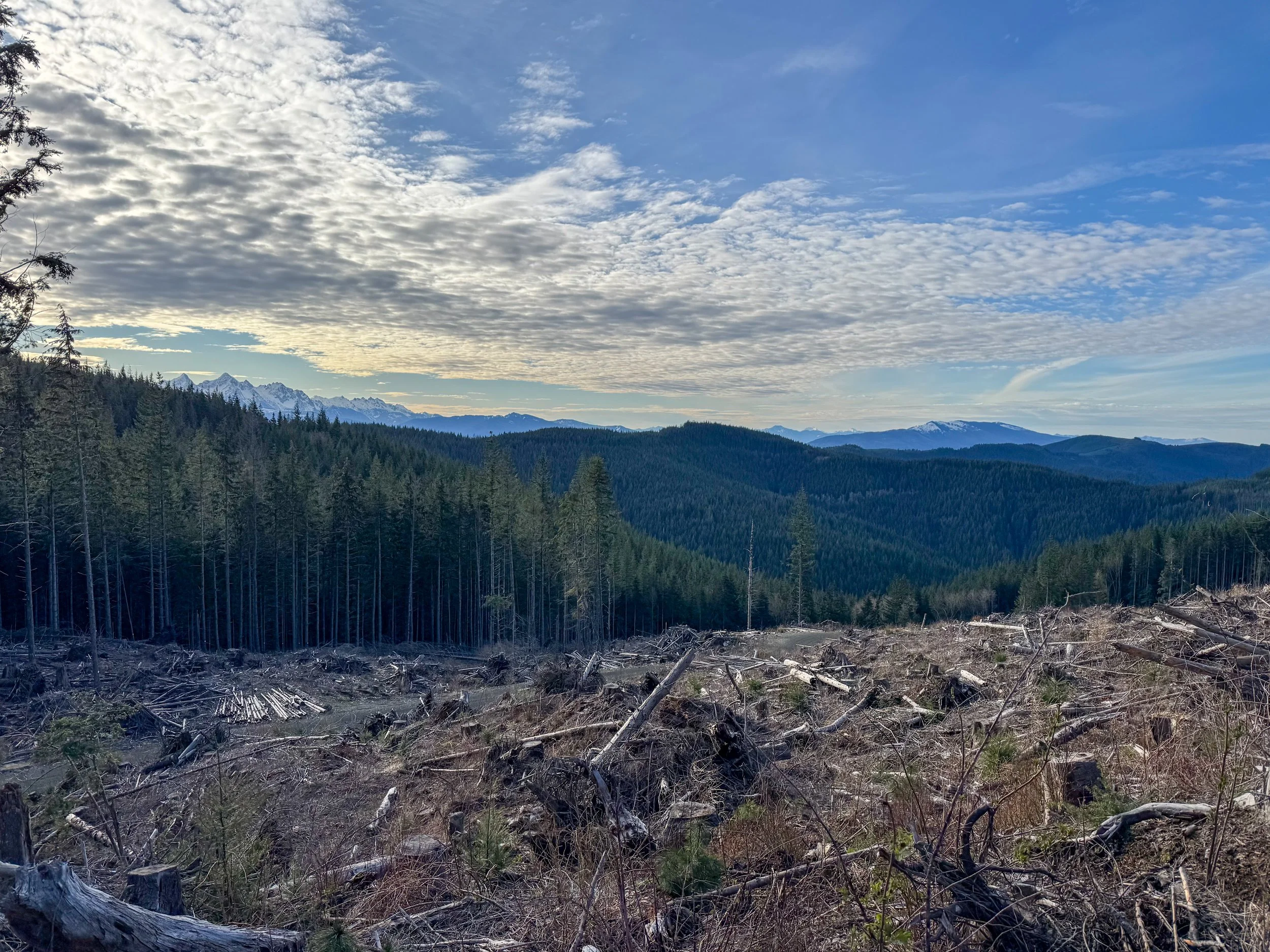
As is common with logging roads, the elevation gain was gradual. The route snaked through new-growth forests, with evidence of previous logging everywhere. Views finally opened up around 1700’ as an open clearing gave views of the nearby Lake Whatcom.
From here, the trail continues to ascend along old logging roads before heading into the woods, and the route transitions back to a traditional trail (2,200'). The push-up to "Slash" is the steepest section. I gained 750', which is just over half a mile, before topping out on the flat summit of Slash.
The trail ends here, which means you need to bushwhack over and down Slash to meet up with a logging road that takes you near Bigfoot Hill. I've done my fair share of bushwacking, so this section wasn't terrible. The dead trees and loose dirt were quite annoying; careful navigation through here is crucial to not twist an ankle. Views finally opened up on the other side of Slash. Lyman Hill and the Twin Sisters' snowcapped peaks dominate the skyline. The views, however, are short-lived, as you drop onto the forest road and follow it Northeast towards Bigfoot Hill's true summit
Views of the Twin Sisters and Lyman Hill
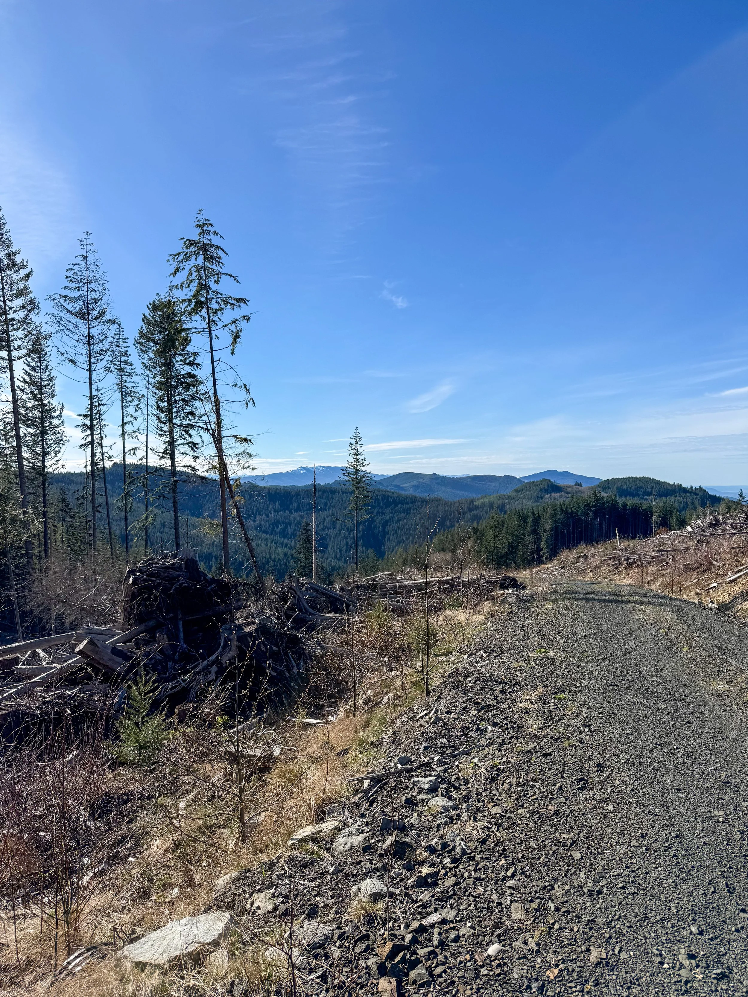
Upper roads
Looking North towards Canada
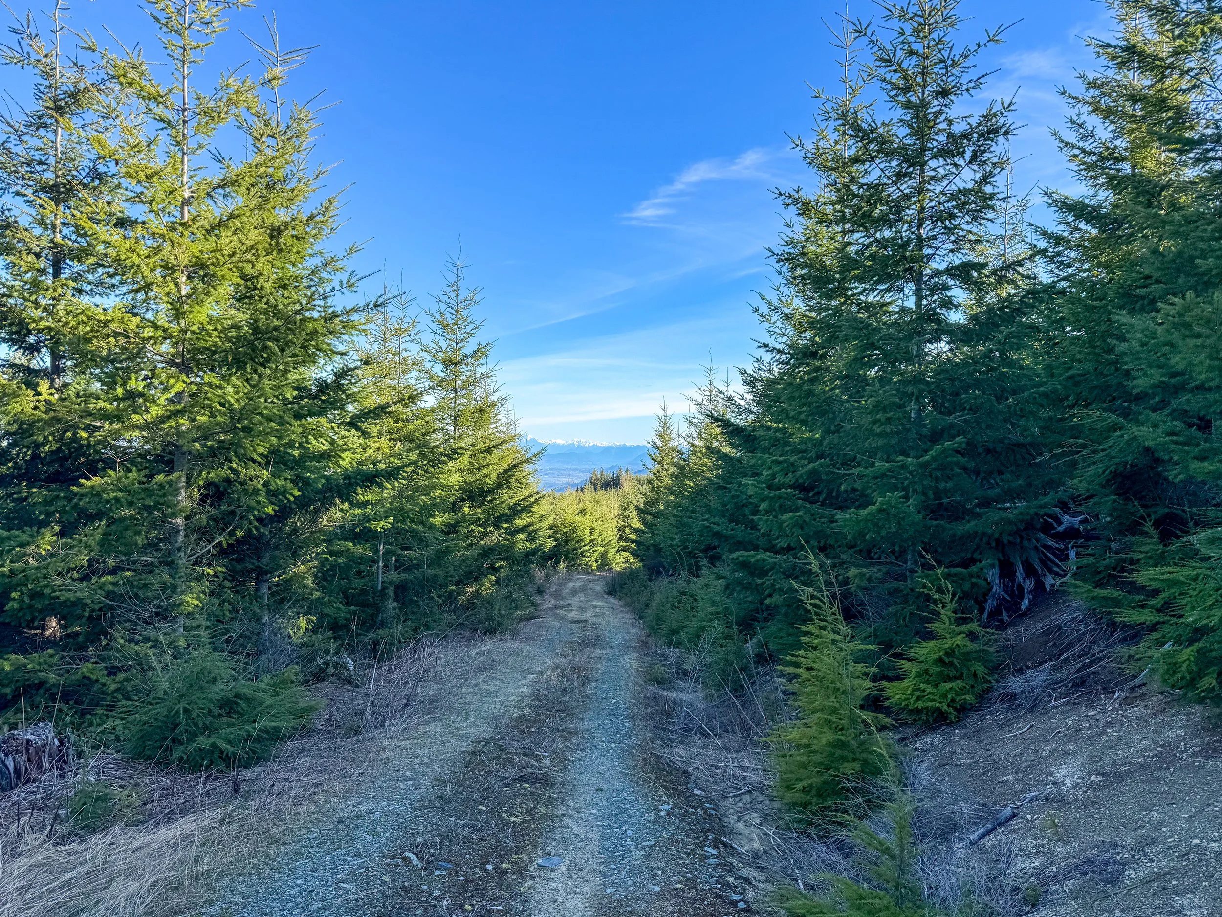
There are no official trails that lead to Bigfoot Hill's true summit. The majority of people simply take the road within 1000 feet and just bushwack to the summit. A road leads within 200 feet of the summit, but this adds half a mile to your total. I opted for the first option and fought new growth, brambles, and brush all the way to the top.
There is no official summit marking; however, it should be pretty obvious when you're at the tippy top. The summit is covered in greenery, but I was surprised to see the Twin Sisters and Mount Baker visible from the top. I ended up bushwalking down the other side and meeting up with the previously mentioned forest road that takes you within 200 feet of the top. Here, I found a short climbers' trail that led to the stump, offering unobstructed views of Baker and the Twin Sisters. This was definitely the spot to eat breakfast.
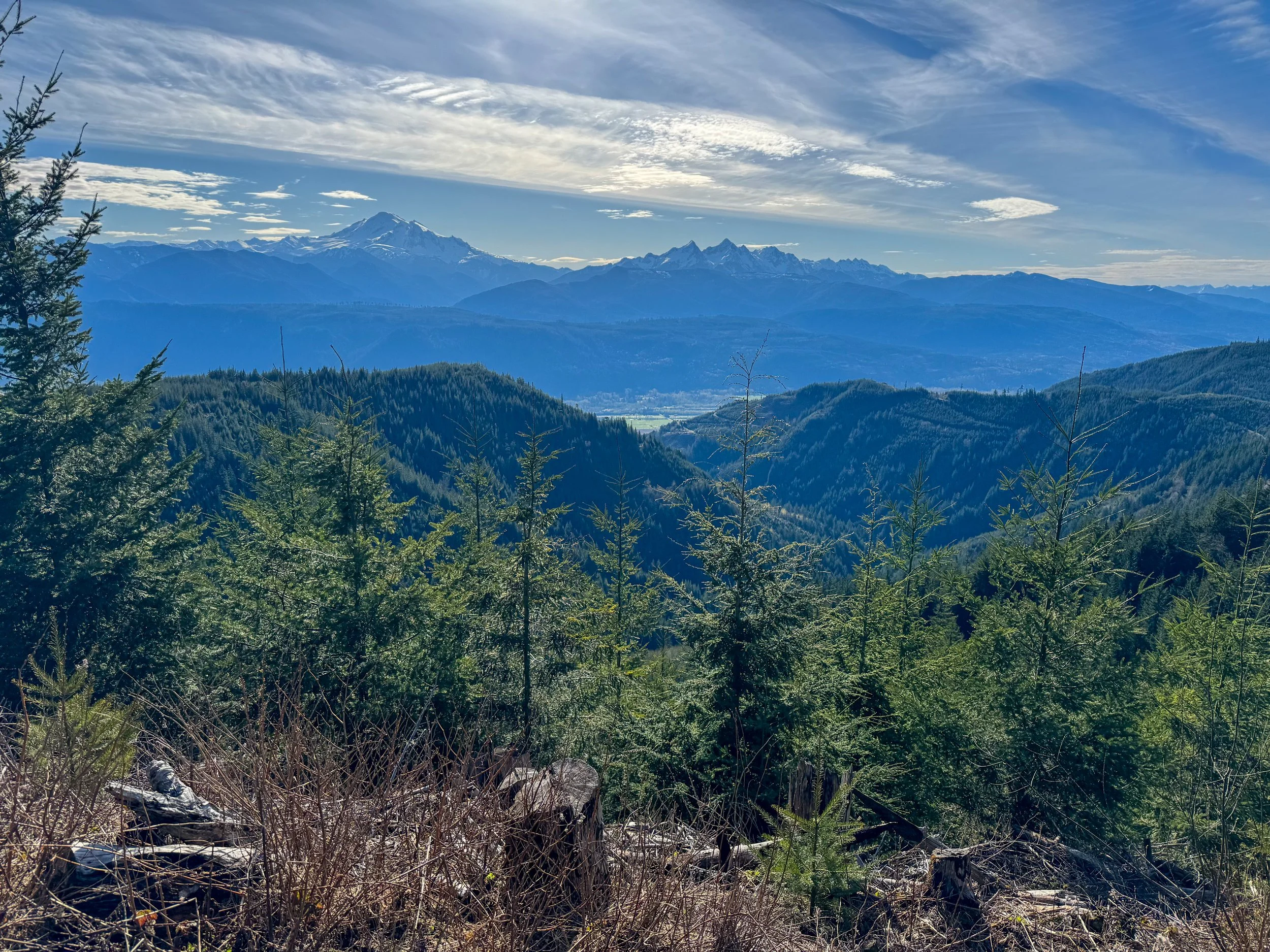
A damn solid view
It took me just under 3 hours to reach the summit, including a 20-minute break at a lower clearing. After eating a bagel and watching Mount Baker, I packed my stuff and began my descent. Instead of bushwacking back over Bigfoot, I opted for taking the forest road back. This ended up giving me views of the distant Canadian Mountains East of Vancouver.
The descent was without trouble. I ended up bushwacking a bit lower, which bypassed going over Slash. I ended up gaining more elevation, but the bushwhacking section was far shorter.
Overall, this is a fun little hike. If you're in the Bellingham area, I'd highly recommend giving this one a shot. It's a great training hike, and although the TH was packed when I got back, I didn't run into anyone on the trail. Just be prepared for a little bushwack!
As Always, Happy Hiking and Stay Safe!
Final Stats: 11 Miles - 3,000' Elevation Gain - 5:50 Car to Car