Castle Towers BC
8/18/26
BC Day 2/2
Castle Towers Mountain, 8,870 ', is the high point of the Garibaldi Area, sitting only 4 feet higher than the iconic Mount Garibaldi. While most mountains in this area require extensive snow/glacier travel, the standard route bypasses the massive Cheakamus and Spinx Glacier and requires only one class 4 move to reach the true summit.
After summiting Rainbow Mountain, I drove through Whistler and took the Cheakamus FSR to the Cheakamus Lake TH, where I car camped. I set my alarm for 4:45, knowing it would be a 22+ mile day.
After getting some mediocre sleep, I hit the trail just after 5 am. I followed the Cheakamus Lake Trail down to Cheakamus River, crossed it, and turned onto the Helm Creek Trail. The grade quickly steepened as I ascended 1,000' through a series of switchbacks. Once past them, the grade eased as I continued another 3 miles to Helm Creek Camp. Just before camp, I broke out of the treeline and onto vast meadows; the Black Tusk towered in the distance, and the dozens of tents created a picturesque scene. I continued another mile before turning left onto the unmaintained Helm Glacier Trail.
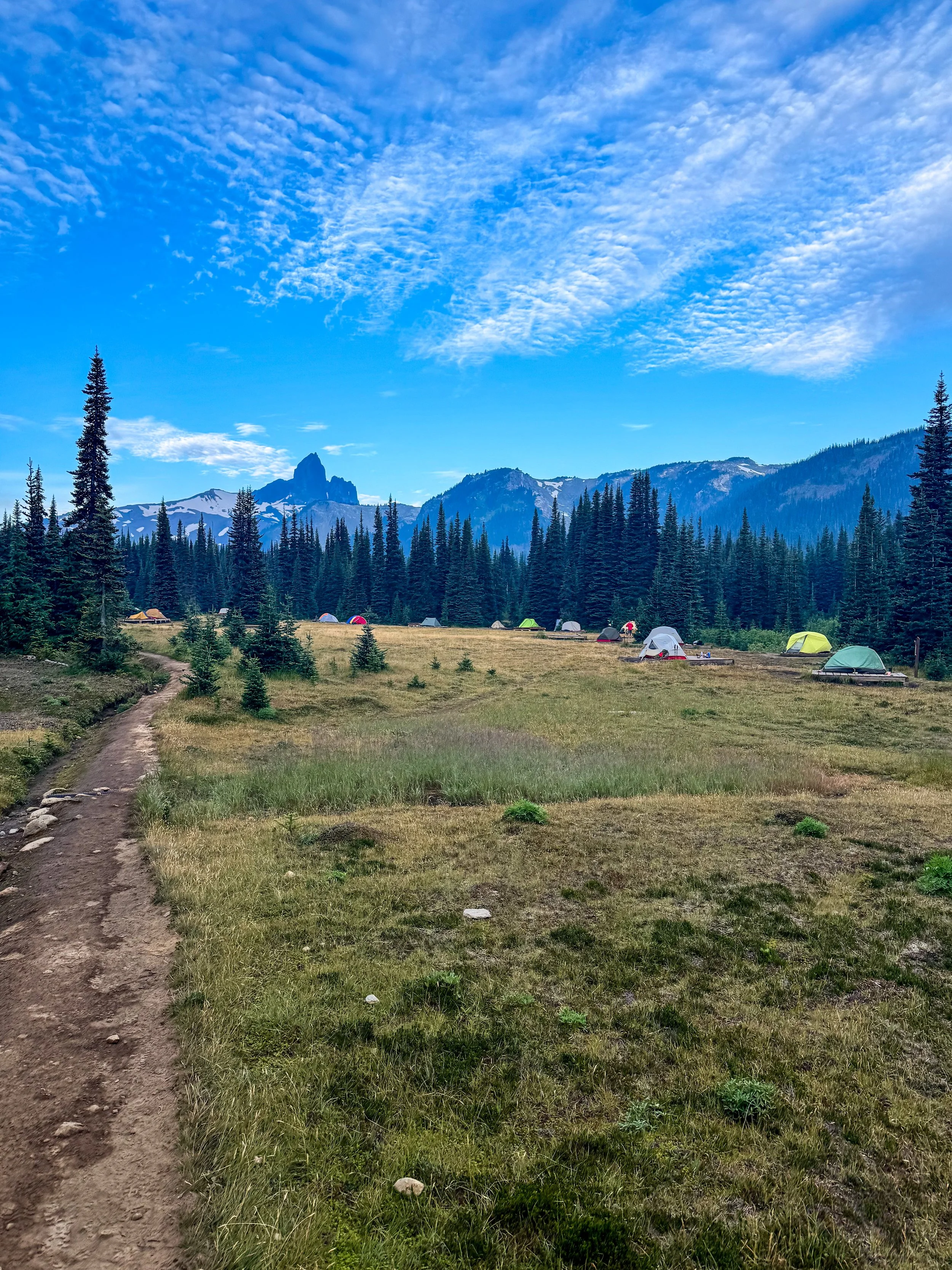
God what a mountain
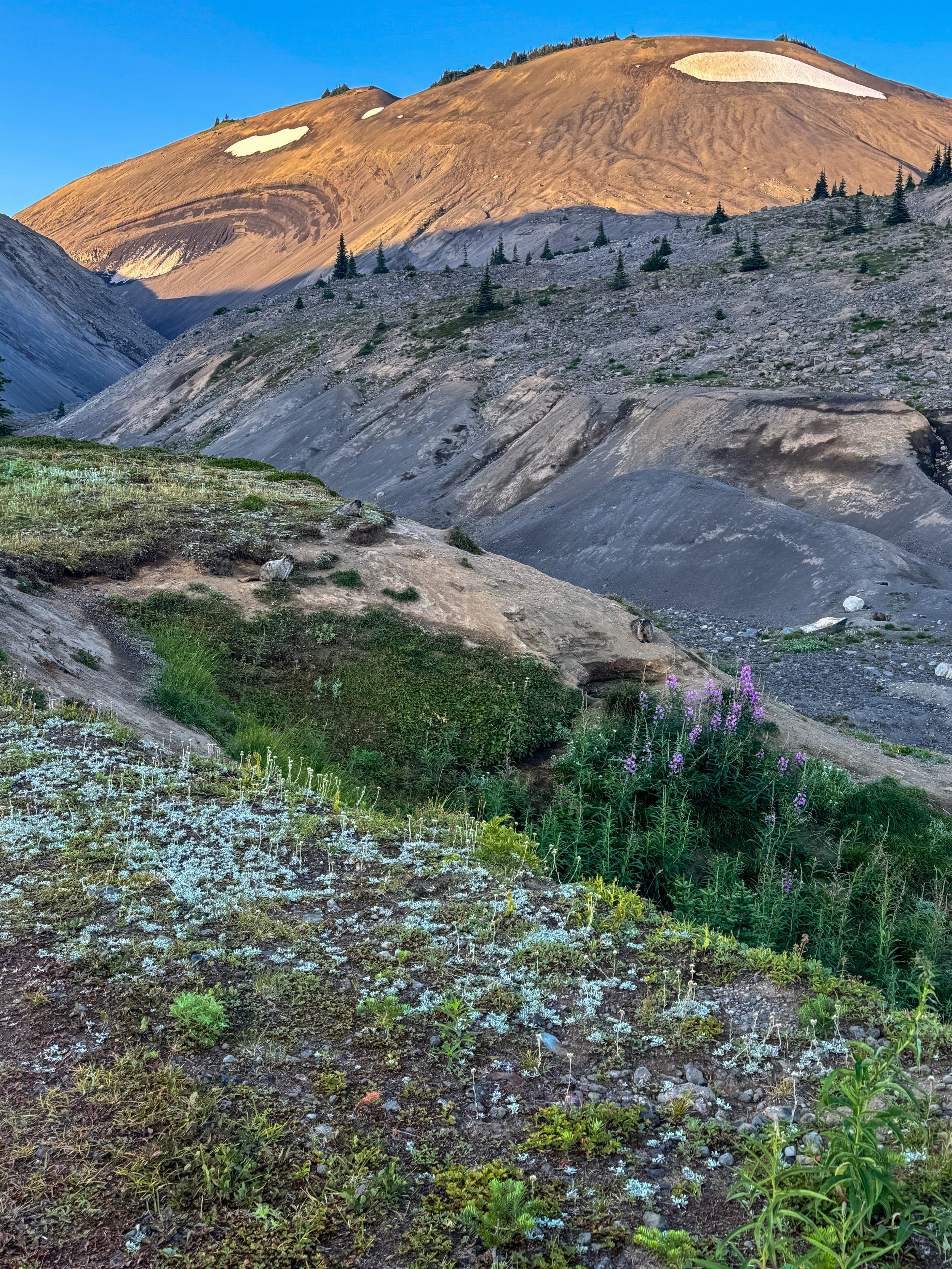
Marmots
I quickly left the meadows behind and entered an old glacial valley. Marmots were everywhere, their burrows visible from the trail. After about a mile of hiking, I reached the base of the Helm Glacier and the tarn at its base. Based on GPS tracks, I stayed left of the glacier, side-hilling on terrible rock. This was tedious and slow, taking nearly an hour to travel .65 miles. Once past the glacier, I stayed left and ascended to 7,000' and Gentian Pass. There, I got my first views of Castle Towers dead center and Garibaldi to the left.
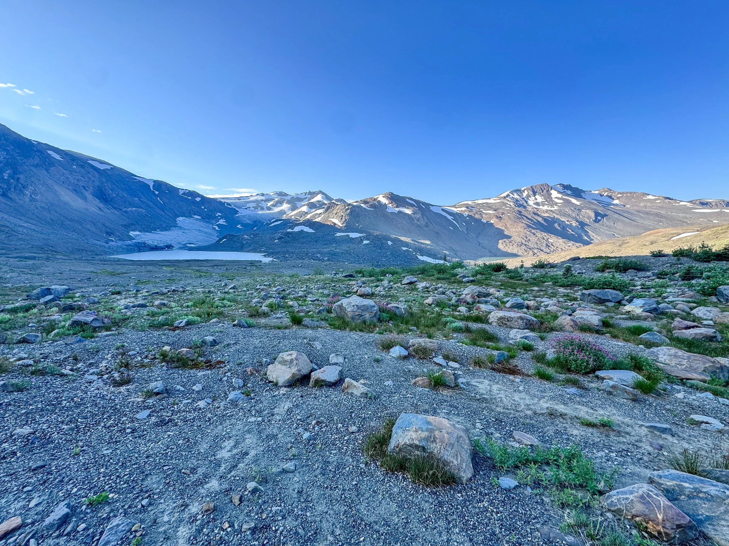
Helm Glacier - stay to the right
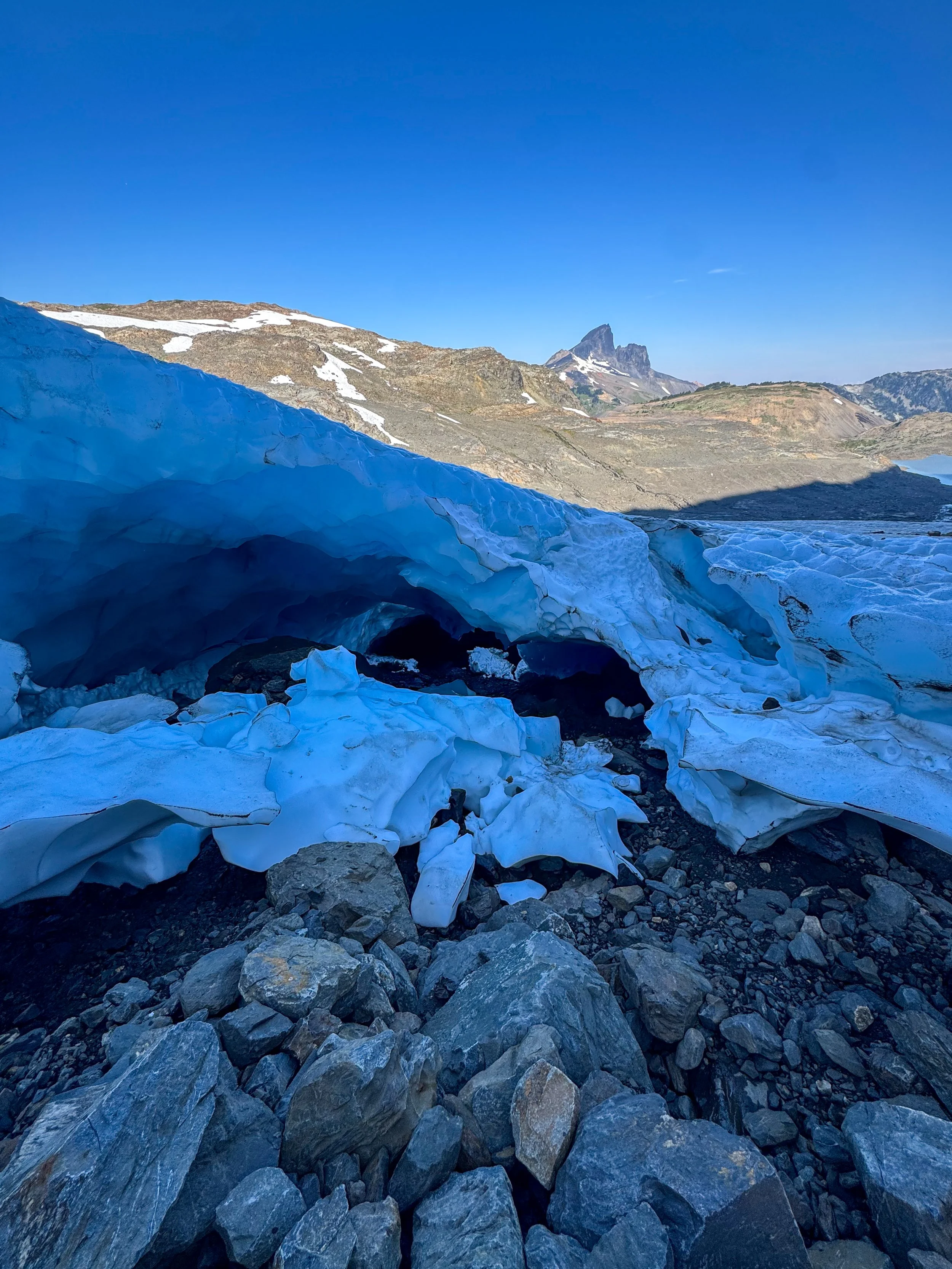
Yea this sucked, buttt… I mean this was pretty awsome
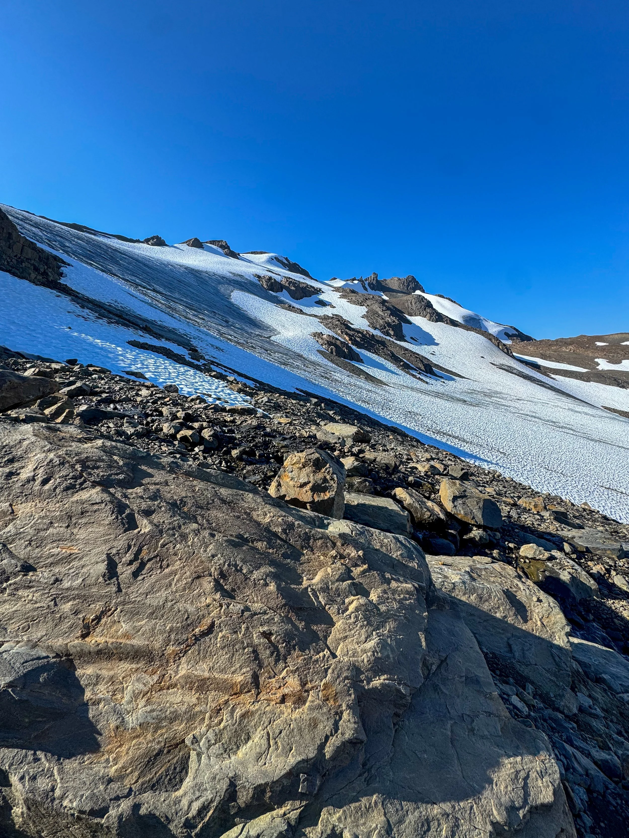
Stayed left of this
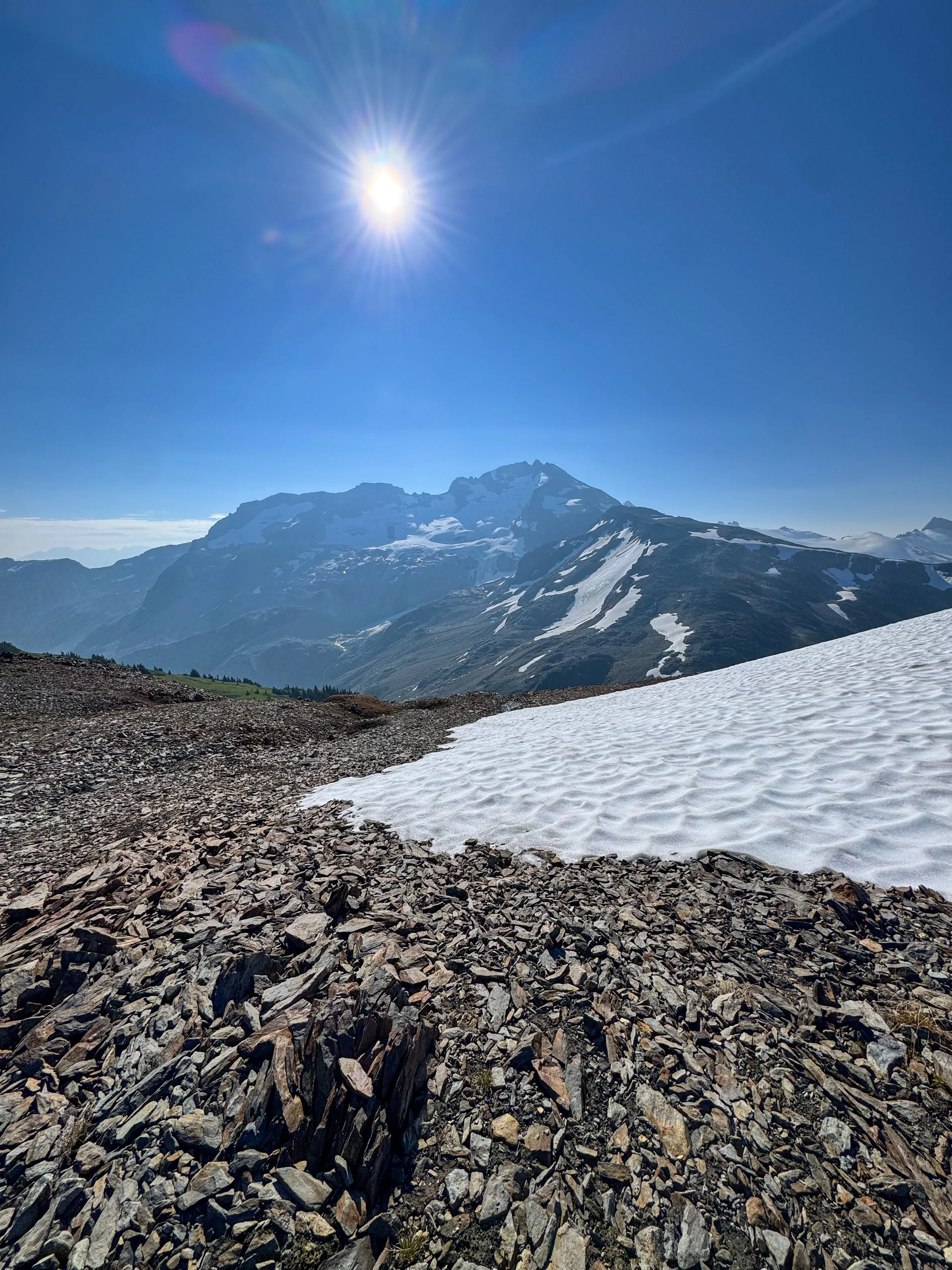
There she lies
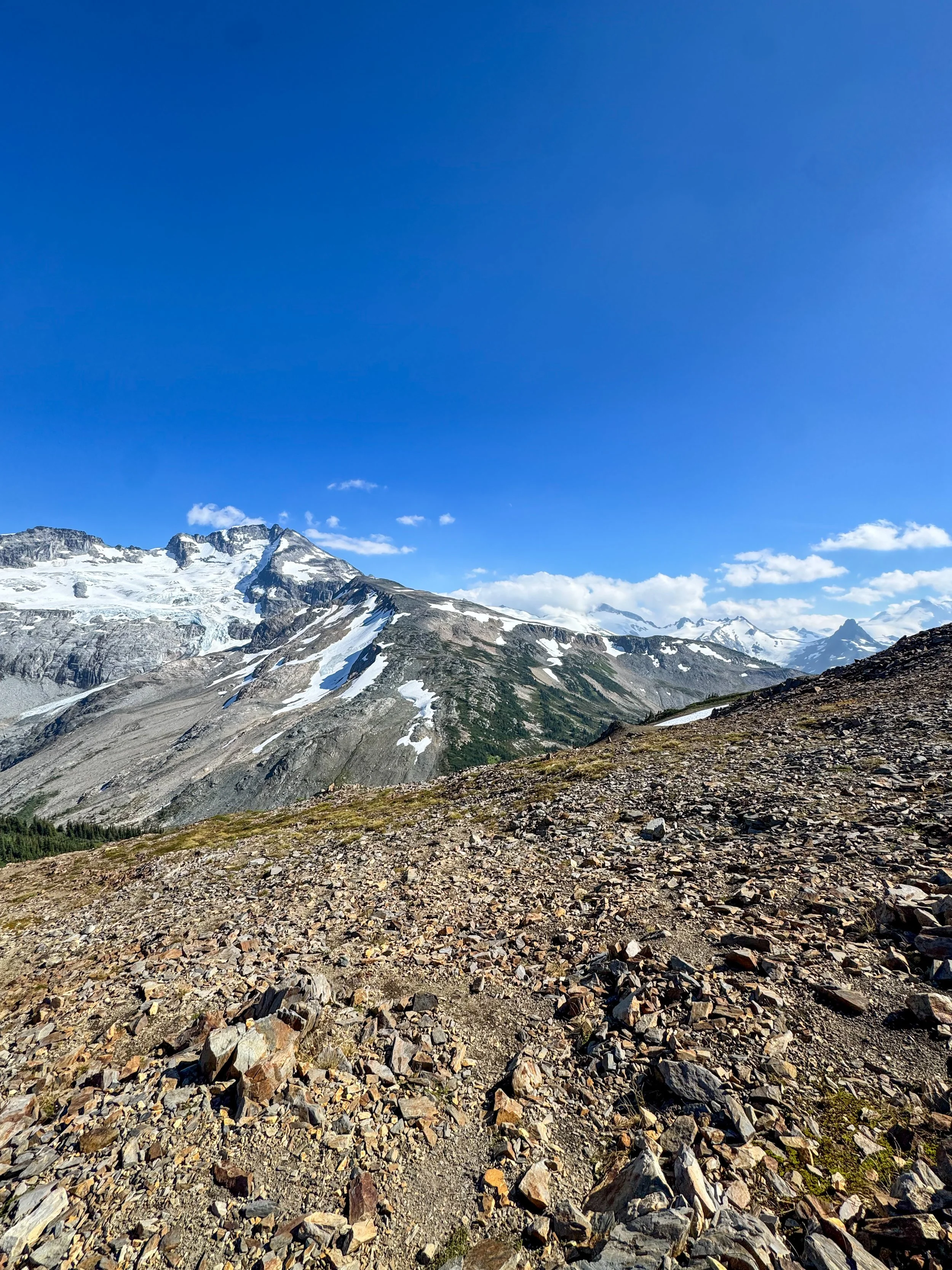
Nice shot of the whole route up
A deep valley stood between Castle Towers and me, so I had to descend nearly 1000' to the base of the mountain. At the valley floor, I hit a creek; it would be my last running water source, which wasn't ideal. From here I picked up a nice climber's trail and followed it through a rugged alpine meadow to 7000', before transitioning onto boulder fields, a staple of Castle Towers. At 7,500' I reached Polemonium Ridge and got a sweeping vantage point of Castle Towers' vast glaciated slopes. I continued along the climber's trail, dropping 250' and traversing the ridgeline; if you stay on route, there is nothing harder than class 2+. Once past, I began to ascend 1,500' of massive boulder fields, which was tedious and demoralizing. At 8,800' I topped out at the false summit of Castle Towers—many stop here as it's simply a walk up to this point. The true summit (a blocky pile of rocks) requires some scrambling.
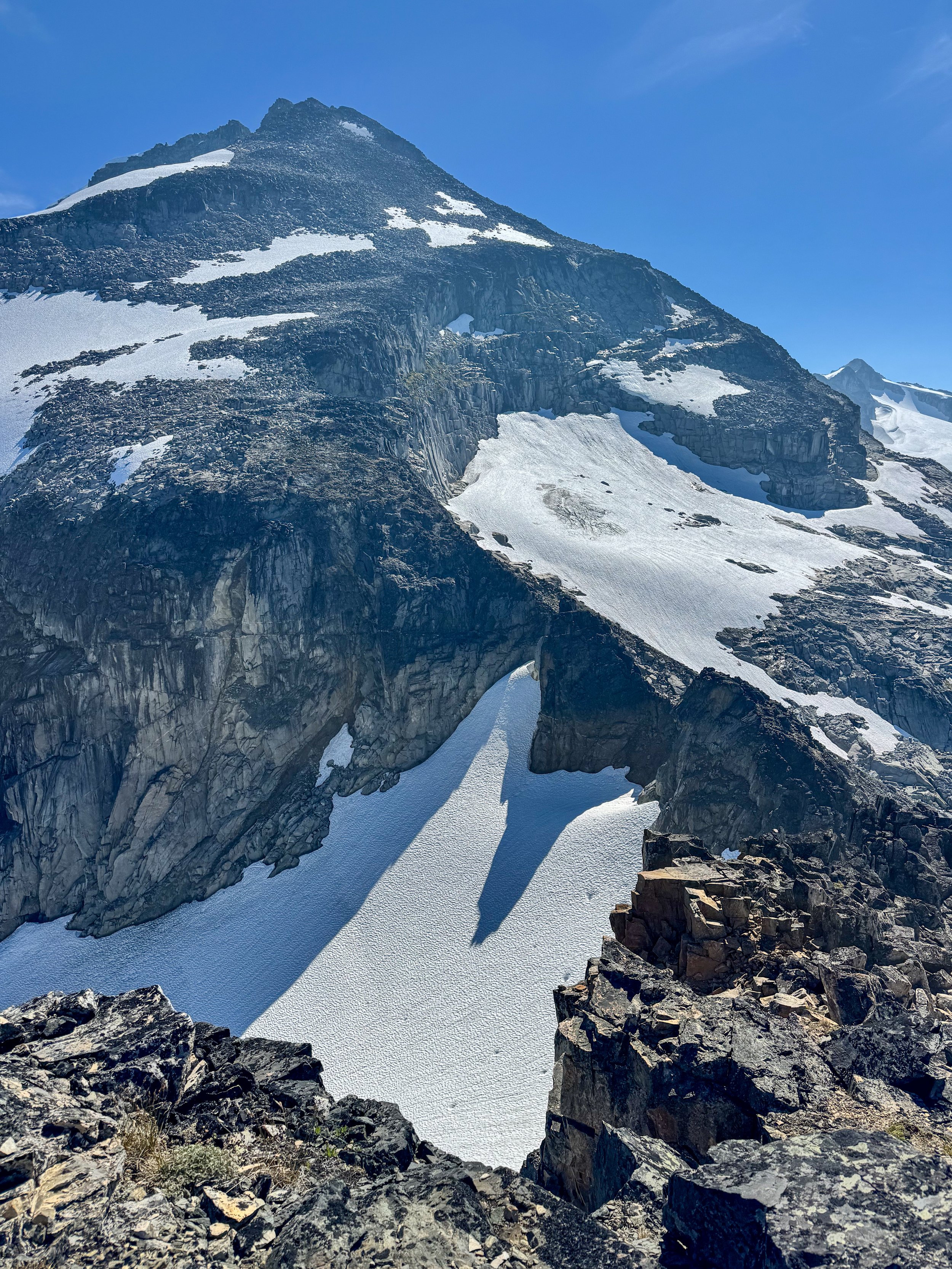
Ridgeline and the summit of Castle Towers
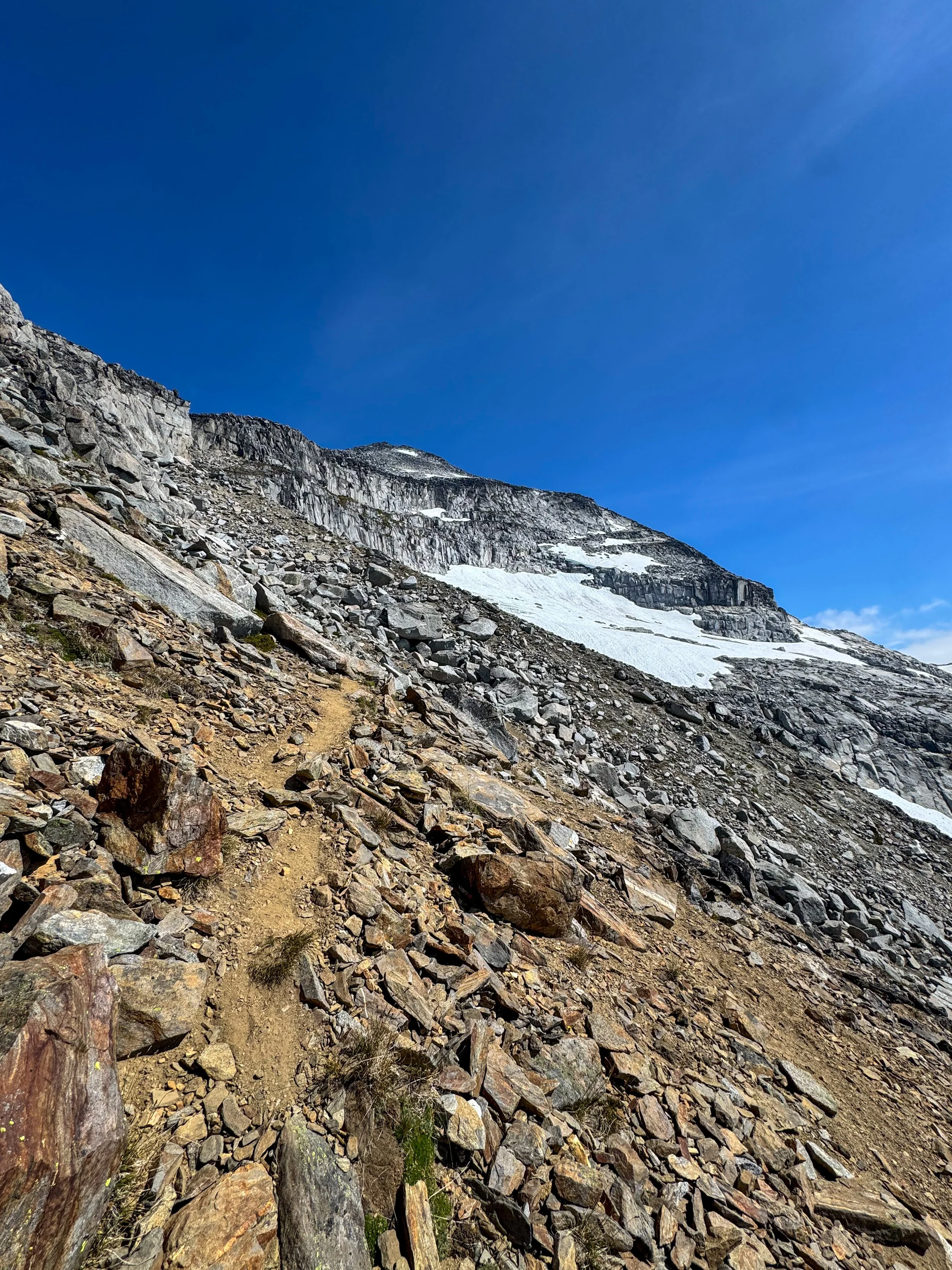
Up we go
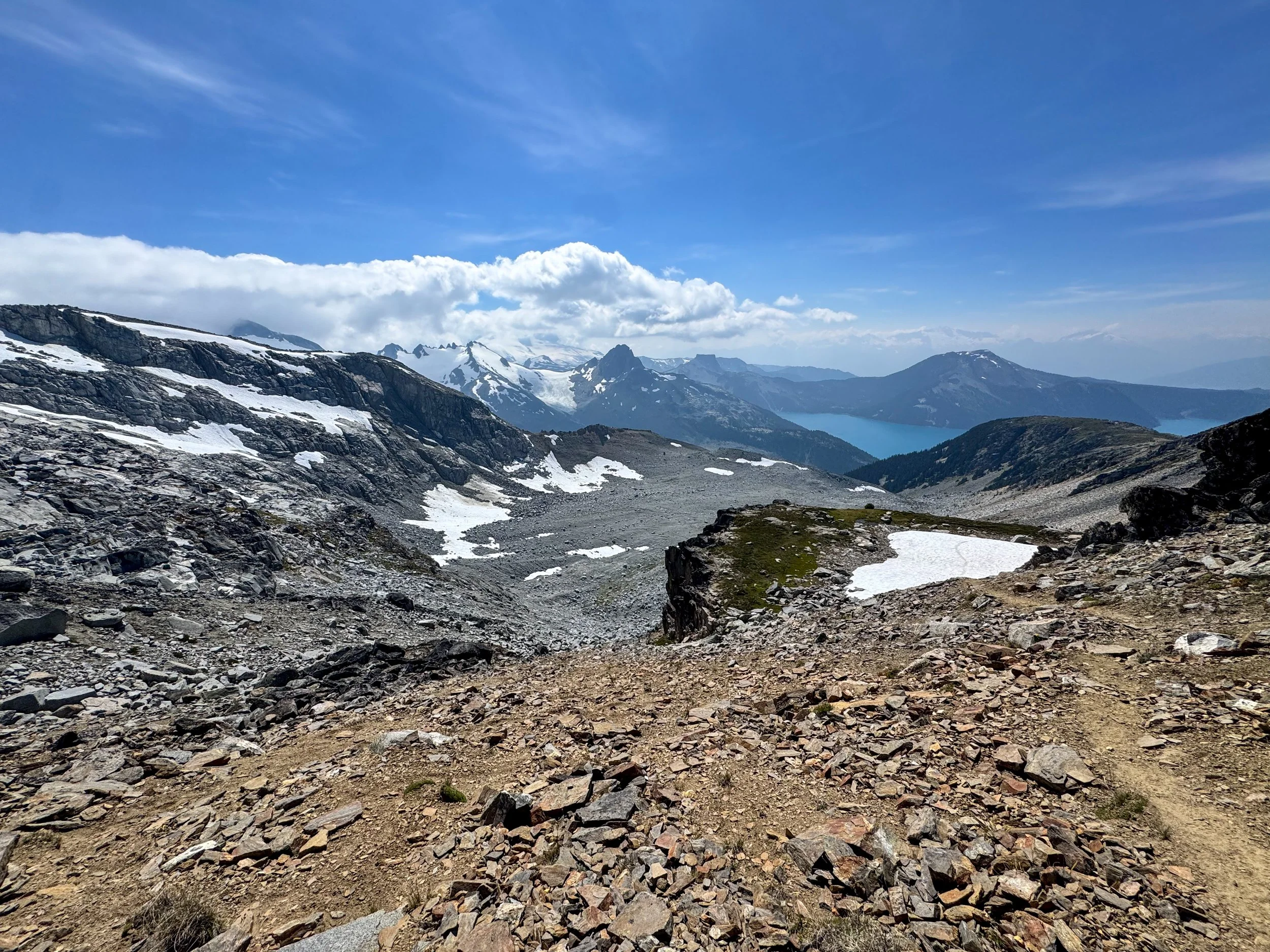
Oh yea
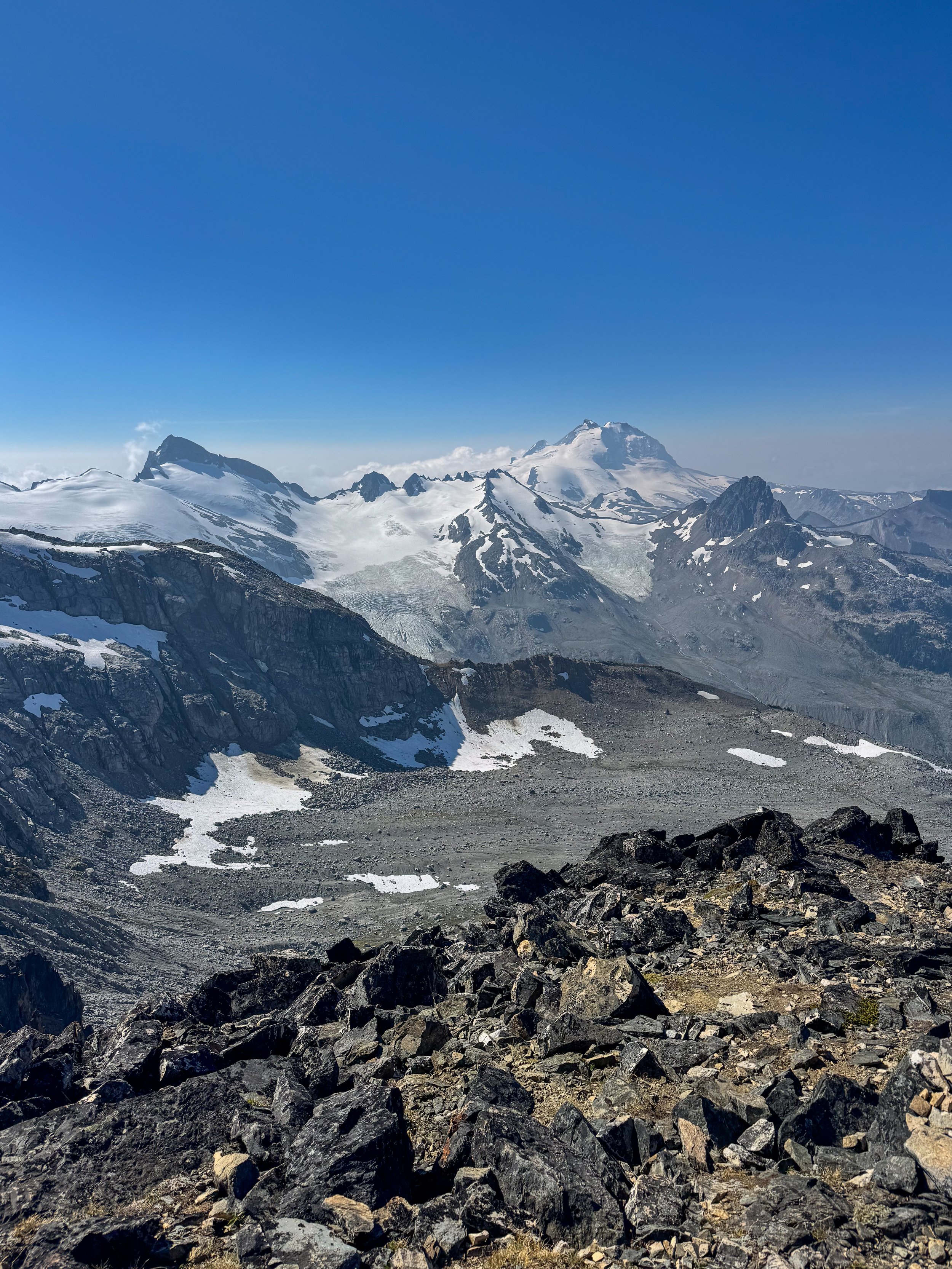
Holy
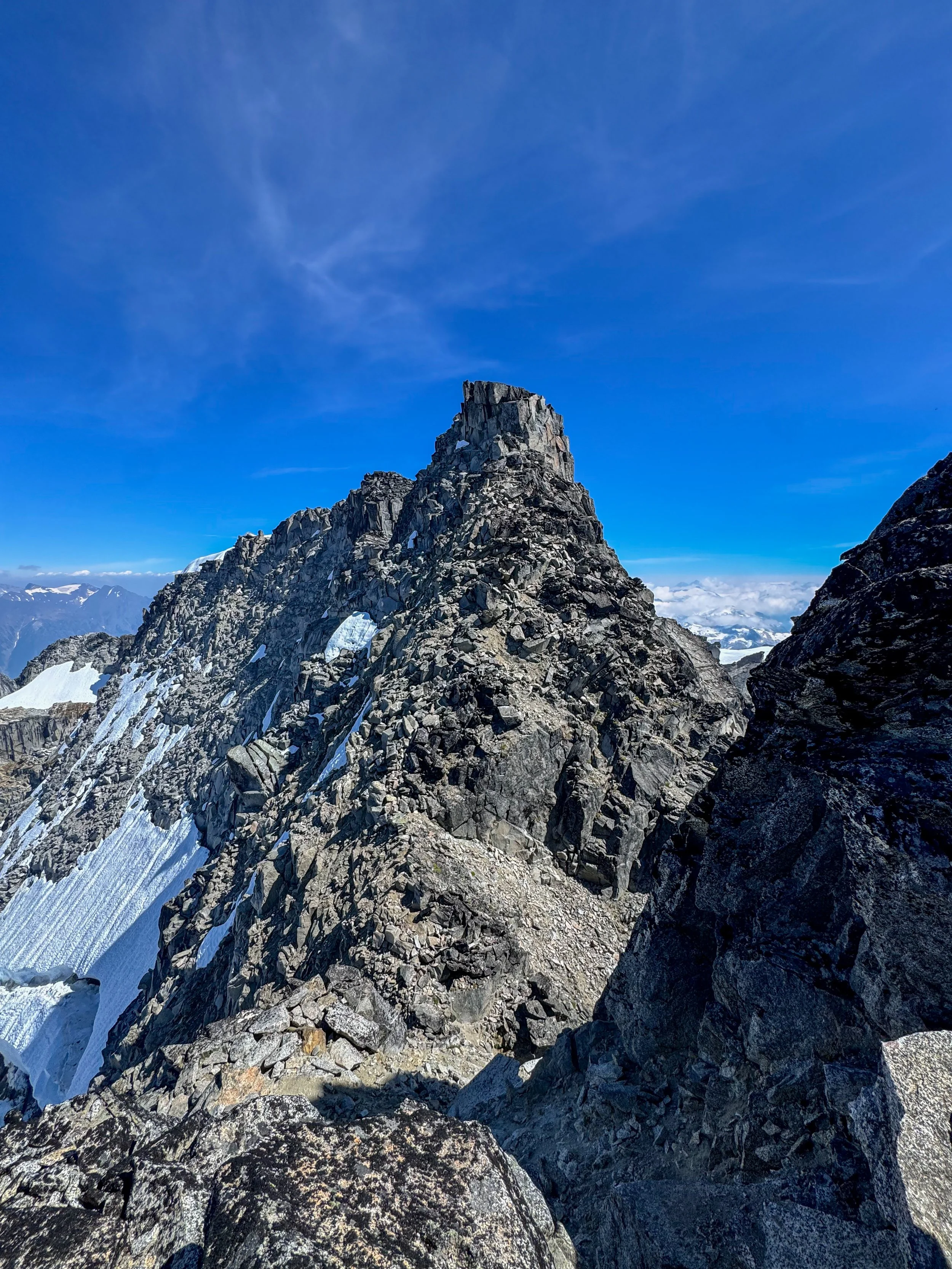
True summit
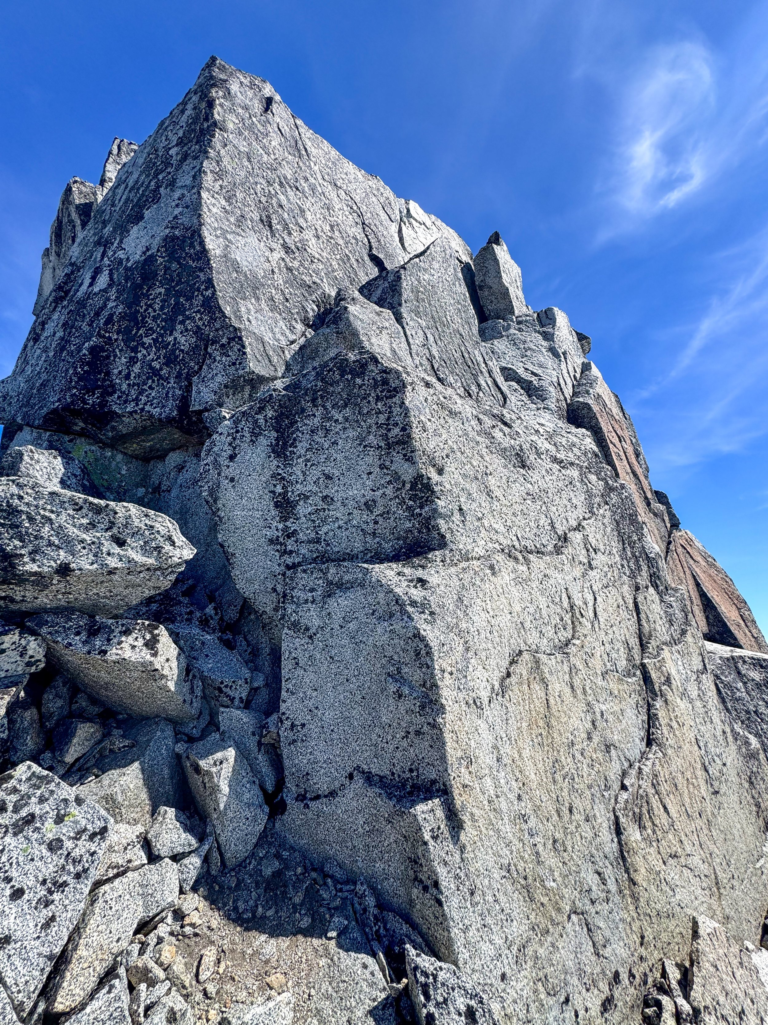
Crux of the climb
First, I descended a steep chute with moderate exposure, then traversed a flat notch to the summit block. I finally dropped my poles here, as I wanted both hands for this section. About 30' below the summit, I reached the crux, where I climbed a few massive rock shelves with a ton of exposure. The holds were great, and I consider this section low Class 4. From there I walked along some flat slabs to the summit.
The summit views were unreal; the backside of Castle Towers and the nearby mountains are heavily glaciated and rugged—one of the best summit views of my life. Looking across the glacier all the way to Mount Garibaldi was awesome. At this point, I was out of water and was relying on the sun to melt snow, not great. So I kept my time up top short, put on my helmet, and began my descent. The class 4 section was fairly easy, and once past it was a simple slog down through massive boulders to Polemonium Ridge. Once there, I took a much-needed break before descending to the valley floor. There, I filled up on water before reascending to Gentian Pass and descending to the Helm Glacier. Instead of staying to the right, I stayed left of the glacier on the descent, which bypassed the awful side hilling before traversing the glacial tarns' shore and meeting back up with the Helm Glacier Trail. This is definitely the route to take. Once on the climbers trail, it was a simple 7.5-mile slog back to the car.
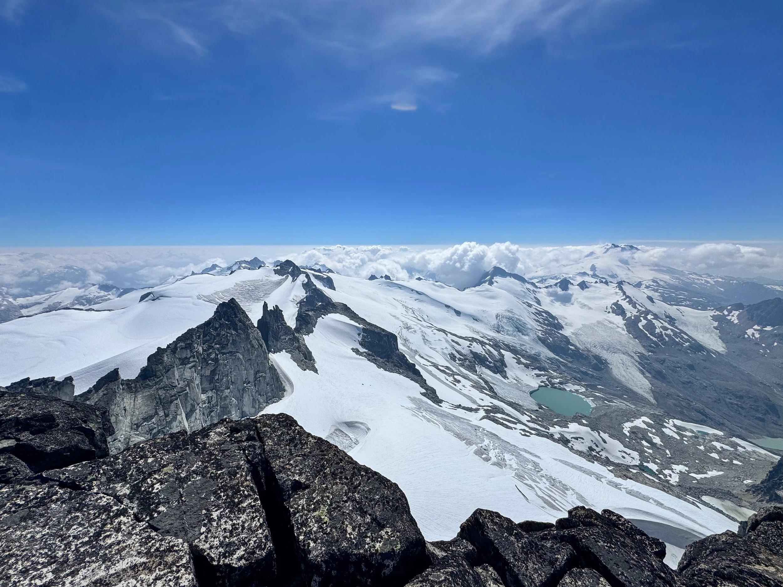
Wow
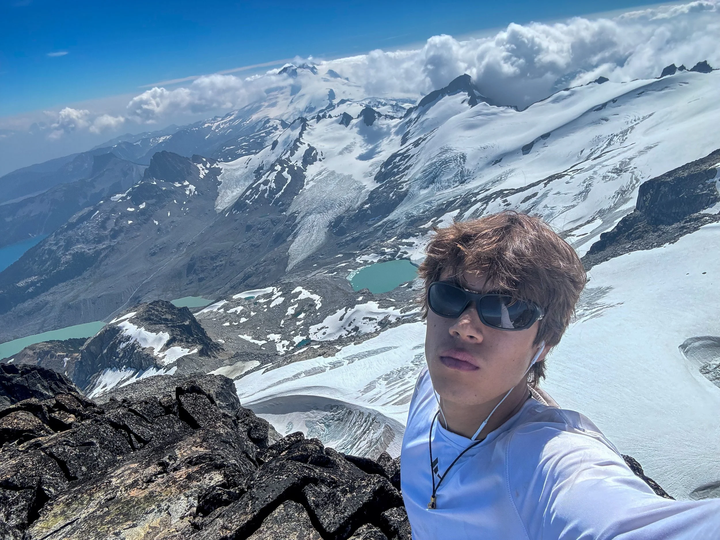
Boom
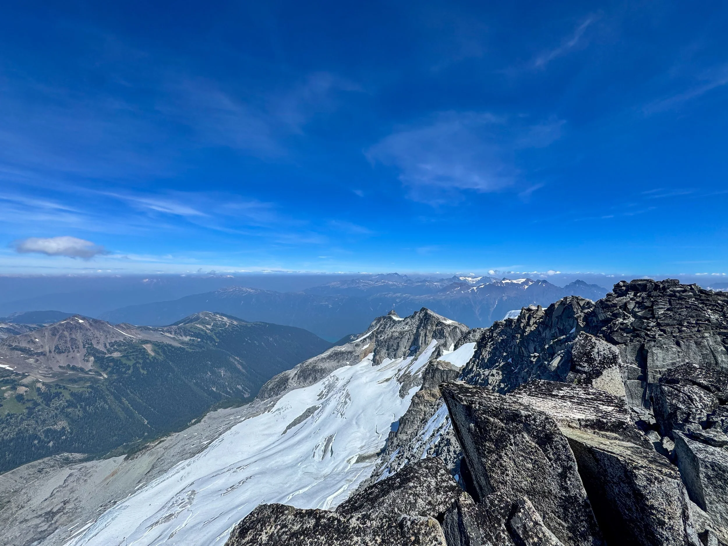
Just sick
Overall, this is my all-time favorite snow-free climb (I walked across a few minor snow patches, but I could've avoided them). The sheer amount of different biomes I traveled through was unreal, and the summit views were jaw-dropping. The climb is fairly basic, and besides the one class 4 move, nothing exceeds low-level class 3. An awesome way to close out my time in Whistler, and my toughest C2C trip to date. As always, Happy Hiking and Stay Safe.
Final Stats: 23 Miles - 8,800’ Gain - 13:40 C2C
