Golden Hinde BC - Van Island
8/13/26
Golden Hinde is the high point of Vancouver Island as it sits at a modest 7208'. That said, don't let its lackluster elevation fool you; this is one of the toughest multi-day trips in the entirety of the PNW. The standard route is via Phillips Ridge and is a 36-mile out-and-back trail with over 14,500' of elevation gain. Ridiculous; to my knowledge, there is not a mountain in Washington that forces one to gain that many feet via the easiest route.
After putting this one on the back burner for a few years, I finally pulled the trigger as I had 4 days off work, and the weather was projected to be perfect for my planned summit day of Monday. Joining me on the journey would be my buddy Thomas, who I've done Glacier Peak and Mount Stuart with this summer. We planned on spending 3 nights and 4 days in the heart of Strathcona Provincial Park, leaving early Sunday morning and getting back Wednesday night.
Sunday: After a few measly hours of sleep, our alarms went off, and we quickly made our way across the border to the Tsawwassen Terminal south of Vancouver. We caught the ferry at 5 am and crossed the Salish Sea over to Nanaimo. Once on the island, we made our way north to Campbell River before turning southwest, inland, and into the heart of the wilderness. After heading through a mine, we arrived at the Upper Myra Falls Trailhead just before 11 am. We quickly changed and got going. The route starts by steeply ascending nearly 3000' up to Arnica Lake through a series of short switchbacks. Within 30 minutes of hiking, we ran into a mother deer and a doe along the trail, just beautiful. As we ascended, we would occasionally get greeted with peek-a-boo views of the mine far below, and the impressive Mount Myra with its glaciated summit behind us. Arnica Lake is a small green lake situated near the base of Phillips Ridge at 3,900'. There are a ton of campsites here, and it's common for people to spend their first night here. After a quick stop, we continued as we left the lake behind and ascended, heading northwest as we quickly broke out of the tree line around 4,600’. Here we got our first view of the bumpy Phillips Ridge, which stretched seemingly forever. We quickly picked our way up towards the first major bump at 5,200’, before truly gaining the ridge at 5,400’. It was here that we got the first glimpse of our objective, which towered in the distance. It reminded me of the Lonely Mountain, unreachable. The entirety of the Island was now visible, with peaks sprawling in every direction.
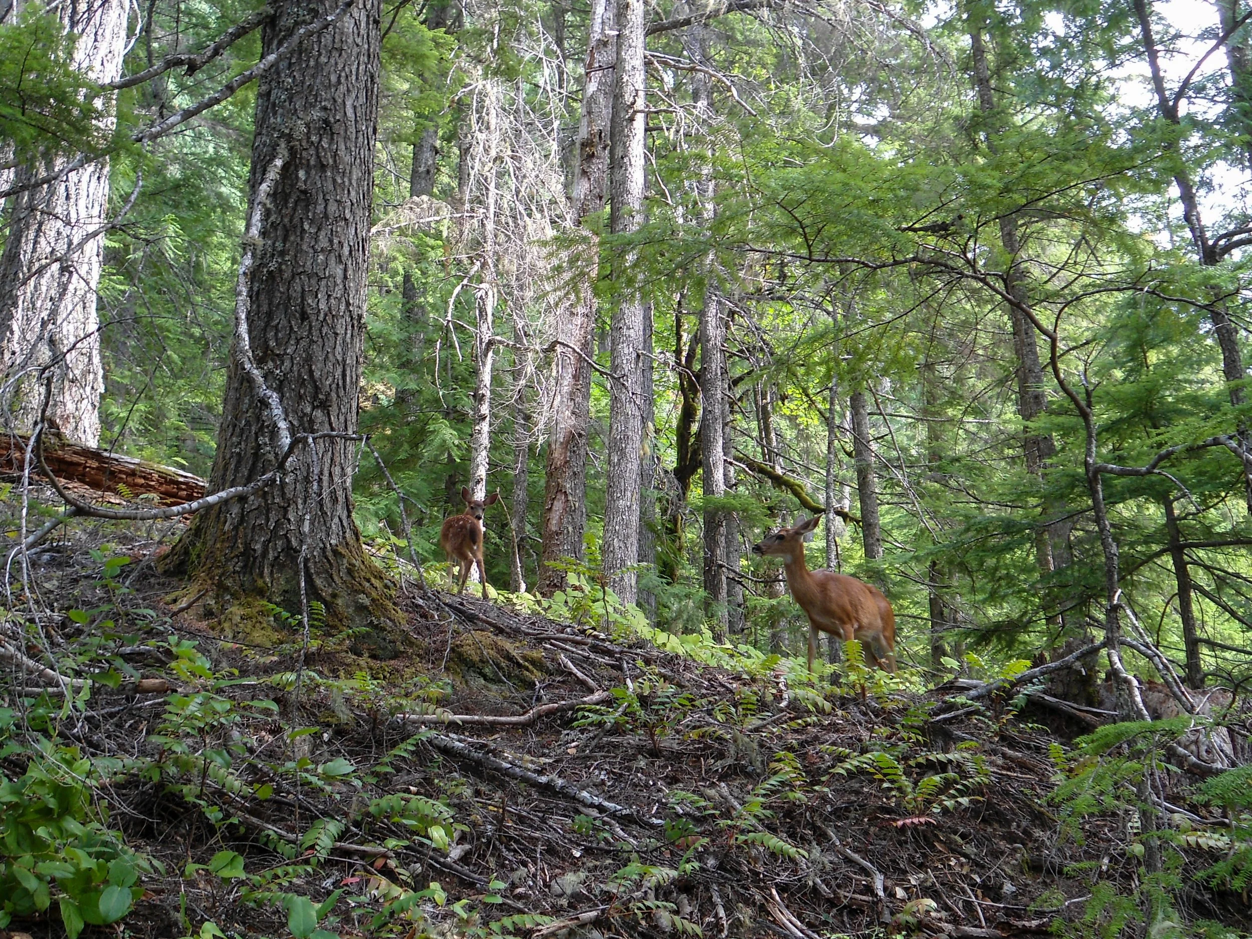
Deer
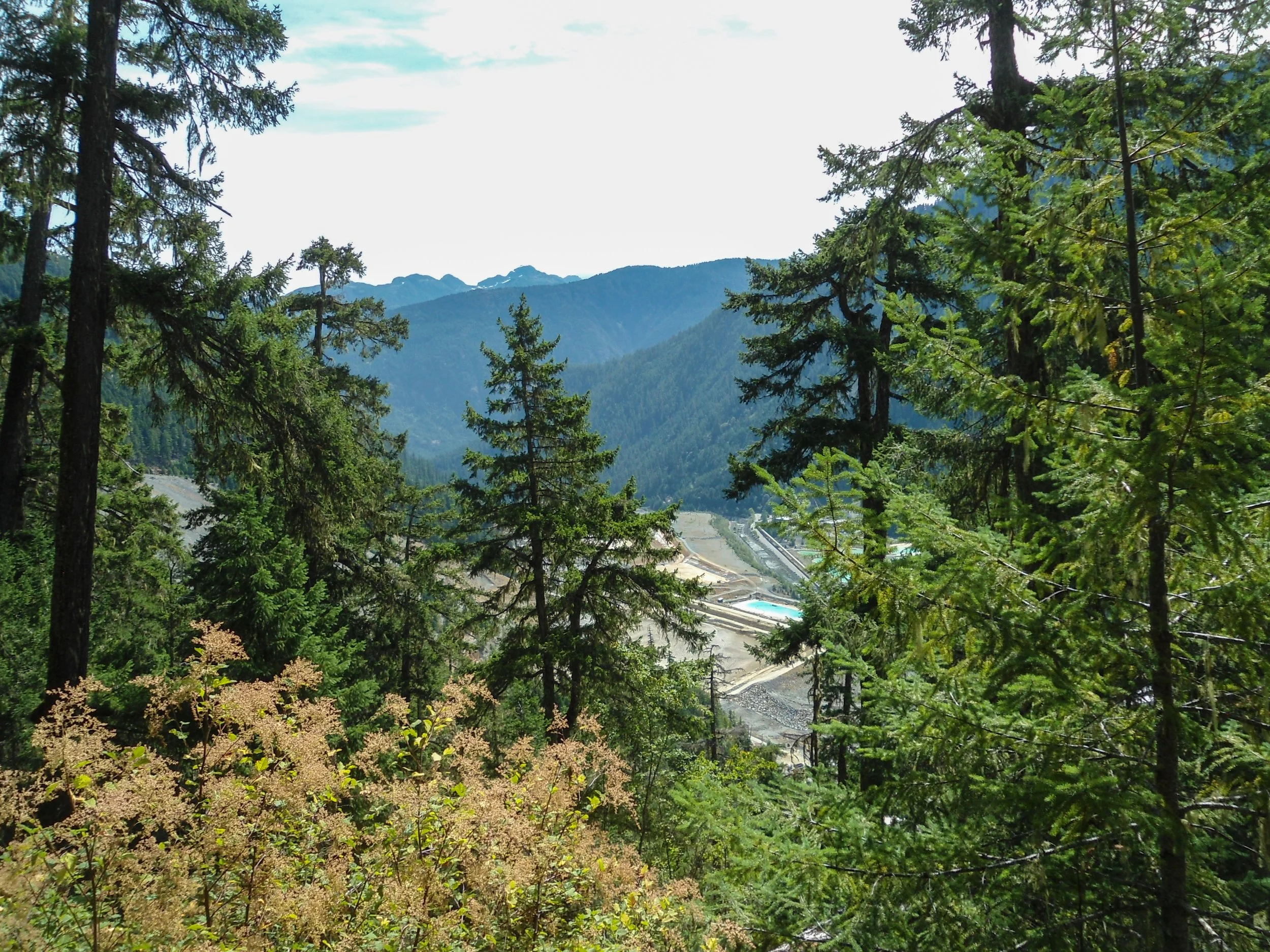
Looking down upon the mine
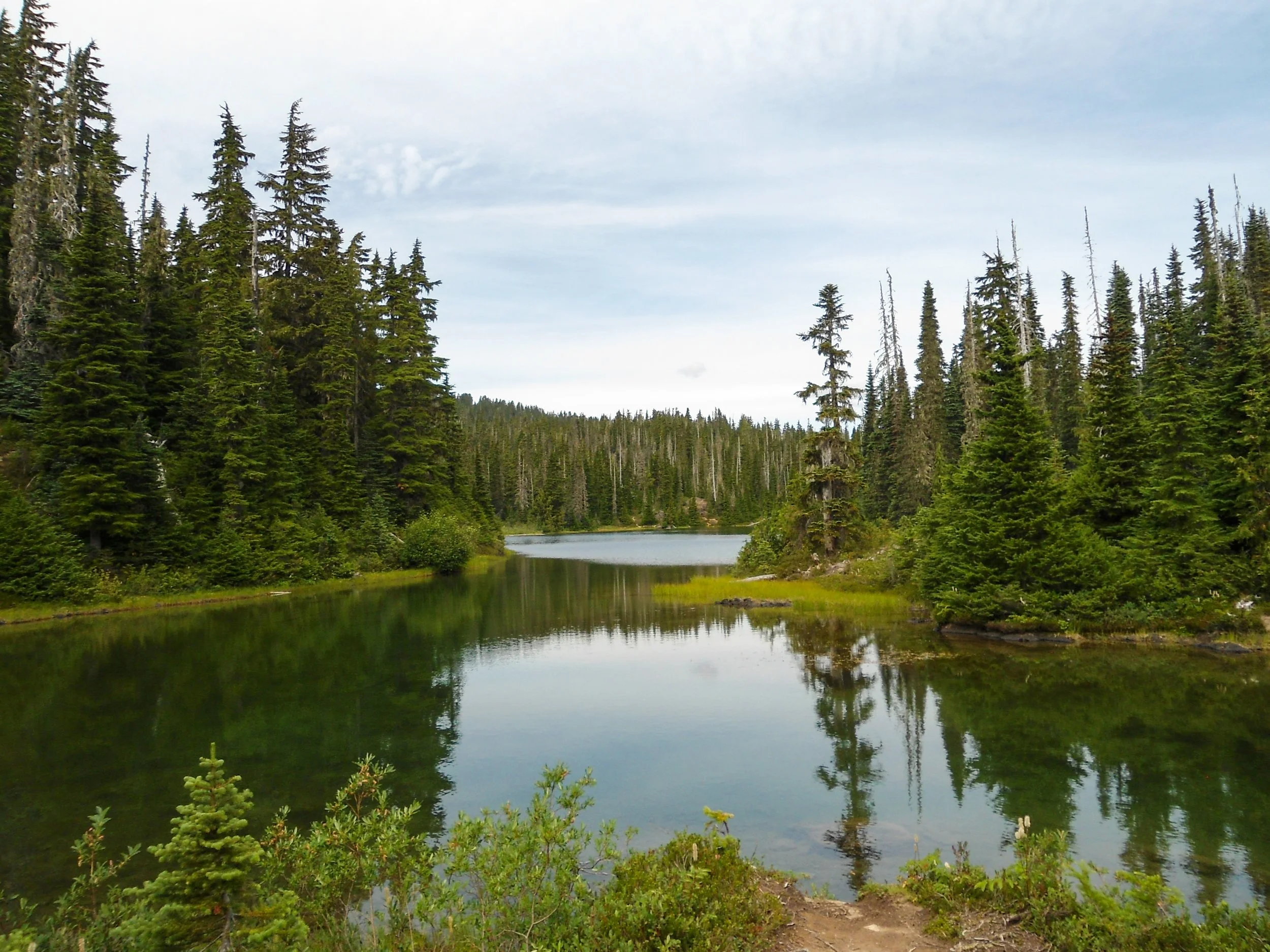
Arnica Lake
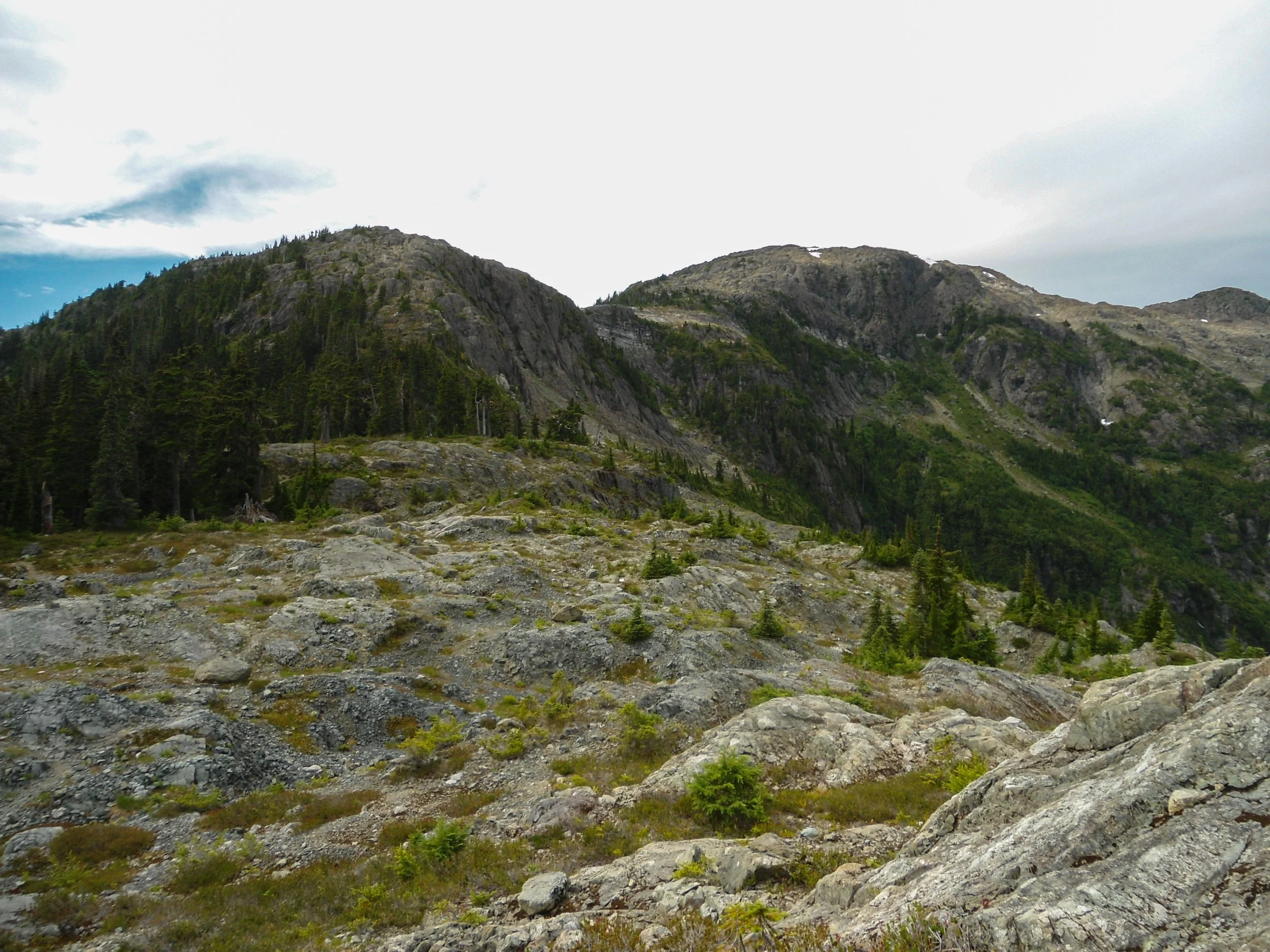
The bumpy ridgeline of Phillips Ridge
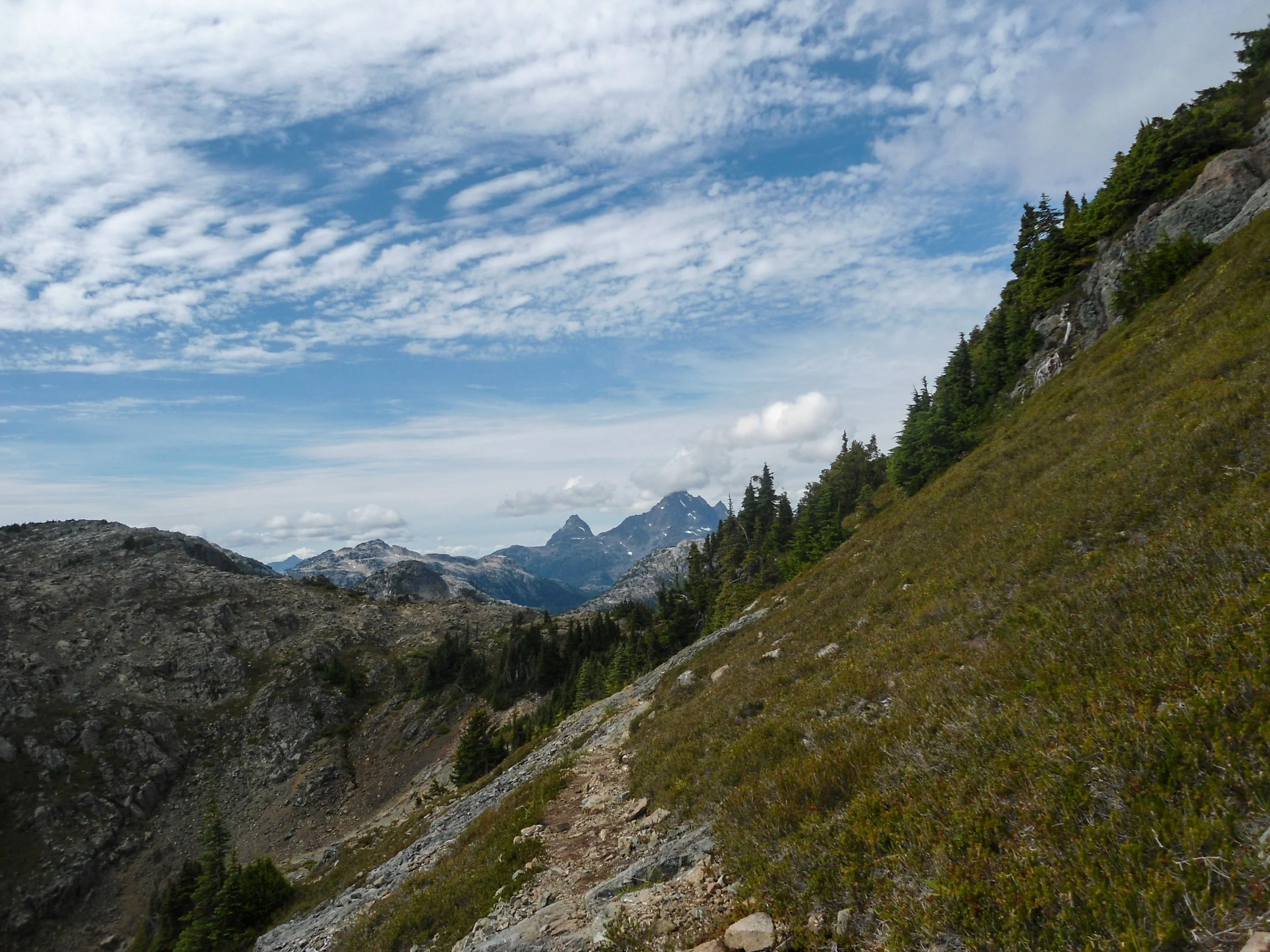
Far far away lies the Golden Hinde
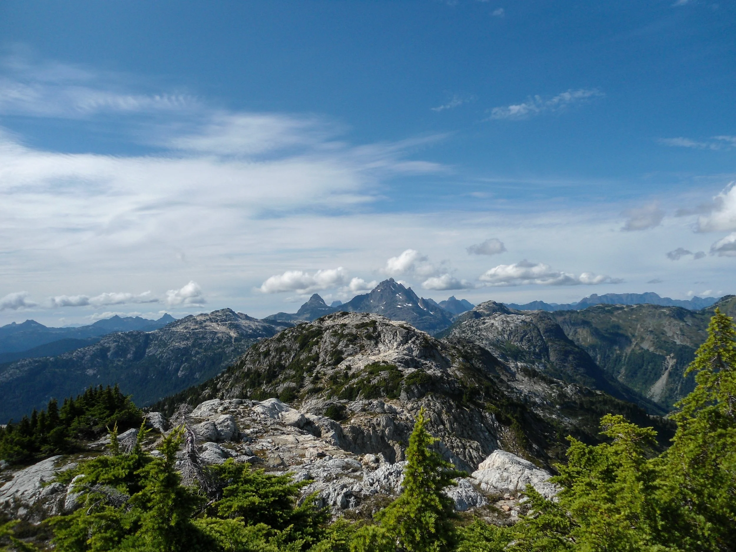
Not getting a whole lot closer
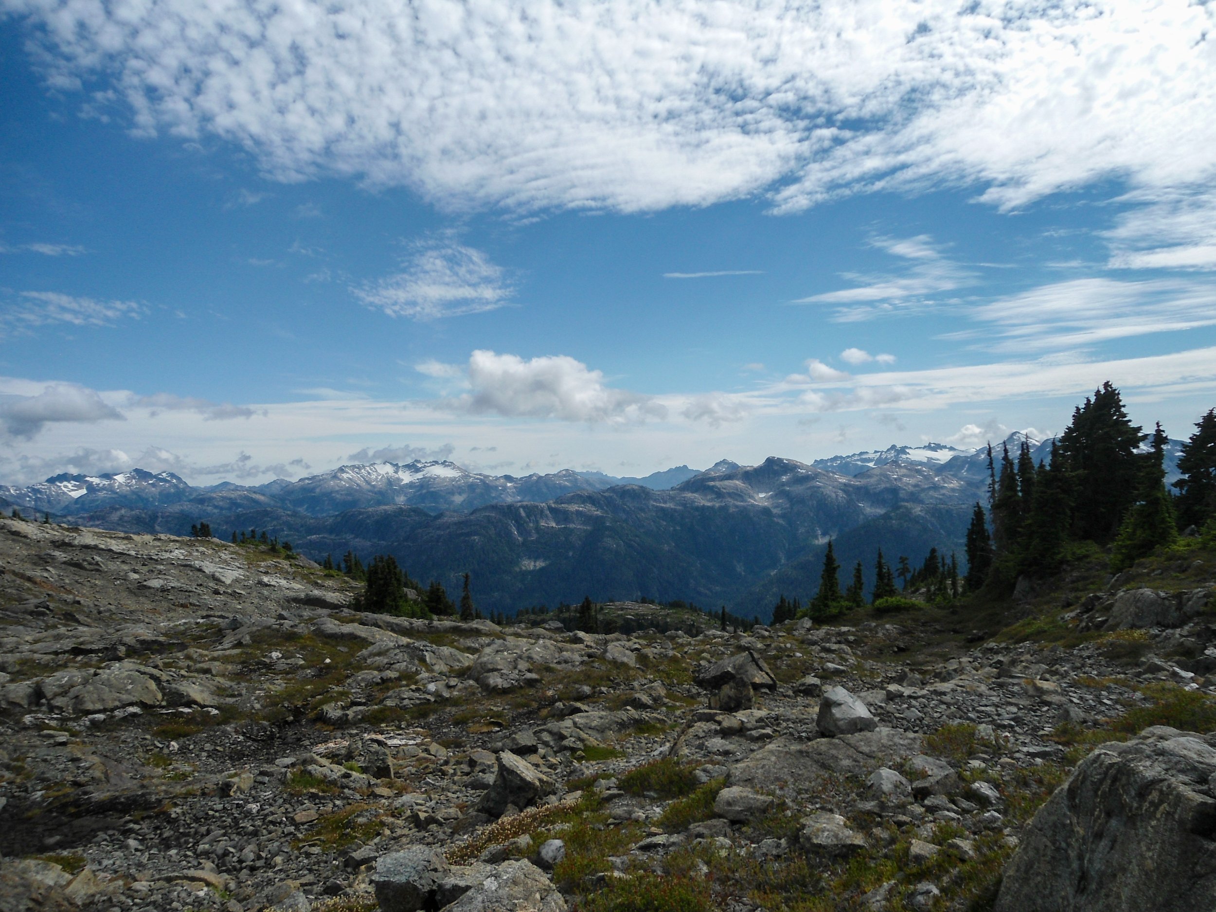
Just so cool how glaciated some of these sub-6000’ peaks are
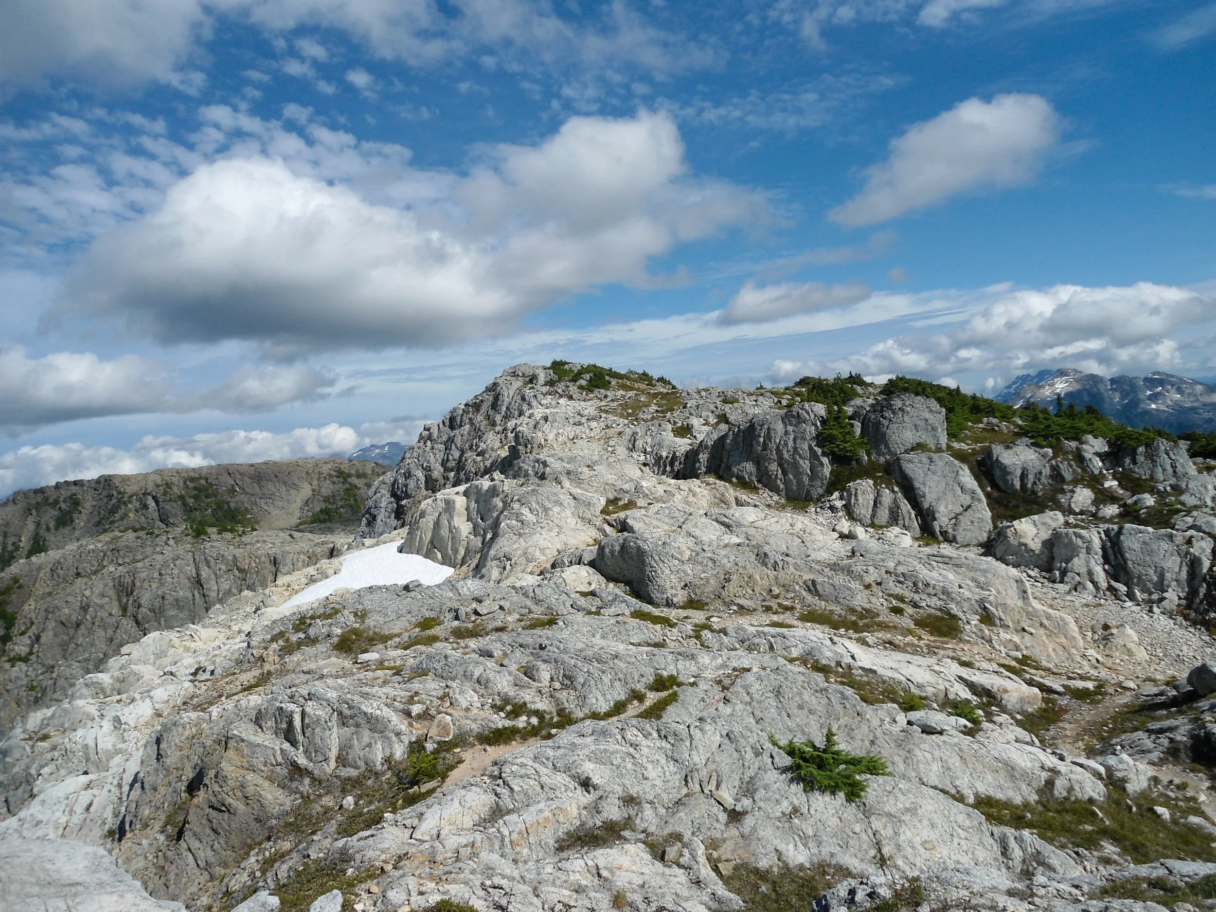
Looking back at the peak of Phillips Ridge
No peak caught our attention quite like Marinier Peak, whose low elevation and massive glacier was truly a sight to behold. After enjoying the scenery, we continued our trek along the ridgeline, moving along bump after bump before reaching the peak of Phillips Ridge at 5,600’. This section was unbelievably tedious, as the constant steep up-and-downs through rugged, rocky terrain made progress hard to come by and inefficient. Once past the ridge peak, we began to slowly descend through another series of ridgeline bumps down to the only running water source along the ridgeline at 5,200’. This slightly raised our spirits, as my filter had been malfunctioning, making collecting water a slight issue. From here we ascended one final time before beginning our steep descent down to Carter Lake and our camp spot. At 4,500’ we left the rocky ridgeline behind and descended back into the tree zone; the trail really began to deteriorate and steepen here as the route headed straight down. At 3,700’ we reached the lowest point and made the steep ascent of 400’ to the south shore of Carter Lake.
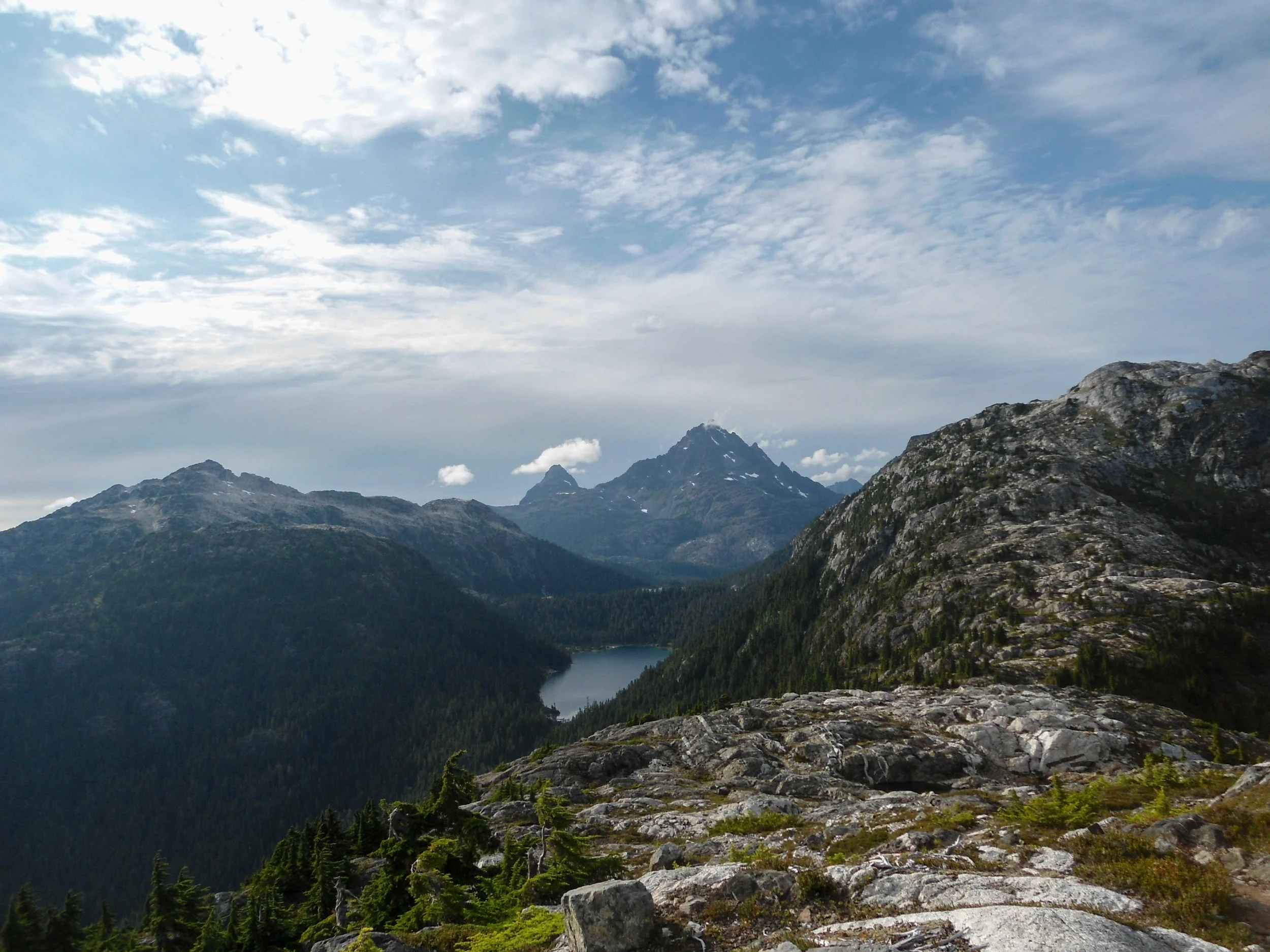
Carter Lake and our camp spot now visible 11 miles in
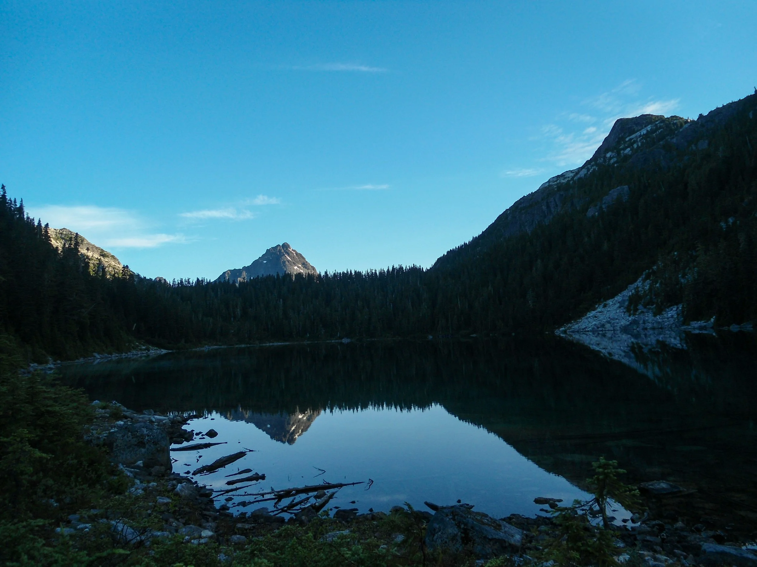
What a reflection
Our Stats for the day: 12.5 Miles – 5,700’ Gain – 2,700’ Loss – 8:30 Car to Camp
We arrived at camp exhausted just before 7:30. During the descent, Thomas made it known that he would be unable to attempt the summit the next day due to a sore knee that had been bothering him, meaning I would have to go solo. After making camp and food, we walked out onto the lake while balancing on a log dam that was right on the outflow. The views from our spot were stunning as the top 1,500 of Golden Hinde were visible and reflected onto the lake, creating a picturesque scene. After a short evening, we crawled into our tents and got some well-deserved sleep.
Monday – Summit Day: My alarm woke me at 5:30, and I promptly pushed it back an hour. After a quick breakfast, I was up and moving just after 7 am. The summit route starts by traversing Carter and Schjelderup Lakes. Seems easy enough. Unfortunately, the trail continued with its trend of being unmaintained as I fought my way through trees and brush. After about an hour of this, I found myself on the north end of Schjelderup Lake and looking up at Burman Pass to my west. After another quick snack, I flew 1000’ feet up to Burman Pass (5,000’), passing two groups going for the Golden Hinde. This was key, as I didn’t bring a helmet and my main concern was rockfall from others. The Hinde towered above, and I was able to pick out the route up to the climber’s tarn. Once on the pass, I immediately descended towards the massive Burman Lake. This was easily the most discouraging part, as I descended nearly 1,300’ all the way down to 3,700’ before promptly reascending. The climb to the tarn was grueling as I reclimbed through the treeline up to 5,000’, but at this point it was only up to the summit, which lifted my spirits. The climbers tarn is a heart-shaped, light blue pool that sits at the foot of the Golden Hinde scree field; this is the last water source along the route. From the tarn, I headed straight up the scree field before hanging a right onto an obvious notch at 5,700’. I then found myself in similar terrain to Philips Ridge (massive flat boulders and sparse grass) as I flew up to 6,000’. It was at this point I had a lapse in judgment. Instead of taking the standard route, which stayed to the right and ascended a scree field, I stayed left and ascended a gully to bypass the loose rock. I soon found myself scrambling some tough class 4 section all the way up to 6,600. I then descended a steep chute before reascending a rock shelf back onto route; there was no reason to do this. Once on route, I continued upwards through more scree and steep, compact dirt all the way to 7,000’. From there it was a simple boulder hop to the summit. The views from the Golden Hinde were unreal, and I had service! Every major peak was visible, and it seemed nearly the whole Island was as well. The vastness of Vancouver Island is truly jaw-dropping. Carter Lake looked a world away.
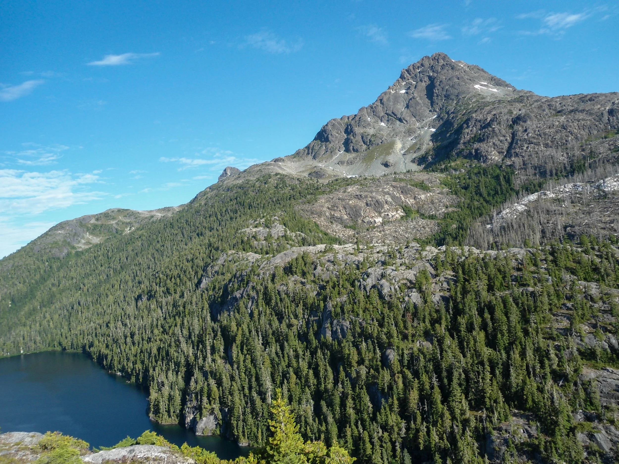
View before dropping off Burman Ridge
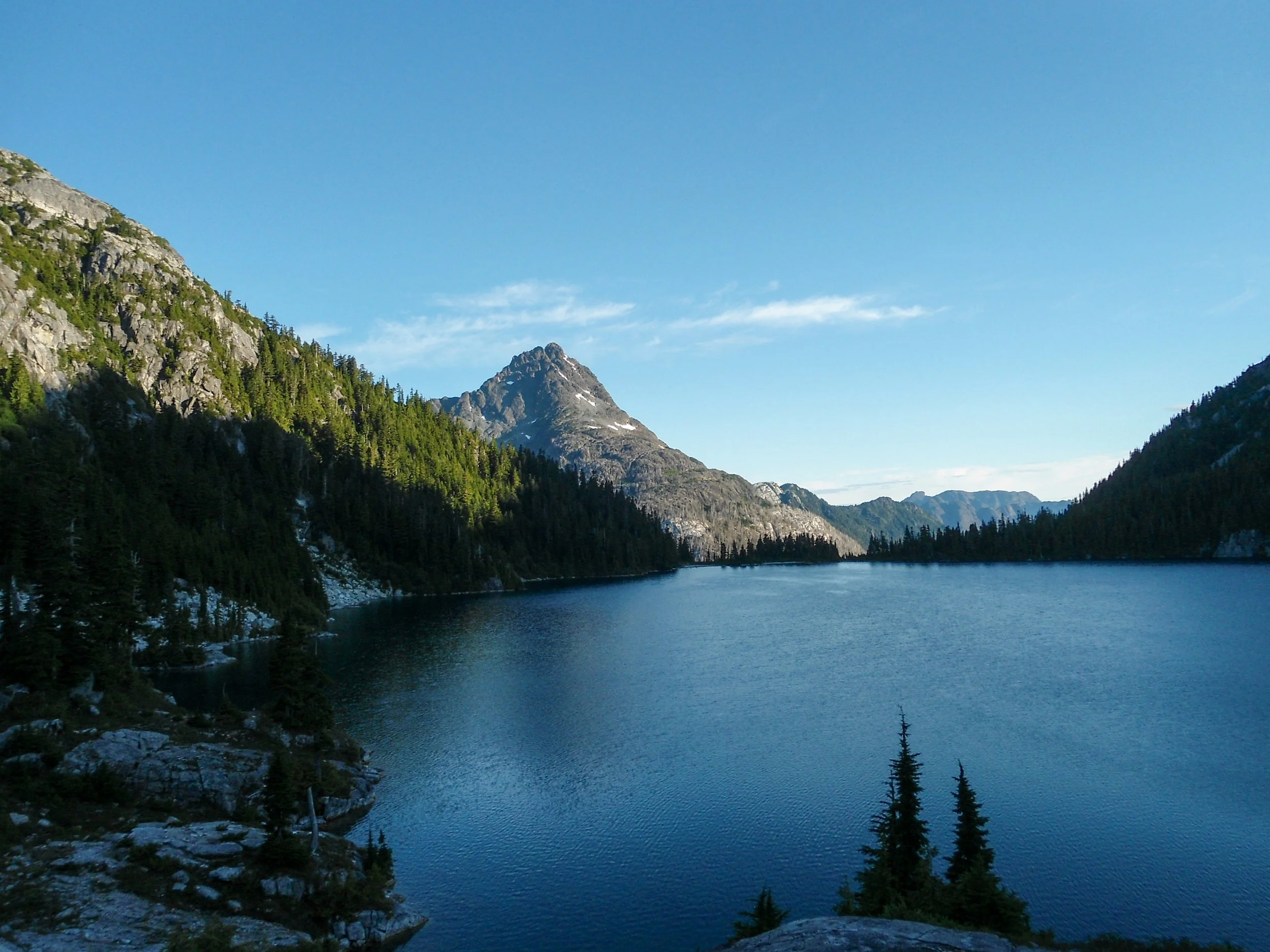
Traversing Schjelderup Lake
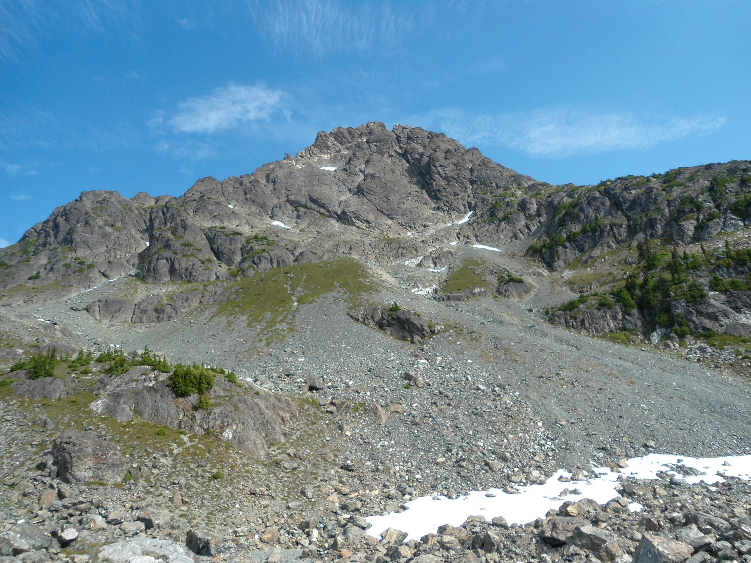
Looking up
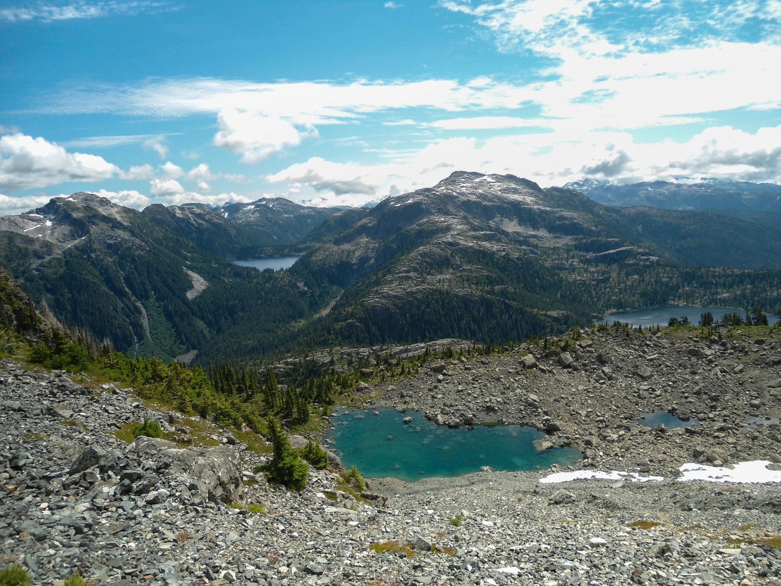
Shot of the tarn and Burman Lake
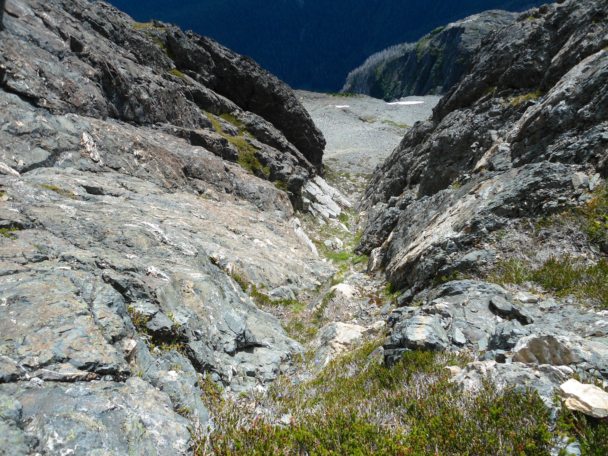
Looing up at endless scree
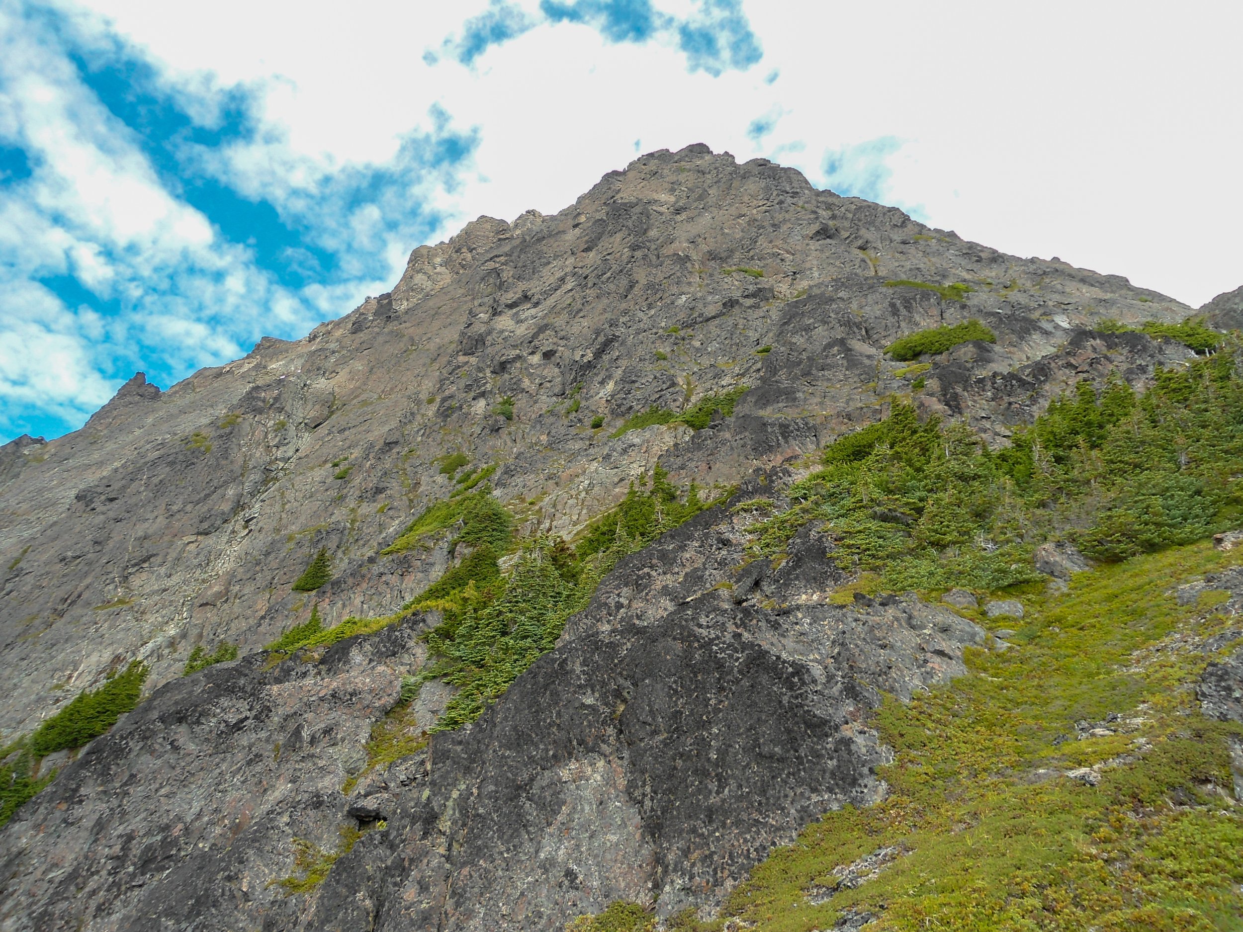
Higher I go
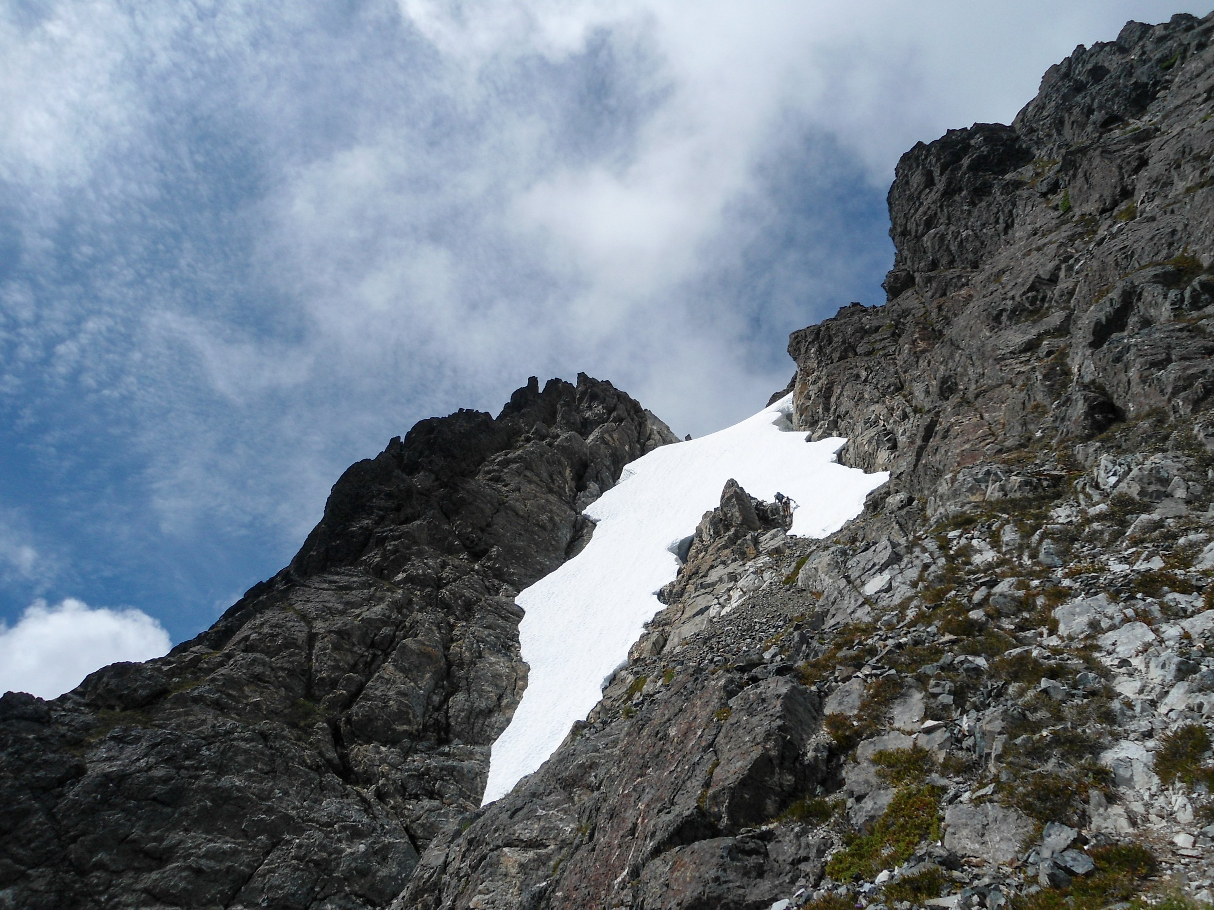
Stay to the right of this snow finger
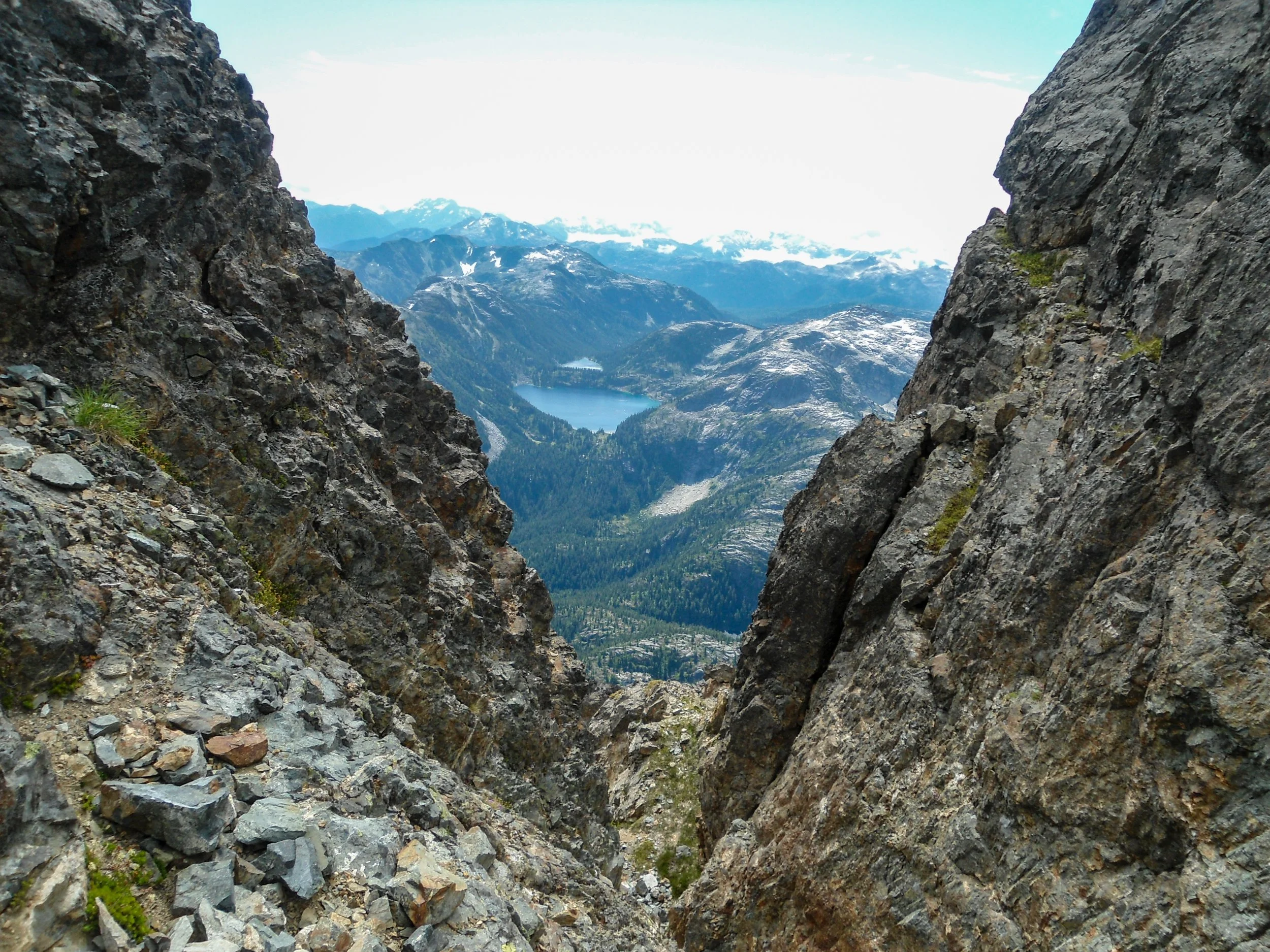
This was steep
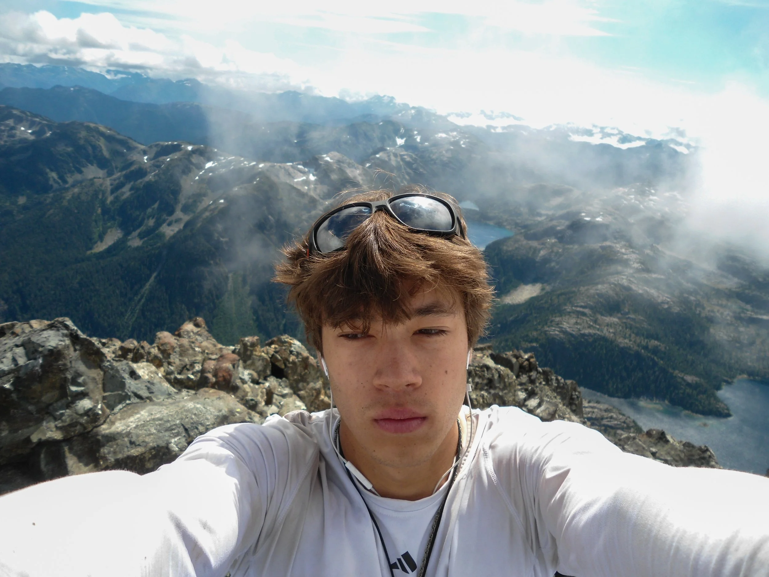
Made it!
After a short time up top, it was time to descend to safety. Getting down to 6,600’ came without trouble. The only tough section was descending a chute, as I had to make a few low class 4 moves. Once past, it was smooth sailing all the way back to the tarn. There is a snow finger at 6,600. The standard route stays to its right; this is the side I’d recommend taking. The only other party I saw on the mountain decided to take the snow, which seemed awfully steep, and didn’t stay long enough to see if they bailed on going that way. For reference, the class 4 chute I took on the ascent stayed left of the snow finger. Once at the tarn, I took a deep breath and had a relaxing lunch, and a less relaxing swim. It took me just under 4 hours to get from the tarn to camp, and there was little more to note than that it was a slog.
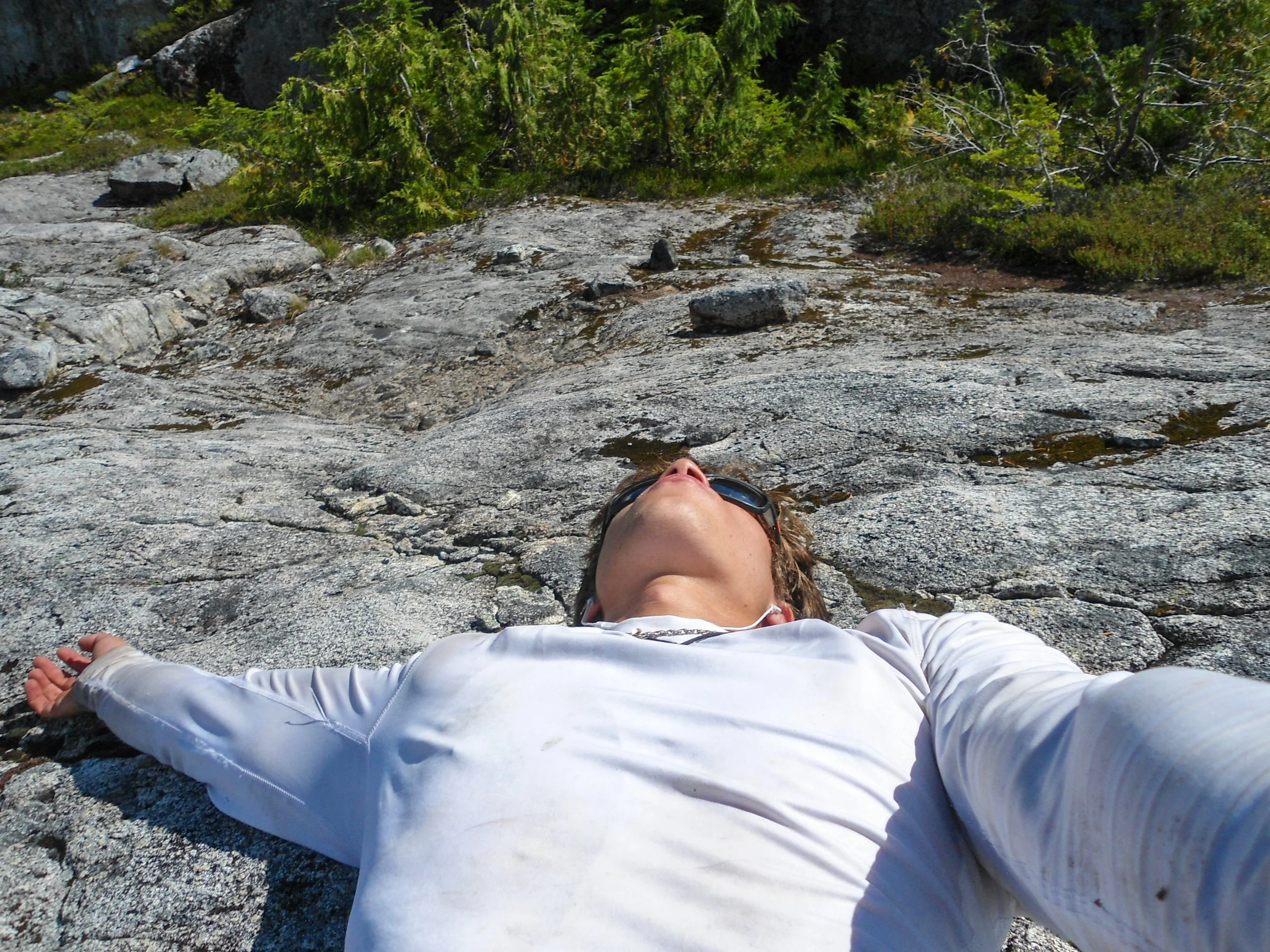
Back on the ridge, tired
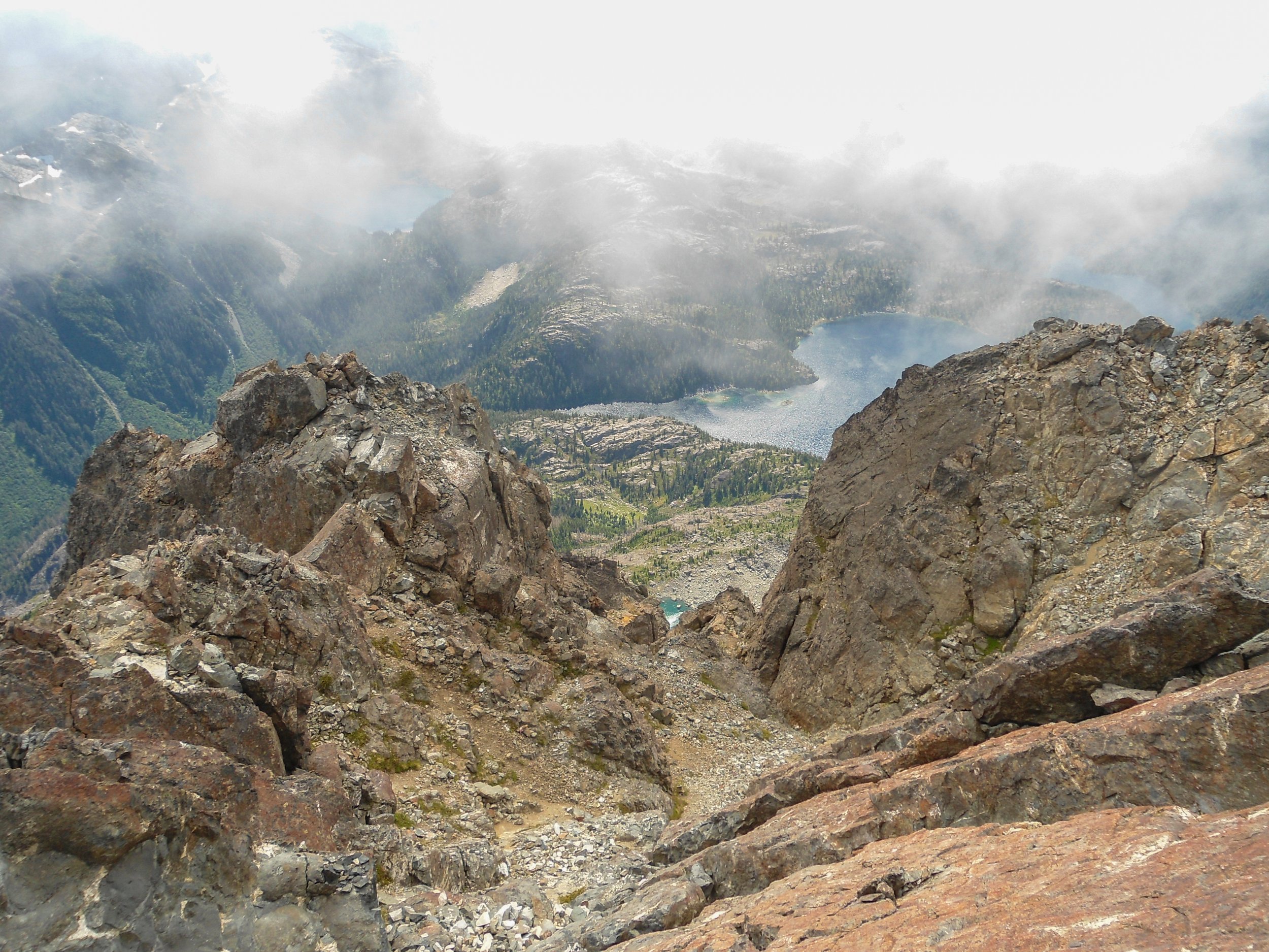
Looking down the standard route
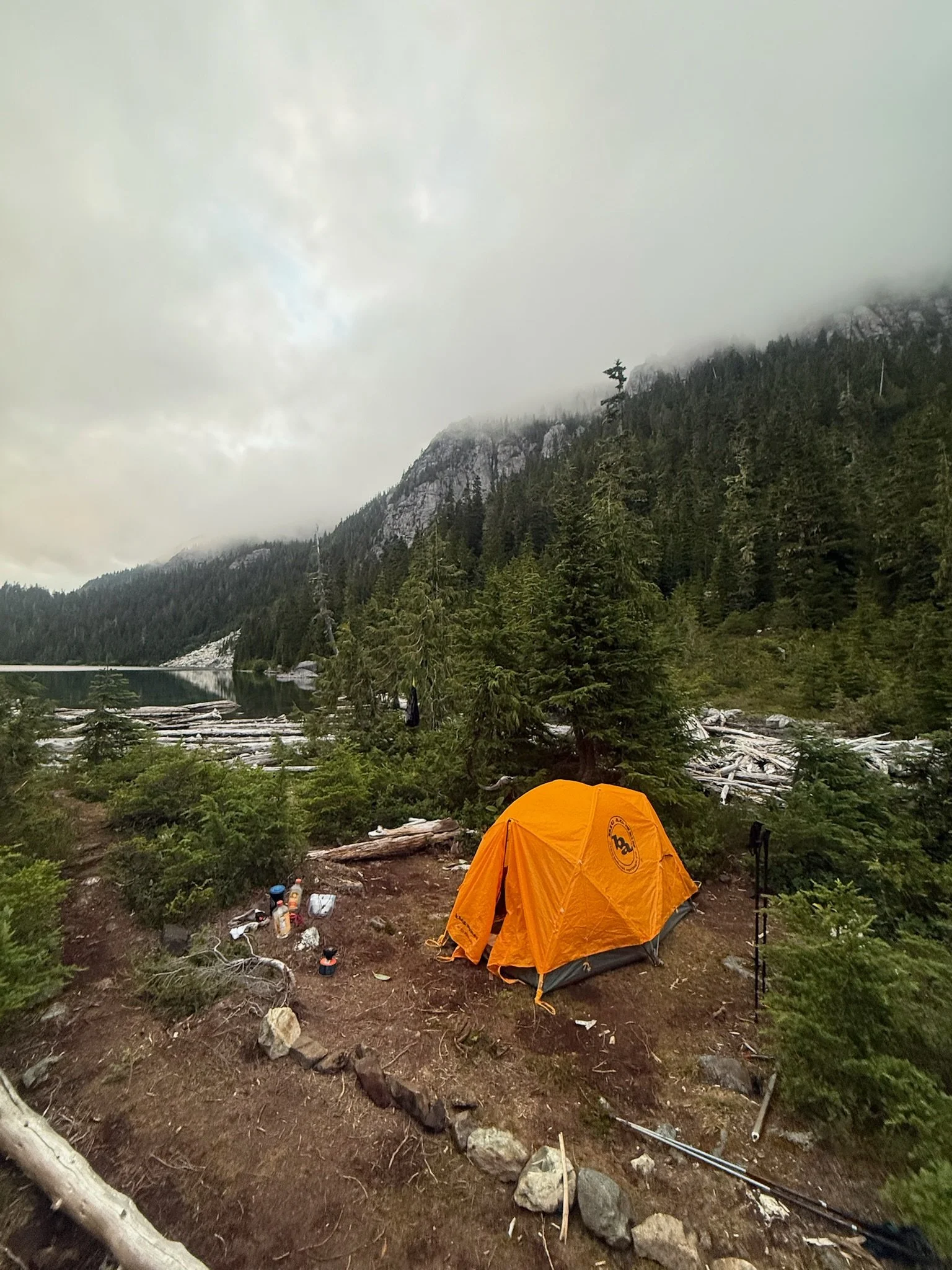
Back at camp
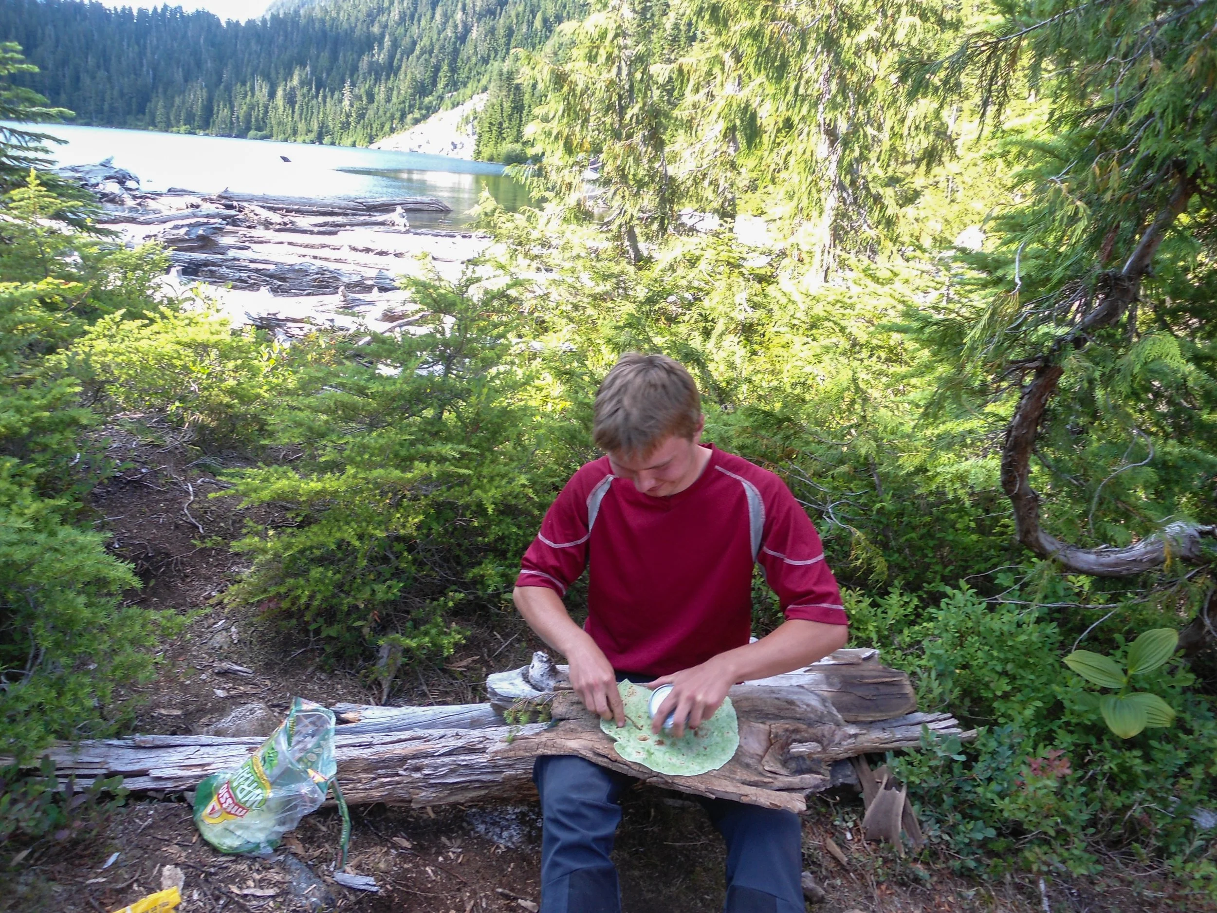
Lil meal time
Day 2 Stats: 11 Miles – 6000’ Elevation Gain – 1,300’ Loss – 10:40 Camp to Camp
Thomas was back manning the camp, and after another pleasant evening, it was time to sleep after a long day.
Tuesday: After finally being able to sleep in, we packed up camp and got onto the trail just before 11 am. Our goal was to camp at Arnica Lake, but in the back of my mind I hoped we’d make good enough time to get back to the car in a single day. The push back up to Phillips Ridge was brutal, but once on it we both had newfound energy as we made amazing time traversing the ridge and many bumps. At this point, I floated the idea of pushing back to my car, and with Thomas on board we flew down the ridgeline. Once at Arnica Lake, we took one final break before descending the final 4 miles to the car. We arrived around 5:30, only 6:40 after leaving camp.
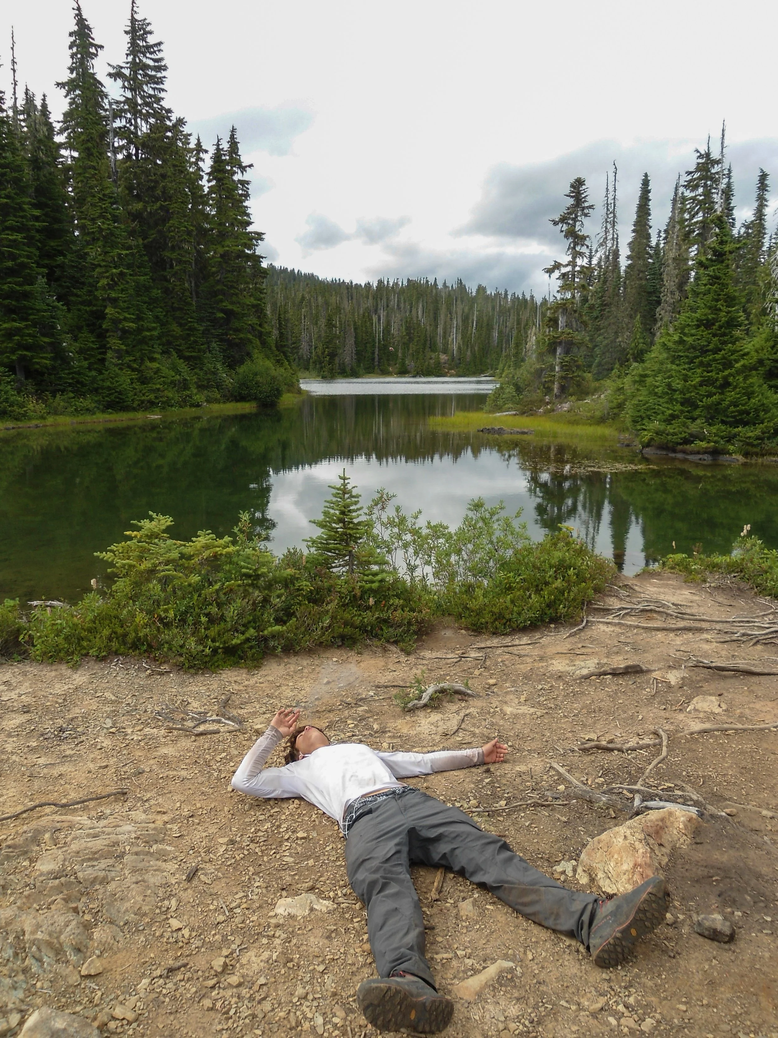
Only 4 miles to go
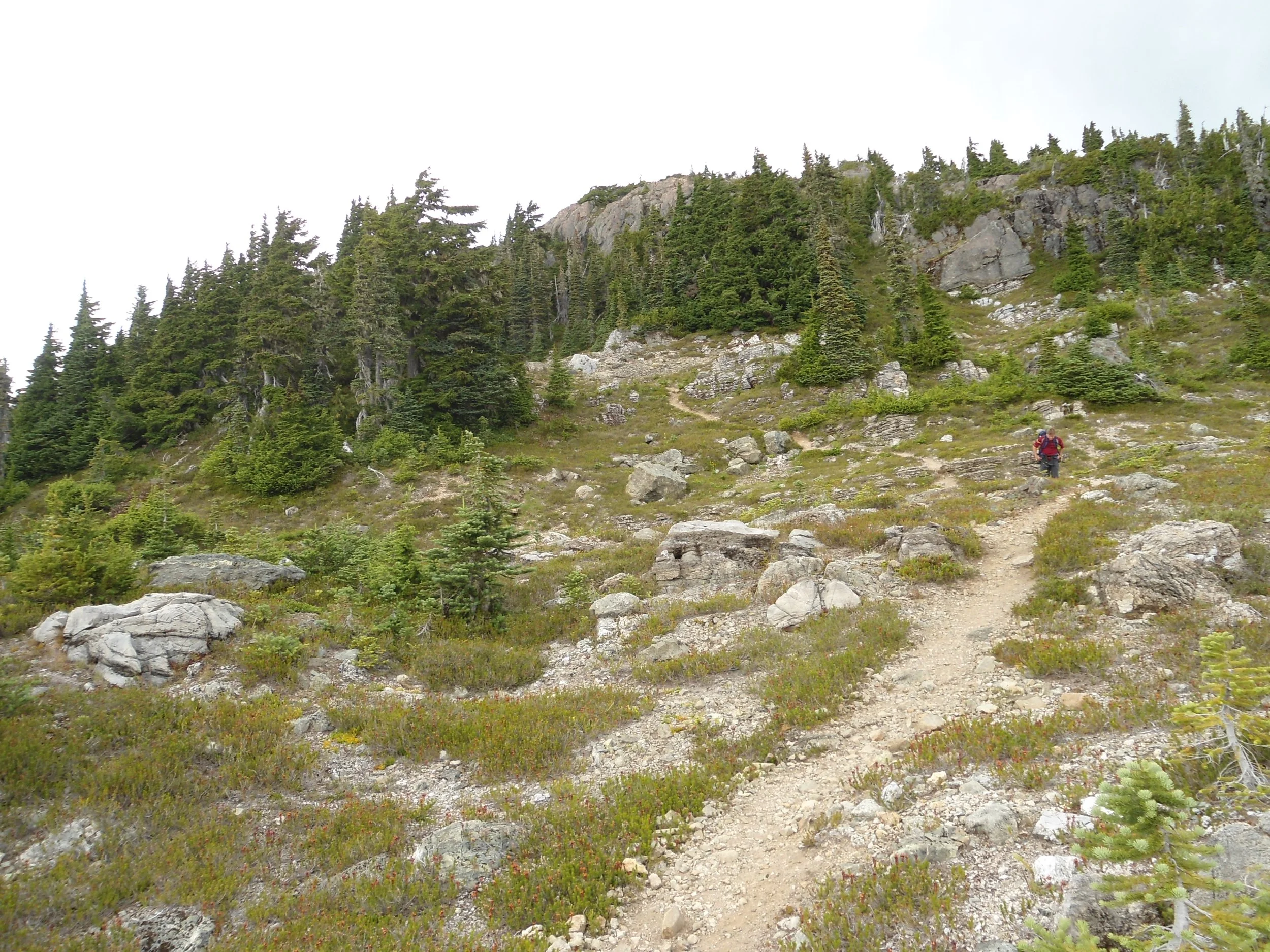
Out we go
Day 3 Stats: 12.5 Miles – 2,700’ Gain – 5,700’ Loss – 6:30 Camp to Car
The trip home was brutal as we didn’t reach Bellingham until past 2 a.m., but hey, we made it back.
Overall, there is a reason this climb is rarely done and turns a good portion of the attempting parties back. I ran into multiple people who had originally been going for Golden Hinde before promptly changing their plans due to the approach's difficulty. I can see why, as the constant steep ups and downs through rough terrain has a way of sapping one's energy. No climb to date has pushed me quite like this one, and I’m glad to say I summited it.
Final Stats: 36 Miles – 14,500’ Gain/Loss – 20 Hours Moving
