Mount Blum WA
Mount Blum from 7000’
Hi, we're the Mountain Goats (Terrence and Nathan), and yesterday I (Terrence) climbed Mount Blum in the North Cascades. Blum is located on the NE side of Baker Lake, and although it is one of the area's more prominent mountains, it is rarely climbed due to its general inaccessibility.
I car camped at the Baker River trailhead the night before to ensure myself a true alpine start. At 2:30 a.m, my alarm went off, and I was on the trail just before 3. You start by taking the Baker River trail as it crosses Baker River before quickly veering off into the woods as you follow Blum Creek (an offshoot of Baker River). There is a climber's trail to Blum Lakes, but it is quite hard to follow. Given the pitch-black conditions and the fact that the trail was basically nonexistent down low, I ended up bushwacking through some brutal terrain. Lots of dead trees, moss, and devil's club; not a fun start to the day.
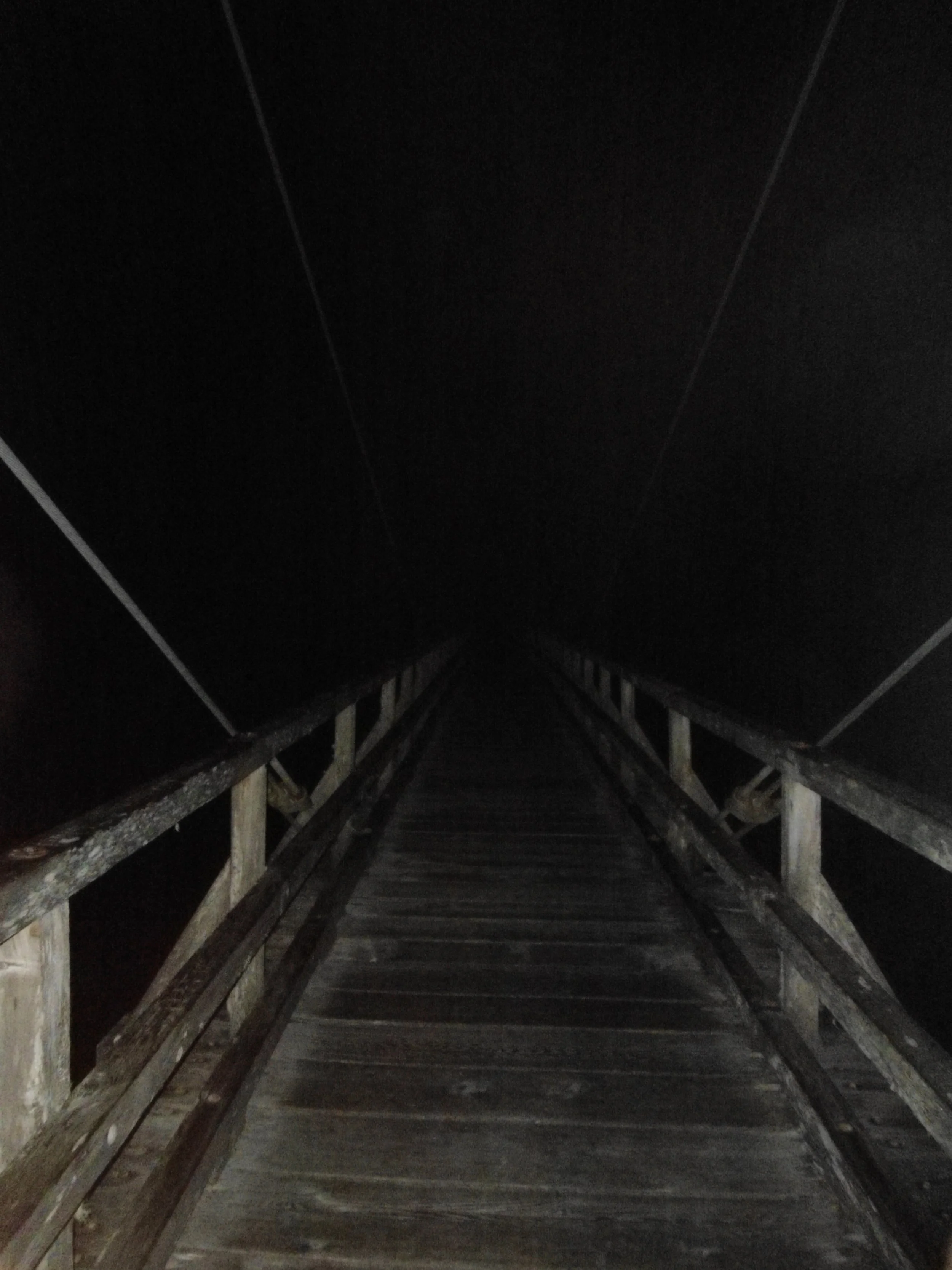
Bridge across Baker River
Around 3:45 am, the terrain got less lush as I veered away from Blum Creek. This made navigation easier, and I was able to pick up the climber's trail. At this point, the route was almost vertical as I began to ascend the steep slopes that rise above the northern shore. The climber's trail is marked and fairly worn in; the navigation issues arise from the debris along it. You'll be following it, and then boom, 8 massive trees are along the trail, and the climbers' trail has disappeared. This exact scenario caused me to veer off route multiple times.
At around 2500' I began to get some slight views of the jagged peaks behind me, as I reached the top, the lower slopes, the upper slopes loomed above. At around 4,600', the route begins to traverse over to Blum Lakes. If you hit boulder fields on the traverse, you're on route. Once past the boulder fields, I ascended up to 5,100' before dropping down to Lower Blum Lake (4,900).
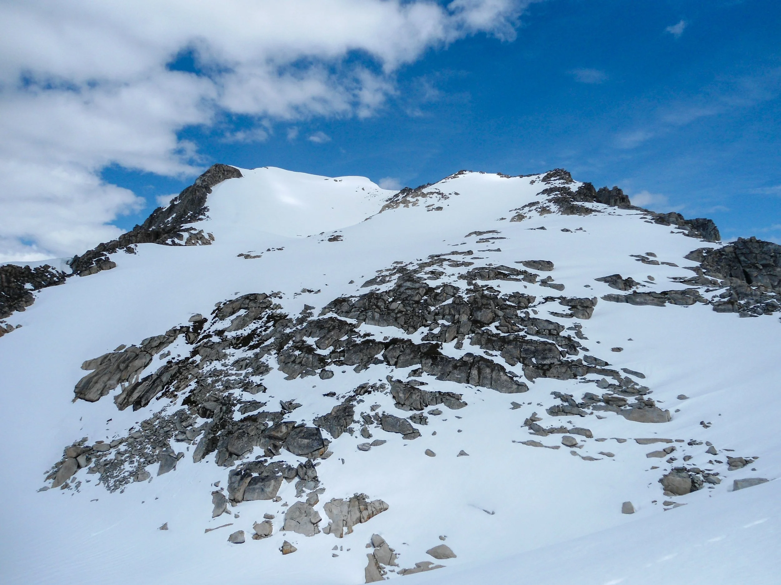
Blum from lower Blum Lake
Snow began to appear around 4,800, but didn't become consistent until I dropped down to lower Blum Lake. Mount Blum is finally visible, towering over Blum Lakes to the east. I took a much-needed break here, switched from approach shoes to boots, and popped on my gators and crampons.
I walked along the south side of Lower Blum before continuing east as I ascended up some moderate snow slopes. I continued this direction, heading towards Upper Blum Lake. At around 6000' feet, I reached a mini ridge. Below me lay Upper Blum; I realized I was a bit too high and quickly dropped down.
I traversed along the South shore of Upper Blum, reaching the North end. From here, I ascended the obvious gully to the Northeast. The gully is quite steep, but the snow conditions were near perfect (I didn't even break out the ice axe). Once past the gully, you'll find yourself in a mini bowl. The route turns left as you ascend another steep snow slope.
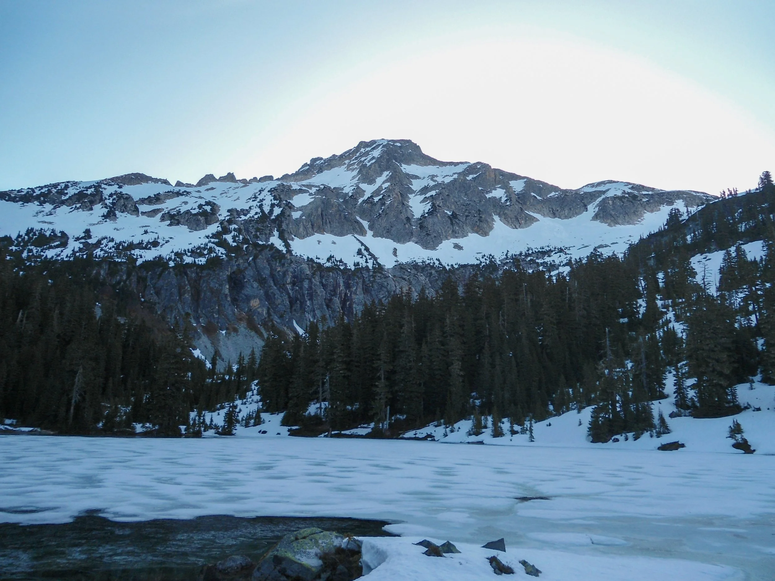
Upper Blum Lake
Once above, continue north as you traverse beneath a ridgeline. At 6,500' I reached a massive rock band. There are two options to gain the ridgeline: 1. Ascend the steep and crumbly rock band, 2. Ascend via a steep snow finger. Since I was going solo, I chose the safer option and ascended via the rock band.
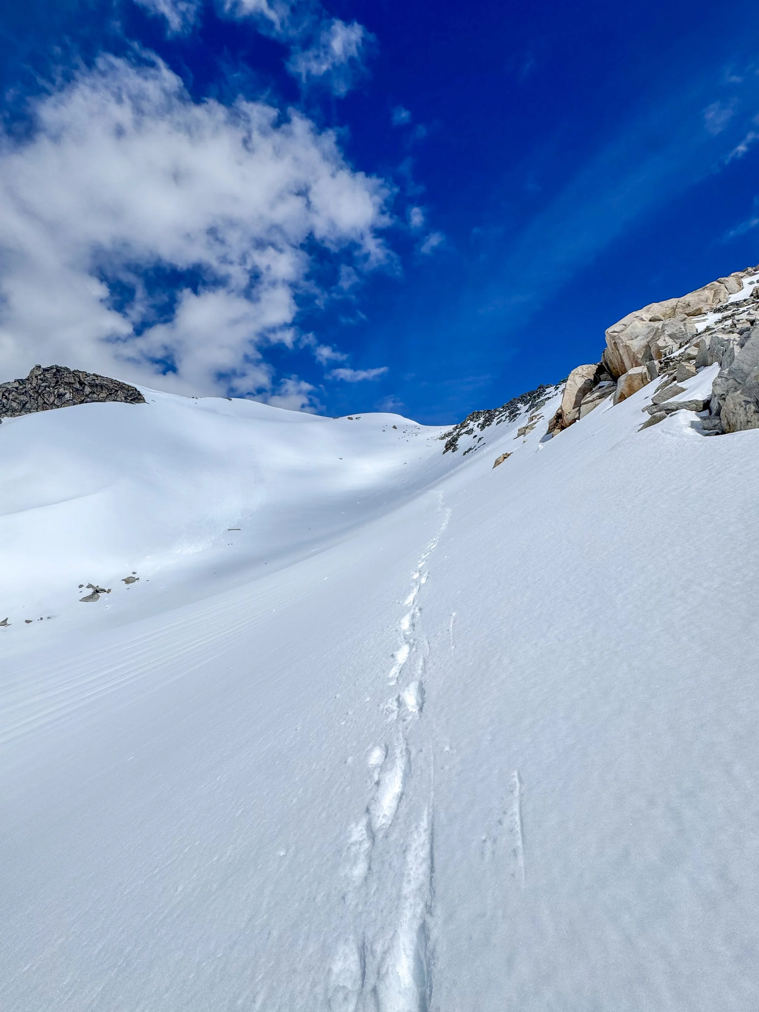
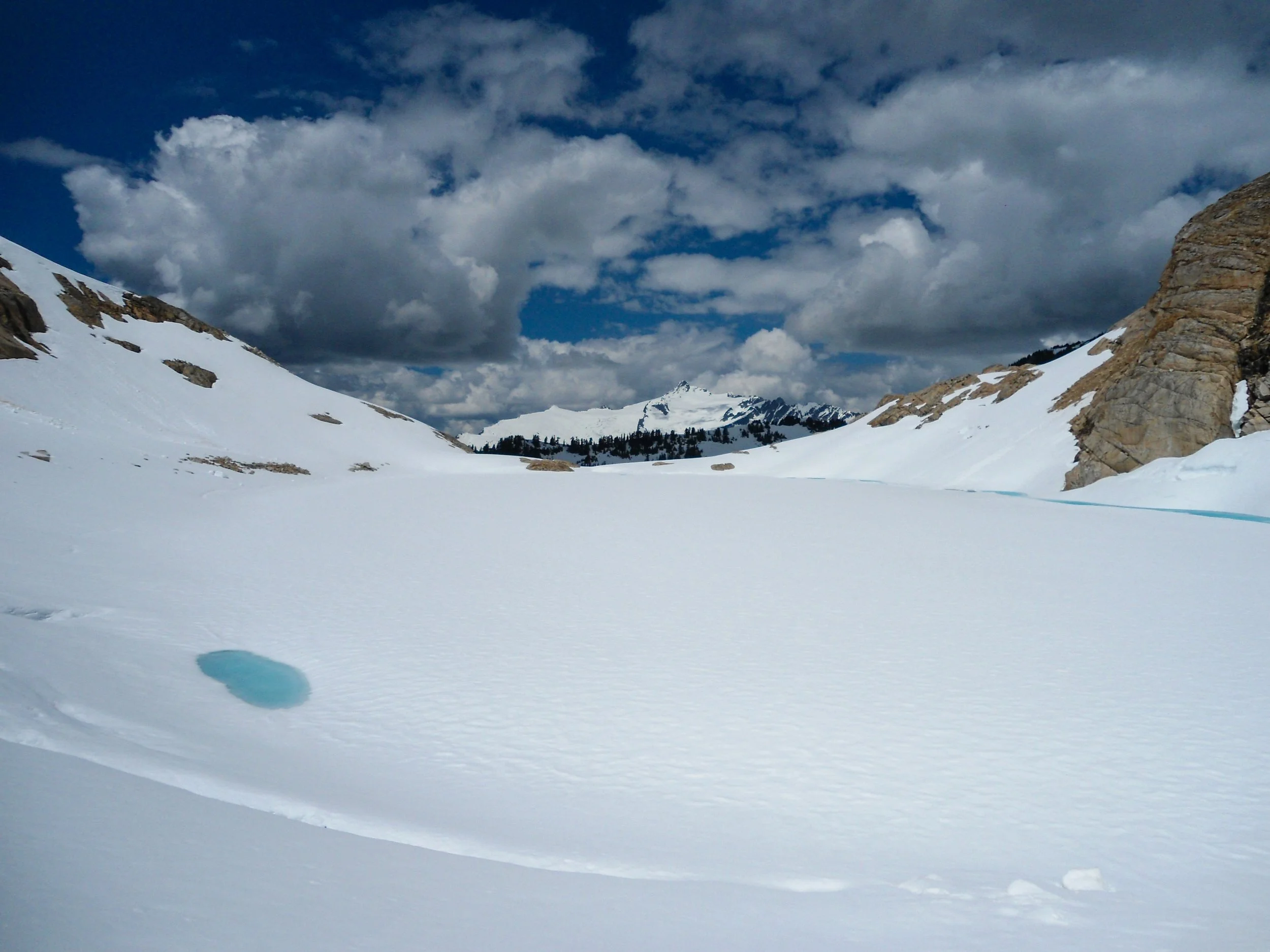
One of the many steep sections.
Once above, I continued my slog upwards. At that point, the views were absurd: Baker, Shuksan, the Picket Range, Baker Lake, and so many more peaks surrounded me as I pushed forward. At 7,100,' the true summit finally came into view, a dual-headed snowy peak, sitting in front of a steep snow bowl. Instead of dropping into the bowl, I elected to traverse north into the bowl at around 7,300'. From here, it is 300' up another steep snow slope to the summit of Mount Blum.
Based on the lack of beta this year, I'm assuming I'm the first summit of the year. There was no sign that anyone had been up here. The views rocked. This is a true North Cascadian peak, and I'd say the views were similar to those from a peak like Eldorado. 100s of rocky snow-covered peaks surrounded me, truly a 1 of 1 area. It took me just over 8 hours to reach the top.
After 30 minutes of lounging up top, it was time to head down. I stored a pole and replaced it with my ice axe for the descent. The snow had softened under the early afternoon sun, allowing me to fly down the snow, plunging step by step the whole way.
The descent, while long, was without incident. And I reached the car just before 5pm. The descent through the forest was truly awful. I can see why the approach scares most people away.
Overall, given the current snow conditions, Mount Blum is little more than a long slog. Other reports have called for 2 ice axes, but as of now, if you have boots, crampons, and an ice axe, you'll be fine. That said, this is a remote area, and there is no real trail; down low or up high, so route-finding skills are necessary. But if you're able to endure the approach, you'll be treated to some of the most stunning alpine scenery in Washington.
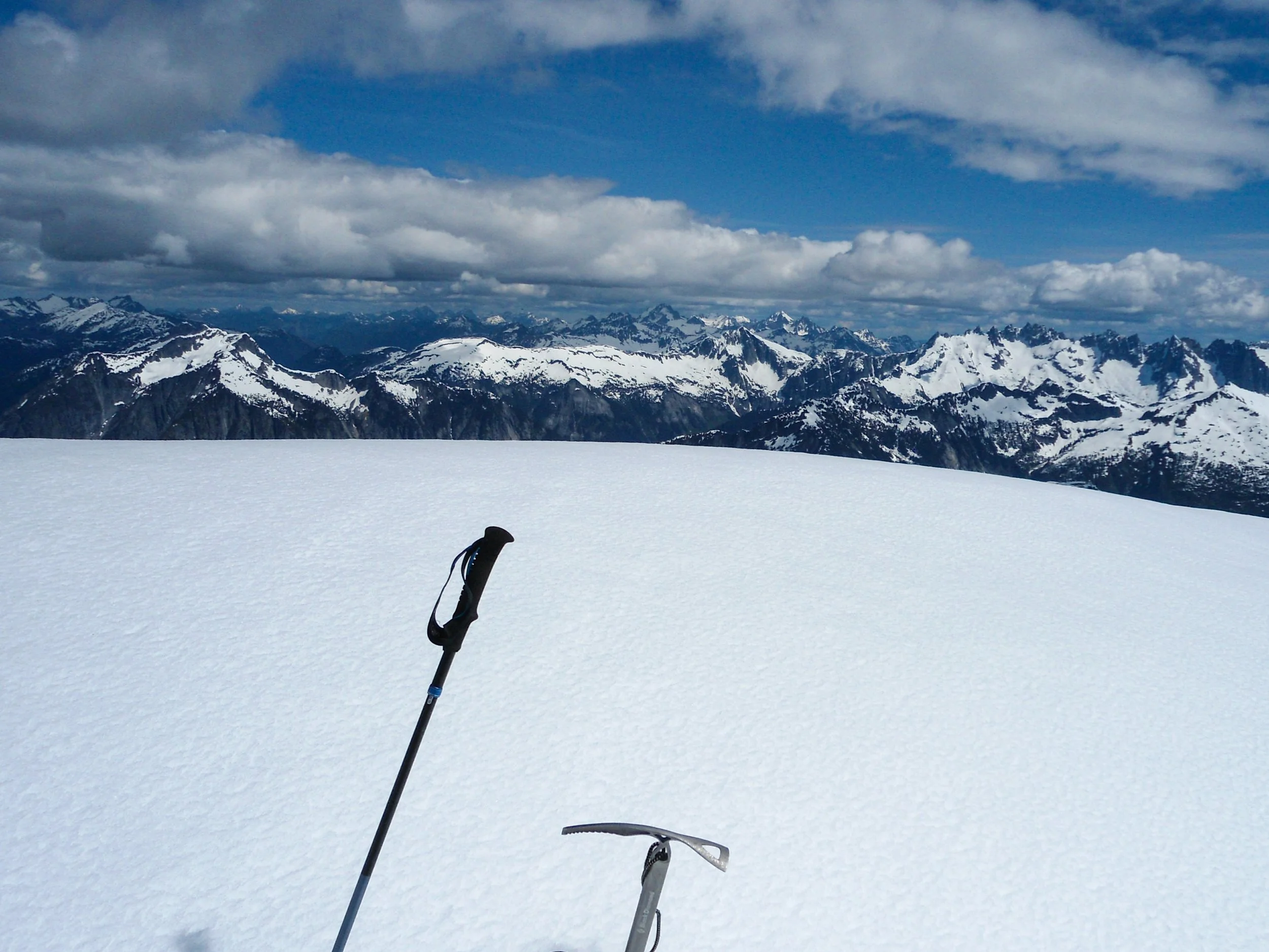
Summit Shot
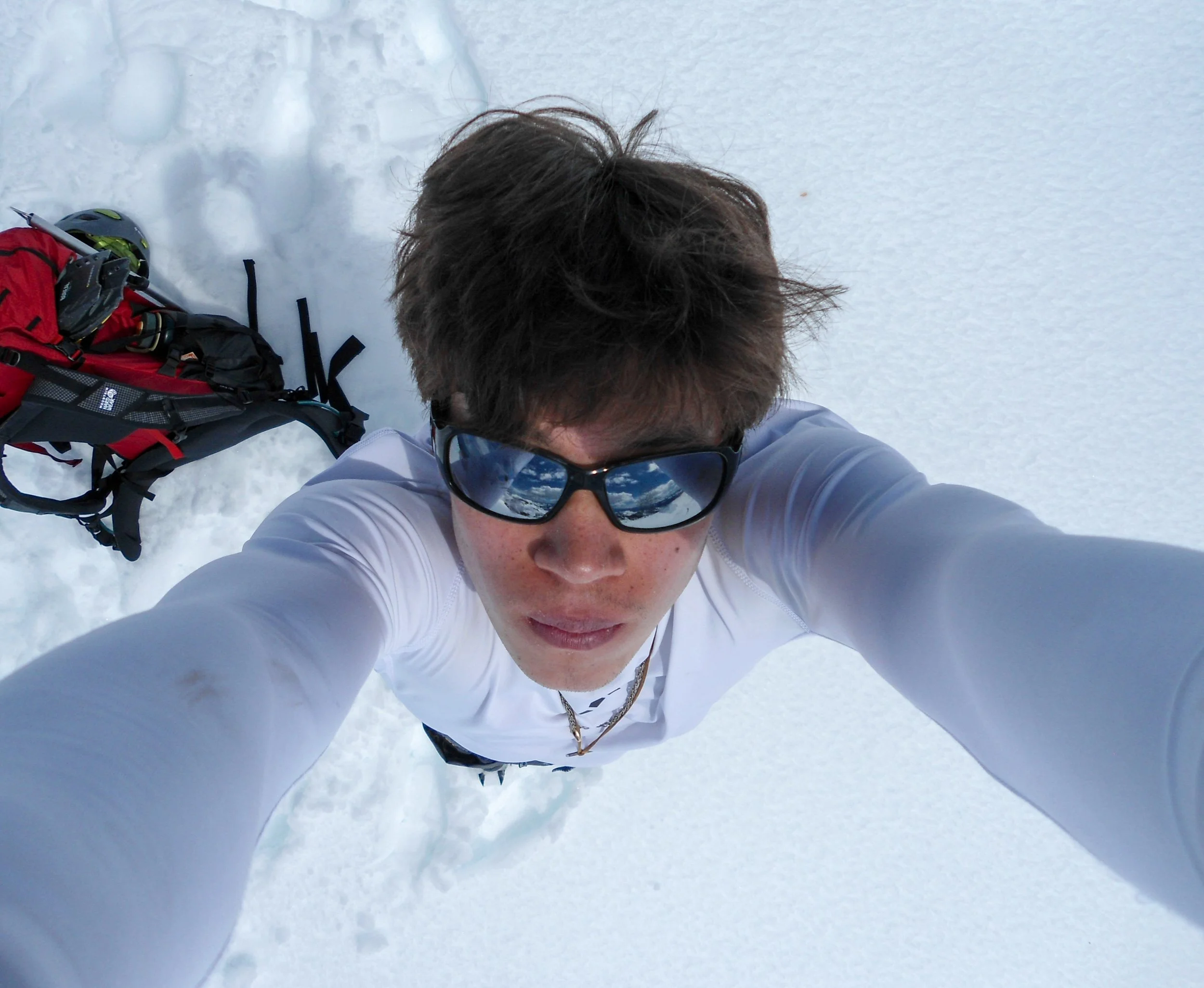
Summit Selfie