Mount Buckner WA
9/12/26
Mount Buckner is the 2nd highest peak in North Cascades National Park and one of Washington's premier peaks. Unlike most North Cascadian peaks, the approach to Buckner is fairly accessible, as one takes Cascade Pass/Sahale Arm to Sahale Camp before dropping into Horseshoe Basin and starting the climb. There are two main routes up Buckner: the North Face, a classic alpine route, and the standard route via Buckner's Southern Slopes. I chose the standard route, notorious for having some of the worst choss in the state. For once, I was glad to be going solo, as human-created rockfall is the biggest danger on this climb.
After getting the weather window I had been looking for, I packed and drove from Bellingham to the Cascade Pass Trailhead. Driving the long road at night wasn’t fun, but the road is in great condition, minus one washout section a mile from the trailhead. I unfortunately got no sleep, as I was terrorized all night by a group of chipmunks who were seemingly trying to get in as they climbed on my car and tapped on my windows all night. I’m not joking. After being woken up to the sound of scratching for the nth time, I bit the bullet and got up and, on the trail, just before 3 a.m.
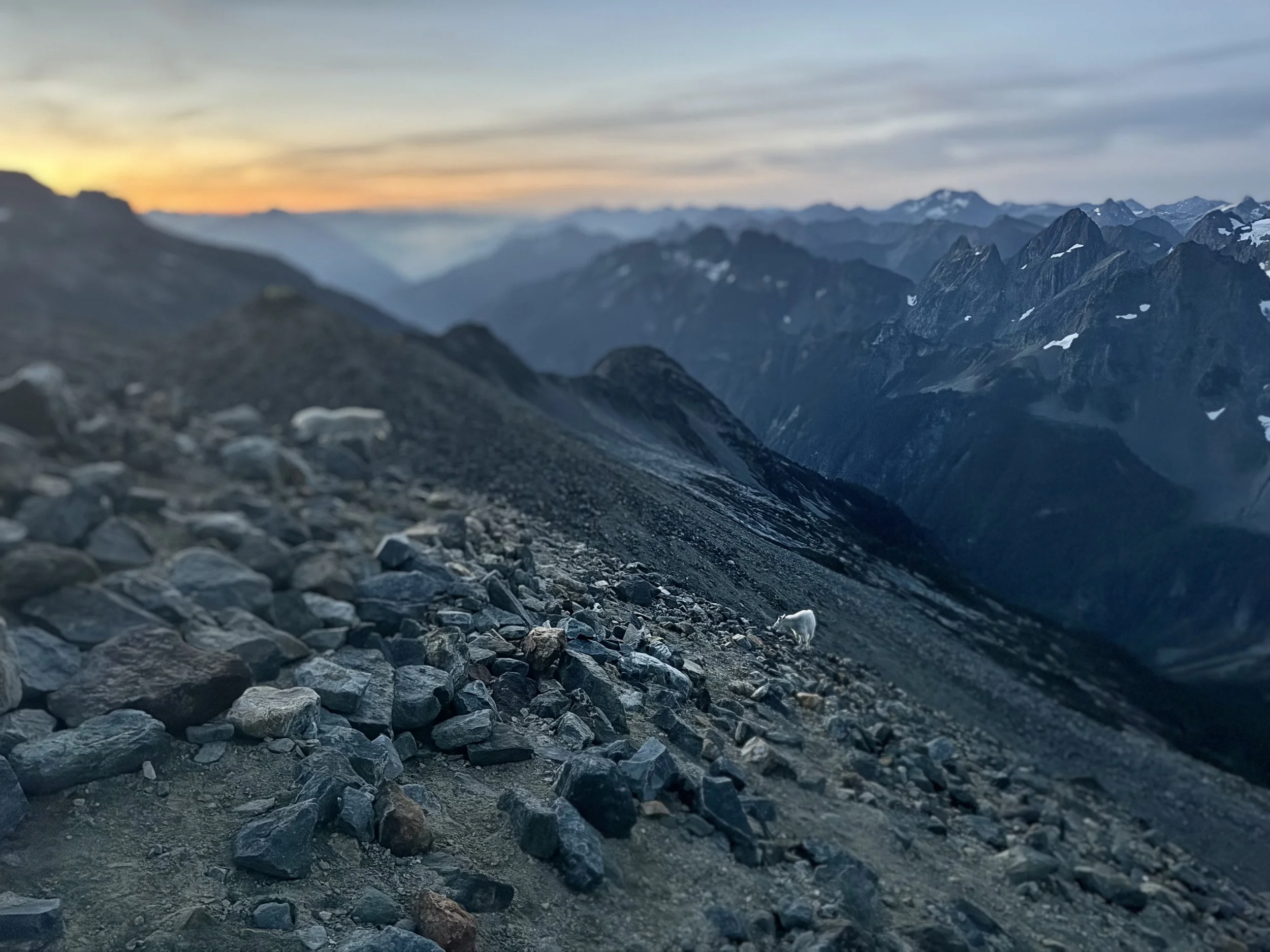
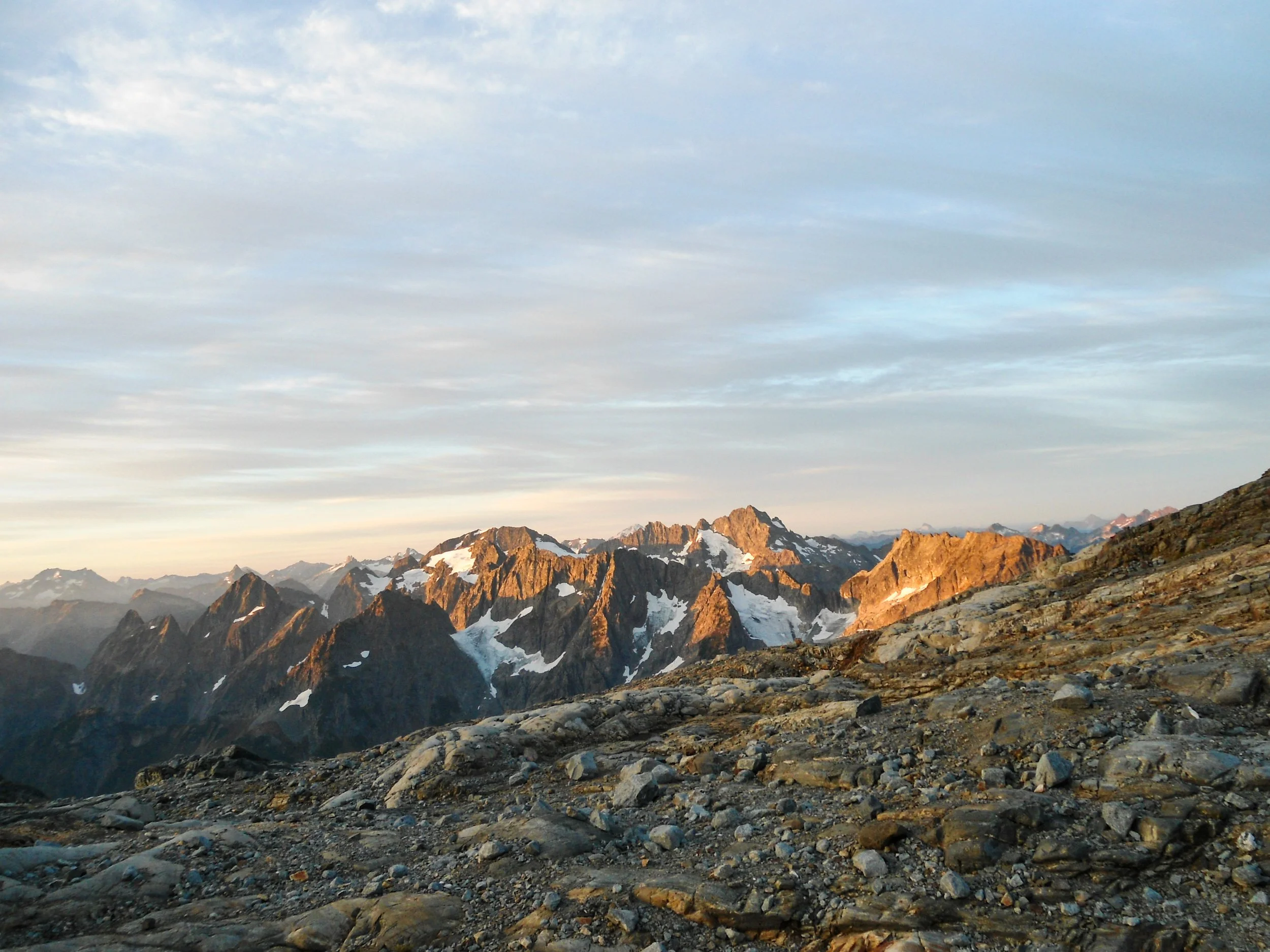
Under the cover of darkness, I flew up to Cascade Pass before continuing to Sahale Arm. As the sun's first light began to shine to the east, I reached Sahale Glacier Camp at 7,600’. As I arrived, I was greeted by two mountain goats who hung out with me, watching the sunrise and basking in the early morning rays. The previously invisible Johnassburg, Tripplits, and Mix Up Peak shone in the early morning alpine glow. To the northeast stood my objective, Mount Buckner, looking awfully far away. After spending an hour taking in the sunrise, I continued along the pass before dropping down into Horseshoe Basin.
Hey guys
I mean…
Buckner
Sahale
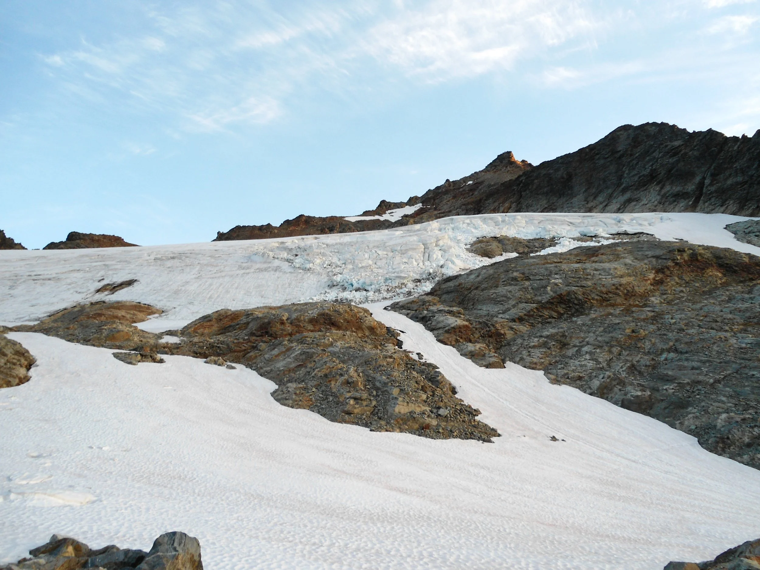
This is where I made my big mistake: instead of staying to the right, I followed GPS tracks to the left before finding myself looking at a steep 100’ snow finger. The only way to bypass it was to retrace my steps and stay right on the rock. I decided on glissading down what was basically ice, which was nerve-racking, unnecessary, and not fun. Once past this section, I descended via a rock ledge before turning onto a steep chute which I followed all the way down to Horseshoe Basin. It's critical to stay on route here, as there is really only one easy way down. If you stay on route, the whole section will be Class 2+ with one legit Class 3 move.
Looking back Sahale peaking out
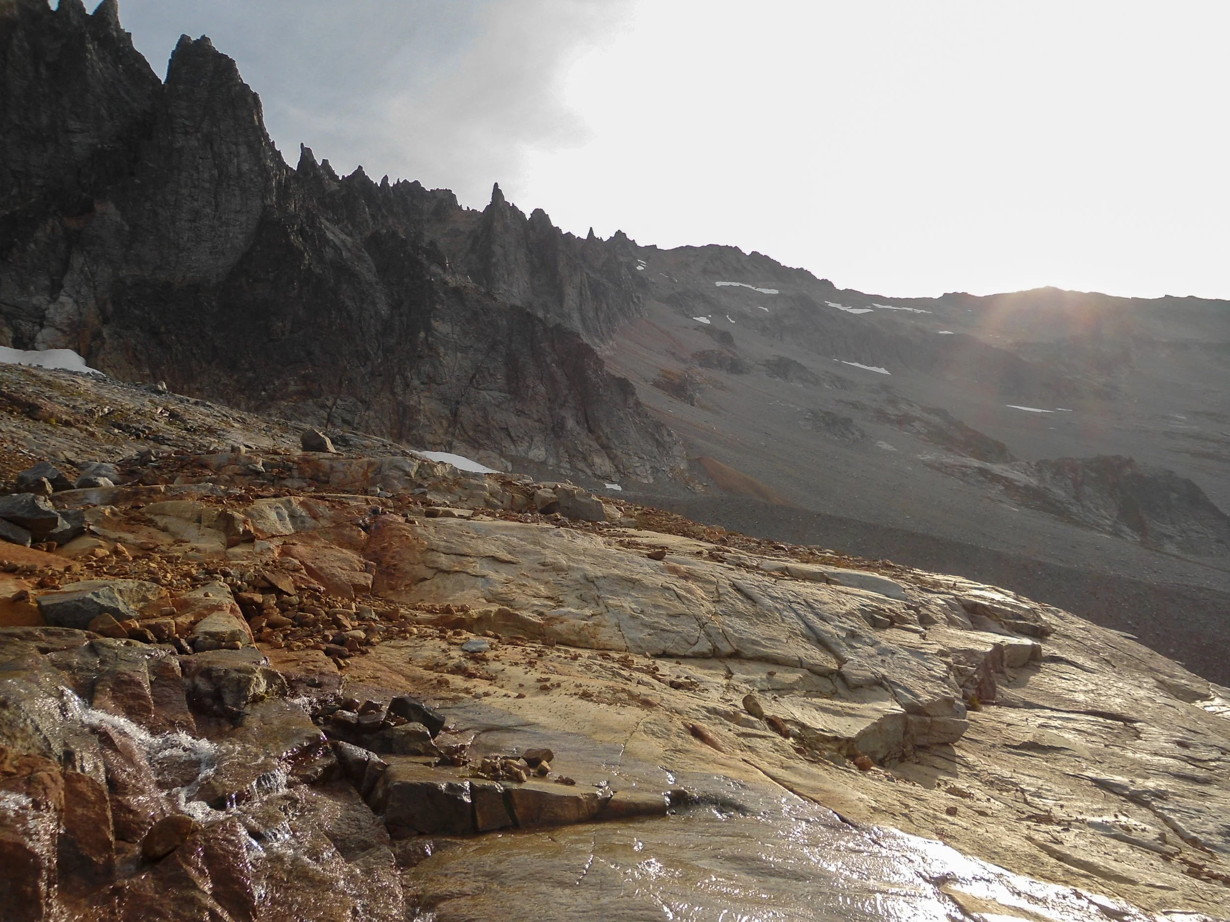
In the basin
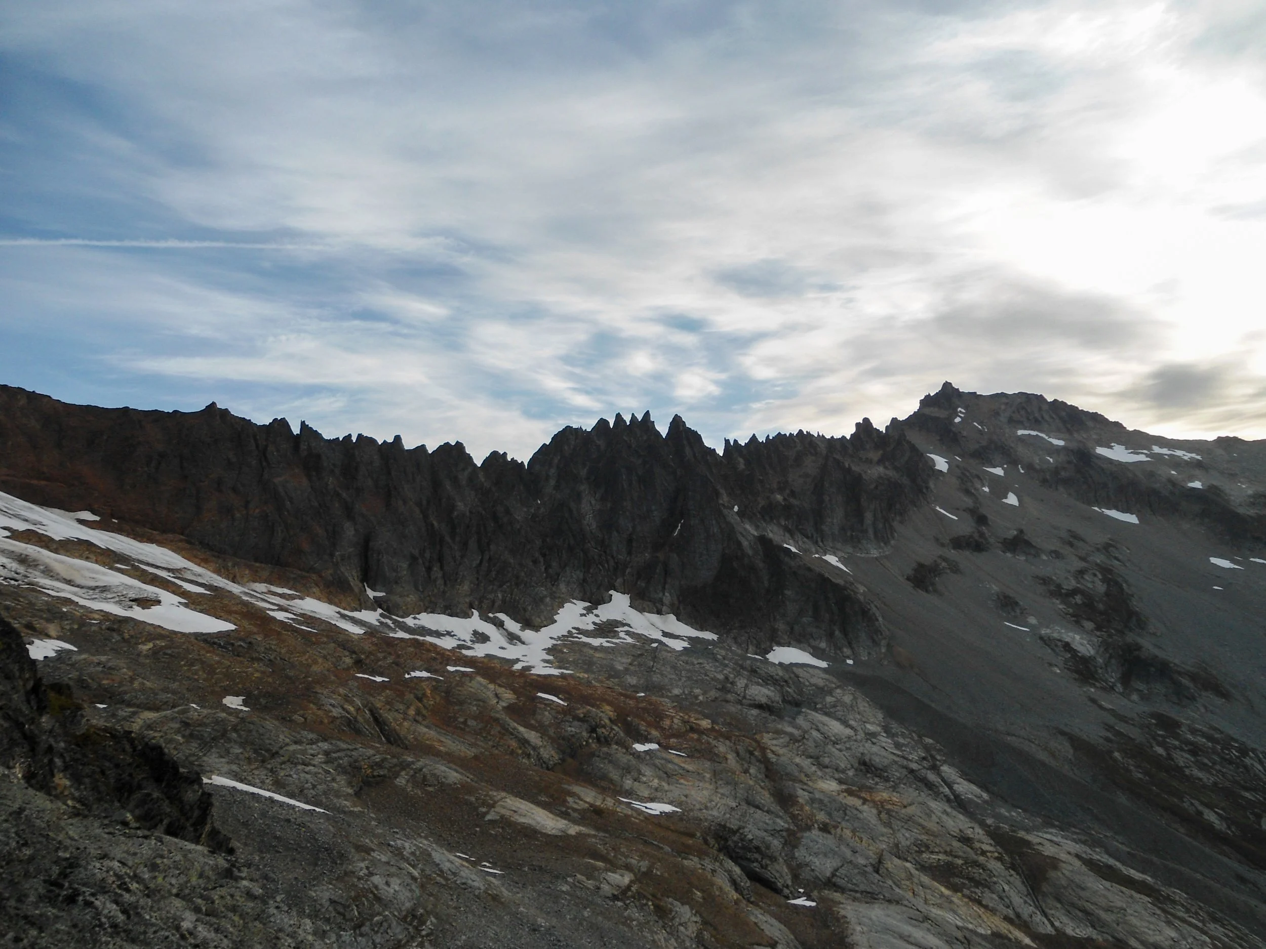
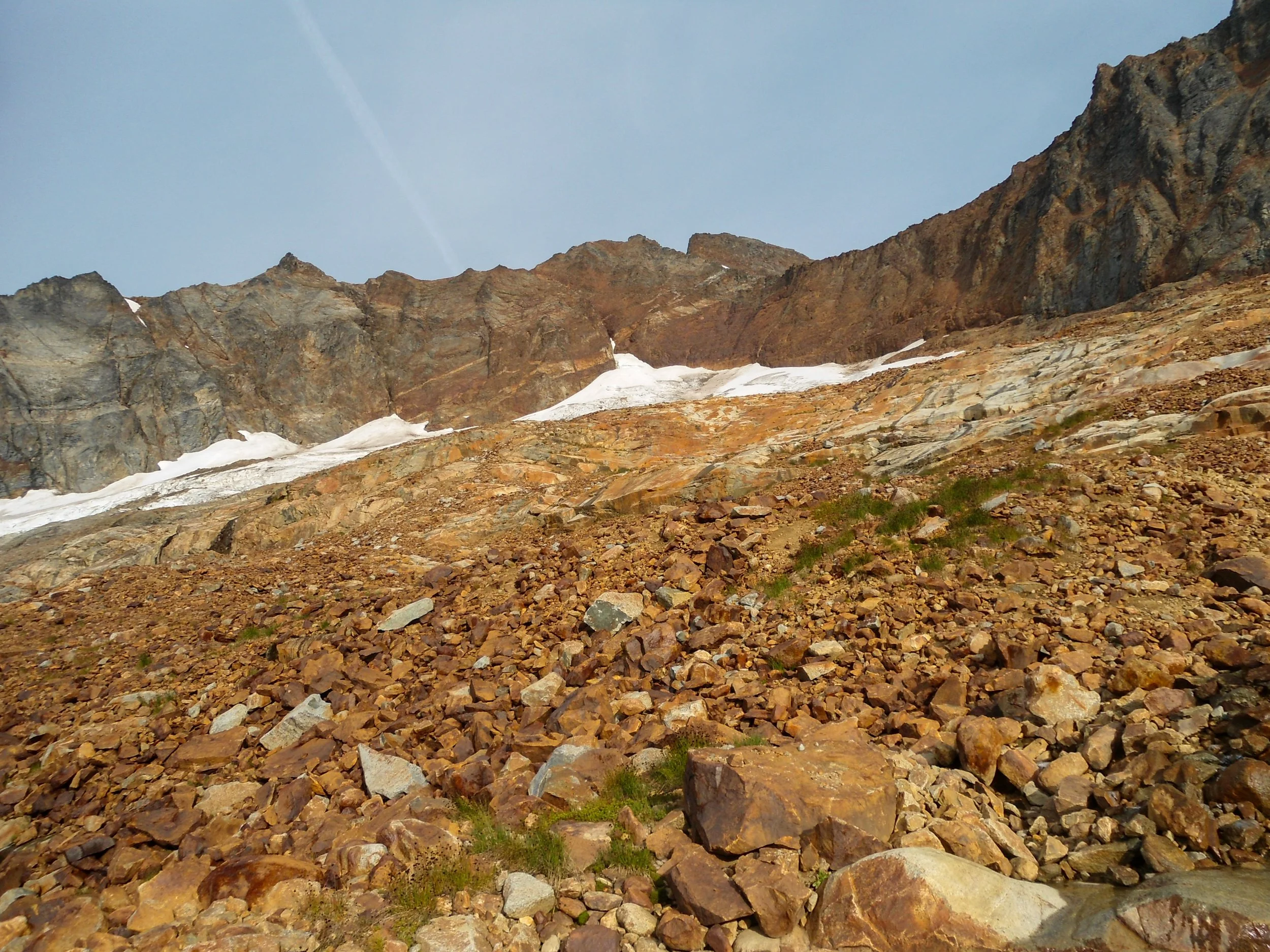
Horseshoe Basin captures the ruggedness of the North Cascades, where steep slopes meet the Davenport Glacier beneath Boston Peak. Once in the basin, I began traversing toward Mount Buckner, hopping along slabby rocks and crossing various glacier-fed creeks and waterfalls. These creeks are the last running water source along the route. I soon left the slabs behind as I began to ascend loose rock to 7,000 ’, where I stumbled upon a bunch of old mining equipment.
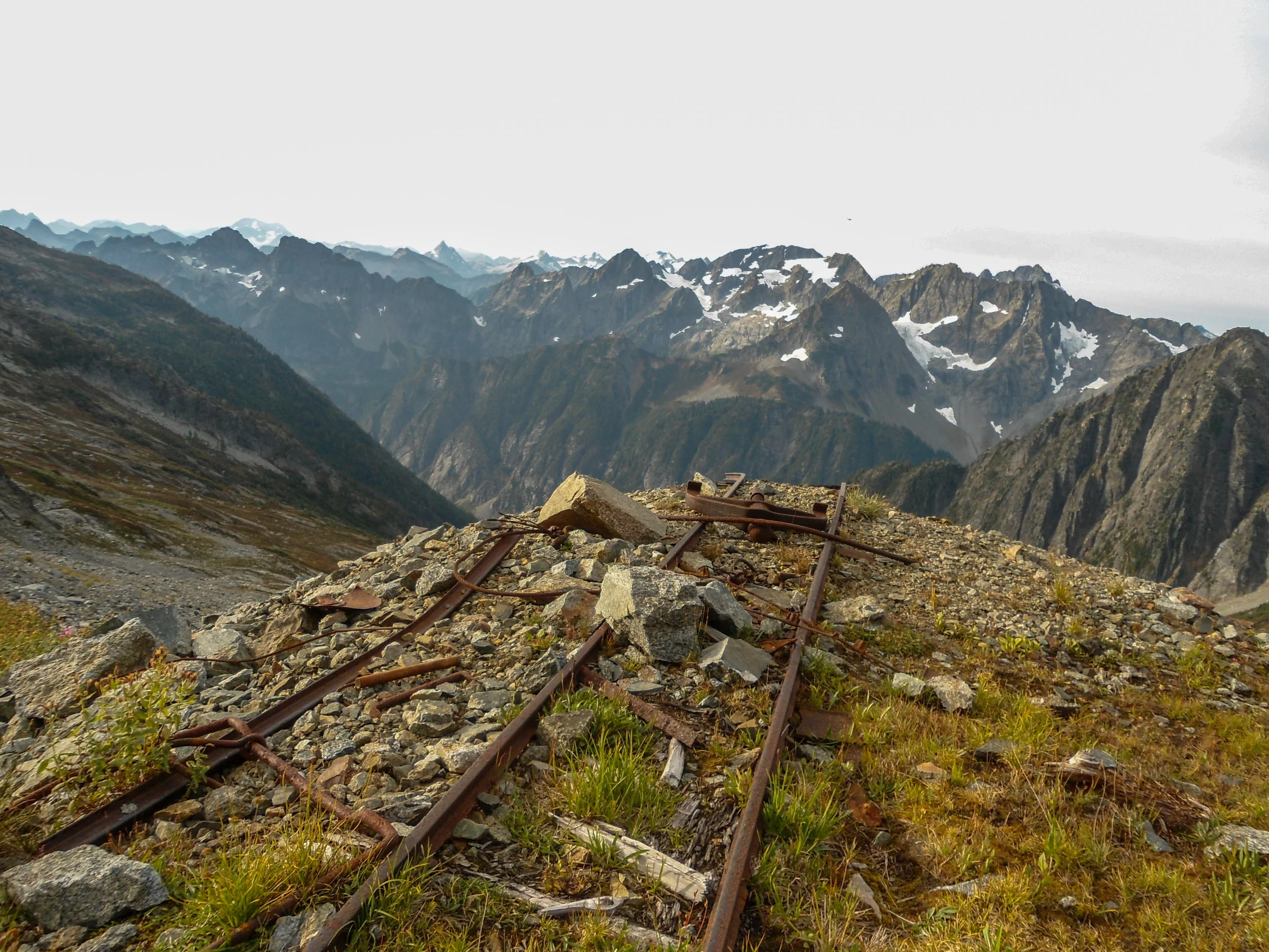
Old mining stuff
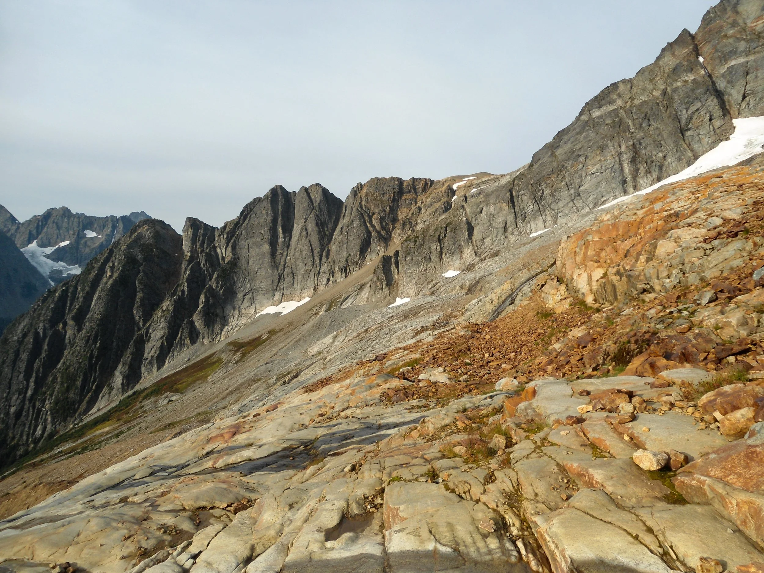
Looking back at my route down
From here to the summit, one must ascend nearly 2000’ of some of the worst choss around. There is a “route,” but I took the path of least resistance, which for me meant staying on more stable, steep rock. At 7,400 ’, I hit a late-season snowfield; stay to the right. I ended up staying right of most GPS tracks and scaling some solid class 3 rock, as I’d rather do some easy scrambling than deal with scree for 2000’. At around 8,800’ the summit block came into view as I gained the ridgeline before gaining the summit via the backside of Buckner. At no point did I don my helmet, although if anyone else were on the mountain, I would’ve.
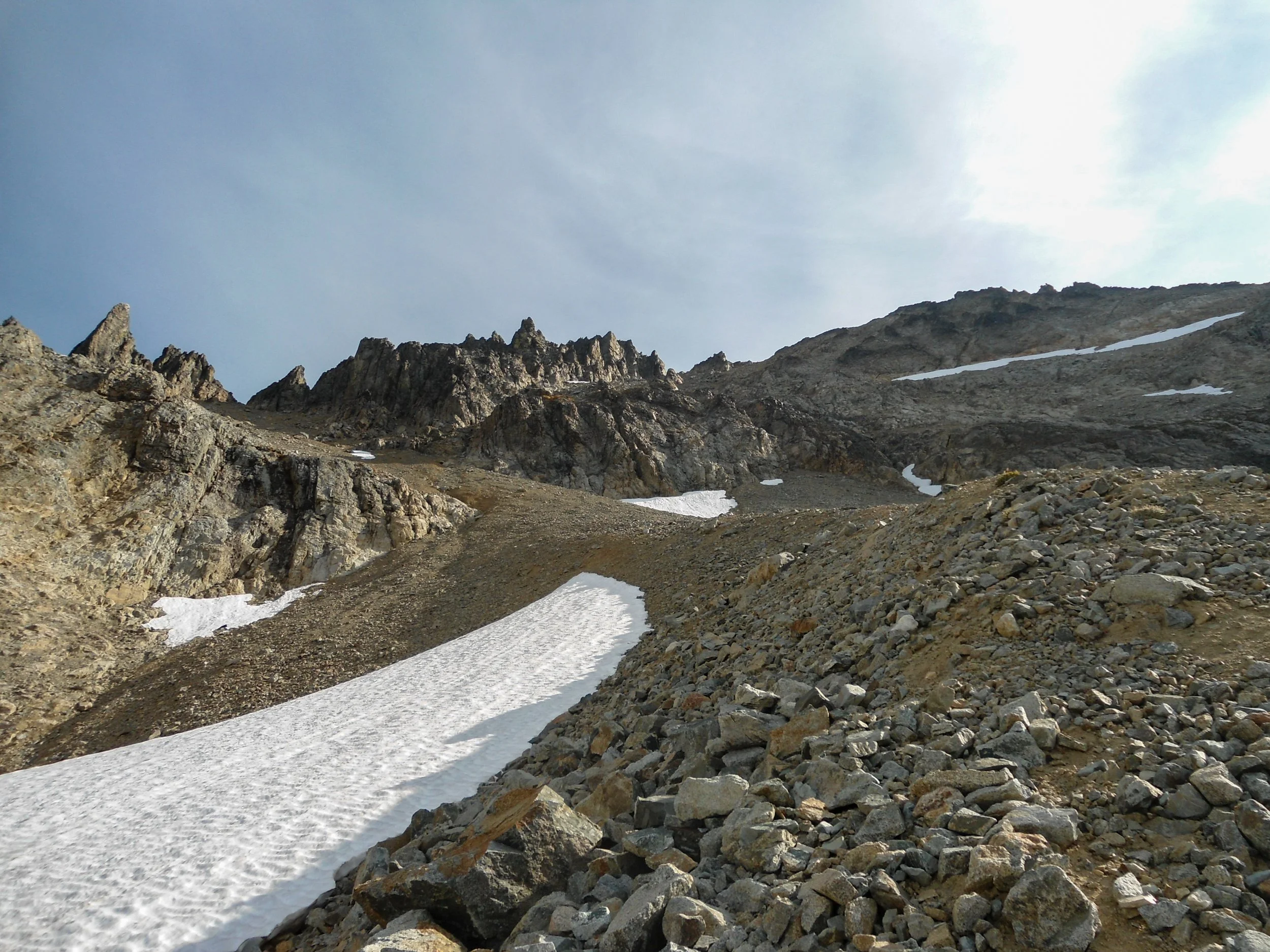
Staying right of the snowfield
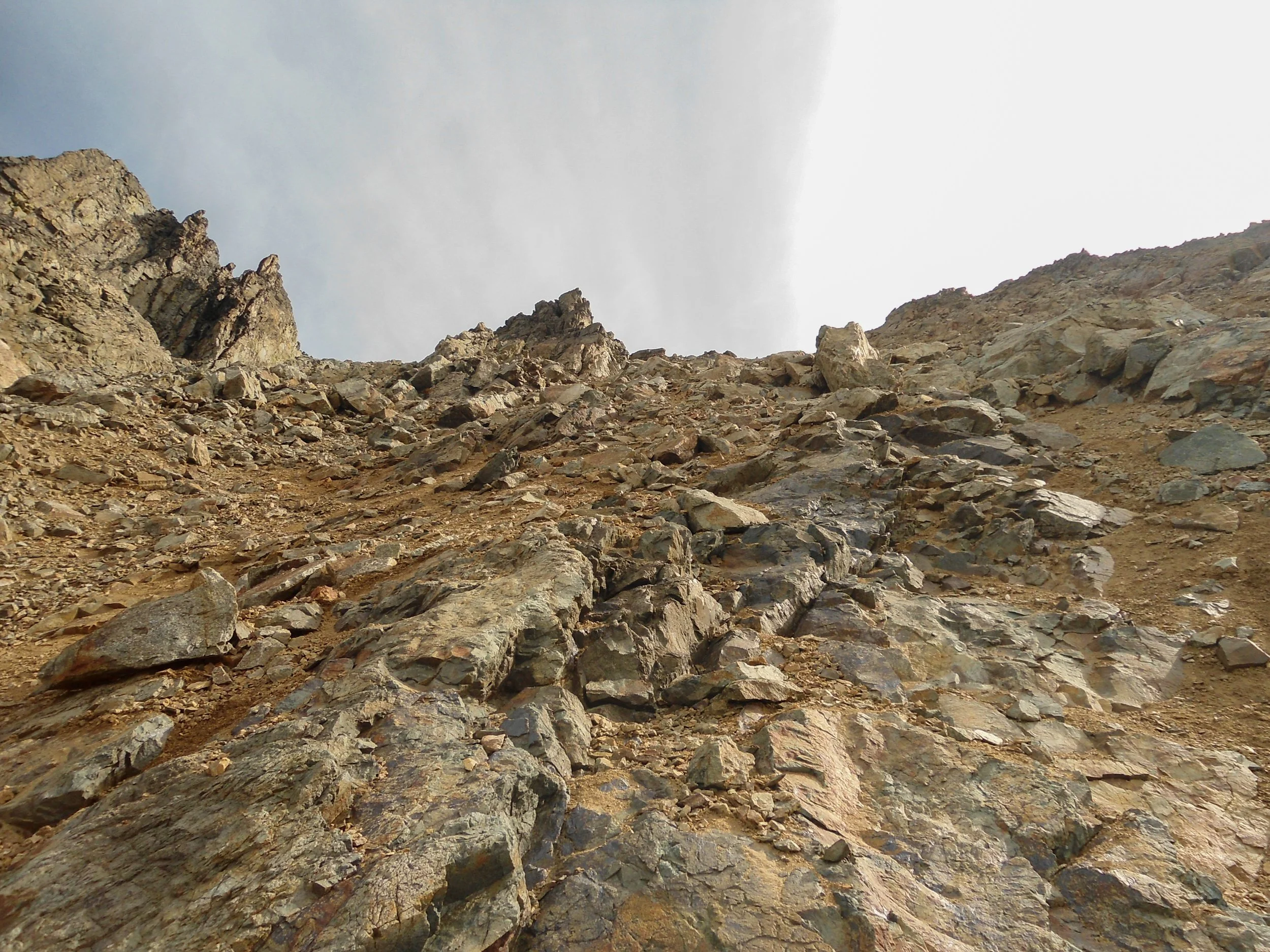
Lots of this :(
The summit views were sick; Buckner's North Face and the massive Boston Glacier were staggering. The entirety of the North Cascades and much of the Central Cascades were visible, with Glacier Peak and Sloan Peak standing in the distance.
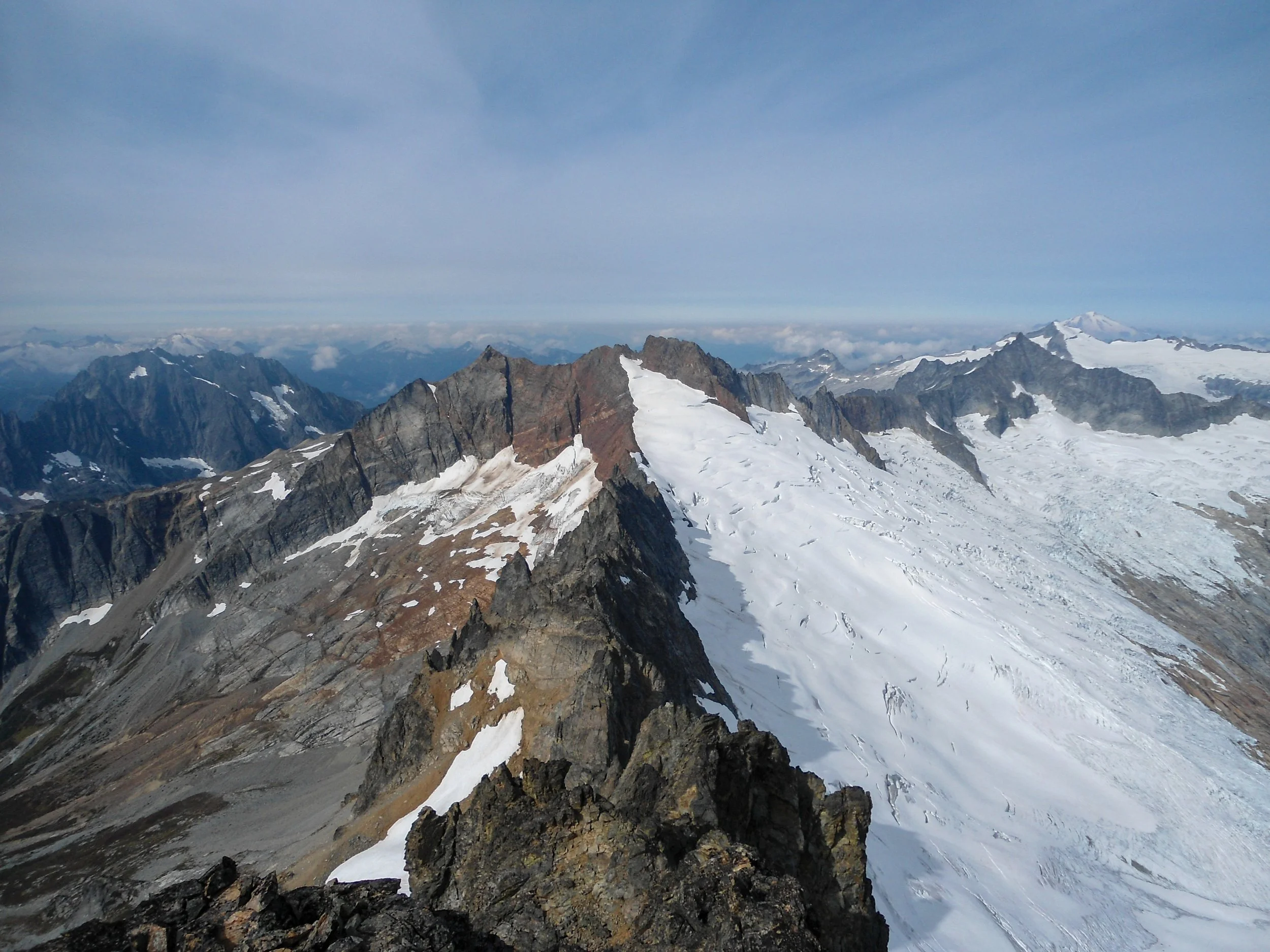
Oh yea, all the iconic North Cascadian peak in a line
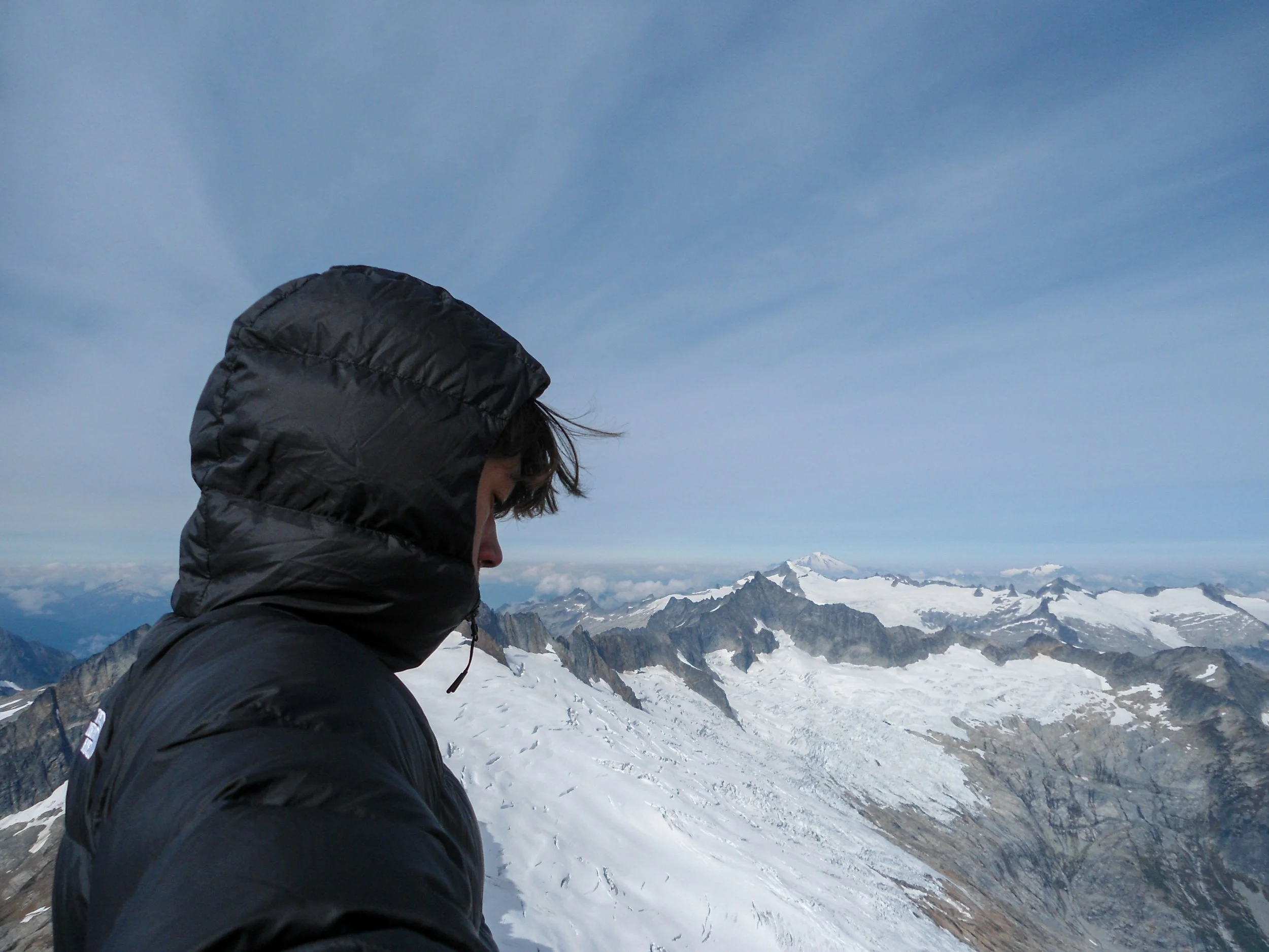
Boom , Hi Baker
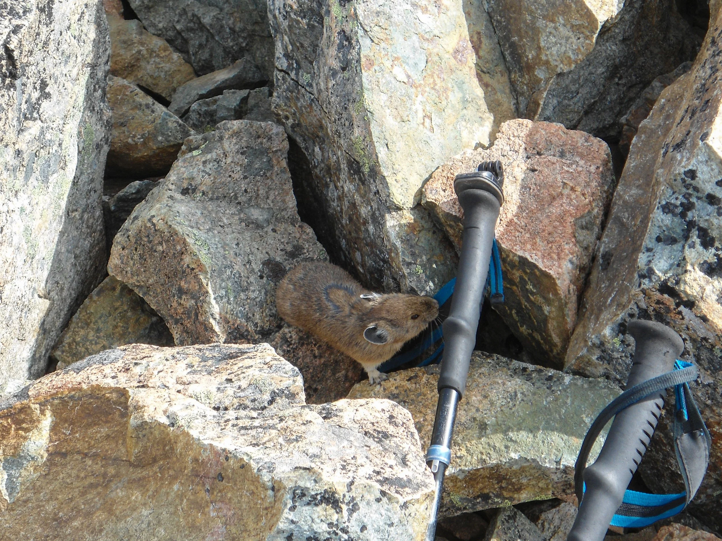
Why hello
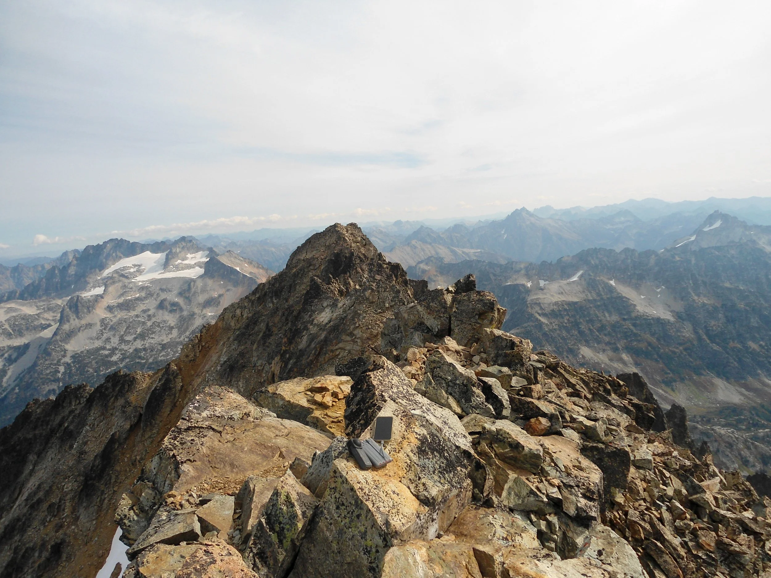
Ridgeline
After 30 minutes up top, I put on my helmet and began the descent. The descent to Horseshoe Basin was straightforward, although I did send rocks flying down the mountain; I definitely wouldn't want anyone else up here. Once at the basin, I breathed a sigh of relief before starting the grueling ascent back up to Sahale Pass; this time, I stayed off the snow. Descending from Sahale Camp to the trailhead was awesome, since I had zero visibility on the ascent in the dark. I was surprised by the early fall colors, which turned the meadows from green into a sea of red and yellow. After only seeing 2 mountain goats on the ascent, I saw 9 on the descent, including multiple babies. This is truly a magical area.
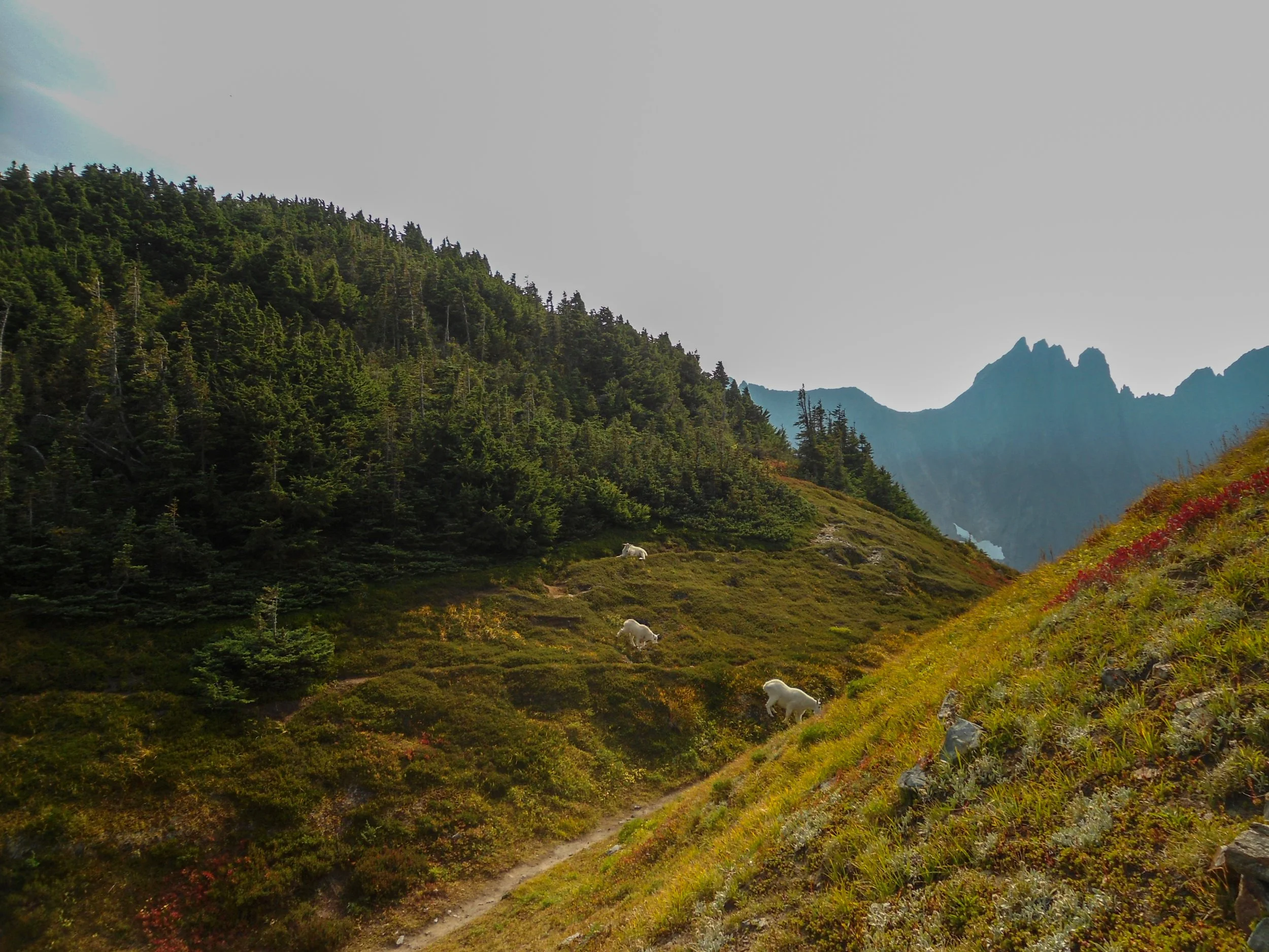
Hey guys
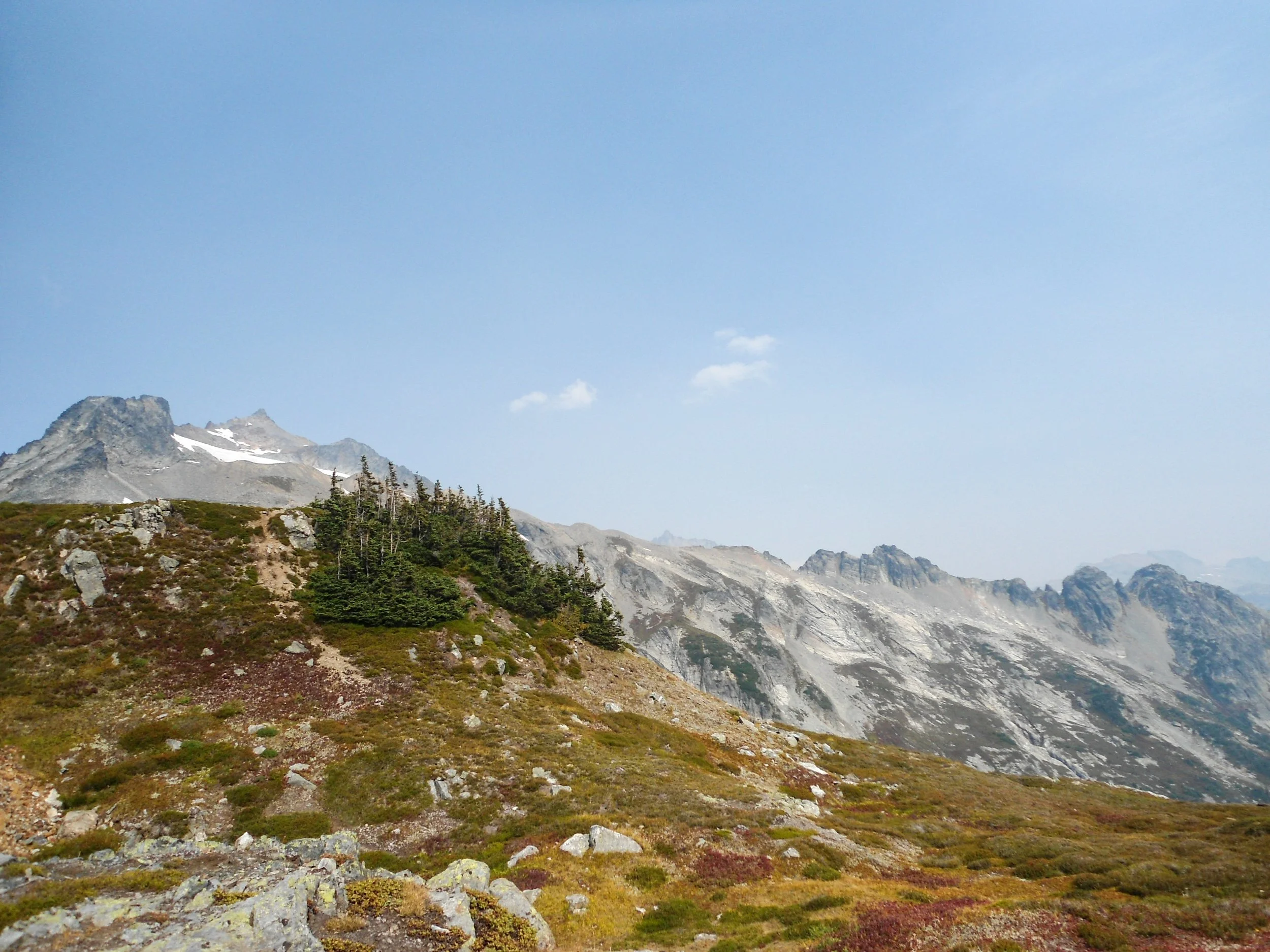
Buckner in the far back
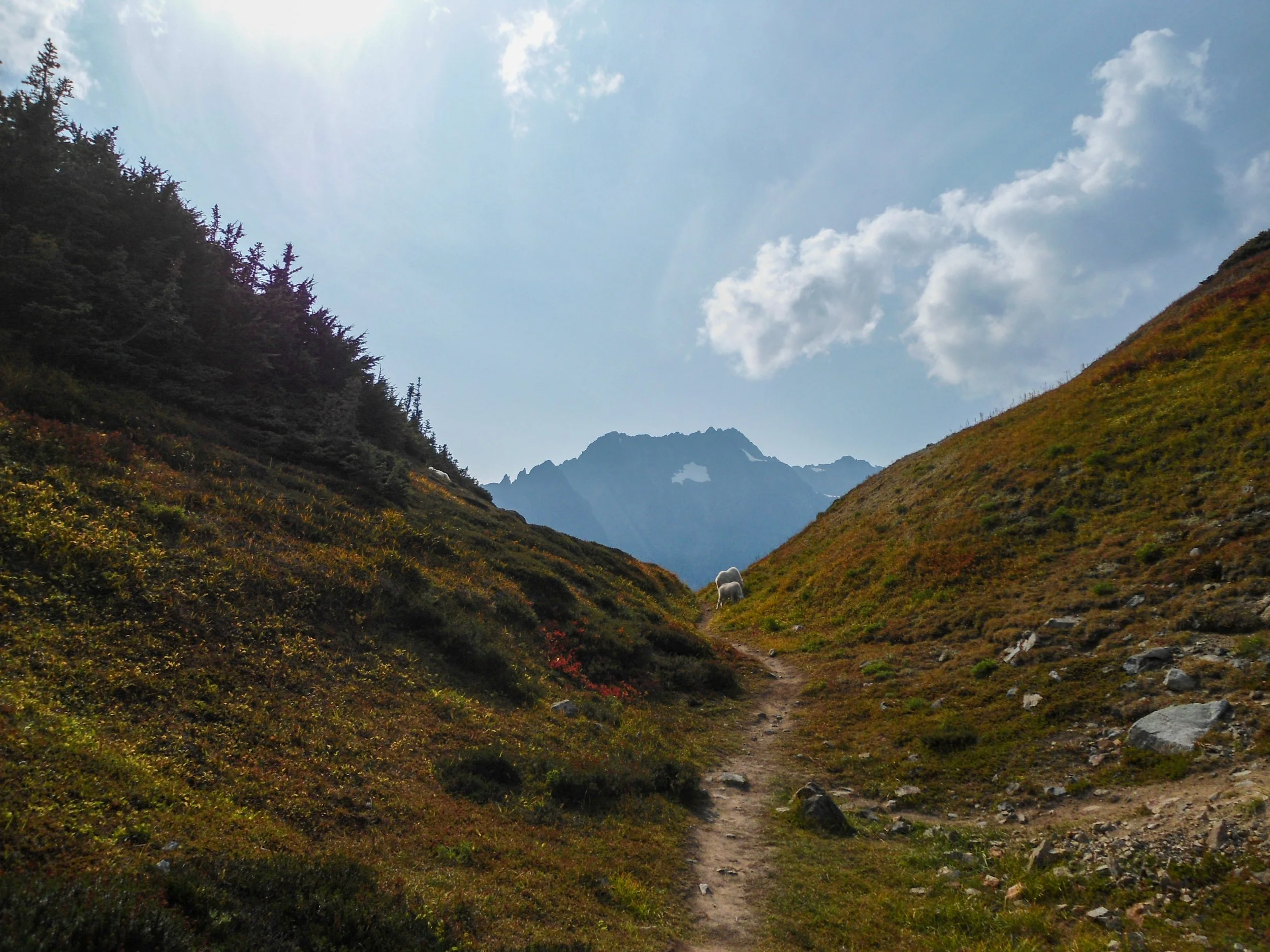
More goats
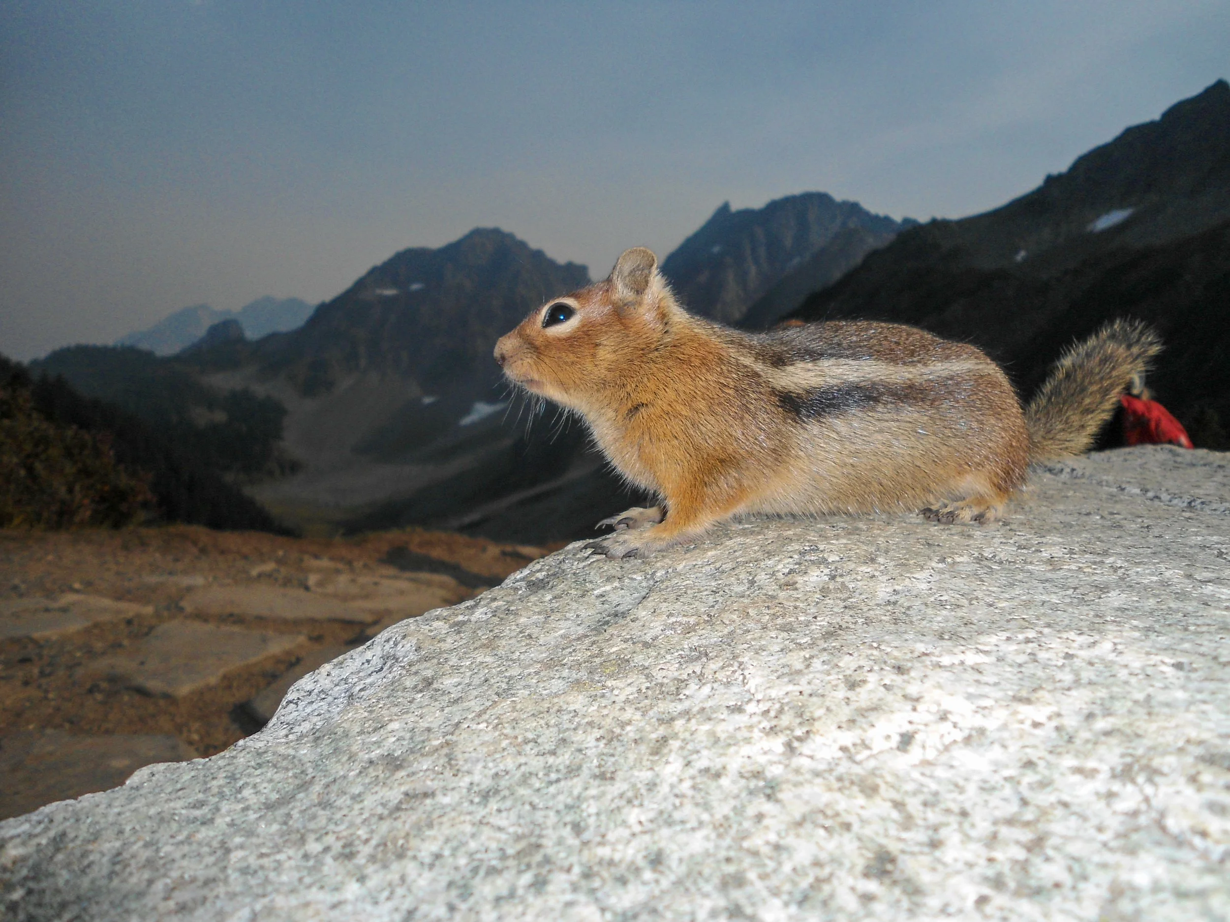
Damn bastards
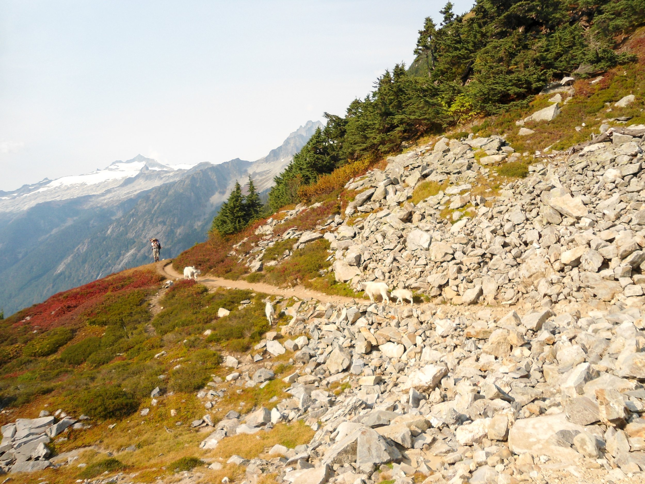
Road block!
Overall, Buckner has one of the best approaches of any climb in WA. That said, the actual climb of Buckner is mediocre at best (via the standard route); luckily, the views more than make up for it. This is a mountain that is best done solo - or with a small party, and one should pray they're the only group on the mountain. For those who wish to camp there, a few unofficial camp spots along Horseshoe Basin are commonly used. As always, happy hiking and Stay Safe.
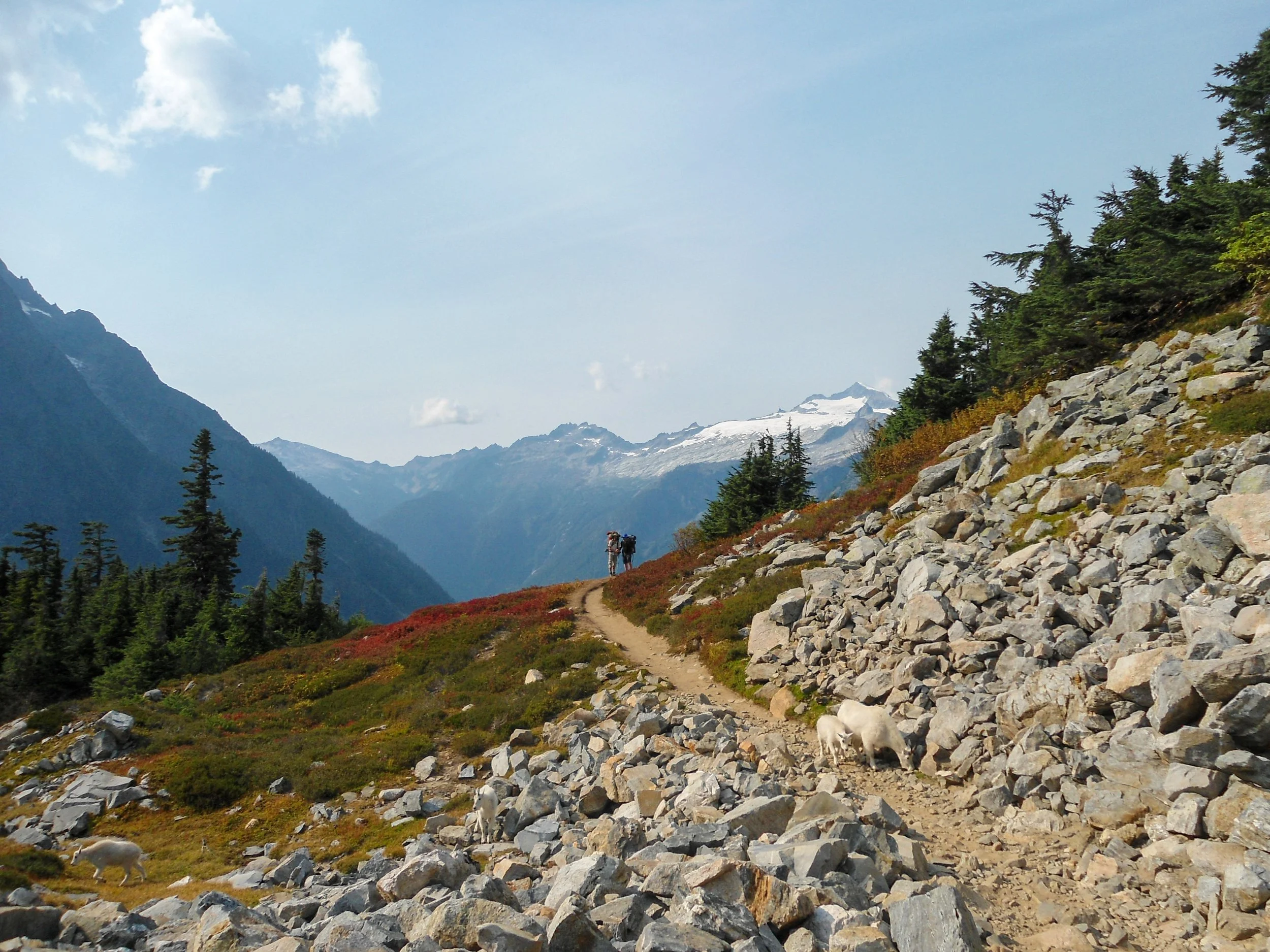
Baby!
