Ruby Mountain WA
6/11/26
Ruby Mountain is a prominent mountain located between Ross and Diablo Lakes. In fact, it is the 21st most prominent mountain in Washington. While most peaks within the North Cascades have technical and route-finding challenges, Ruby Mountain has neither. There are two routes to the top: the Happy Creek Route and the Fourth of July Route. Due to Highway 20 being closed at Ross Lake, I had no choice but to take the Fourth of July Route, which is longer and has more elevation gain.
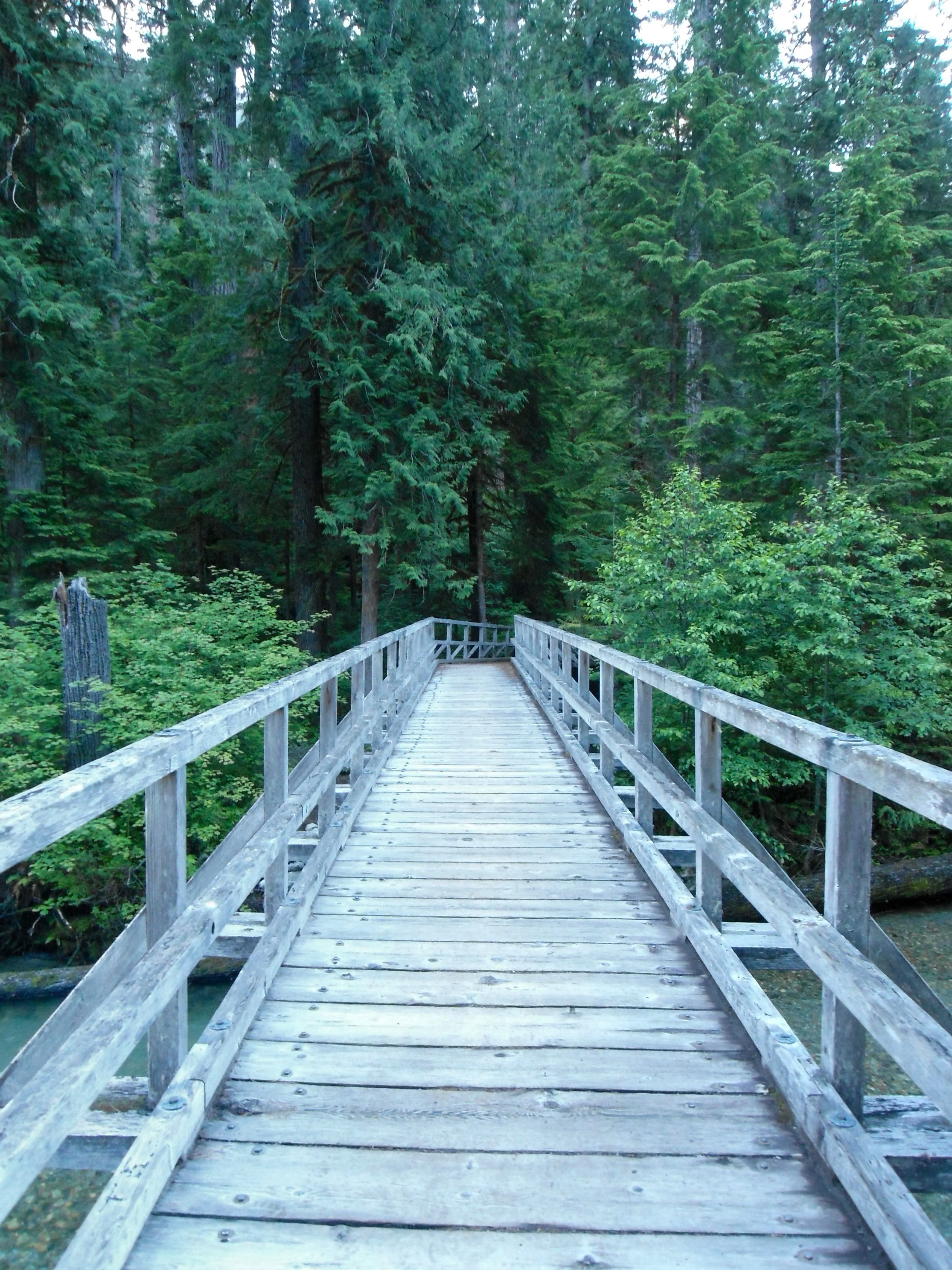
Crossing the creek

Thunder Creek
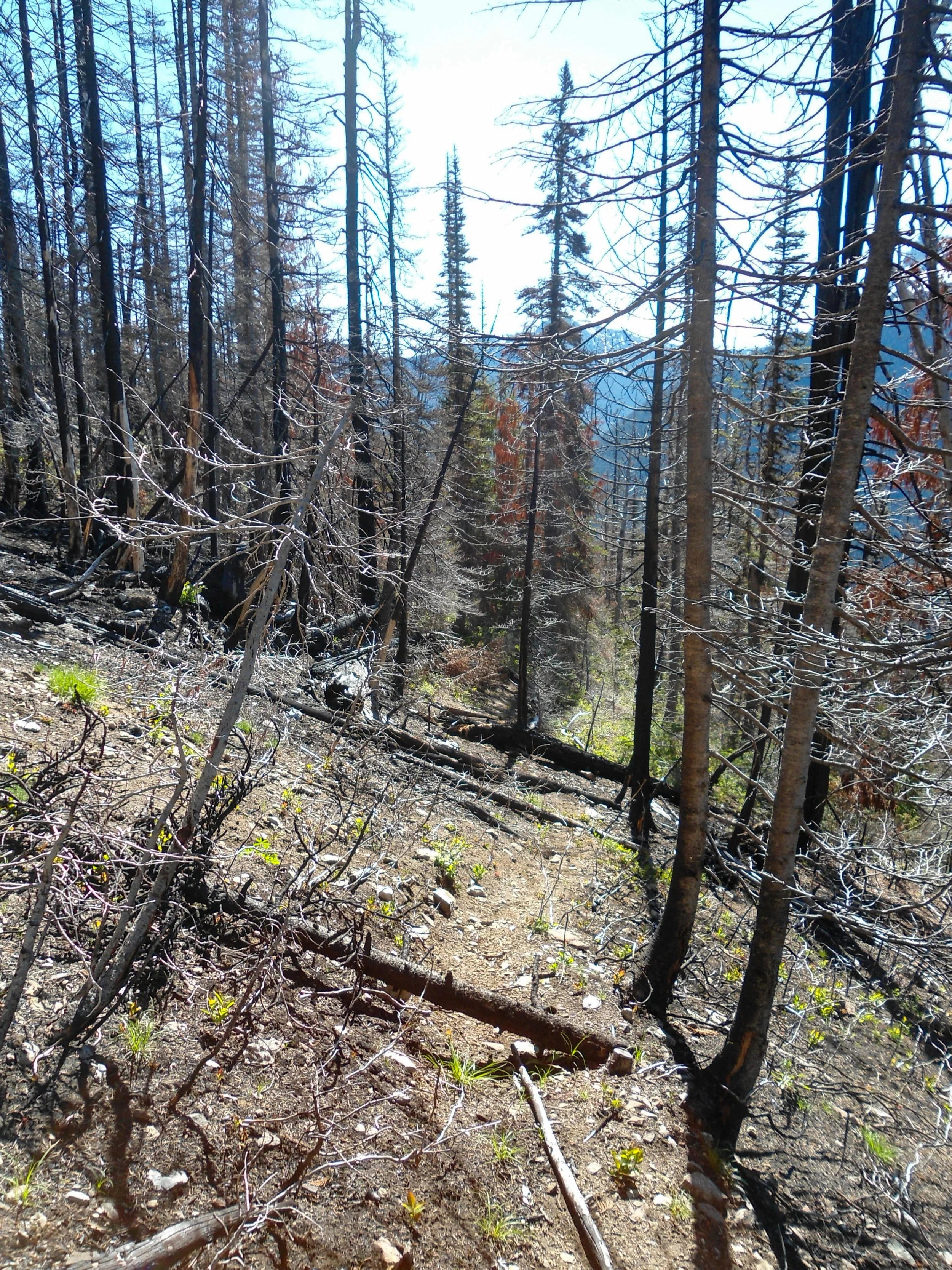
I left Bellingham just after 4 am and got on the trail just after 6. The trail starts by following Thunder Creek as you flatly head south. About 1.5 miles in, I crossed the creek and split from the Thunder Creek Trail and onto the Fourth of July Trail. This marks the end of the flat terrain as I begin to steeply ascend through a series of short switchbacks. After 2 Miles and 2,100’ of elevation gain, I reached Fourth of July Camp, a series of camp spots along the trail. I was also greeted with my first views of Snowfield Peak, Colonial Peak, and The Needle’s icy tops, peaking out above the trees. Once past the camp, the trail flattened as I continued another half mile to the Ruth Mountain Climbers' trail split. The trail is marked by a wooden sign that reads “Trail Abandoned No Longer Maintained.” The sign is right; the trail is not maintained, as evidenced by the 100s of blowdowns I had to climb over. At around 4,800, the trees became sparser as I entered the burn zone. Back in 2024, the “Ruby Fire” burned 1000’s of acres of forests along Ruby Mountains' slopes. The contrast between the black trees, the patches of grass and wildflowers, and the snowcapped peaks in the distance was stunning.
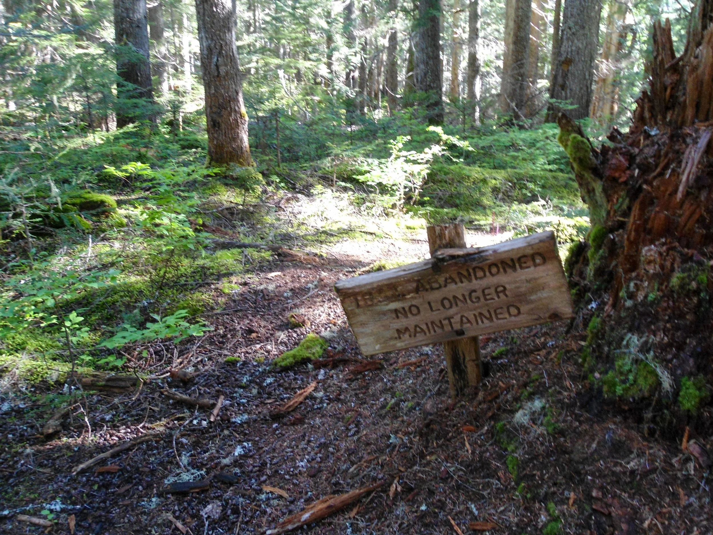
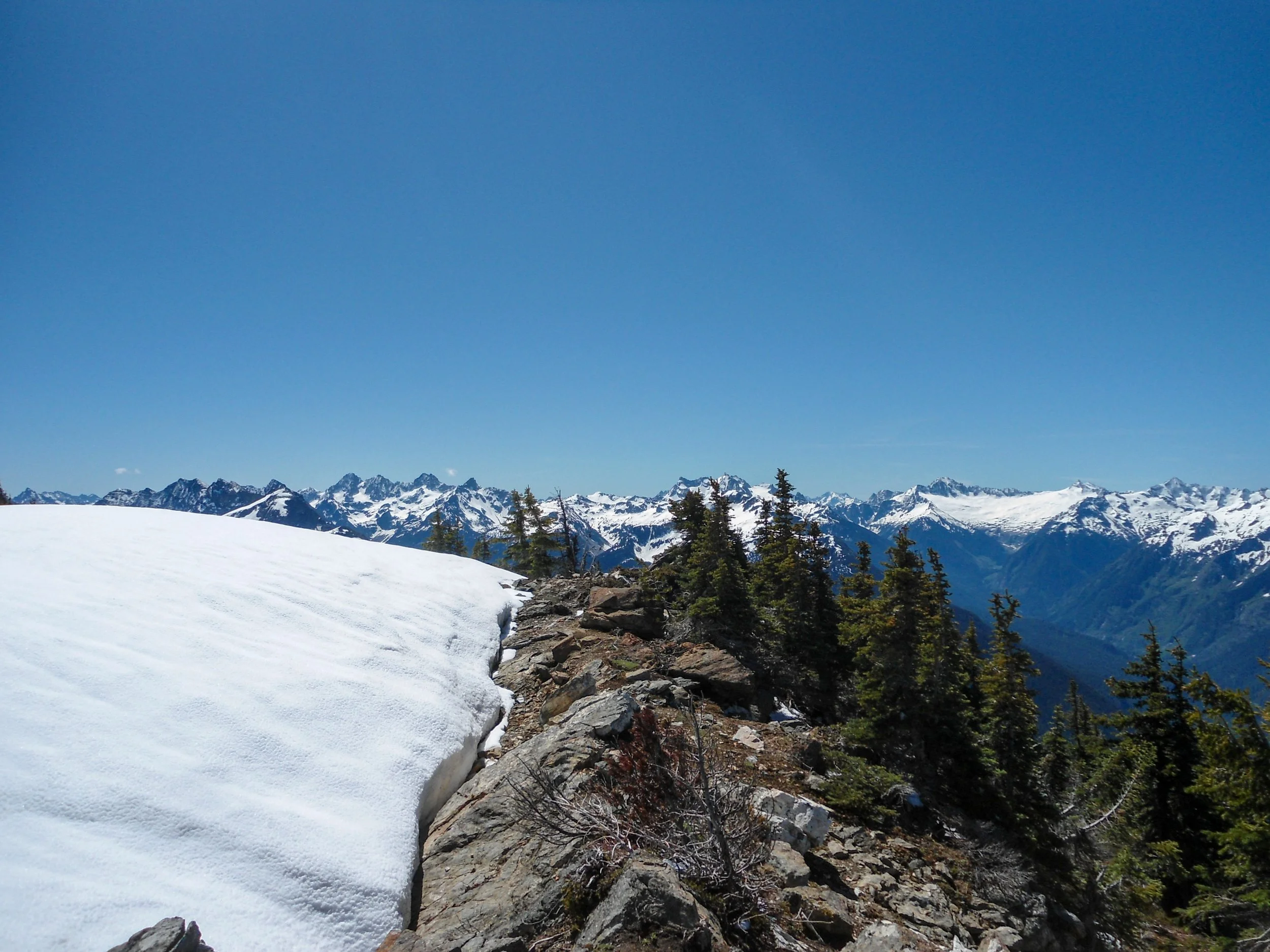
Ruth Mountain Trail
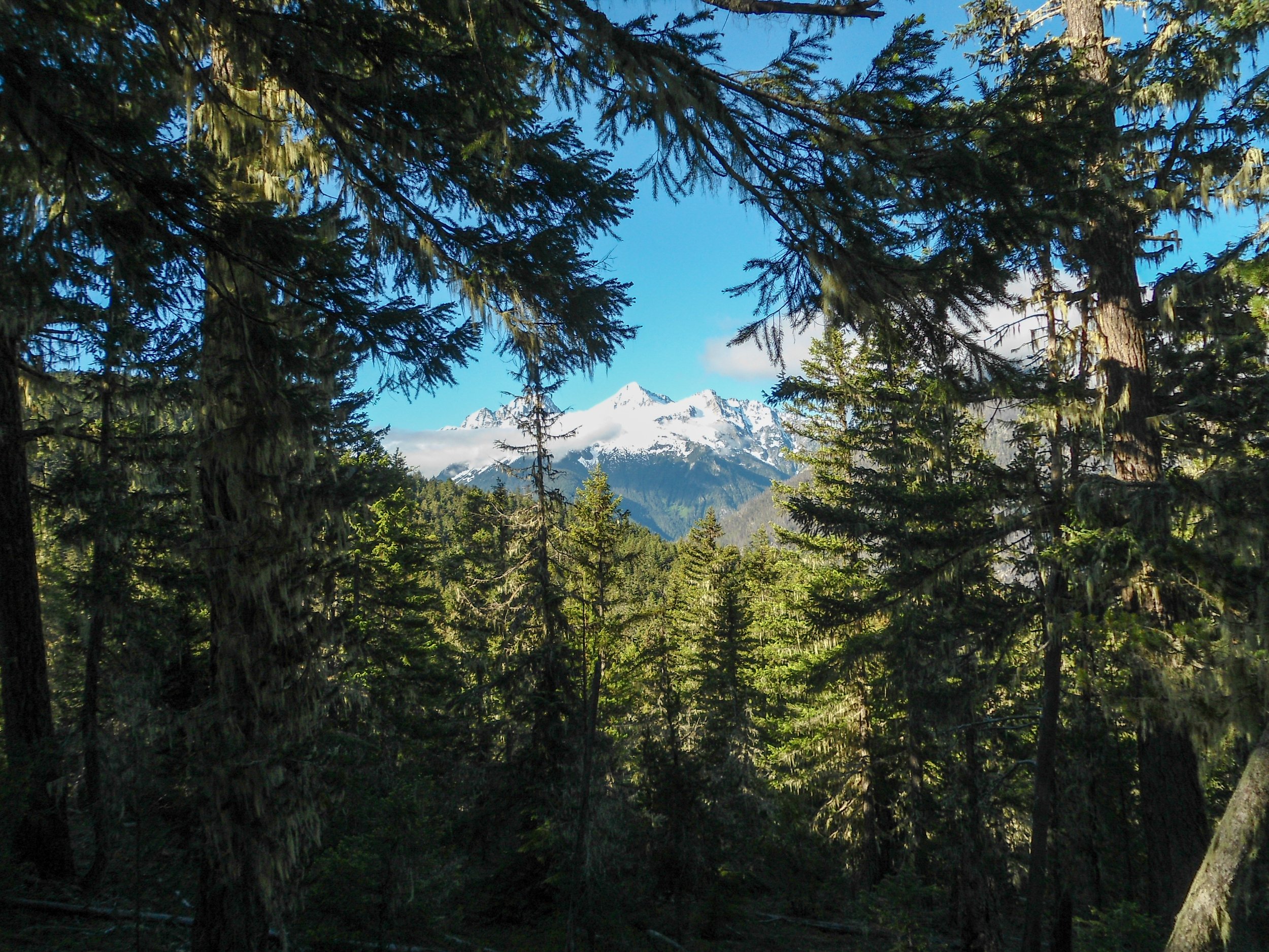
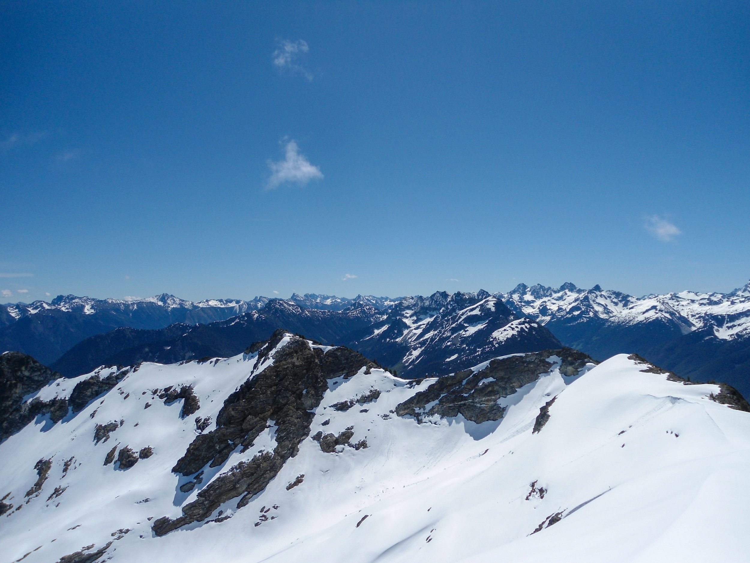
Glimpse of the nearby peaks
Up we go
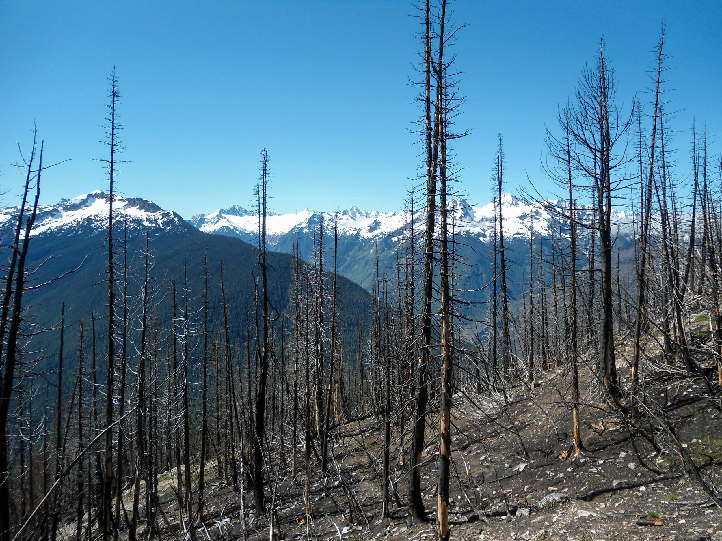
Burn zone views
Entering the lush meadows
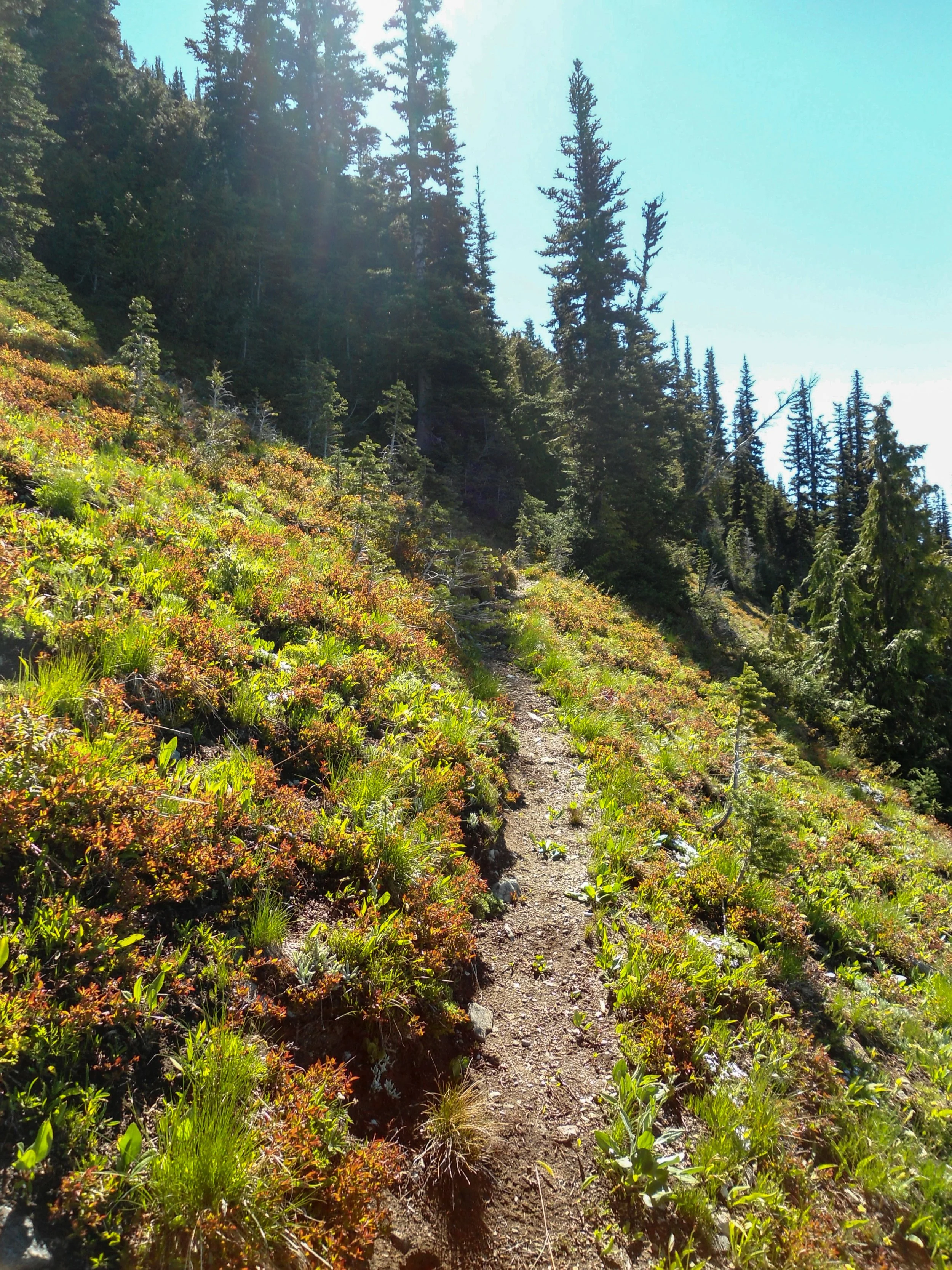
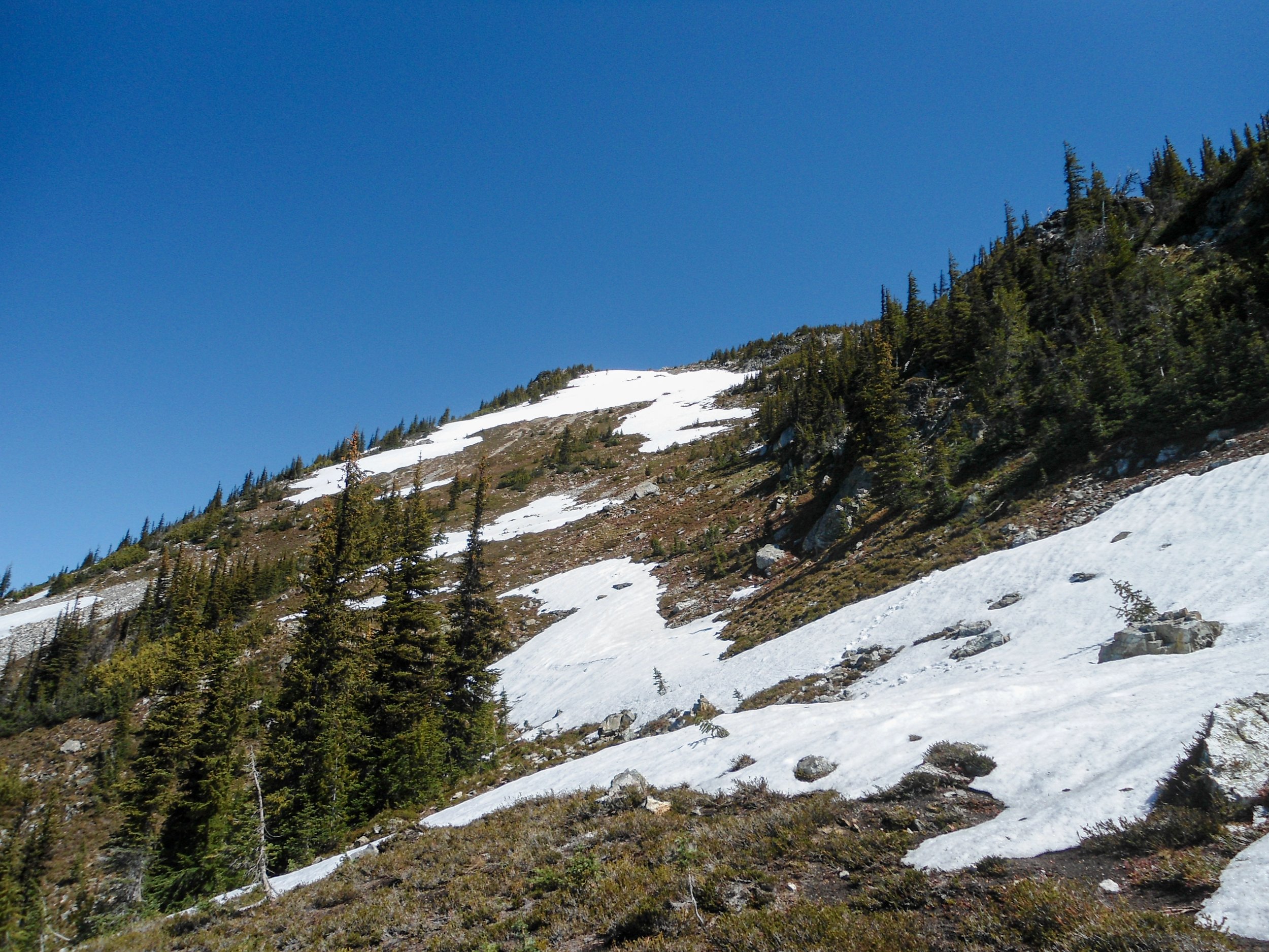
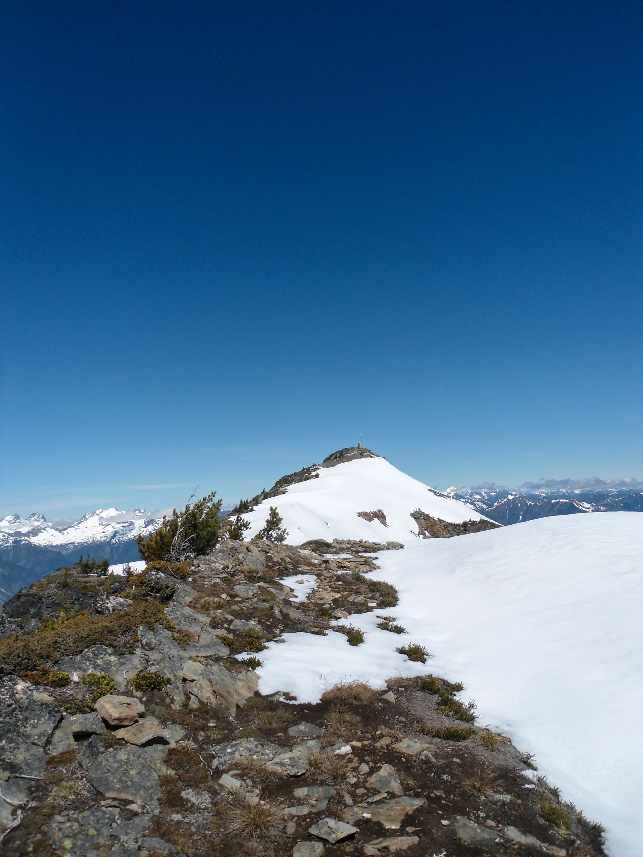
After a series of steep switchbacks, the trail flattened as I headed northwest towards Ruby Mountain. I soon put the burn zone behind me as I entered more traditional lush meadows. As I ascended above 6000’, the entirety of the North Cascades began to appear behind me. Eldorado, Boston Peak, Buckner Peak, Sahale Peak, and so many more dominated the skyline to the south. Another set of steep switchbacks put me at 6,700, and looking up at a steep patch of snow situated on the route. This was the one and only snow section. I really didn’t feel like putting on my boots, so I opted to keep on my trail runners and kick steps into the icy snow. Probably not the smartest move, but it got the job done. Once above the snow patch, I found myself on the ridgeline and looking towards the true summit. Snow covered the ridgeline's edge, so I opted to stay low and traverse towards the summit. After a few crummy scree sections, I found myself on the summit!
Looking towards the snow patch and the upper ridge
Looking towards the summit
Ridgeline views
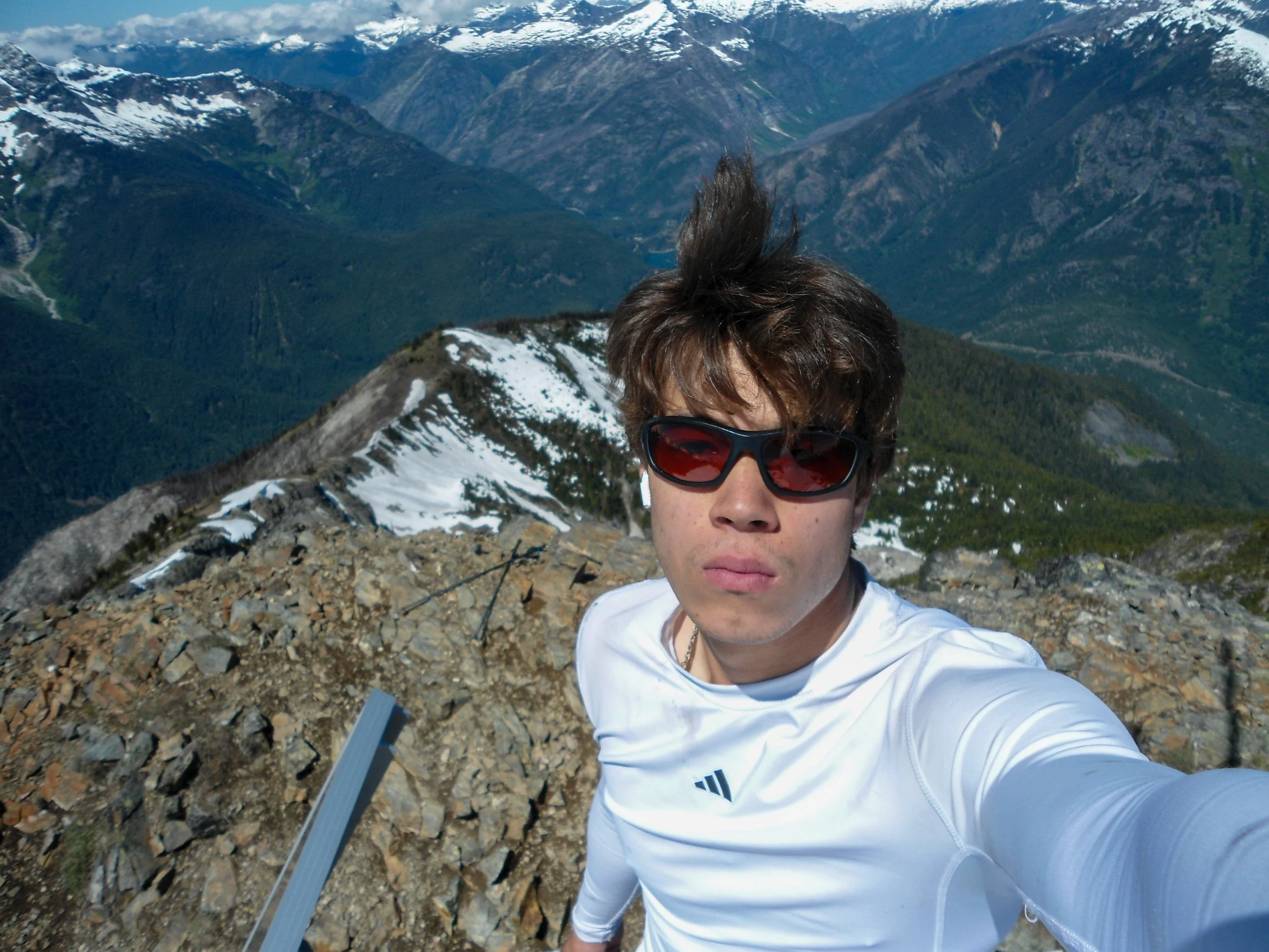
Ruby Mountains’ prominence was felt on the summit, from the harsh winds to the panoramic views. Everything was visible: Baker, Shuksan, The Pickets, Hozomeen, Jack, Snowfield, Ross/Diablo Lakes, and so much more. One could spend hours just looking at the vastness of the North Cascades. I spent about 30 minutes up top; the summit was quite chilly.
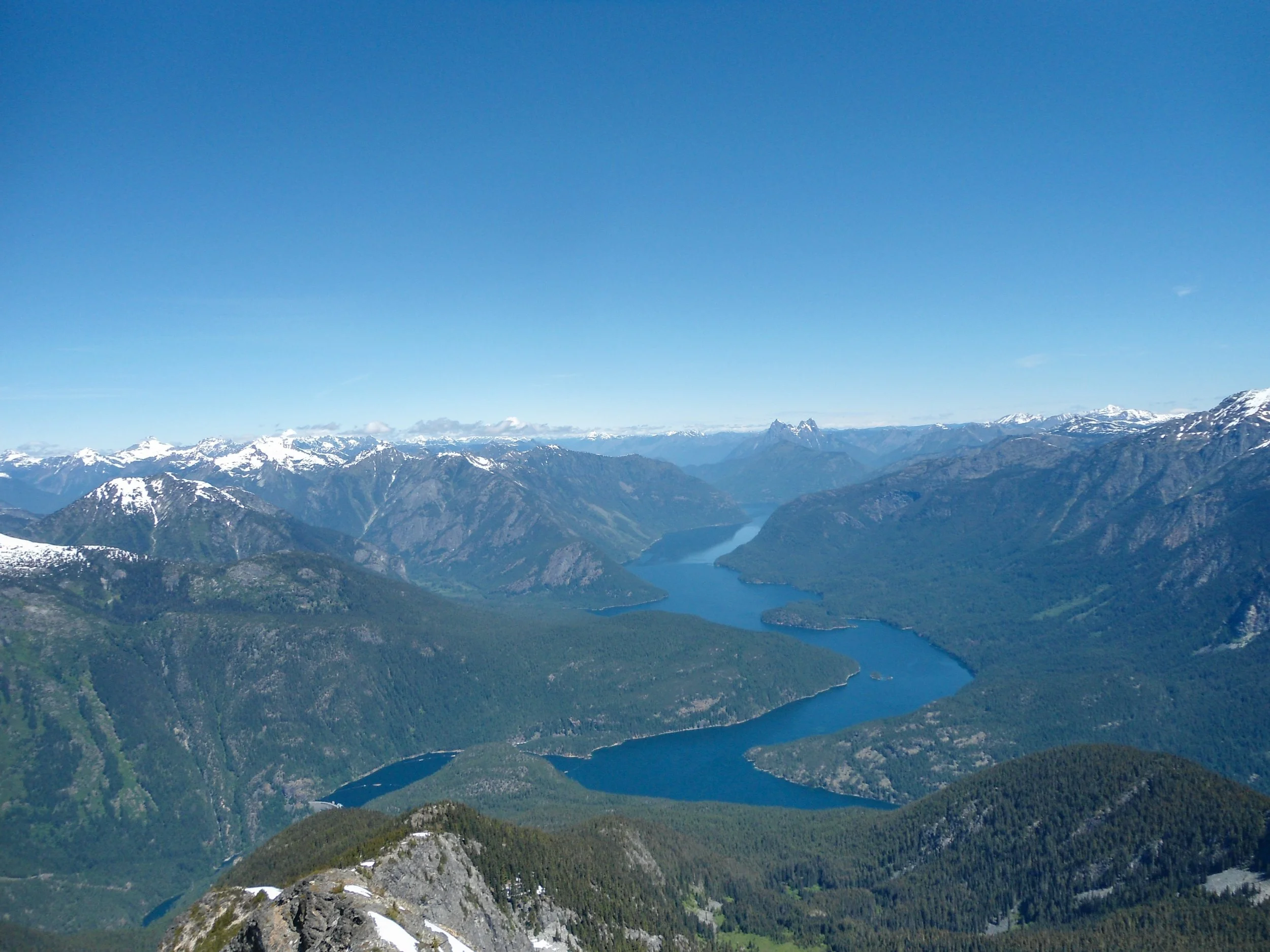
Ross Lake and Hozomeen
The Needle
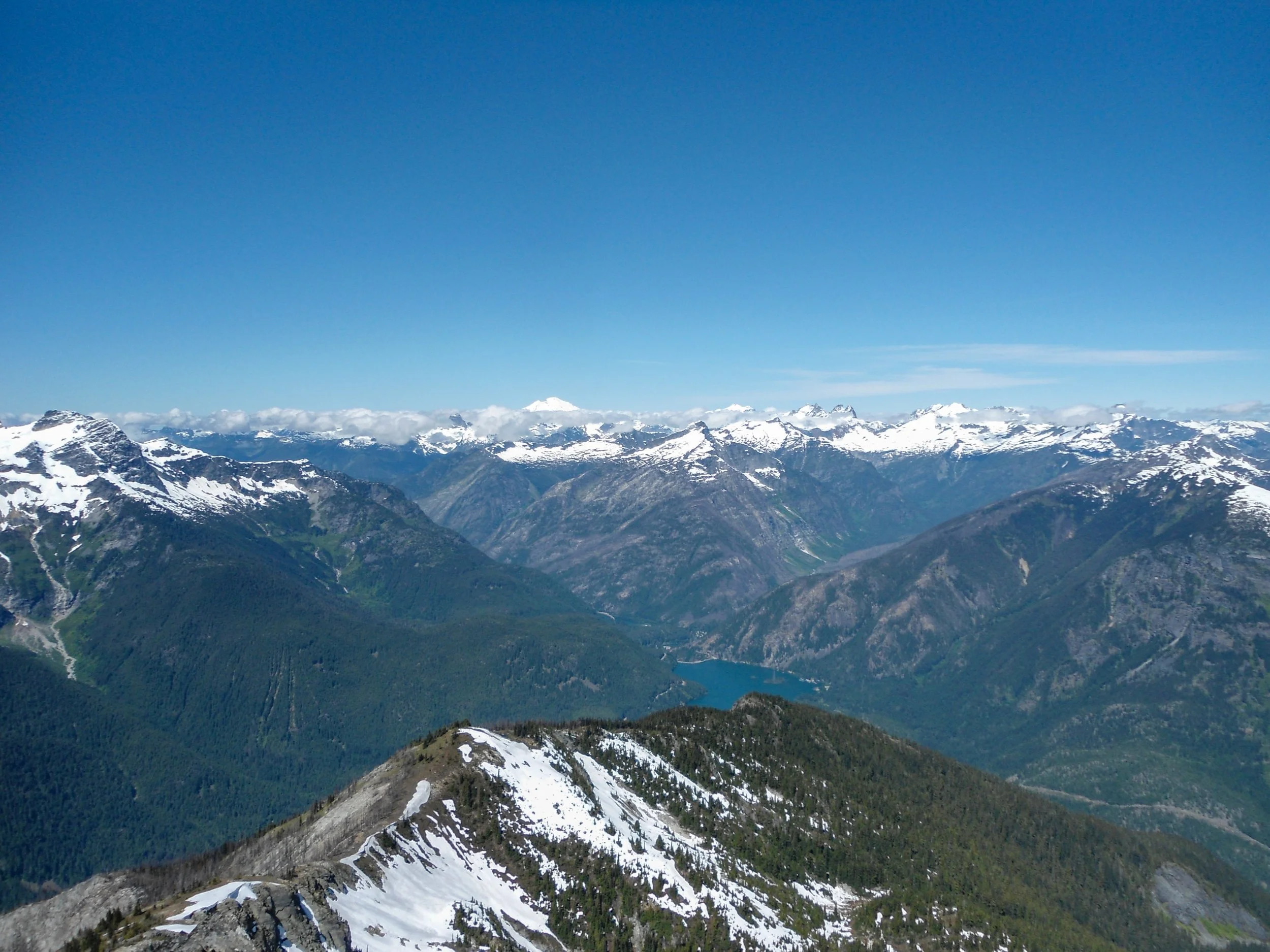
Baker
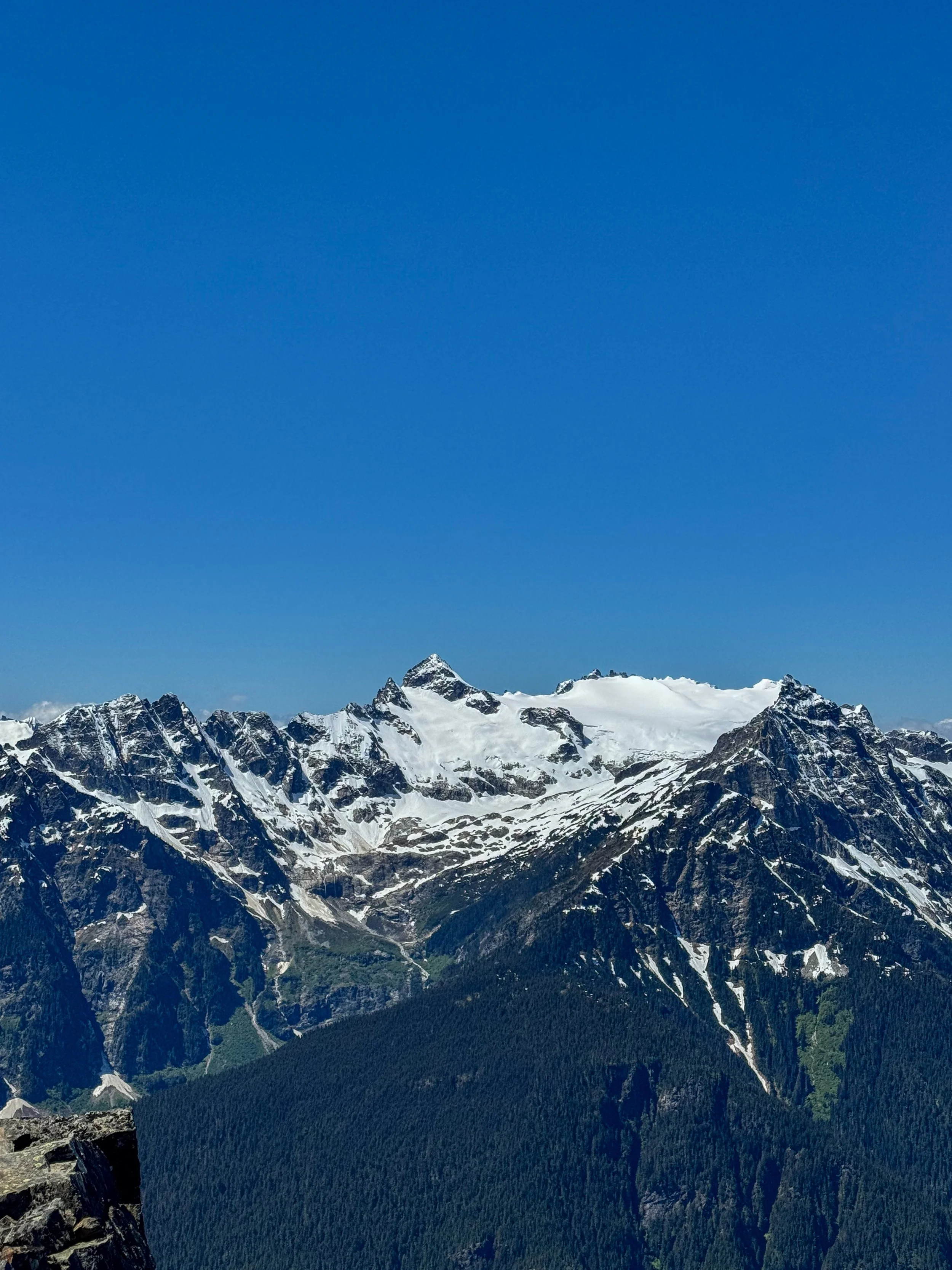
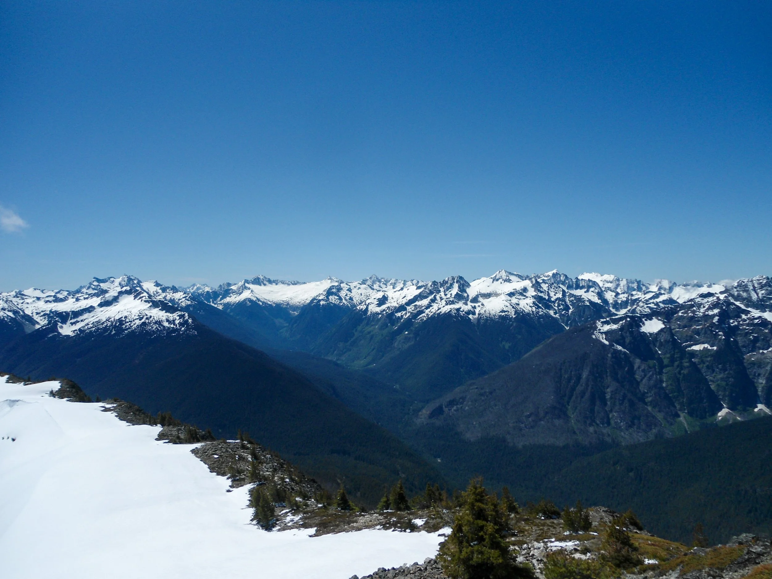
The snowy backside of Ruth
Logan and friends
Twas a bit windy
On the descent, I decided to bypass the snow section by descending a scree field to the right of it before traversing across the snow patch to get back onto the route. If you’re doing this hike in the next few weeks, I’d bring microspikes. Besides that, nothing of note happened on the descent, and I arrived at my car at 4pm, 10 hours after I started.
Overall, this is an amazing early-season hike, and an awesome training hike for Baker, Ranier, and Adams. An absolute must do hike within the North Cascades
Finals Stats: 17.5 Miles - 6,550’ Elev Gained - 10 Hours C2C