Sloan Peak WA
Aug 5, 2024
Hi, we're the Mountain Goats and today we climbed Sloan Peak via the Bedal Creek Route. We decided to car camp to get an early start. After waking up at 3:15 AM we got on the trail at around 3:45 and began heading up. The first 1.5 miles up to the split is fairly flat as you head through the woods and underbrush that covers the trail. 1.5 Miles in, and you've reached the Sloan Peak climbers trail, cut off the Bedal Creek trail and head up to the left.
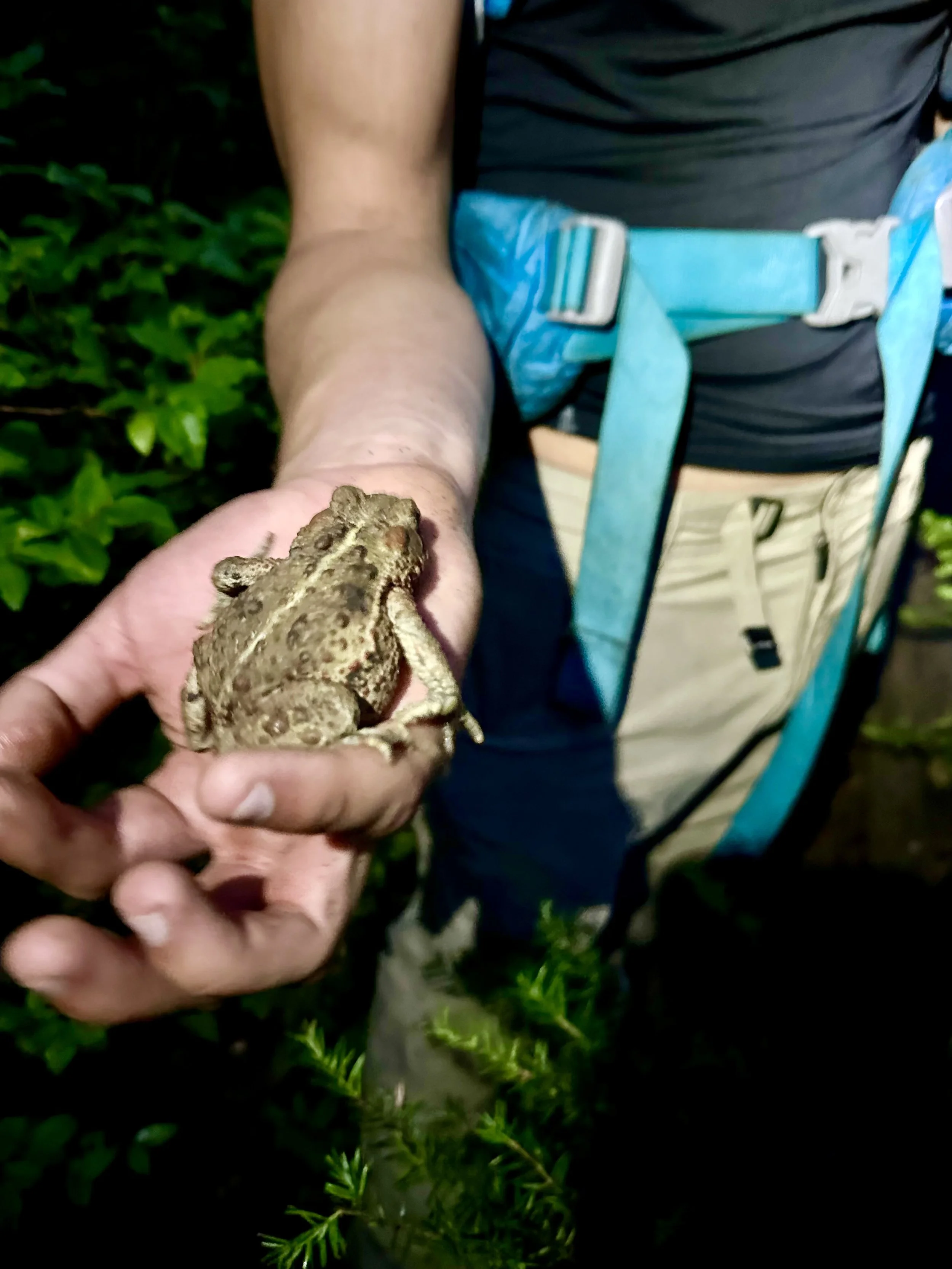
Early morning frog
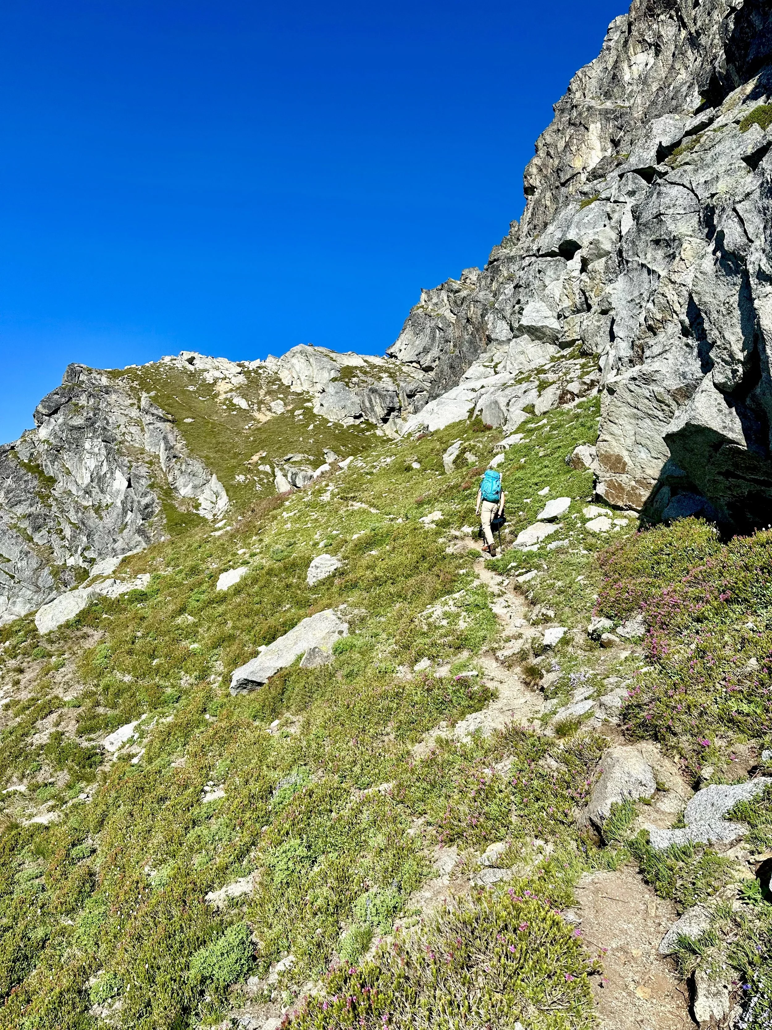
Once on the Sloan Peak climbers trail, the route steepens as you gain approximately 1000' vertical feet in .5 miles. This part of the trail is in the woods and can be tricky to follow. Luckily there are a ton of trail markers so even in the dark we were able to stay on the trail fairly easily. Once at around 4,900' feet you break out into the meadows where you get your first glimpse of Sloan Peak. The trail then slightly flattens out as you traverse to the right towards the base of the glacier.
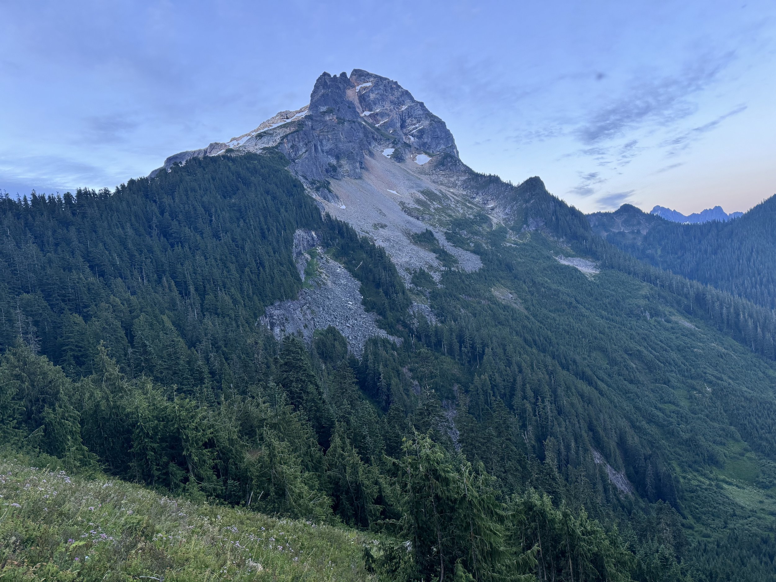
Sloan from the meadows
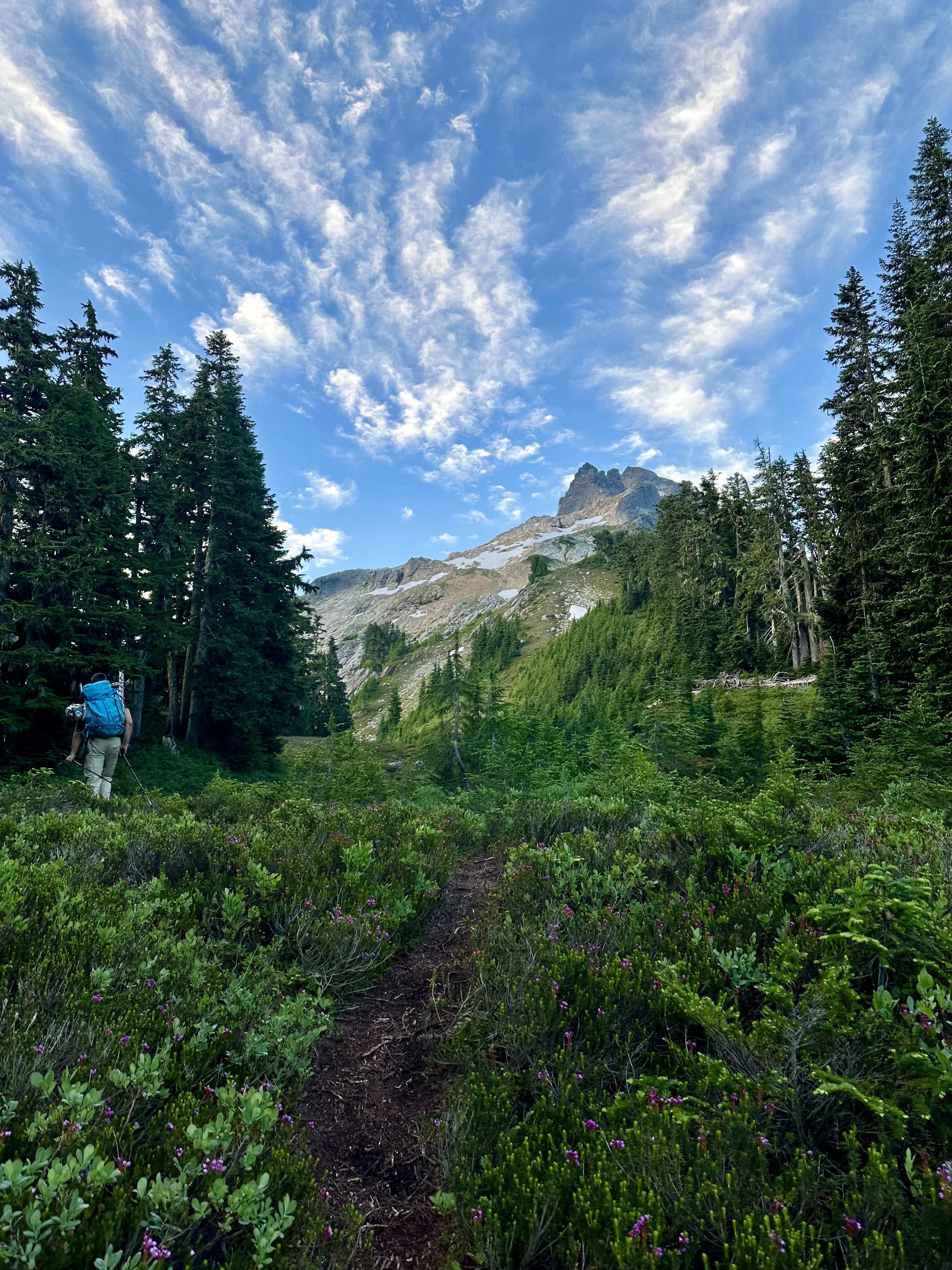
Entering the upper meadows
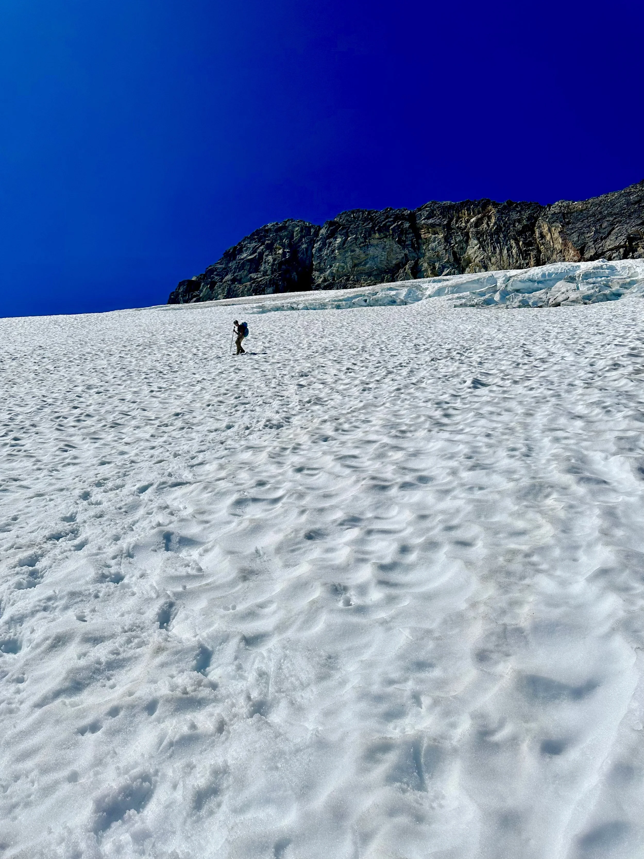
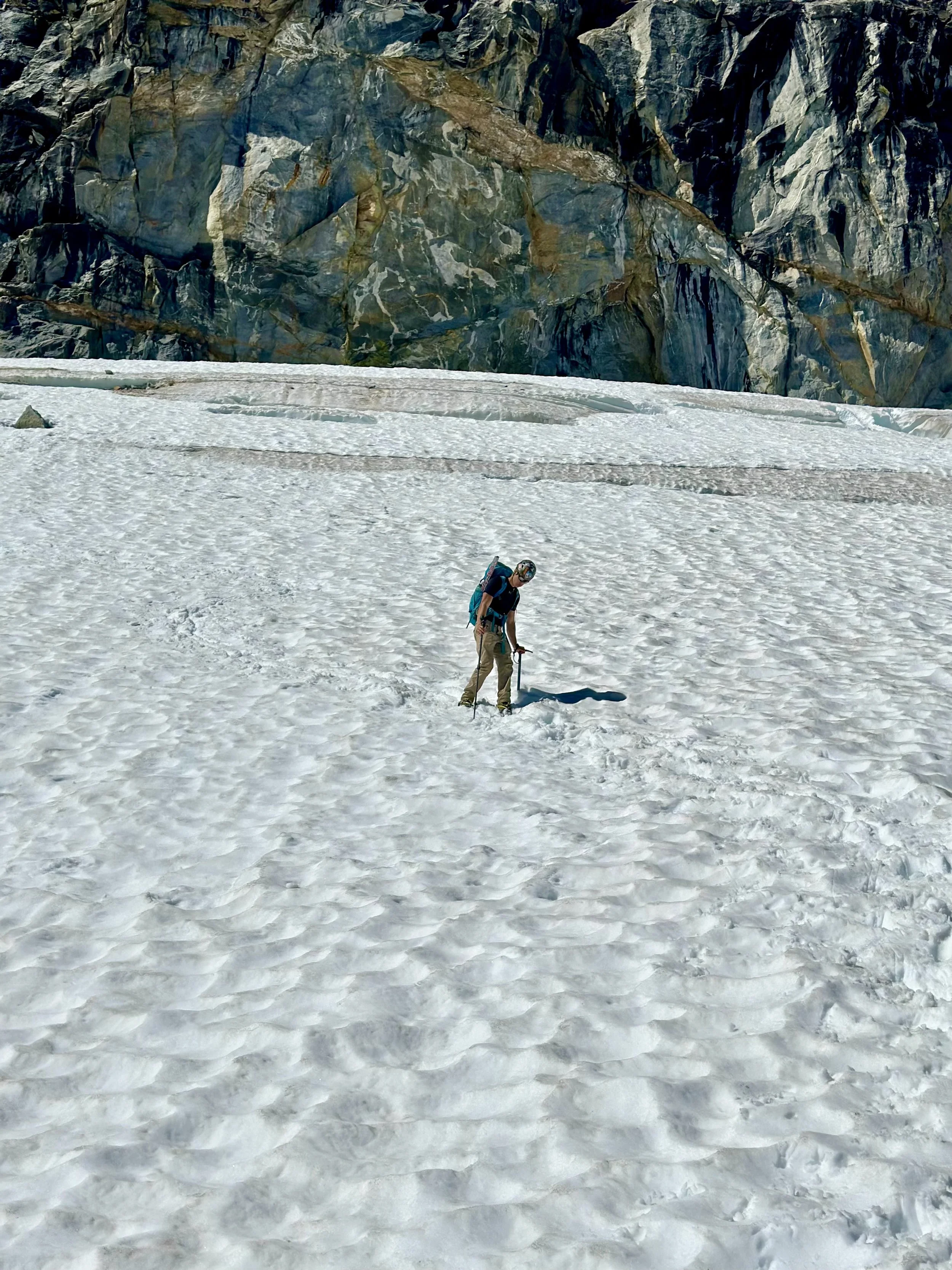
The trail heads past a small tarn, which is a great spot to take a picture of Sloan Peak and its reflection. Following the tarn the trail heads through the meadows. This is a great spot to refill water before getting to the glacier. Following the meadows continue heading SE onto flat rocky slopes. At around 5,800' feet you'll get to a snowfield, with steep rocky slopes on each side. Ascend the right slope before hopping onto the snowfield. We popped on crampons before getting on the snowfield due to icy conditions. Once above the snowfield we took off our crampons and got back on the rock. Simply follow the rocky slopes up to the bottom of the glacier always heading SE and up. The bottom of the glacier starts at around 6,200 feet. The path up was pretty obvious and due to the lack of crevasse we ended up not roping up. It's worth noting that the 3 other parties that came up behind us ended up roping up. The route heads south as you traverse the glacier heading towards the back side of Sloan Peak. The route doesn't go through any crevasses but right before getting off the glacier you traverse 50 feet above 2 decent sized crevasses.
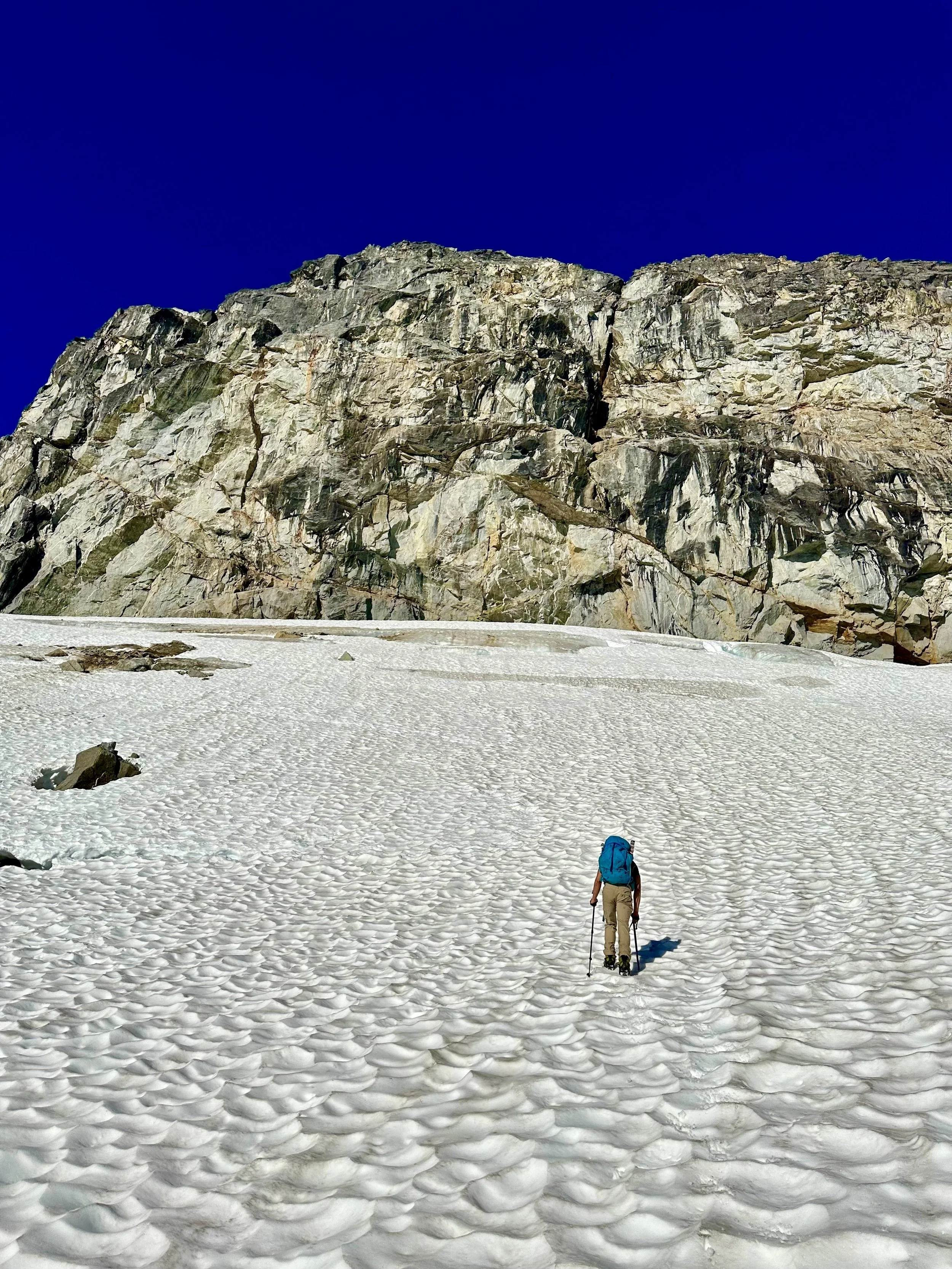
Heading up the glacier
At 7,200' feet you finally get off the glacier and get on the ridgeline. From the ridgeline the trail heads to the right as you traverse the backside of Sloan Peak's summit block. Once under the summit block, follow the trail up the obvious chimney. Once at the top of the chimney the trail drops down before ascending all the way up to the true summit. The trail is pretty obvious and should have no problem being followed. The scramble up is moderate class 3 and is pretty basic. With that being said, I would highly recommend wearing a helmet.
Above the glacier
We were able to summit at 9 AM, 5 hours after leaving the trailhead. The view from the summit is awesome. Glacier Peak dominates the skyline, along with the other Mountain Loop Highway Peaks.
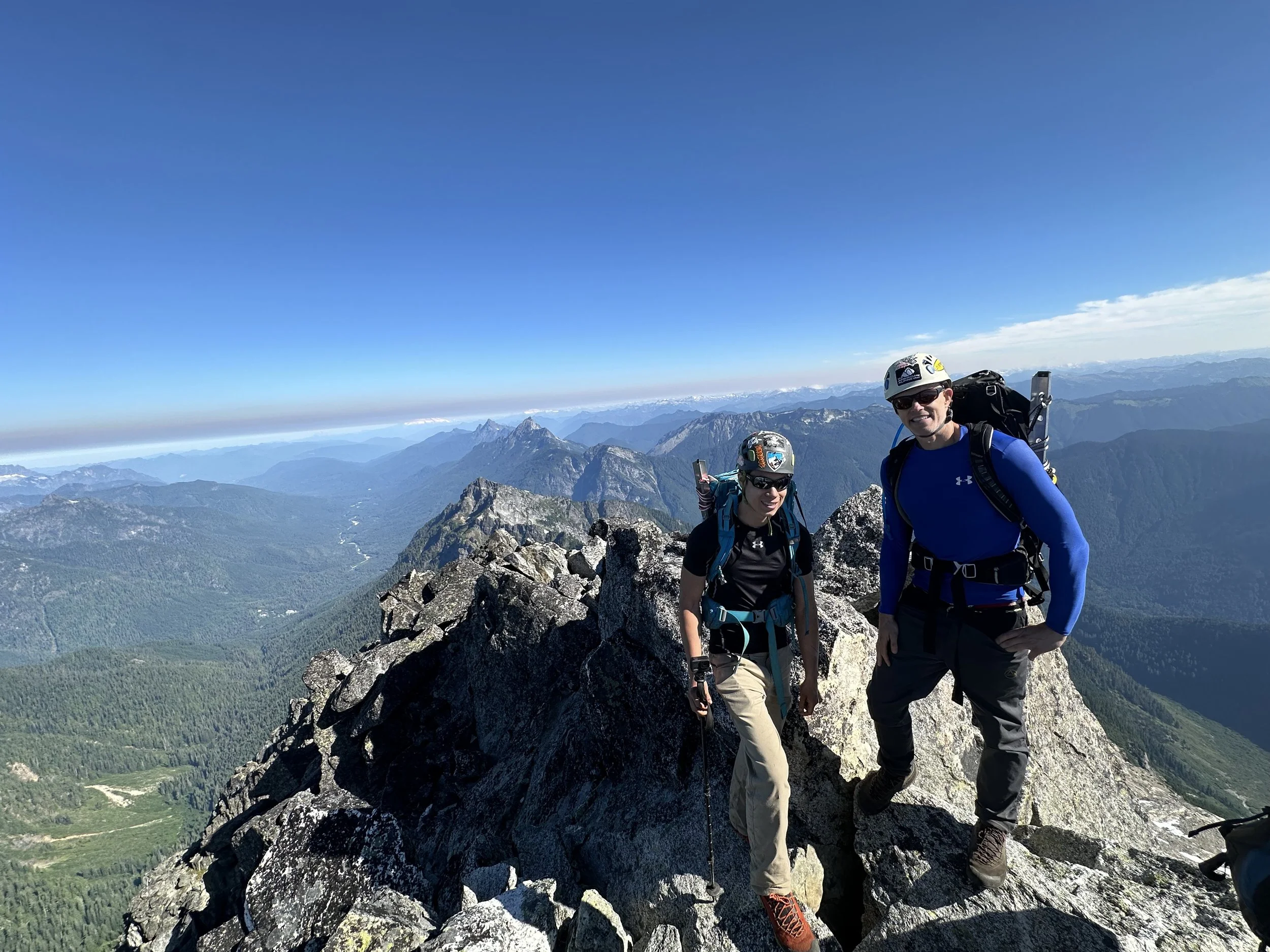
Summit shot
We began descending around 10 AM and were able to get off the glacier before 11:30 AM. Descending down the flat rocks down to the snowfield at 5,800' was pretty tedious. We ended up trying to glissade down the snowfield, which was a bad idea. The slope was way too steep, and the snow was too icy, even so we were able to make it down okay. From there on out it was just a slog down the steep terrain to the car.
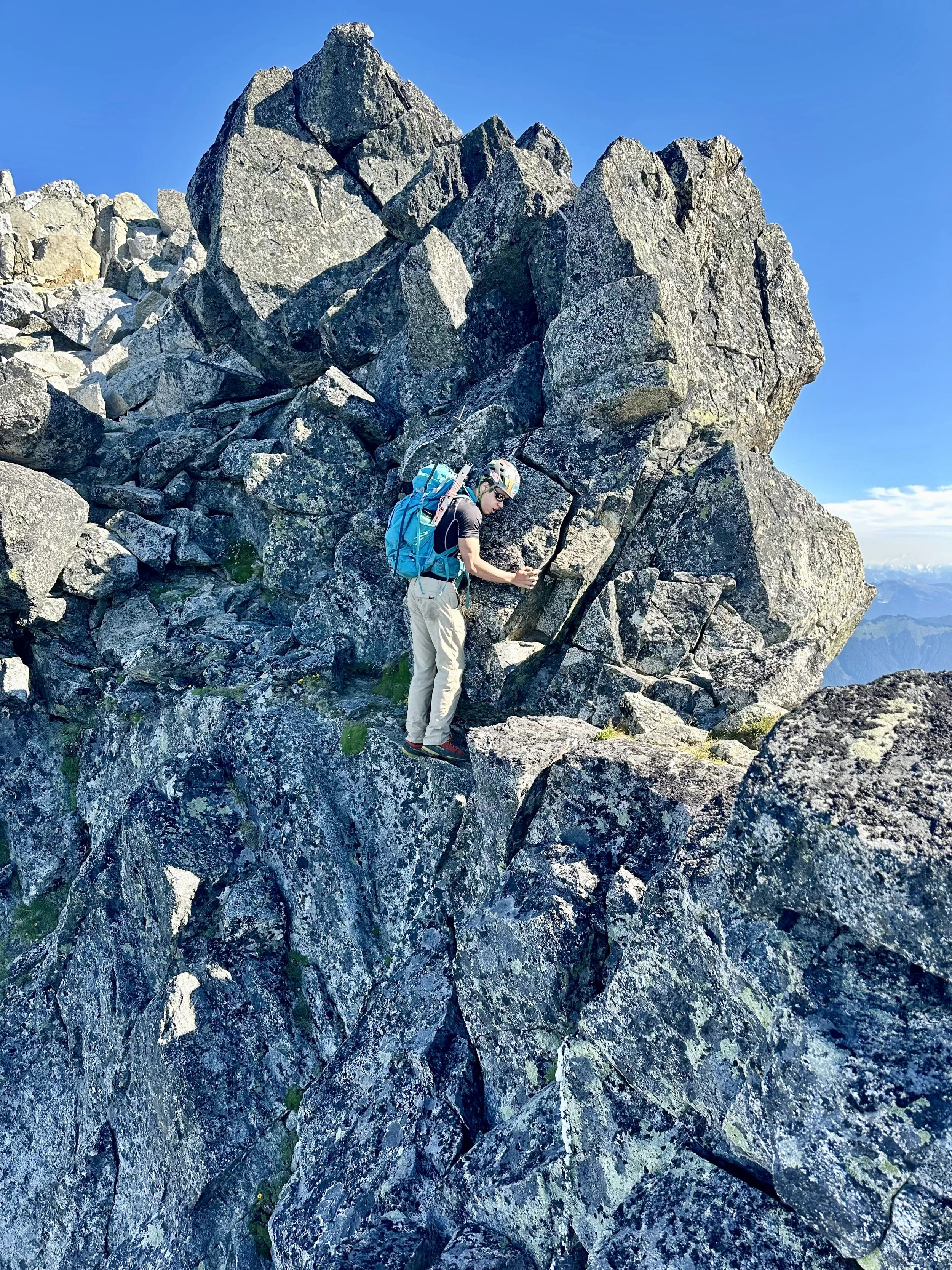
Coming off the rock
Descending down
Staying focused
Overall, this is a great basic alpine climb for a group trying to practice glacier travel. I'd highly recommend doing this climb in a day, as lugging a heavy pack up to the meadows sounds awful. Even with this being a basic glacier climb, people have died climbing Sloan Peak, so make sure you bring the correct gear and are comfortable in potentially dicey conditions. Happy hiking!
Final Stats: 9 Miles - 5,200' Elev Gain - 11 Hours Car to Car