Jack Mountain WA
9/18/26
Jack Mountain, nicknamed the King of the Skagit, is one of the North Cascades' premier peaks and Washington's 14th-highest peak. Typically, it takes 2-3 days to reach the summit; however, after a summer of getting in tip-top shape, I decided to attempt the rarely done one-day push up Jack Mountain. Jack has two routes: the iconic Nohokomeen Glacier and the standard South Face. I chose the South Face, which is notorious for some of the worst rock in WA.
After getting dinner with friends, I left Bellingham around 7 pm and rolled into the Canyon Creek Trailhead just after 9. With my wake-up time looming, I quickly blew up my air mattress and got some much-needed sleep. I woke to my alarm at 12:40 am, geared up, and hit the trail at 1. After starting on the Canyon Creek Trail, I crossed Granite Creek before veering onto the Jackita Ridge Trail and hitting Canyon Creek. I didn't realize there was a creek crossing on this climb; still, I took off my shoes and waded across. The frigid water definitely woke me up.
After crossing Canyon Creek, the grade steepened as I ascended Jackita Ridge through a series of tight switchbacks. I was pleasantly surprised by how nice the trail was; no obstacles, just a soft dirt layer. After 2 hours of hiking in the dark, I reached the Jackita Ridge/Crater Trail split at 5,300’. I continued left along the Crater Trail as I left the tree zone behind and entered the alpine. A mile after the split, I reached an unnamed lake along the trail, a popular camping spot. Half a mile later, I reached the end of the official trail as the route left the Crater Trail behind and headed towards the receding Jerry Glacier. First, I had to ascend meadowy slopes and slabby rocks in the dark; luckily, the terrain was mellow, and I could pick out a route without any problems. At 7,200 ’, I topped out; Crater Lake stood above me to my left, Jerry Glacier directly in front, and Jack Mountain in the distance, hidden in the darkness.
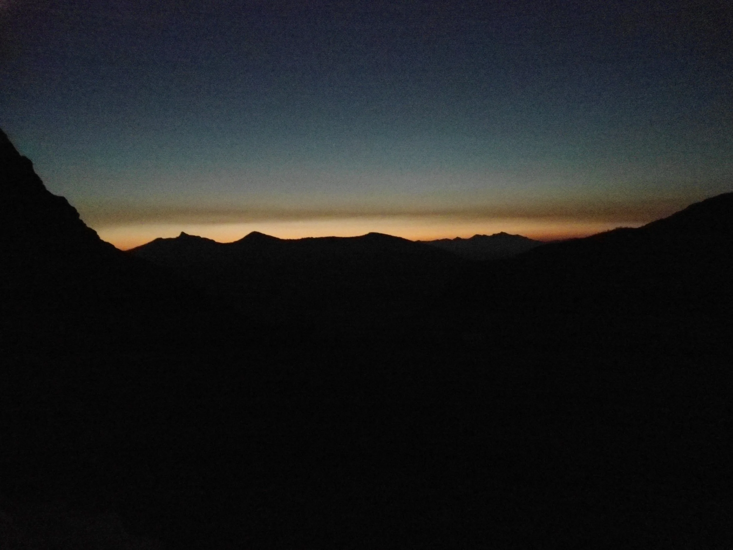
First light
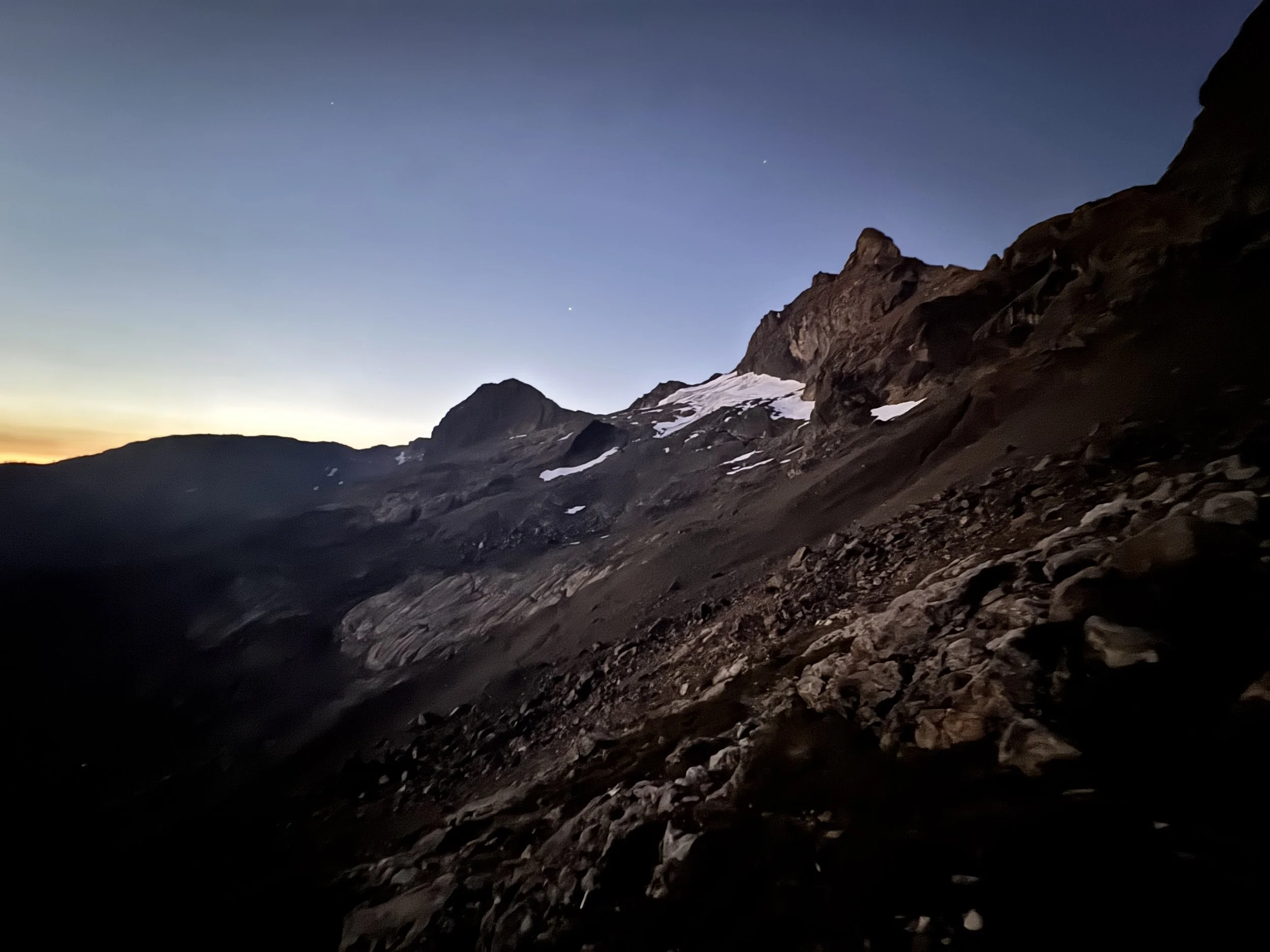
Looking back at Jerry Glacier
After a quick break, I began navigating Jerry Glacier in the dark. Luckily, there were a ton of GPS tracks, and I stayed low and bypassed any snow sections. Still, stumbling through loose, slippery rock in pitch blackness wasn't ideal; I was psyched when the first light began to shine along the horizon. After dropping to 6,400’, I reascended to 6,550’, where I got my first glimpse of Jerry Lakes and the King himself, Jack Mountain, in the distance. From there, I dropped down to Jerry Lakes, picking up a nice climber's trail halfway down.
Jerry Lakes (5,900’) is a collection of 3 Alpine Lakes situated between Crater and Jack Mountain. I was blown away by how pretty these lakes were: stunning blue water, small islands, and the imposing Crater Peak in the background. By now, it was finally light enough to turn off my headlamp, thank goodness. From Jerry Lakes, I ascended 600’ to a ridgeline which stood in between Jack and me. Luckily, I picked up a climber's trail which made this steep section easier. After topping out at 6,500 ’, I immediately dropped 800’ into the valley below at the base of Jack Mountain. There was no trail here, true cross-country travel.
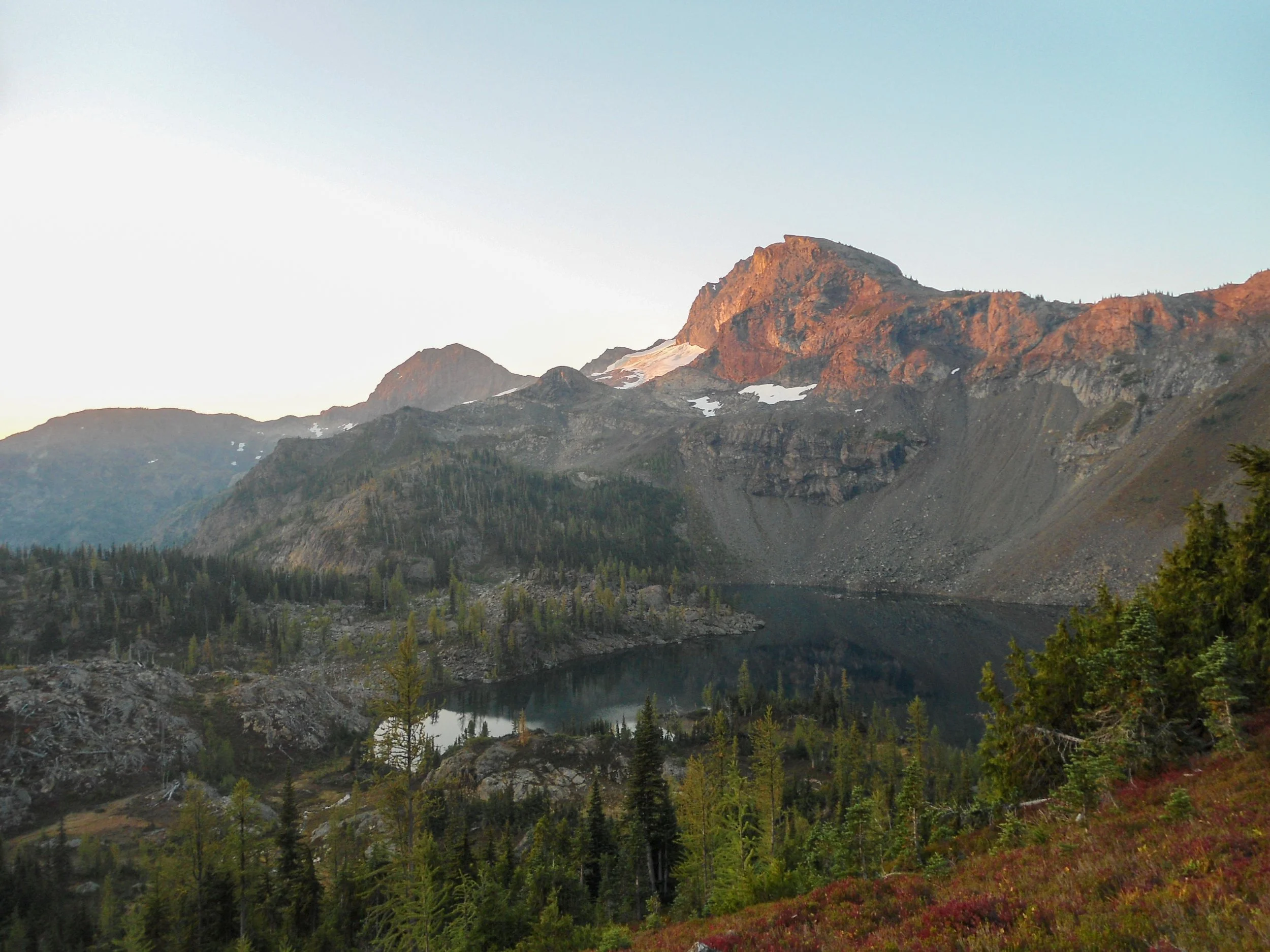
Looking back
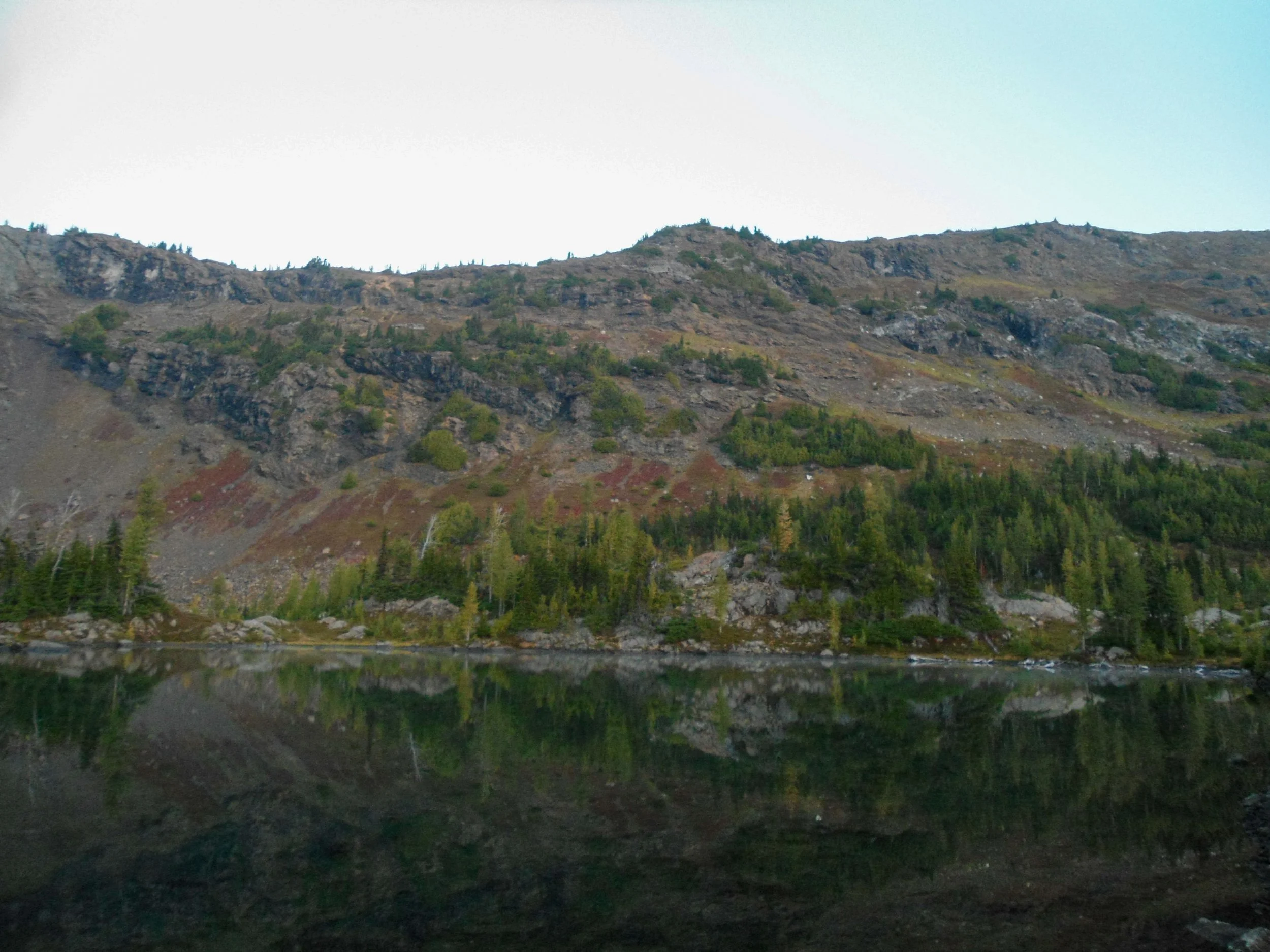
Jerry Lakes
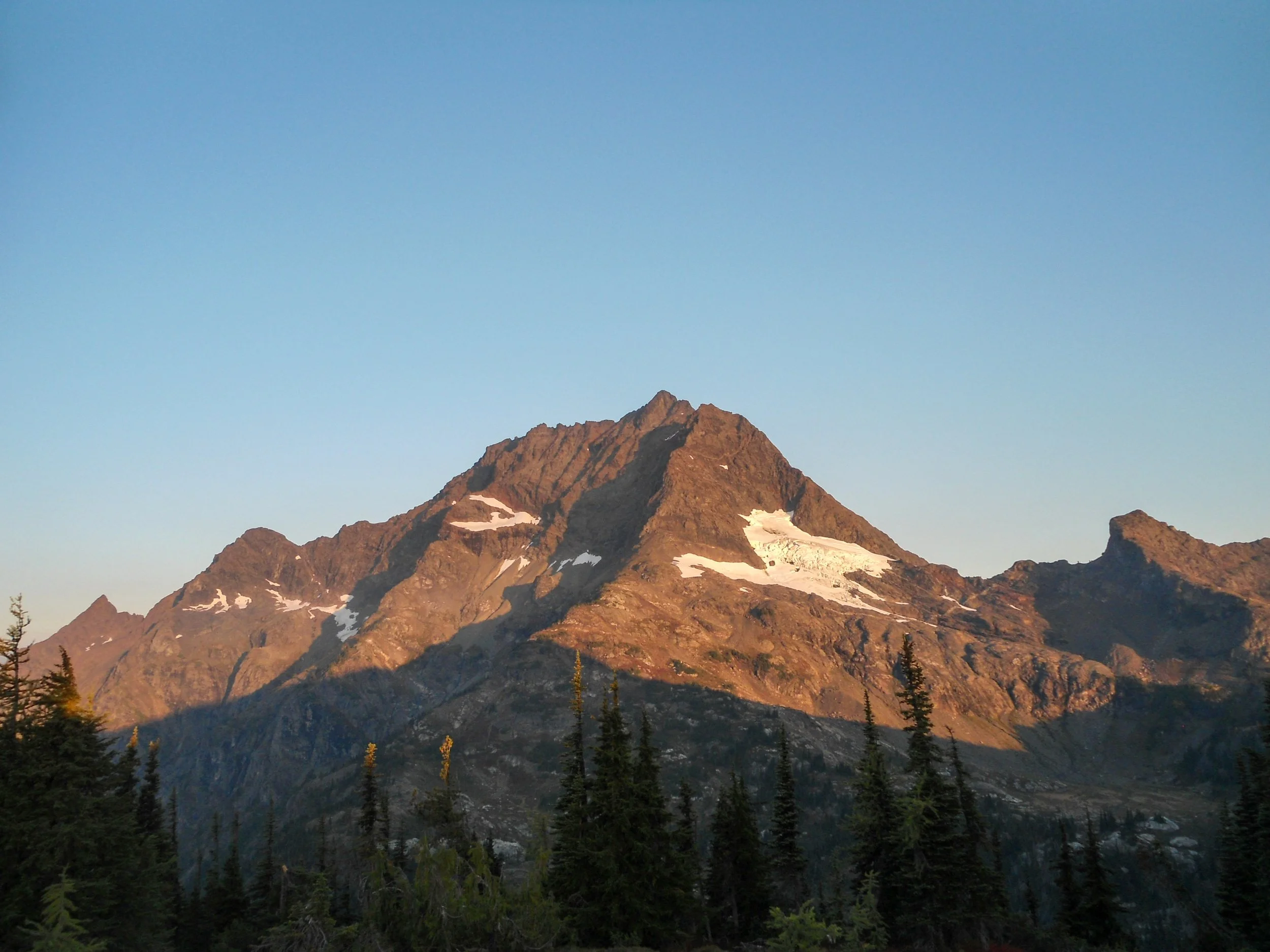
Jack Mountain
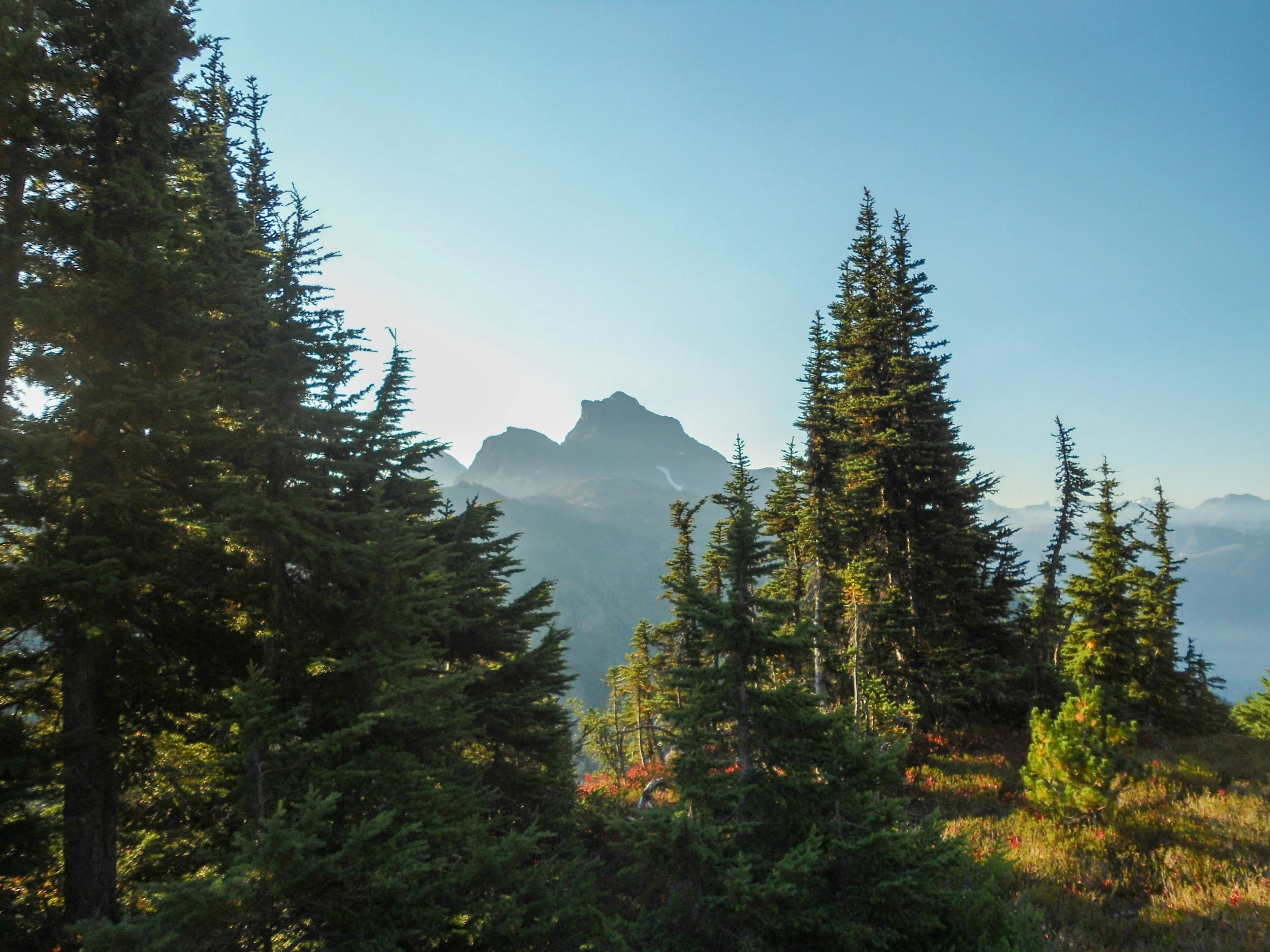
Along the ridgeline
The valley was stunning; the fall colors mixed with rushing water from an unnamed creek, creating a vibrant, picturesque scene. This was the last running water source, so be sure to top off your bottles before making the summit push. From the valley floor, I shot up to 7000’ navigating through meadowy slopes and slabby rock sections. I picked up a faint path here and there, but mostly it was cross-country travel. At 7,000’, I began to drift northwest as I got under Jack Mountain's upper slopes, side-hilling along steep scree slopes. Stay low; the route is lower than you’d think. After some relatively easy travel, things got harder as I bypassed some late-season snow fingers before reaching the chimney. The second half of the traverse has some serious exposure as the scree fields turn into more compact dirt slopes that are far more dangerous. Good foot placement is crucial along the first traverse, as a slip here would be terrible. The entrance to the chimney is the crux of the climb; one must do a legit Class 4 move onto a slick shelf. Only a small ledge separates you from hundreds of feet of air. Don't fall here. Once above, I continued straight up, navigating easy Class 3 rock. Of course, it wasn’t truly easy, as you can't trust a rock on this mountain to be stable. At around 8,800 ’, I started on the upper traverse as I traversed east towards the summit of Jack. This section sucked as I side-hilled along steep dirt slopes that led straight off the side of the mountain. Again, good foot placement is crucial here. Once past it, I reached the upper ridgeline and got a glimpse of the vast Nohokeem Glacier, definitely the cooler side. I then got on Jack's backside as I scrambled up some slabby rocks reminiscent of Mount Stuart's summit, before ascending boulders all the way to the summit of Jack Mountain. It took me just under 10 hours to reach the summit.
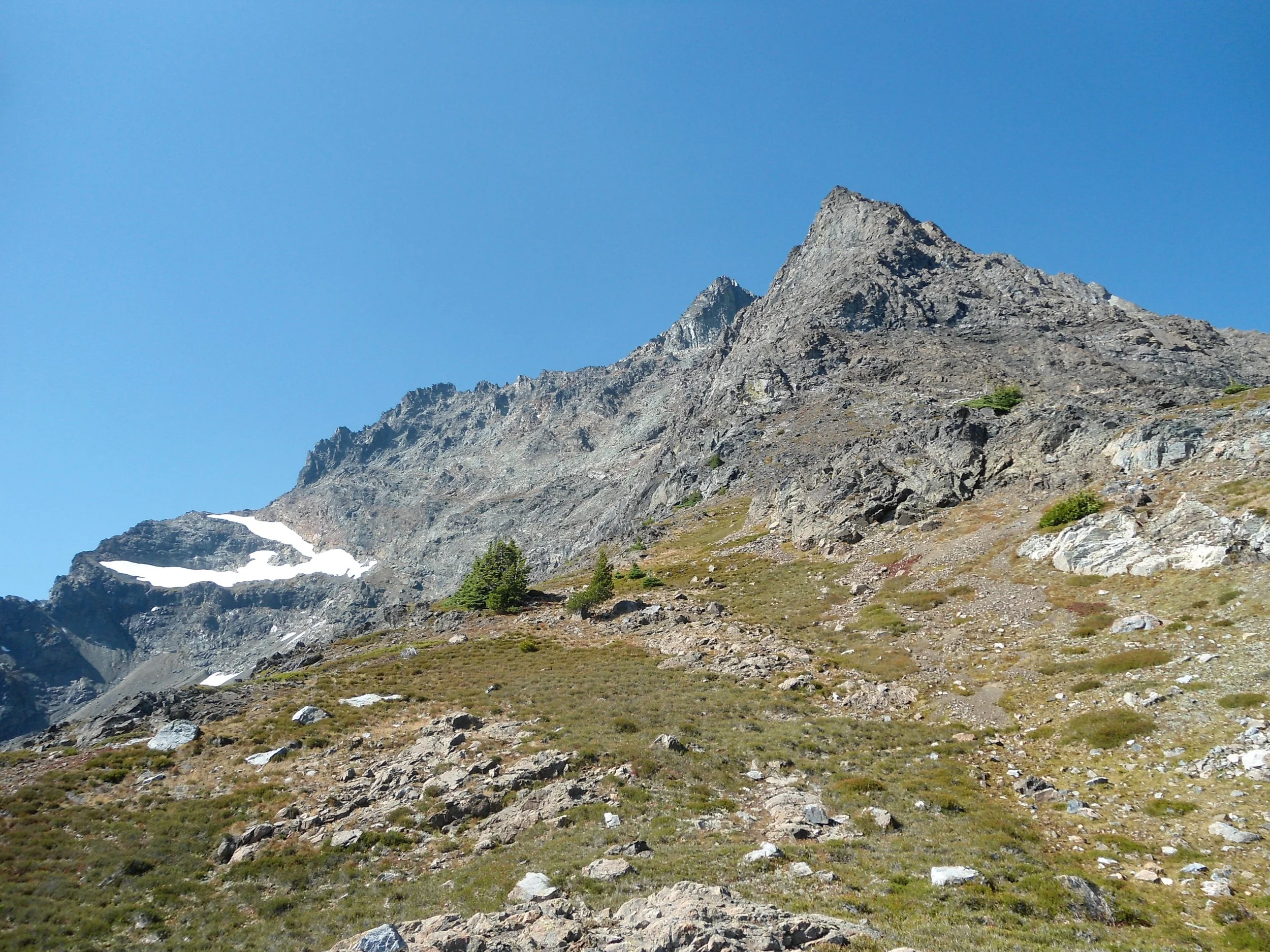
Getting closer
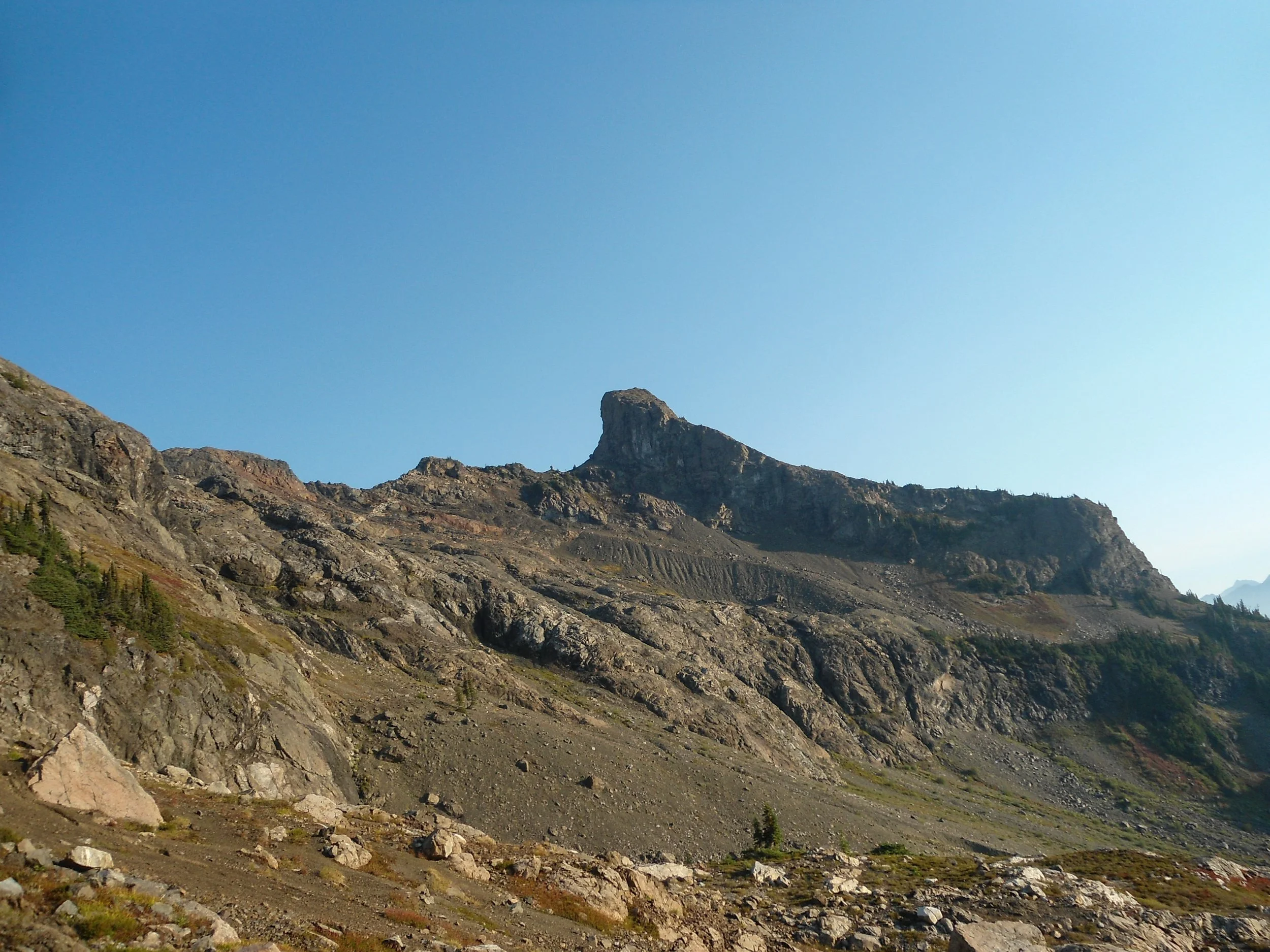
Dope unnamed peak
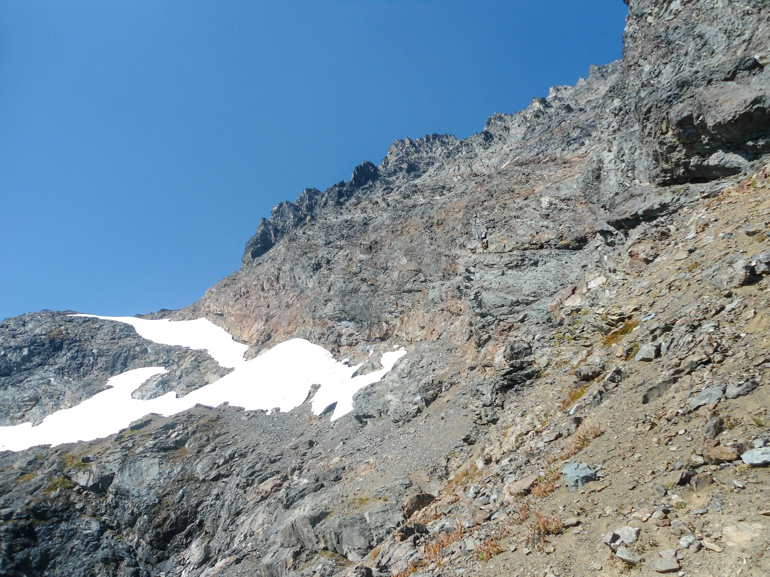
Lots of this
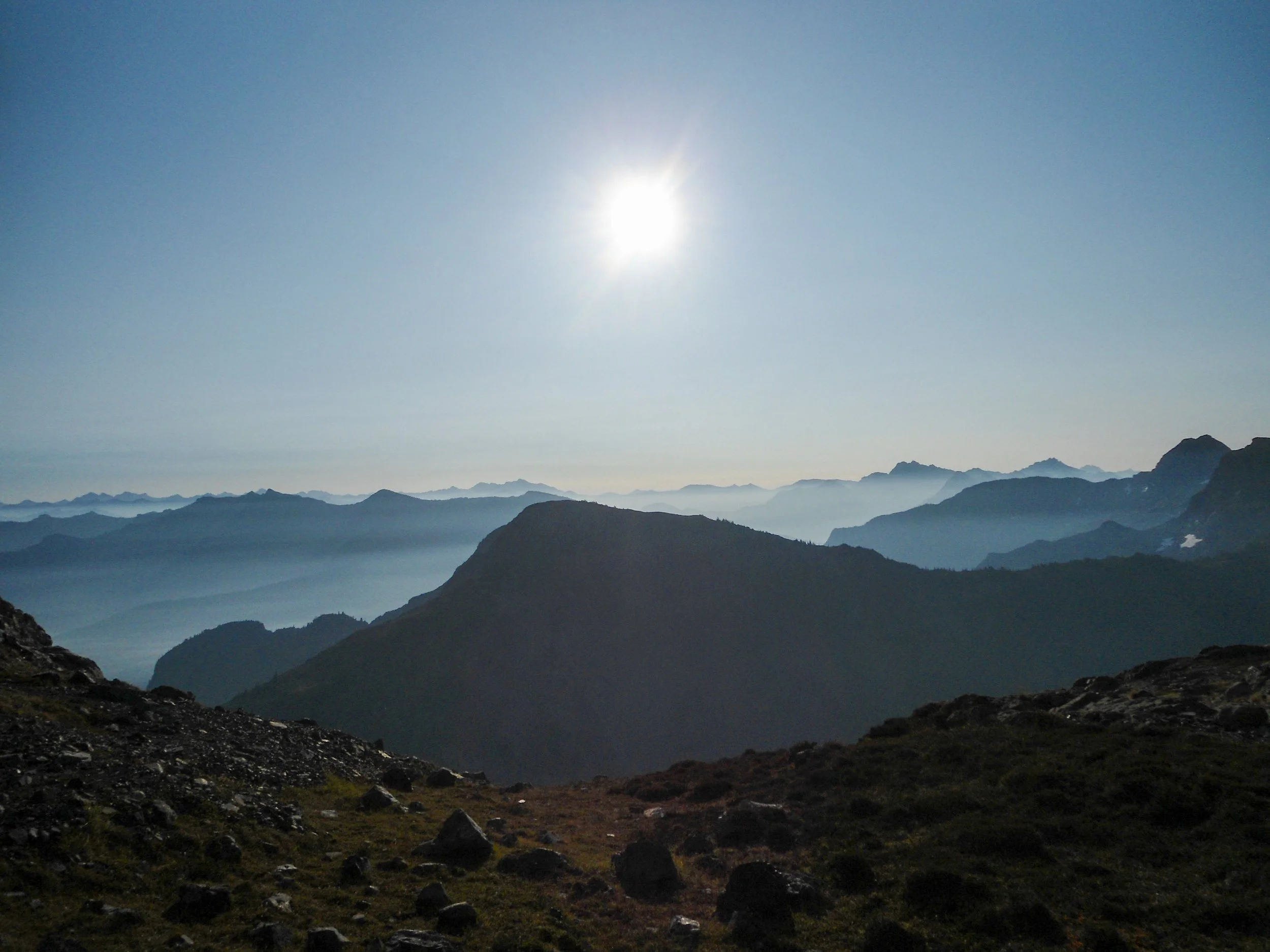
Higher I go
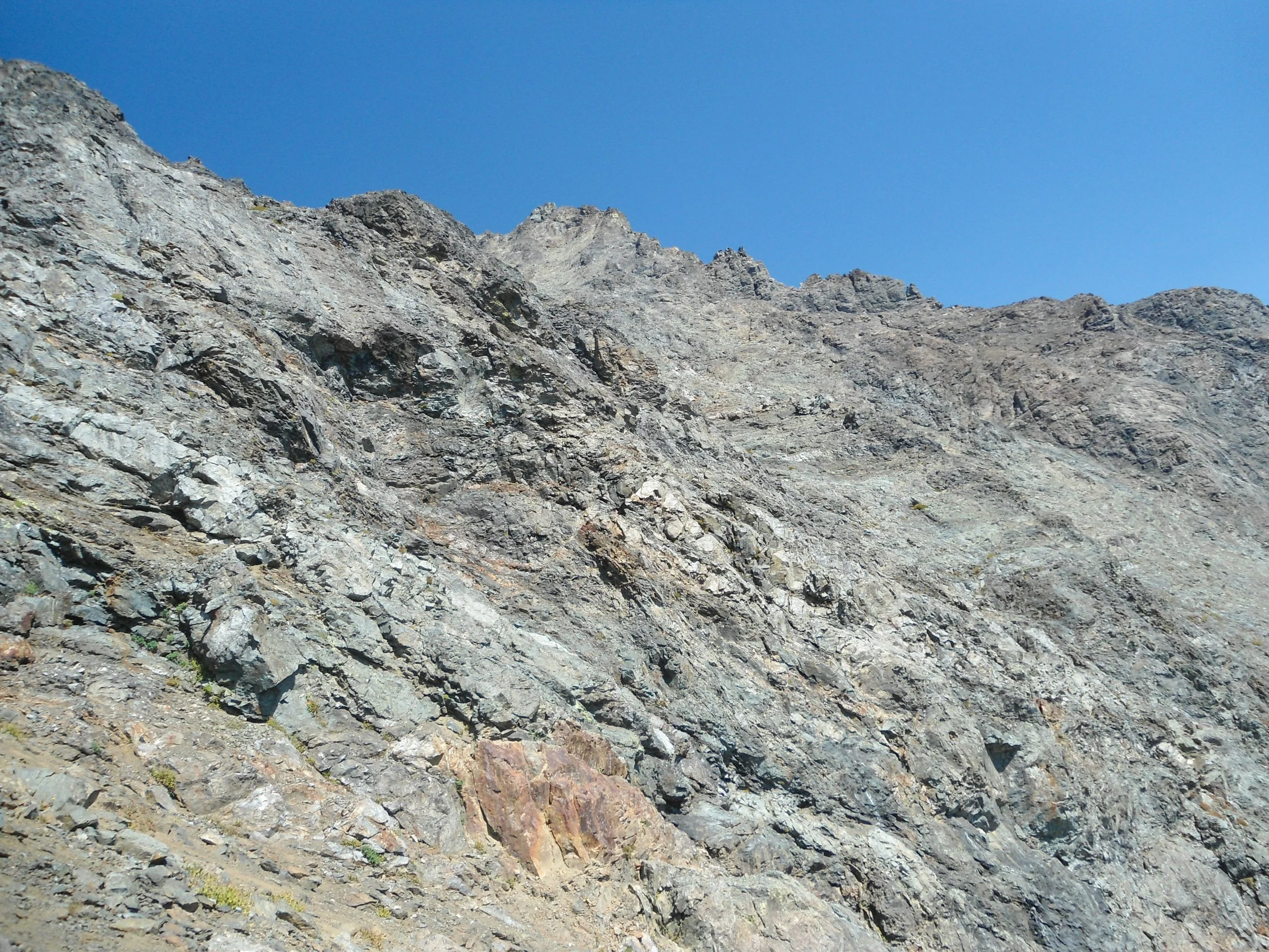
A maze of rock
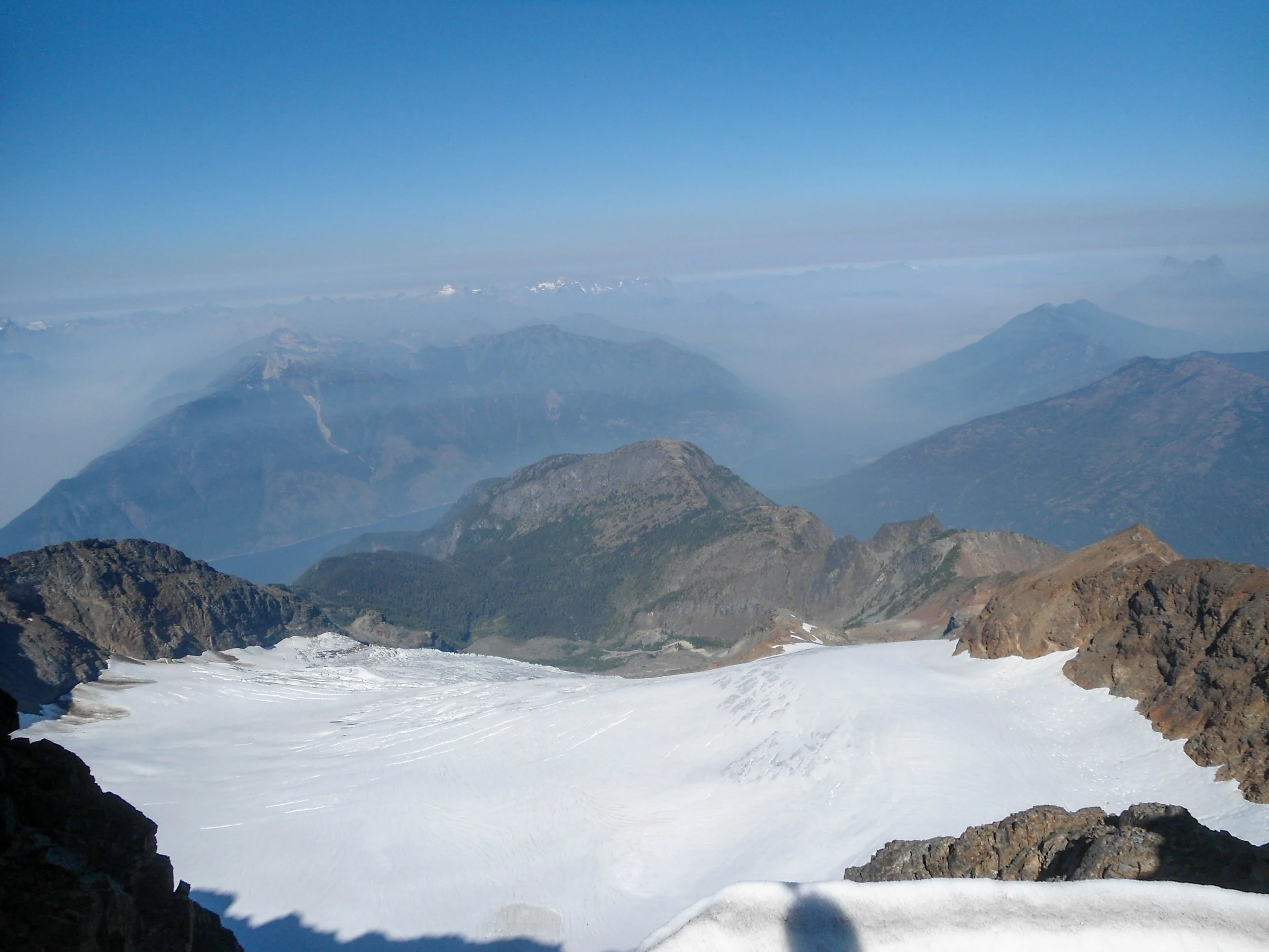
The glaciated backside of Jack
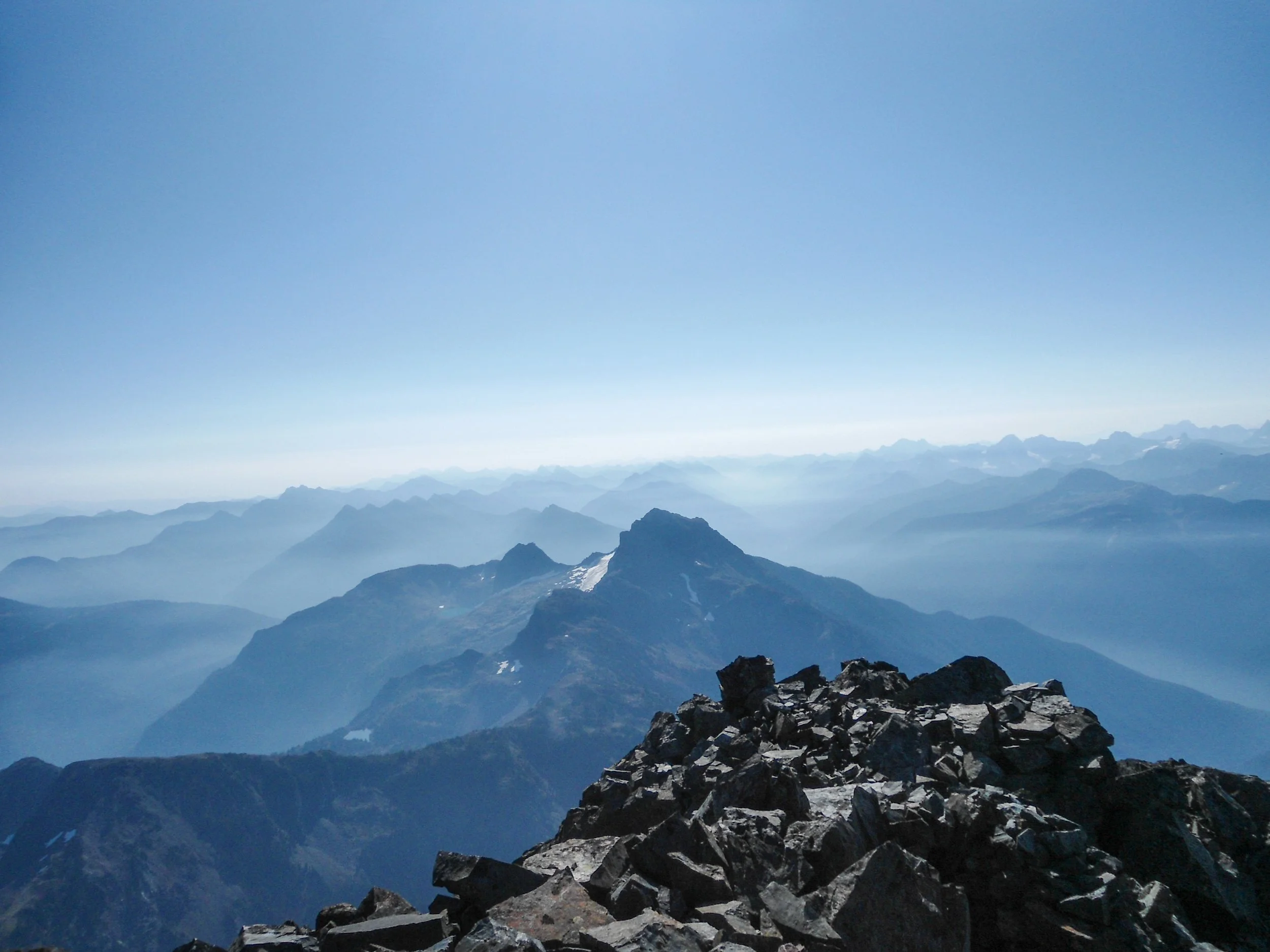
Summit time
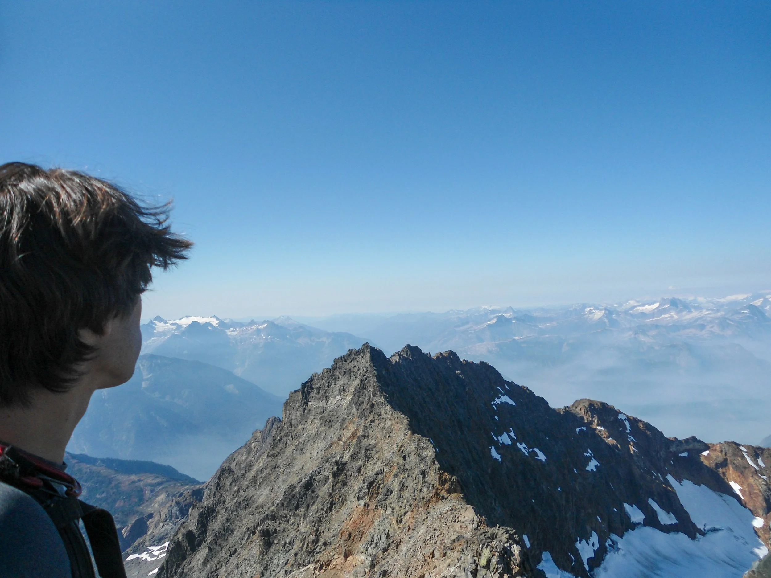
Heyyo
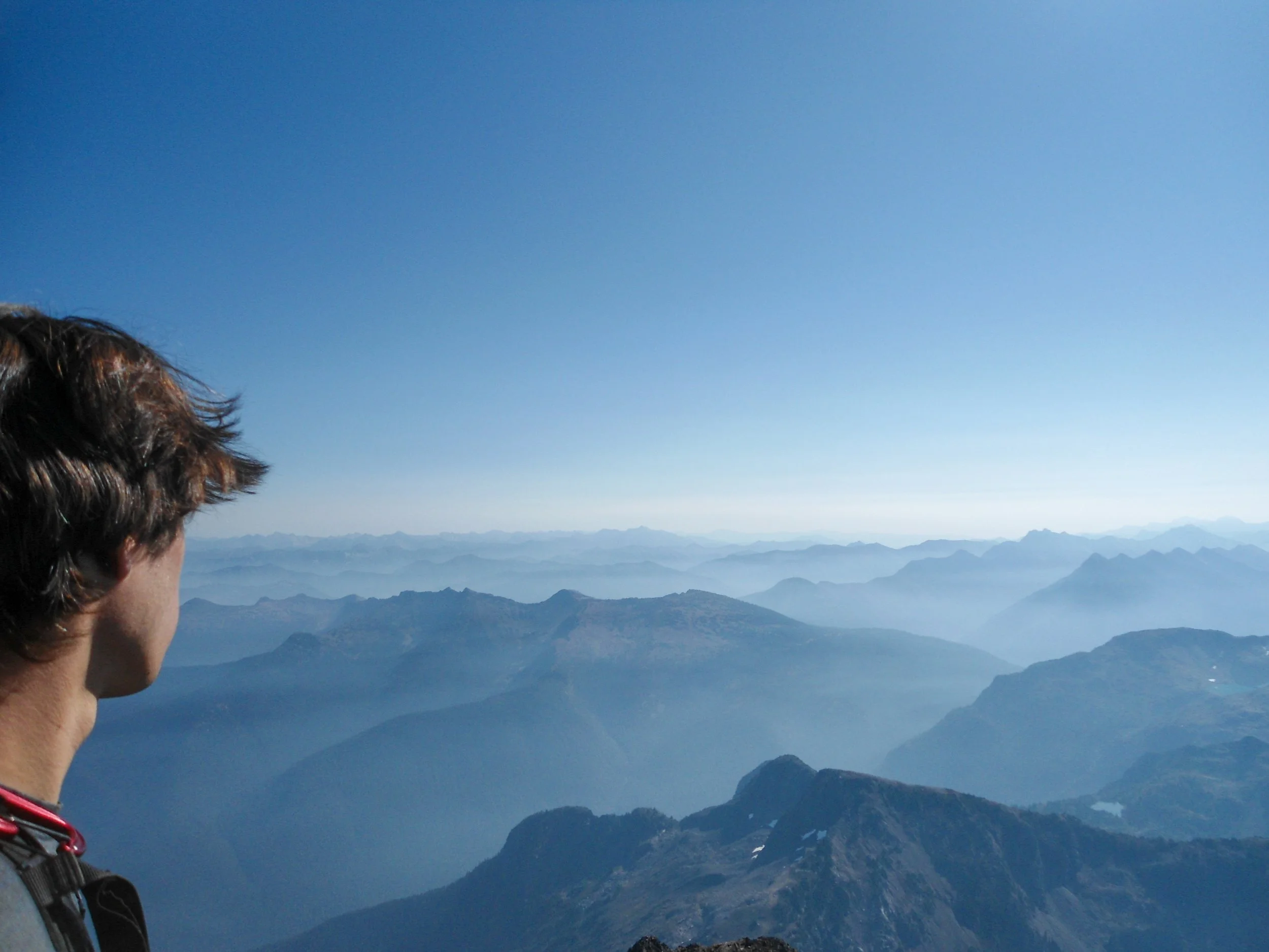
Whole lotta mountains
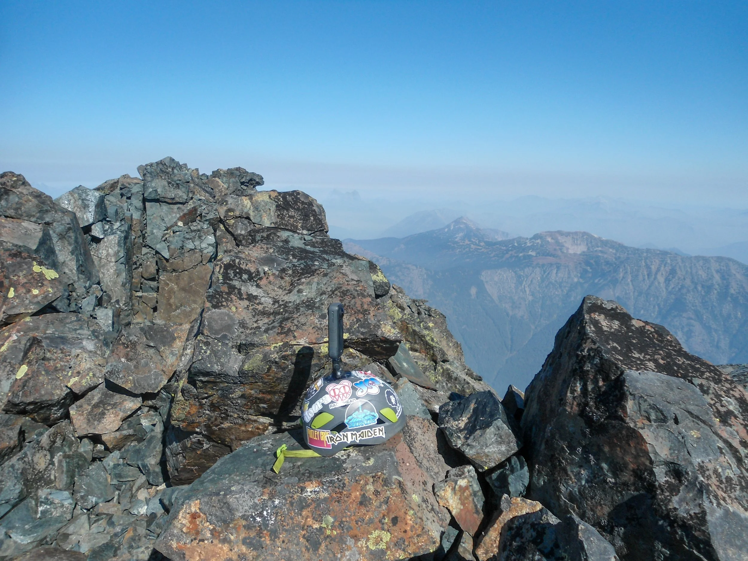
YES
Jack Mountain's prominence was evident; everything was visible from the North Cascadian Peaks in the distance, the nearby Mount Hozomeen, and the Canadian Cascades. My time up top was short as the impending descent loomed, so after a quick lunch I began to make my way down. All things considered, the descent down to safety at 7000’ really wasn't too bad. Traversing at a downward angle is always trickier, and this was no exception; I often found myself grabbing at loose rock and dirt to stabilize myself. I was glad to be the only one on the mountain as I kicked down a fair amount of rocks. If you're in a group, definitely stay together; horizontally positioned, no one is directly below another. Descending the crux was nerve-racking, as the slick dirt shelf above angles you over the ledge below; it's easy to see how someone could fall here. From what I understand, this is where a climber passed away while descending off Jack in 2023. Once off the chimney, the danger zone continued as I continued along the lower traverse before finally reaching 7000’ and safety.
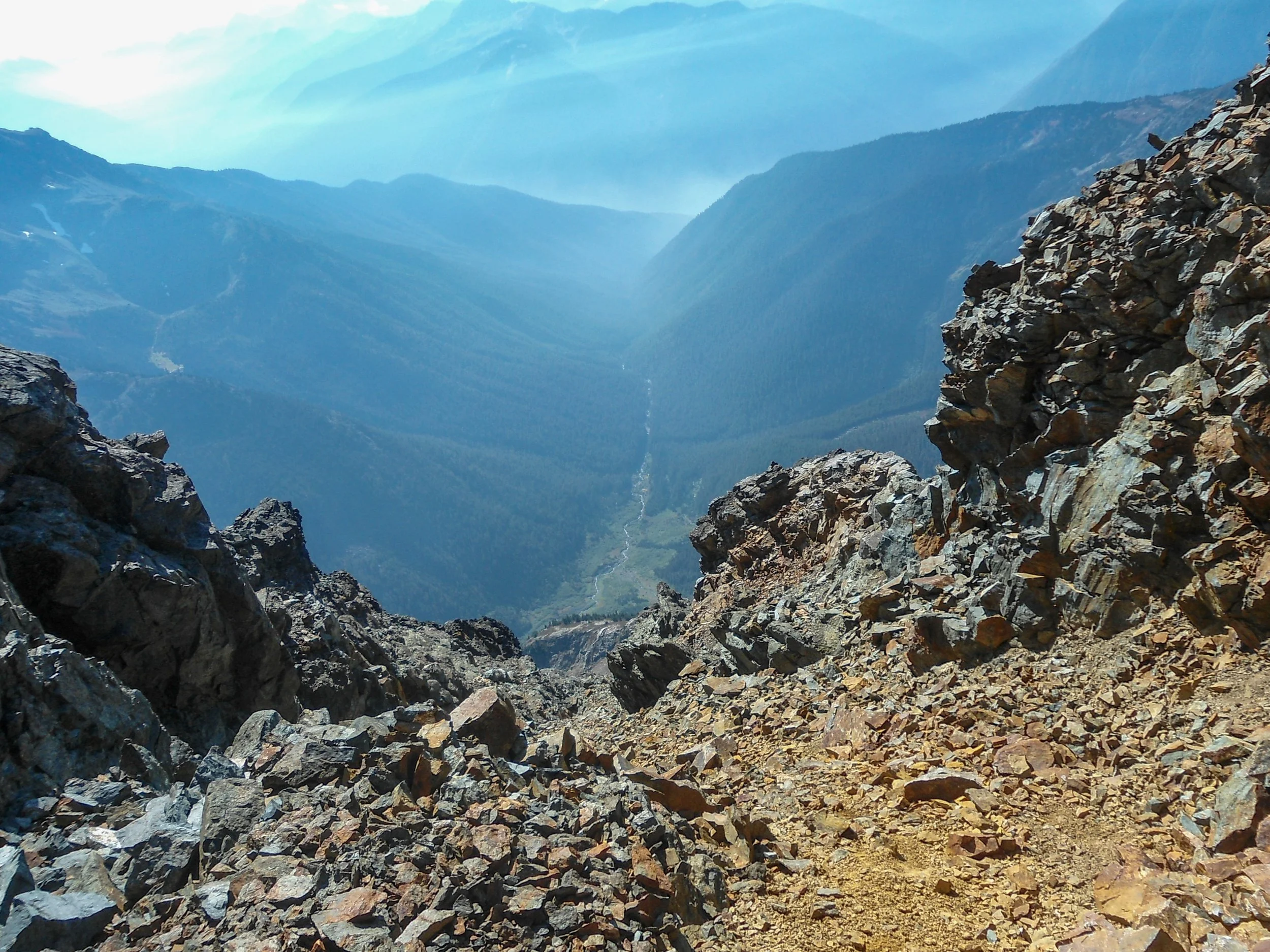
Down I go
My joy, however, was short-lived as the adrenaline that had been pumping for hours began to wear off and a headache began to set in. I got some much-needed food and water before flying down to the valley, where I refilled my water. I was then tasked with ascending to 6,500’ before dropping down to Jerry Lakes and reascending all the way up to 7,200’, all after gaining 9,500’ already, good lord. The only enjoyable part of this was finally being able to fully see the fall colors around Jerry Lakes and the broken-up Jerry Glacier. After reaching the Crater Lake trail at 6 pm, I ran all the way back to Granite Creek, where I ended the hike the same way I started it—crossing Granite Creek barefoot in pitch-black darkness. I reached the car at 8 pm, 19 hours after I left it.
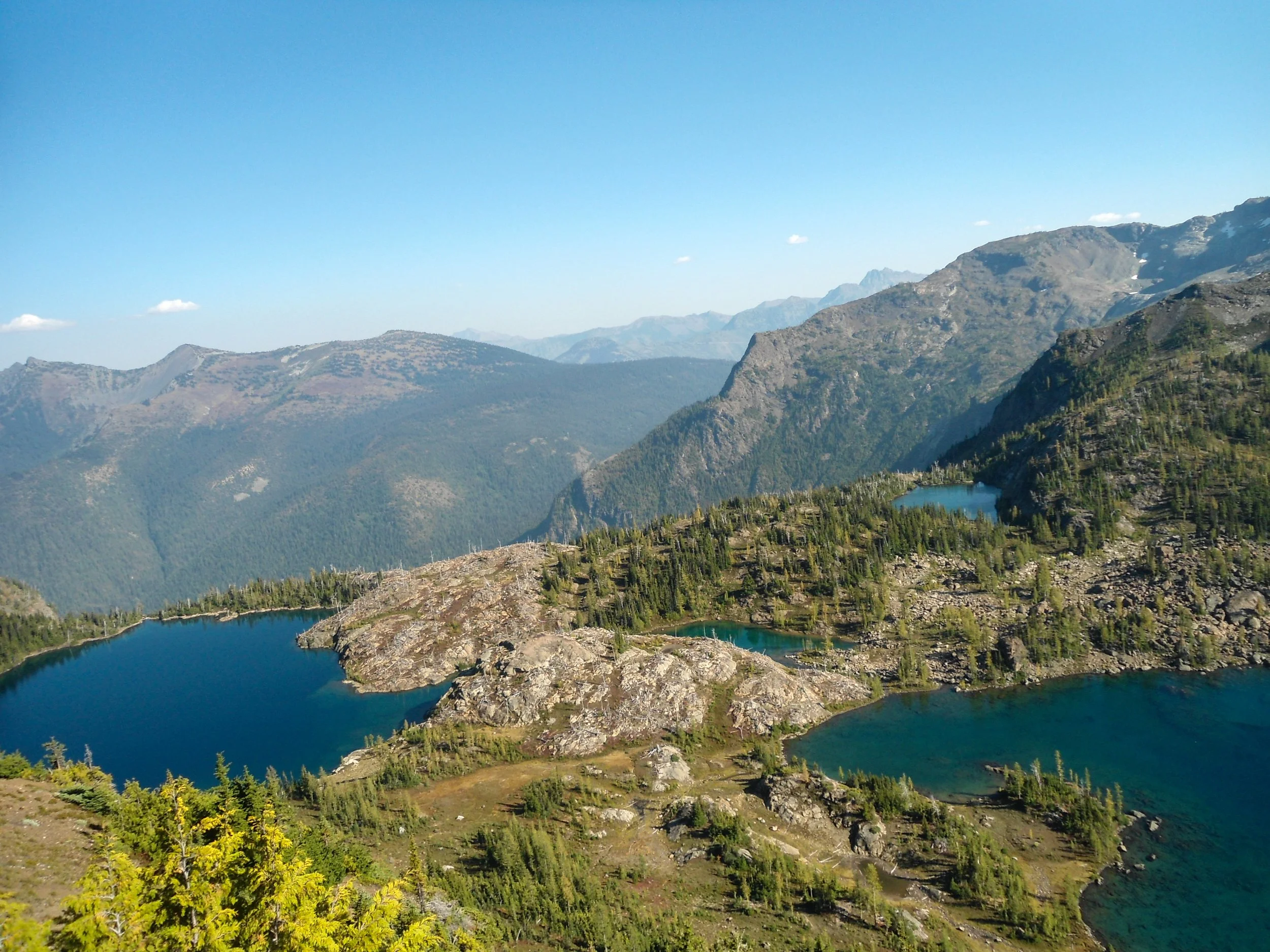
I mean dang
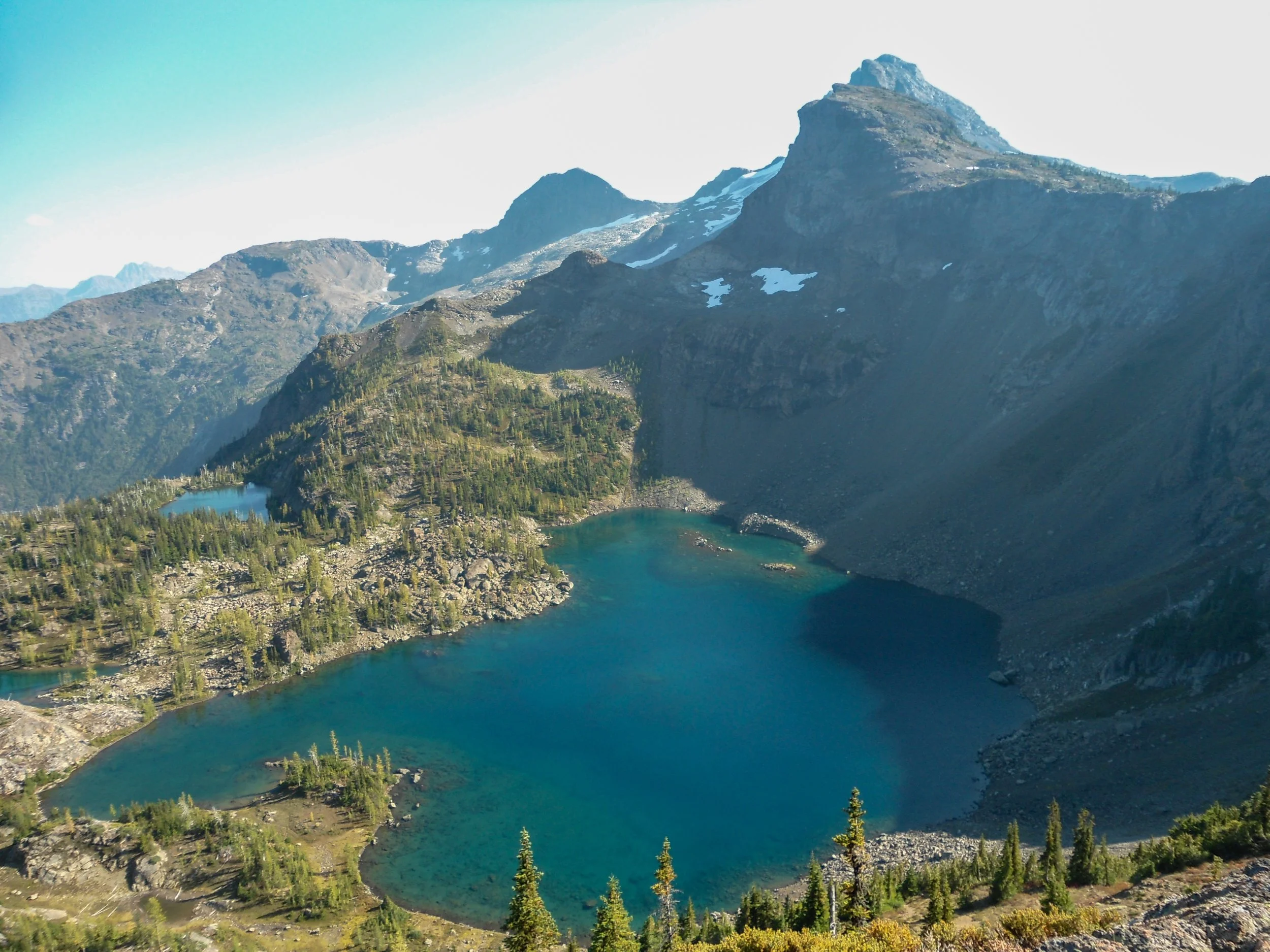
Jerry Lakes
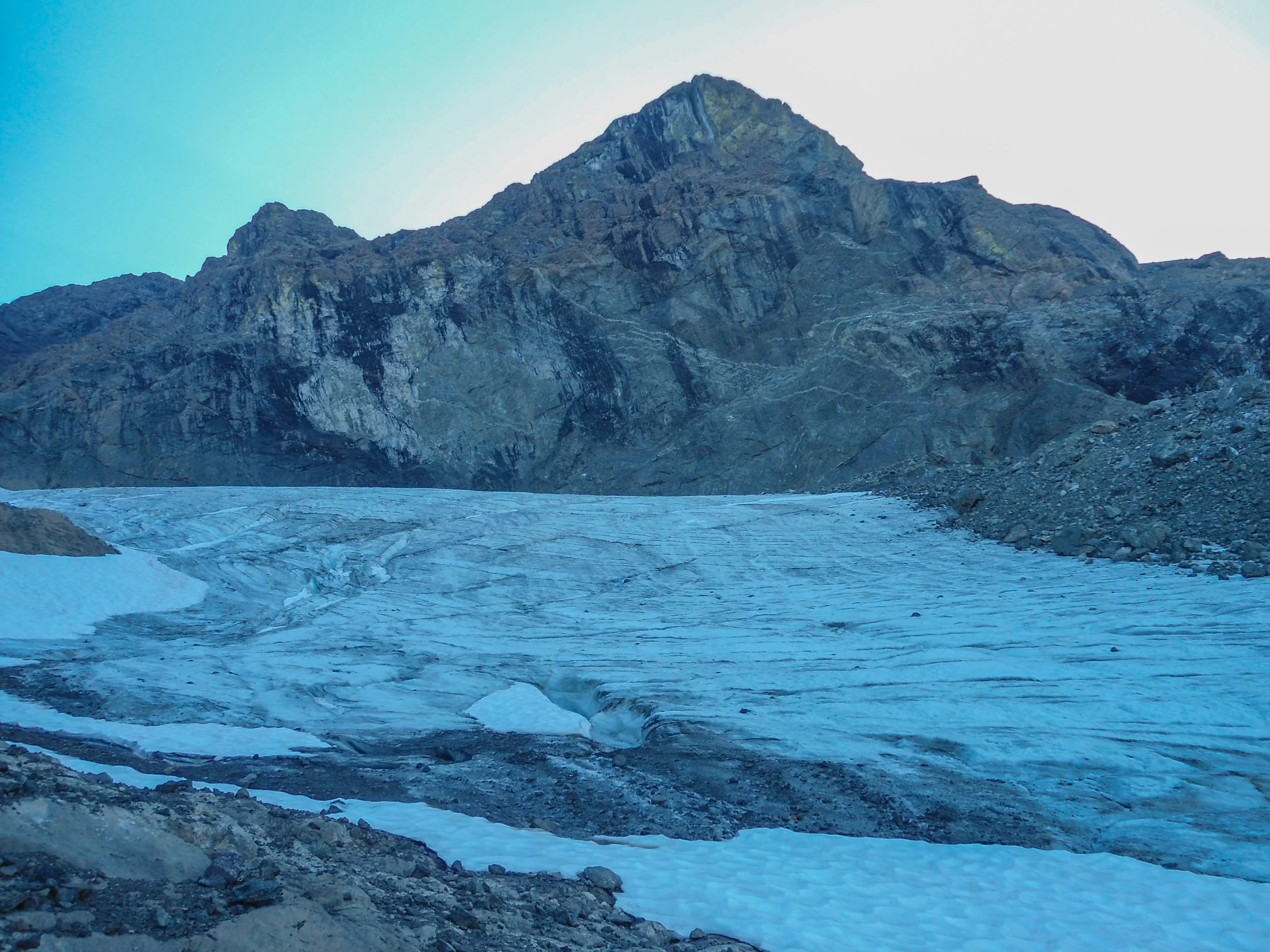
Glacier close up
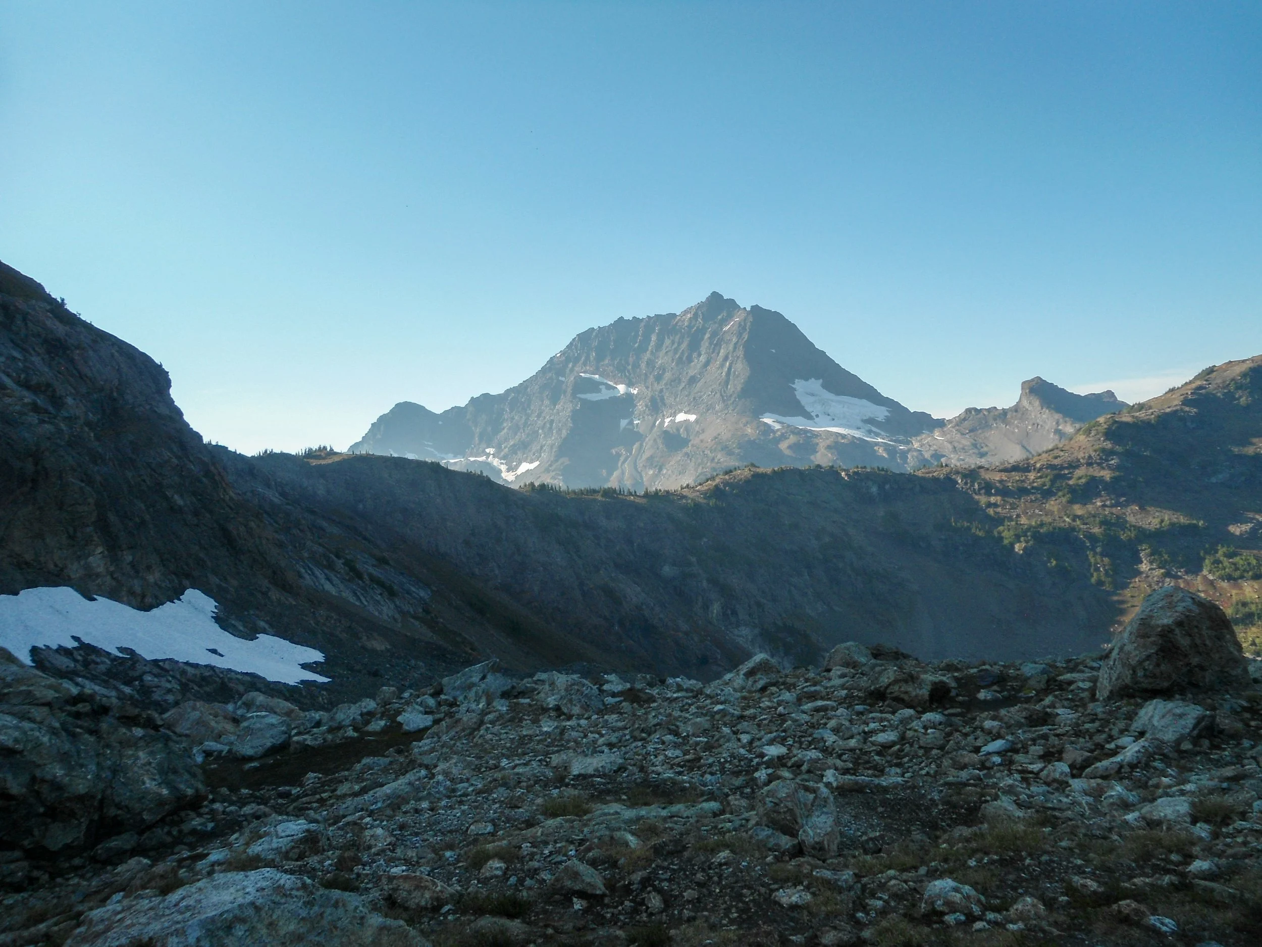
Kinda a big mountain
Overall, this was easily my toughest climb to date, and I drew on skills from a decade-plus of hiking/climbing. From route finding and navigating tricky terrain by headlamp to dealing with steep slopes and loose rock, you should be very confident in your skills before taking on a mountain like this. As always, Happy Hiking and Stay Safe!
Final Stats: 22.5 Miles - 11,500’ Gain - 19 Hours Car to Car
