Glacier Peak WA
6/21/26
Glacier Peak is the high point of the Central Cascades and the 4th-highest/most prominent peak in Washington. While not overly technical, Glacier Peak has one of the longest approaches in Washington. The standard route starts from the North Fork Sauk Trailhead and follows the North Fork of the Sauk for 5.5 miles before climbing up to White Pass through a steep series of switchbacks. From there, you continue NE to Marmot Pass 6,400', where you're greeted with your first views of Glacier Peak. After Marmot Pass, it's a series of ups and downs through mini valleys and bowls up to Glacier Gap 7,300' and our destination for day 1.
Day 1, Thursday: My childhood friend Thomas joined me on this adventure. I've done Vesper Peak, Mount Aix, and an overnight trip in the Alpine Lakes Wilderness near Mount Hinman with him. He's also an avid skier, who is used to big backcountry days; this, however, was his first real hike of the year. Thomas came up from Seattle to my house in Bellevue on Wednesday night, where we loaded up the car before leaving at 5:30 the next morning. We rolled into the trailhead at 7:30 and got on our merry way. We started at a decent pace, quickly knocking the first 2 miles out with ease. However, around this point, a stomach bug began to bother Thomas. After a 20-minute break and a few stops in nature's bathroom, he was feeling better, and we kept going, knocking out the final 3.5 miles to the North Sauk Campground. We took a 30-minute break here before starting up the steep switchbacks towards White Pass. This section killed me when I was 15, so I made sure to set a slow but steady pace the whole way up. After gaining 2,100' through 2 miles, we were spit out at 5,100'. Views of the surrounding peaks finally came into view, with Bedal, Kyes, Cadet, and, of course, Sloan all visible. Being able to see the Glacier and the exact route up Sloan was awesome. From 5,400', we began to head northeast towards White Pass as the grade of the trail lessened. As we ascended, more and more peaks came into view; Daniel, Hiniman, Lemah, and even Ranier all poked their heads out. Just over 9 miles in, and we reached White Pass at 6,000'.
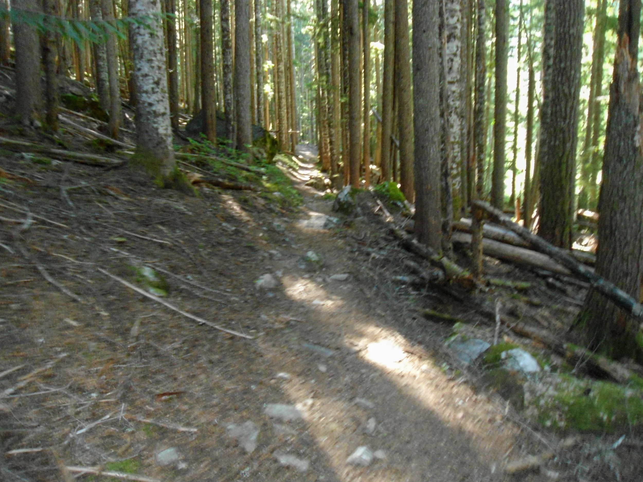
Through the woods
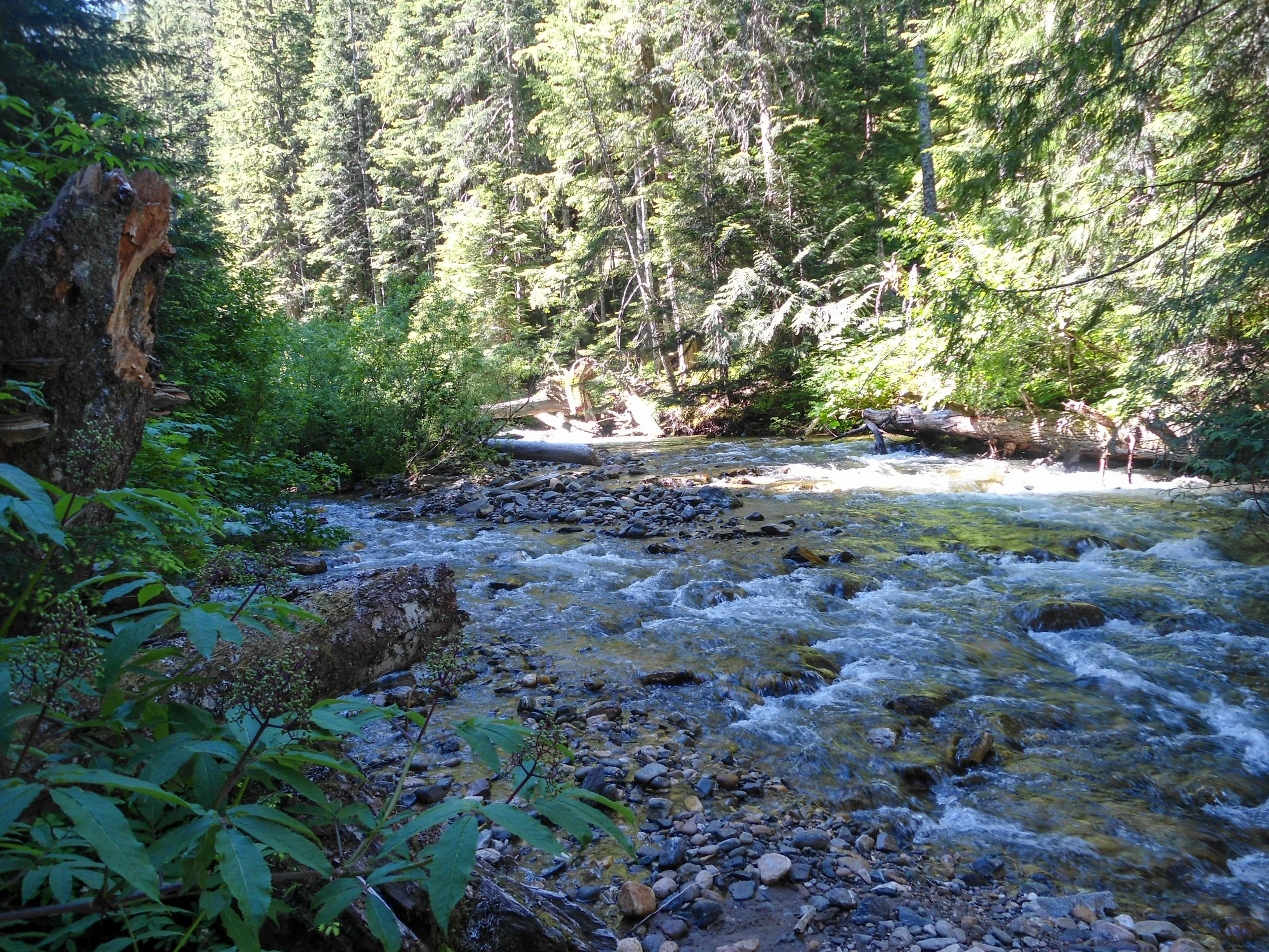
The North Fork of the Sauk
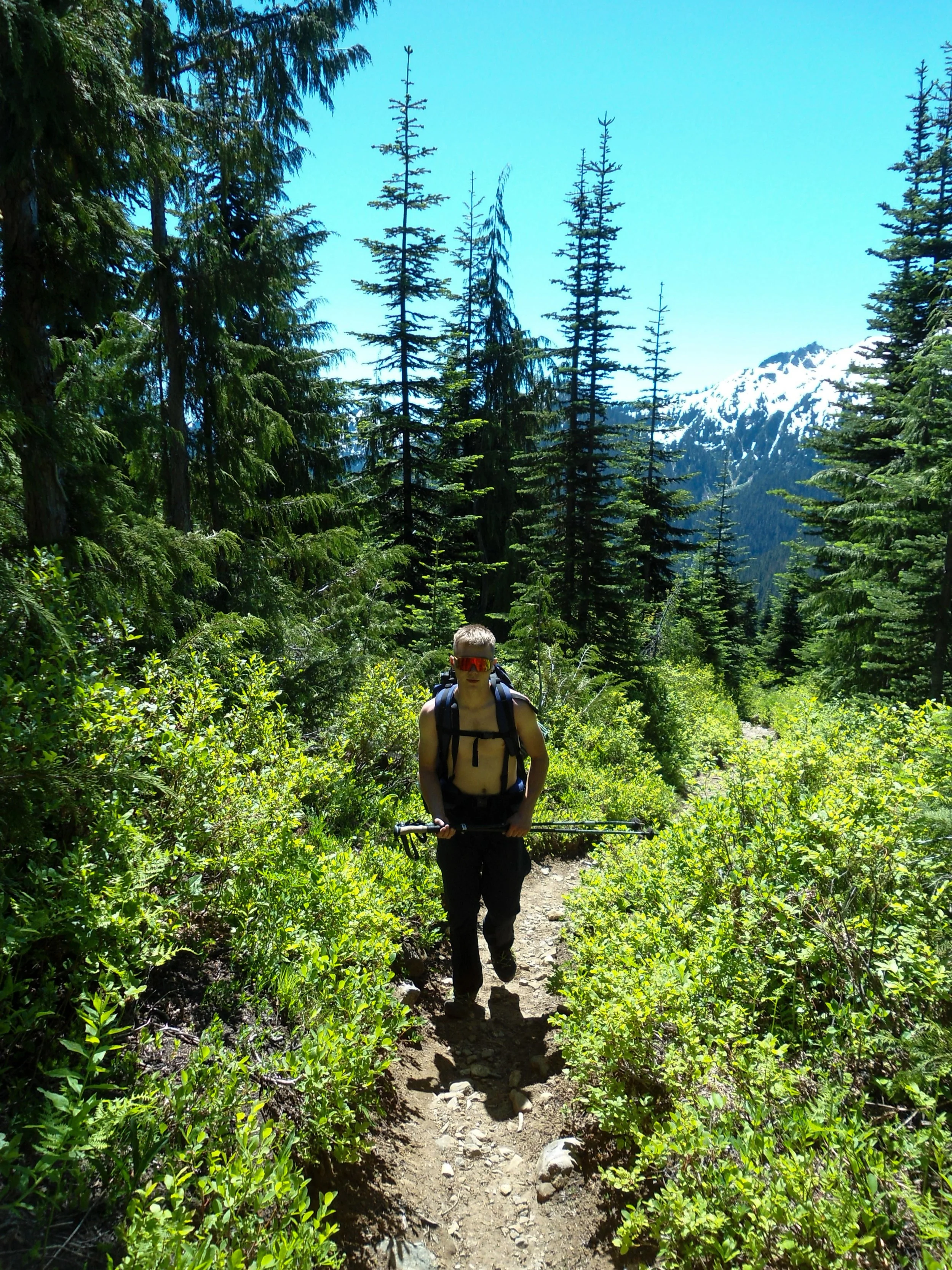
Up the switchbacks
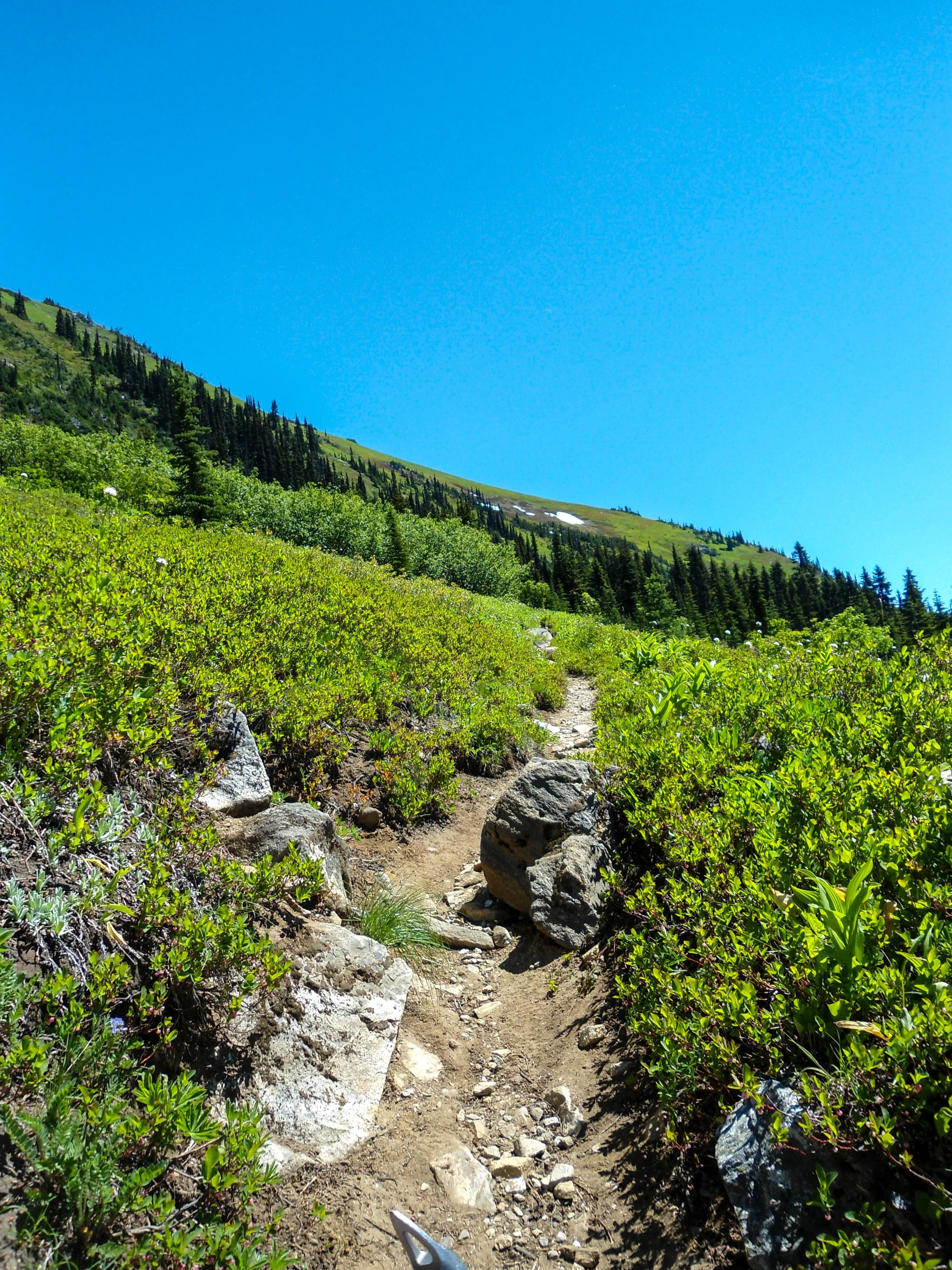
And into the meadows
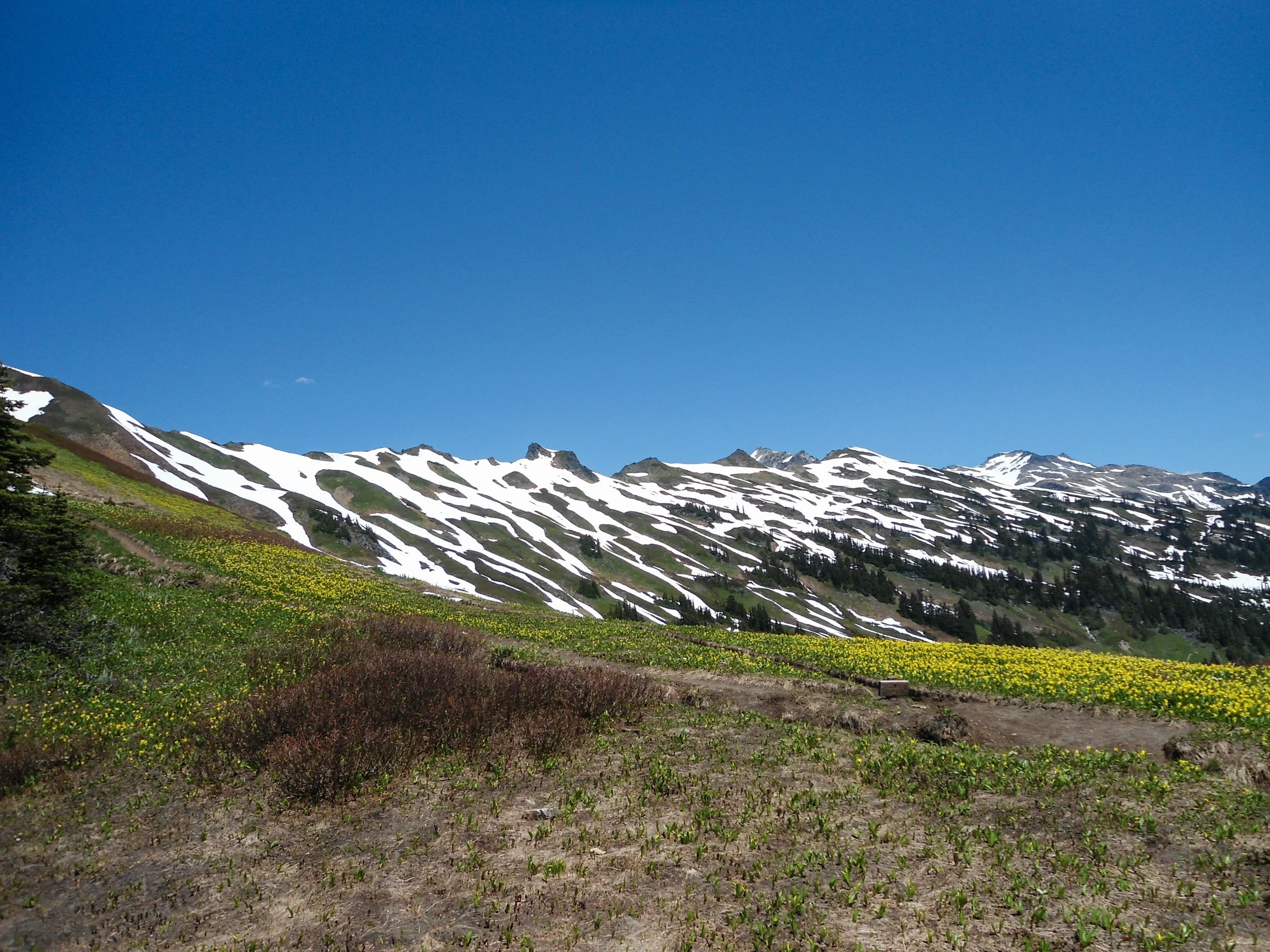
Up on White Pass looking towards Marmot Pass
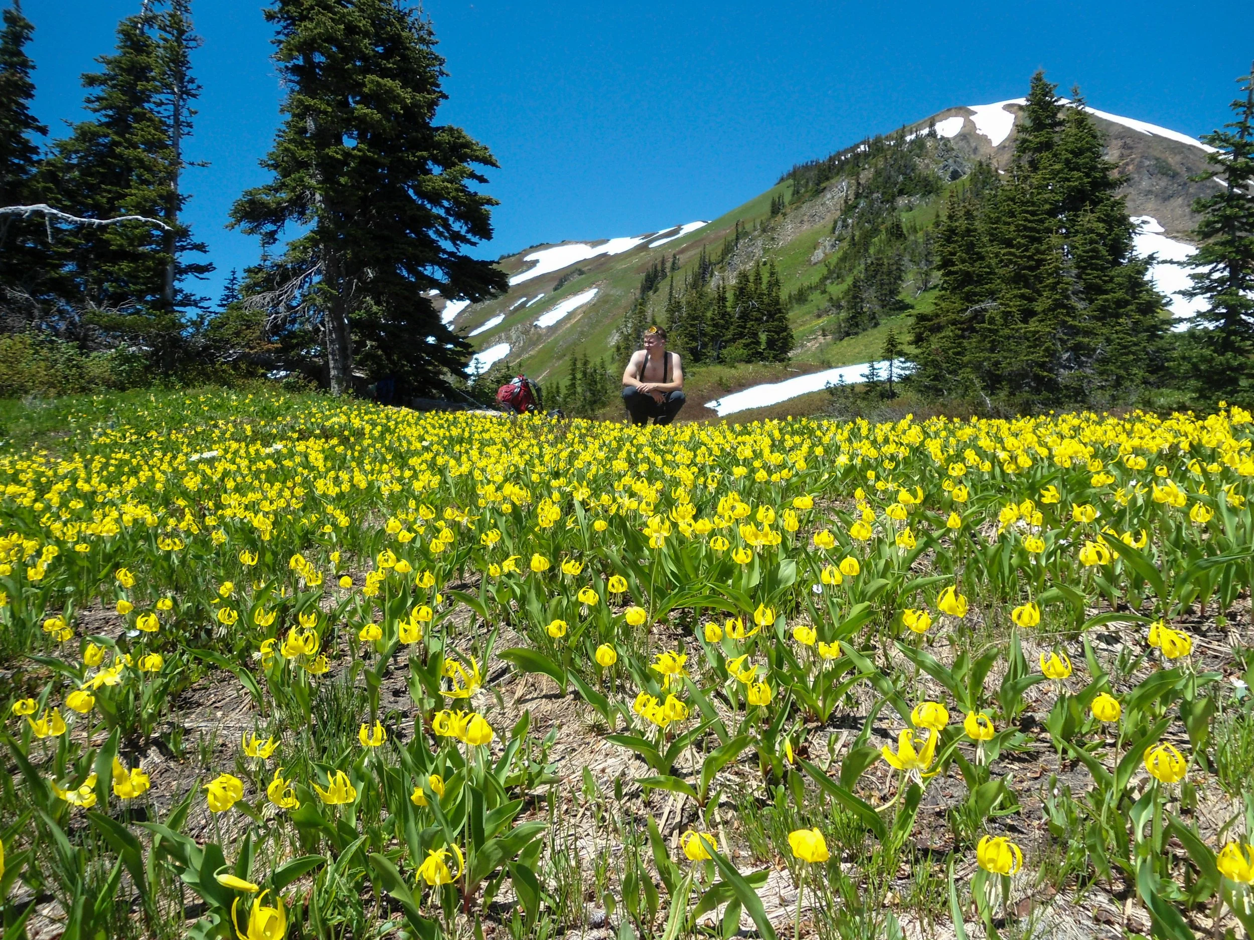
Thomas surrounded by a sea of yellow
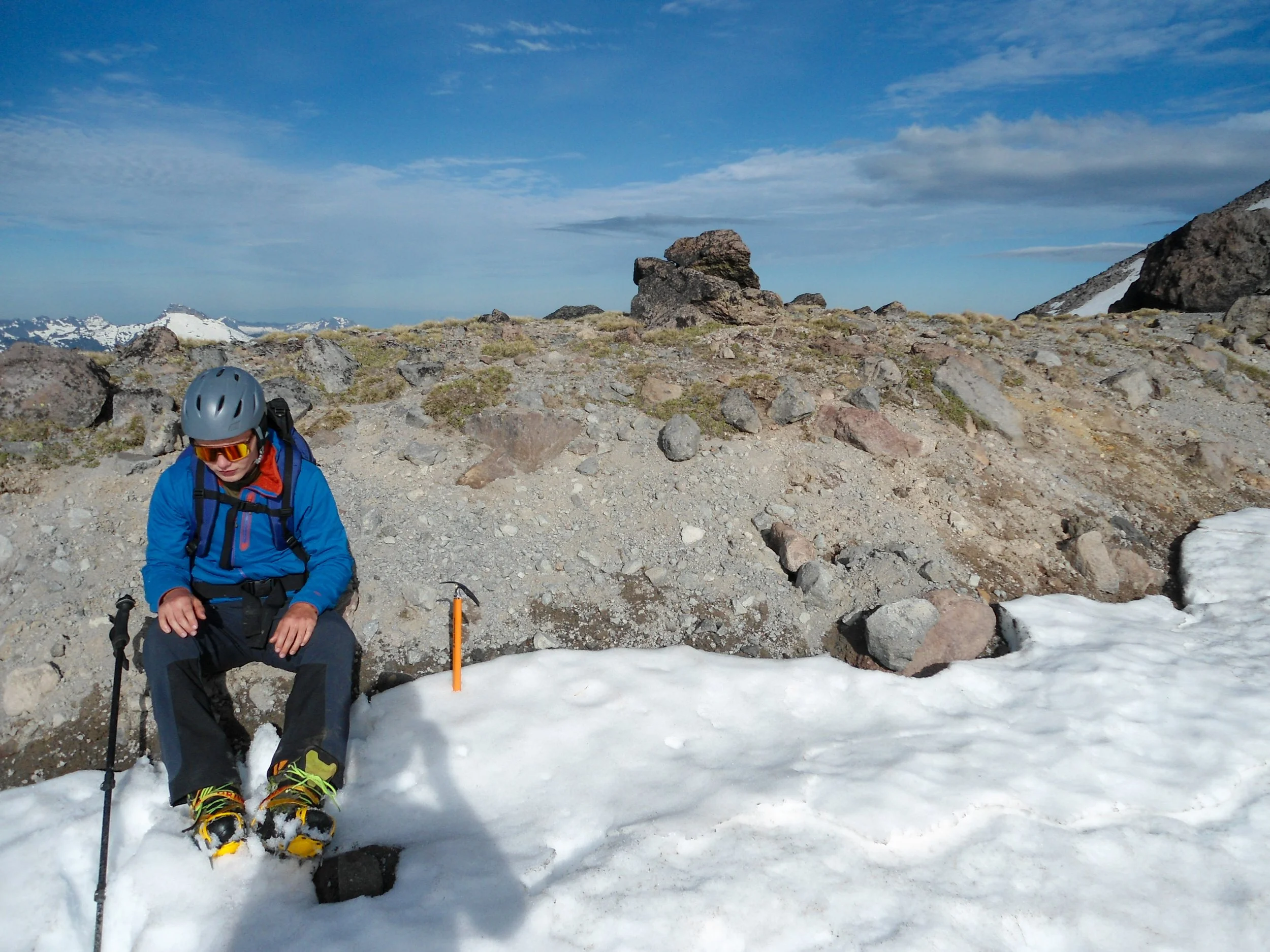
Yellow wildflowers dotted the slopes, and Indian Head Peak now dominated the skyline. The trail to Marmot Pass was partially snow-covered; up to this point, the route had been snow-free. The next 1.5 miles were a bit of a slog, and we traversed various snow fingers that were draped across the trail. Around 2:30 pm, we made it to Marmot Pass, 6,400'. The views were breathtaking; Glacier Peak was finally visible in the distance, along with Clark Mountain, Mount Stuart, and Kololo Peak, which looked awfully intimidating. After a nice break, we descended a 100' before traversing a steep snow bowl. For this section, I switched from my approach shoes to my boots. I would keep my boots on until day 3.
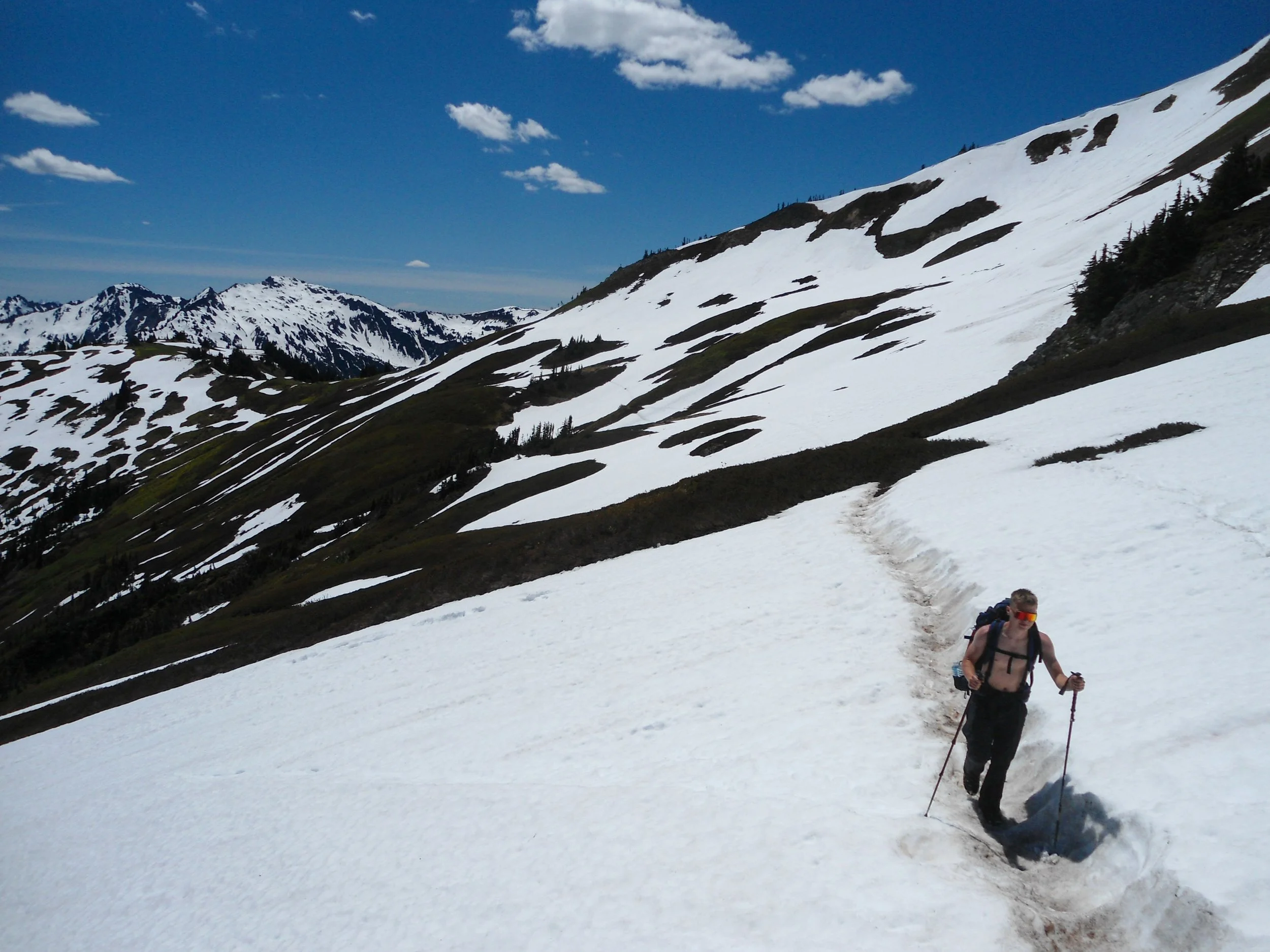
Trudging through the snow
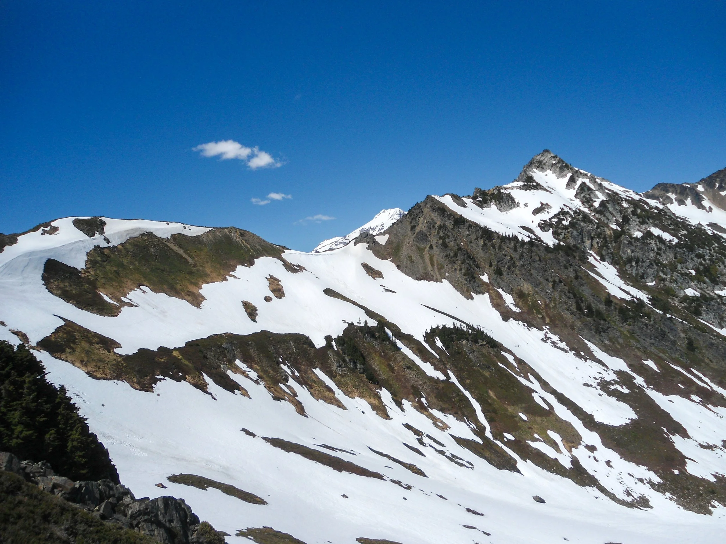
Glacier peeking out from Marmot Pass
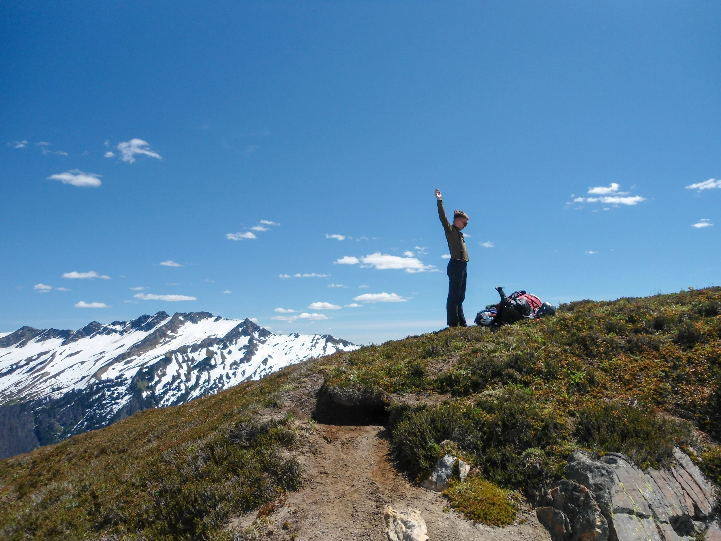
Gotta stetch
We also took out our ice axes. Once past the bowl, we found ourselves on a mini ridgeline, looking down into another bowl. Glacier Peak dominated the skyline, staring at us. Marmots chirped around us, playing in the meadows and snow, while we enjoyed the view. The route went straight down the bowl before reascending up the other side. At this point, we were over 12 miles in, and the fatigue really began to set in as we pushed across the snow bowl and up onto another mini ridge. This time, we were greeted by a vast, snow-covered valley that stretched towards the base of Glacier Peak. Soon we rolled into Camp 1, a very flat, snow-covered section of the valley, near a few partly frozen tarns; I counted 4 tents here.
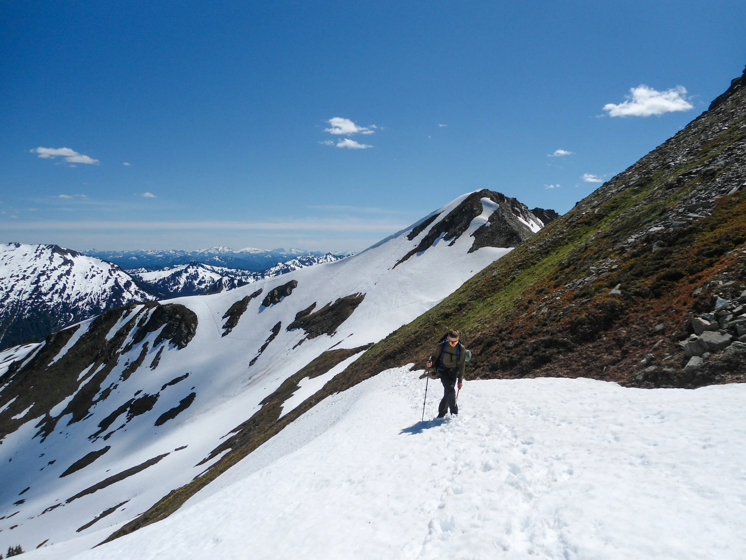
Heading across the first bowl
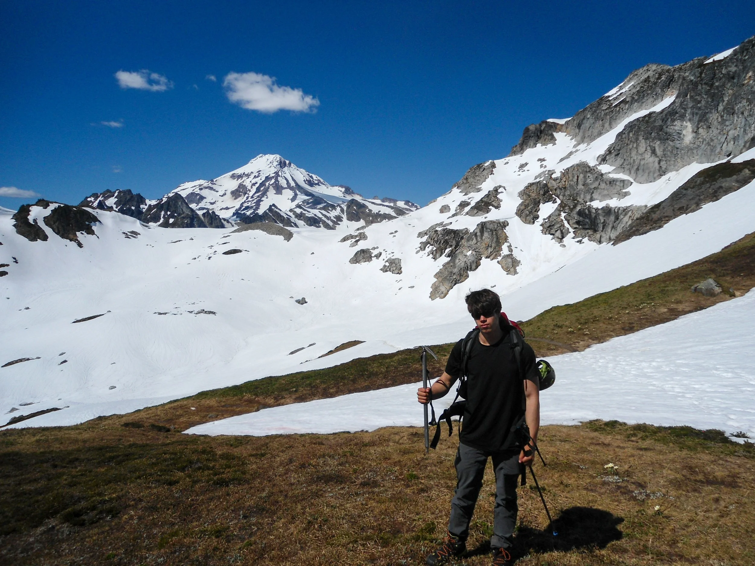
Me with the goal looming behind
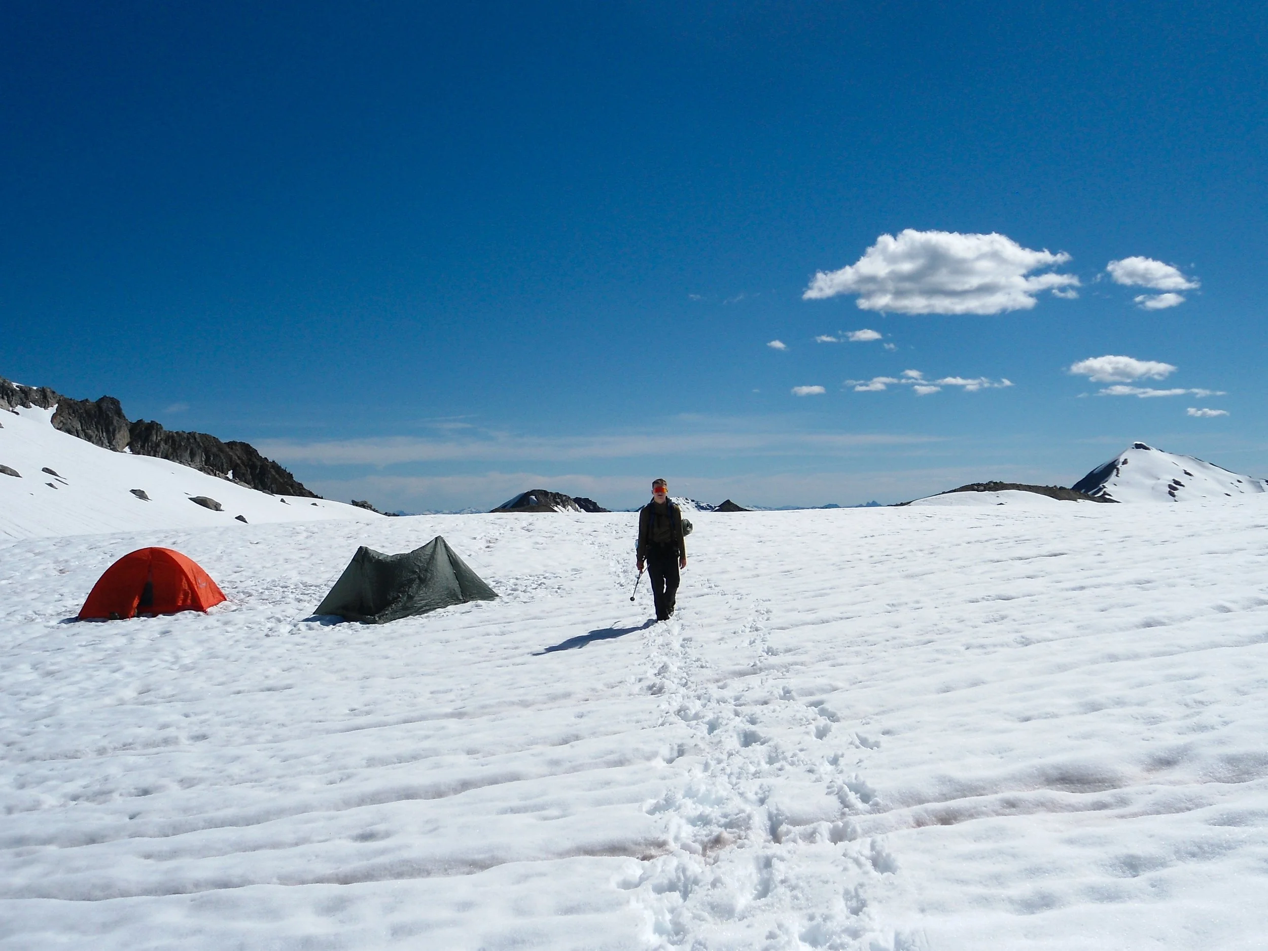
Heading into Camp 1
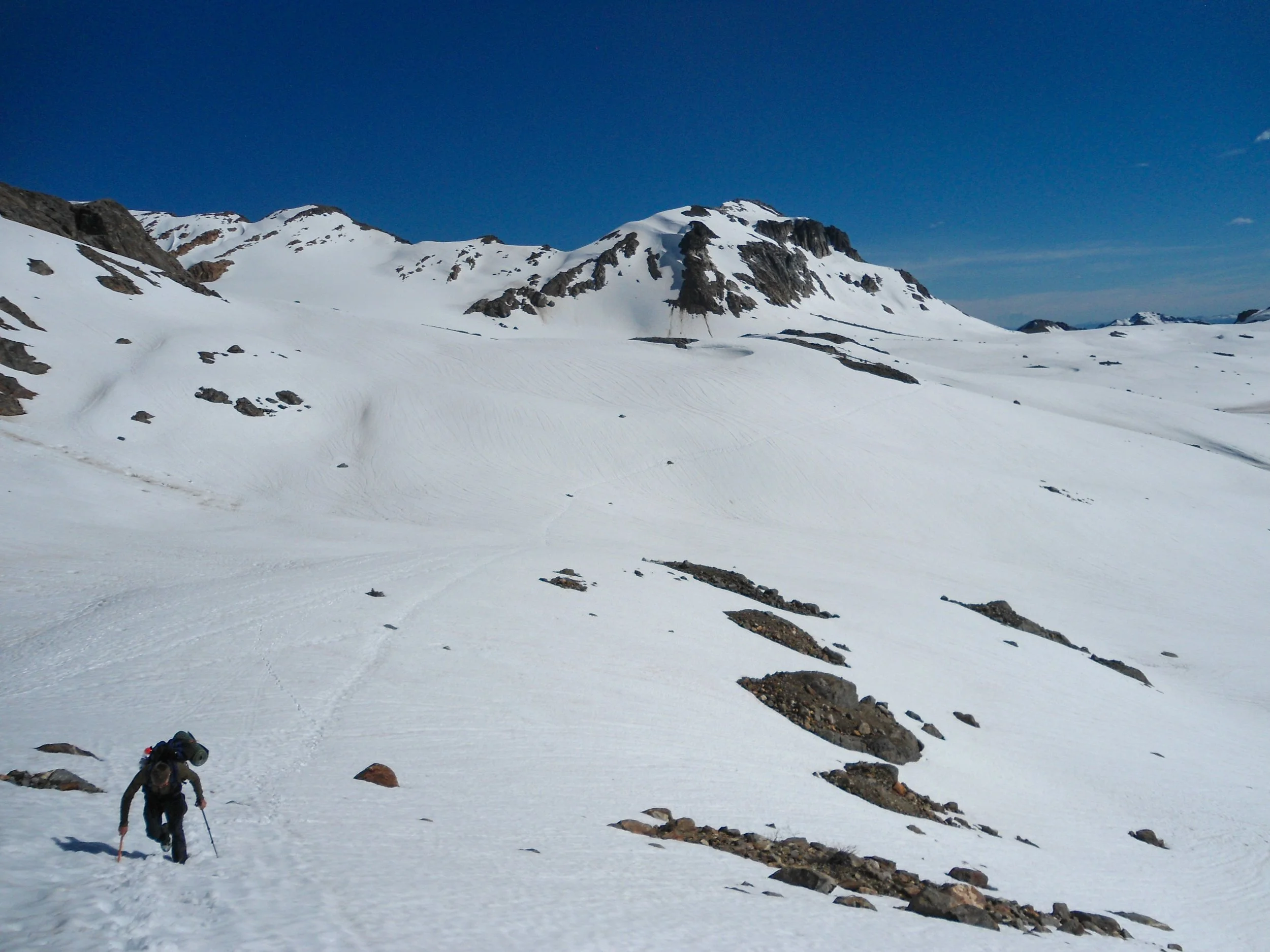
Pushing onward
We also saw our first humans, a pair of skiers heading out. Following Camp 1, we had to make the tedious mile journey to Camp 2. This was a slog as we headed across the frozen valley, ascending and descending snow drifts the whole way to Camp 2. I thought Glacier Gap Camp was camp 2, WRONG! We in fact had another .8 miles and 400' to Glacier Camp. Needless to say, Thomas was quite peeved at me for this mistake. To get there, we ascended a steep snow slope before hopping up rocks all the way to 7,300'. There were quite a few dry-camping spots and two running-water sources within a few minutes' walk; perfect. We set up camp, made dinner, I wrote, and Thomas took a nap all before sunset. Sunset was stunning, with the colors looking southwest toward the Alpine Lakes Wilderness and the Mountain Loop Highway. Even the wind died down, making it a perfect sunset. We crawled into our tents at 9:55 with my wake-up alarm set for 4:45.
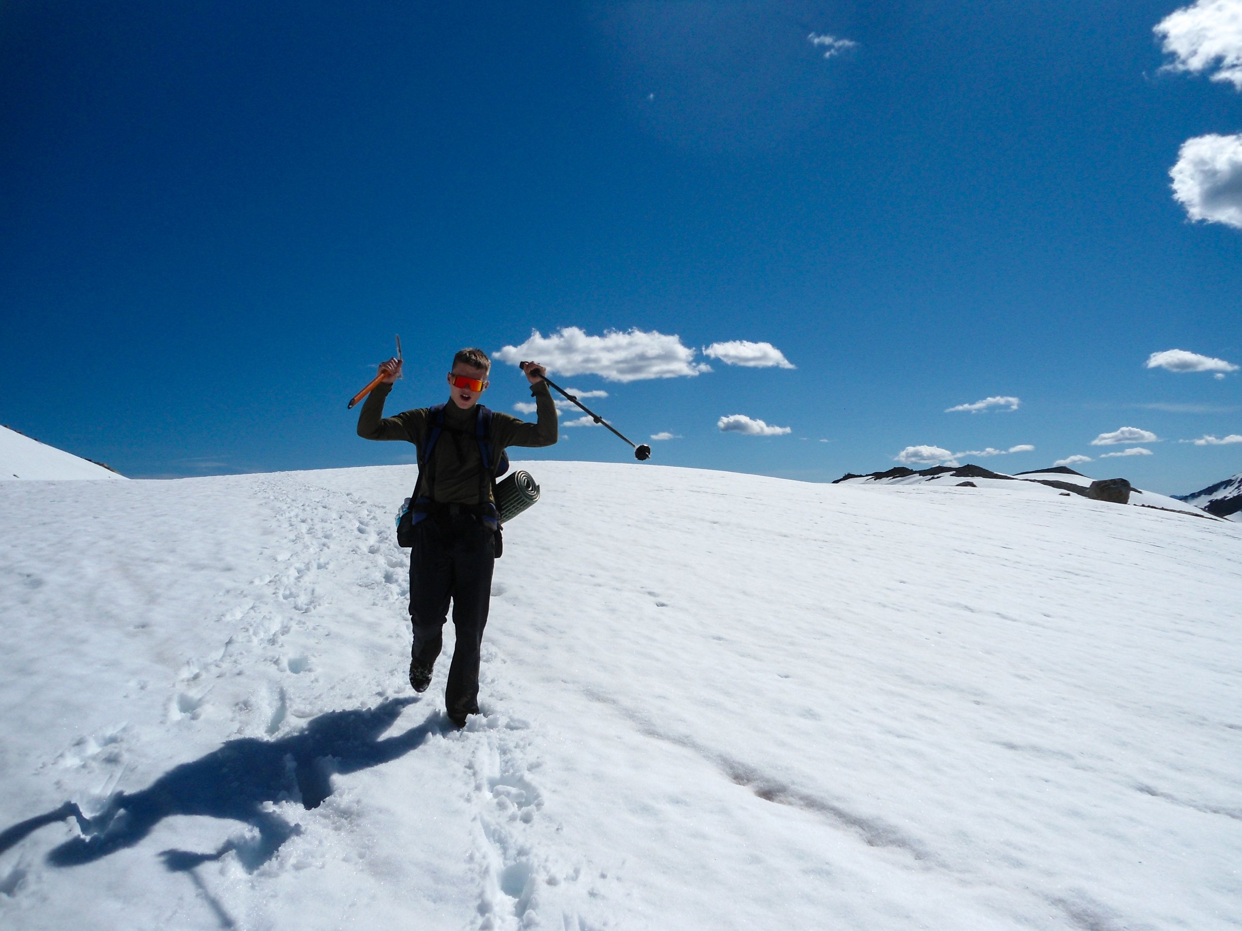
Spirts staying high
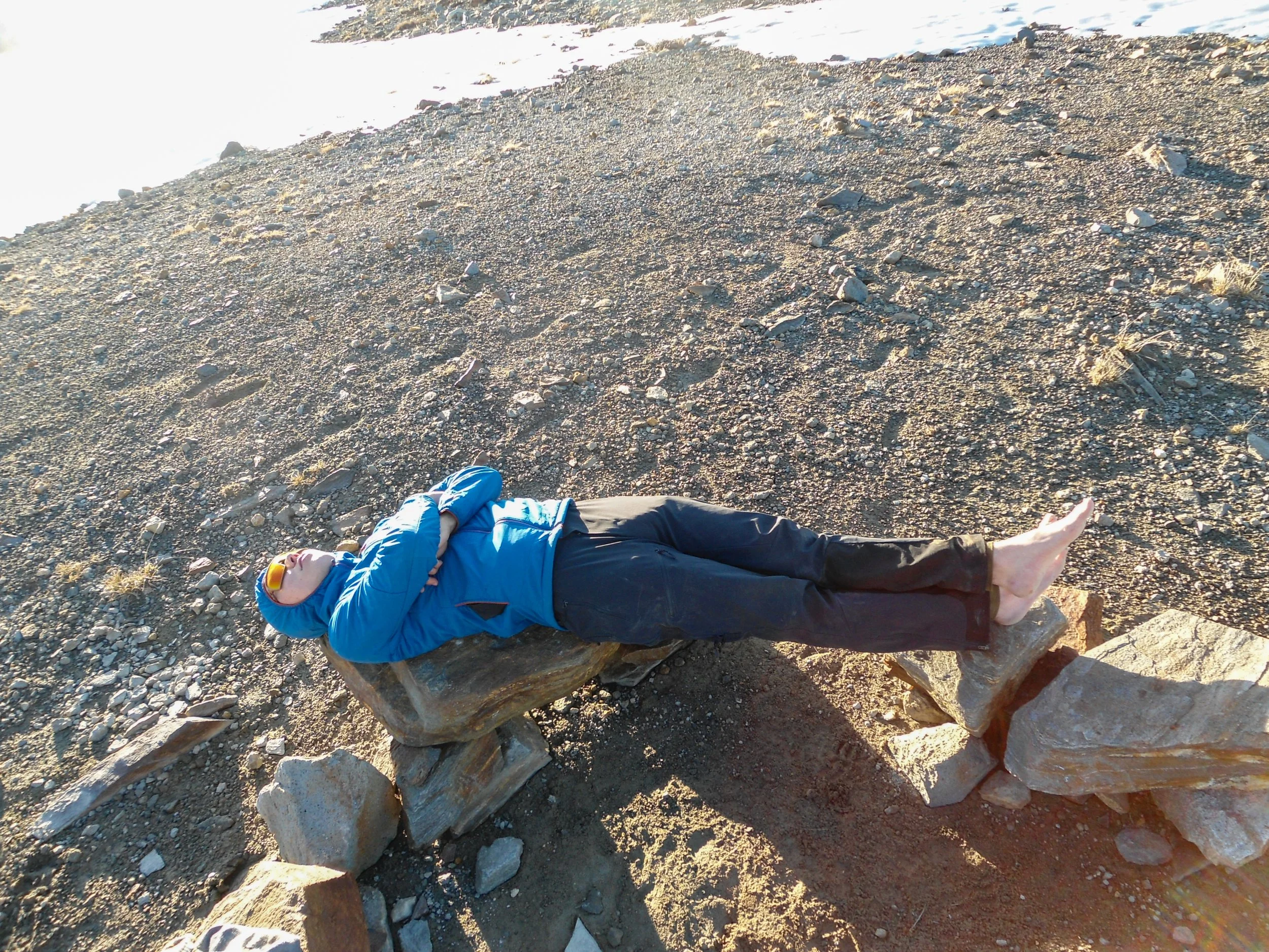
Thomas was a bit tired at camp
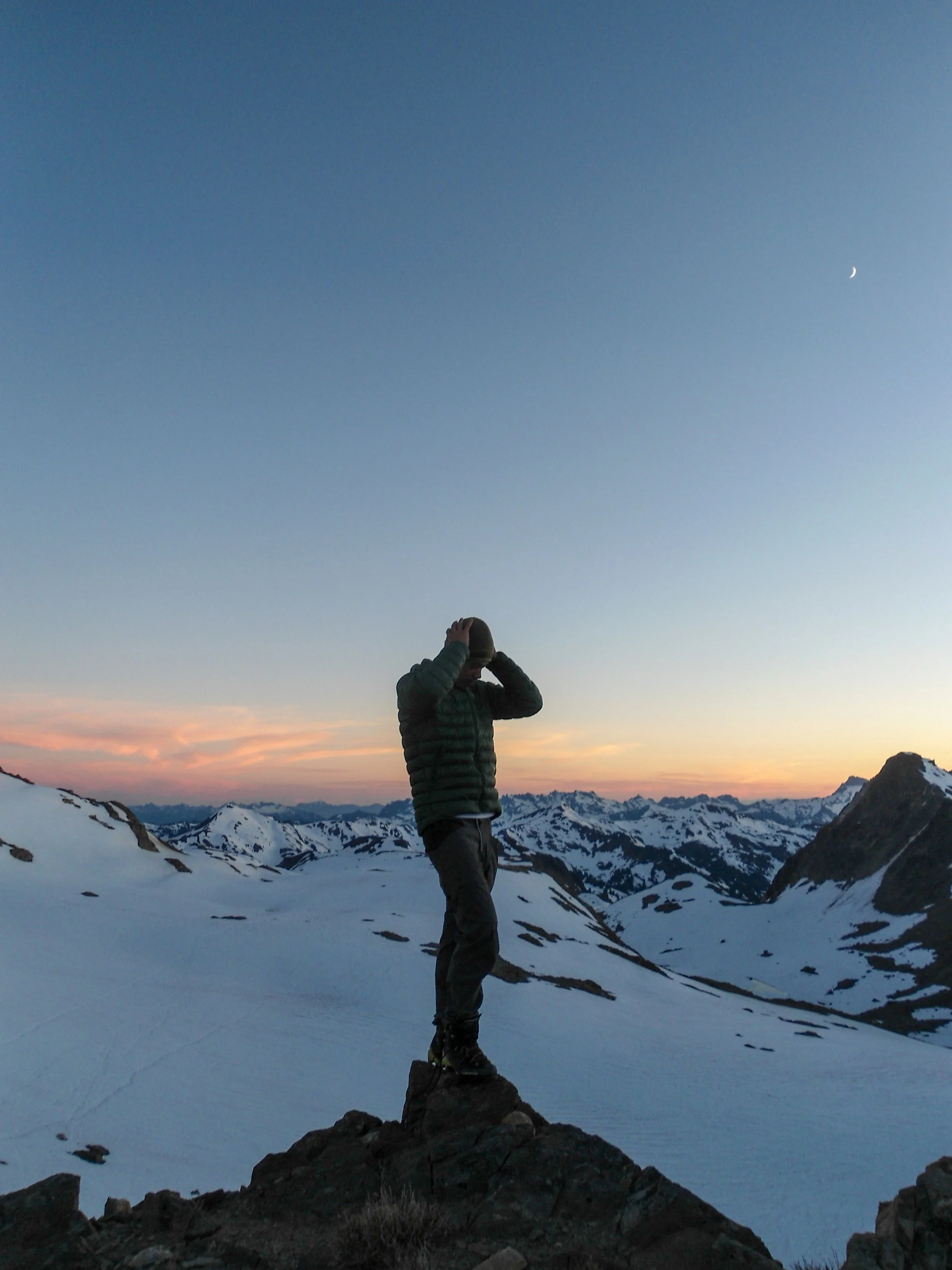
What a view
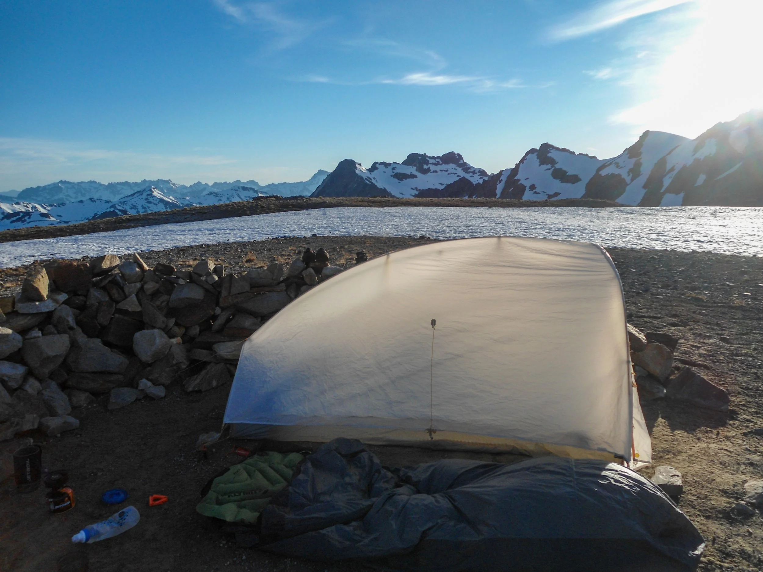
Campsite
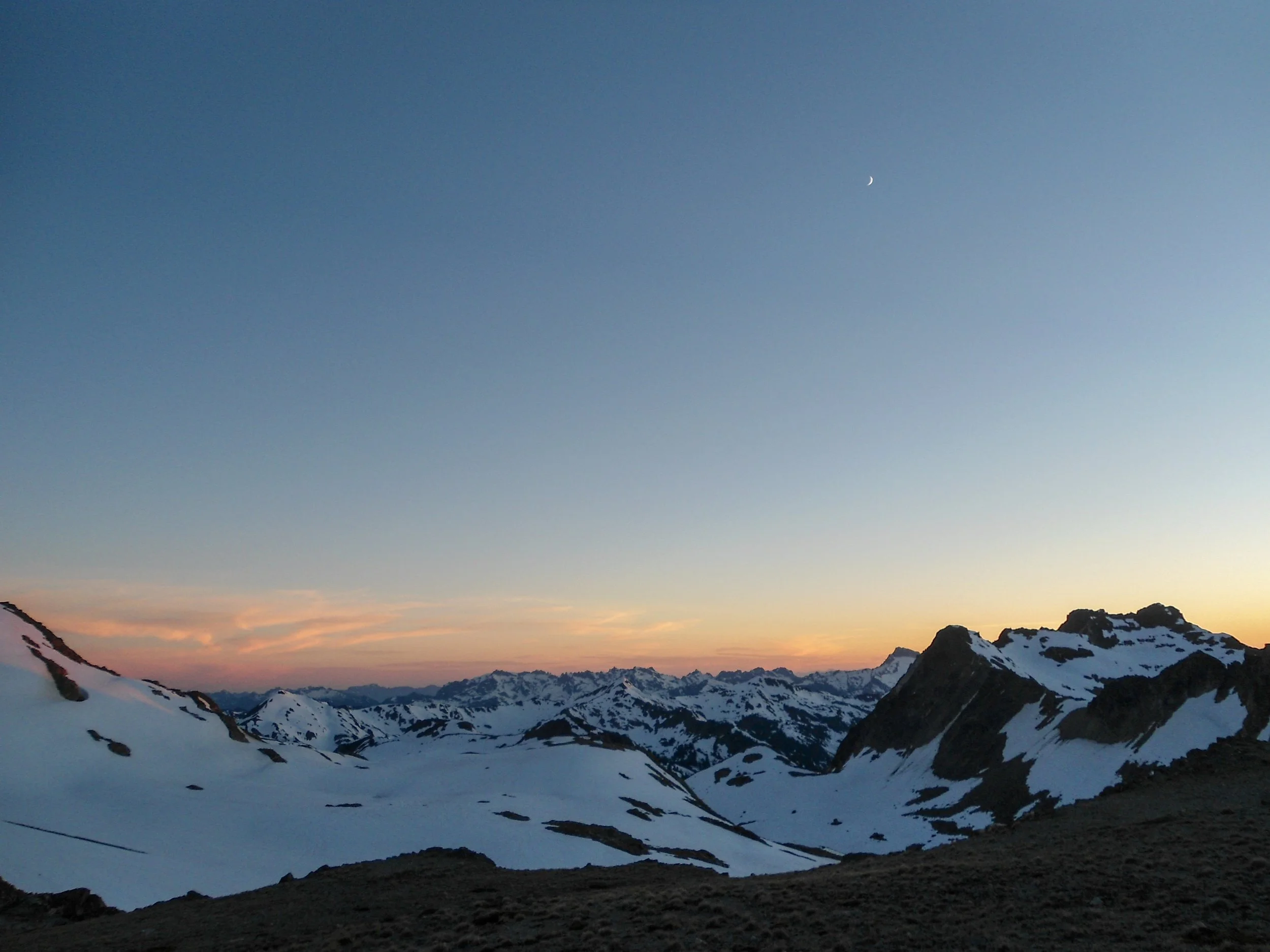
Sunset
Day 2, Friday: Day 2 started long before I planned. As the sun went down, the wind really began to pick up. This, in turn, caused Thomas to attempt to move his tent out of the wind and, in the process, break one of the tent poles, forcing him to jerry-rig it together in the pitch black. You can imagine my confusion when he woke me up to help him at 12:30. Because of that, I pushed back my alarm to 5:45 so Thomas could get some much-needed extra sleep. After getting up, shivering in the cold, grabbing water, and waking up one sleepy Thomas, we got on the trail just after 6 am. The route immediately got steep, so we put on our crampons for the first time on the whole trip. Once above the slope, we found ourselves looking directly at Glacier Peak. In front of us, the route dropped into a bowl before ascending a long rock ledge that extended up to the Gerdine Glacier. We quickly descended and dropped our crampons before heading up the ridge. At around 7,800 feet, the terrain changed from rocky meadows to a boulder field, slowing our progress. At 8,200, we got tired of the rocks and elected to hop onto the snow, joining a bootpath. The bootpath ran parallel to the rock ledge all the way up to 8,400 before turning right and onto the Gerdine Glacier. Another route stays to the left and goes up and over Dissapointment Peak. Originally, I was going to take this route, but because the glacier looked quite secure and another group was directly in front of us, I decided to take the standard route. Once on the glacier, the route began to head northeast towards an obvious notch at 9,100'.
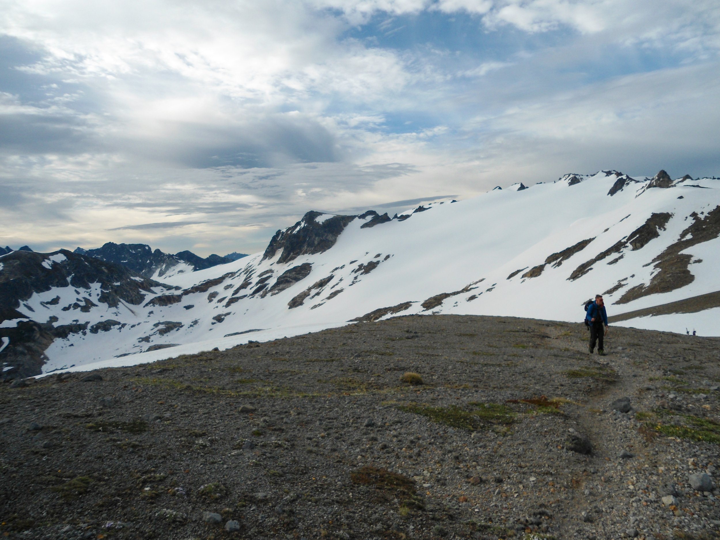
Getting on the lower part of the rock ledge
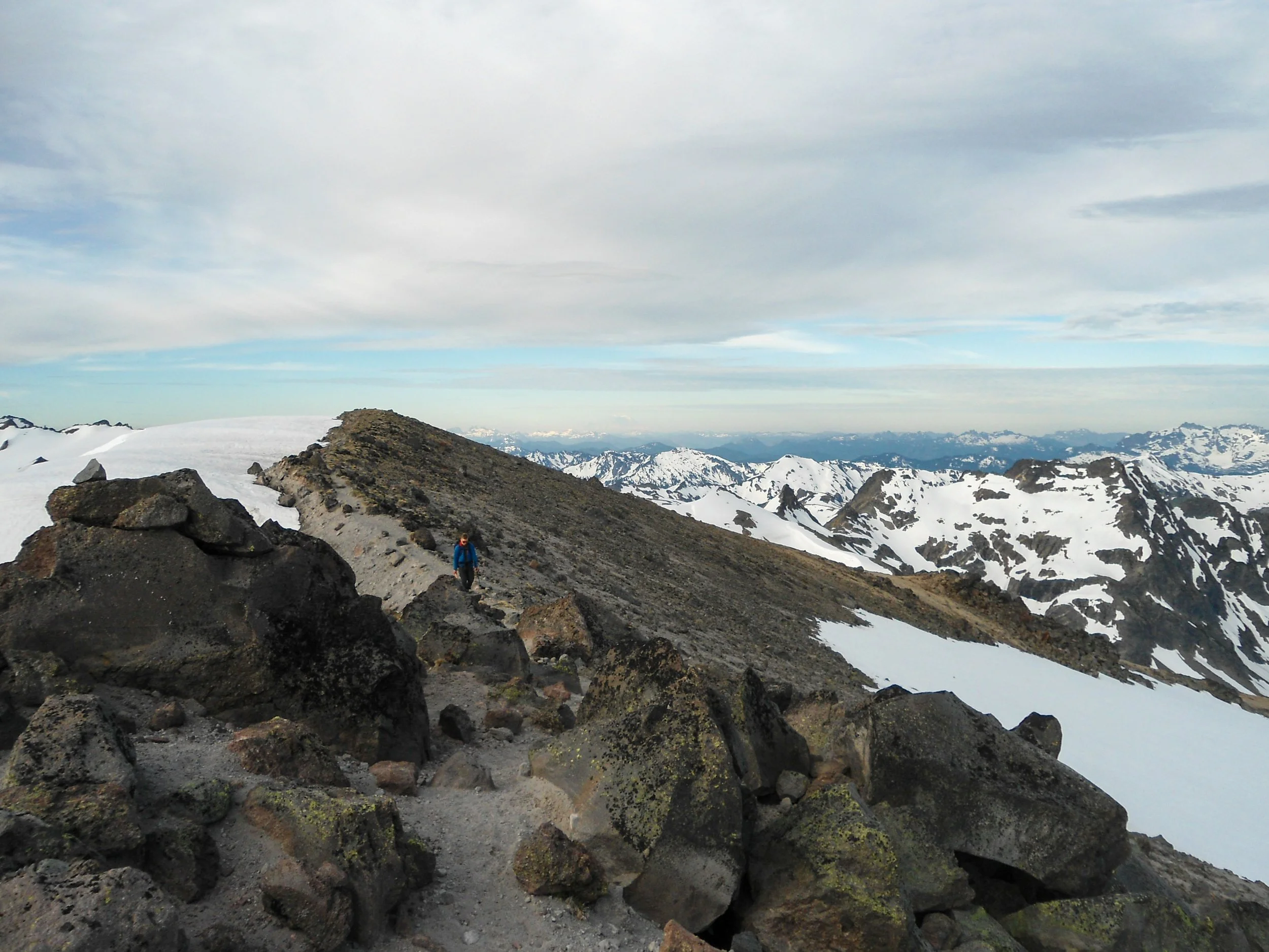
Higher we climb
Getting on the glacier
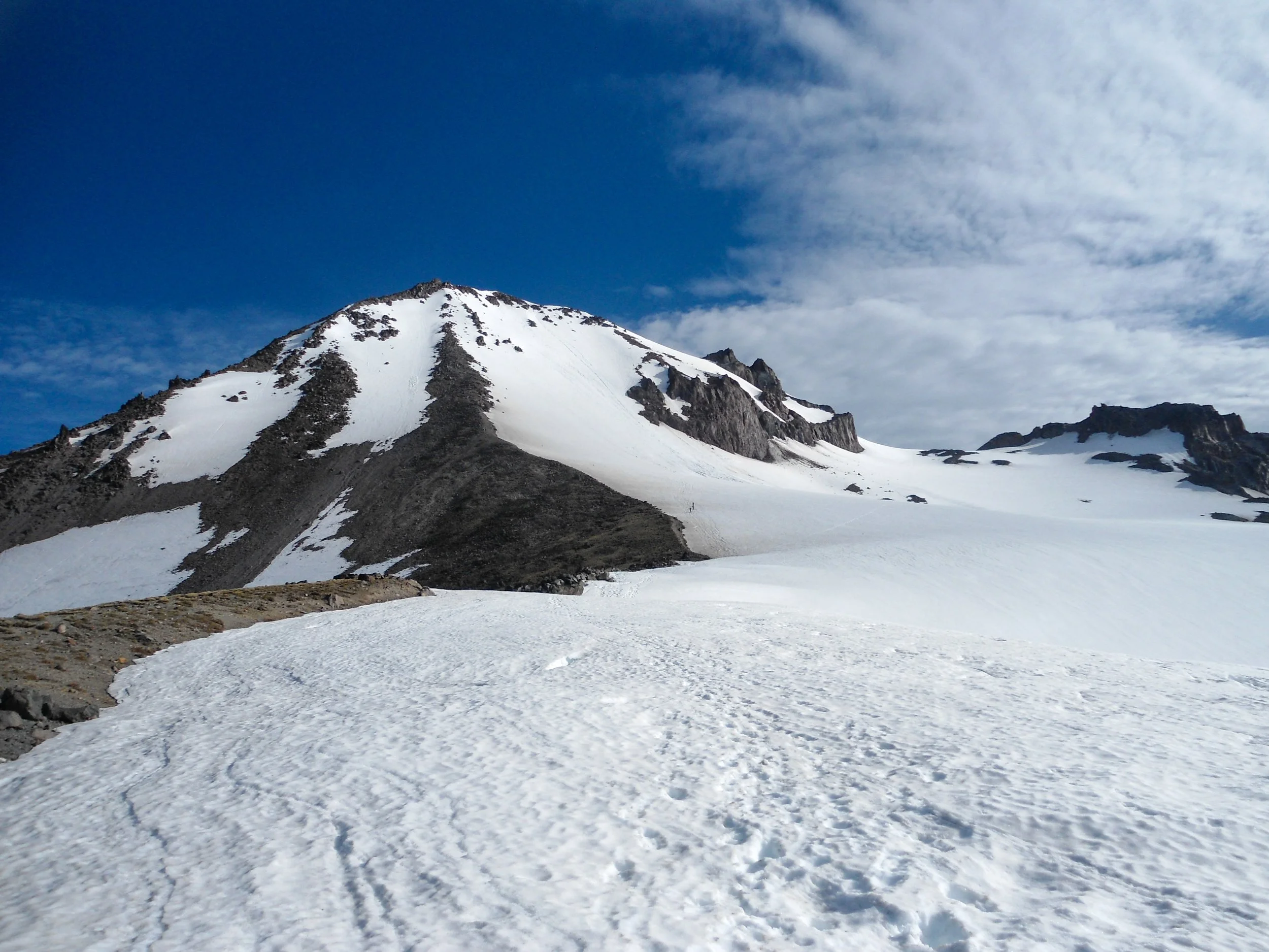
Route stays to the right
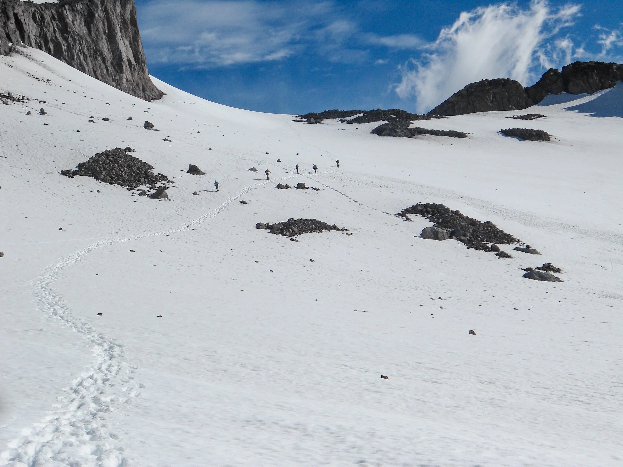
Bootpath heading towards the notch
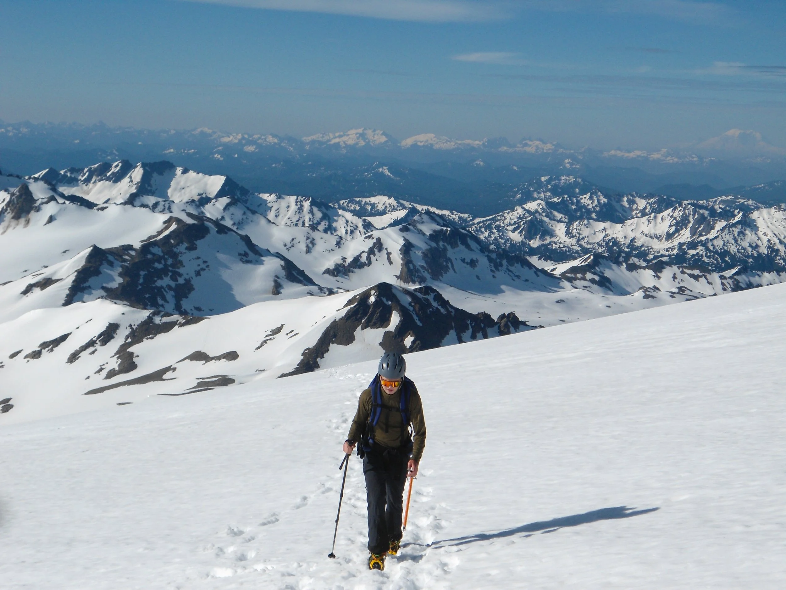
Thomas plowing forward
The route started out fairly flat before steepening as we climbed the last few hundred feet up to a rocky outcrop near the notch. There were no cravasses along the bootpack. From here, we veered left, heading west up and behind Dissipointment Peak. Here, the wind really began to pick up, and the temperature dropped like a stone. We huddled under a rock ledge at 9,600', dropped our crampons, then ascended the ledge to 9,900' before putting them back on. The snow from here to the summit was very icy as the morning sun had yet to soften it. We took steep icy snow slopes all the way to the summit at 10,550'. It took serious mental perseverance not to stop and keep pushing upwards. The views were unreal; Rainier, Baker, Shuksan, and the entirety of the Central Cascades were visible. Unfortunately, the wind cut our time up top short as we quickly shotgunned our beers before heading back down. I really wanted to get off the glacier and out of the extreme winds, so I pushed us down to 8,300'. The snow was so soft at this point that we were able to plunge step the whole way down. After a quick nap on the rock ledge, we booked it down to camp, packed up, and started the long slog out.
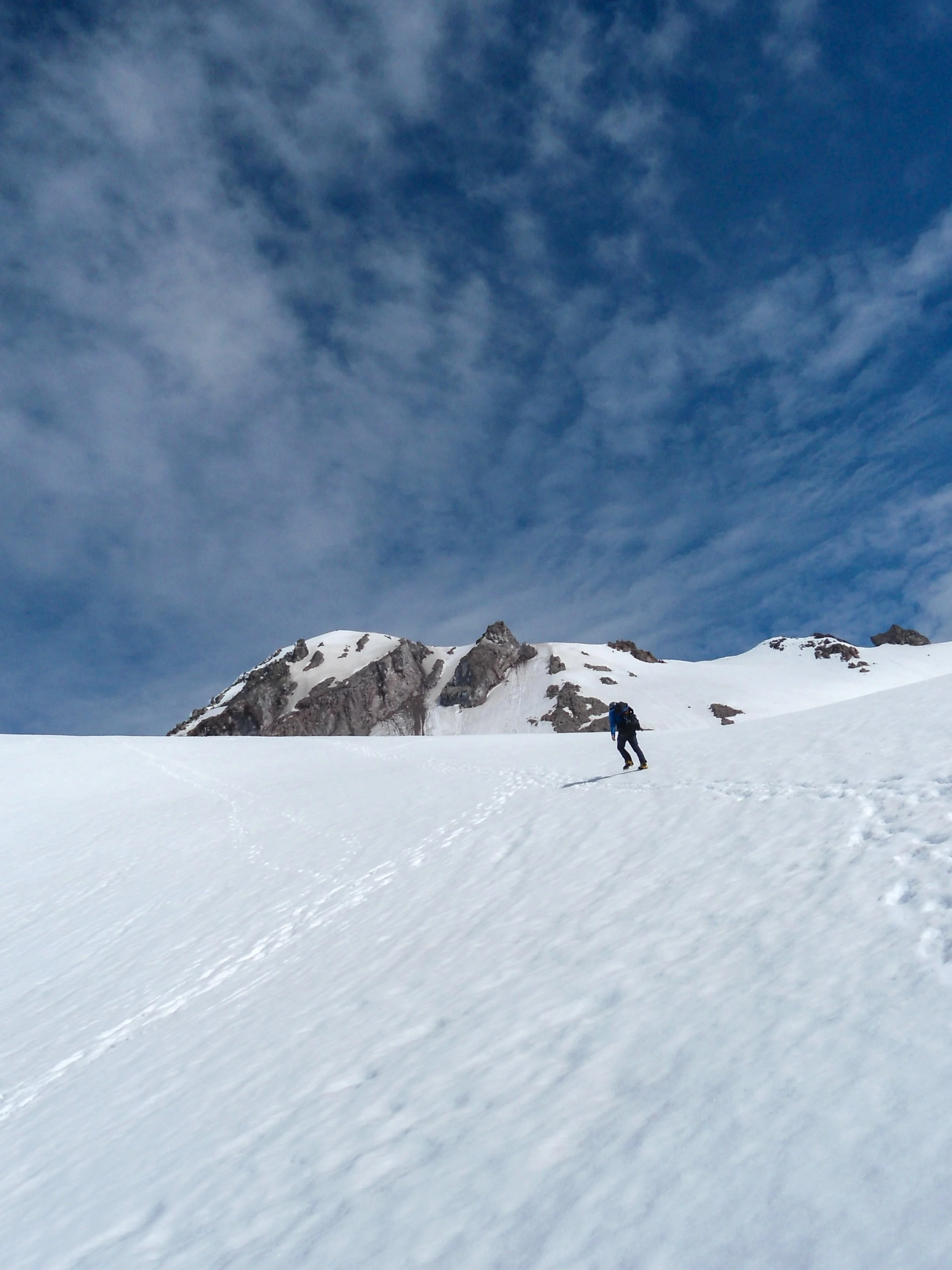
Heading up towards the rock ledge behind Disappointment Peak
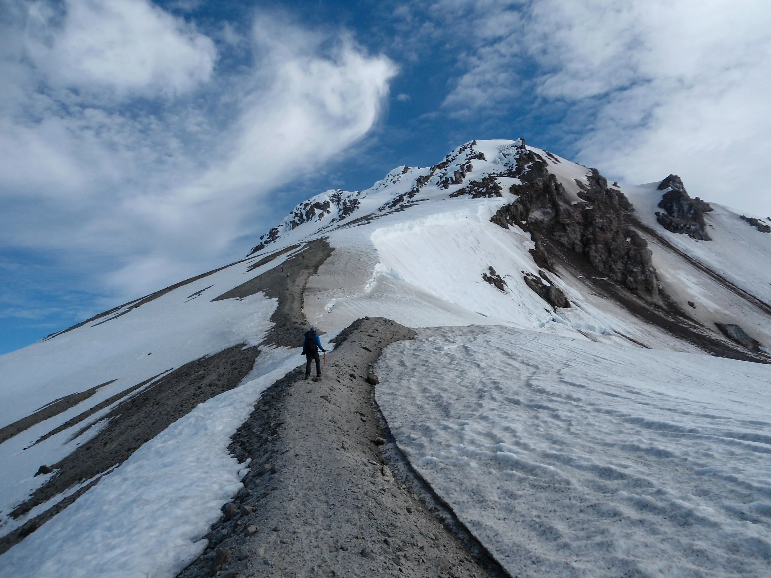
Looking up at the final push
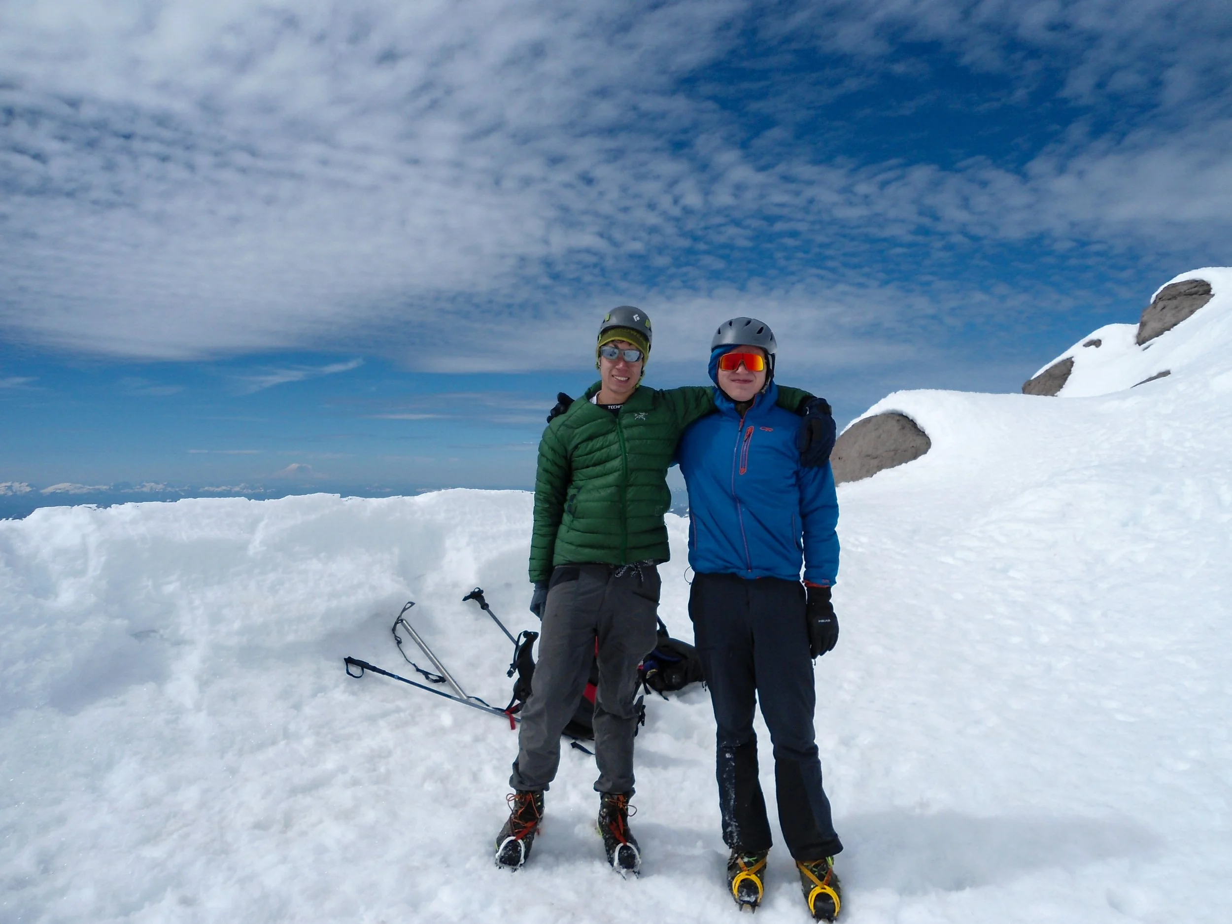
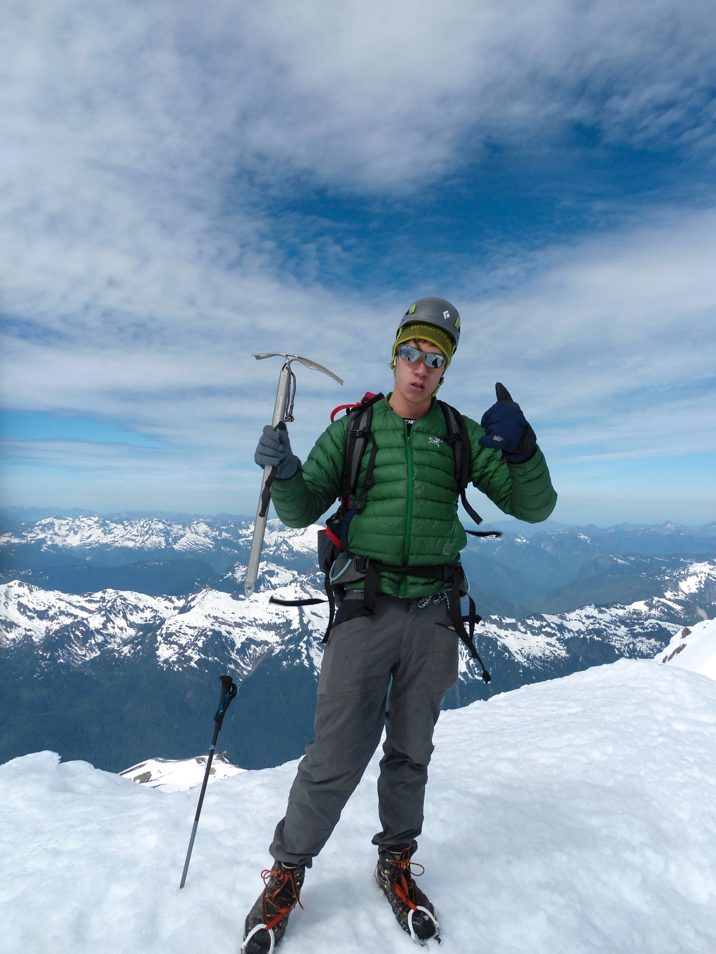
Me on top
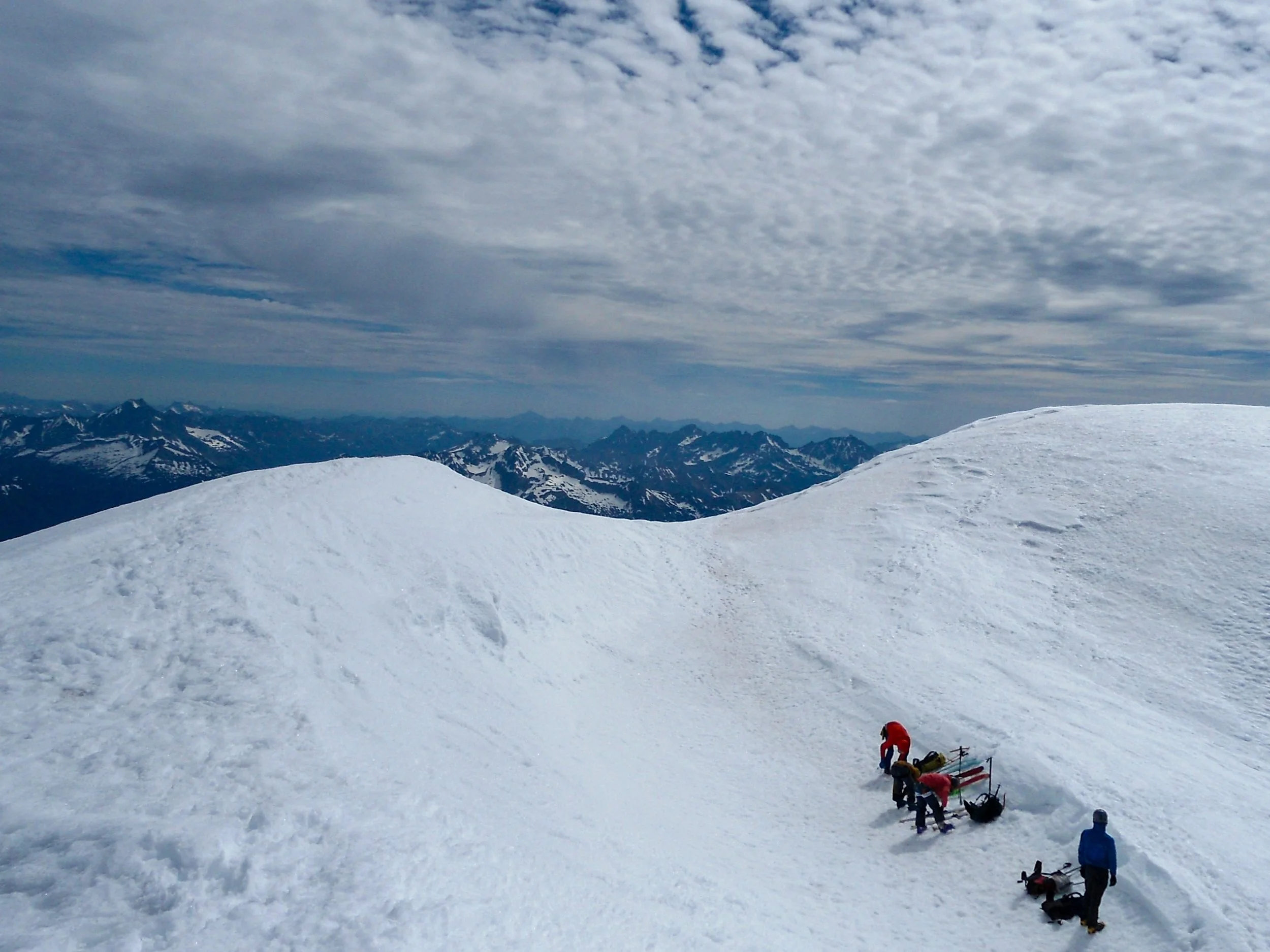
Looking down into the very small crater
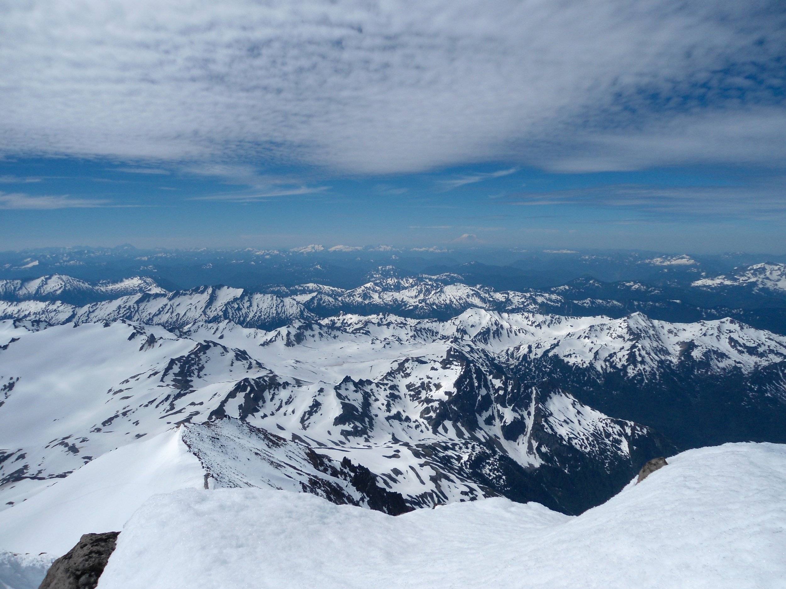
Views didn’t suck
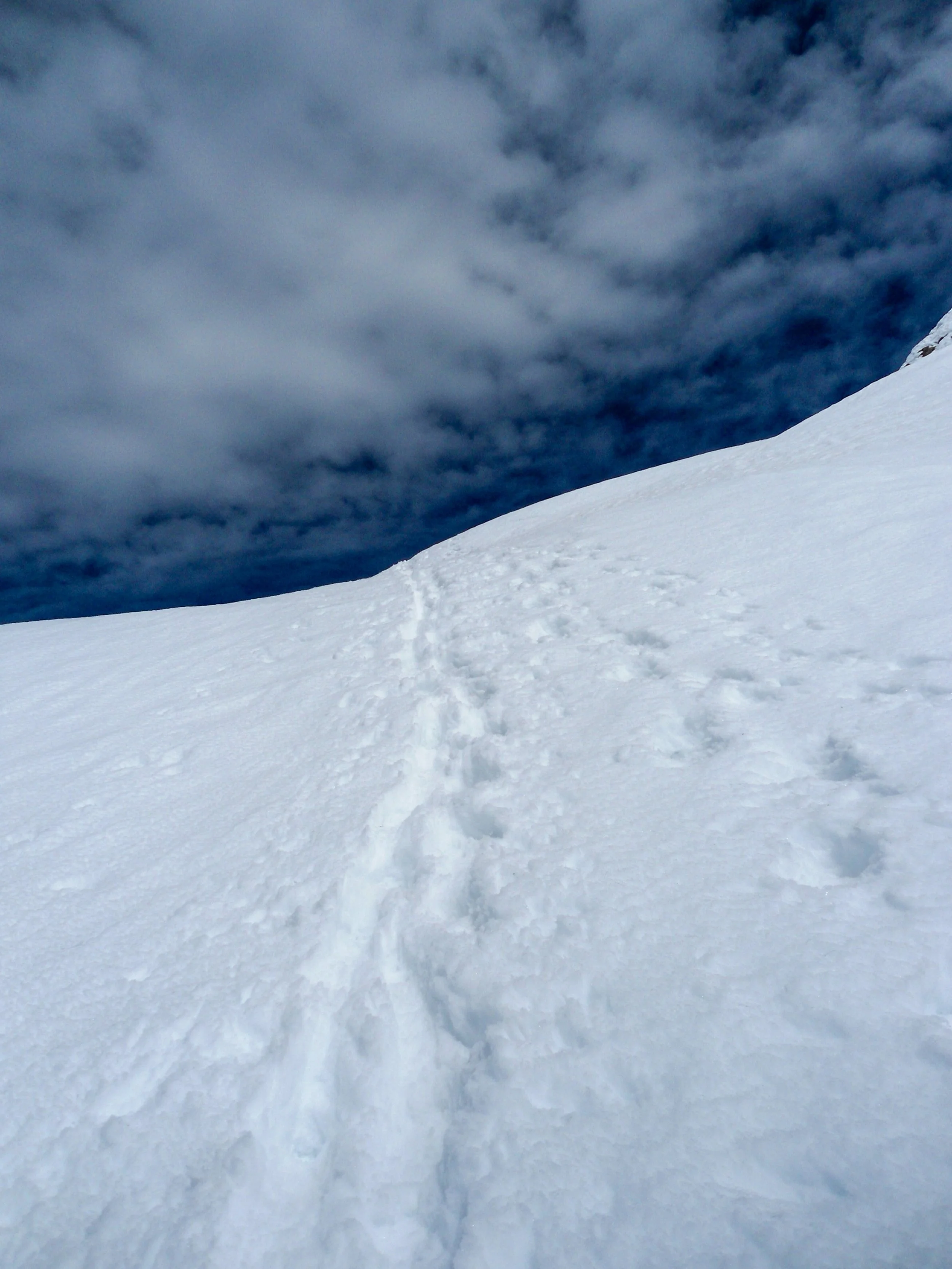
Steep section up top
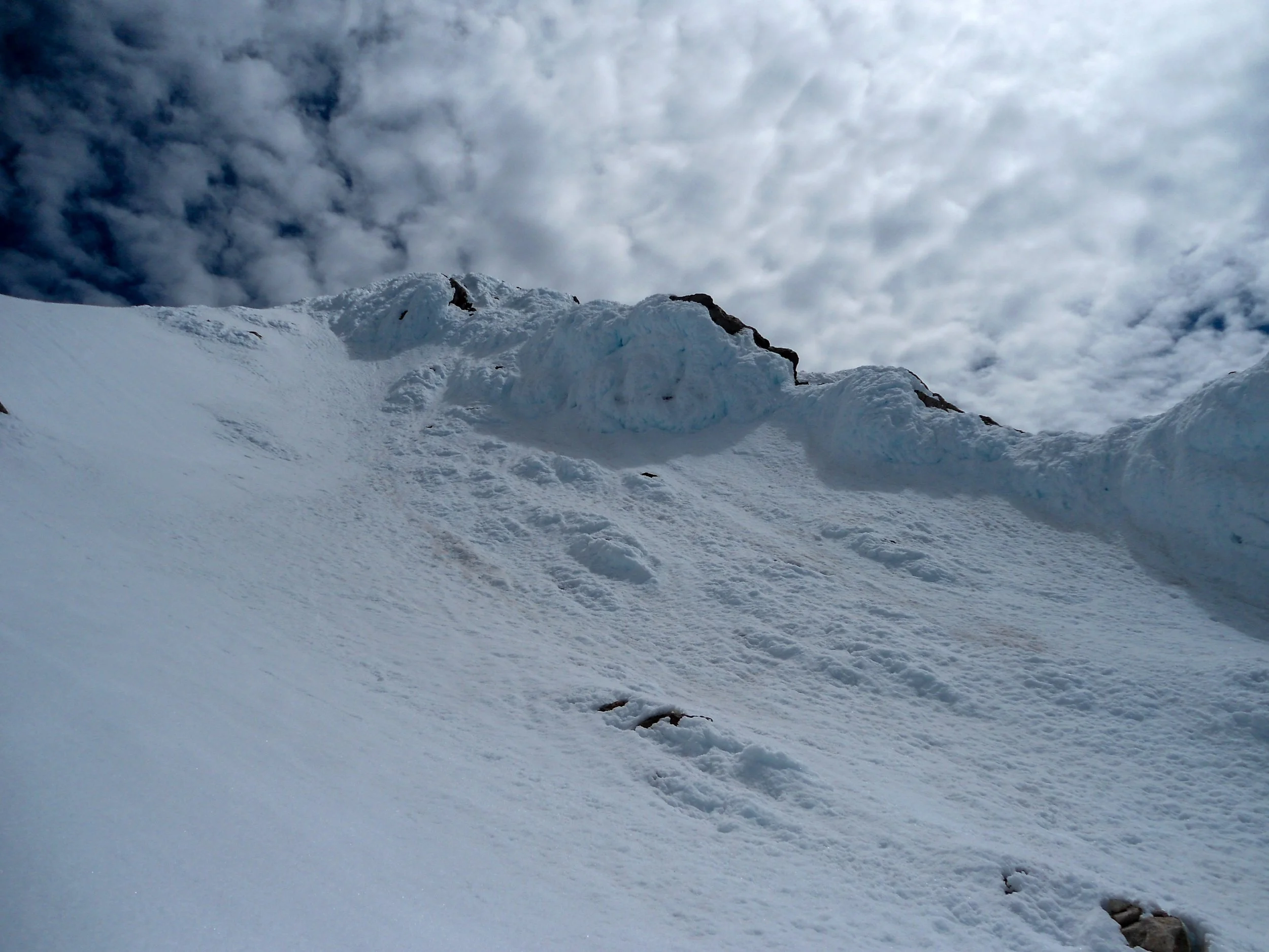
Icy summit
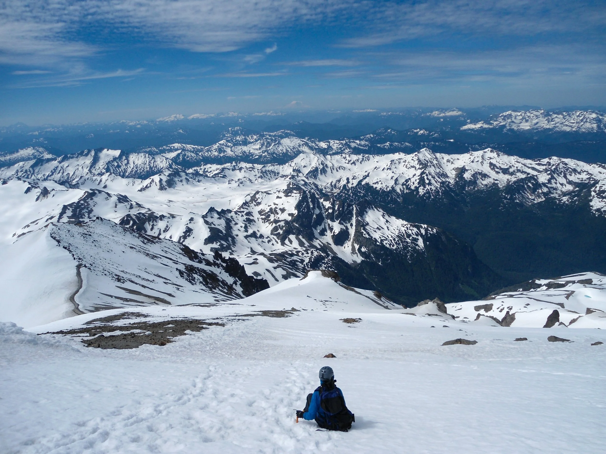
Love this shot
I forgot how tedious it was getting from Glacier Gap to Camp 1; the number of mini-bowls we had to cross was ridiculous. Once past camp 1, we worked through the final two major up and down sections before descending from Marmot Pass to White Pass. Thomas's hips and shoulders were hurting, but he thugged it out as we continued descending, all the way to the North Sauk Campground. From Glaicer Camp to the North Fork, we ran into 25 groups and around 100 people heading up. The official campsites were all taken, but we found a nice little spot to set up our tent/bivy, build a fire pit, and move a log for seating. Nothing like a warm meal around a fire after 30 miles in two days. I just wish we had brought s'mores stuff.
Day 3 Saturday: After sleeping in until 7am, I got up, grabbed some water, and started another fire to warm myself. Once Thomas got up around 8:30, we packed up camp and made the final 5.5-mile journey back to my car. We ran into a few groups heading up, notably a group of 12, at the trailhead logbook.
Overall, the approach to Glacier Peak takes you through some of the most pristine alpine meadows in Washington, making the climb worthwhile whether you summit or not. Glacier Peak itself is a basic mountaineering climb comparable to Adams, especially since the glacier is safer this time of year. We saw 4 other parties up top, none of whom were roped up; however, all but 1 had a rope with them. I recommend going during the week; well over 125 people were heading up on the weekend, which would defeat the purpose of visiting such a remote area. Shoutout to Thomas for absolutely killing it this trip and being such a trooper. Until next time, Happy Hiking and Stay Safe!
Final Stats: 35 Miles - 11,000' Elev Gain - 18:30 Moving Time
