Mount Callaghan BC
6/14/26
Mount Callinghan is a semi-prominent peak in SWBC and the highest point of the Squamish-Cheakamus divide, nestled between the Tantalus and Garibaldi Provincial Parks. The standard route begins at Lake Callinghan (4,000’) and involves steep snow travel and a class 2+ scramble to the summit. This presented the perfect opportunity for my friend Abe to practice crampon use in a safe setting.
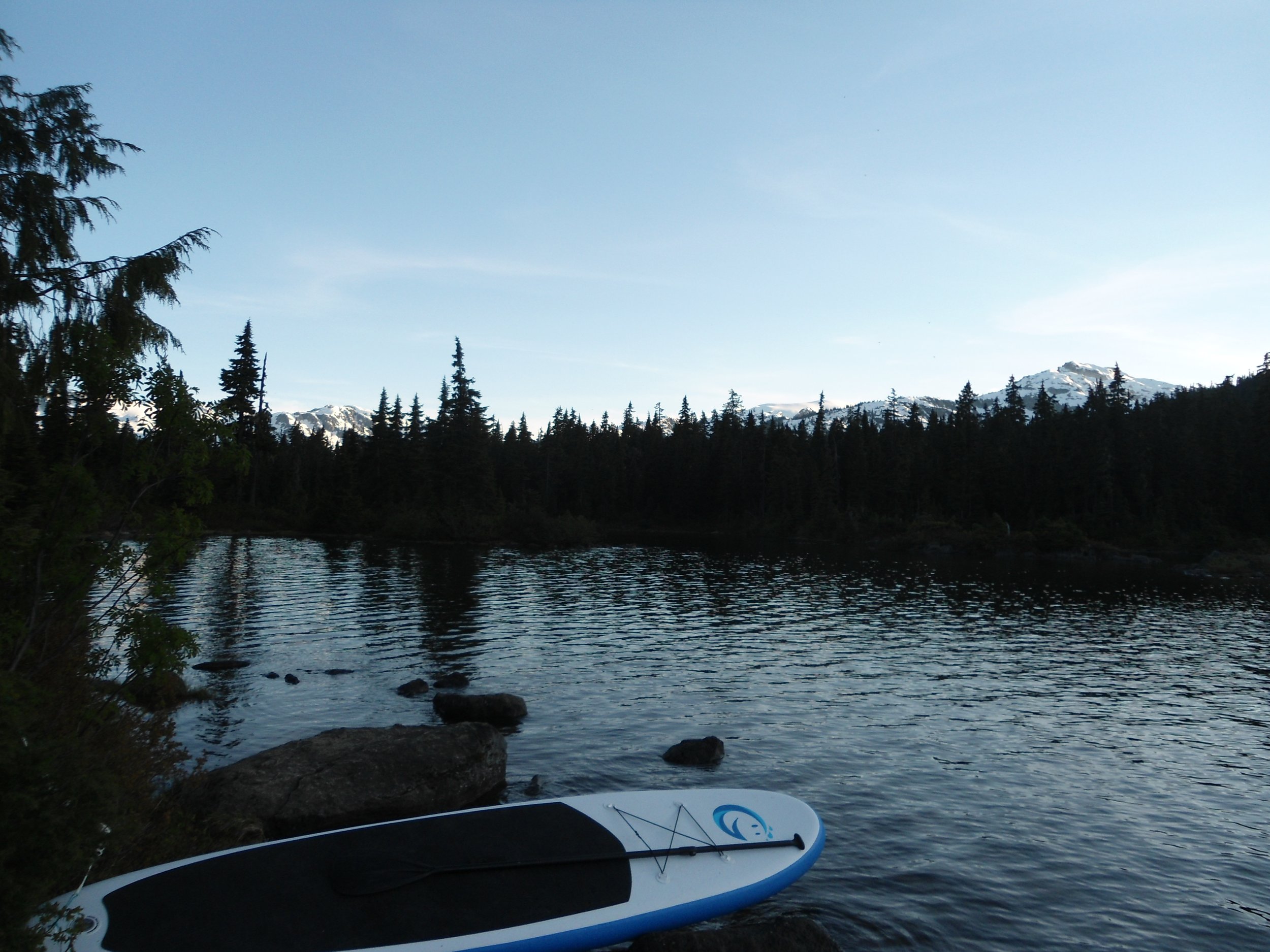
After climbing Sky Pilot on Saturday, we stopped in Squamish before heading to Lake Callighan. The FSR was manageable, but the sharp dips can easily scrape your car’s undercarriage. Lake Callinghan was packed; every designated campsite was occupied. Fortunately, we found a spot next to our car. After setting up, we enjoyed some much-needed rest on the lake shore. Hidden Peak provided a striking backdrop at sunset.
I mean come on
Our little spot
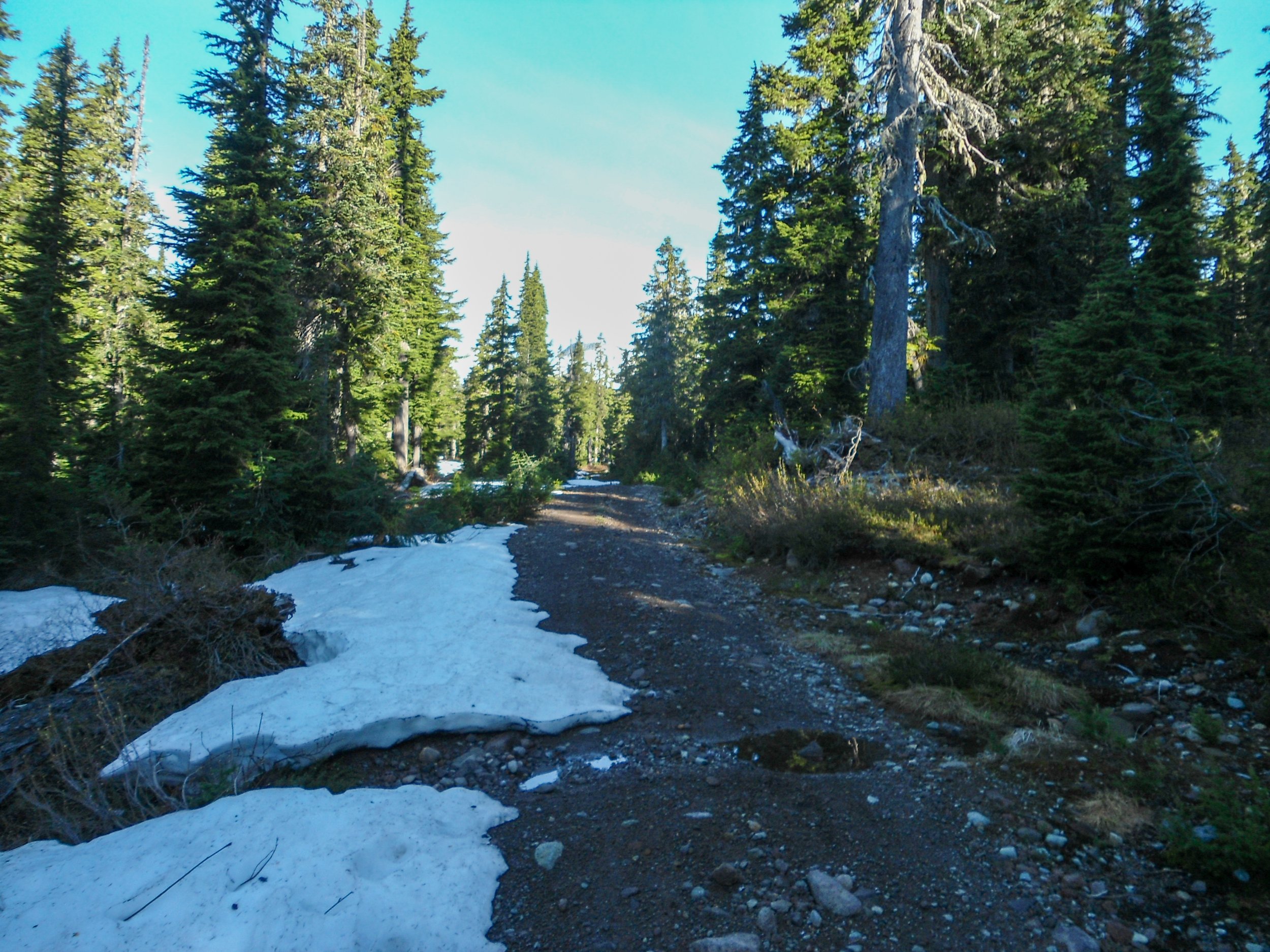
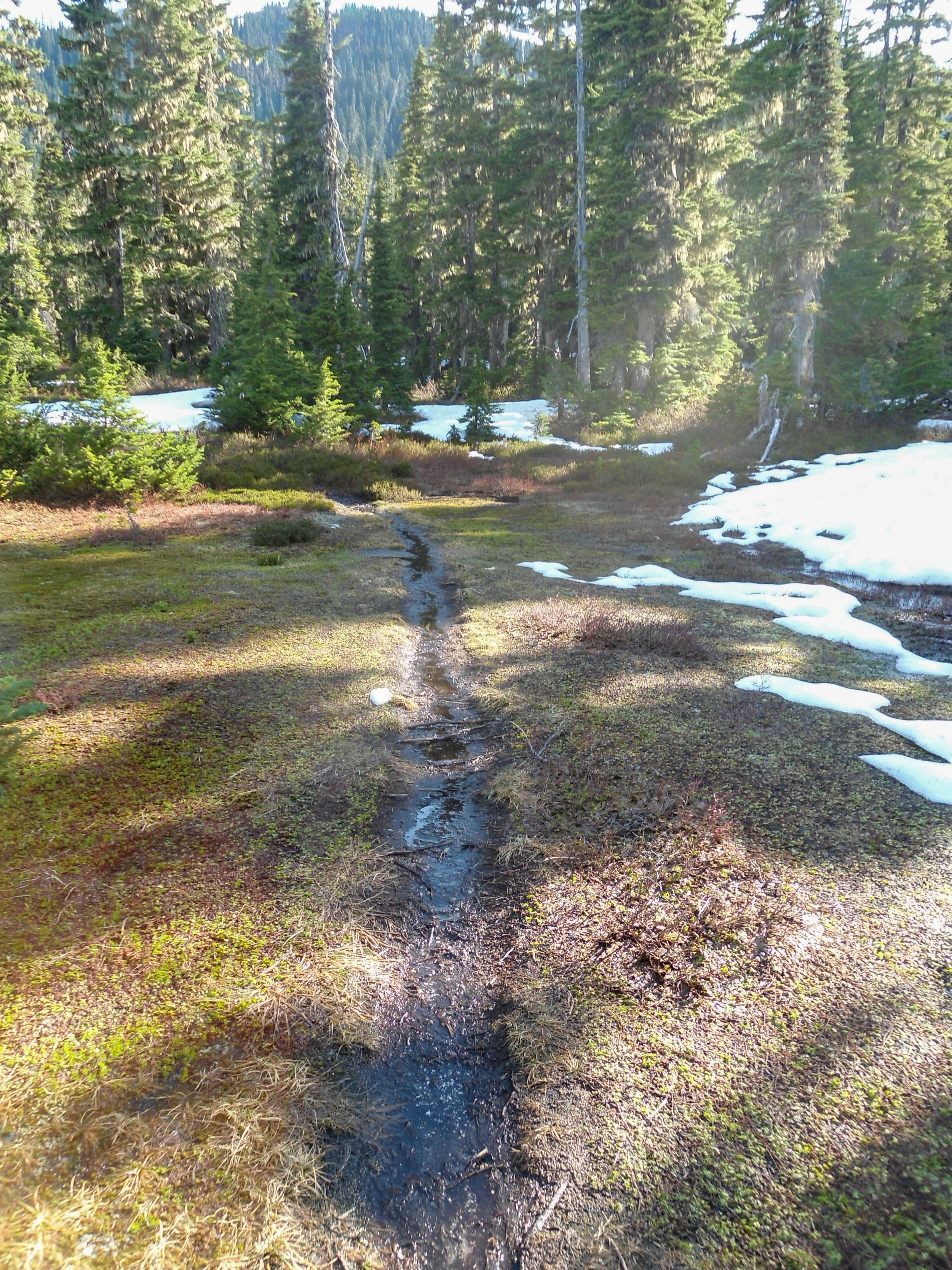
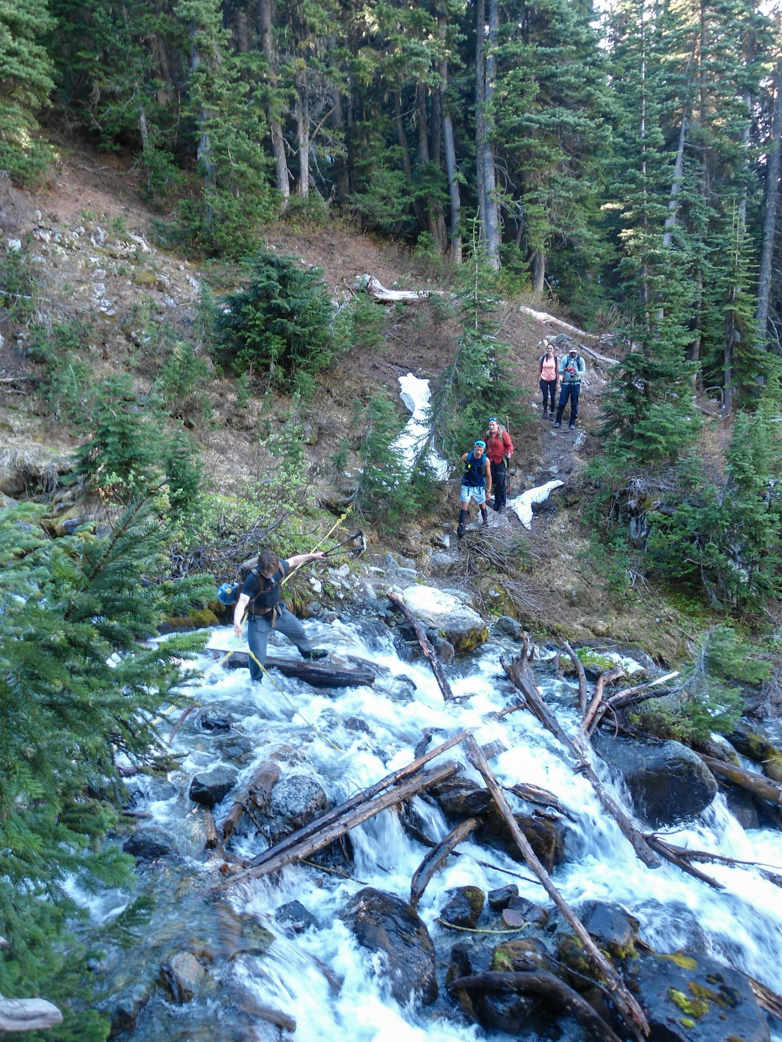
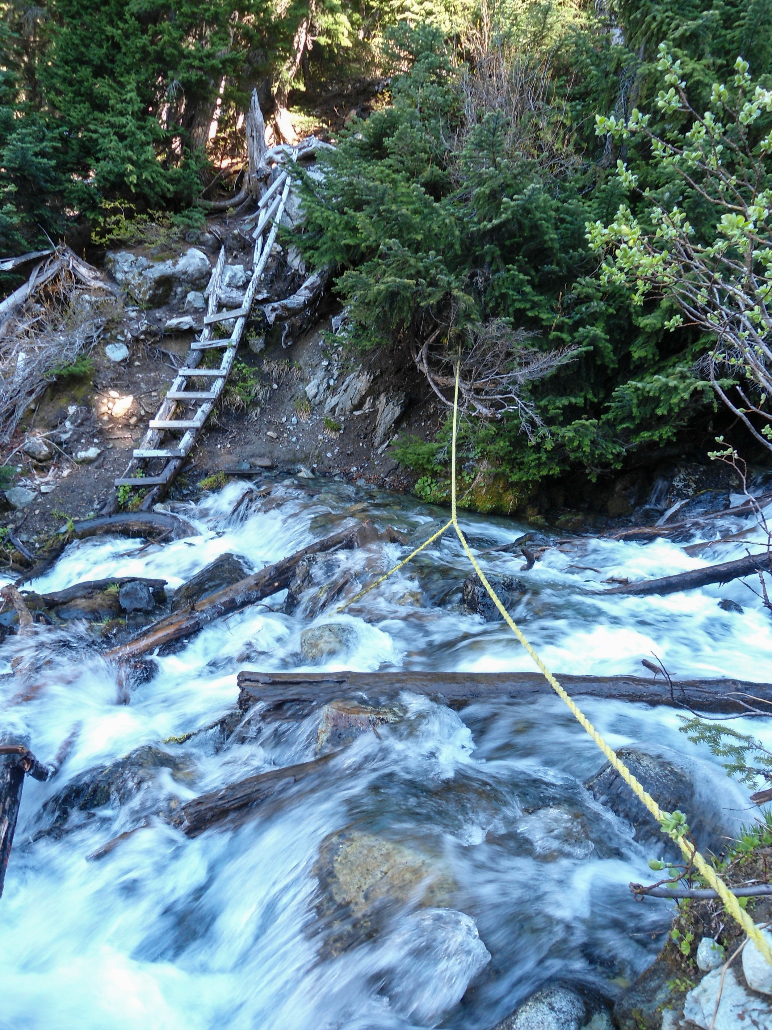
We started at 6:30 am, later than planned. The initial section along the Conflict Lake Trail was mostly flat before we turned off and joined Upper Wild Spirit Road about a mile in. Snow appeared in patches, consolidating into a snowpack as we approached Conflict Lake, roughly 3 miles in. We remained to the right of the lake and continued following the FSR. After 3.3 miles, we reached the Journeyman Lodge, which caters to ski tours and is exceptionally nice. There, we switched from approach shoes to boots since our feet were starting to get wet. Past the lodge, the route skirts Conflict Lake and then climbs into Ring Valley—a marshy area between Conflict and Ring Lakes. The trail soon degraded into deep mud and water—a recurring theme. After slogging across the valley floor, we angled right and ascended the hillside, where patchy snow made navigation difficult. At 5,000’, we came to a creek crossing with a rope. The creek was raging, and both Abe and I slipped on a slick log, soaking our feet. Luckily, they were already drenched from Ring Valley. Past the creek, the trail steepened as we continued northwest, ascending above Ring Lake.
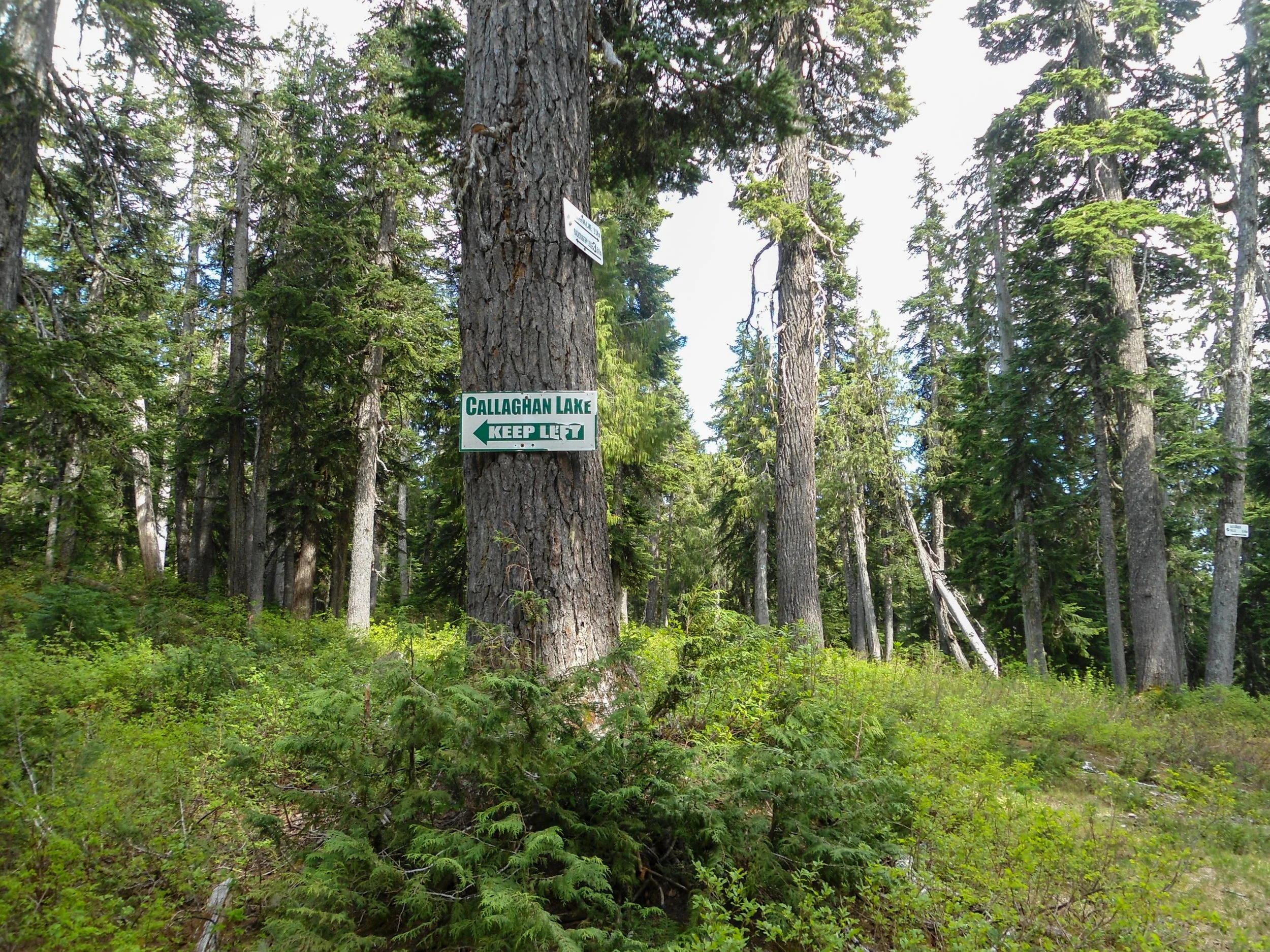
Trail marker as we got on the FSR
Lotta of this
Just past Conflict Lake
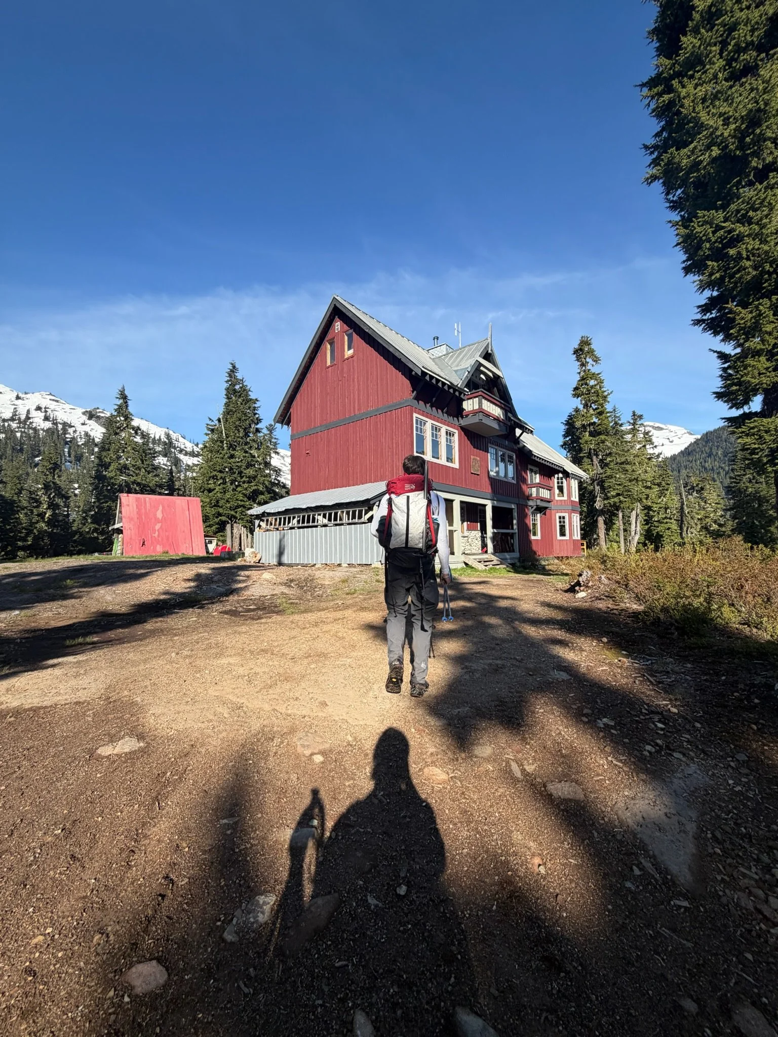
The lodge
Ring Valley
Abe getting his boots wet
Whole lotta water coming down
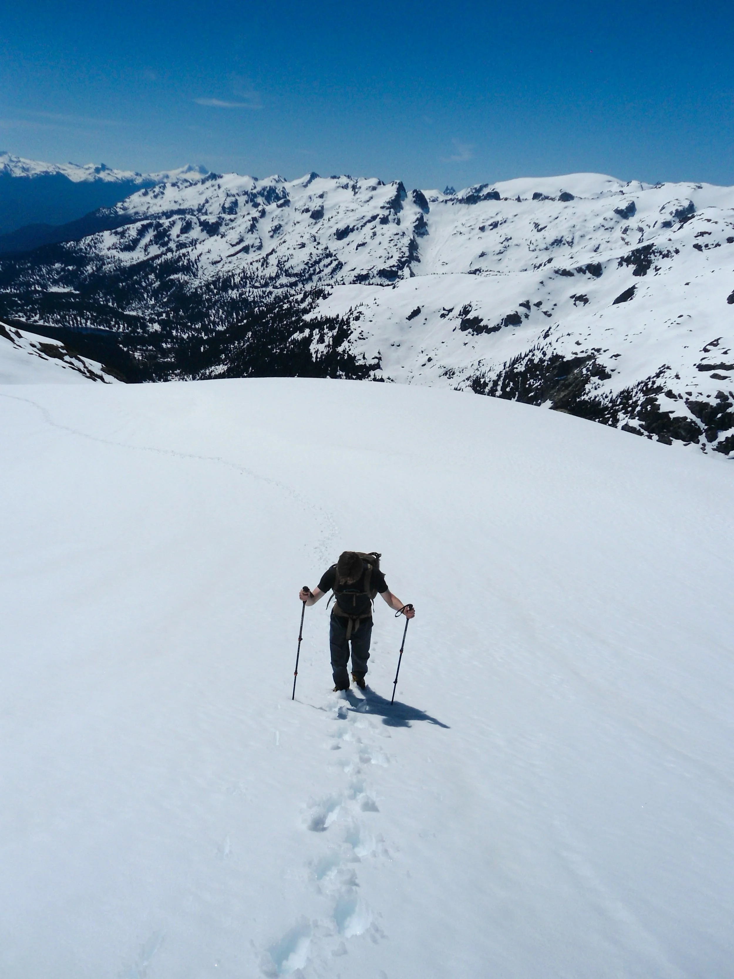
At 5,600’ with the route behind Abe
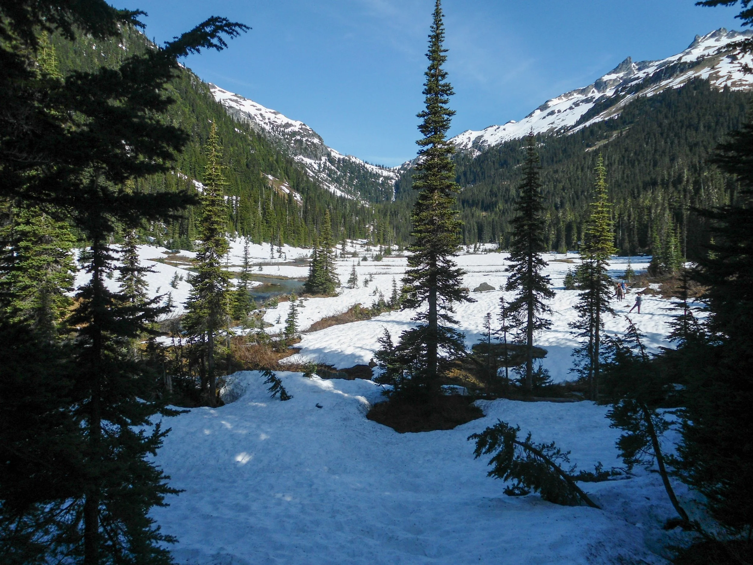
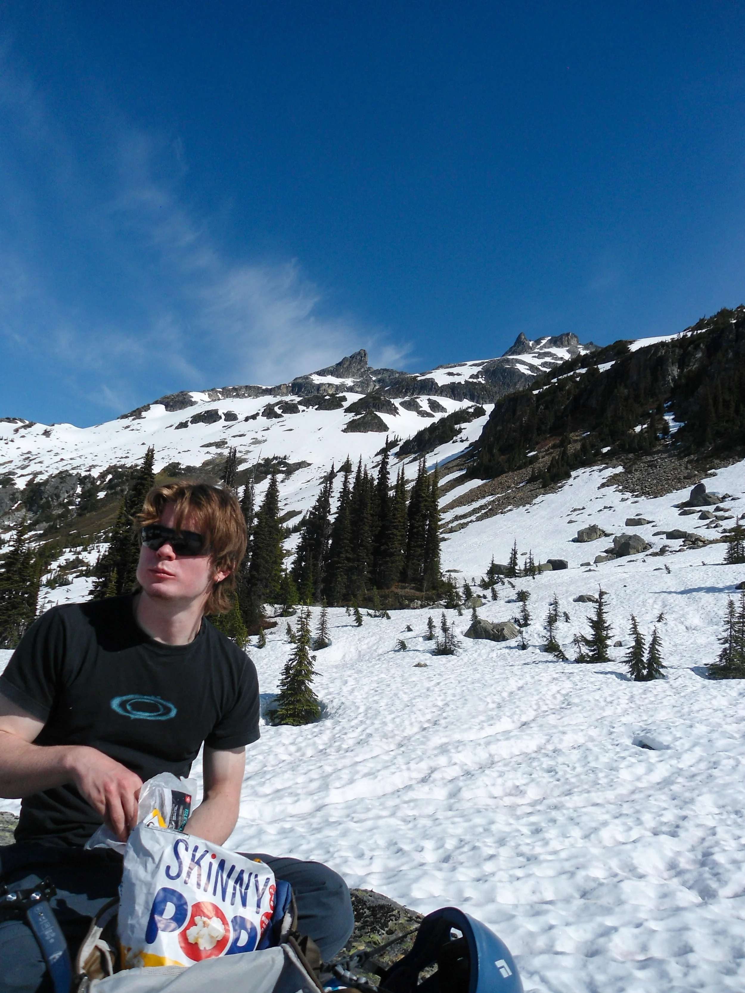
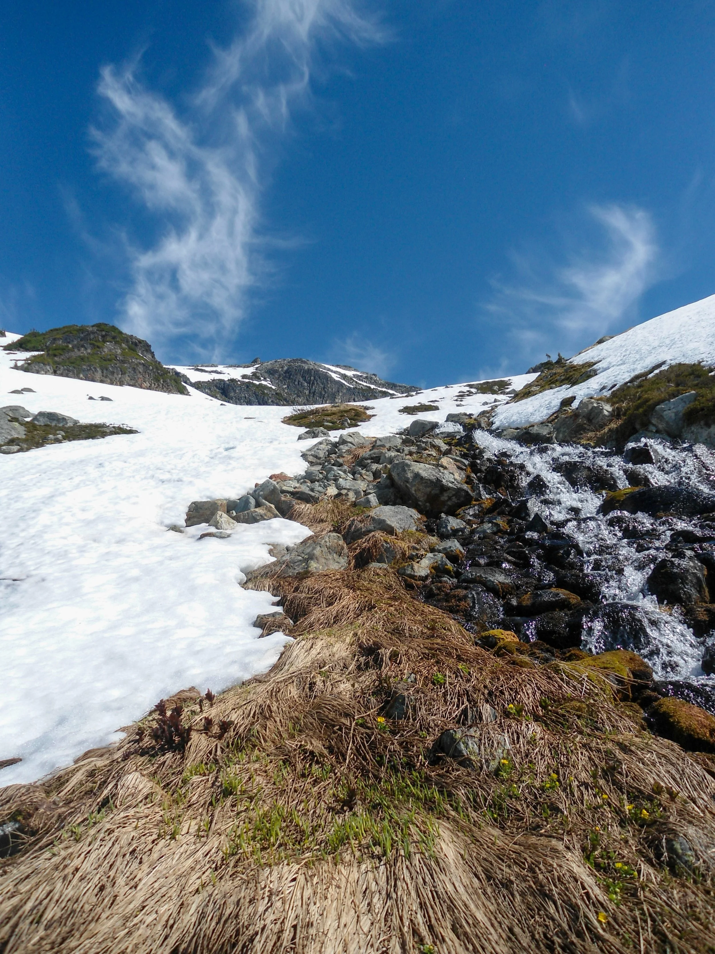
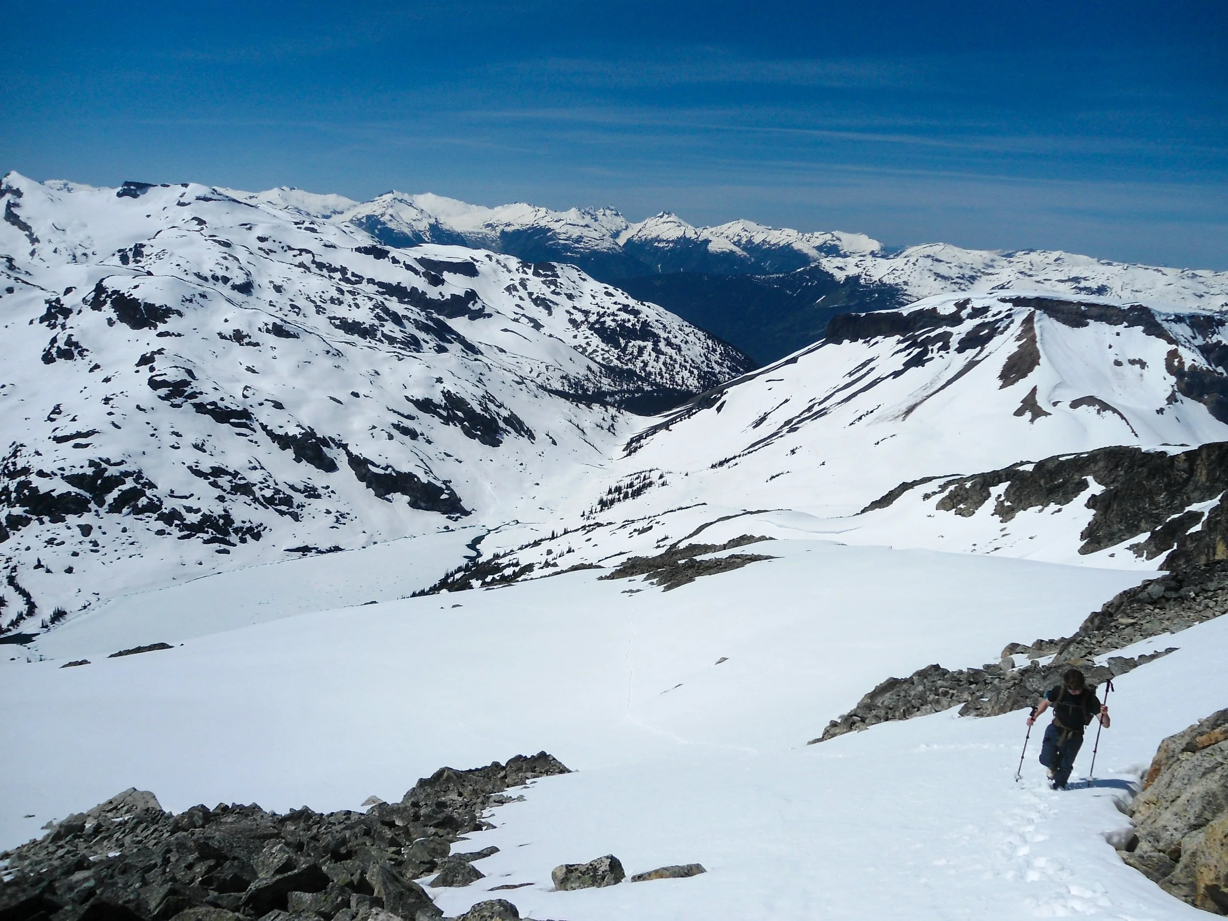
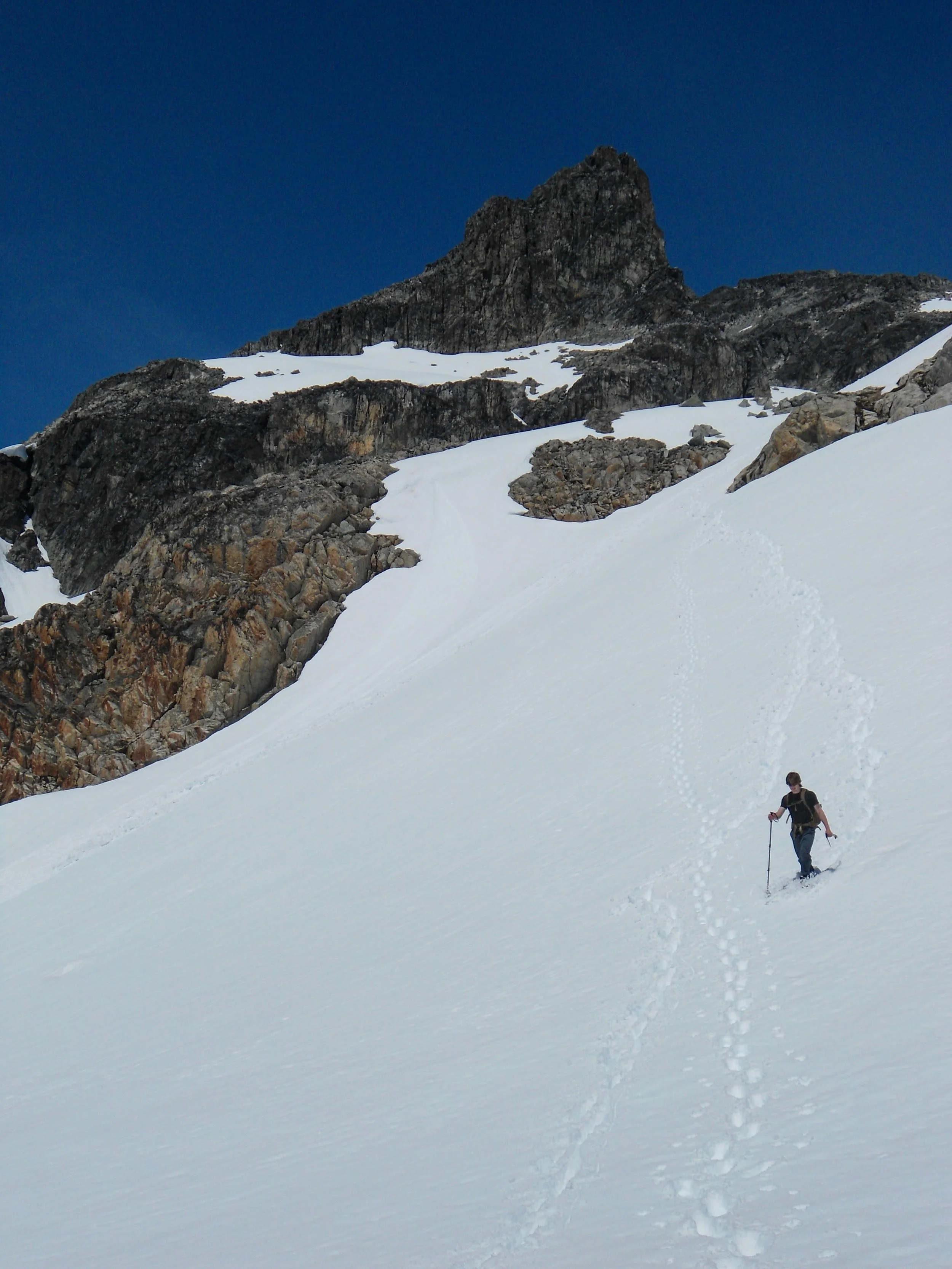
At 5,600’, we finally broke out; Ring Lake sat a quarter mile to the west. We took a break here, enjoying the stunning views while putting on our crampons. Snow peaks like Callinghan, Ring, The Nutcracker, and Hidden Peak towered all around us. From this spot, we continued northwest, trekking up steep, soft snow. At 6,000’, we crossed a creek that fed Ring Lake; it was the last source of running water. After the creek, we headed north, climbing straight up a snow gully and arriving at 6,800’. The route then angled northwest and back northeast, bypassing a rock formation into a mini bowl beneath the summit block. Taking the most direct route, we ascended a steep 300-foot gully.
At the creek
Up we go
Views really starting to open up
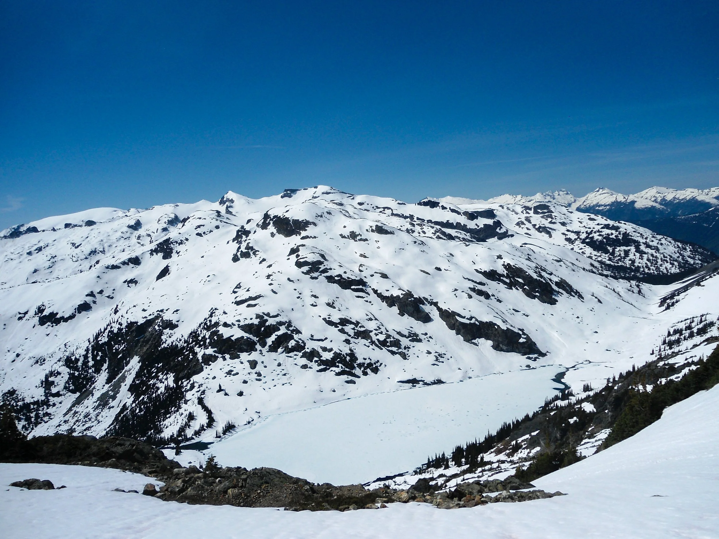
Looking down on Ring Lake
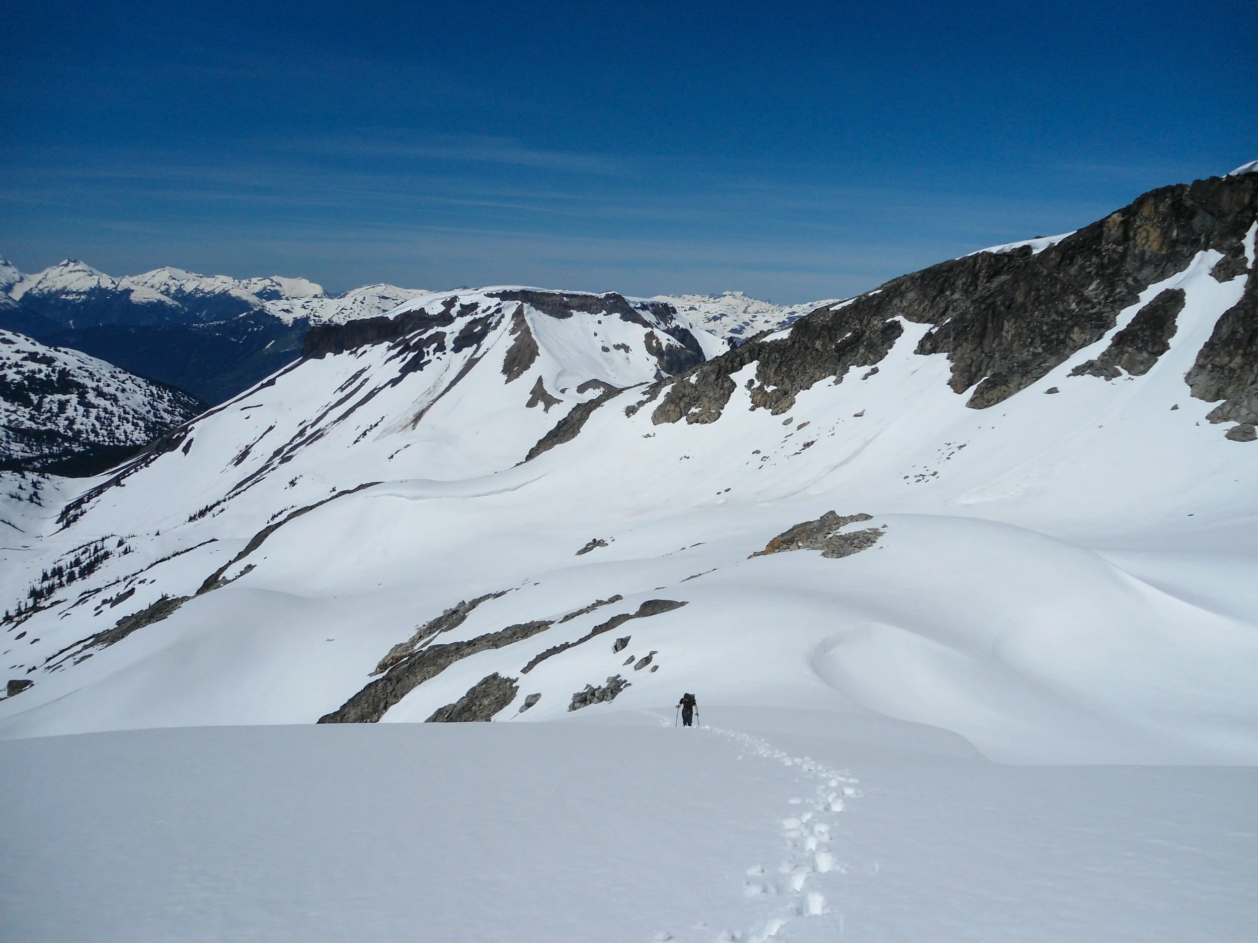
Abe down below
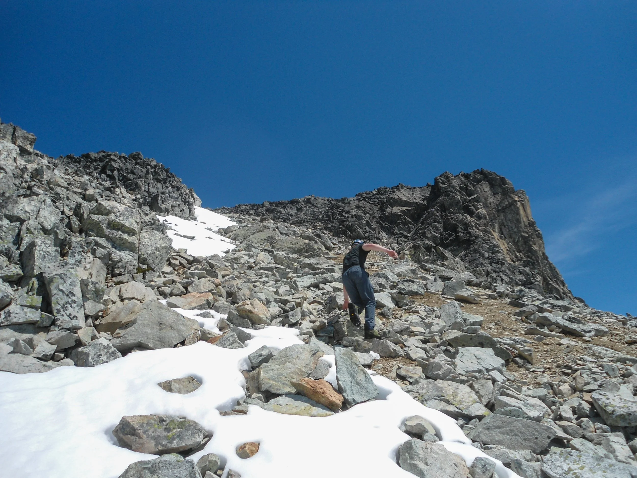
Looking down the steep gully, not to bad
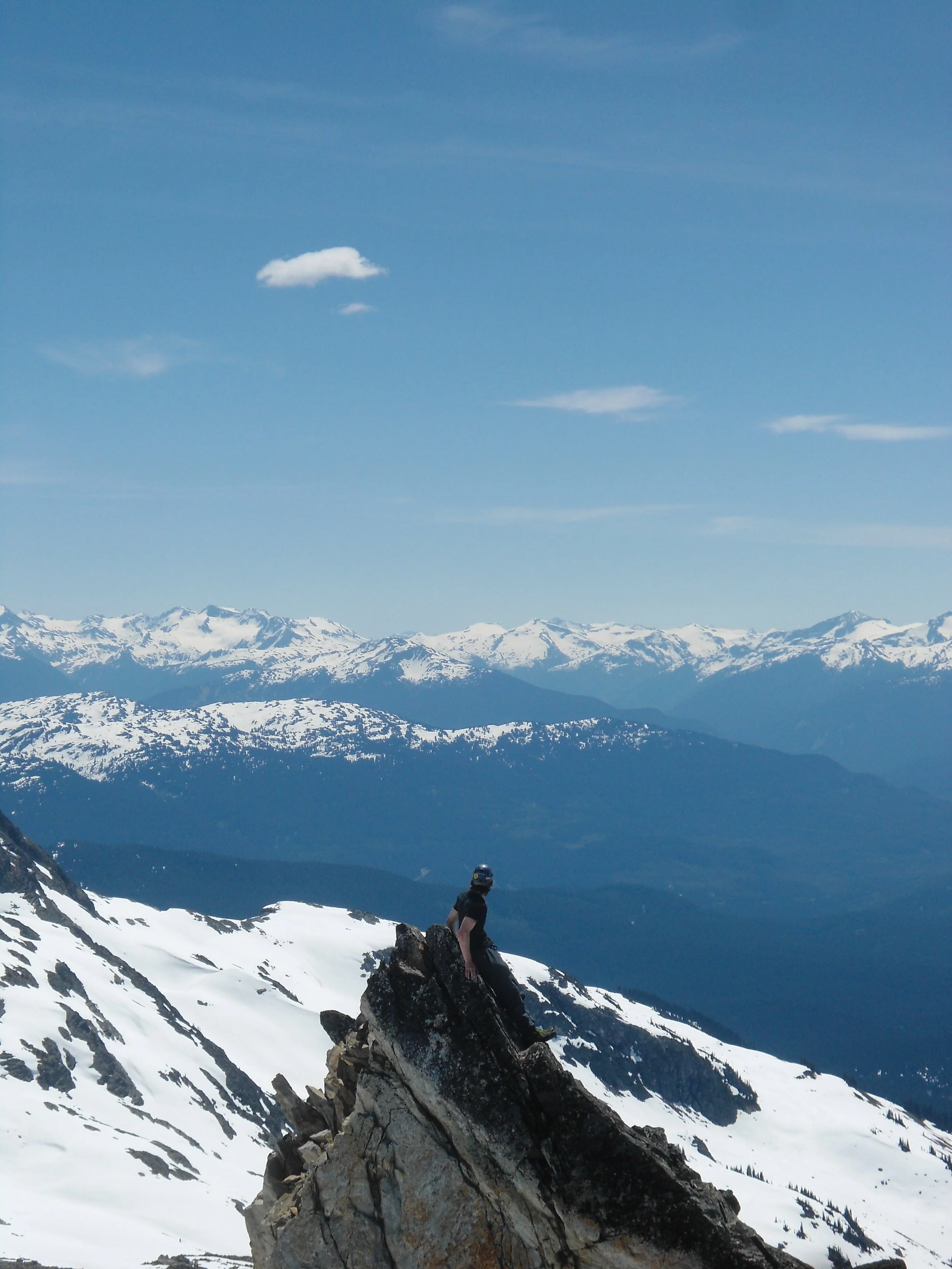
Once off the snow, we removed our crampons for the final 400’, which called for a class 2+ scramble to the top. The summit views were jaw-dropping. Callaghan’s prominence allowed us to fully take in the vastness of BC, with hundreds of peaks stretching out in every direction. Seeing the different sides of Garibaldi and the Black Tusk —after viewing them from Sky Pilot the day before—was awesome. The sheer number of visible peaks, especially to the far north, was almost overwhelming. Although I haven't explored the Lillooet range up close, the view gave me a glimpse of its glaciated summits. The glacier-clad backside of Callaghan was simply stunning.
Up we go
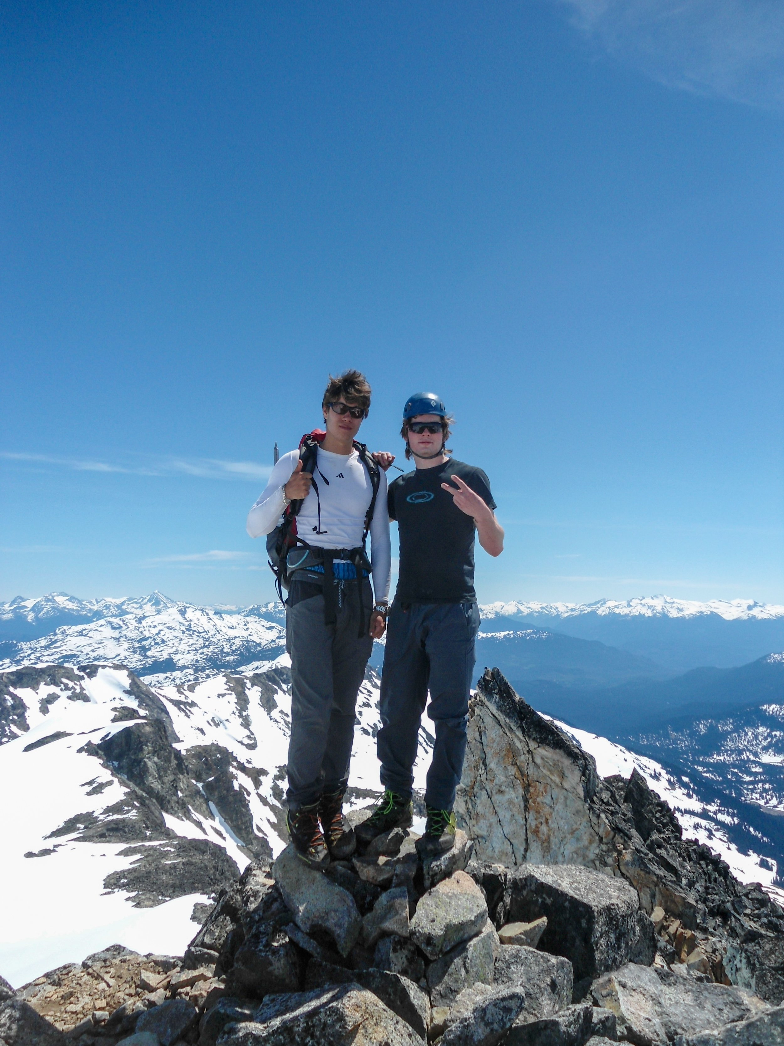
Summit shot
I mean…
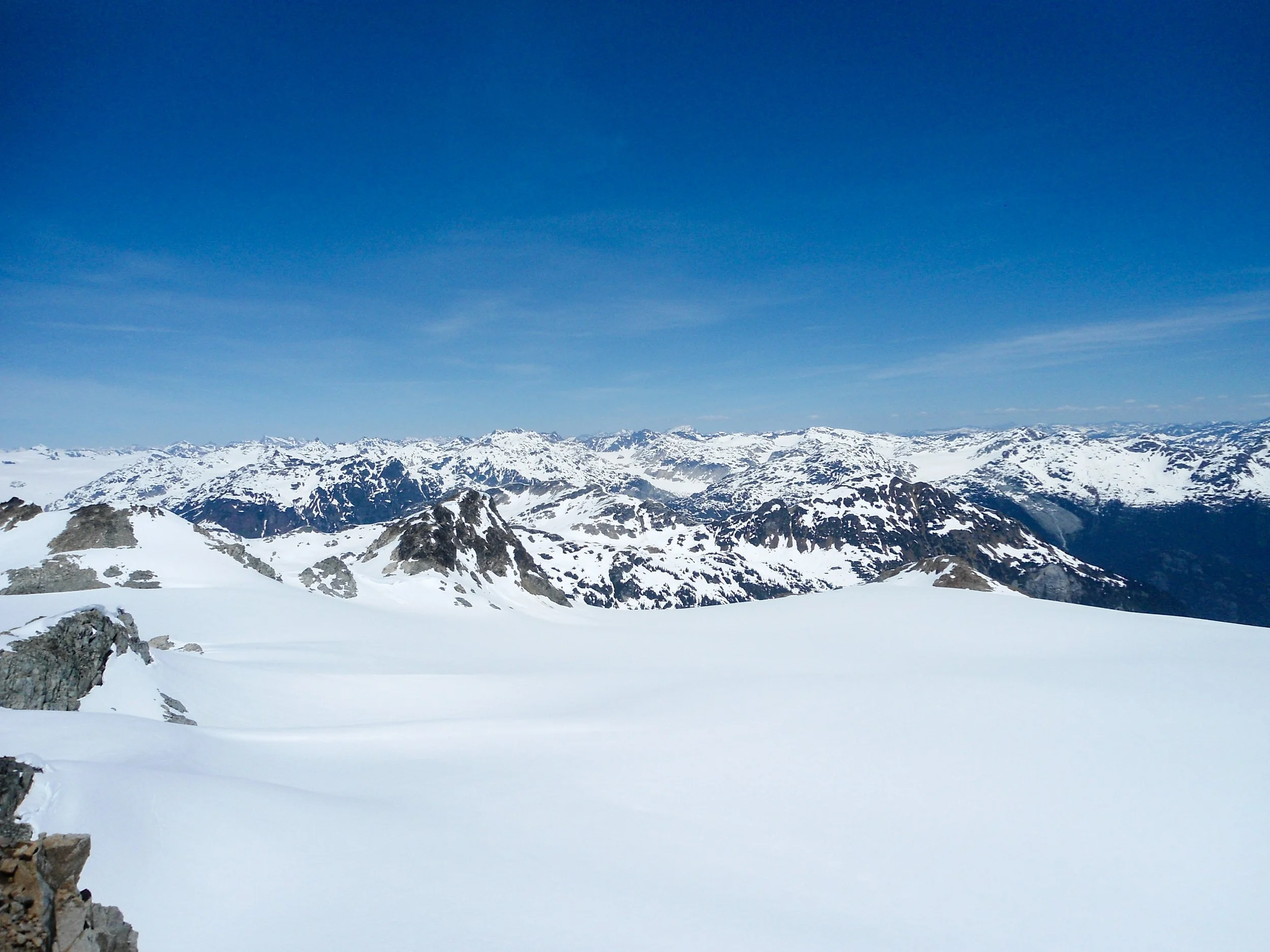
Looking North past the glacier
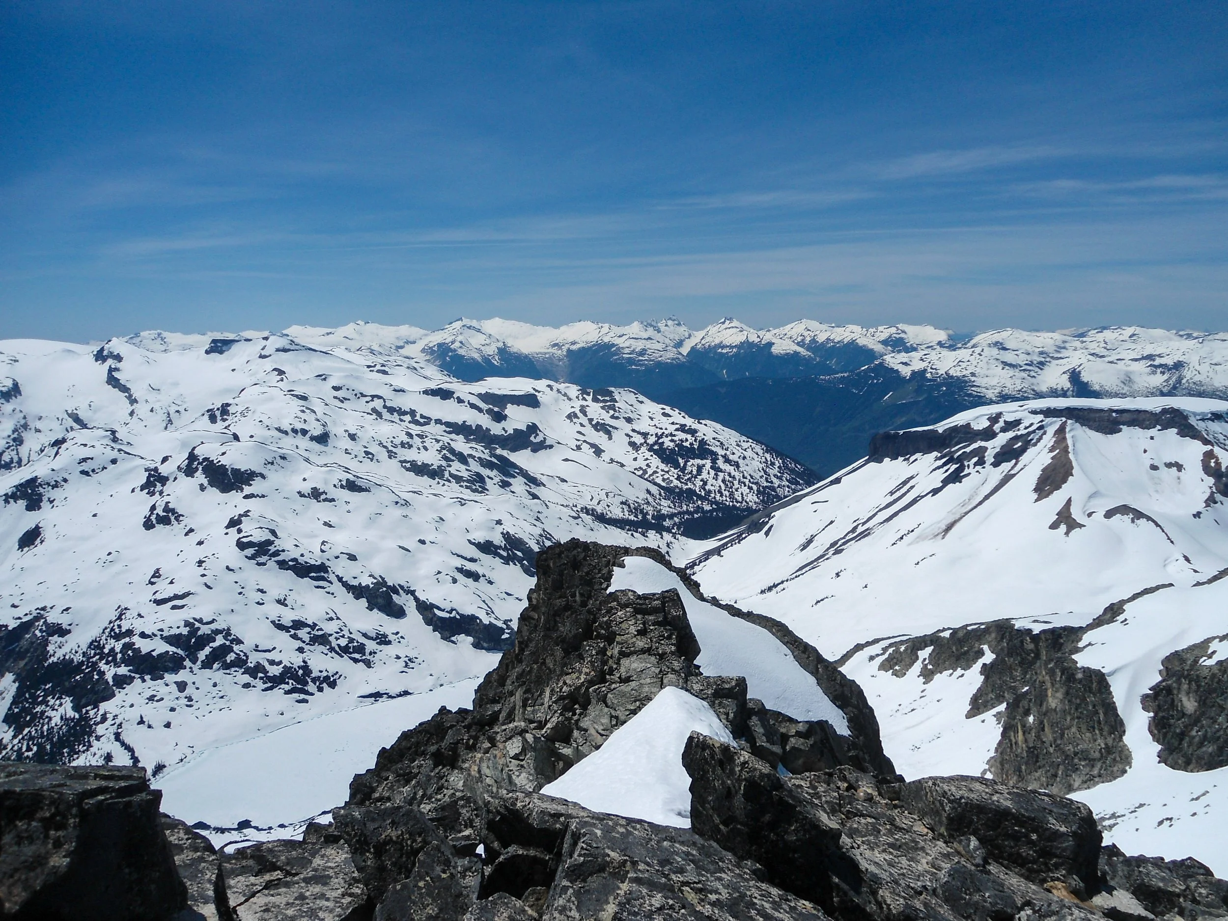
So many peaks
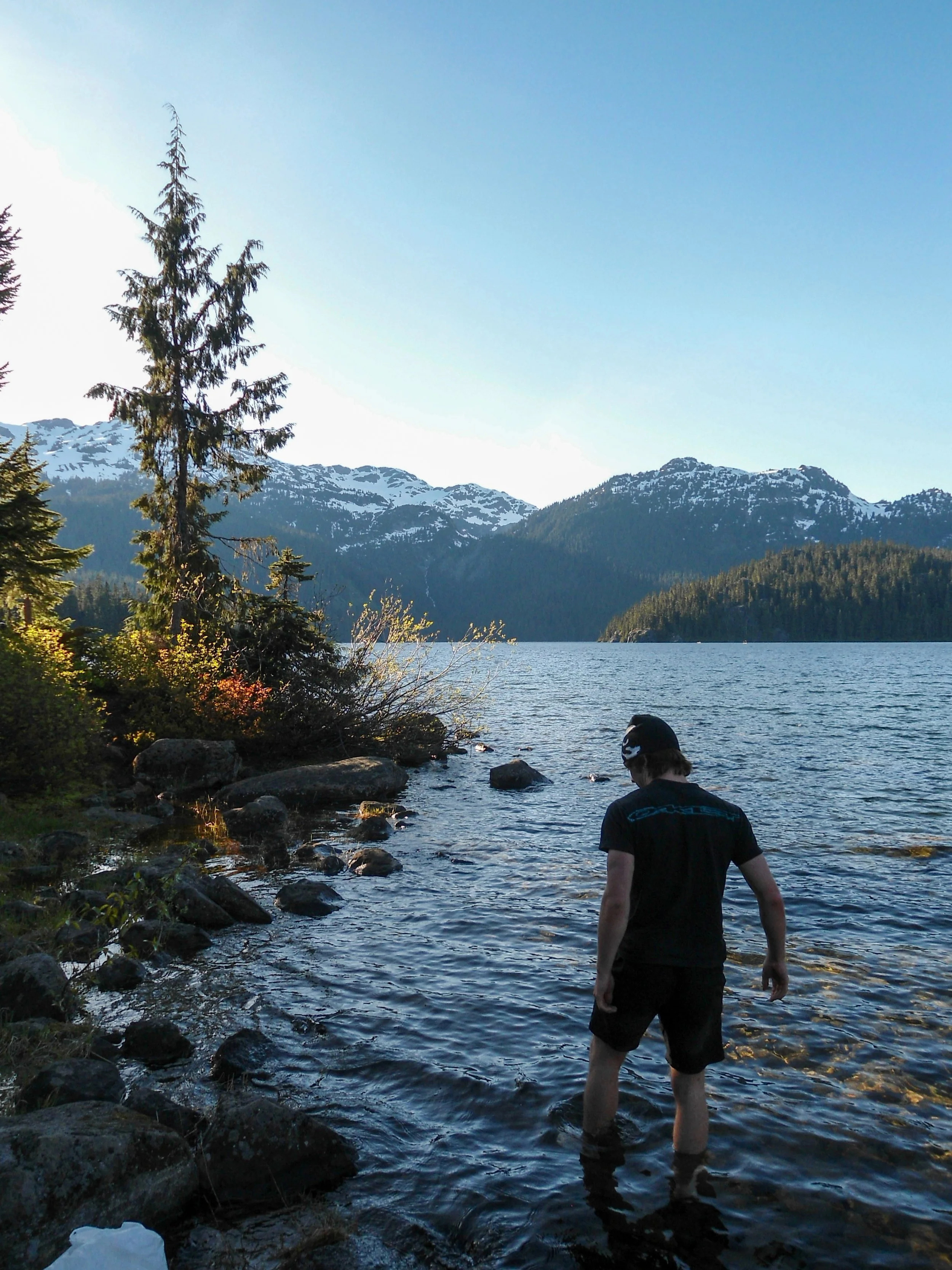
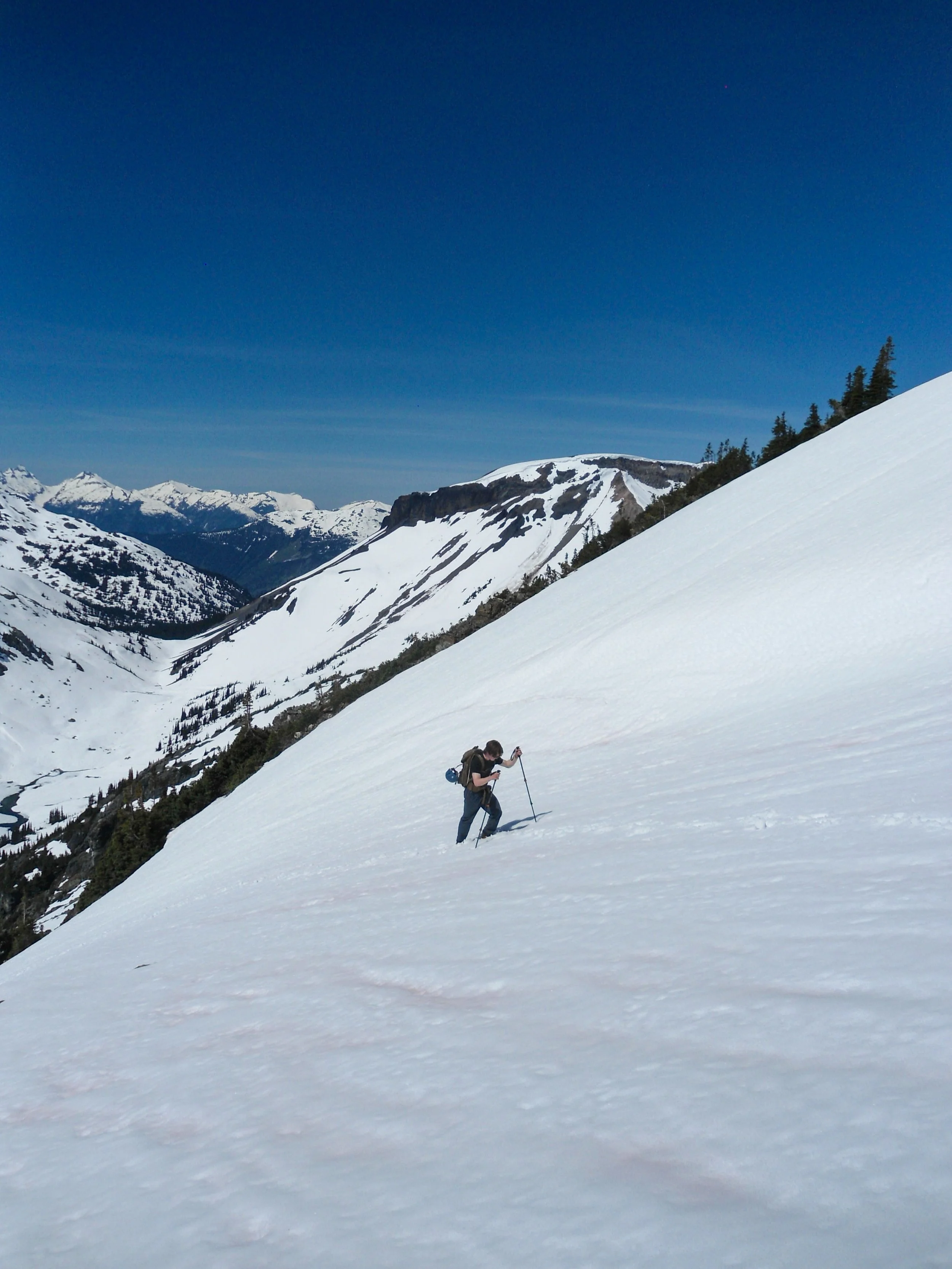
After half an hour on top, we descended carefully to our gear. With the snow now very soft, we stashed our crampons and plunged-stepped/glissaded down. Between slides, we ran down the soft snow, enjoying the constant views of BC’s snowy giants. At 5,600’, we began the trek back towards Crescent Lake. Rather than retracing our ascent route, we changed to the Meadows Loop trail, which hugged the lake’s edge and meandered through scenic wetlands—definitely a more aesthetic choice. We reached the car just before 5, exactly 10 hours after our start. We ended the day with a dip in the lake before heading back to Bellingham, since I had work at 4am the next morning.
Descending the steep section

Not a bad view
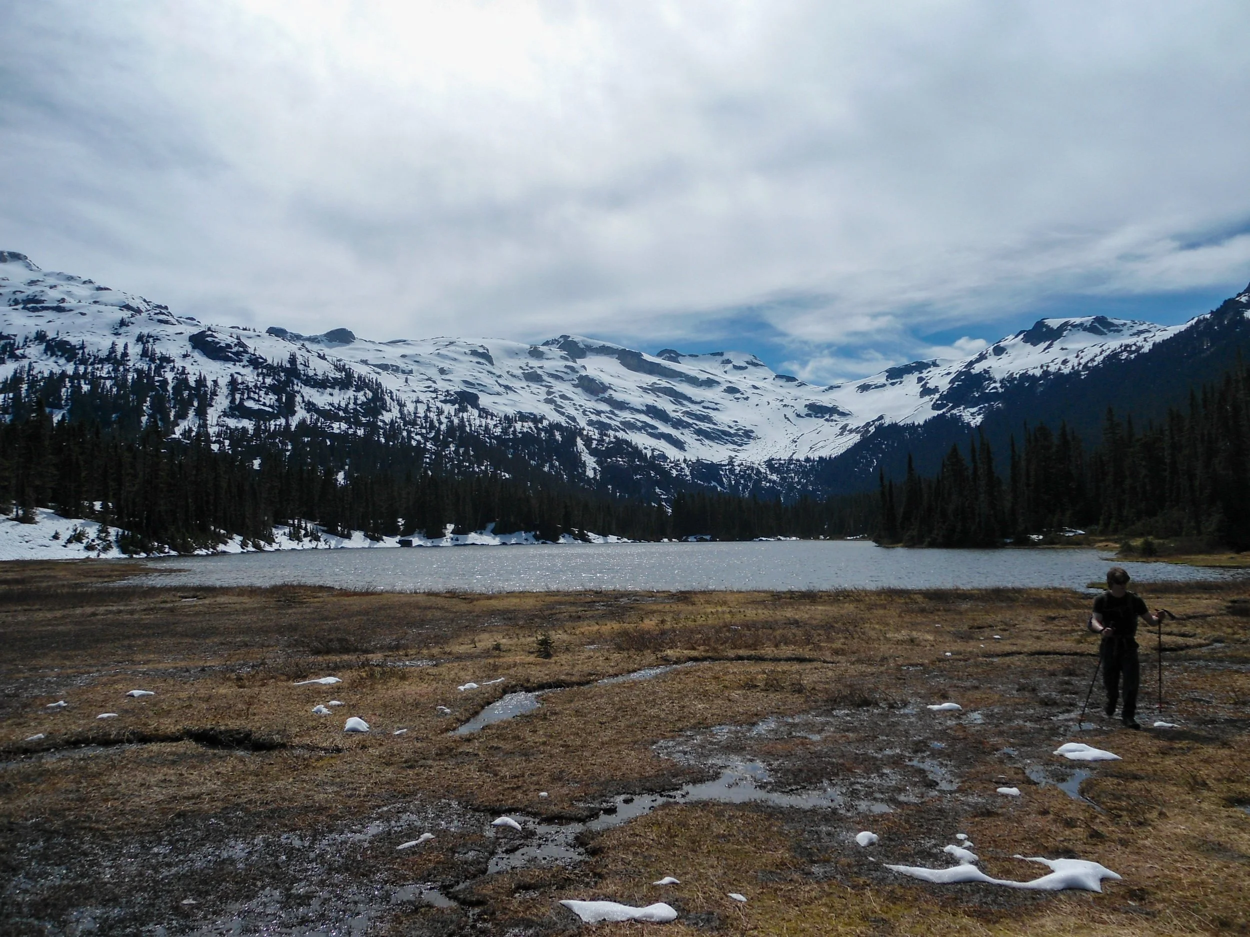
Back at Cresent Lake
Overall, this was an amazing hike and a welcome break from the crowded Sky Pilot. We saw only one other group on the mountain. It was Abe’s first time using crampons, and the climb was great preparation for Baker in July. As always, stay safe and happy hiking!
Final Stats: 14 Miles - 4,300’ Gain - 10 Hours C2C