Gunn Peak WA
July 4th, 2025
Hi, we are the Mountain Goats (Terrence), and yesterday my dad, Bryan, and I climbed Gunn Peak. This one has been extremely high on my to-do list for a number of years. We got to the trailhead around 8:30 and got on our merry way.
The route begins by crossing a creek; the trail can be a bit tricky to follow here, but once past the creek, the trail is quite obvious. After .4 miles of the trail flatly snaking through the woods, it begins the grueling ascent upwards. Luckily, the trails are in great shape (nice and soft), and the trees protect you from the sun's glare head-on.
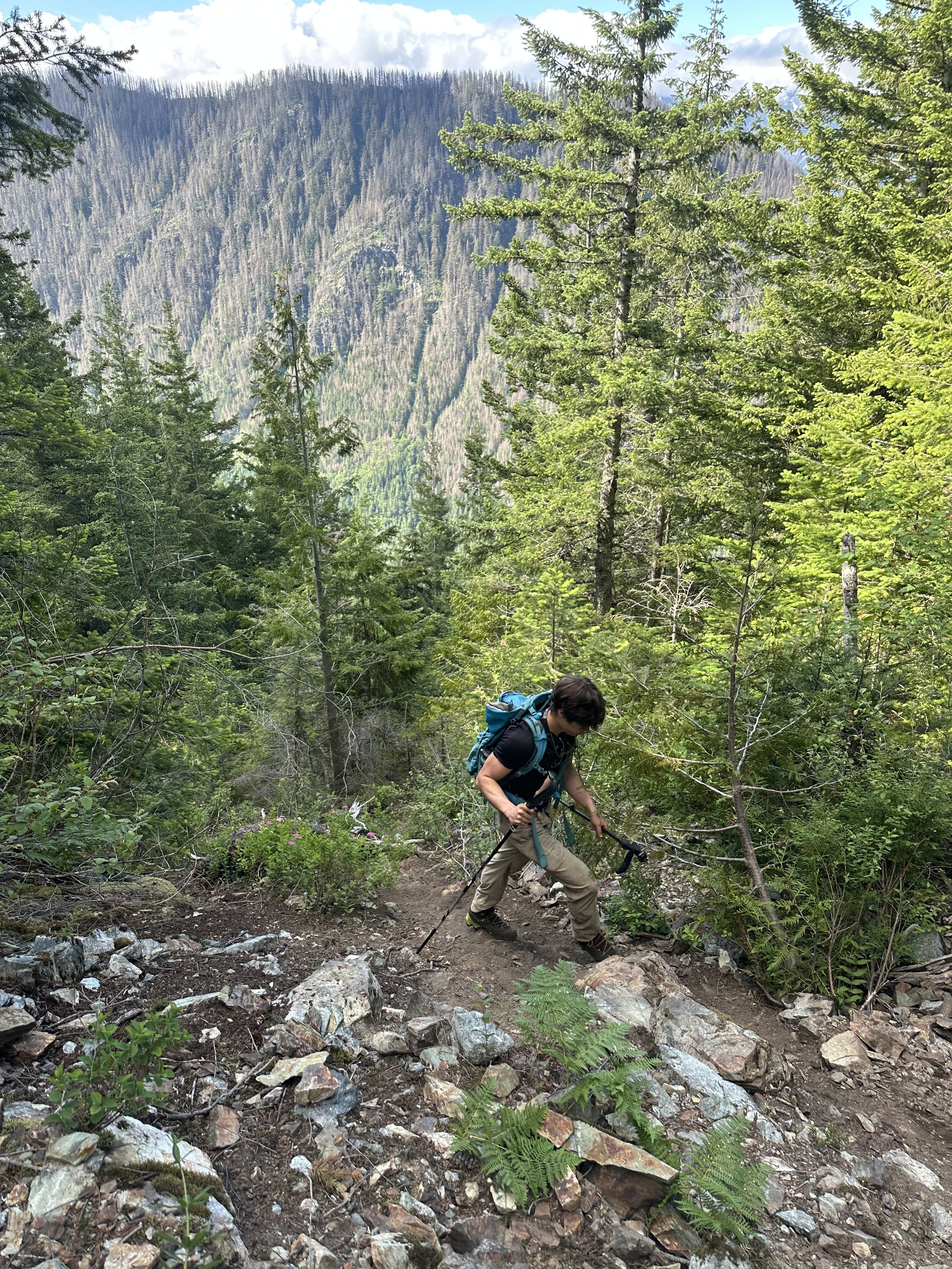
Heading up
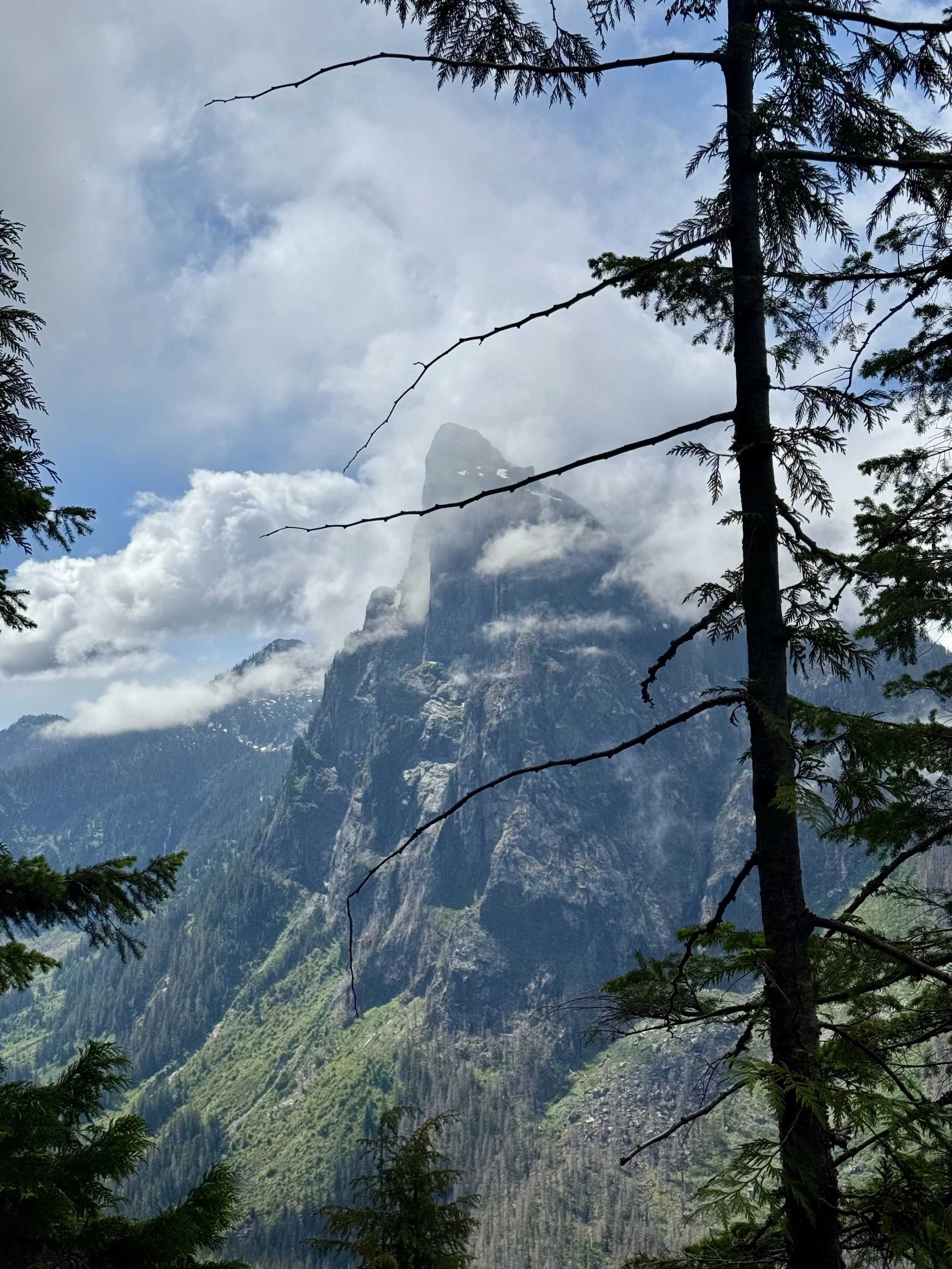
Mount Baring
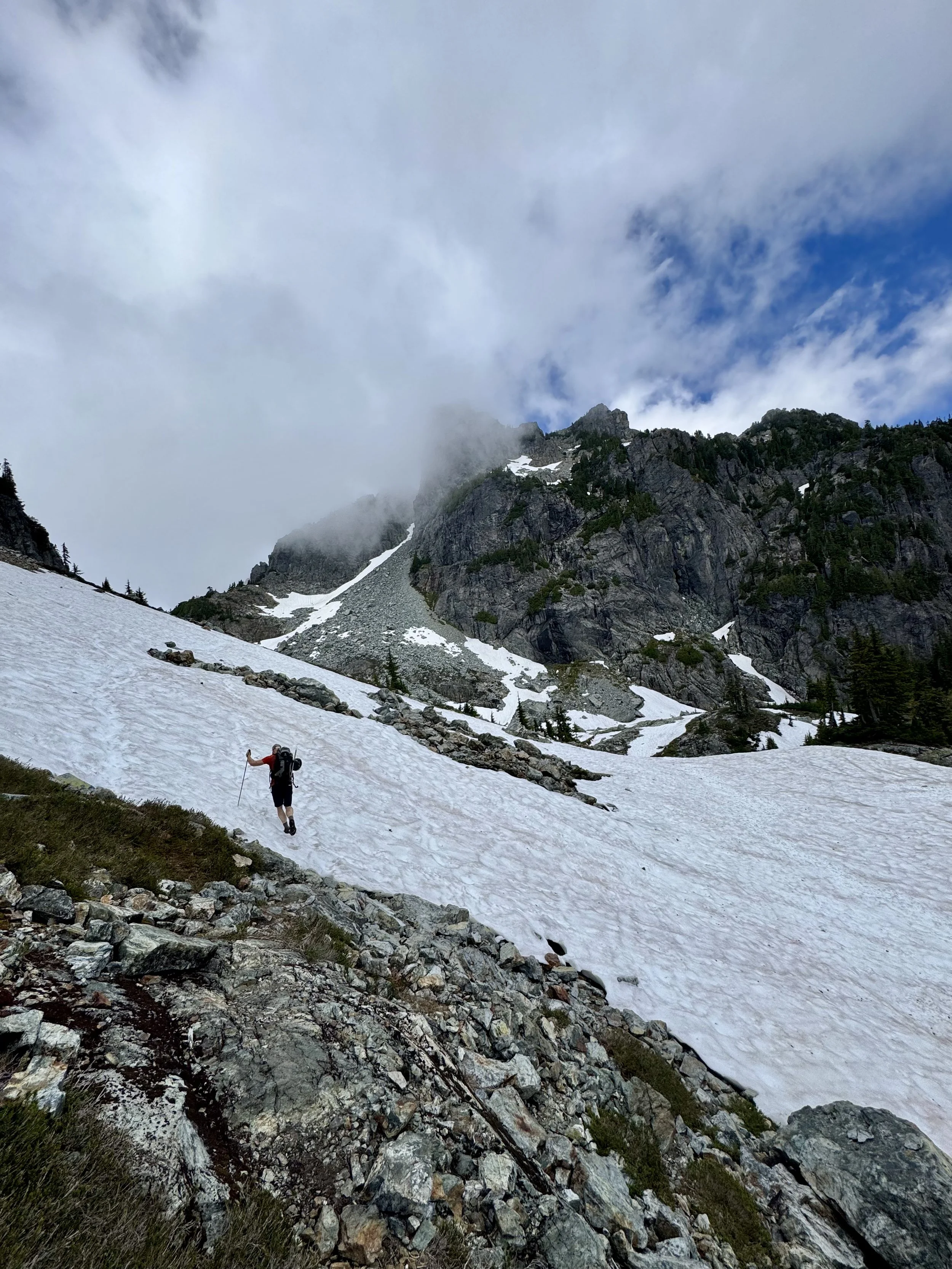
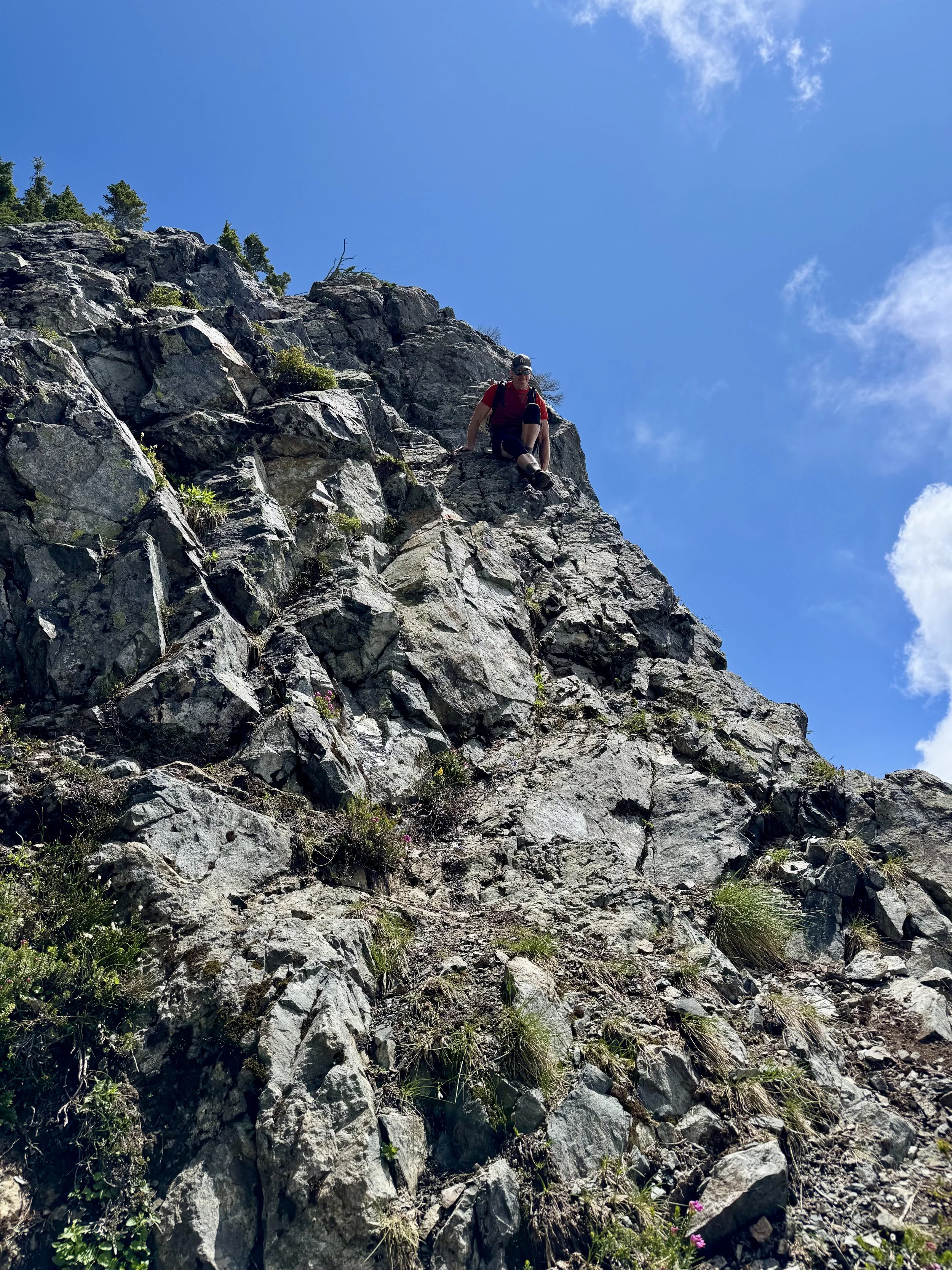
At about 4,000 feet, you run into a cliff band. Finding the trail is quite tricky here as it STEEPLY drops below the cliff before traversing to the other side. Once you rise above the cliffs (4,300 feet), the trail finally breaks out of the tree line as it snakes through short brush, and the terrain gets more and more meadowy. This continues for a while as the views of Baring and other peaks behind you get better and better.
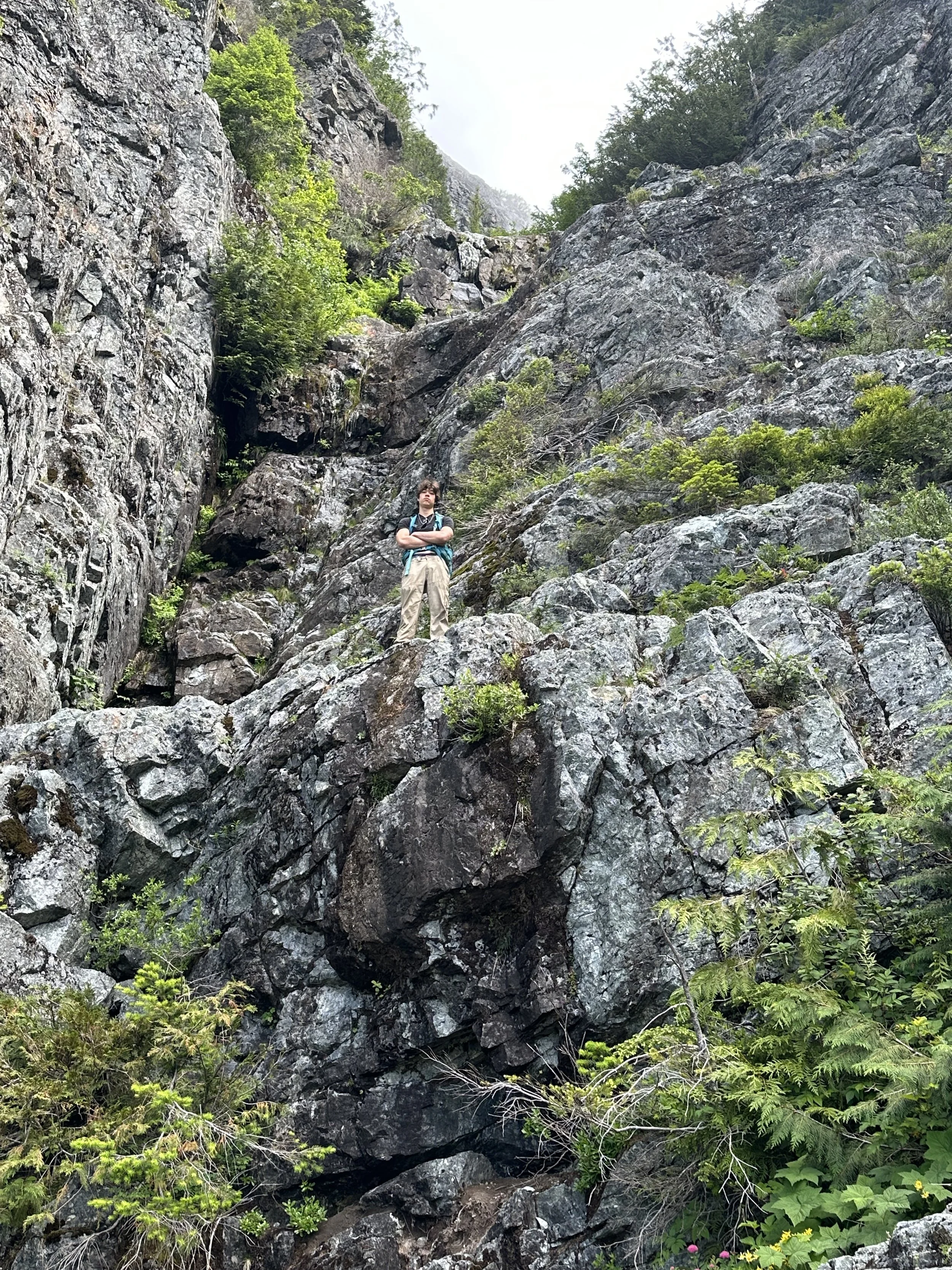
Cliff Band
Breaking out
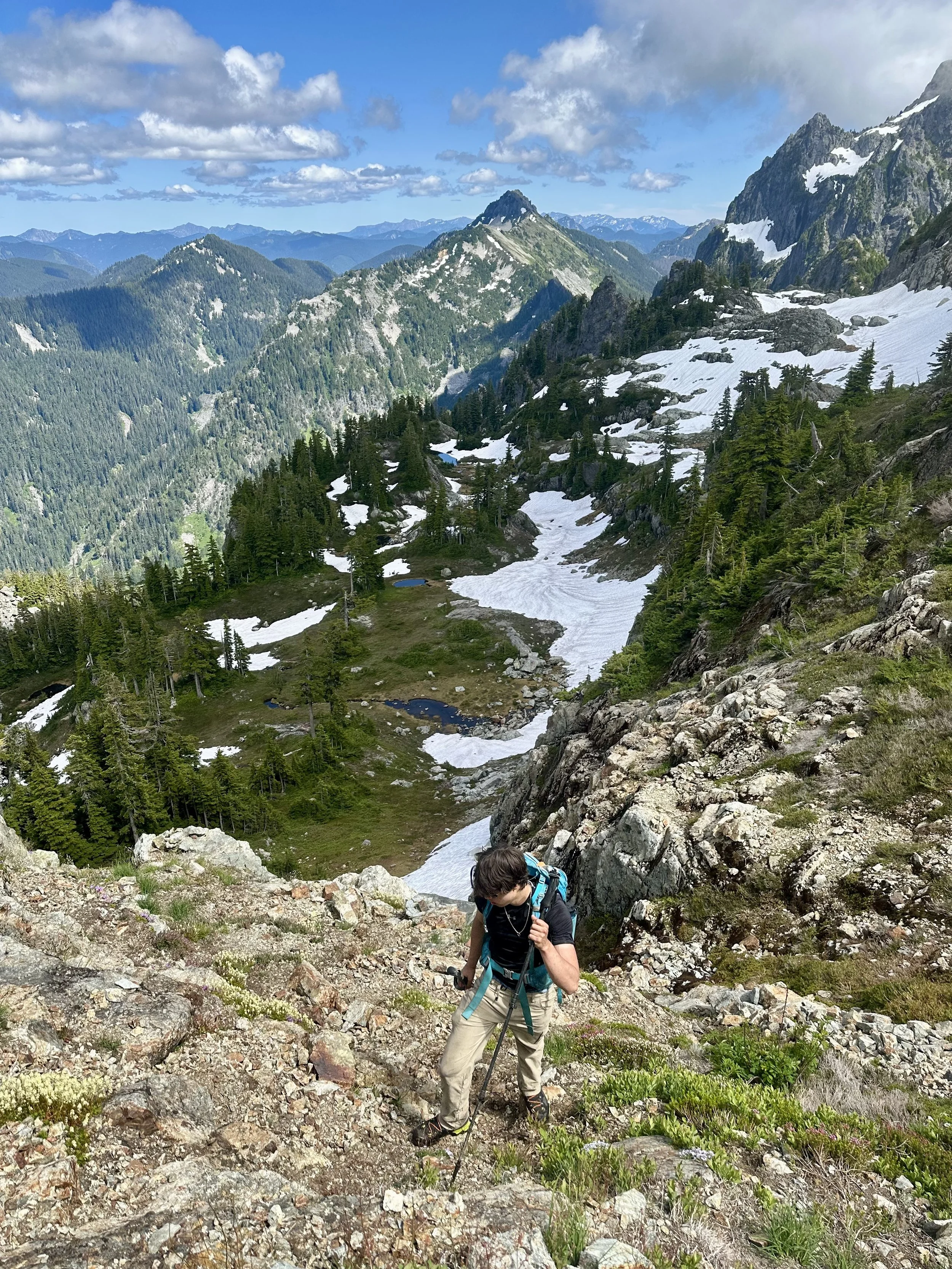
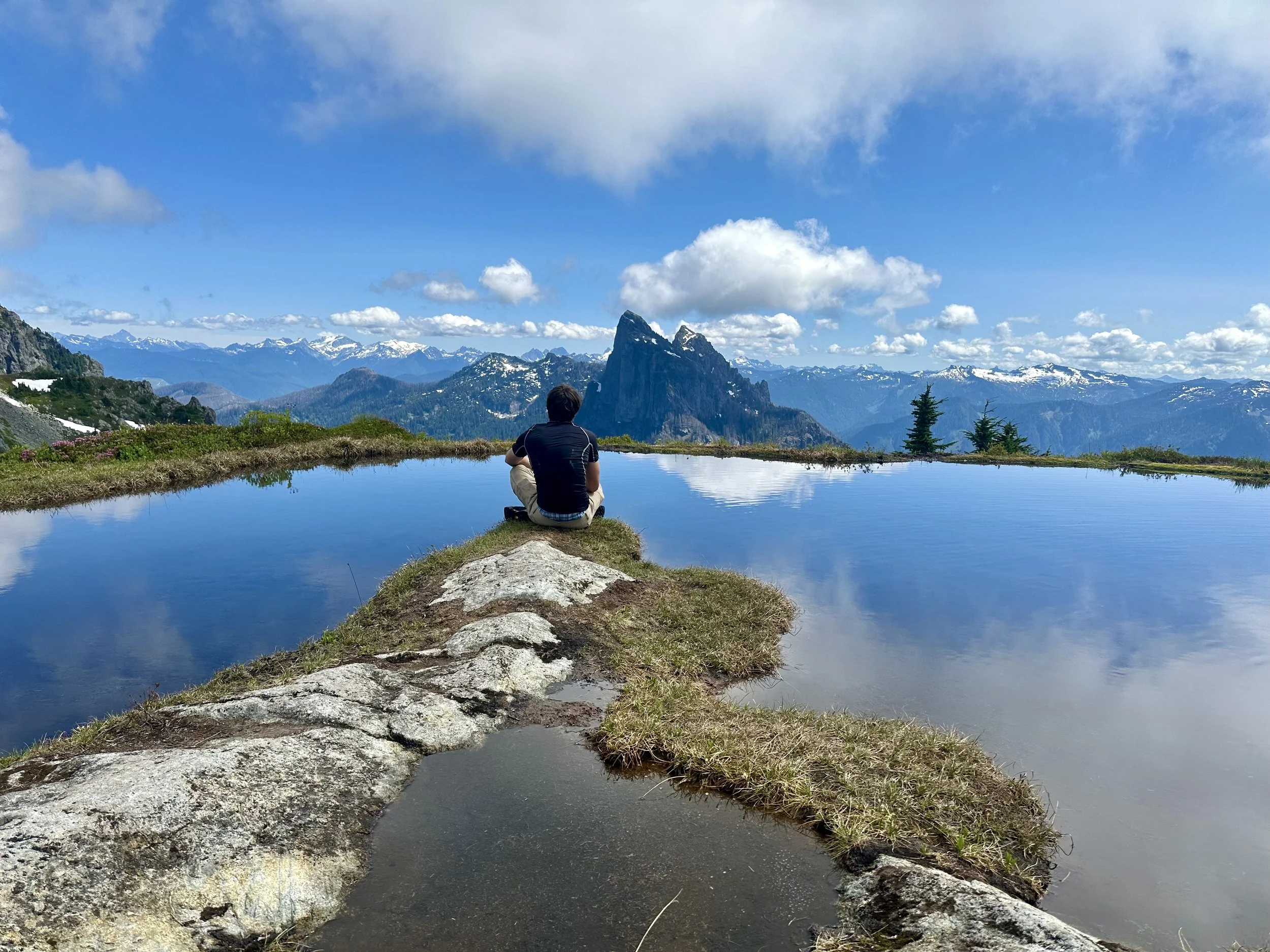
At 5,400, the trail splits, one goes to Gunn Peak, the other to the now internet-famous Infinity Tarn. Stopped by the tarn to get some water, but at this point it was so socked in we couldn't see anything. Once back on the Gunn Peak trail, we followed the boot path through the snow as it snakes NE around some cliffs before sharply dropping a hundred feet. We accidentally stayed too high and got cliffed out.
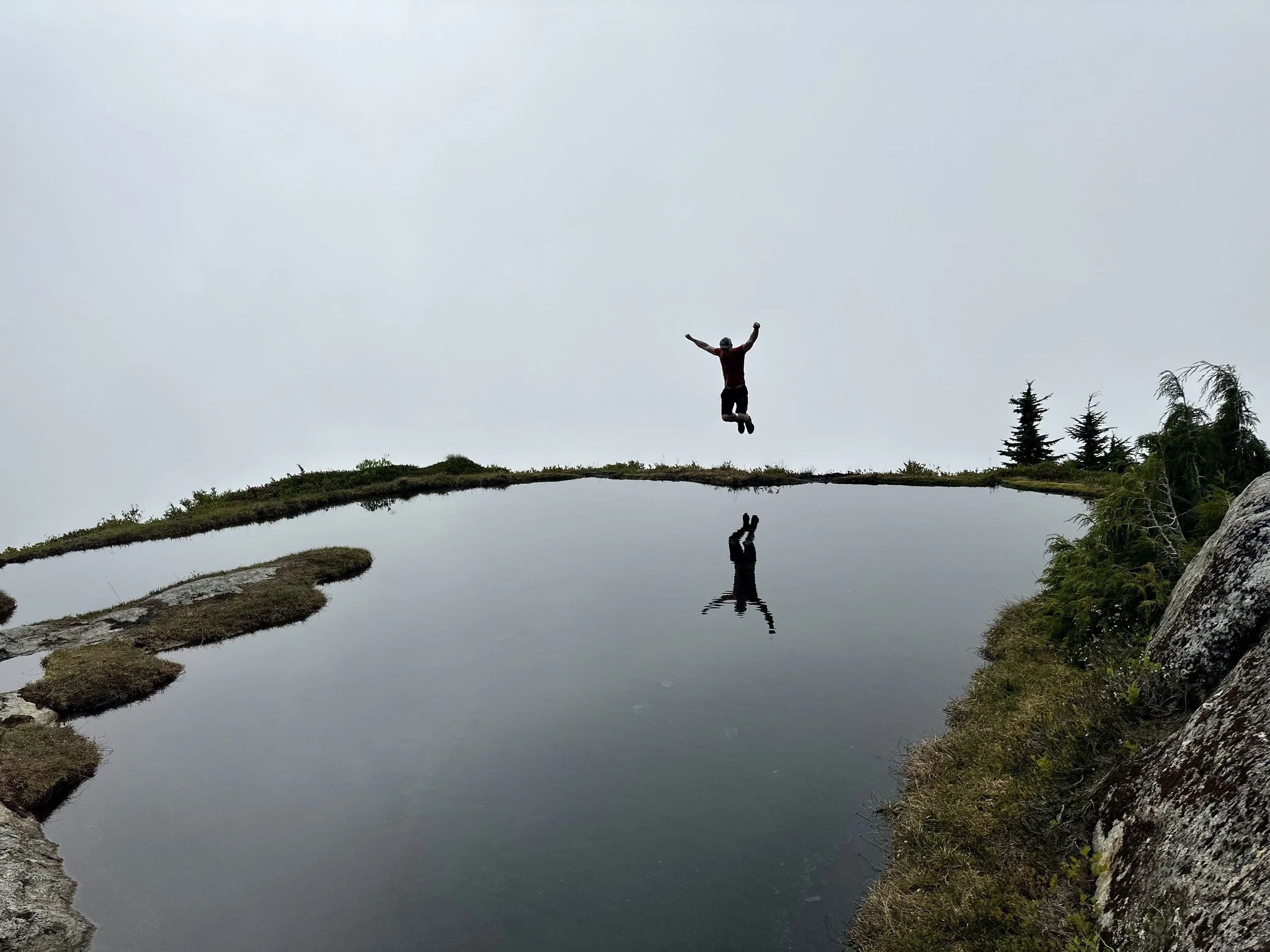
Tarn
Heading towards Gunn
Once below the cliffs, the trail flattens out as you head directly towards the summit block of Gunn Peak, which looms above you. At around 5,300 feet, the snow steepens, so we hopped it, and boulder hopped up to 5,600 feet. Once you're at 5,600 feet, you should be looking up towards an obvious ledge which heads NE. Take it. This is the most technically challenging part of the climb, as you ascend the ledge through a series of class 3 moves. Luckily, the exposure was pretty minimal. Once past this part, continue to follow the trail as it steeply snakes upwards through trees and brush before popping out onto a snowfield.
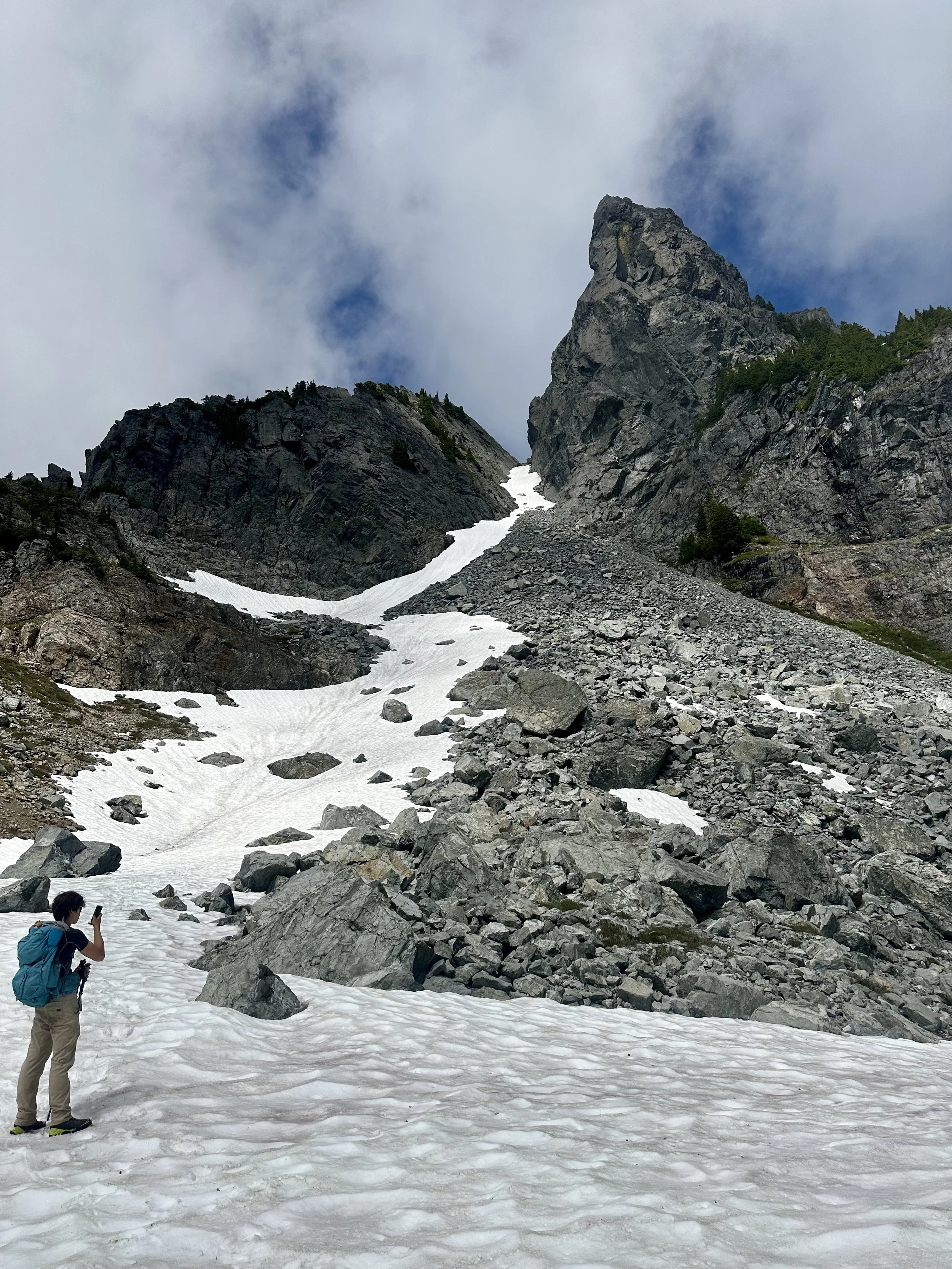
Good looking rock
Summit time
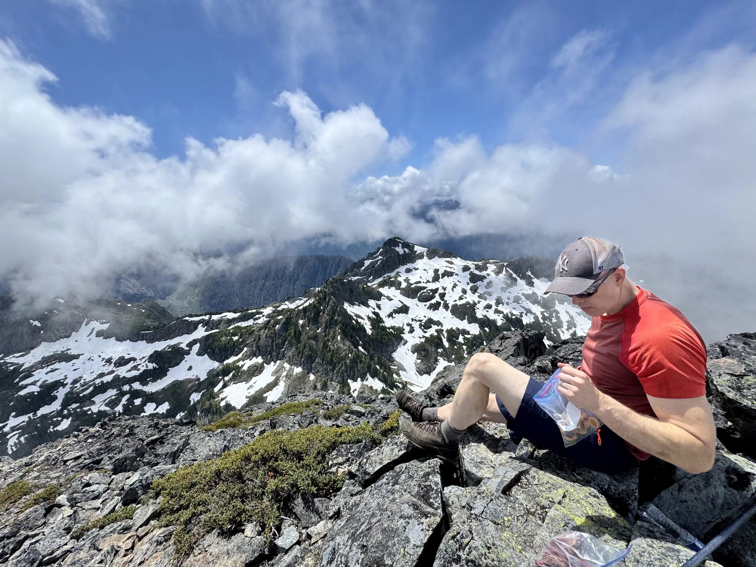
Traverse the snowfield before heading directly for a notch in the top of the ridgeline. Once there, pop into the other side and simply walk up to the summit. At this point, the views opened up a bit, and we were greeted with some awesome views of Baring, Daniel, and more.
Overall, the only part that I would consider as Class 2+ was the class 3 section of gaining the ledge at around 5,600 feet. Honestly, this scramble was quite tame compared to others, but know your limits and always proceed with caution. This hike is 100% doable with just trail runners and poles. To the people that left trash (a plastic water bottle and Gatorade) at the summit y'all suck do better.
Heading down
The tarn is popular for a reason
Final Stats: 5.25 Miles - 4,200 Elev Gain - 9 Hours Car to Car