Sky Pilot Mountain BC
6/13/26
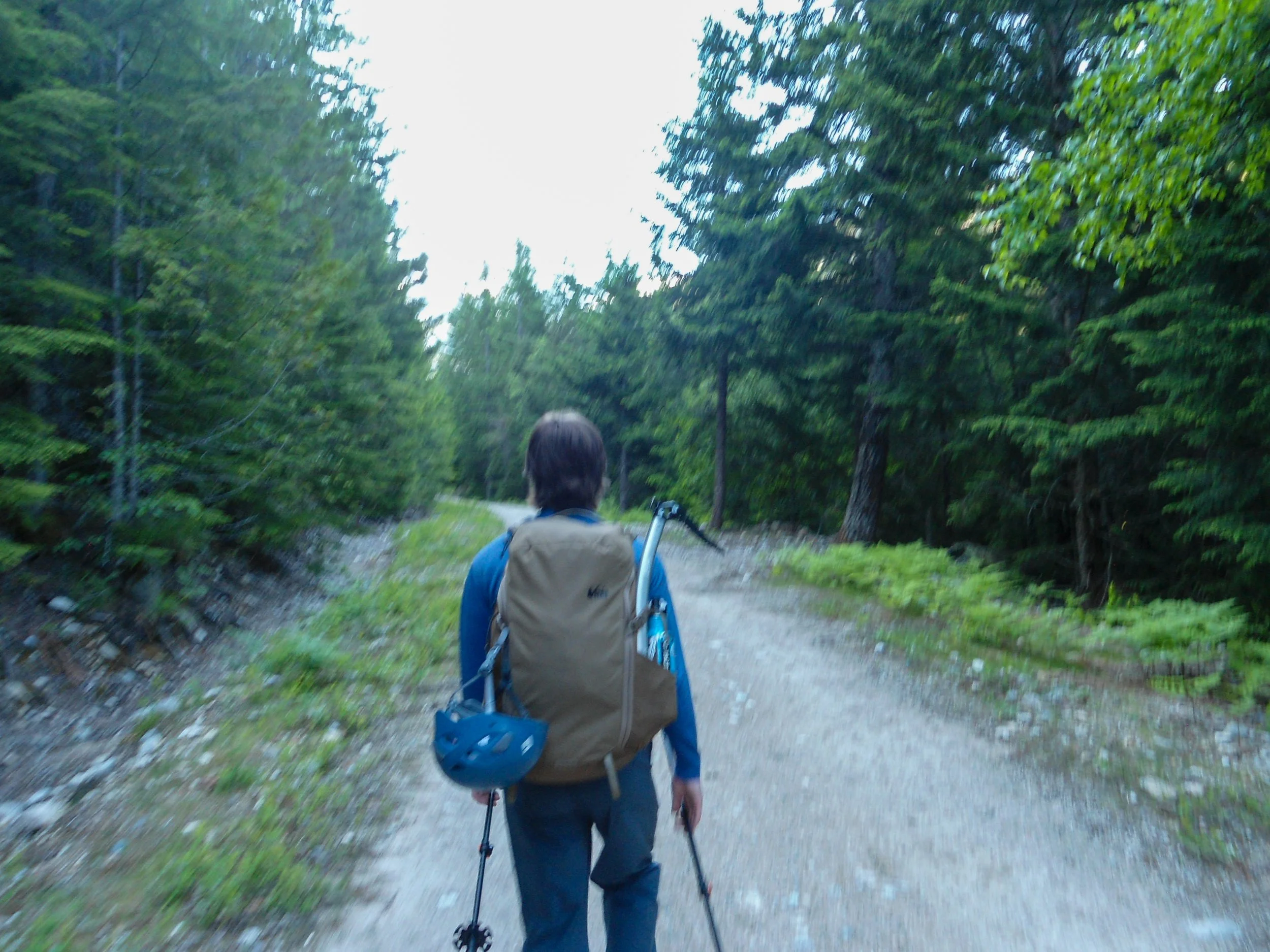
Sky Pilot Mountain is a prominent mountain along the North Shore Range and one of the more popular mountains near Squamish. My buddy Abe and I decided to spend two days up in BC, with Sky Pilot being first on our agenda. Sky Pilot is popular for its accessibility and is considered a great starter mountain for those transitioning from hiking to climbing. We left Bellingham at 5:30am and got to the “trailhead,” a little pullout along the Shannon FSR, around 7:30. The lot was already full by the time we arrived.
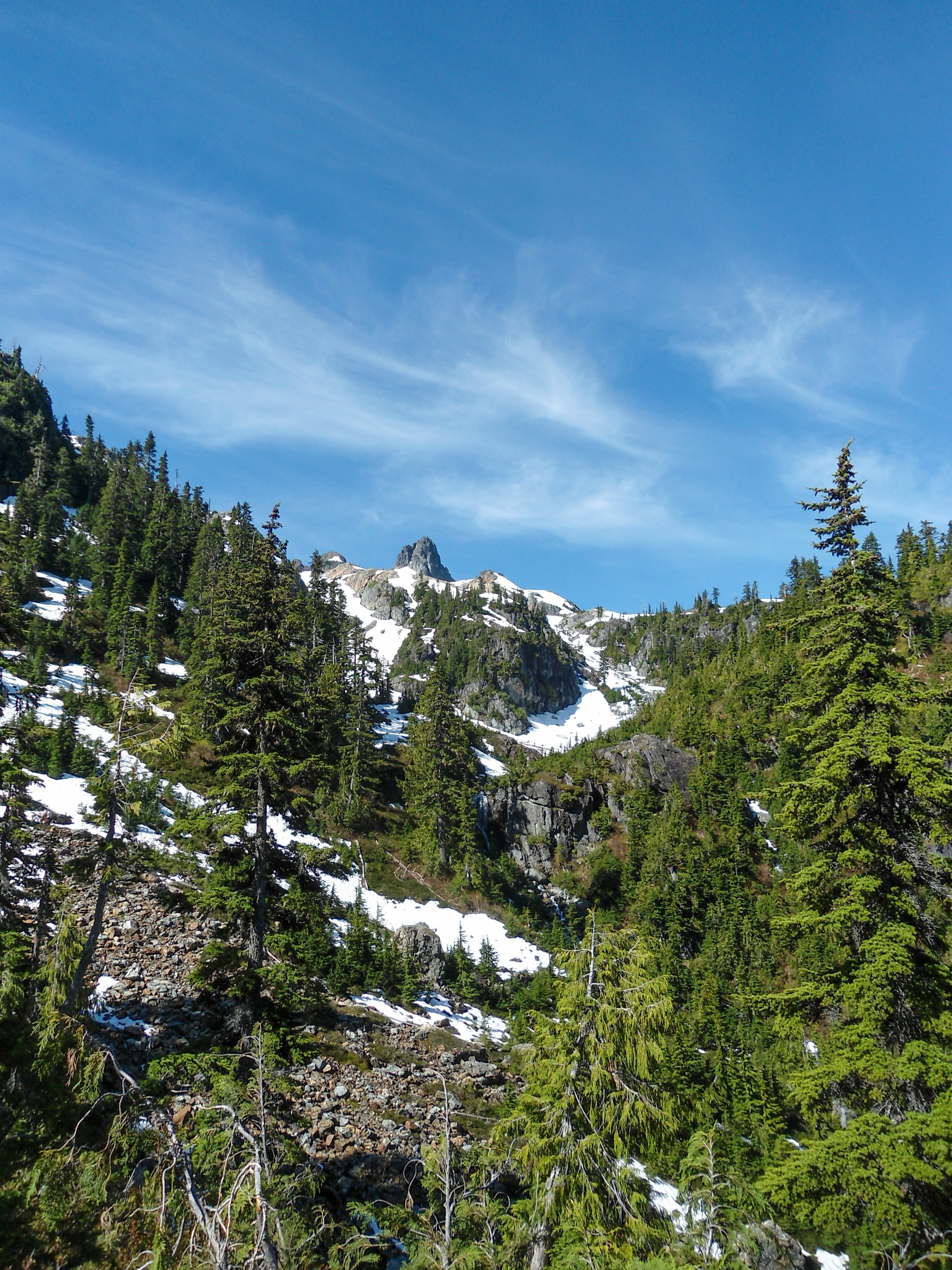
The route starts by following the Shannon FSR, before transitioning into the Shannon Basin Loop. The first few miles are fairly flat as you follow the FSR; the Sky Pilot range peaked out above the trees, giving us a glimpse of what was to come. About 3 miles in, the forest road narrowed into the Sky Pilot Trail. After a steep switchback section, we popped out into a lush valley at 4,400. Sky Pilot loomed above. Snow began to pop up at 4,500’ quickly turning into a consistent snowpack as we slogged up the valley. A massive rock formation sits in the middle of the valley, dividing it.
On the FSR
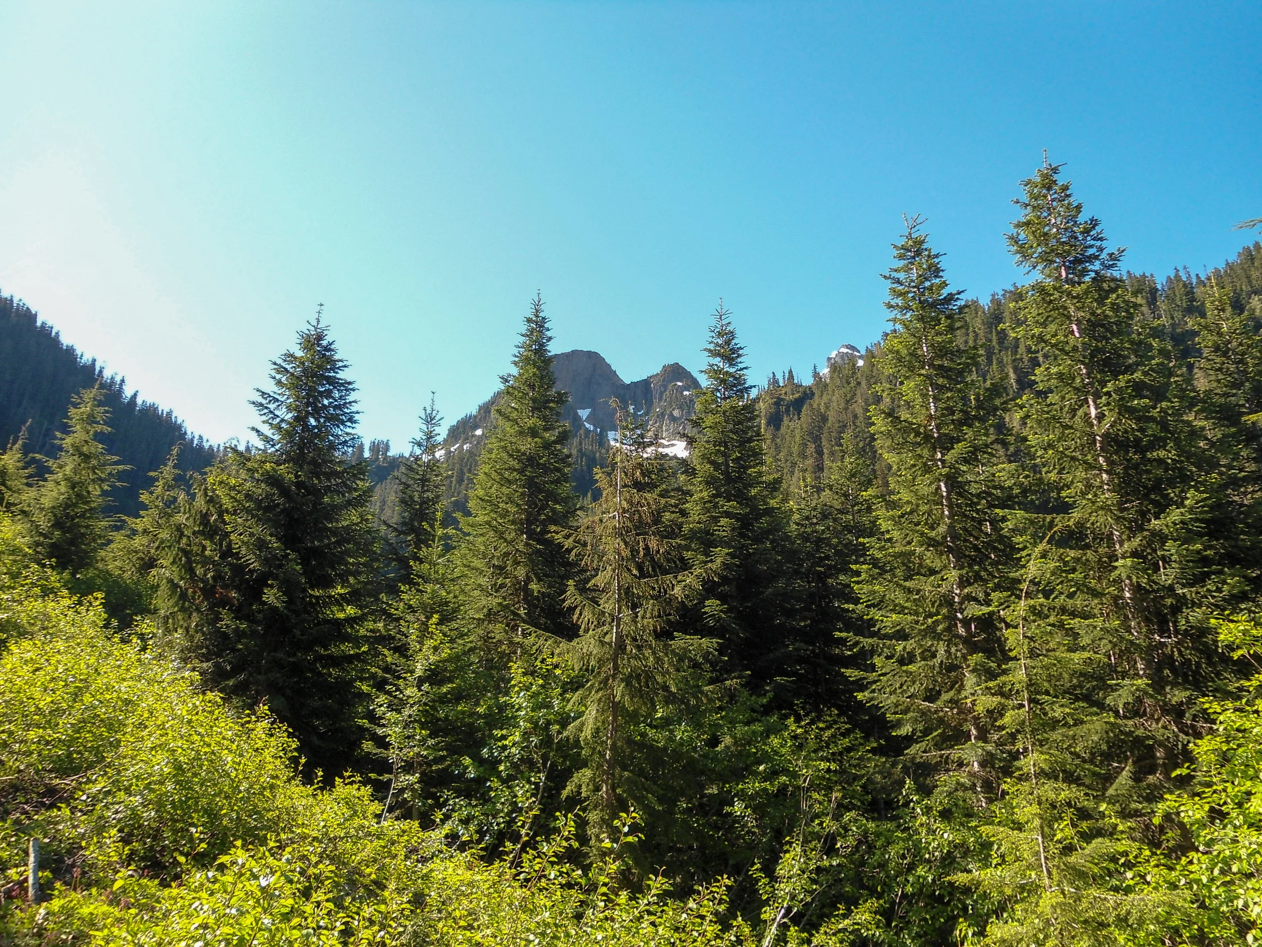
The peaks peeking out above the trees
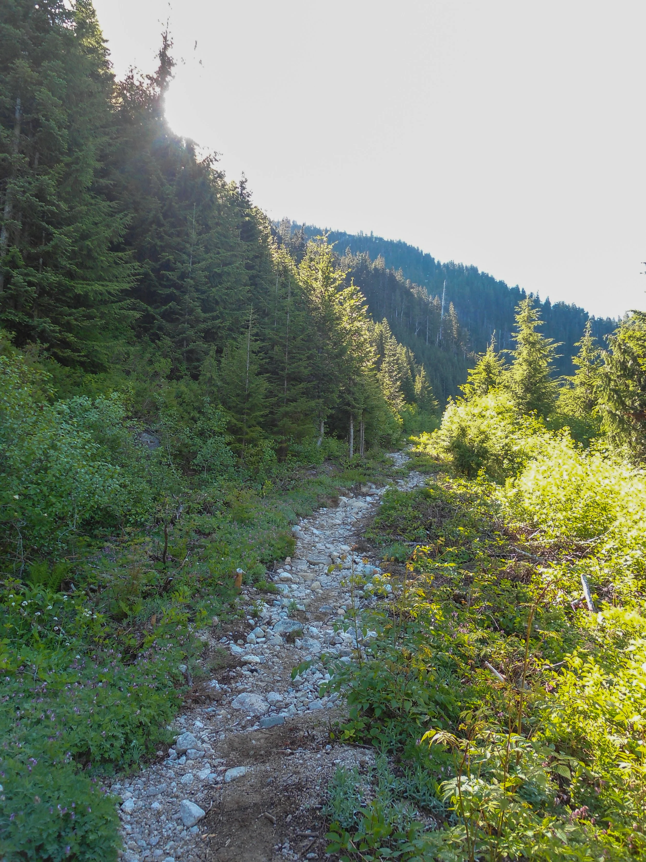
The narrower trail
There she lies
Looking down Stadium Gully
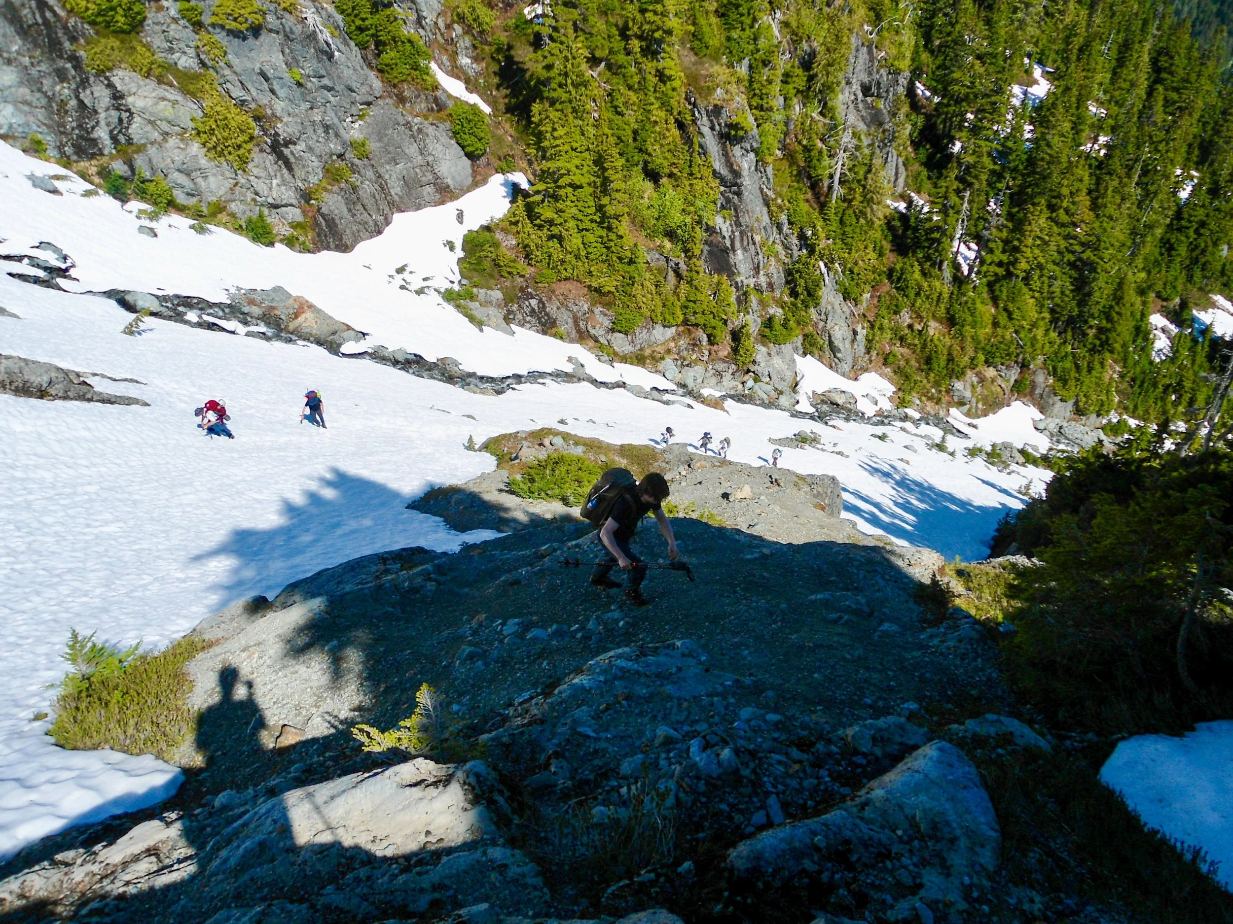
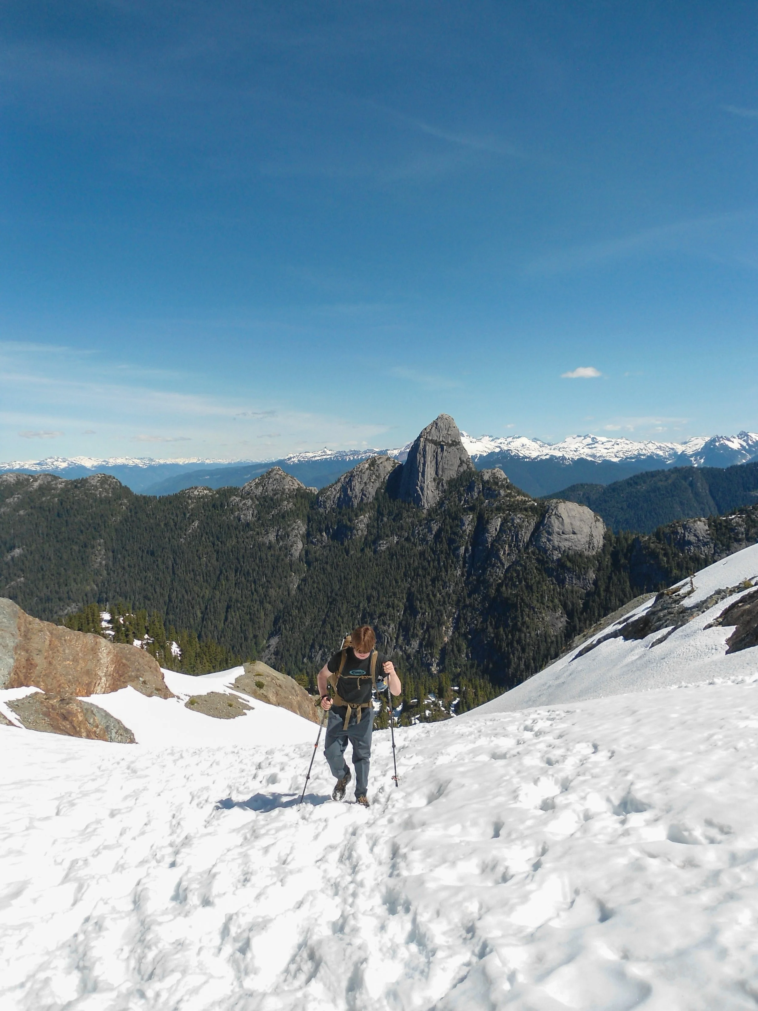
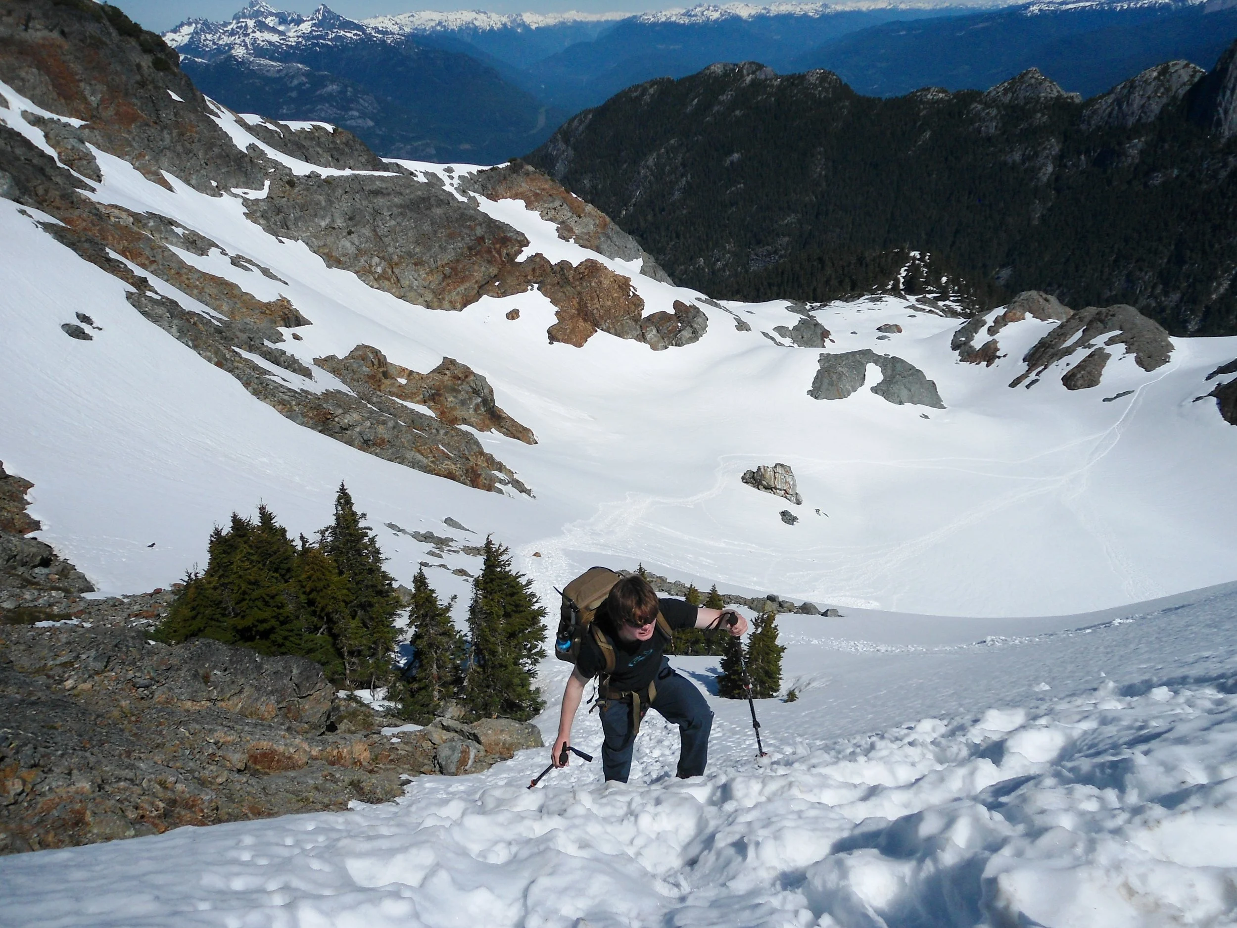
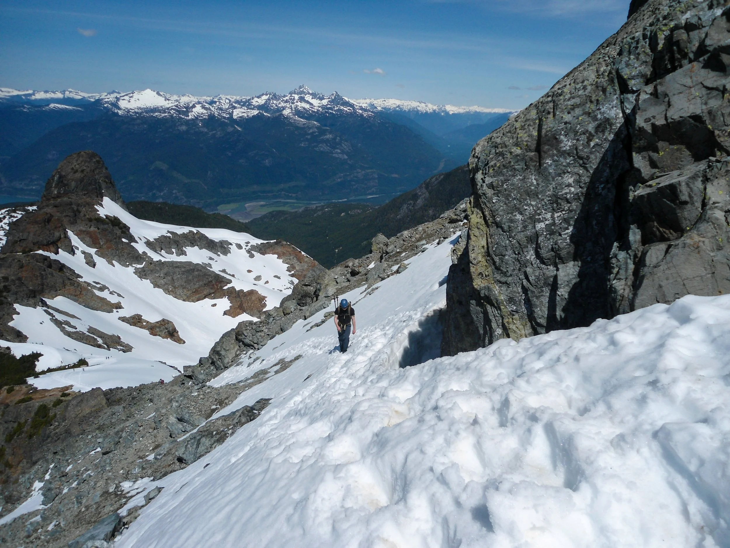
The standard route goes left of it; we, however, went right up Stadium Gully. This route was quite tame, as we ascended some steep soft snow in just our approach shoes and poles. The Brain, a jaw-dropping piece of rock, towered behind. Once above the rock formation, we rejoined the main trail at around 5,300’. The trail flattened here as we pushed forward into a basin below Sky Pilot. There are two ways to reach the ridgeline above: go straight up or wrap around before ascending. We chose the latter. The crux of this section was the mini headwall at the top. Once above, we found ourselves looking up at the rocky summit of Sky Pilot.
Back on the trail
Looking at the bowl, we stayed to the right on the ascent
Love this shot
Ascending the mini headwall
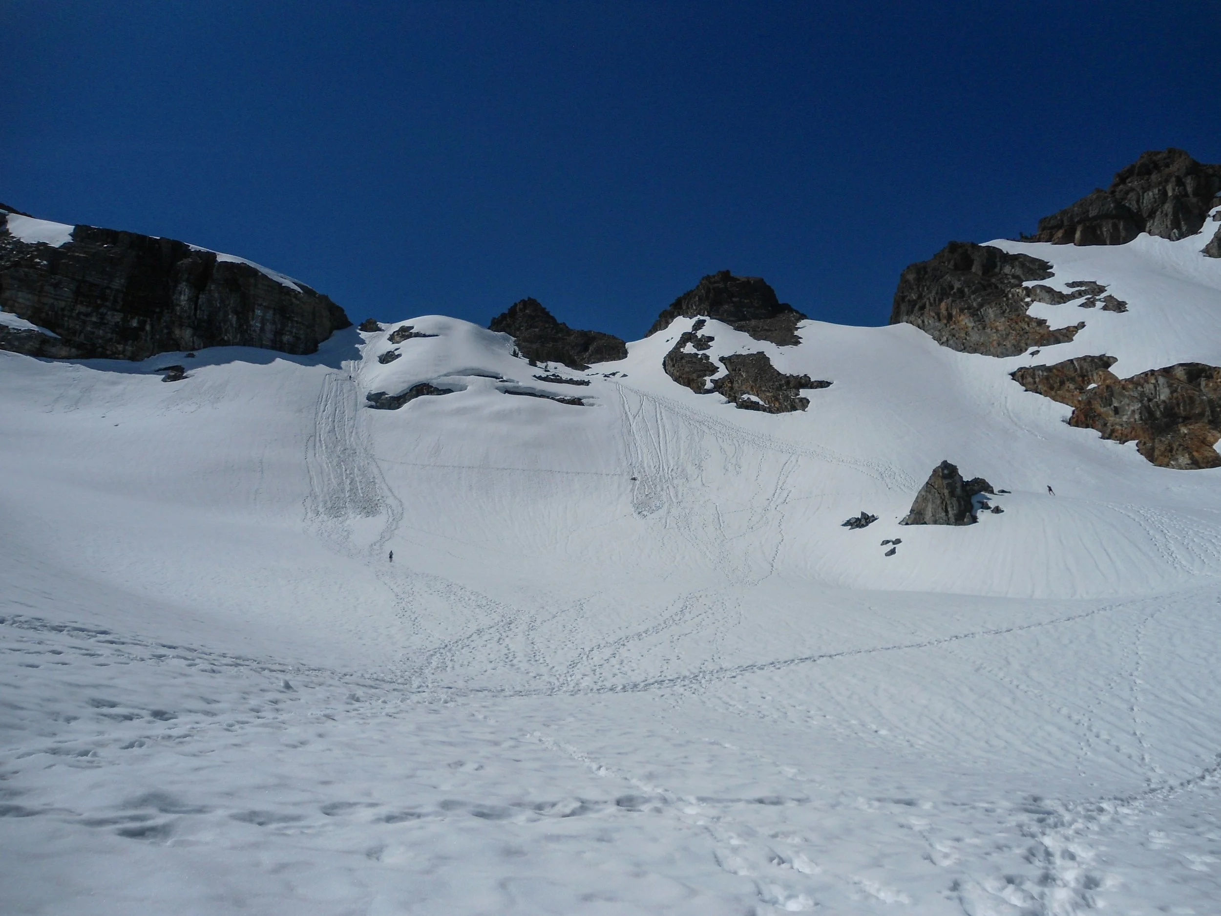
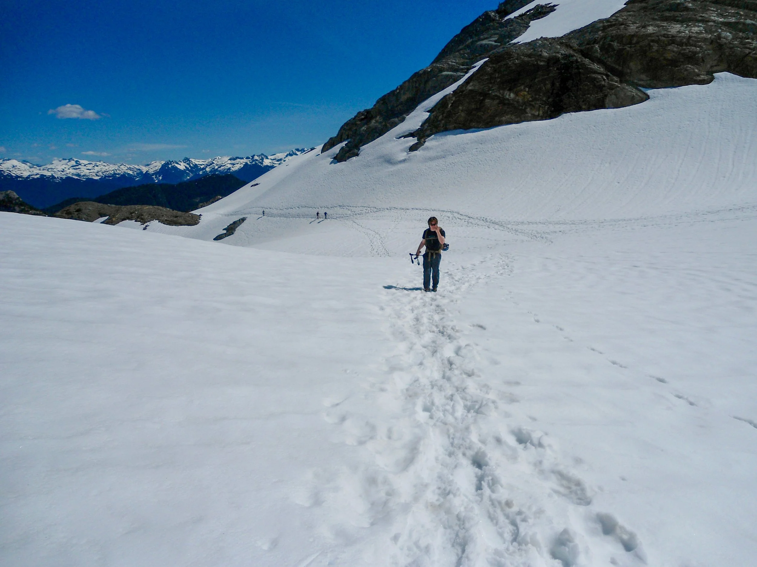
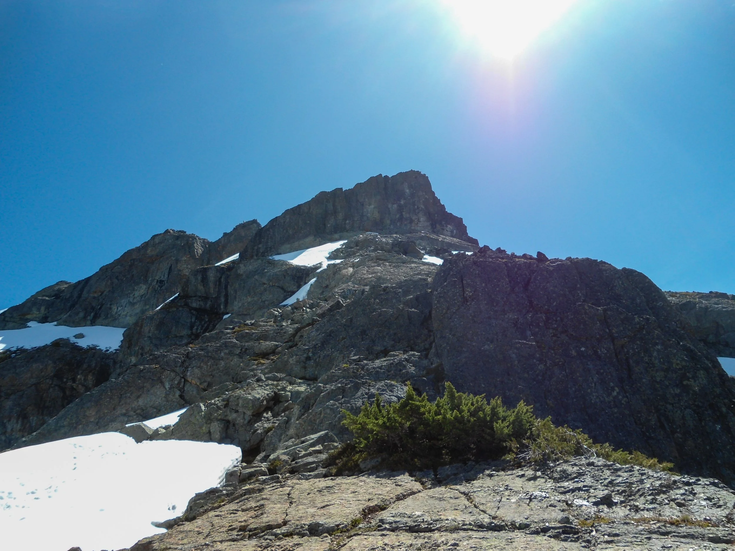
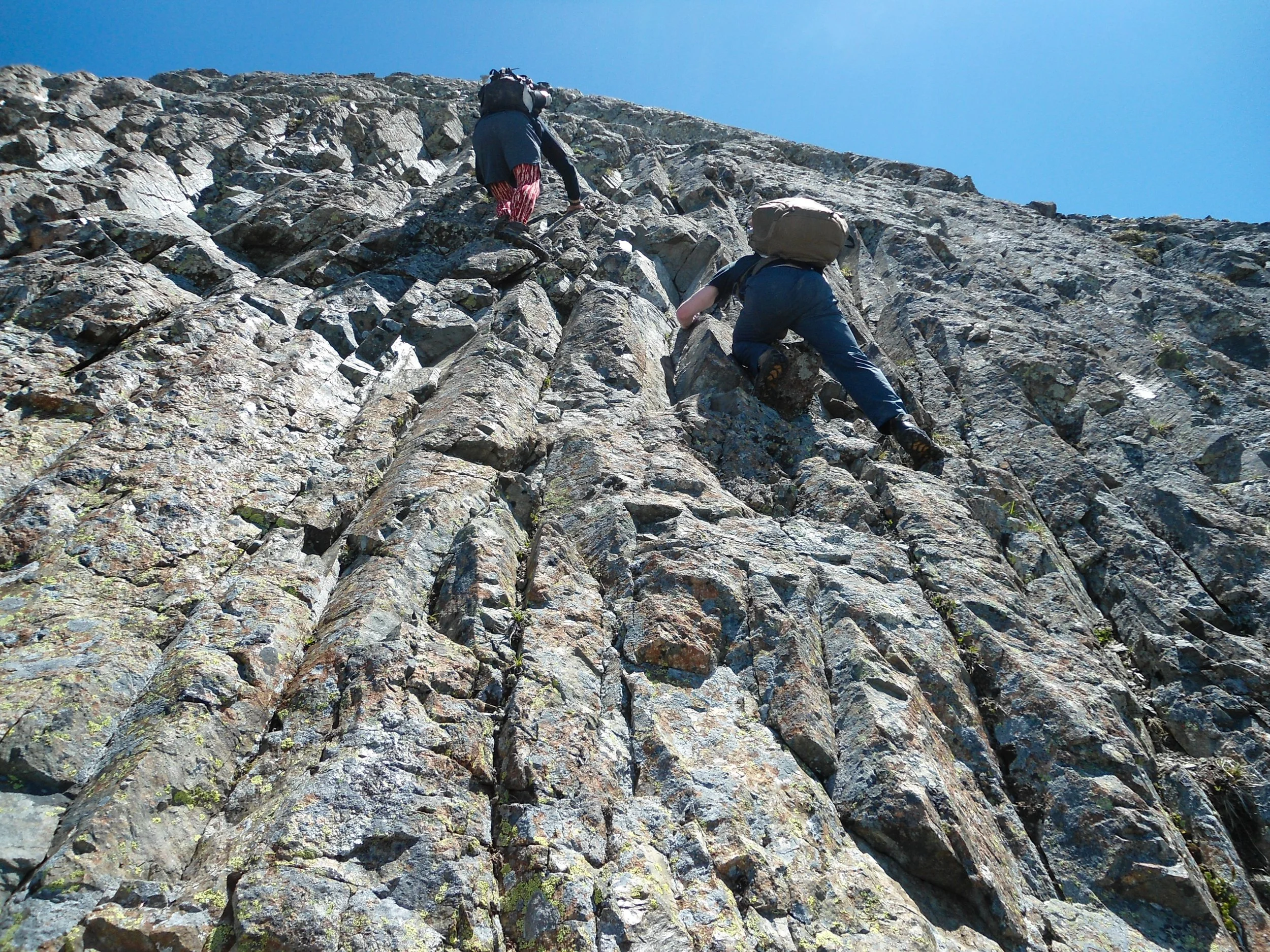
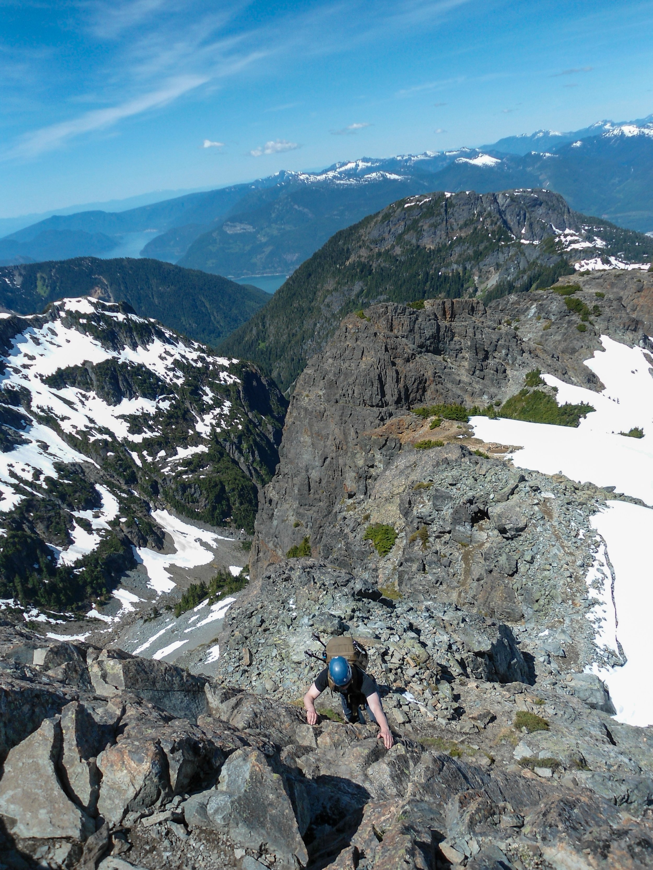
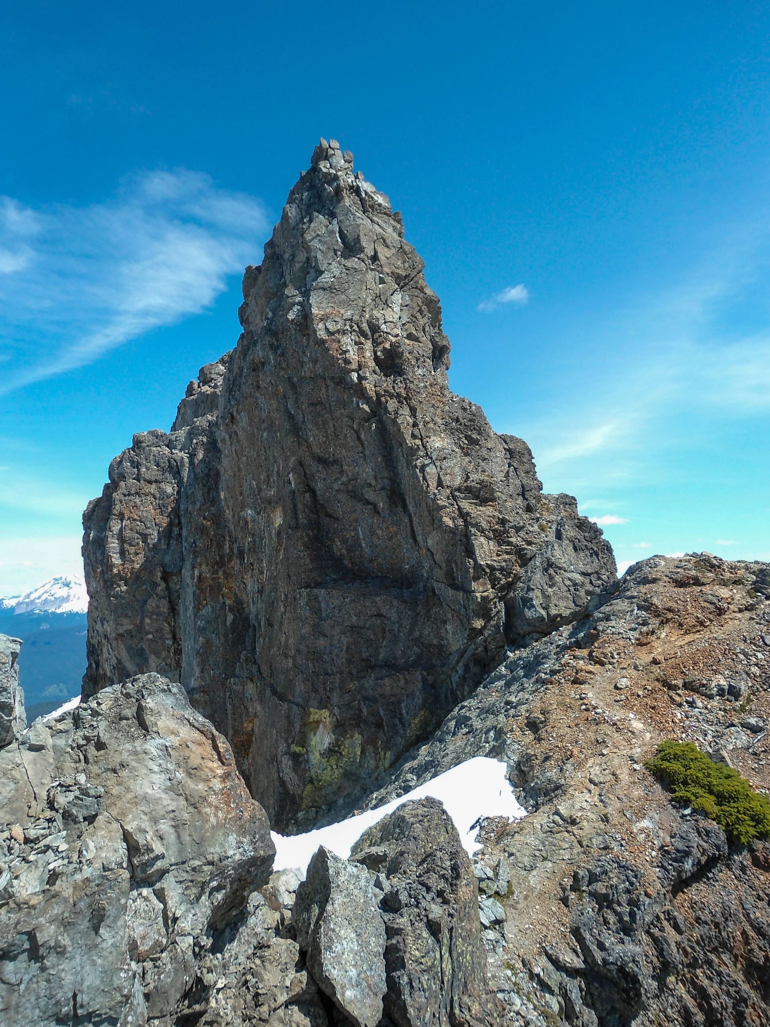
We quickly scrambled up some scree before reaching the base of the Pink Slabs. The Pink Slabs are a steep slabby rock wall at the beginning of the scramble up top. To me, this was the toughest section of the climb. Comfortably with exposure, and the ability to make some high-level Class 3 moves are necessary to safely get past. Once above the route returned to Class 2+, as we ascended some more moderate slopes of dirt and loose rock. After traversing a few snow fingers, the trail continued to the upper ridge, where the true summit of Sky Pilot finally came into view; its pointed top pierced the sky. We descended down its base before traversing to its right and heading up the obvious gully. After a few low-level class 3 moves, we found ourselves on the summit!
Looking up
Pink Slabs
Looking down the Pink Slabs
Traversing the snow finger
Summit Block
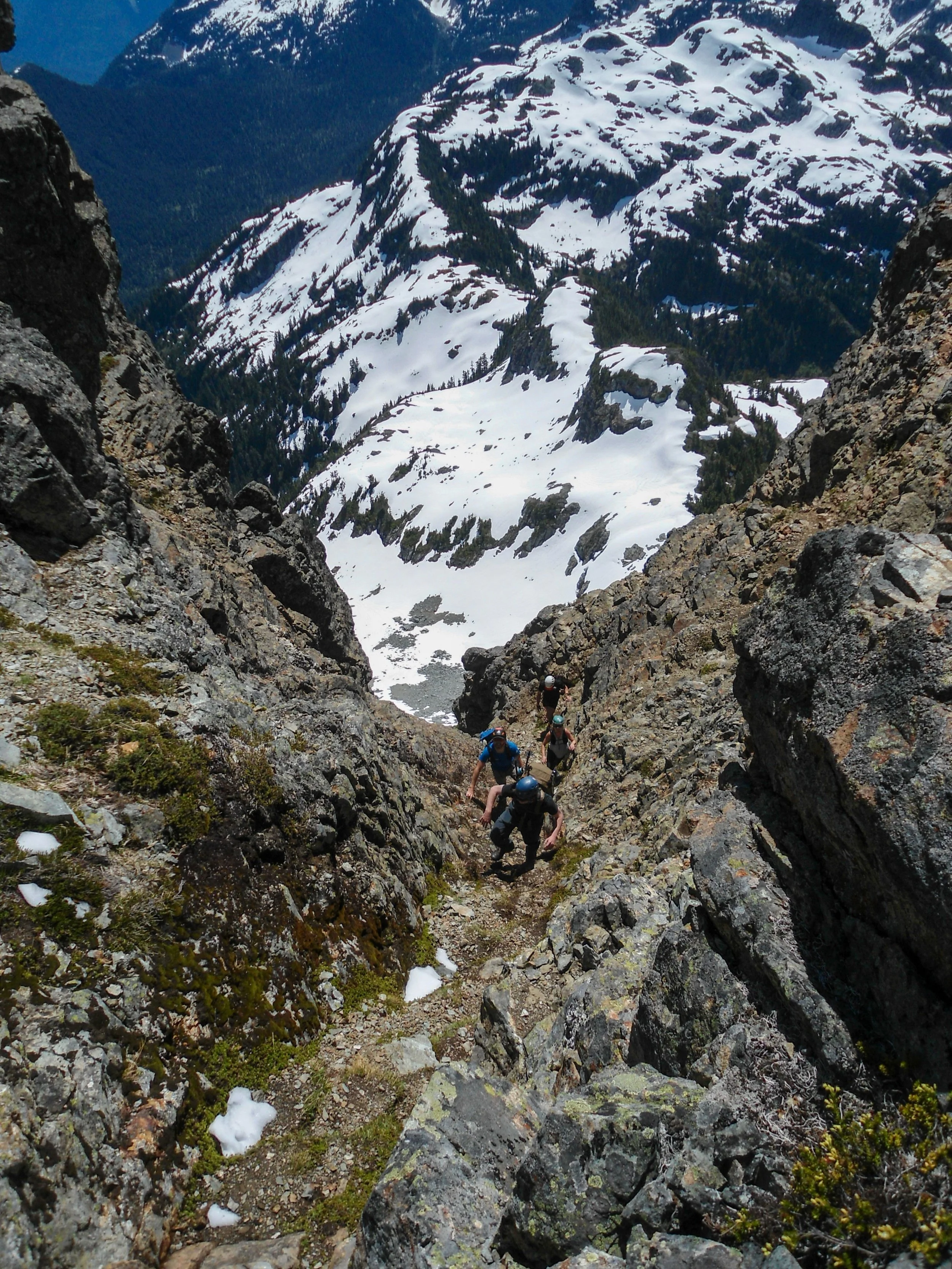
Up the Gully
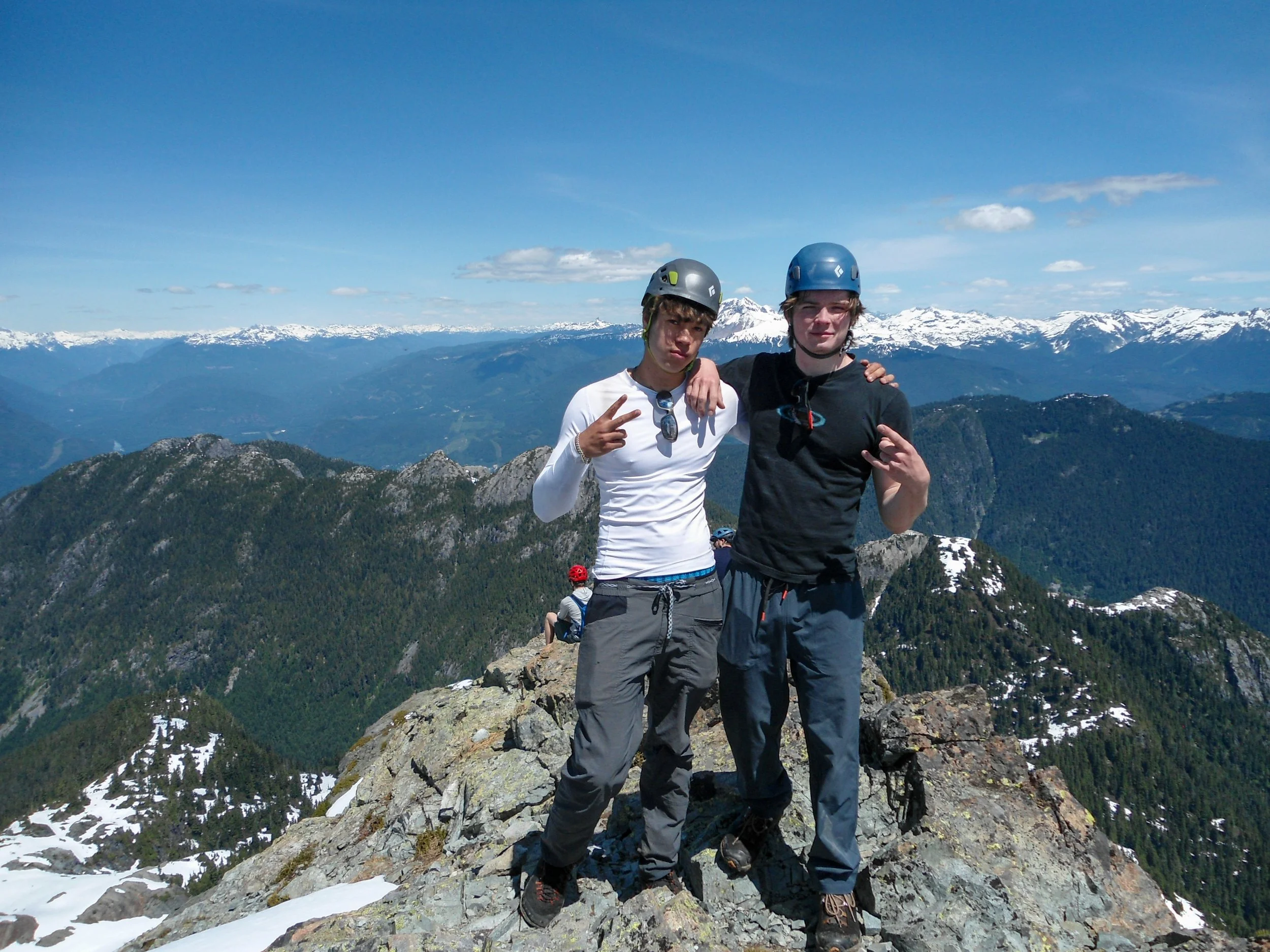
There may not have been solitude up top, but there sure were views. Ghilbraldi, Baker, The Black Tusk, and Tantalus were the standouts. I also really enjoyed looking south down the North Shore to Mount Brunswick. After 30 minutes up top, we started heading down. Descending the Pink Slabs wasn’t bad; it just required some focus and precision. Once back on the snow, we decided to descend the direct route, electing to glissade it, and most of the snow sections. Definitely a perk of going in June. The rest of the descent went without note, and we found ourselves back at the car at 3:30, 7:30 hours after we left.
Boom
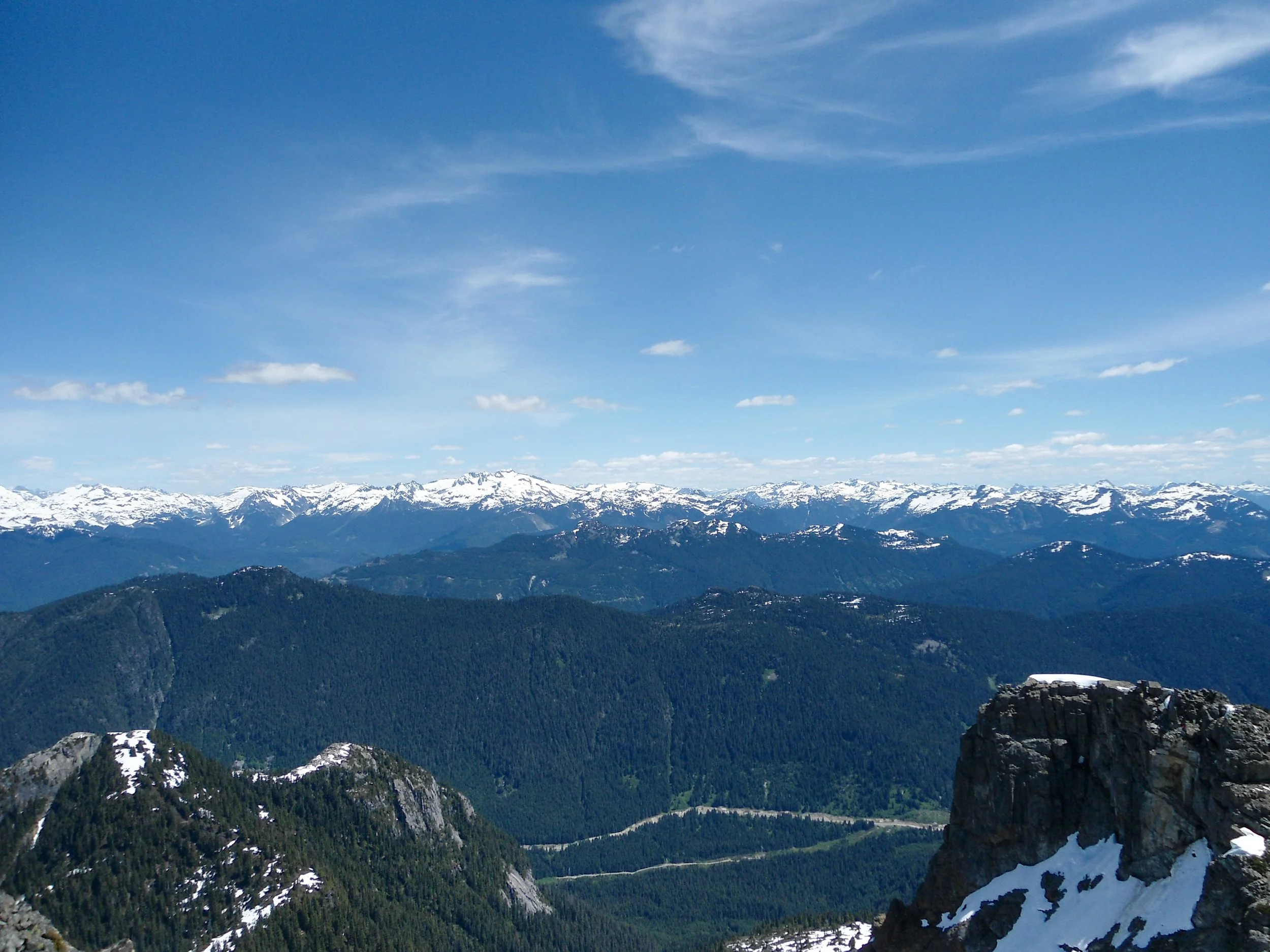
So many mountains
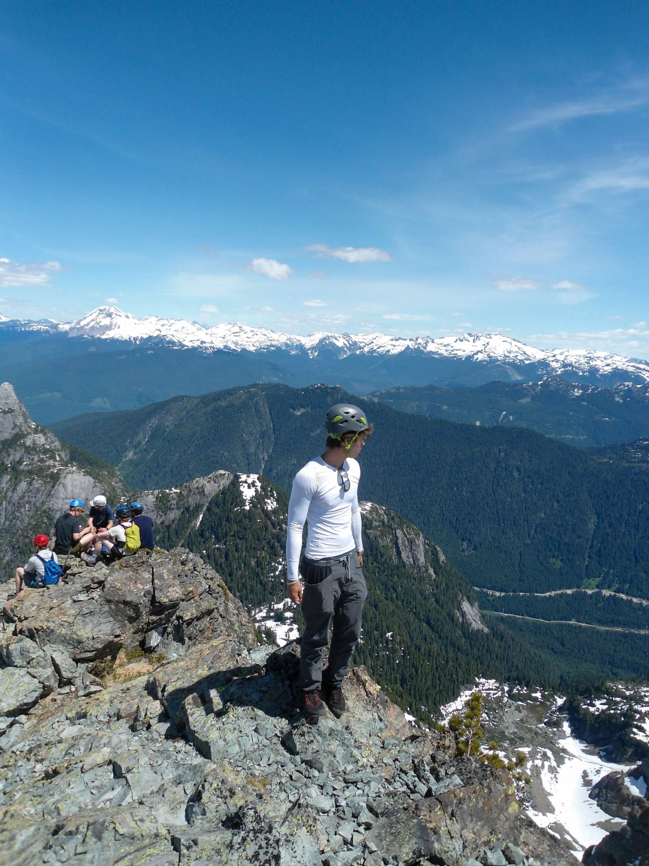
Summit shot
Overall, this peak is popular for a reason. It's a fun, well-maintained, prominent peak that takes you through some truly stunning scenery. People brought a wide range of gear, from just shoes to mountaineering boots, a rope, an ice axe, crampons, and a helmet. We just used approach shoes, poles, and our axes for the descent. Go with what you're comfortable with, but don't underestimate the mountain. As always, Happy Hiking, and Stay Safe.
Final Stats: 11 Miles - 4,500’ Gain - 7:30 C2C