Mount Deception WA
July 5th, 2023
Hi, we are the Mountain Goats and today we climbed the rarely climbed Mount Deception in the Olympics. To get an early start we car-camped at Upper Dungeness trailhead.
We started hiking just before 3:30 AM and took the trail up to Royal Lake (missed the sign in the dark). We ended up accidentally taking the Dungeness River trail from 1/4 of a mile but besides that, we had no problems going up to Royal Lake, which just took under 3 Hours. From here the trail snakes up to Upper Basin Tarn which is at 5700' and here the trail ends.
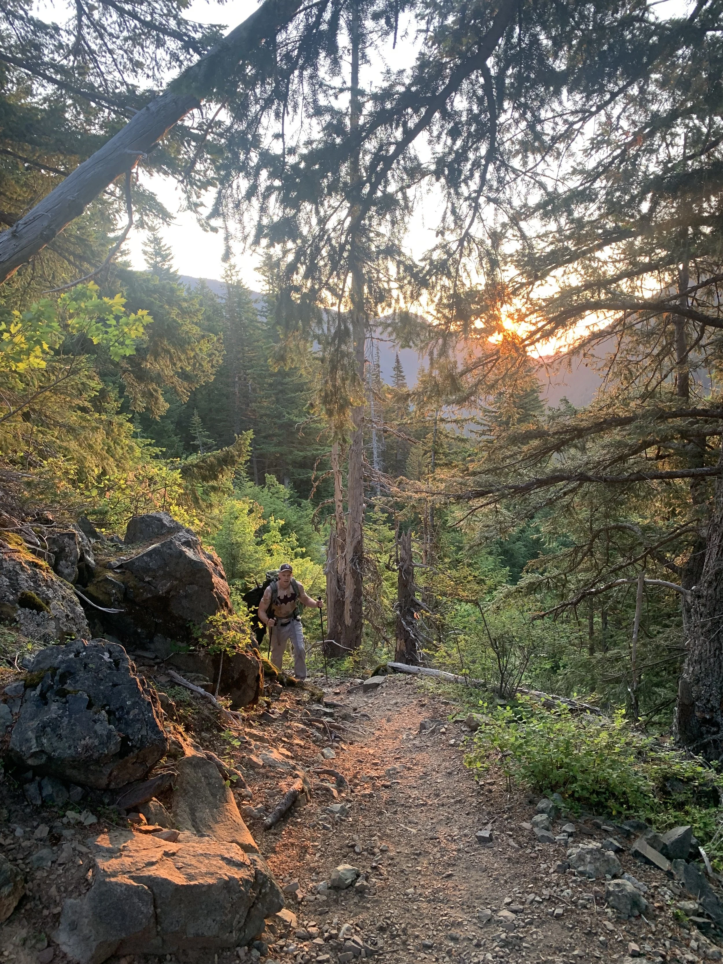
The morning sun peaking through the trees
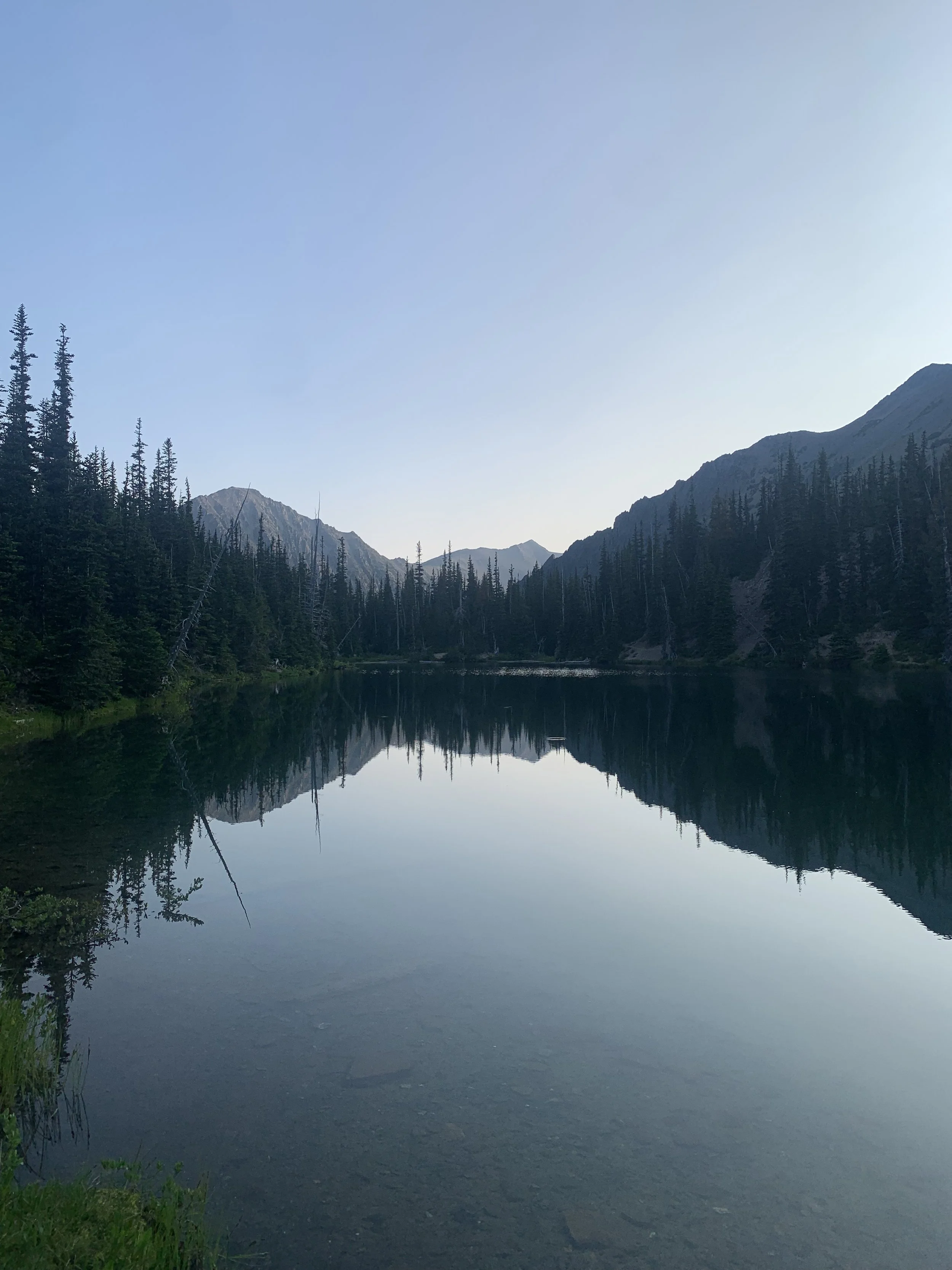
Royal Lake
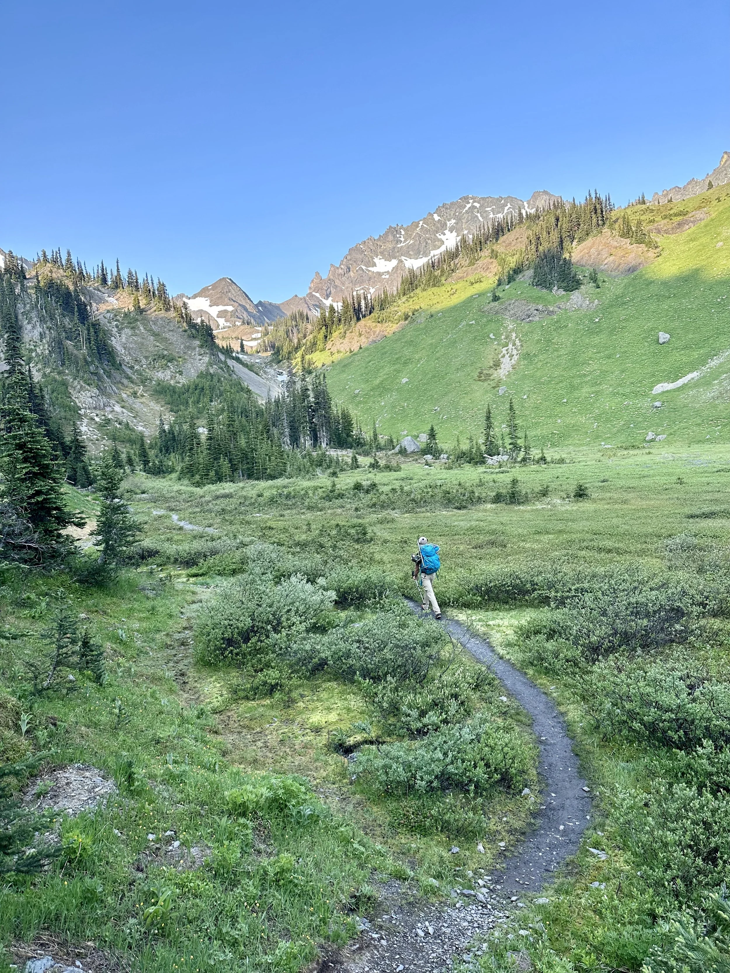
Through the meadows
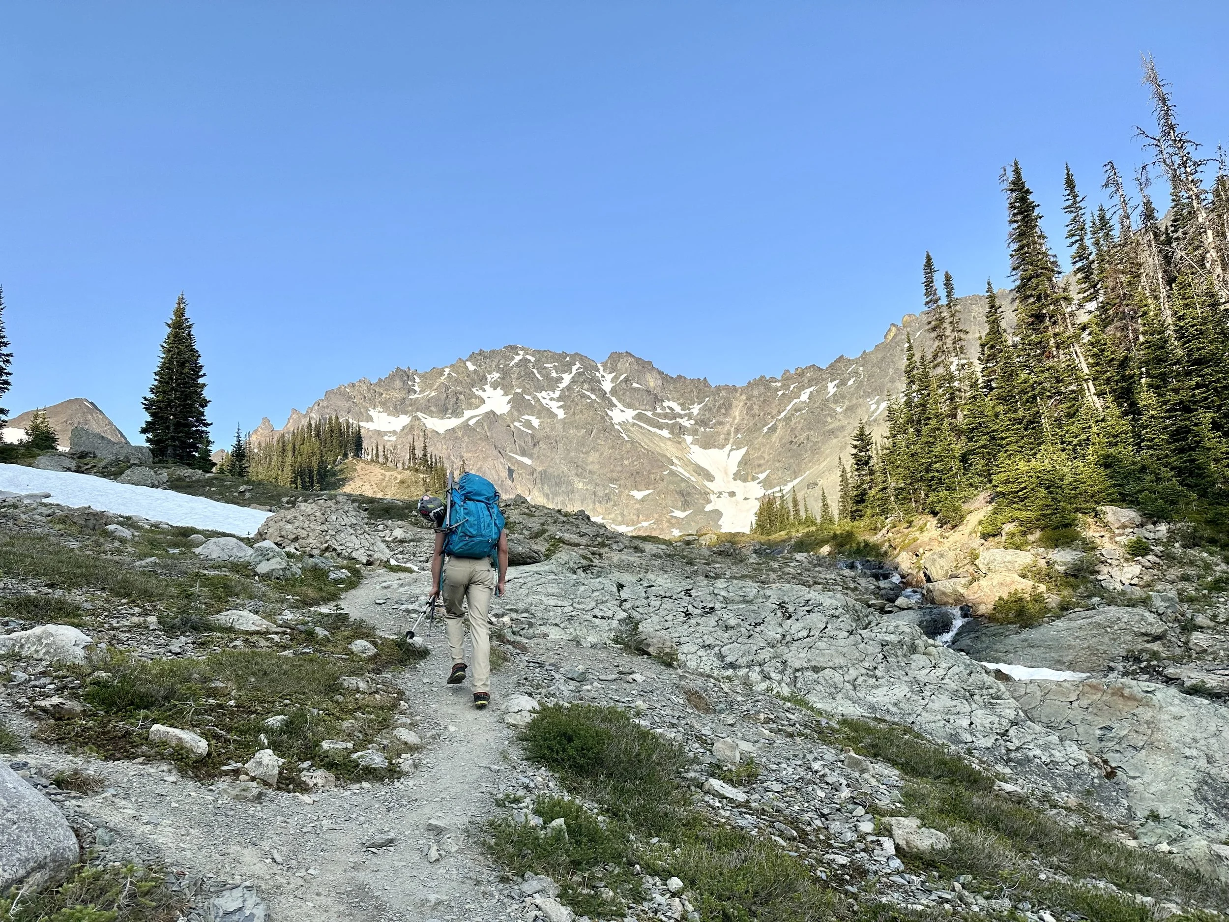
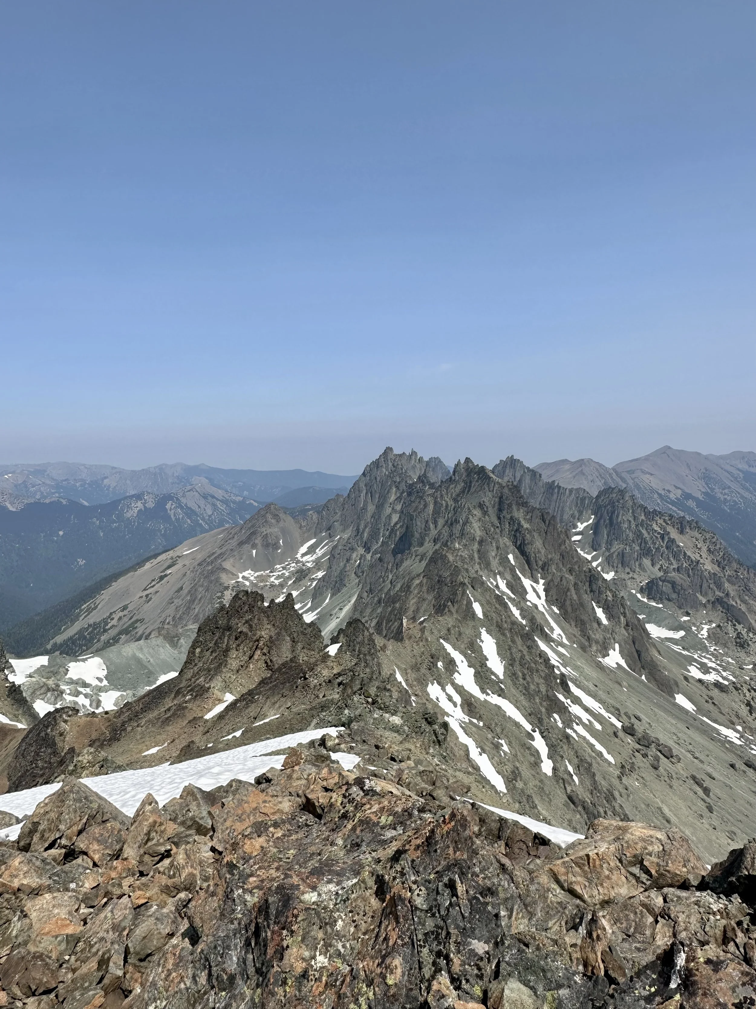
Looking towards Deception
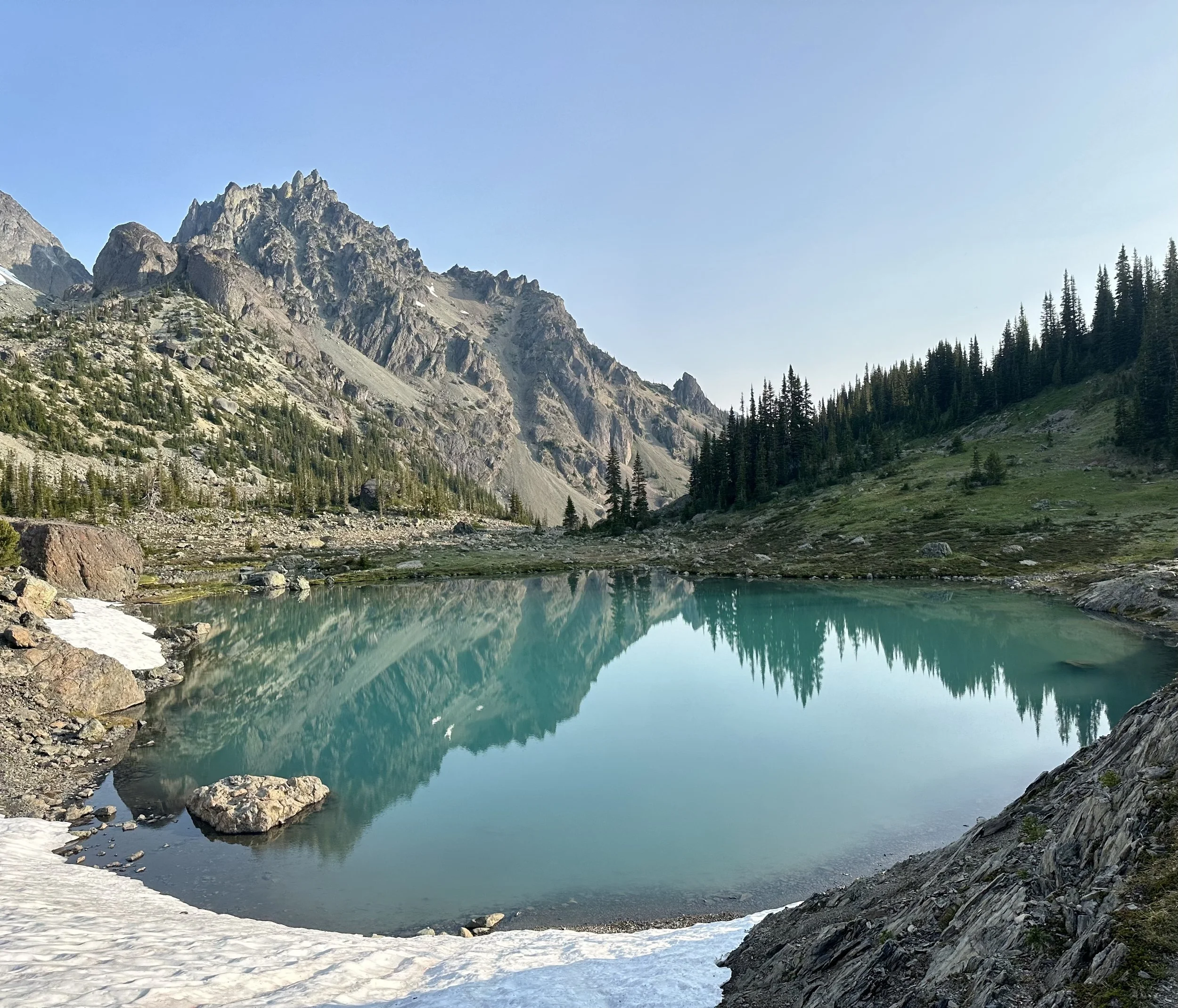
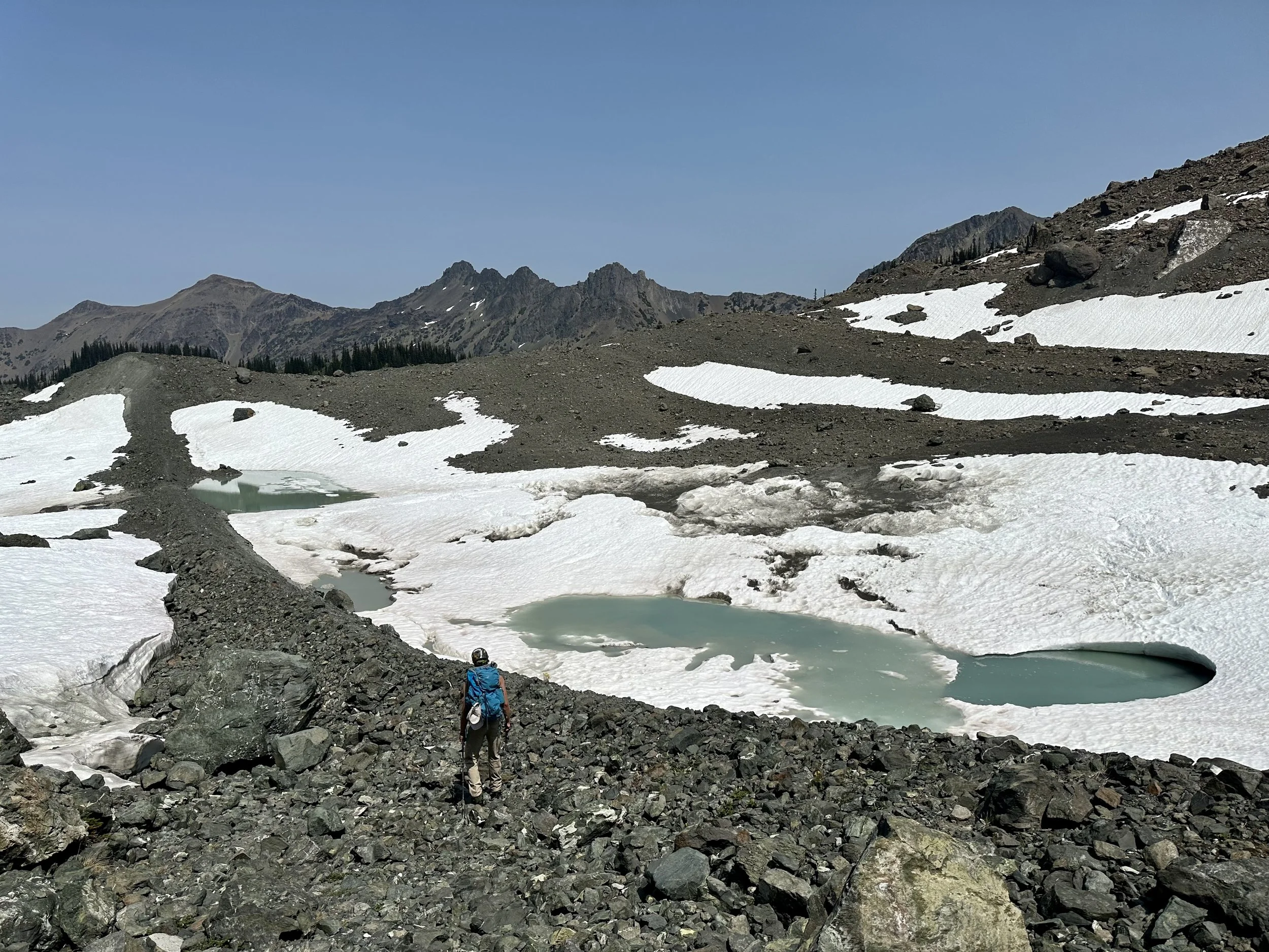
I love this tarn
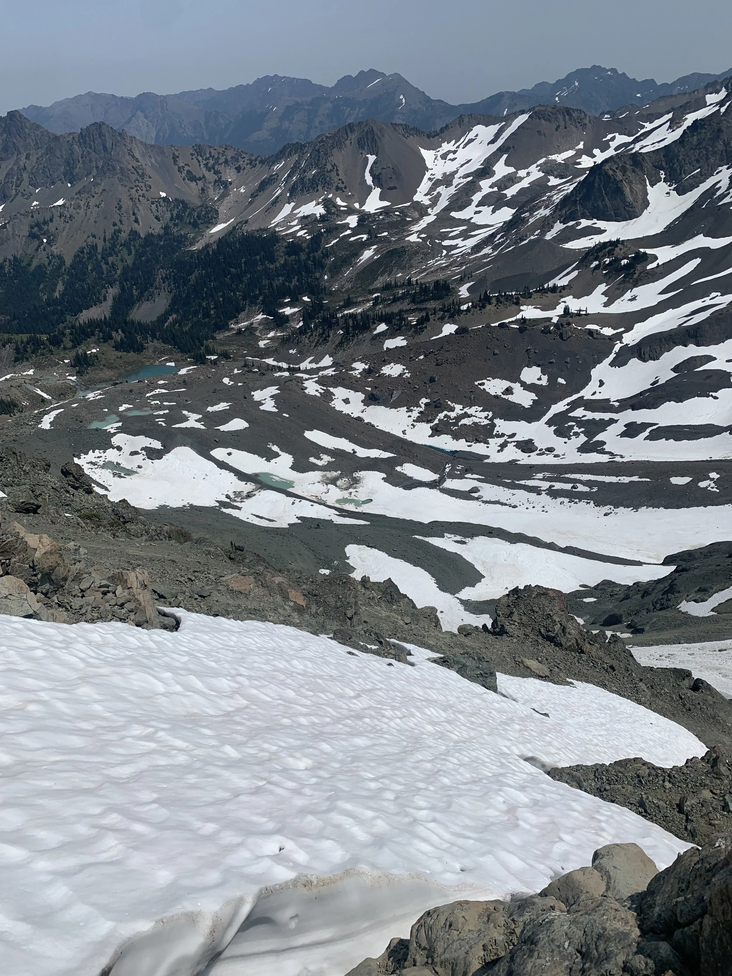
From here you walk across a rocky valley toward Mount Deception and you need to get up to around 6,200' feet to start the climb up the ridge. After a bit of looking, we decided to head for a rock formation on the right of the tarns and follow it up towards 6,200'. This proved to be the right choice as we had no problem getting to 6,200 which was the beginning of the snowfield.
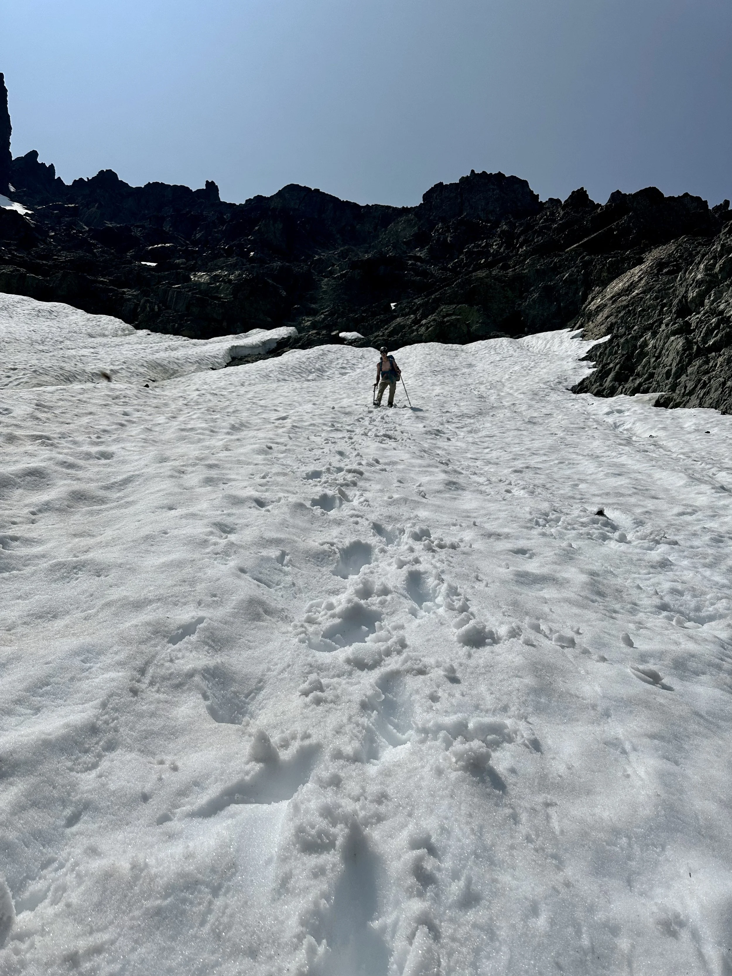
From here the trail goes straight up the snowfield towards rock formations at the top of the ridge. We had brought our crampons but since there was a faint bootpath we felt fine with our boots and axe. Once you're at around 6,800 feet near the top of the ridge you're supposed to take a hard right and get off the rock. Unfortunately, we stayed too high and ended up having to down-climb and attempt to traverse over. This is where the climb got dangerous, as due to the snow melt we couldn't just get on the rock, the snow had melted like a cliff on the edges, which was at least 7 above the safe rock below. Due to us being in a tough position where we didn't really have another option we ended up jumping down to the rocks below. Unfortunately, after I safely jumped down my Dad slipped and hit the rock below, but besides of few scrapes and a good scare was fine.
Some steep icy snow
We went to high, some serious steepness here
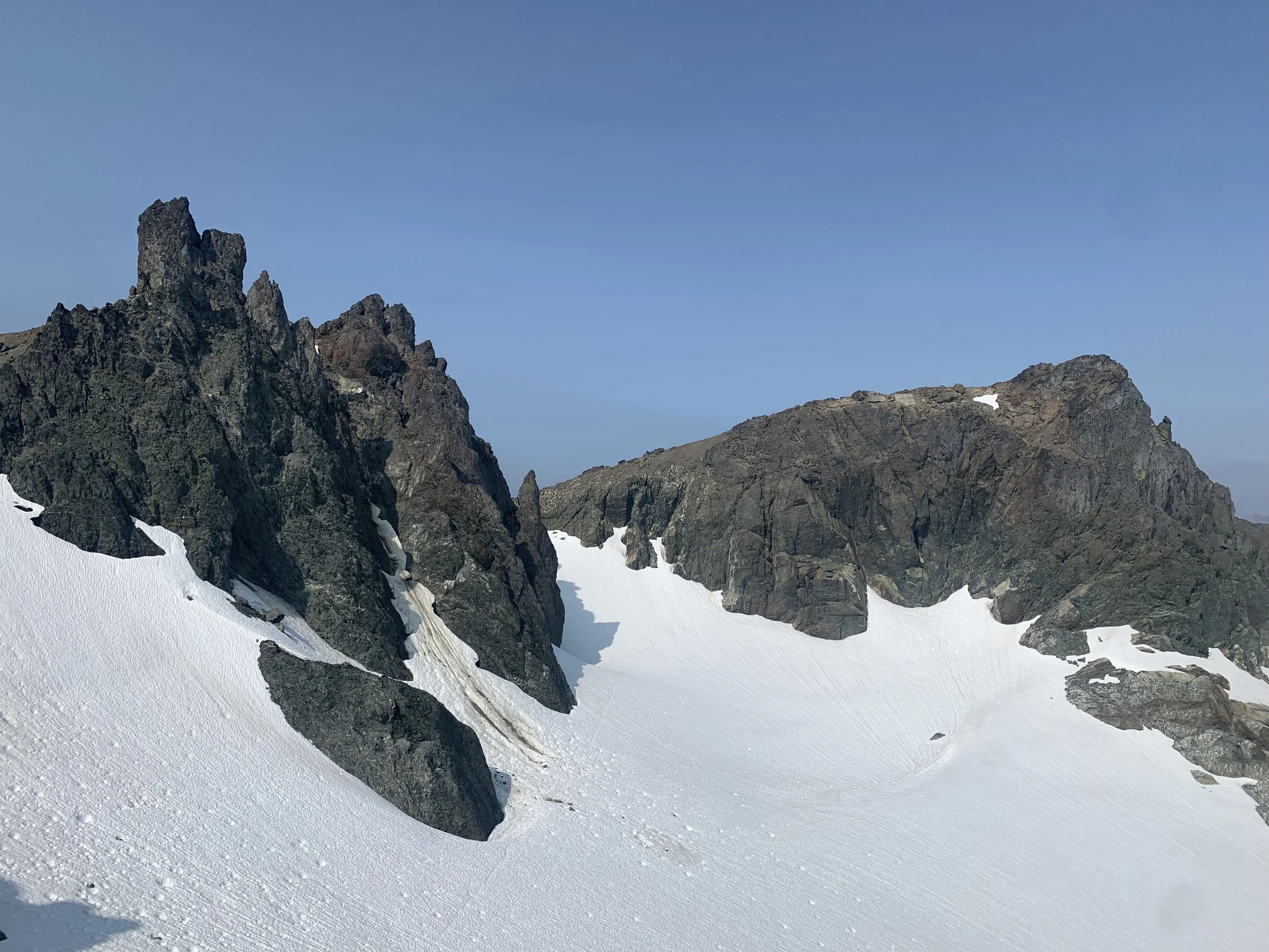
Once you're on the rock it gets a bit easier, although the rock is very crumbly, will scree covering slabs. This is definitely a no-fall zone. The trail heads right, before sharply heading back left as you ascend the ridge to Deception-Martin Sadle. By this point you're at 7,200' but unfortunately you need to drop around 200' onto the snow. From here traverse the snowfield and go right of Gihooley tower and then ascend the ridge. Once you're on top of the ridge, drop again below Giholley Tower and traverse to the other side of the ridge. At this point it's just a walk up the summit, the route goes slightly right, before heading left as climb up the backside of Mount Deception.
Looking towards the saddle
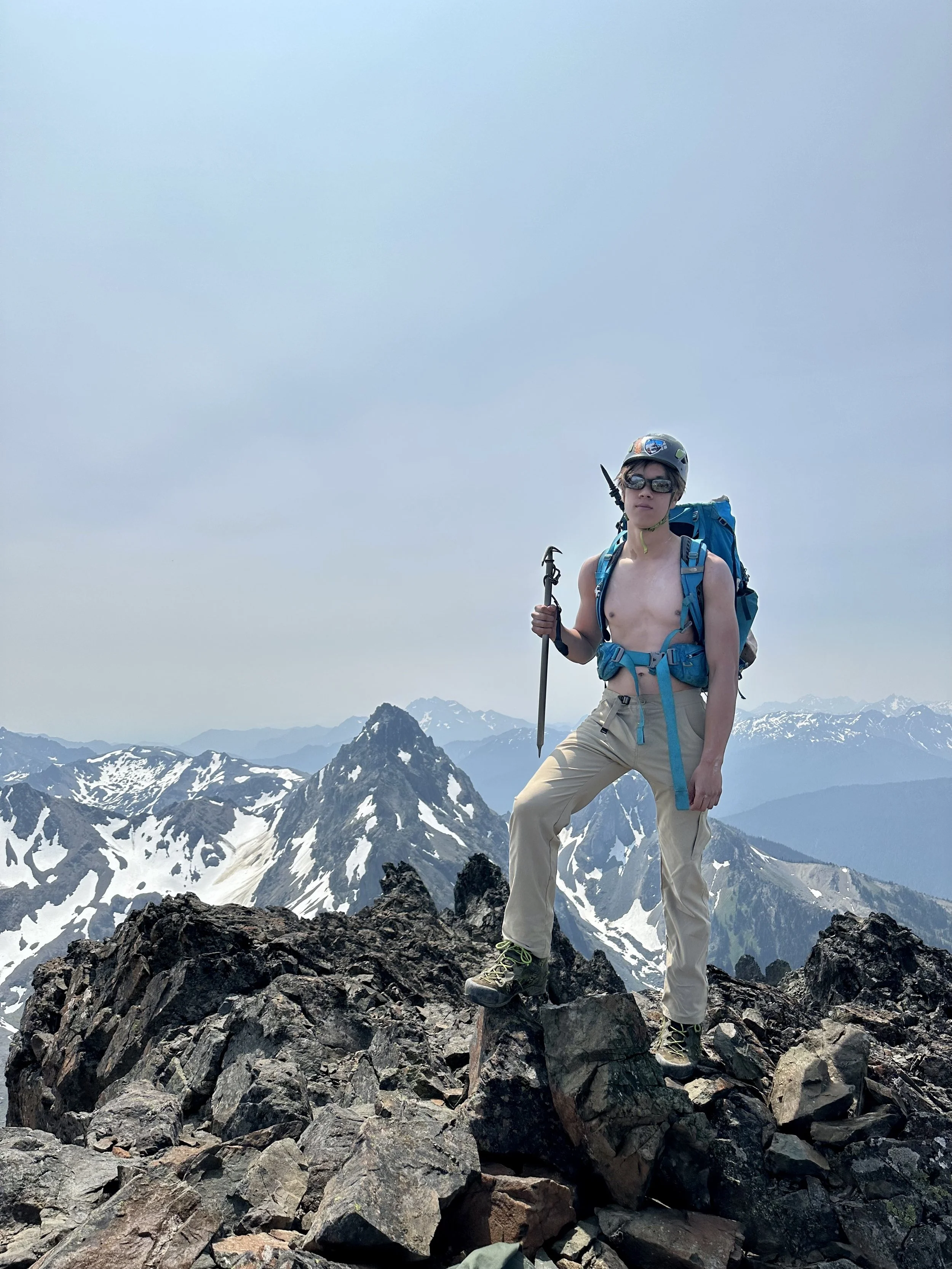
A tired summit shot
The summit is massive and there are plenty of places to sit to take in the stunning views. Due to it being the 2nd highest Mountain in the Olympics, you get amazing unobstructed views of the whole Peninsula. We summited around 11:00 AM (7 Hours and 30 Min from the car) and after hanging out at the summit for an hour it was time to head down.
Looking down the ridge
The route down was a lot easier than the way up as we didn't make the same mistakes as before. Instead of getting on the snow at 6,800' feet, we dropped down to 6,700' on the rock before heading on the snow which was so much easier. The one thing is an absurd amount of rocks were kicked down due to the crappy rock, so make sure to bring a helmet. Even without making mistakes it still took around 2 1/2 hours to get to Upper Basin Tarn. From here you still have over 8 Miles to the trailhead but at least the trail is easy. After hanging out at the tarn for a bit we bit the bullet and hiked the last 8 miles out. We ended up getting to the car at 6:30, 15 hours after we left the car in the morning.
I loved this part
Overall this is a very long hike with some pretty dangerous parts. The rock on the mountain is some of the worst in Washington, so make sure to bring a helmet. You're also on some extremely steep and exposed snow so bring an ice axe and crampons. (We brought crampons but didn't use them). And keep in mind this is a 12+ Hour climb even if you do everything right so plan accordingly. Happy Hiking
Final Stats: 21 Miles-5700' Elev Gain-15 Hours Car to Car, which included an hour on top and a half hour at Upper Tarn on the way down