Mount Spickard WA
August 2-3, 2026
Mount Spickard is the 16th-highest and 9th-most-prominent peak in Washington. It sits in the northernmost part of the North Cascades National Park, as its summit is only 2.1 miles from the US/Canada border. While Spickard is a heavily glaciated peak, the standard route via Depot Creek and Ouzel Lake bypasses the massive Silver Glacier by taking steep scree fields and snow to the summit. Joining me on this climb was my buddy Trevor
We started from the Depot Creek Trail, which is located 50 feet from the US/Canada border. The Depot Creek Trail is an unmaintained trail that follows Depot Creek all the way to Lake Ouzel. The trail varies from a nice path through the forest to a nonexistent path straight through Depot Creek. Trevor and I started around noon and made our way through a gentle forested valley following the creek. The recent rainy weather created an unbelievably wet approach. Everything was soaked and soon so were we. Luckily, the trail was flat and fairly easy to follow (minus some massive blowdown sections along the trail). That changed as we approached the famed Depot Creek Falls and began to ascend steeply, continuing the theme of following along the creek. Suddenly we broke out of the trees and onto the actual waterfall. 3 ropes were laid down to help climbers ascend the wet moss-covered slopes. Although slippery, the ropes allowed us to bypass this section with little difficulty.
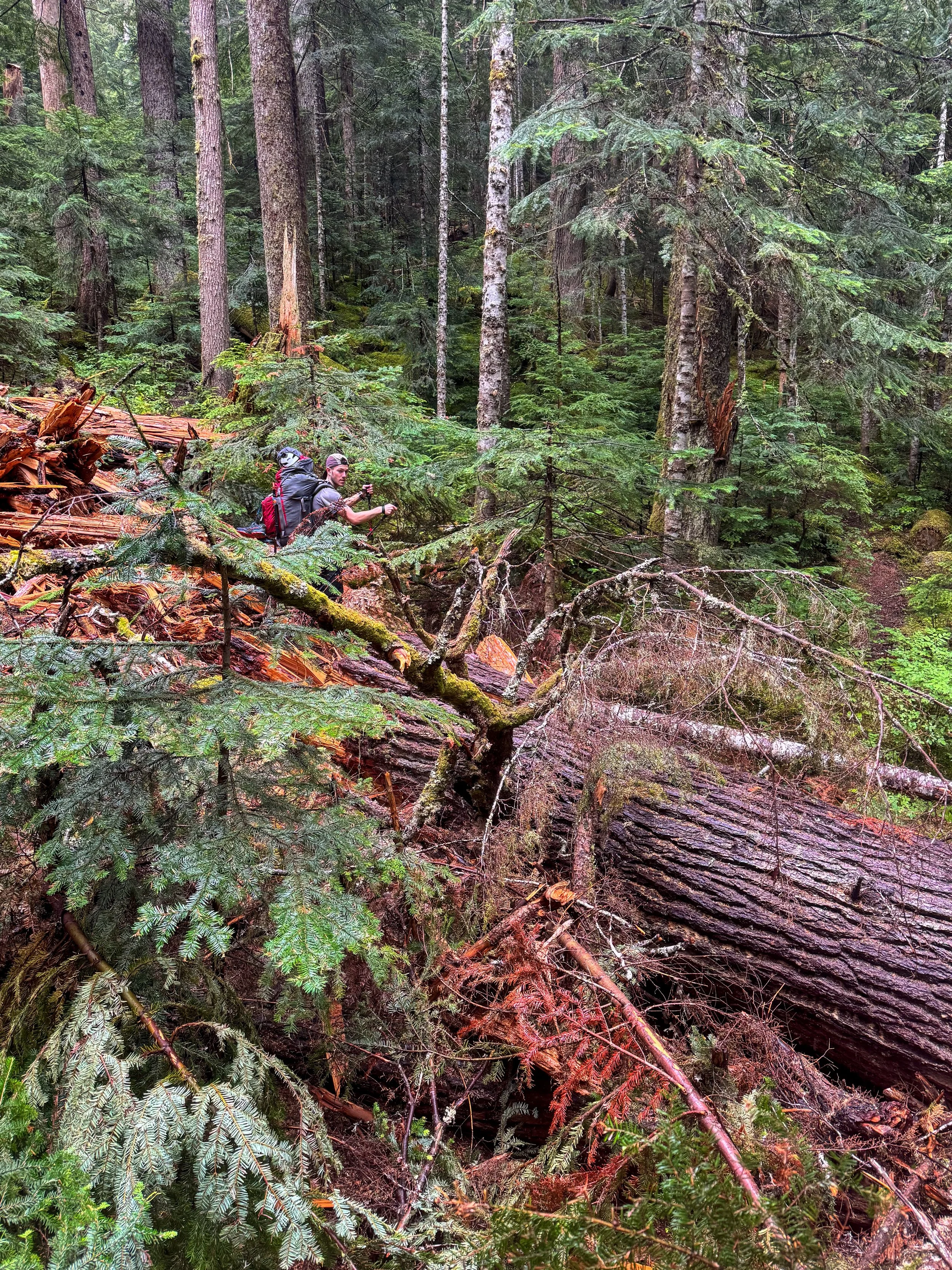
Trevor trying to pick up the trail
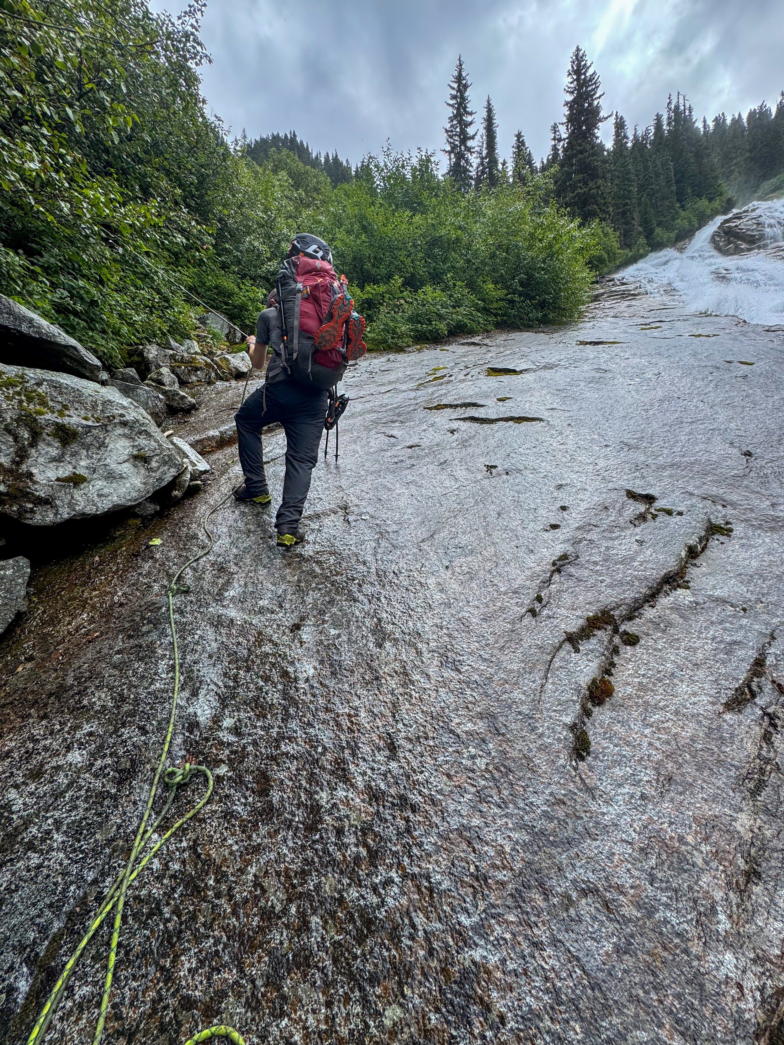
Up the falls
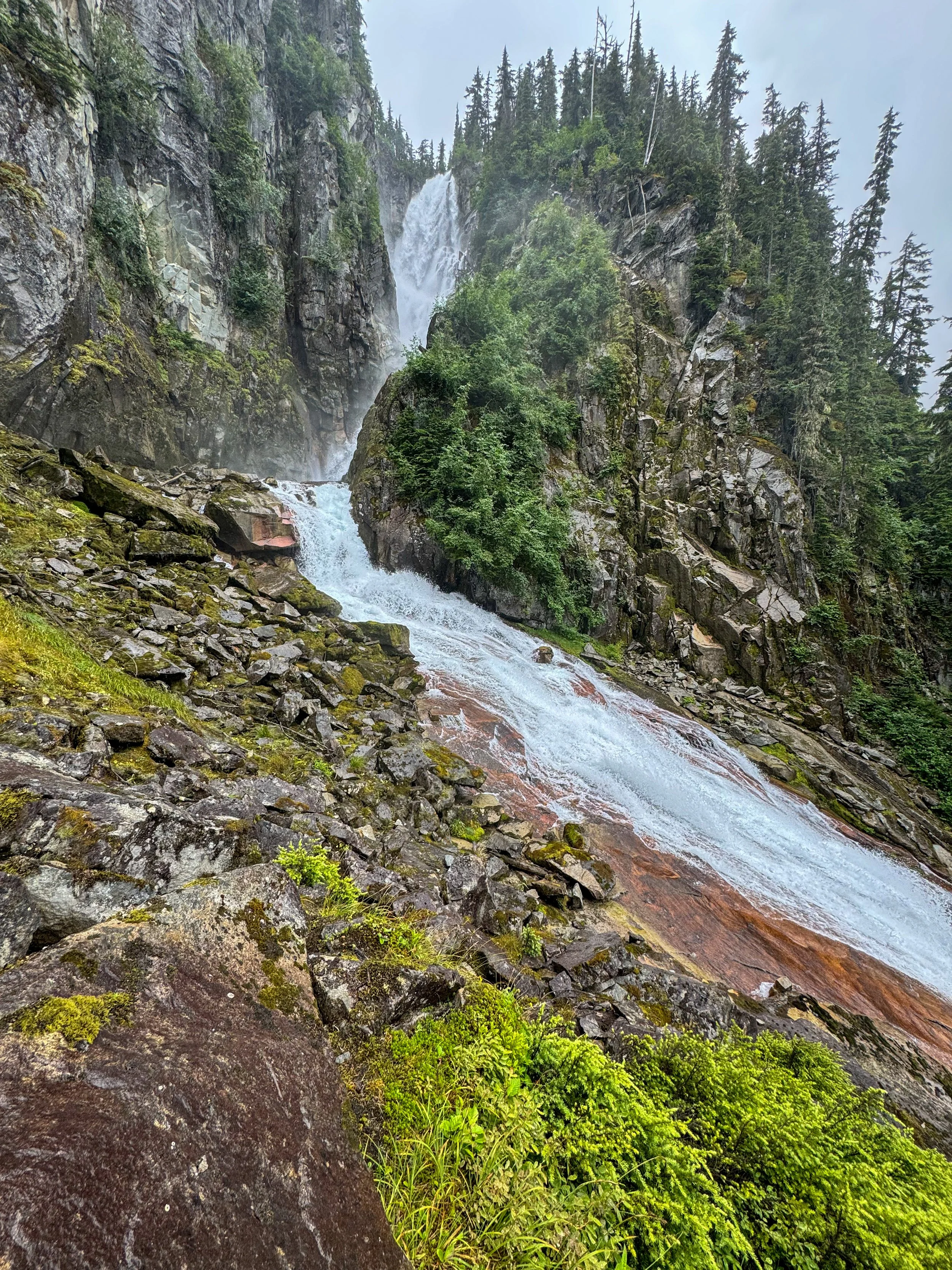
The falls
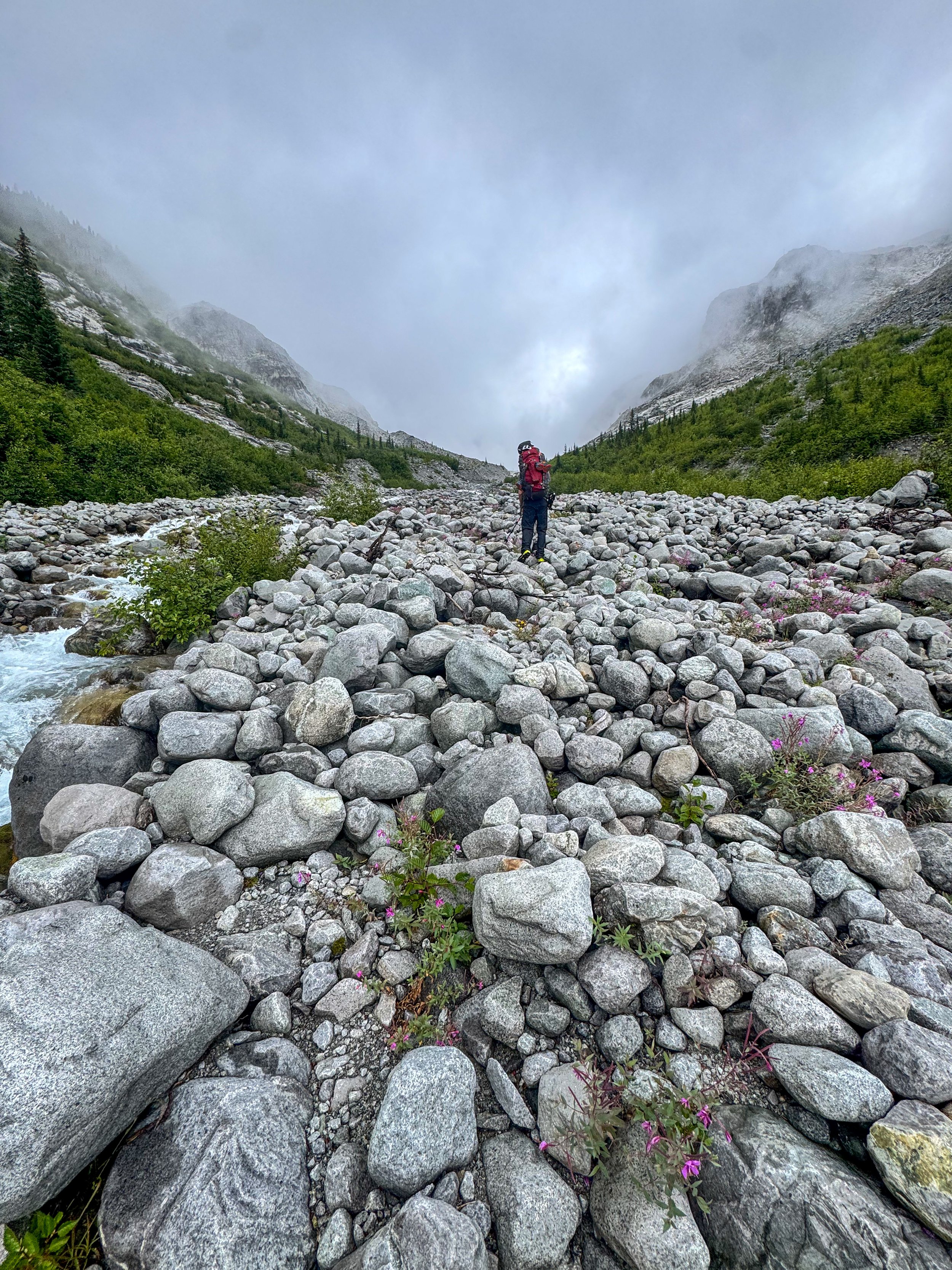
Above the falls, trudging up the creek
Once past, we headed back into the woods and continued the grueling ascent through boulder fields and tree root staircases carved into the dirt. Both were slippery. We gained 1000' in .3 miles here.
Once above the waterfall, the trail flattened as we headed through marshlands and inched along the sides of boulder fields before re-meeting with Depot Creek. Here, the trail became non-existent as most people follow the creek up to Ouzel Lake by staying in the middle of the creek. We opted to cross to its right side and stay high along boulders all the way up to the lake. At this point it finally stopped drizzling on us, and the clouds parted just enough for us to get a glimpse of Redoubt and the massive Redoubt Glacier.
Ouzel Lake is a small turquoise alpine lake that sits at 5,700' at the base of Mox Peaks, which towered above. Mountain goats hopped straight up a waterfall in the distance. We found a nice sandy spot on the lake's shore and set up camp around 4 pm. Rain began to lightly come down as I clambered into my tent, quickly dozing off. Around 7 pm the clouds parted for a moment, and we got some peekaboo views of Spickard's jagged upper ridgeline. Trevor and I spent time attempting to dry our soaked shoes with boiled rocks; this unfortunately didn't work, and we were forced to go to bed with the knowledge that we'd be starting our morning with wet, freezing shoes.
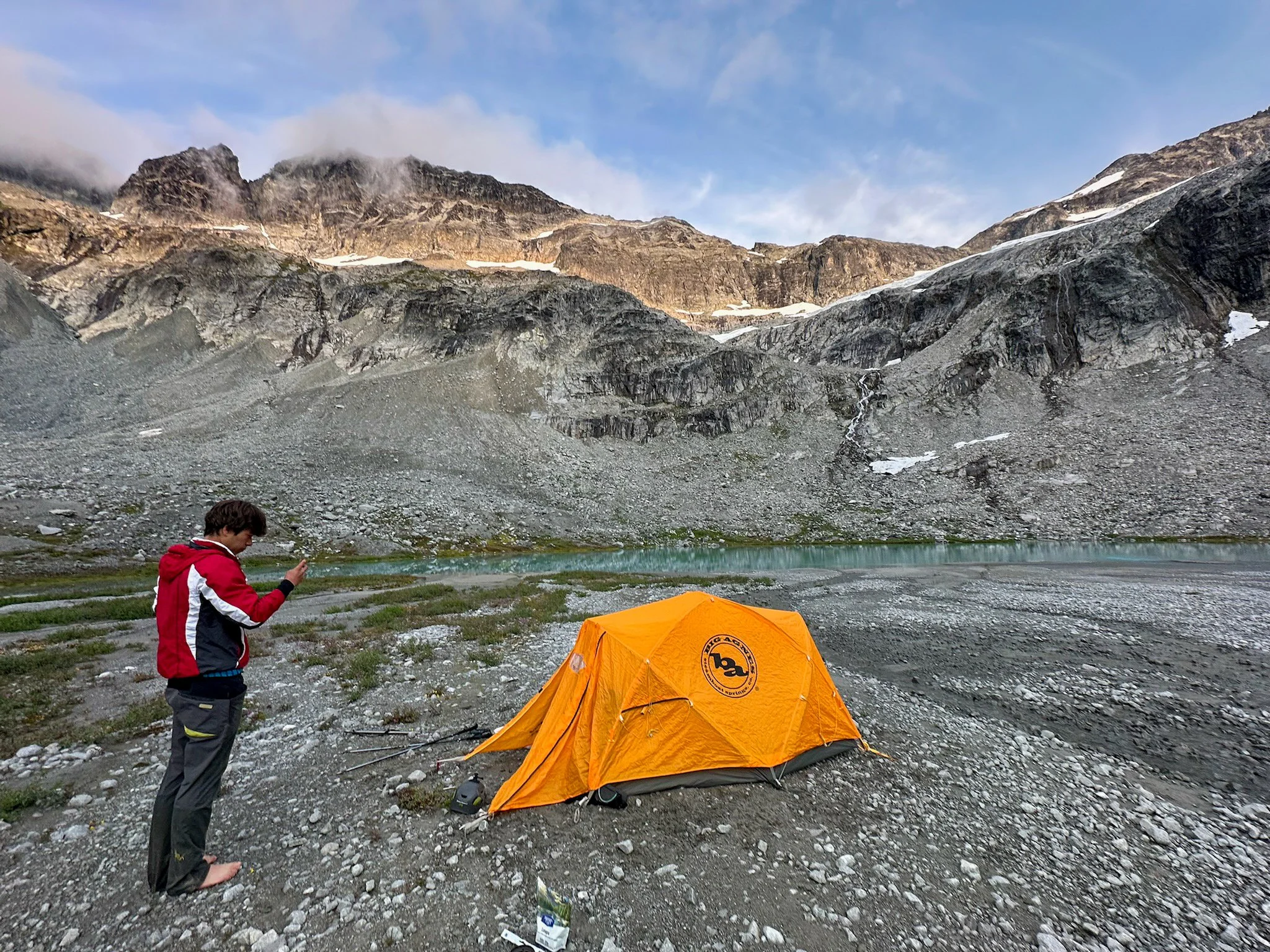
Campsite
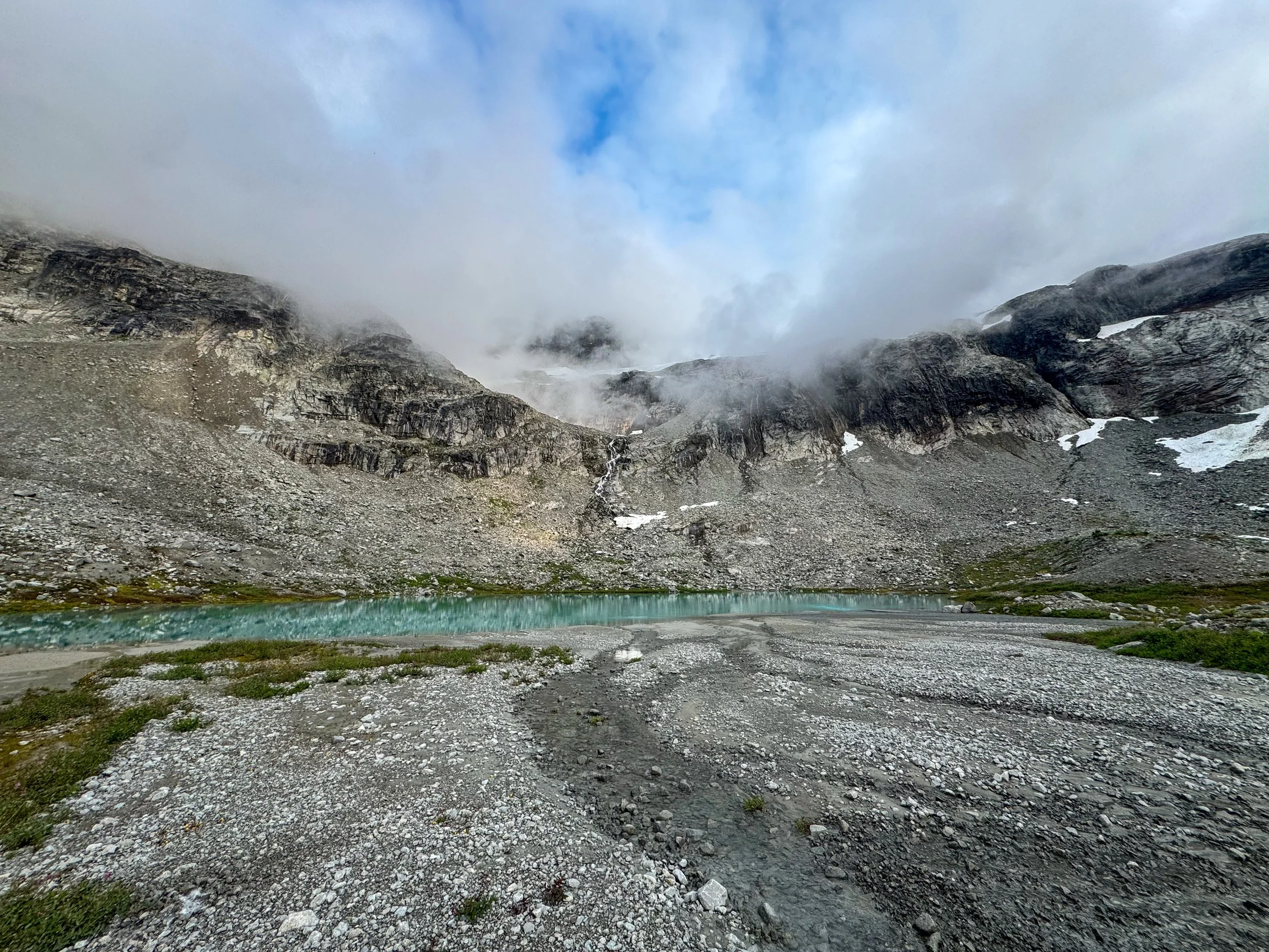
Ouzel Lake
It was a cold, windless night; nonetheless, I got great sleep up to my alarm at 5 am. After putting on all my layers, I spent a few minutes psyching myself to get outside and put on my boots. It sucked. The night was cold, and the slower-moving water froze; Depot Creek, however, didn't freeze, meaning we'd still need to find a way to cross it. We decided to cross at the rocky Ouzel Lake outflow; my right boot took a dip in the frigid water, awesome. Once past the creek, we ascended some moderate boulder fields, staying left before turning onto a rock ledge at 7,000'. Mount Redoubt towered behind us, its rocky summit shining in the dawn light. From here we crossed some easy snowfields before reaching the bottom of the 40-degree snow slope; we put on our helmets and crampons, and unsheaved our axes. As we ascended, the slope steepened; Trevor brought his curved axe, which was definitely the move. From the reports, most people use either 1 or 2 curved axes for this section; I only brought my longer glacier axe. We ended up ascending a wrong chute, which led to some nerve-racking backtracking before we traversed 300' south towards a notch at 8,000'.
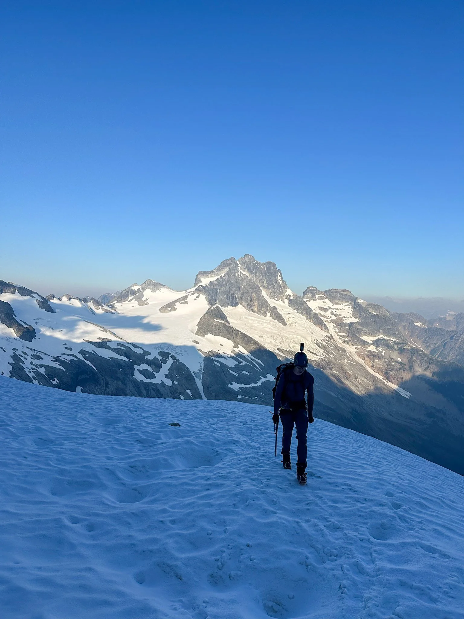
Redoubt behind me
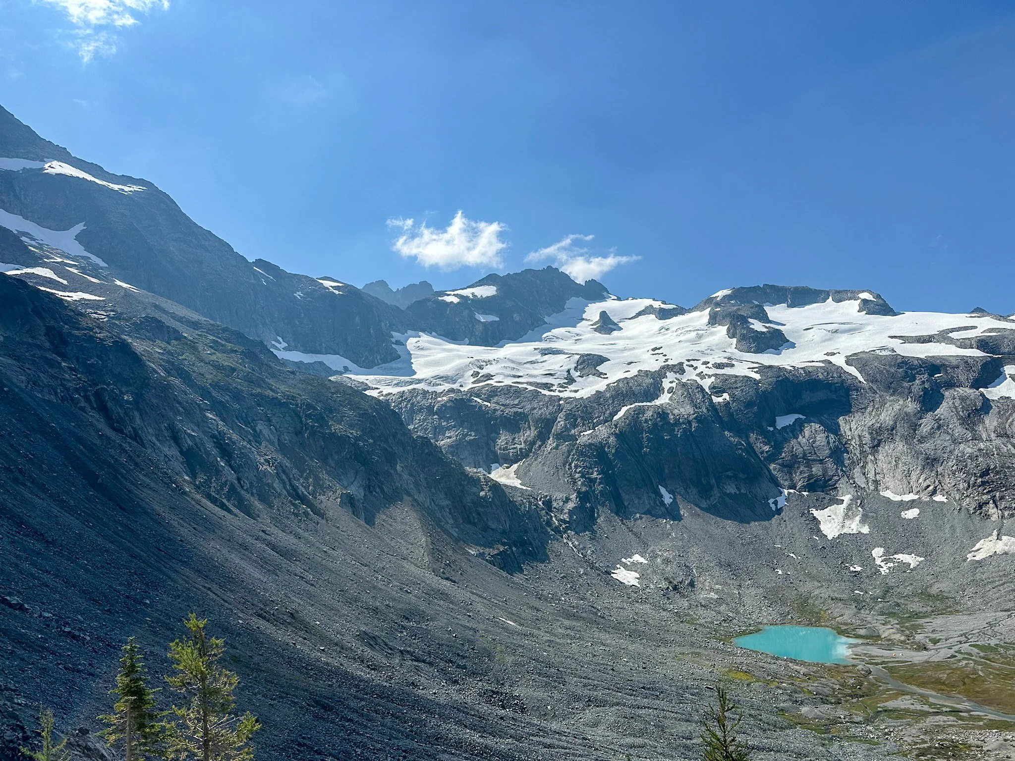
Mox Peaks
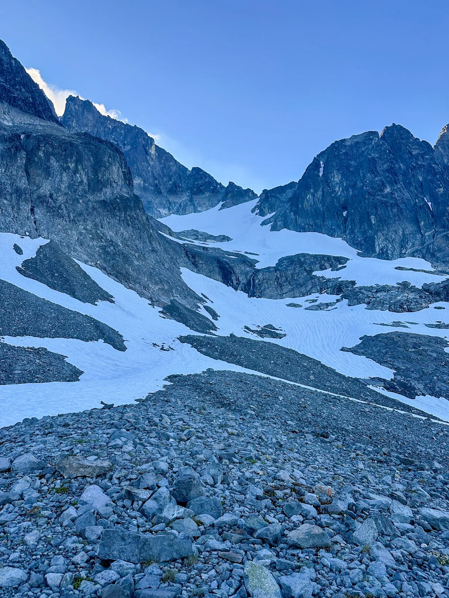
Looking at the snow section and the notch at 8000’
We took off our crampons here, as it would be rock all the way up to the summit. We quickly realized that it snowed here recently, melted, and refroze overnight. This meant that some of the rocks were covered in a thin layer of ice; this added a level of difficulty and caution to our ascent and descent. From the notch we headed up scree fields and some easy class 3 terrain on some of the bigger rocks. The crux of this section came around 8,400' as we pulled ourselves over some exposed lichen-covered wet rocks. At this point the sun had vanished, and we found ourselves in a whiteout; nonetheless we powered on, reaching a notch at 8,880'. We ended up going a bit high but opted to drop down and ascend the summit via a steep rock chute partly covered in fresh snow. We summited at 9 am.
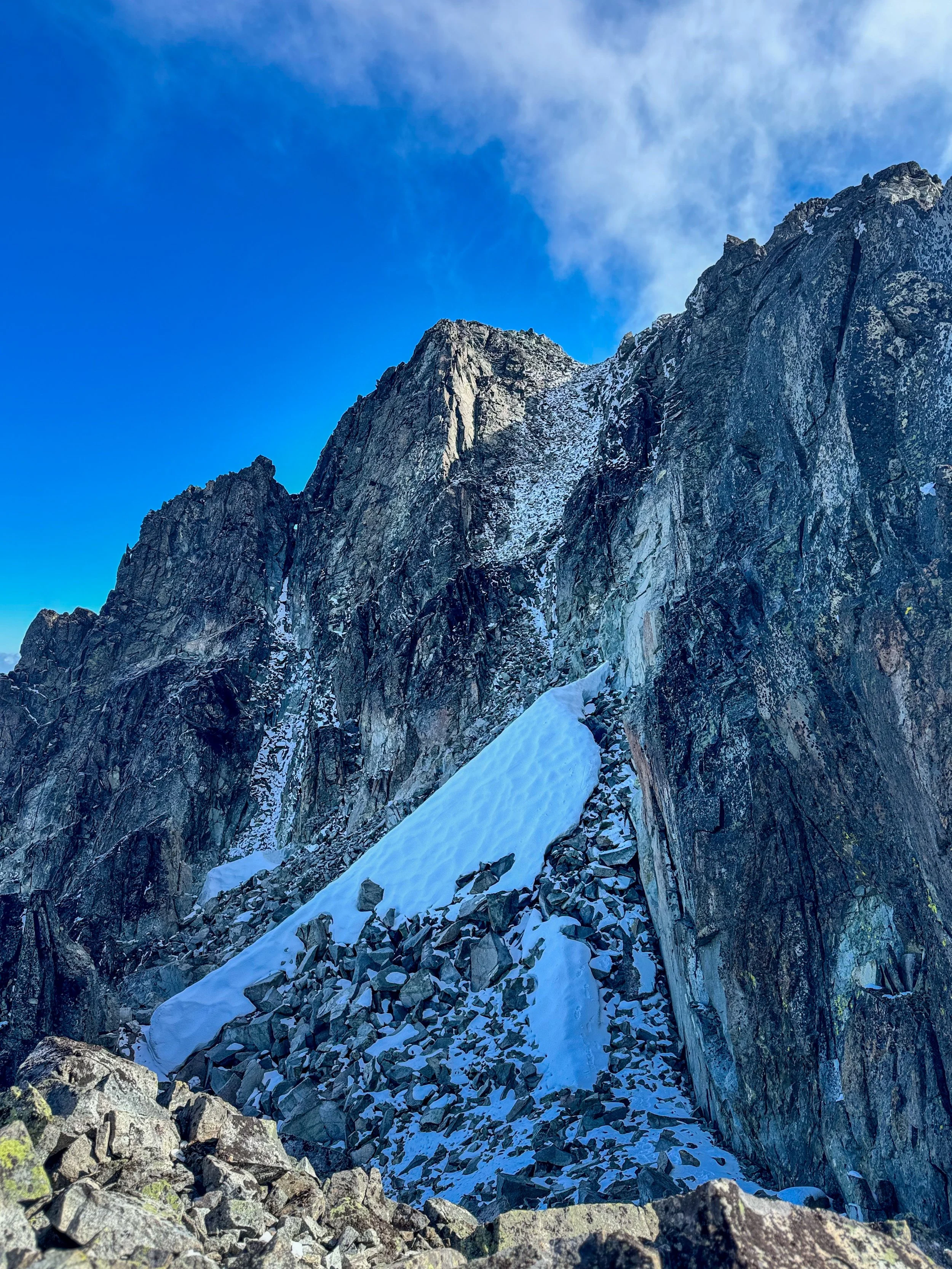
Final push to the summit
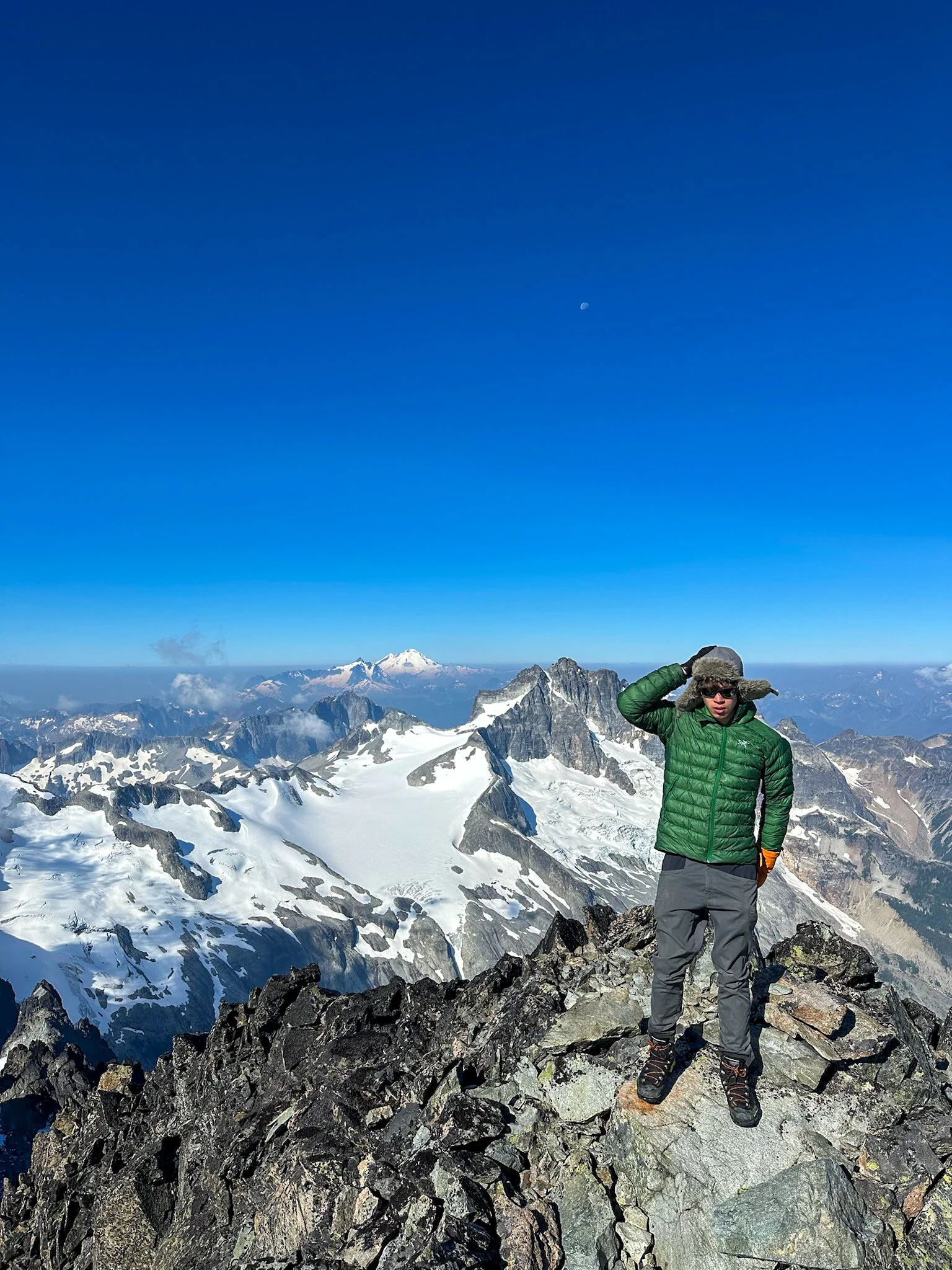
BOOM
Summit shot
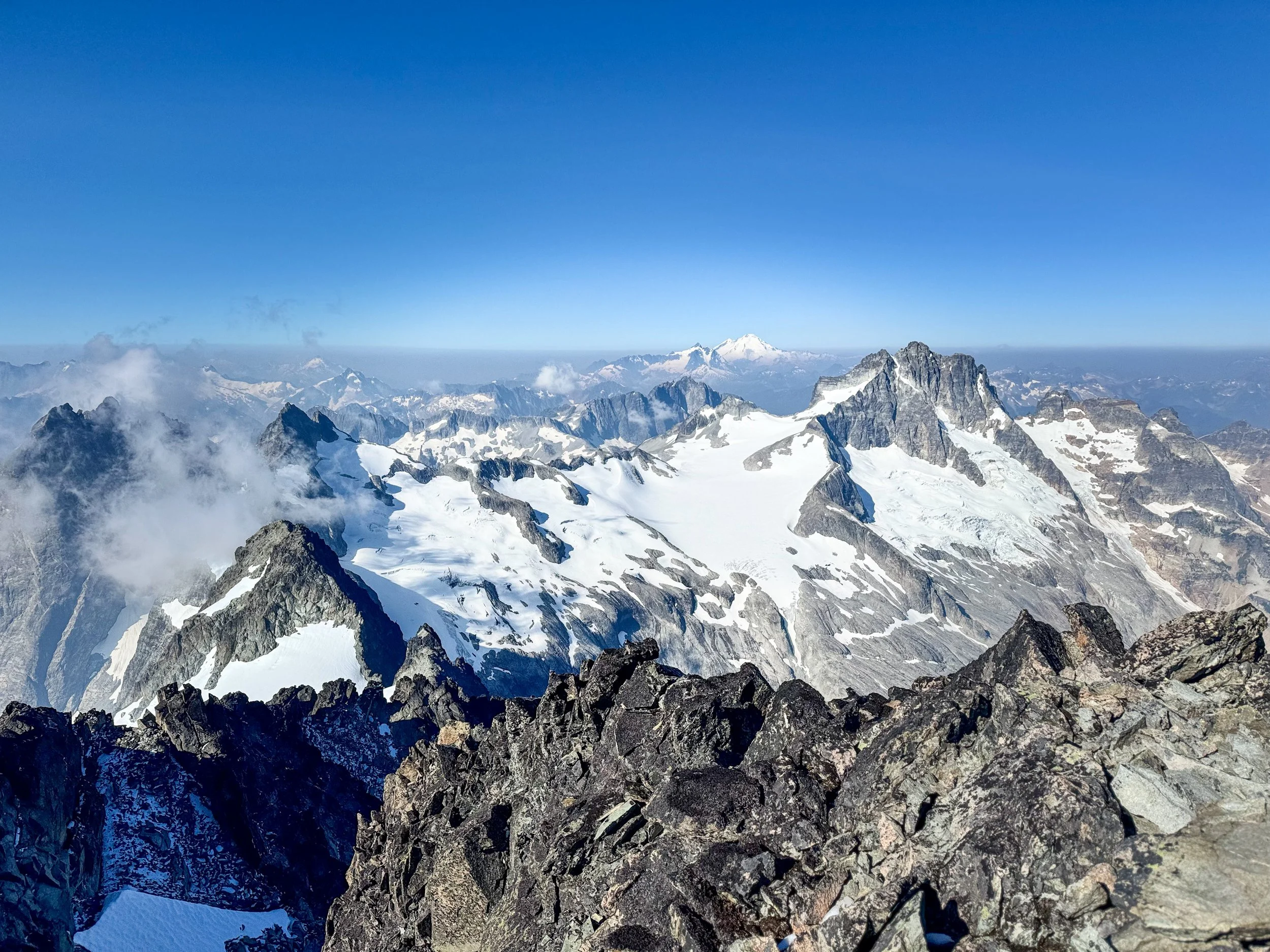
The views from the summit were unbelievable as the clouds parted, revealing Baker, Shuksan, Jack and the entirety of the North Cascades. The nearby Mox and North Mox looked especially rugged. The icy winds kept our time up top short, as we quickly began our descent.
The rock section was slow going but not particularly difficult as we picked our way down to the notch at 8,000’. Descending the snow section was a little tricky for me, as I had little experience descending a snow slope this steep. Luckily, my crampons gripped the slopes nicely, and we were able to descend by angling our crampons on their side for the steep section, before simply digging our heels into the snow as the slope grade lessened. Once off the snow, we sighed a breath of relief before stashing our gear and making our way down to Ouzel Lake. We reached our camp at 11:30 am.
After a nice break at camp, we packed up and made our way back to our cars. My legs, which had been holding up so well, began to really feel the mileage as we hiked 7 miles back.
Overall, while there are far more interesting and technical ways to climb Spickard, I really enjoyed this route. Once we broke out of the trees, the views of Mox and Redoubt were jaw-dropping. The snow section definitely pushed my limits, but not in an unsafe way, as I was able to find my rhythm on the descent. What a way to finish off my week: Stuart, Robie Reid, and Spickard.
