Mount Robie Reid BC
7/31/26
Mount Robie Reid is one of the most iconic peaks of SW BC, visible from various cities and towns. It sits at 6,873' and boasts 4,111' of Prominence. Robie Reid looks far taller than its elevation suggests, largely due to its various false and sub-summits.
Part of what makes Robbie Reid so tough is its approach. One must park behind a gate and follow the Florence Lake FSR for a mile as you descend 600 feet towards Alouette Lake, a massive lake that sits at the foot of Robbie Reid before turning onto the Robbie Reid approach trail. Once on the more traditional trail, you continue to descend all the way to the shore of Alouette Lake. Nothing like starting a climb with descending 800'.
I left Bellingham around 3:15 and reached the gate just before 5 am. I loved being able to see the summit of Robie Reid from my car, something I rarely see on climbs. I quickly dropped down to the shore of Alouette Lake before traversing through a series of steep ups and downs; there were two ropes laid down along the trail. I was able to get a few peekaboo views of Robbie Reid; its rocky top glistened in the early morning sun. I soon left Alouette Lake behind as I reached a valley on its east shore. From there I began the steep, grueling ascent as I scaled forested slopes towards the Robbie Reid Tarns. This section is notoriously steep as you gain 3,800' through 1.8 miles. While steep, the trail is in great shape, and I made great time through this part. At 8 am I finally broke out as I reached the Robbie Reid Tarns (4,400), which were little more than big puddles. Still, the area was beautiful as Robbie Reid and the staggering Judge Howay sat behind the tarns. Baker and the North Cascades were also visible looking South.
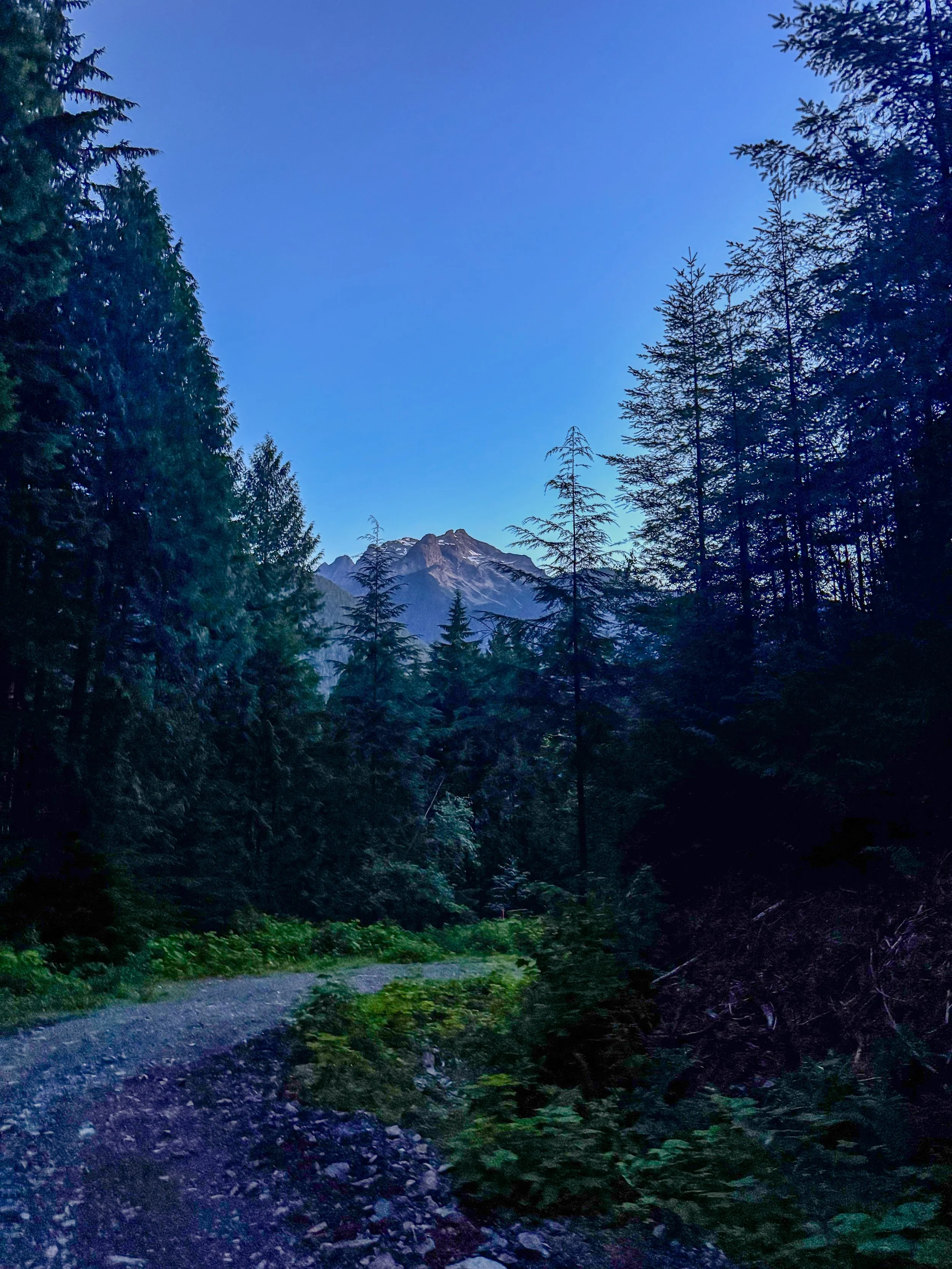
Robie Reid from the road
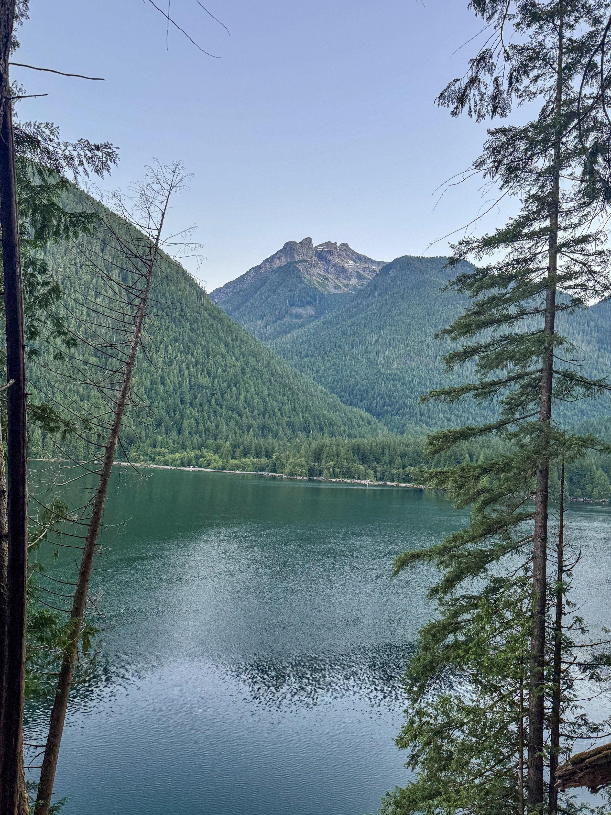
Alouette Lake and Robie Reid
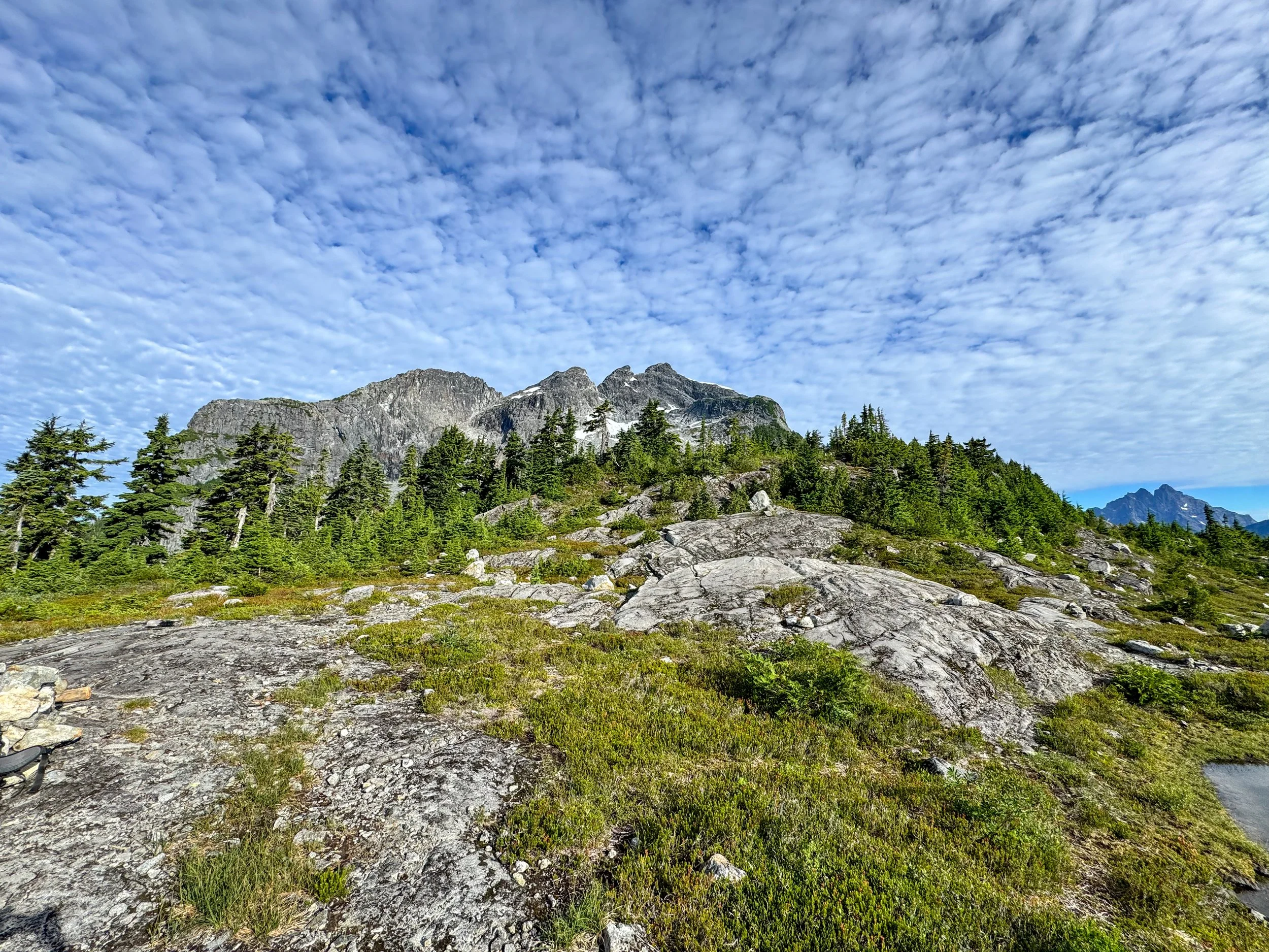
Robie Reid from the tarns
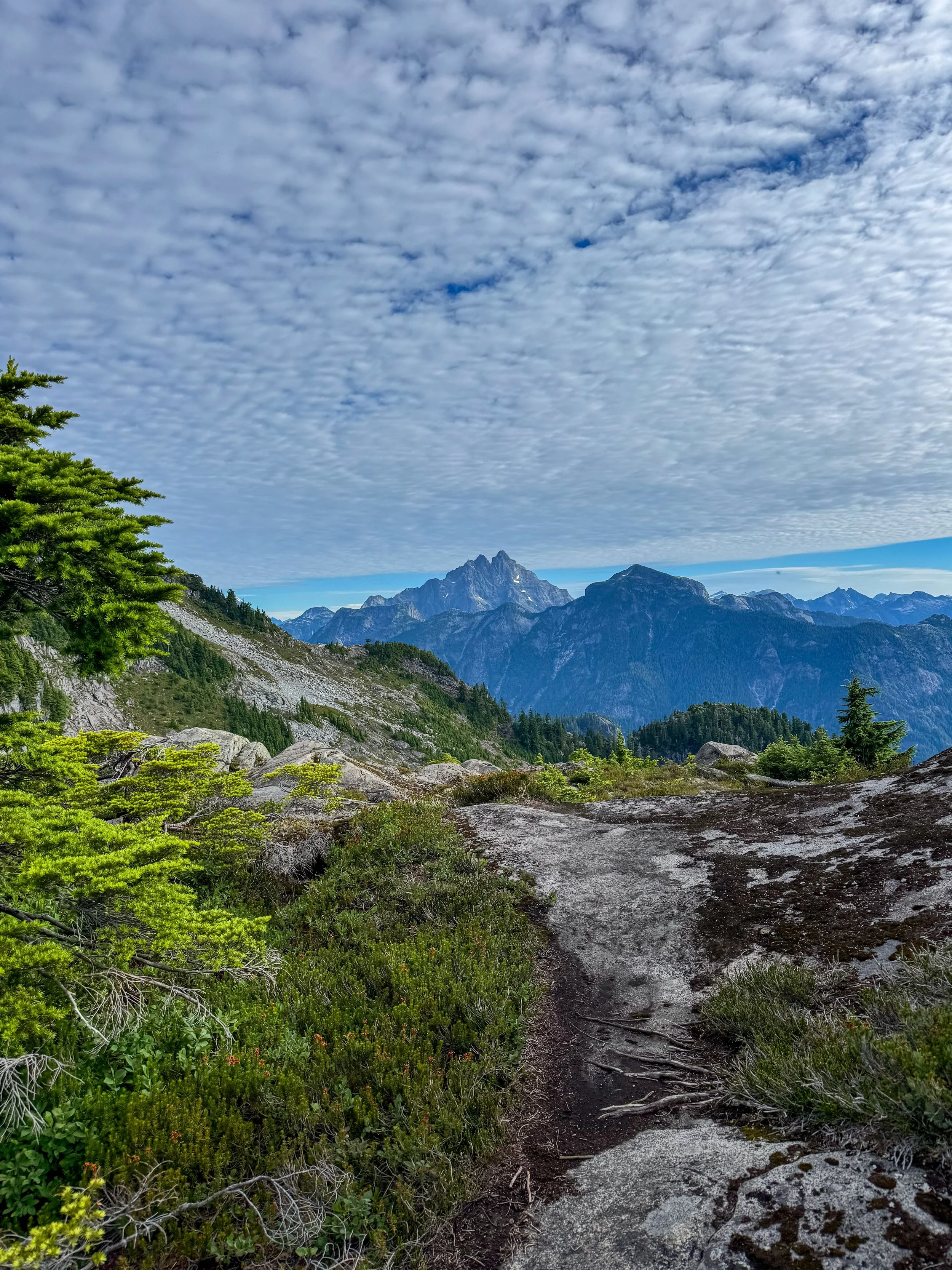
The Judge
From the tarns I dropped a few hundred feet before ascending a long section of slabby rocks. Different creeks flowed through this section, acting as a great running water source. At this point the views opened up behind me as the entirety of Southern BC appeared below me. At around 5,600 I crossed 2 easy snow patches before getting one of the lower walls of Robbie Reid. You really want to make sure you're starting on route, so definitely check your GPS here. Once on the wall, I did some fun class 2+ scrambling as I ascended some slabby, grippy rock. At around 6,000' I hit a notch and headed up a chimney. 2 Ropes lay here, and it's common for people to rappel this section. The 2nd rope section was tough as I squeezed through a tight, slippery notch. Once past the ropes, the grade lessened as I ascended more class 2+ terrain up to a ridgeline at 6,300'. From the ridgeline, the false summit and weather tower came into view. From here, I traversed a narrow rock shelf with some serious exposure before ascending the first of the 3 summits. I descended and ascended the "False Summit". The true summit of Robie Reid lay next. I descended off the false summit and crossed a bridge of rocks to its base. The beginning of the scramble called for some class 4 moves as I squeezed along a narrow ledge; once past it was basic scrambling to the summit. Robbie Reid has a nice flat summit which is perfect for taking in the expansive views. All of lower SWBC was visible from peaks of Golden Ears Provincial Park to the Garibaldi, and Tantalus Ranges.
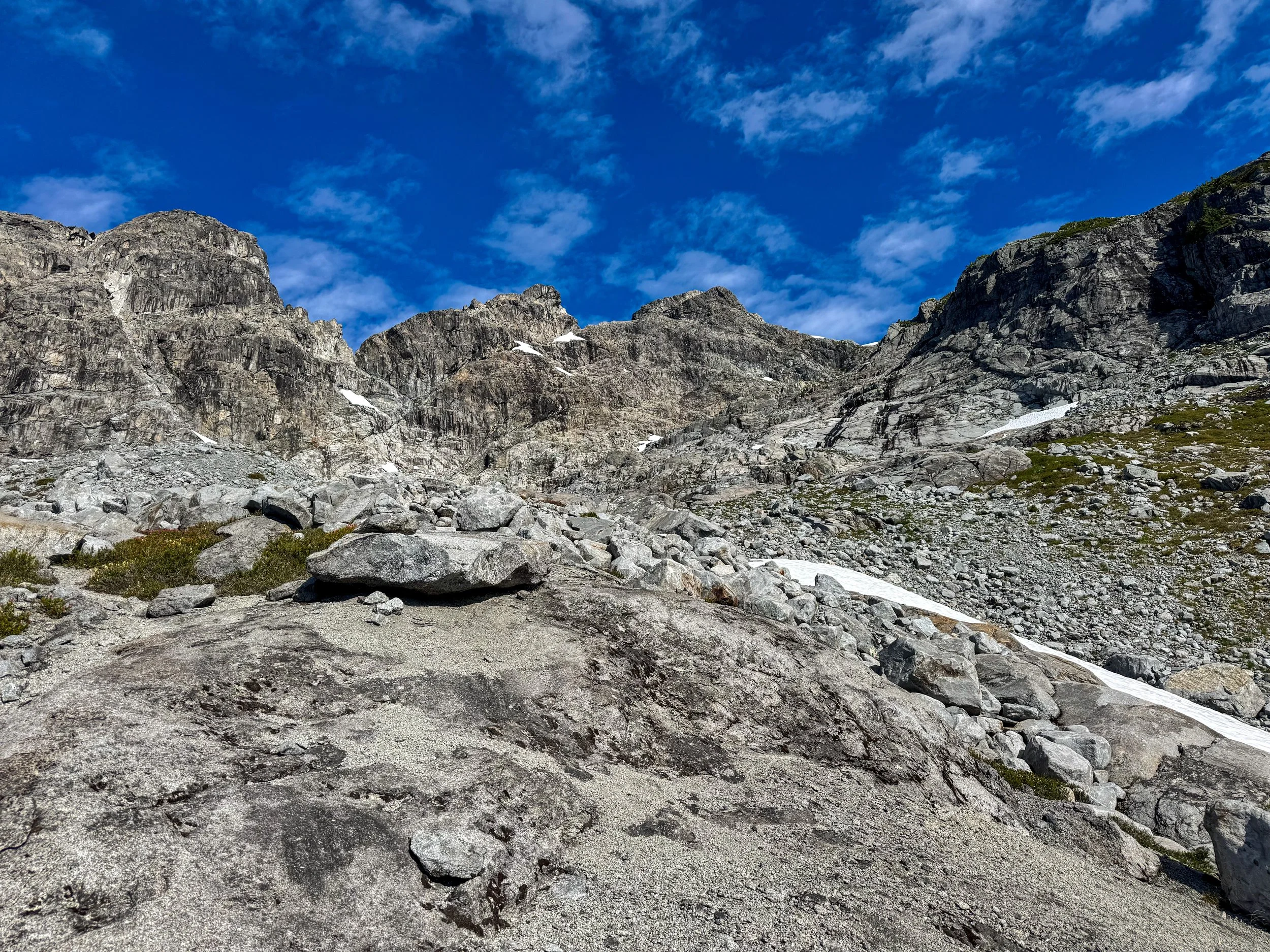
The massive summit block
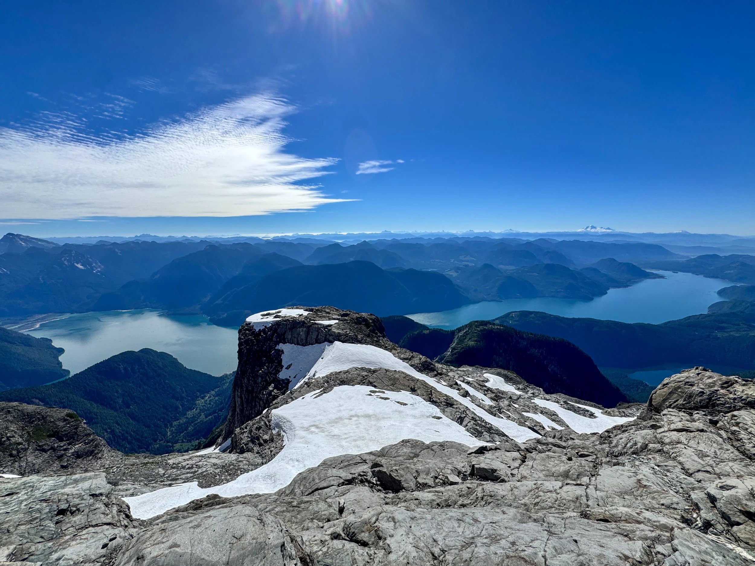
I mean…..
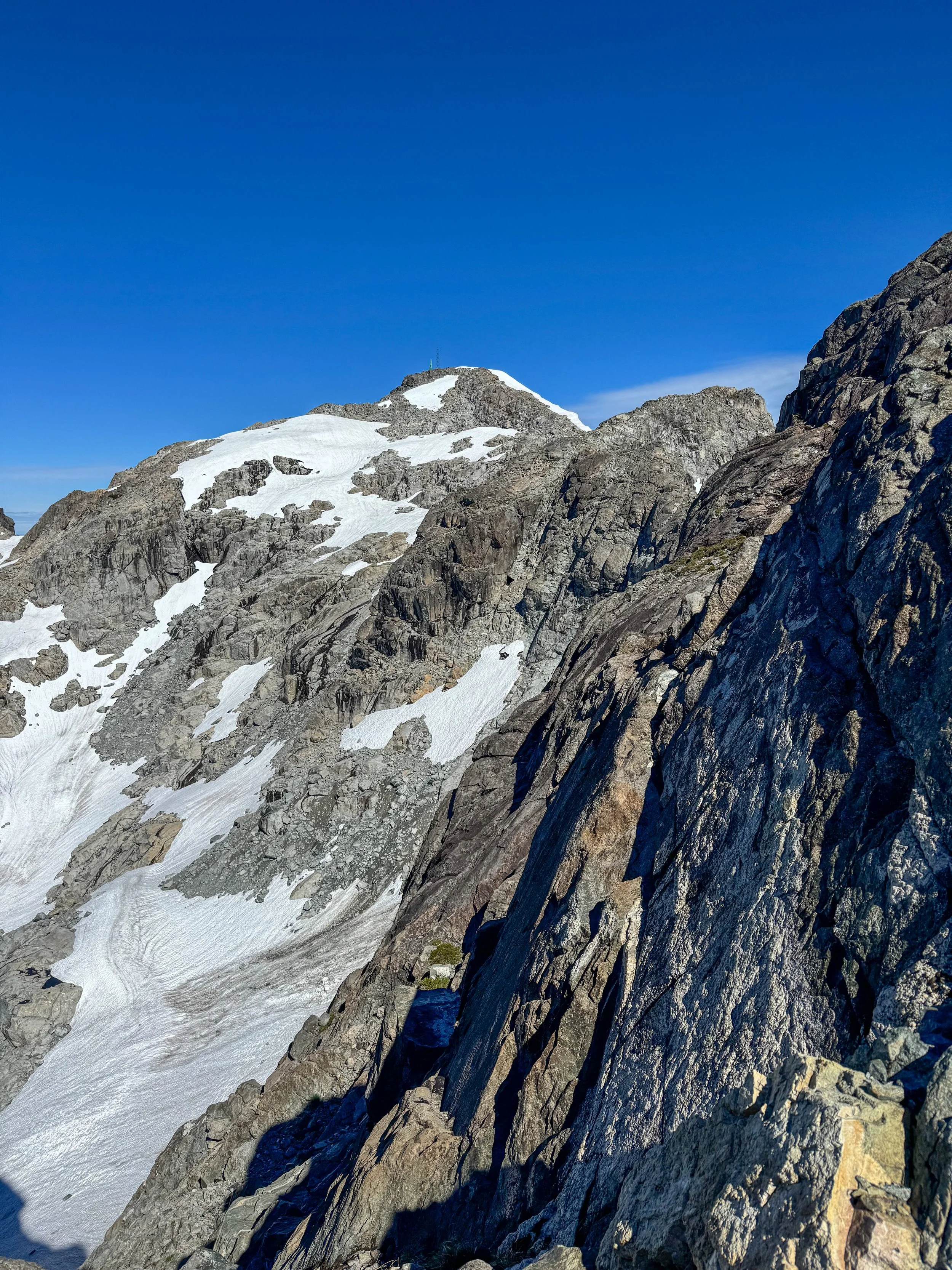
False summit
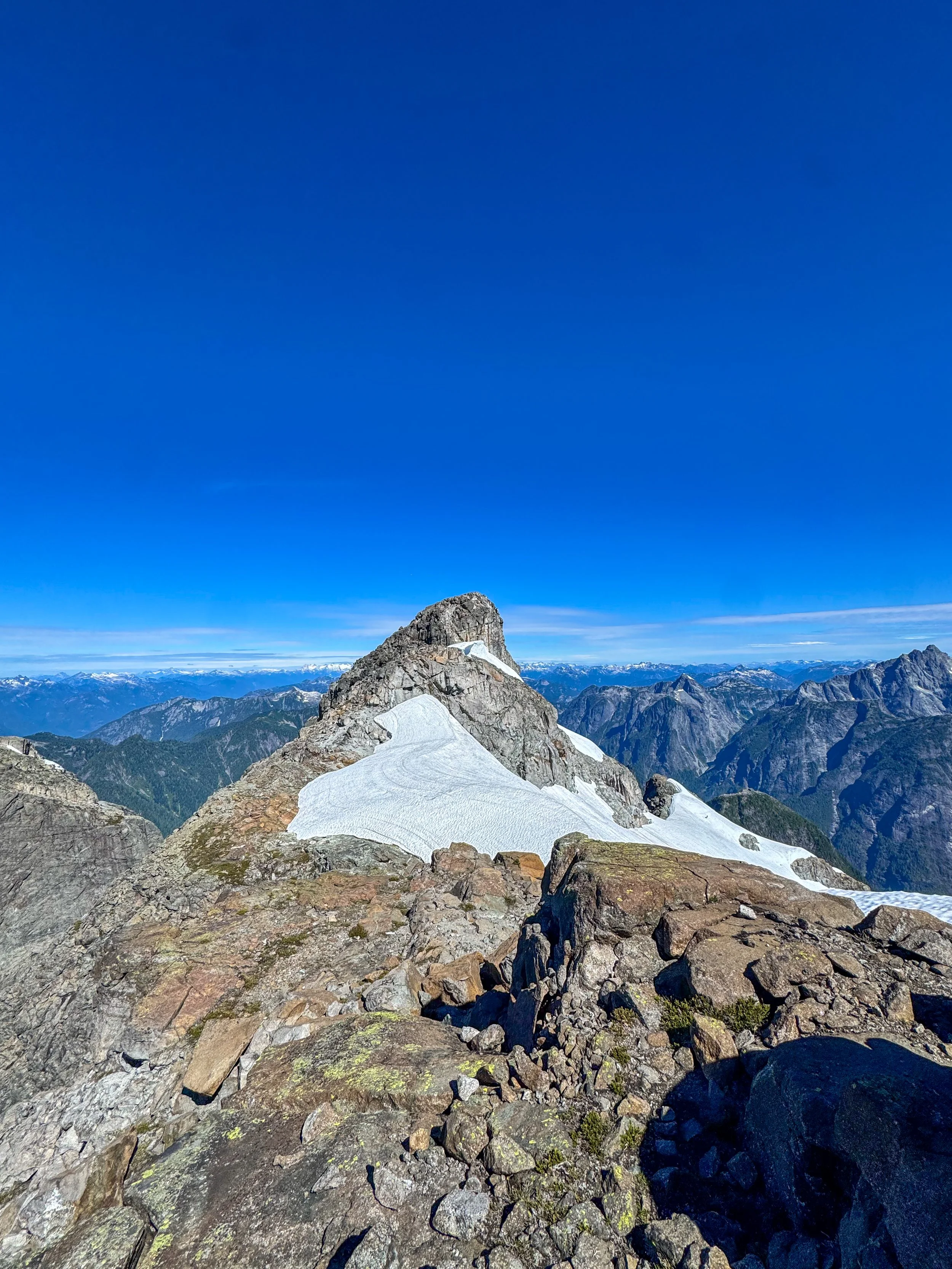
True summit
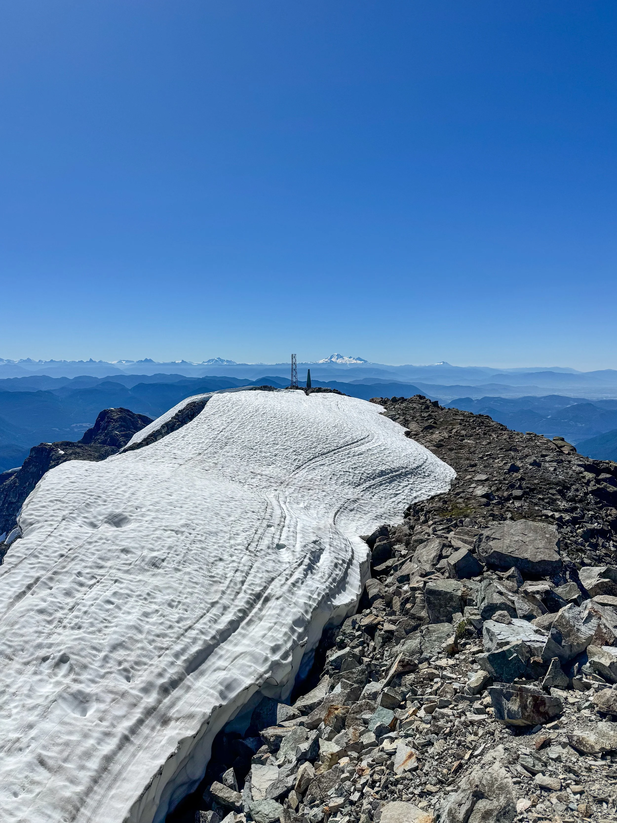
Looking back on the false summit
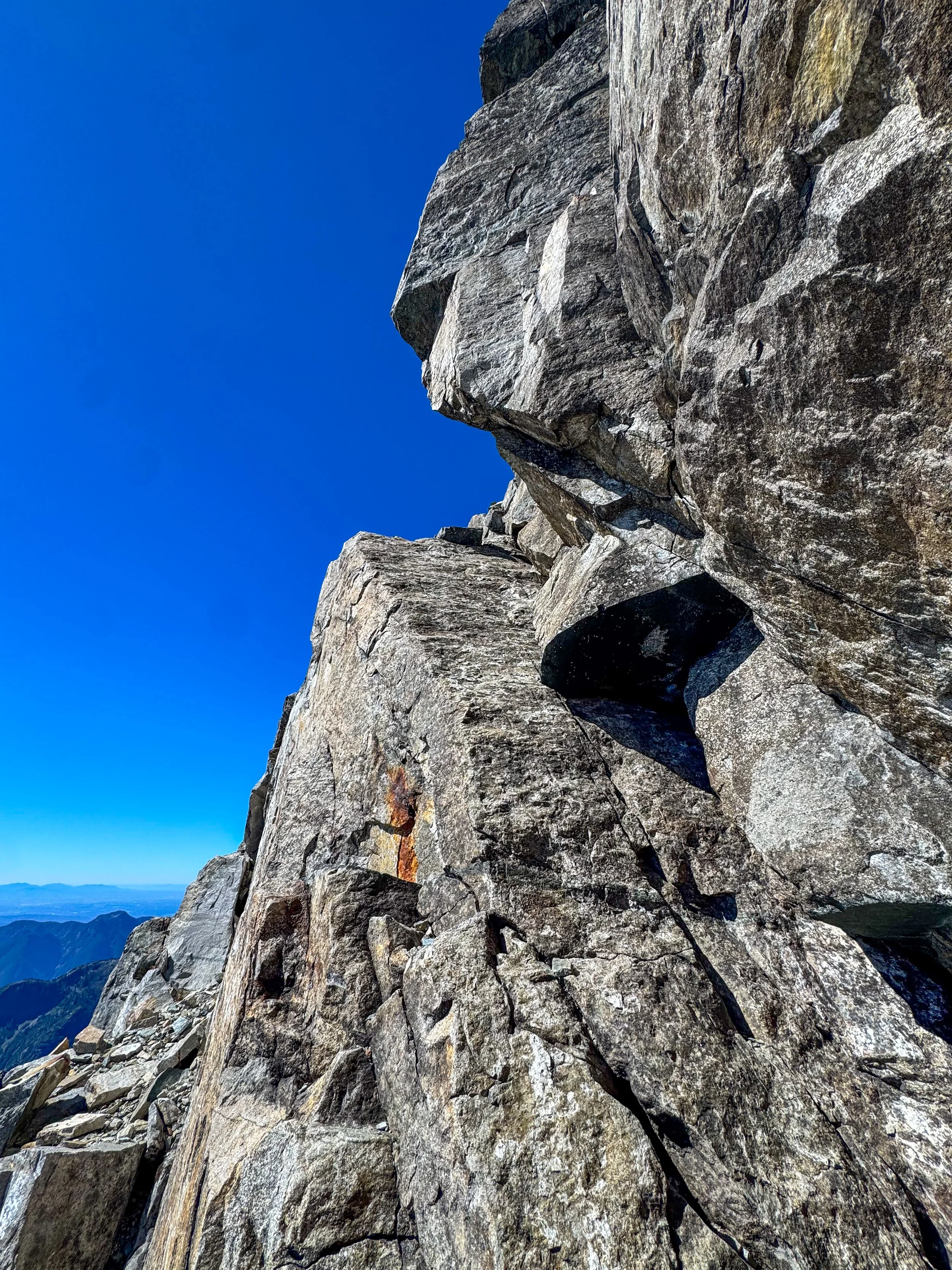
Class 4 section on the summit block
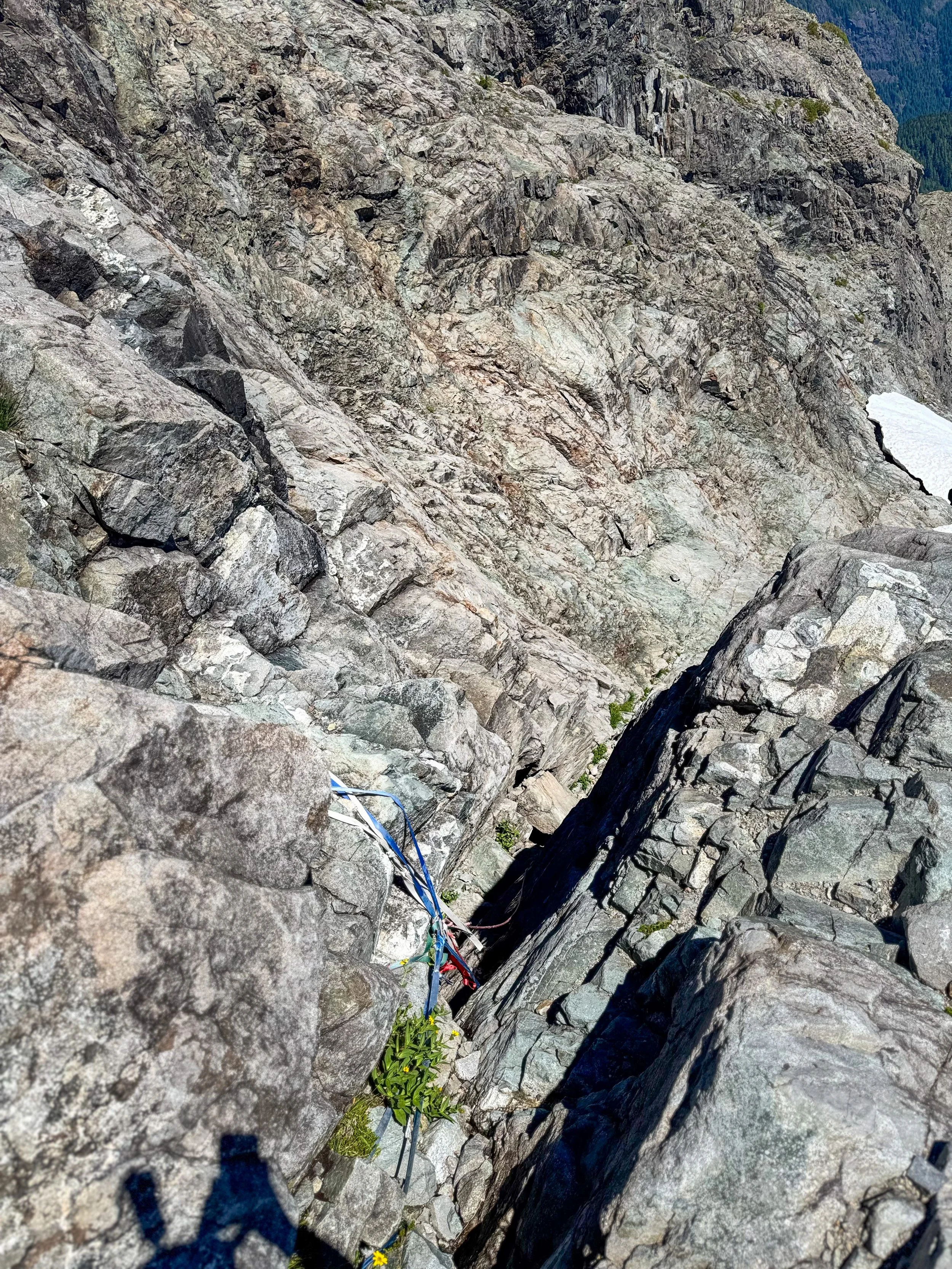
Rope section
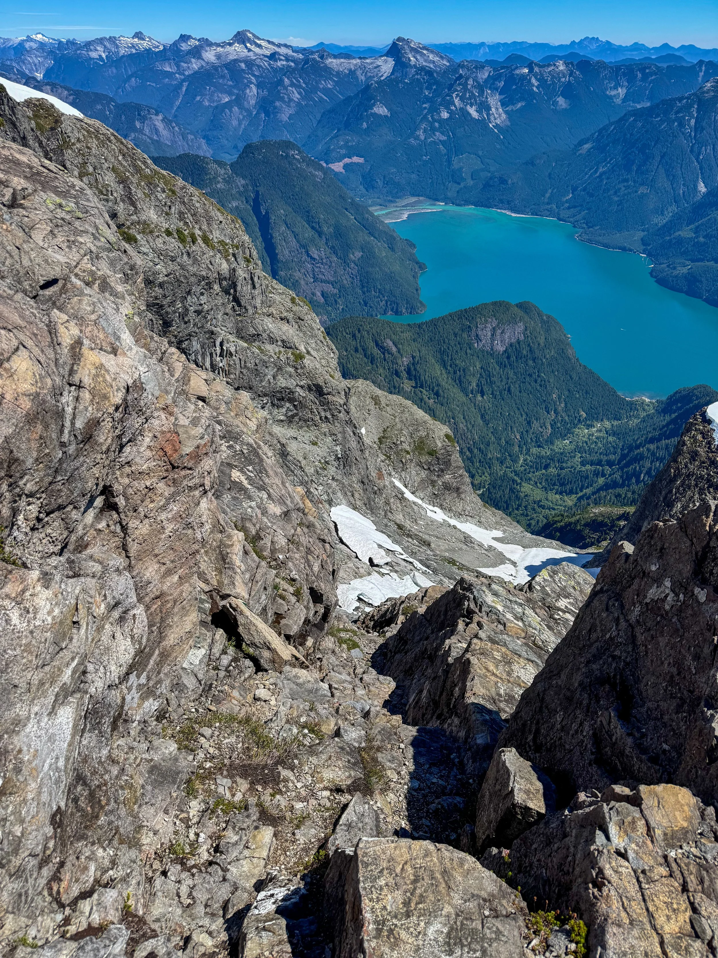
A tad bit of exposure
The descent didn't give me any issues, as I was quite careful. The only tricky section came at descending the rope sections. Having to lower myself into the slick, tight cracks while simultaneously grabbing the rope was a bit nerve-racking. Once back on the slabs, I ditched my helmet, and it was a simple long hike back to the car.
