North Gardner Mountain
May 31st, 2023
Hi, we are the Mountain Goats and today I climbed North Gardner Mountain.
We had found out from a friend that the route was snow-free and decided this was the perfect hike for the long weekend. We left Seattle around 7:15 Sunday morning and after eating at Winthrop we hit the trailhead around 12:30. We chose the Wolf Creek route, and planned on camping in the Gardner Meadows, which was 10 miles away. The trail to the meadows wasn't too bad, as we snaked through the valley, slowly gaining elevation (2700 feet in 10 miles to be exact). The worst part was the up and down, which was constant throughout the hike up to camp. Luckily, the scenery was stunning as the burned forest and the colorful underbrush created a dystopian contrast. Around 8 miles in the trail gets hard to follow in some spots and the route finding can become tricky. But even with all that we were able to make solid time getting to the campsite in around 5 hours. The meadows had a few groups, but we found a nice spot near Wolf Creek.
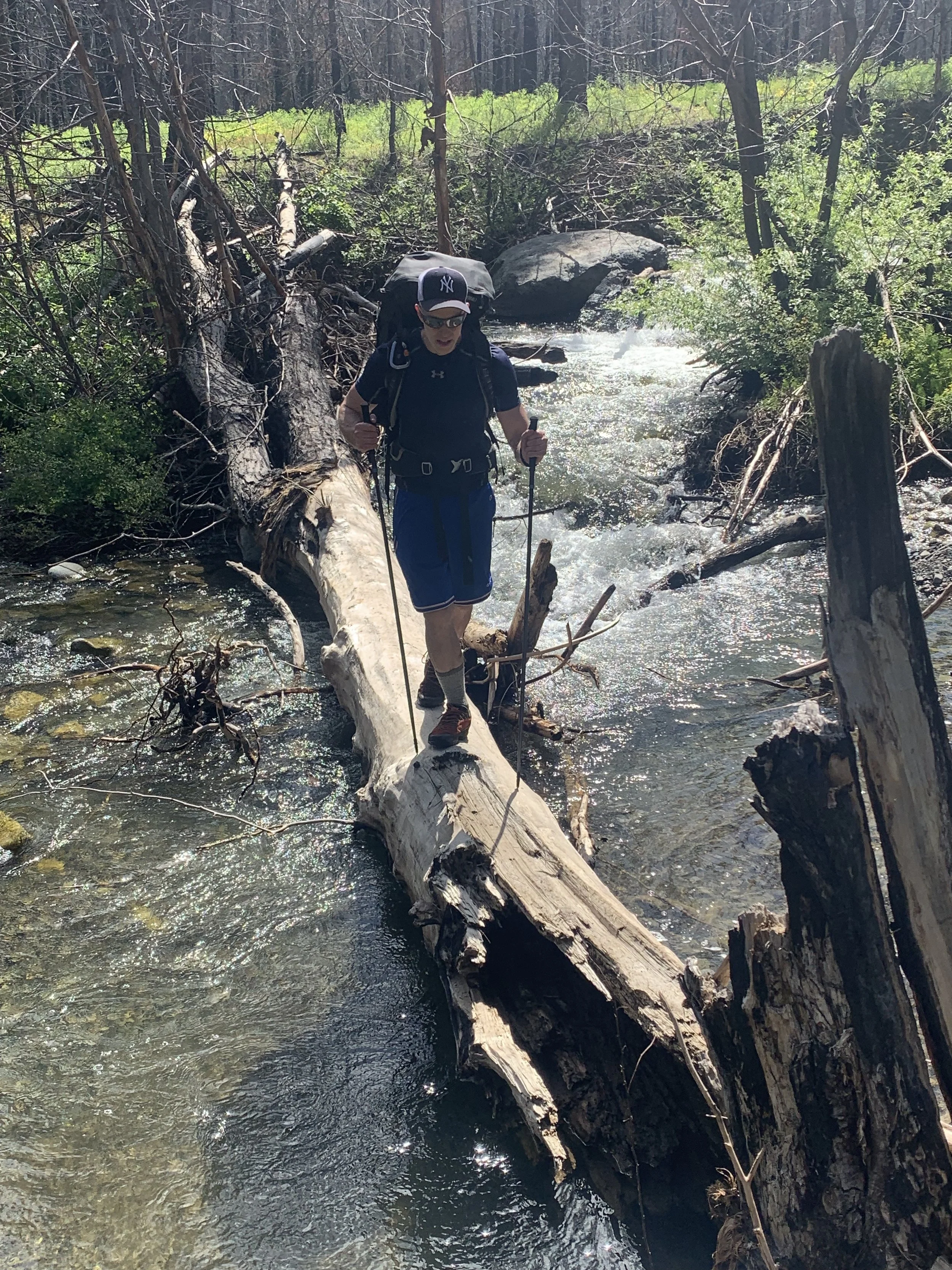
Creek Crossing
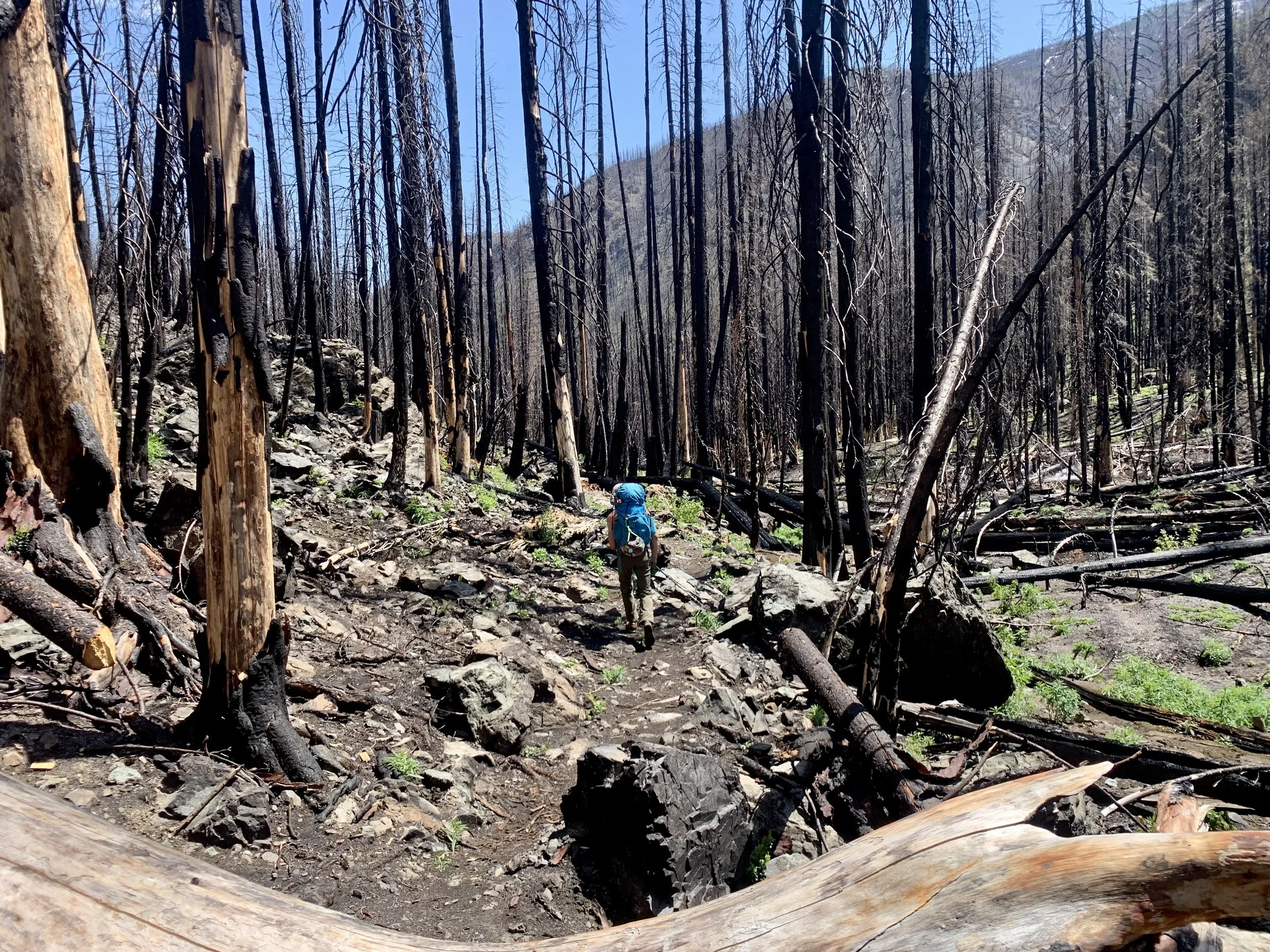
Through the burn zone
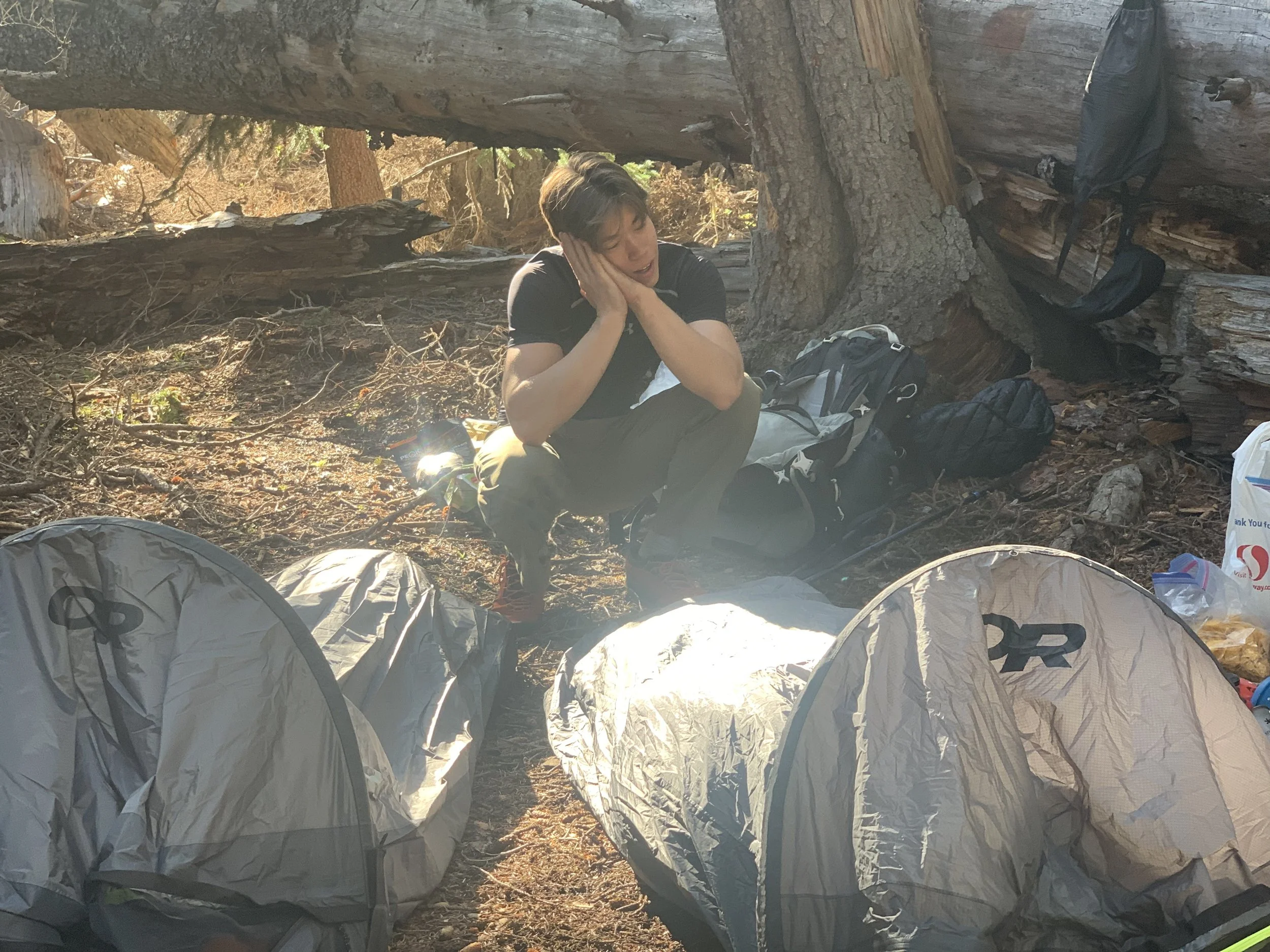
Camp spot
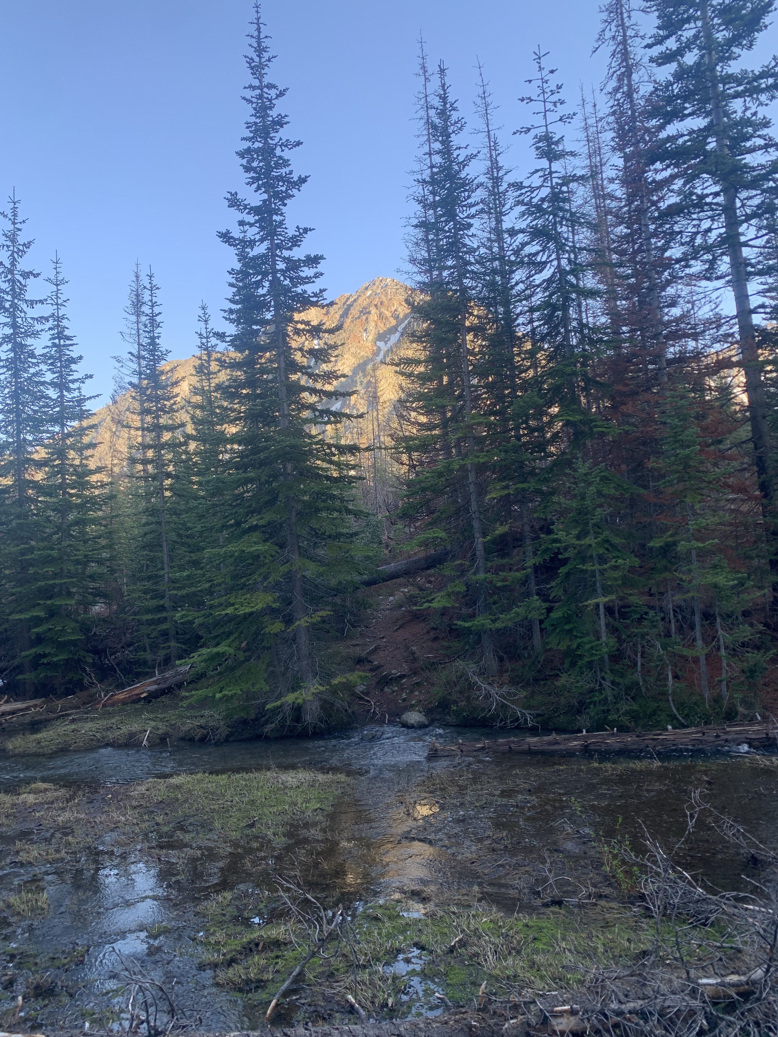
Wolf Creek
Even though we went to sleep around 7 PM, neither one of us slept well, and after tossing and turning for a bit we decided to just bite the bullet and got up around 4:45. There isn't really a trail up to North Gardner, but we knew we had to get up to point 8450, which was at a 45-degree angle away from the meadows. The Route climbs through the meadows and the swamp and quickly gains 1000 feet to get you around 6700. This part of the trail is straightforward, but make sure not to go too high up, or too far left, just head toward point 8450 at a 45-degree angle. The next part of the trail is tricky as you have to get up a massive creek and into the basin underneath the Gardner's. To the left, there's a large snowfield, but with the amount of running water going underneath it, we decided against going on it. We ended up going in between the different forks of the creek, which wasn't too bad until the top, where I ended up traversing a 30-foot icefield. Since we didn't pack any snow gear and I was in my trail runners I wouldn't recommend doing this. On the way down we stayed to the right of the creek, this was much easier and is the way I would recommend going up and down.
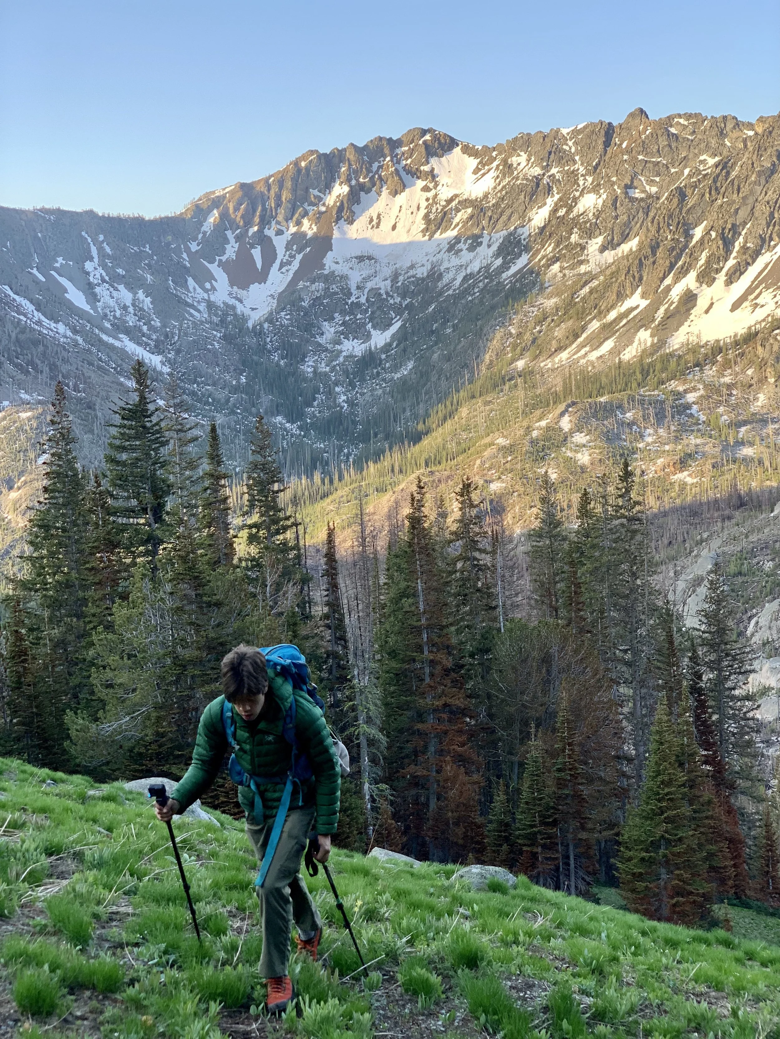
Up we go
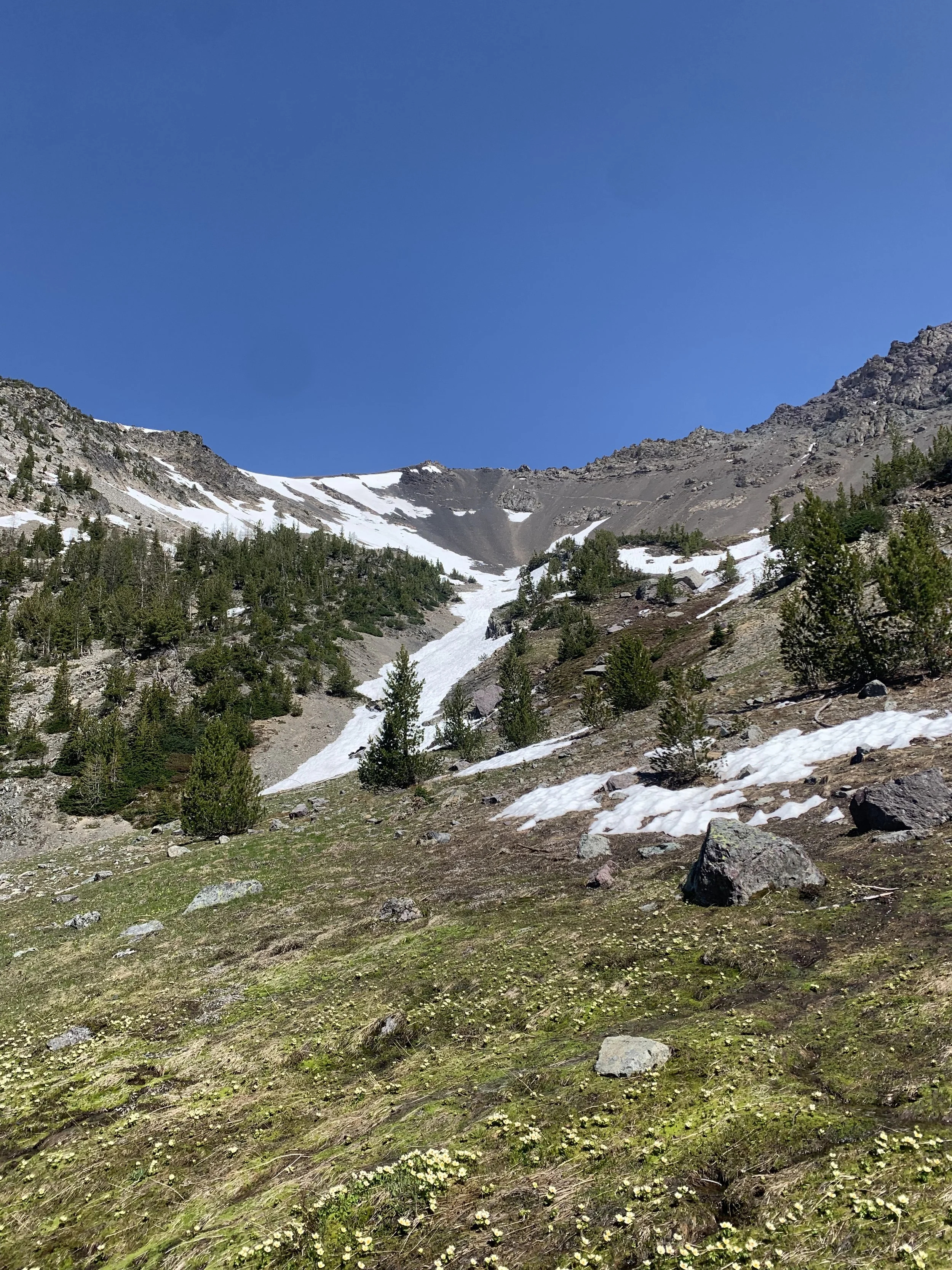
Upper Basin
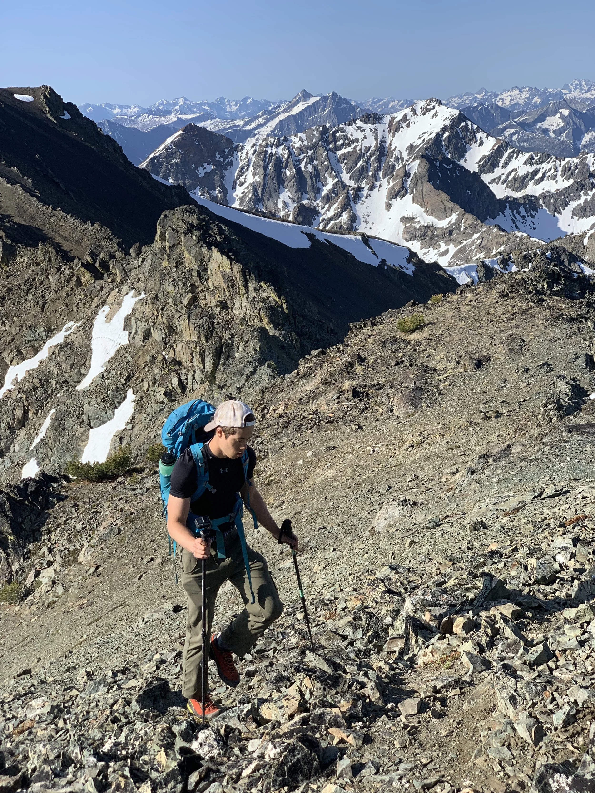
Heading up through the scree
Once you get to the basin, you have a direct view of point 8450 and the route up top which is printed on the scree. We walked crossed a snowfield and followed a faint trail in the scree that headed straight up towards the trail up top. After around 1000 vertical feet you hit the route up top that I previously talked about and begin traversing up to point 8450. This part of the trail is easy, and we had zero route finding problems. It took us around 2 hours and 30 minutes to get to point 8450 from our campsite. From Point 8450 you finally get views of North Gardner and the ridgeline leading up to it. This part of the trail is tricky and it's easy to get off the trail which can be dangerous. Once you hit Point 8450 and begin climbing the ridge stay left! You're going to hit a rock formation immediately and it's important to stay left, as going right makes you go through more exposed terrain. After this part, the trail is straightforward, following the ridge and occasionally going to the right or left of rock formations. Overall, the ridgeline isn't too bad, and we never felt unsafe enough to put on our helmets. It took us approximately 45 Minutes to summit from point 8450.
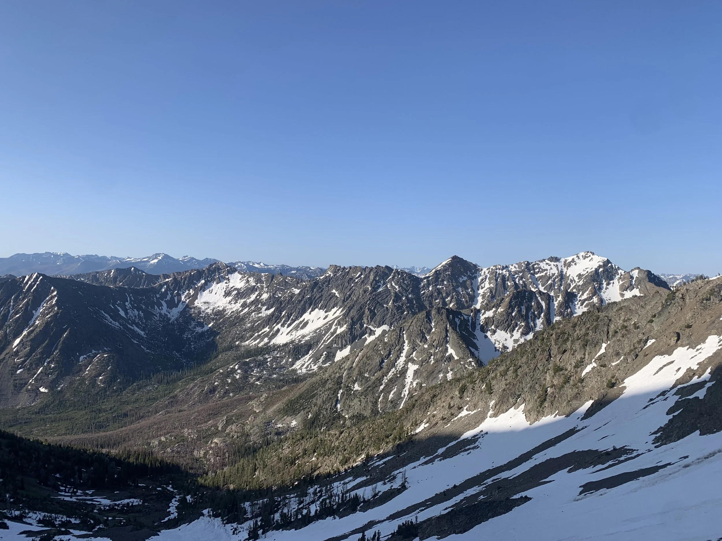
Views getting better and better
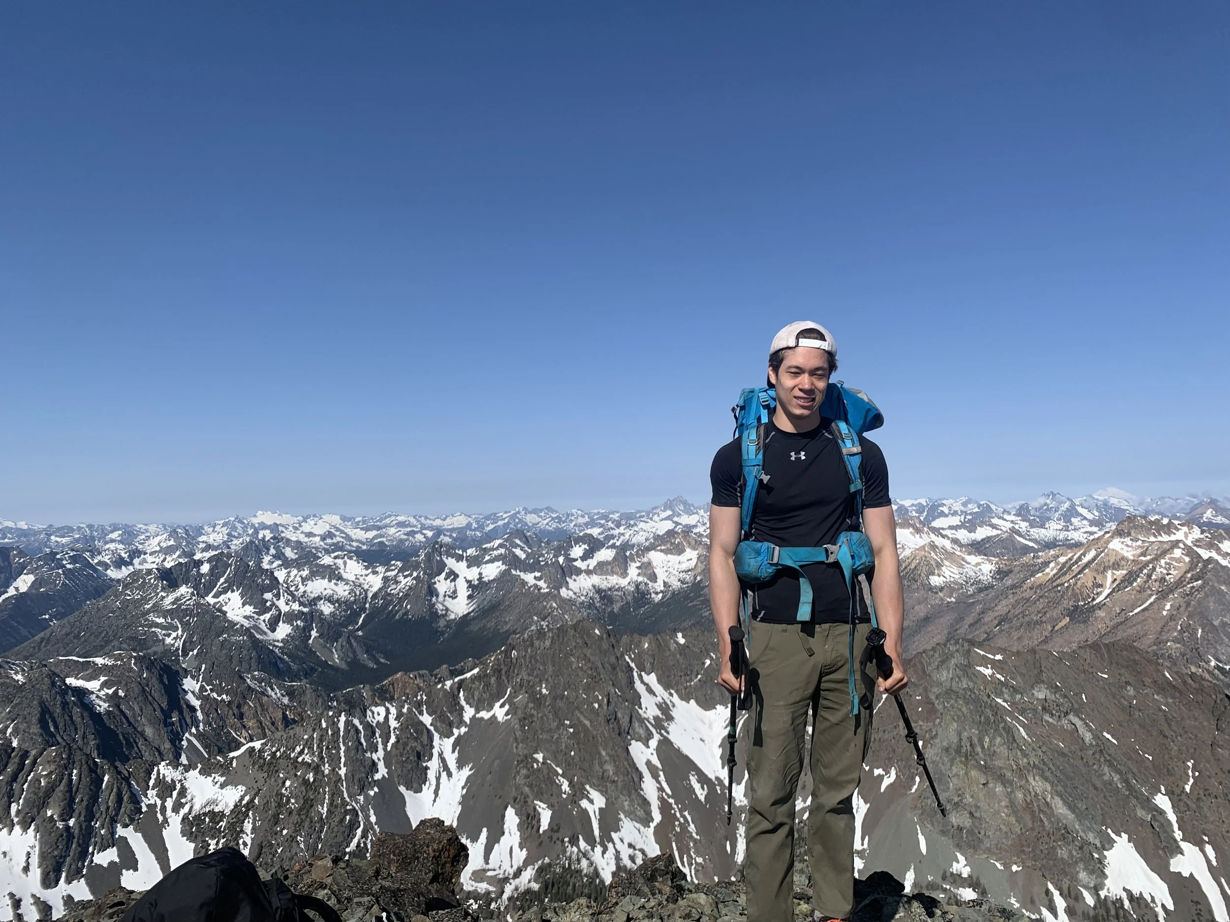
Summit Shot
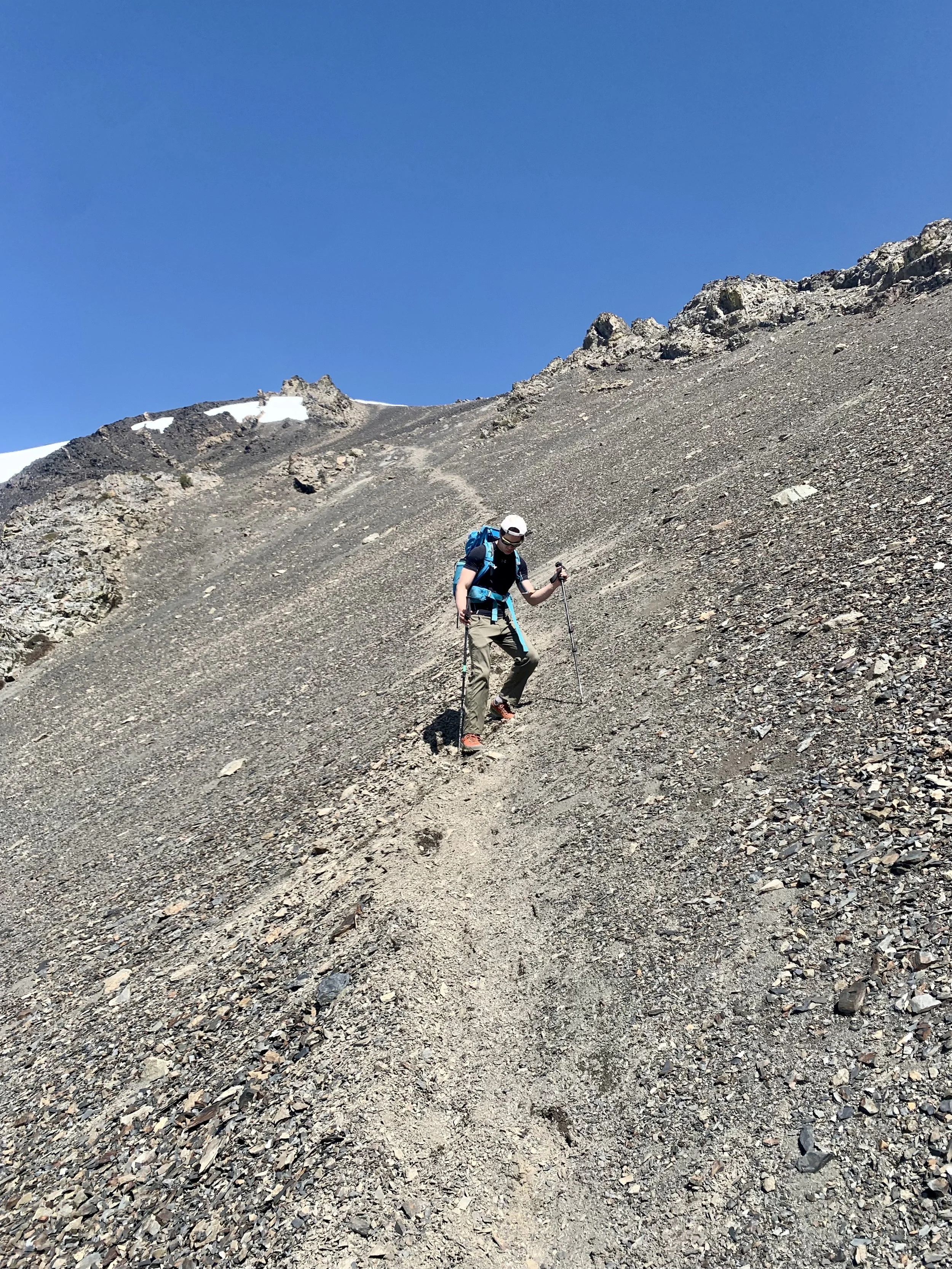
Always fun descending scree
The views from the top are absolutely stunning, with views of Baker, Glacier and the other North Cascadian behemoths. You're also east enough to get views into the eastern hills. The hike down to point 8450 was easy as we didn't make the same mistakes as we did on the way up. At this point it was 10AM and we made the decision to just head down instead of traversing over to Gardner Mountain. For reference Gardner would've probably added on 1 hour and a half to our trip. The descent from Point 8450 was a breeze as we were able to fly down the scree and didn't have any problems down low by the creek as we stayed right. Overall, it took us 1:45 to get from the summit to our campsite. After eating and filtering water we left camp around 12:15 and made it to the trailhead at 4:30 making our decent time 4 Hours and 15 Minutes. The up and down were rough, especially the one at the end where we had to gain 250 vertical feet.
Overall, this is a great overnight hike (2 nights is too much unless you really want to relax) and the mountain you can climb in just your trail runners! If you're looking for a good non-technical climb this is the mountain for you, just prepare to walk 25 miles in 2 days. Happy Hiking!
Final Stats: 25 Miles- 6'450' Ascent- 15:20 Moving time- 8'956' High Point (highest point in Okanogan County).
From Camp to Summit Back to Camp: 5 Miles- 3800 Ascent, 6:15 Total Time
