Remmel Mountain WA
7/2-7/4 2026
Day 1: Remmel Mountain in WA is the 14th-most-prominent peak in Washington and the last major mountain heading east. Located in the heart of the Pasayten Wilderness, there is no short way to Remmel’s summit, as both routes are 25+ miles. With the weather looking iffy up in SW BC, I pivoted from my original plan of Silvertip and Hozomeen and drove across Highway 20 to Winthrop before taking the Chewuch River Road north. To my surprise, I ended up at Thirty Mile Trailhead instead of Chewuch Trailhead (the shorter of the two routes). This was confusing, since they entered the exact coordinates of the Chewuch Trailhead, so I'm not quite sure what Apple Maps was thinking. At this point, it was already 5:10 pm, so there was no time to complain as I had over 8 miles to the campground. It seemed like the rain had followed me east as a light drizzle rained down upon me as I trudged up the trail.
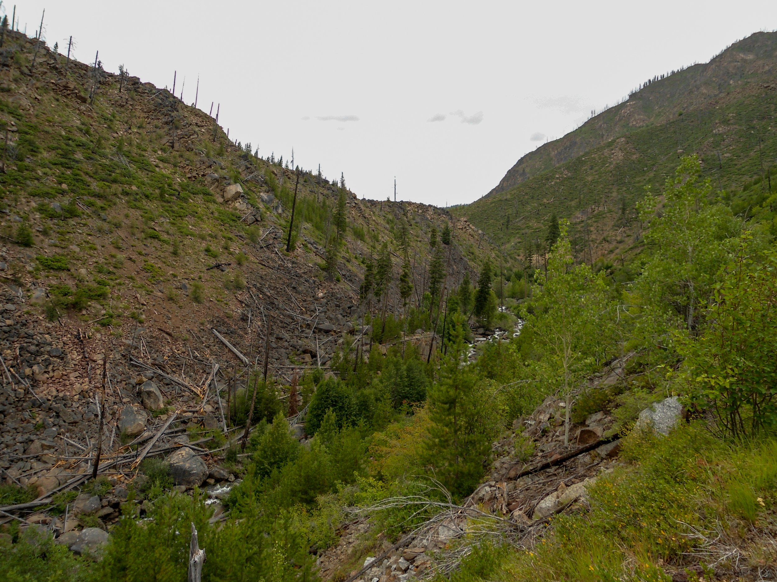
Following the Chewuch River up
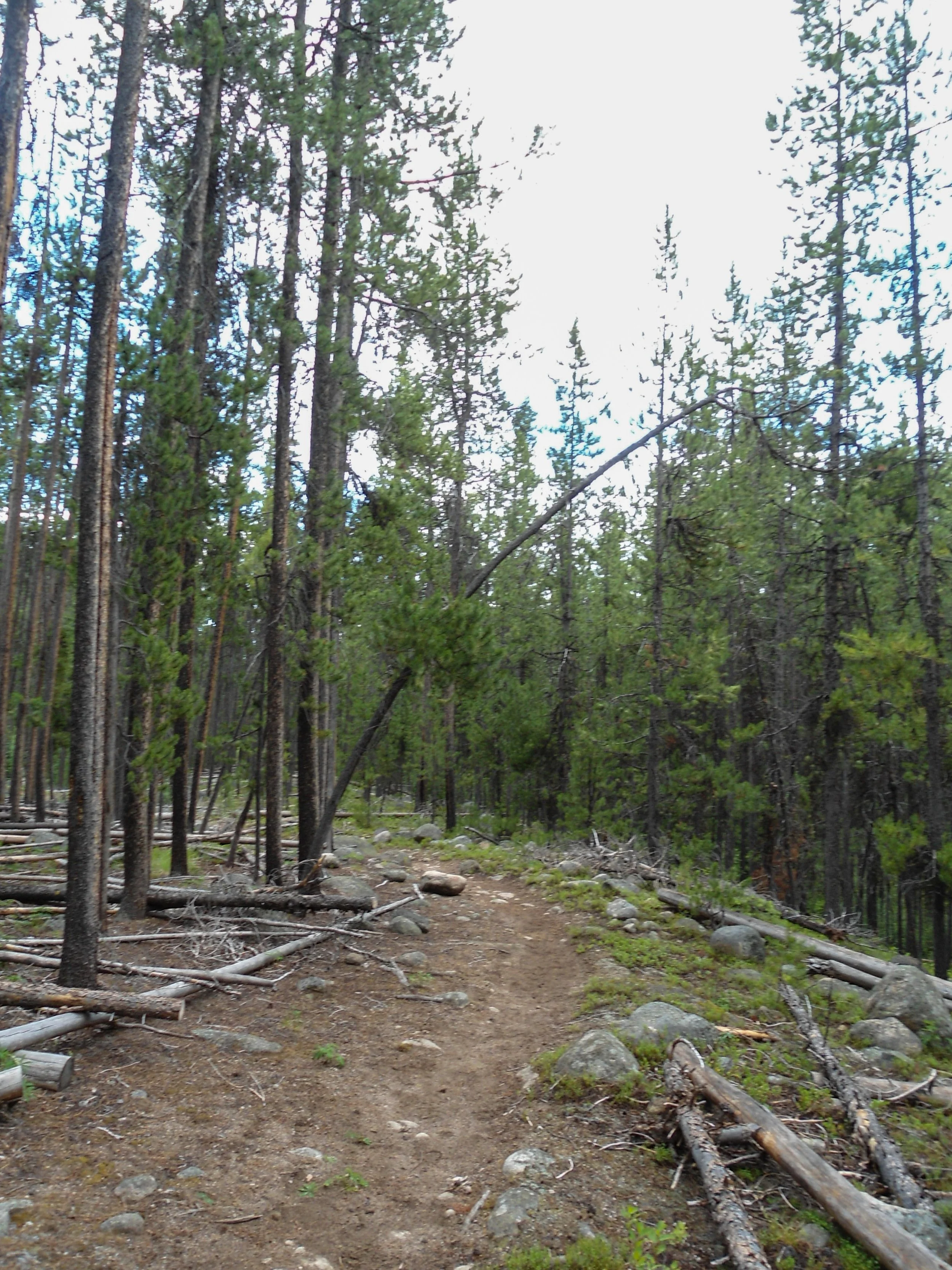
Approaching the campsite
The approach is a gentle ascent through a meadowy valley, following the Chewuch River the whole way. Only 15 minutes in, and I saw an Elk gliding through the meadows, only 50 feet to my left. Majestic. Things soon got wet, as the trail became overgrown. For the 3rd time in a row, the lower half of my body got completely soaked within the first mile. Just under three miles in, I got a glimpse of the majestic Chewuch Falls. As I continued, the terrain morphed from flowery meadows to sparse forests to dwarf new-growth forests. Around halfway, the weather began to improve as the rain stopped. Blue skies peeked out in the distance. This improved my morale as I hustled to the campground, getting there just before 8pm, 2:50 after leaving. After doing basic camp stuff, setting up my tent, making and eating my food, and organizing my gear, I watched the sunset while writing. The colors were stunning. As the sun set, the warmth of the day disappeared as I crawled into my dry tent to complete my writing before calling it a night.
Day 1 Stats: 8 Miles – 1,550’ Elev Gain
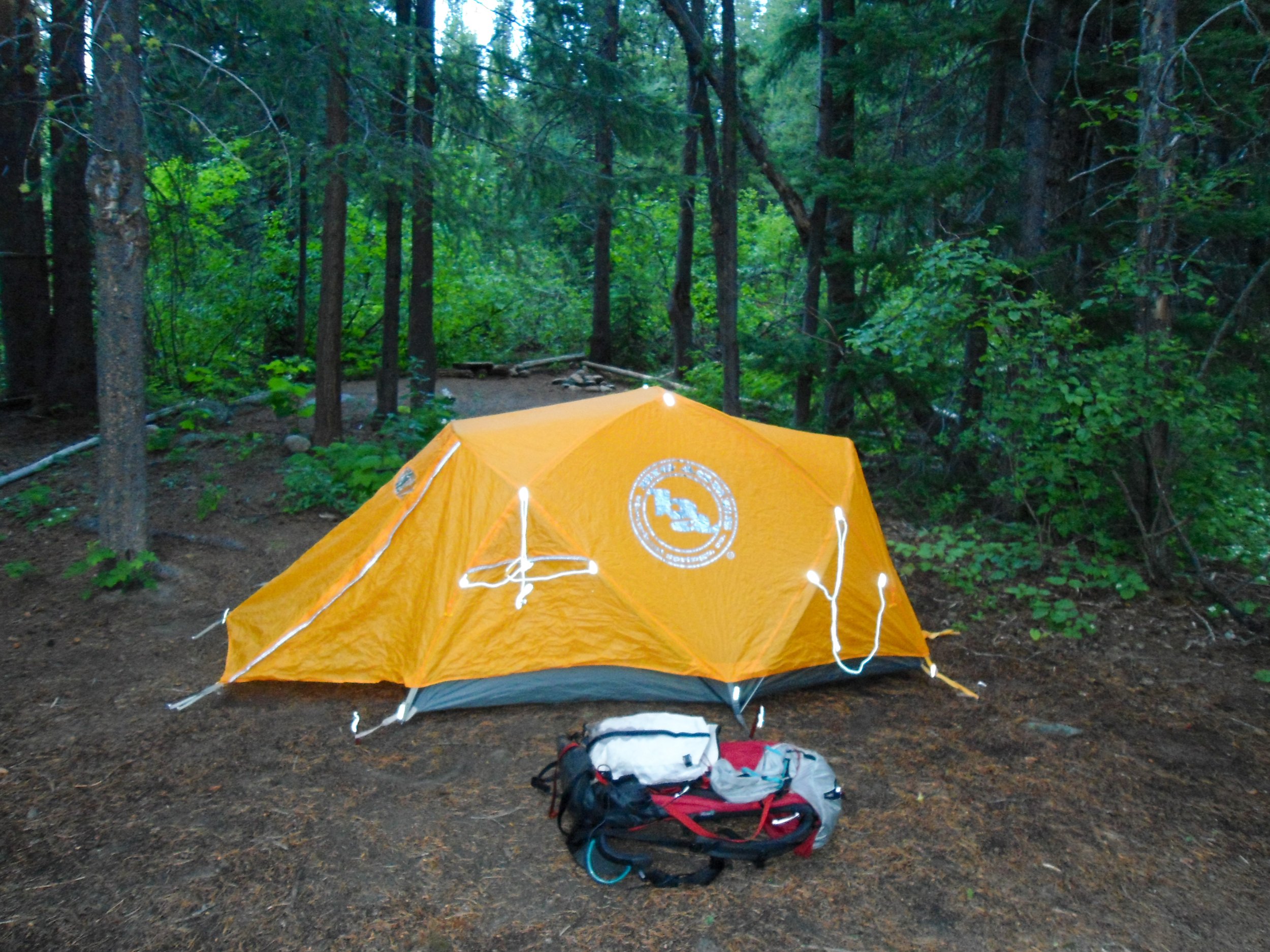
Set up
Take a Hike!!!
Day 2: I slept like a rock. After a slow morning, I put on my wet socks, put on my old shoes, and got on the trail just after 9am. The trail up to the 4-Point Lake/Chewuch Trail split was a bit dull as I walked 4 miles through valleys of dead trees affected by fires. While the previous section had been cleared of blowdowns, the sections passed the campground, 8 miles in, were not. So, blowdowns became constant as I gently ascended up to the trail split. From the split, I was greeted by the brief views of Remmel’s upper slopes before I plunged back into the woods, steeply ascending to 4-Point Lake. From the split, it was 2 miles and 1,600’ gain up to the lake as the blowdowns increased. Some sections had up to 20+ trees along the trail. This got old real quick. Remmel stayed hidden behind the trees.
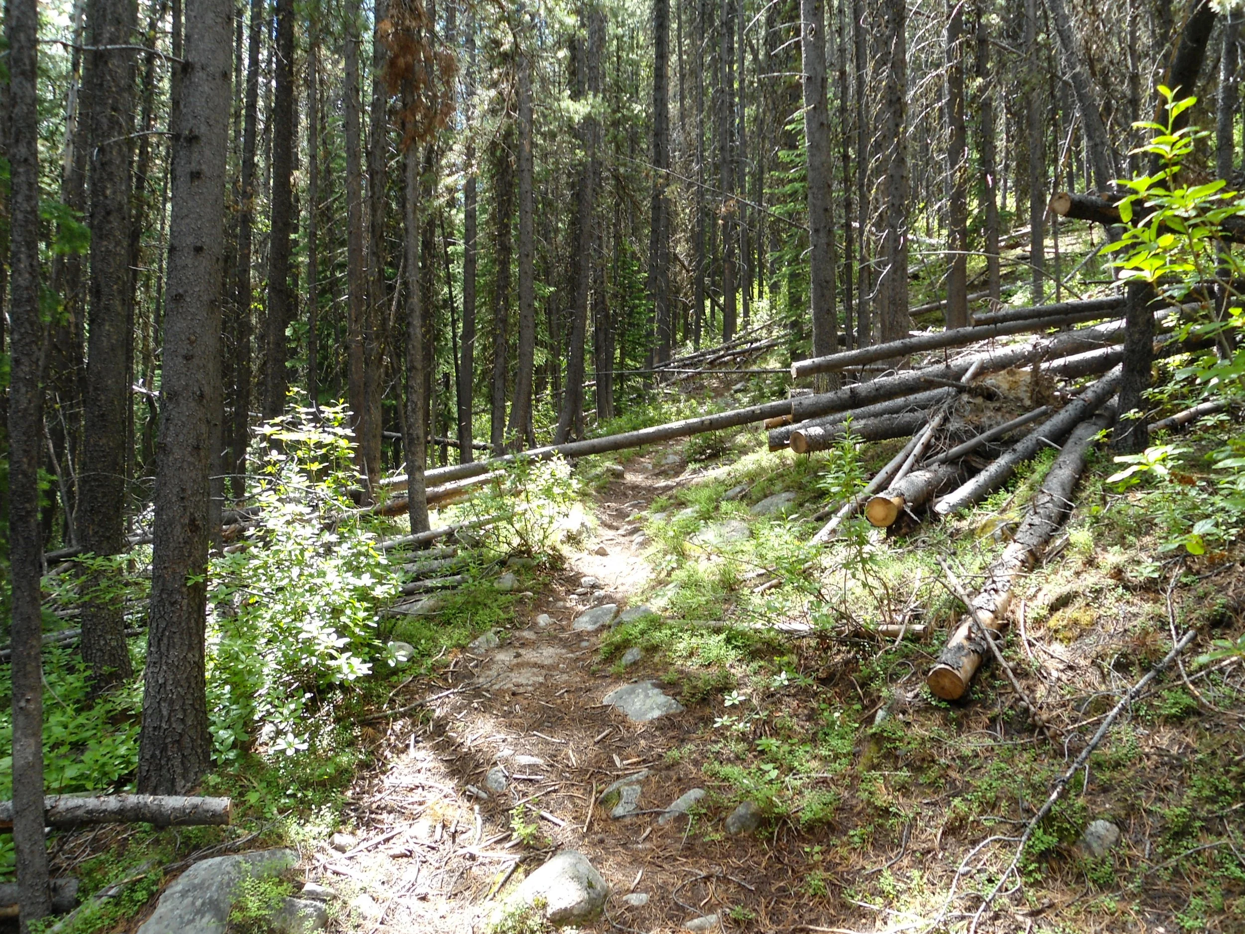
Lots of this
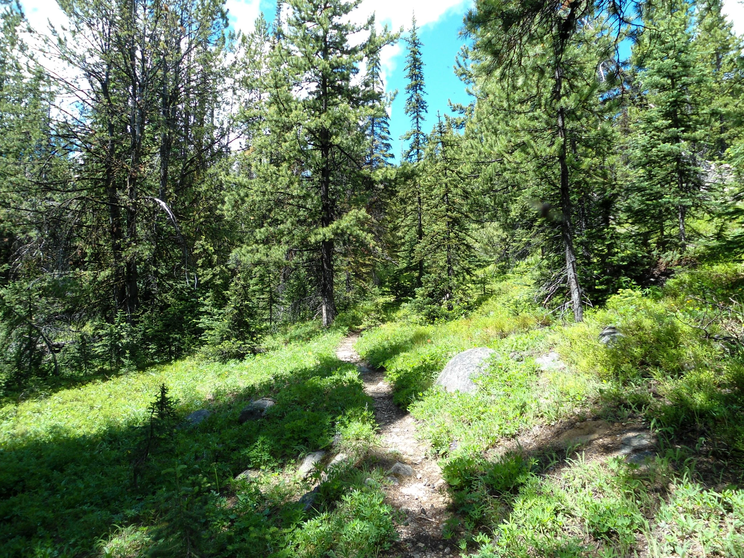
Getting up there
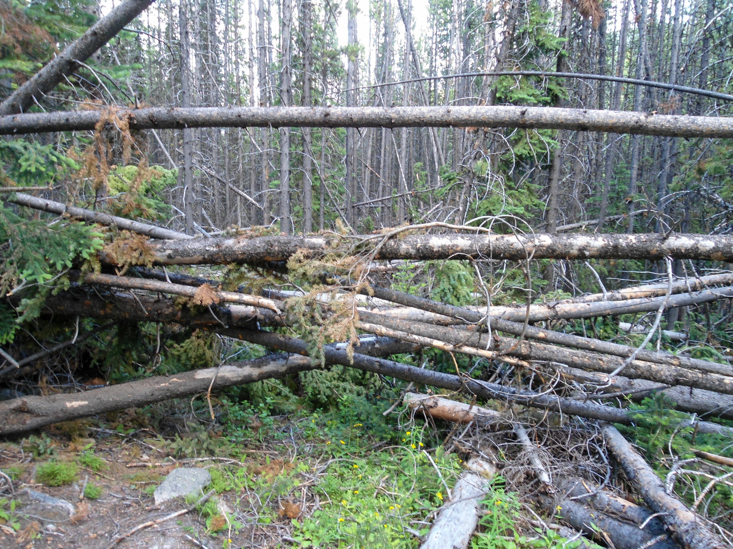
UH
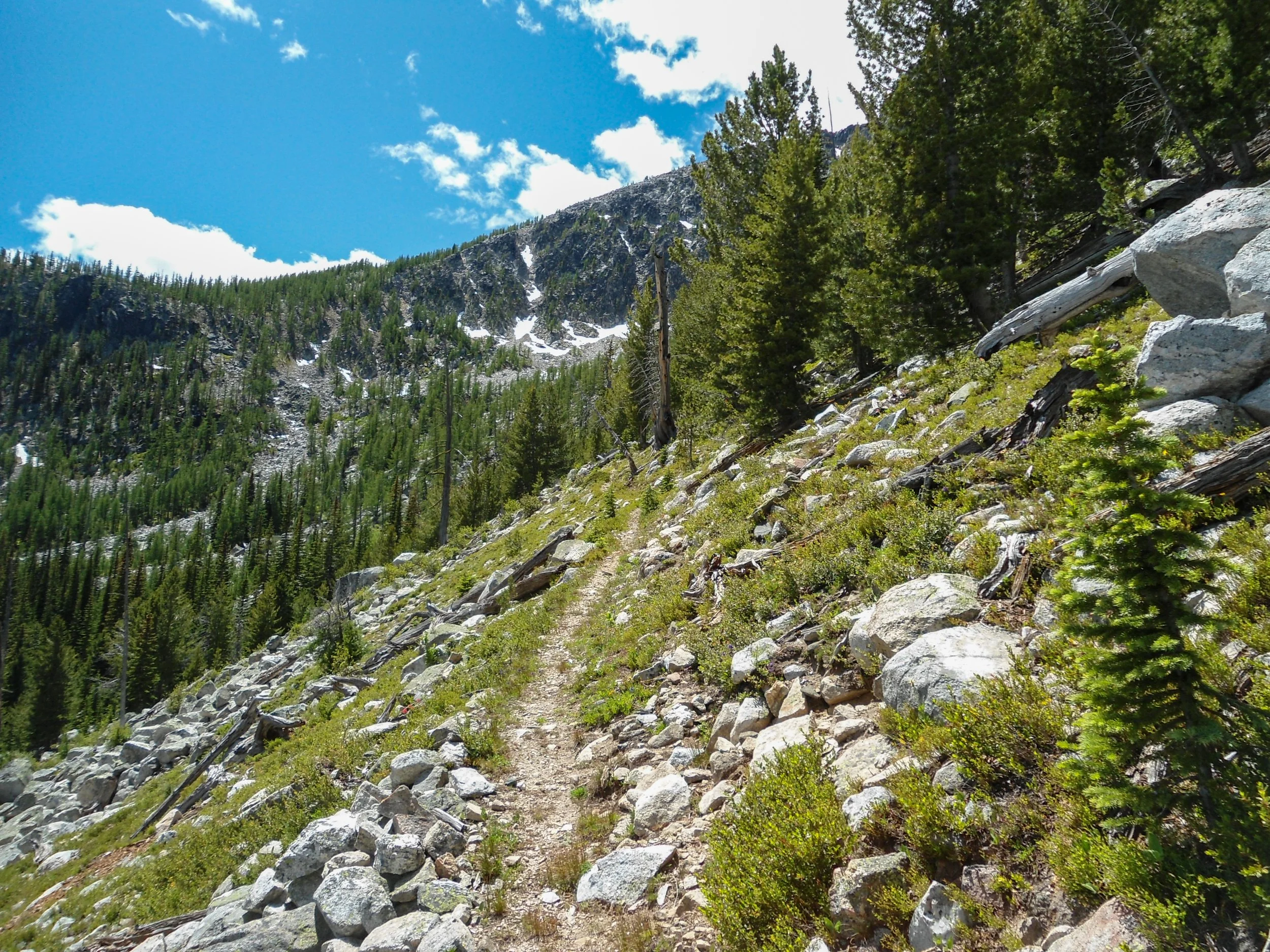
Approaching the cutoff
As I passed the 4-Point Lake cutoff, I finally left the trees behind as I headed southwest through the meadows, and views of faraway ridges and hills finally came into view. .5 miles after the cutoff, I reached an unnamed waterfall at 7,000’. This was one of the trip's highlights, as the water cascaded thousands of feet down into the valley below. Just before reaching the falls, the trail turned back and headed upwards through a series of switchbacks. At 7,100’ the trail straightened out as I ran parallel to the stream, which zigzagged through these beautiful, lush alpine meadows. This was my favorite part of the hike, and if I ever came back, I would spend a night up there. Above the meadows, I ran into the only snow section of the hike, a steep snow finger that I had to traverse; no gear was necessary. Once past, I left the lushness behind as I ascended the massive hill of boulders that is the summit block of the Remmel Mountains through another series of switchbacks. At 7,800’, I got off trail and elected to simply continue boulder-hopping until I hit the trail at 8,450’; from there, I followed it to the summit.
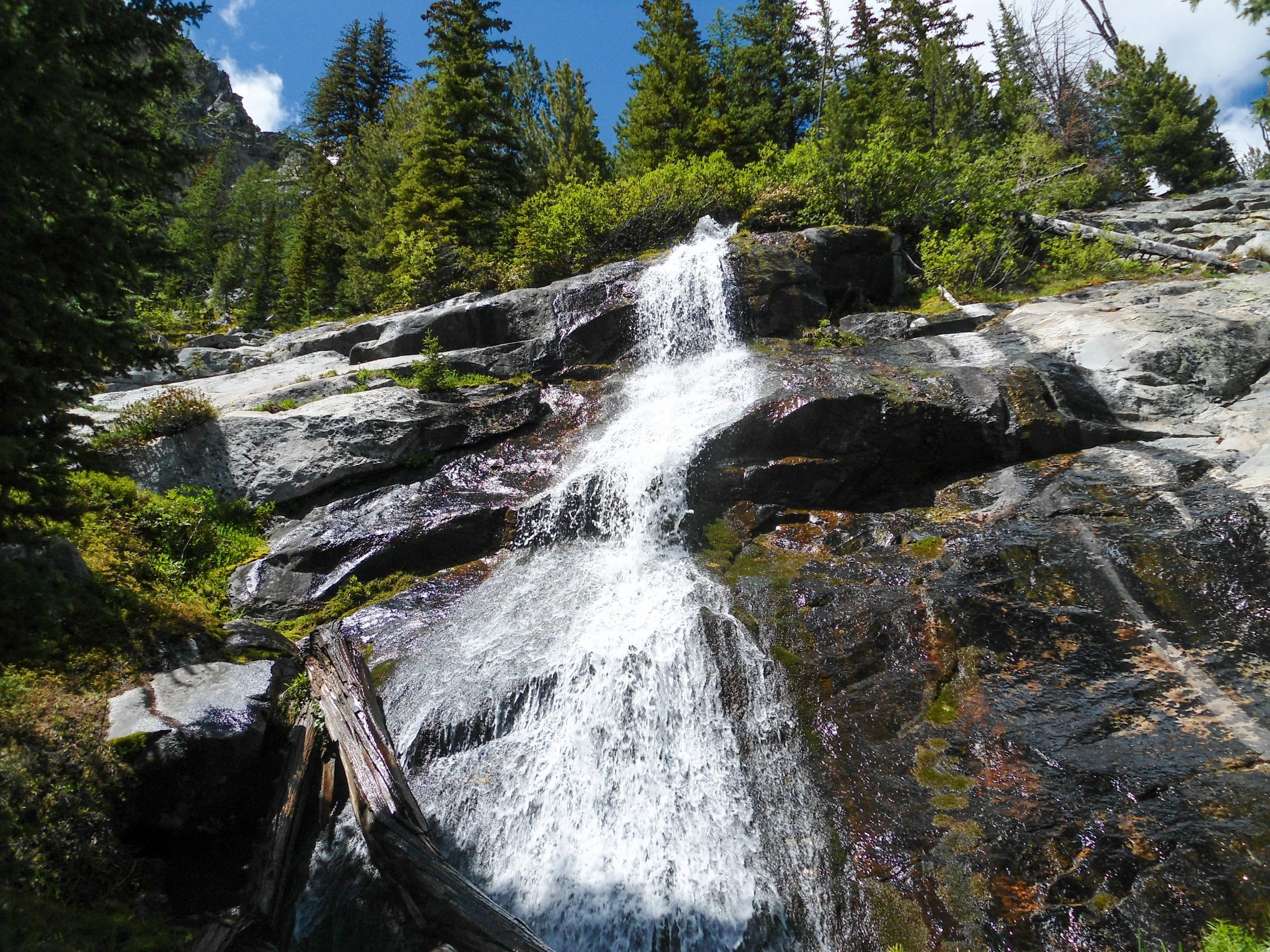
Loved this part
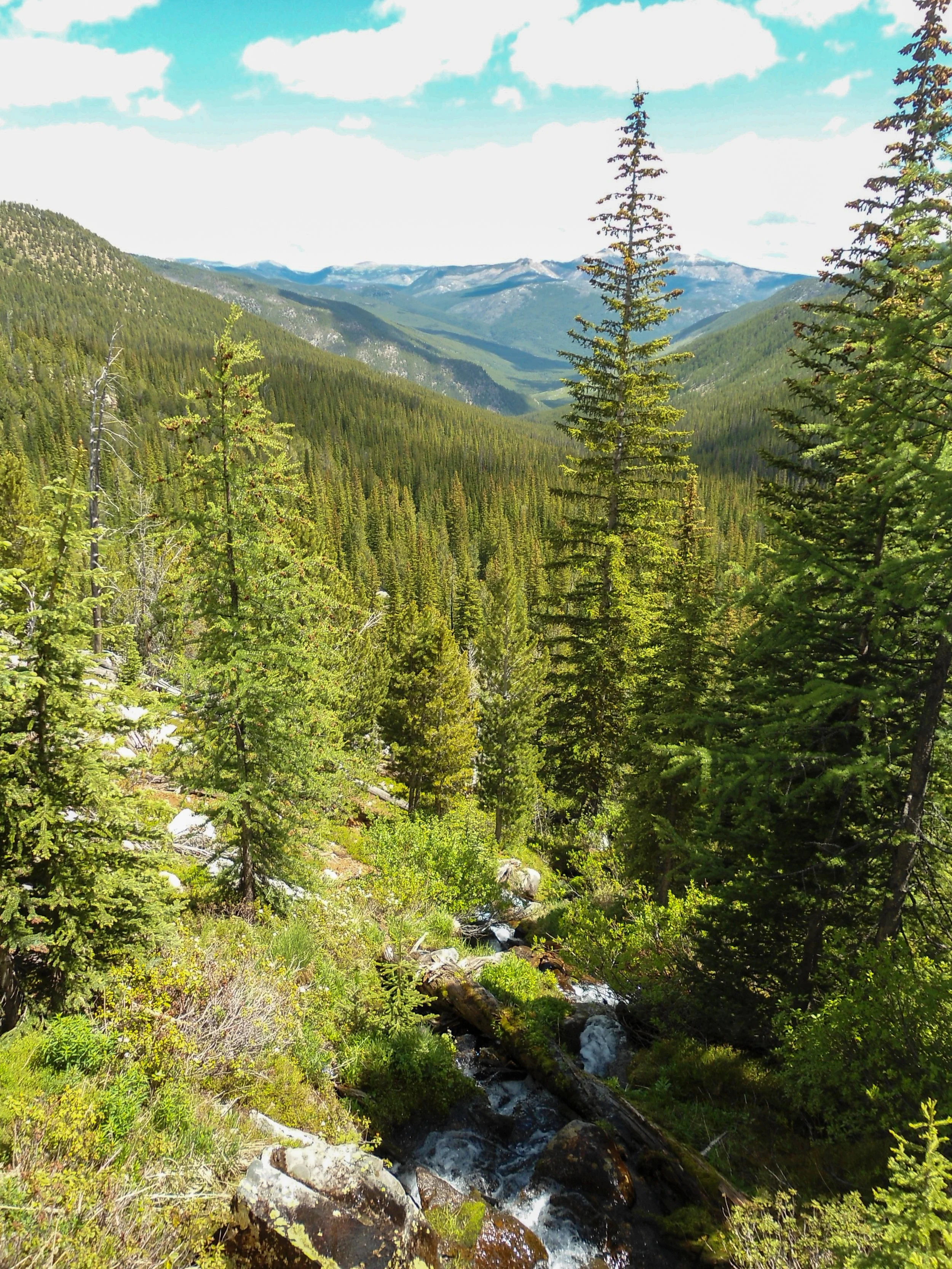
Looking down the valley
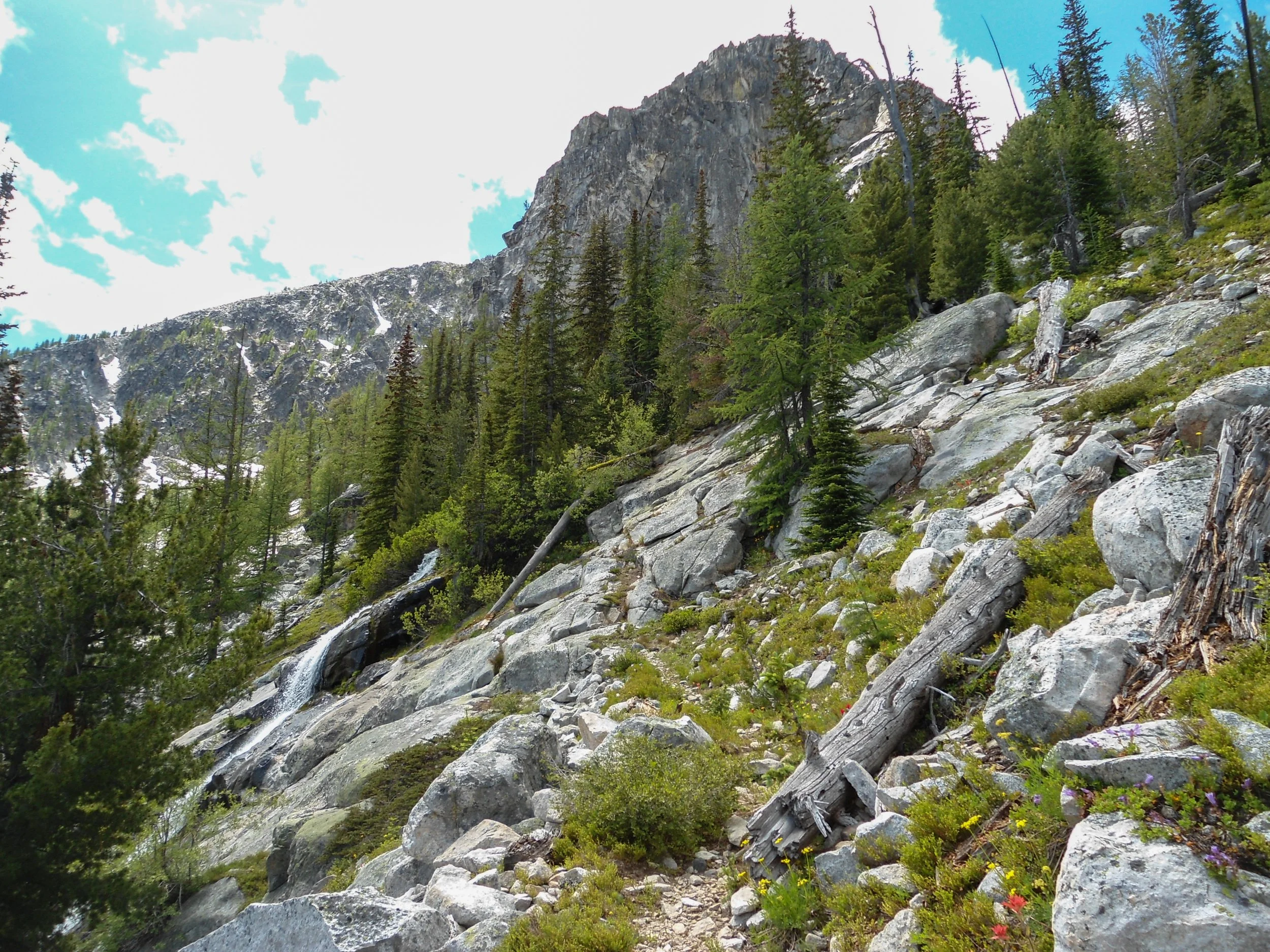
Taking switchbacks up to the meadows
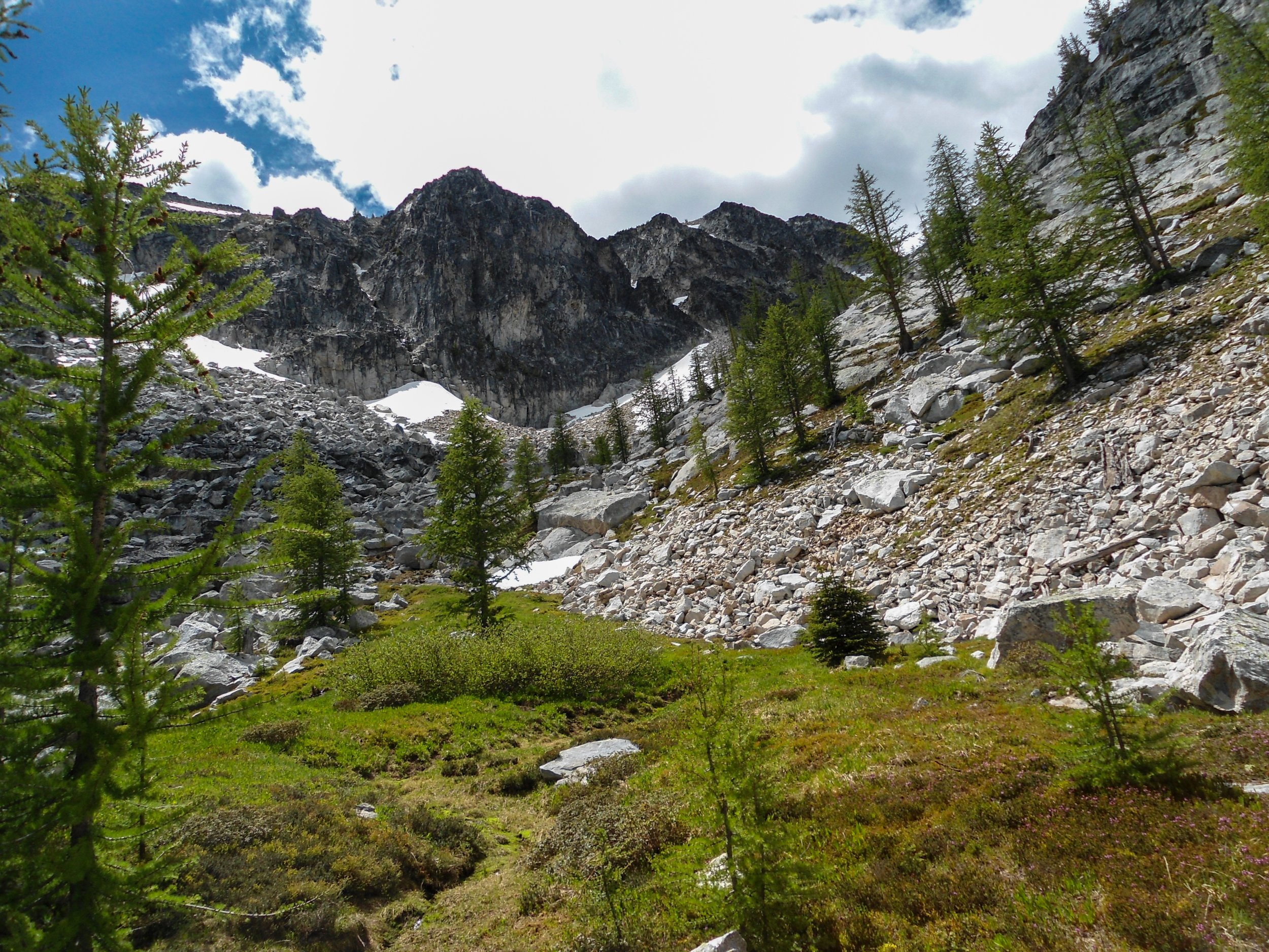
Stunning, my favorite part of the trip
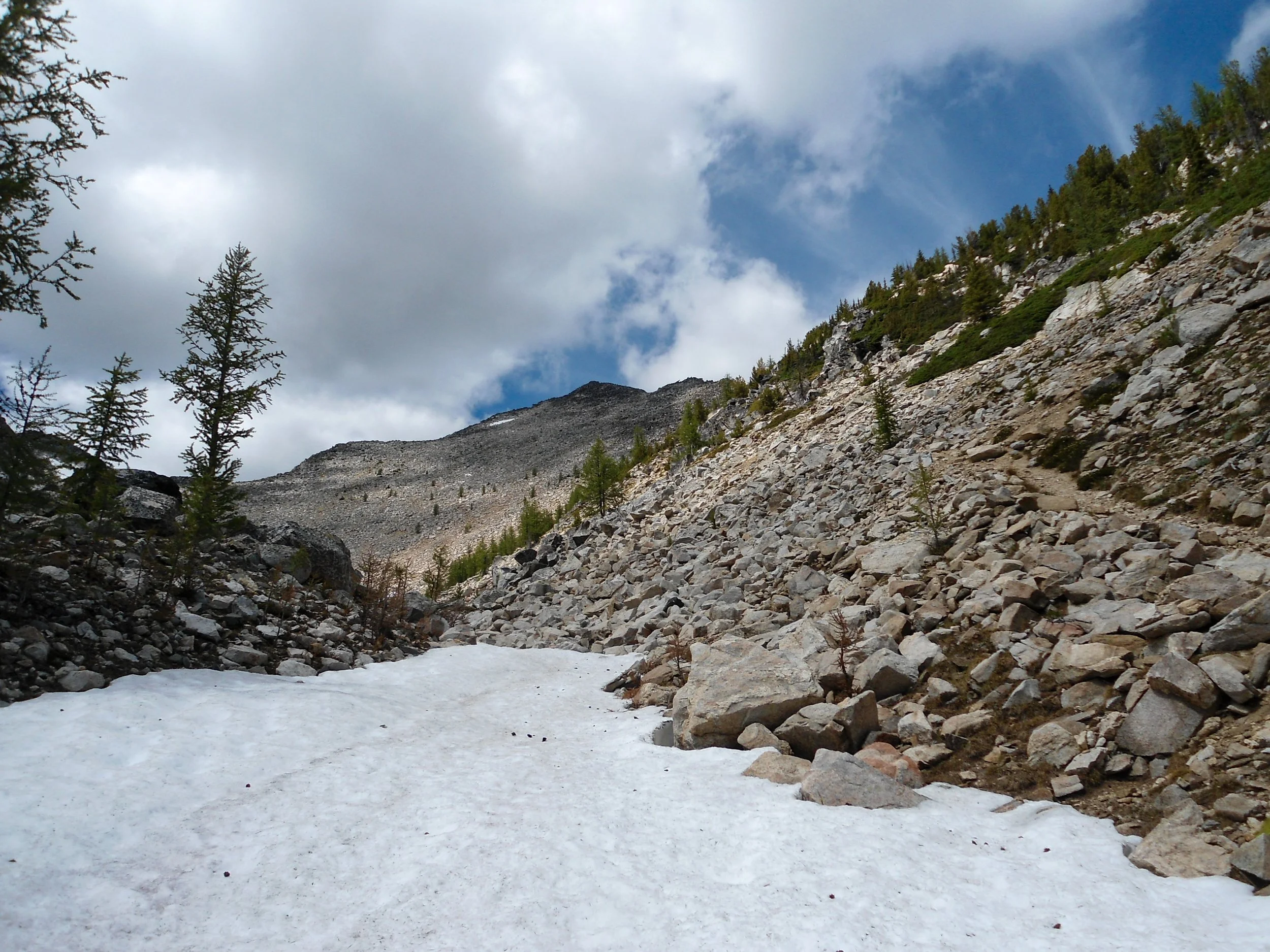
The summit finally visible
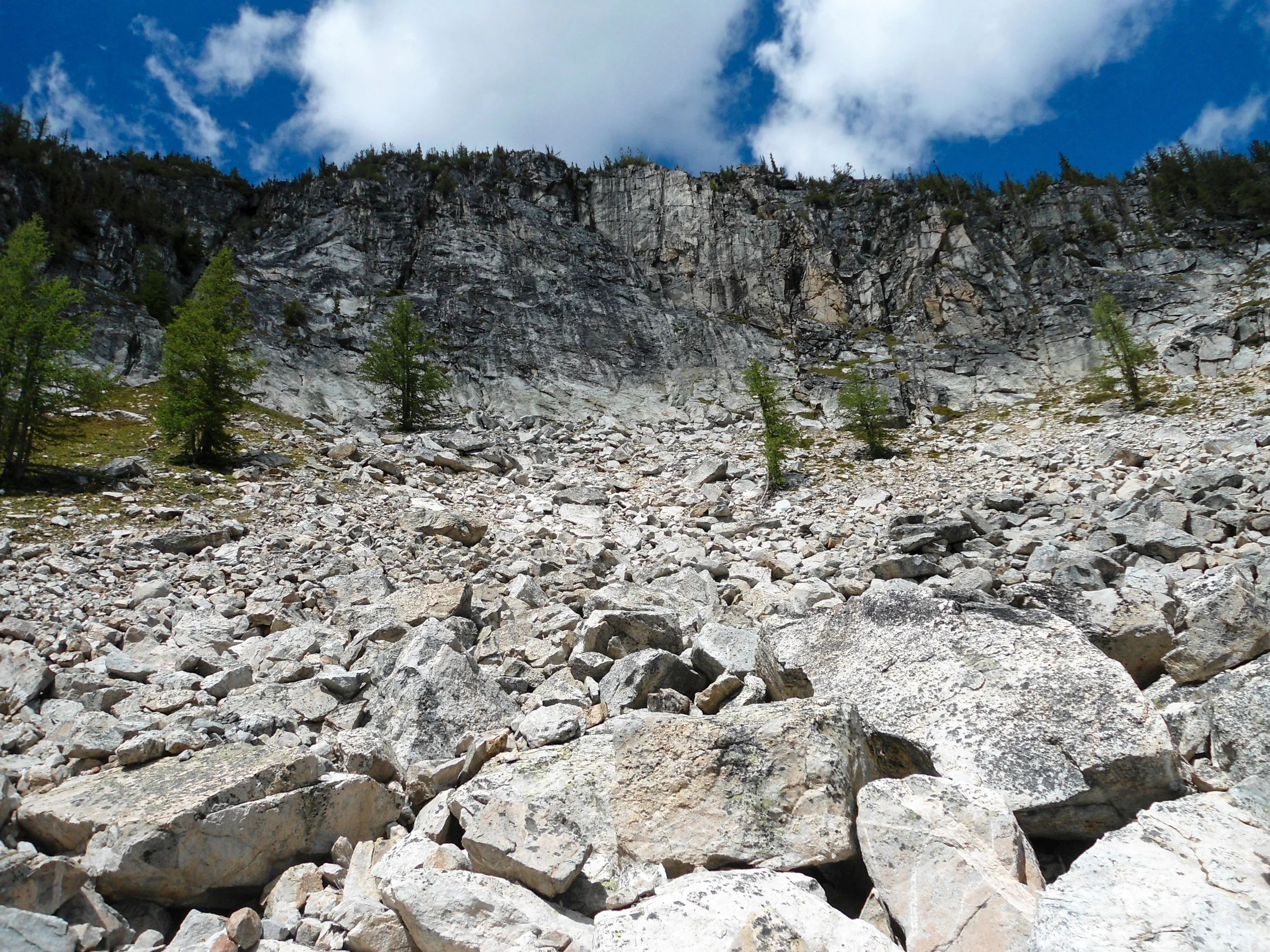
Rocky ridgelines surrounded me
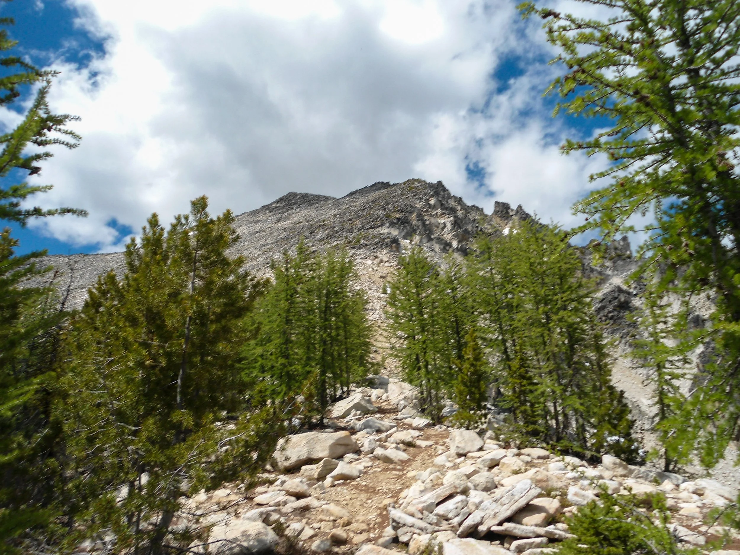
Summit push
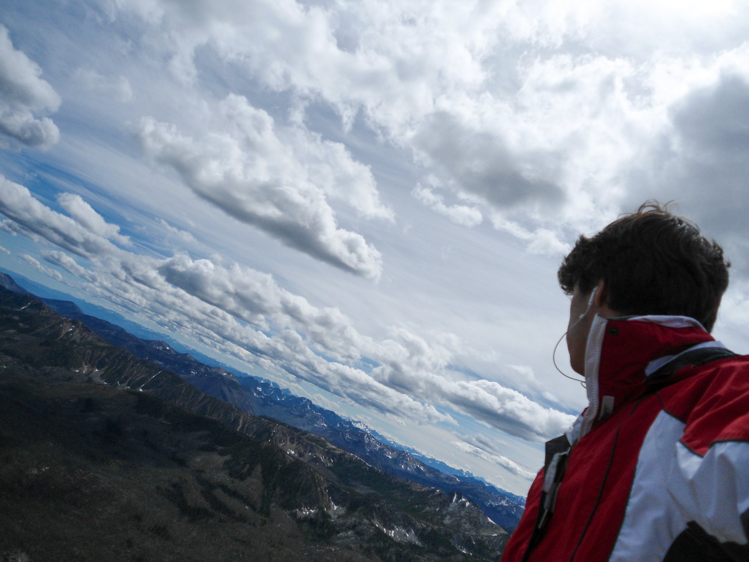
Summit shot
The 4,300+ feet of prominence was felt on the summit of Remmel, as I was able to look west into the North Cascades all the way to Baker and Shuksan, north into Canada, and east towards the rolling hills of Eastern Washington. On a false summit 20 feet below, there was a spot for a tent or two bivies. I spent a good hour up top before the brisk winds ushered me down. It took me just 5 hours to get to the top from my campground.
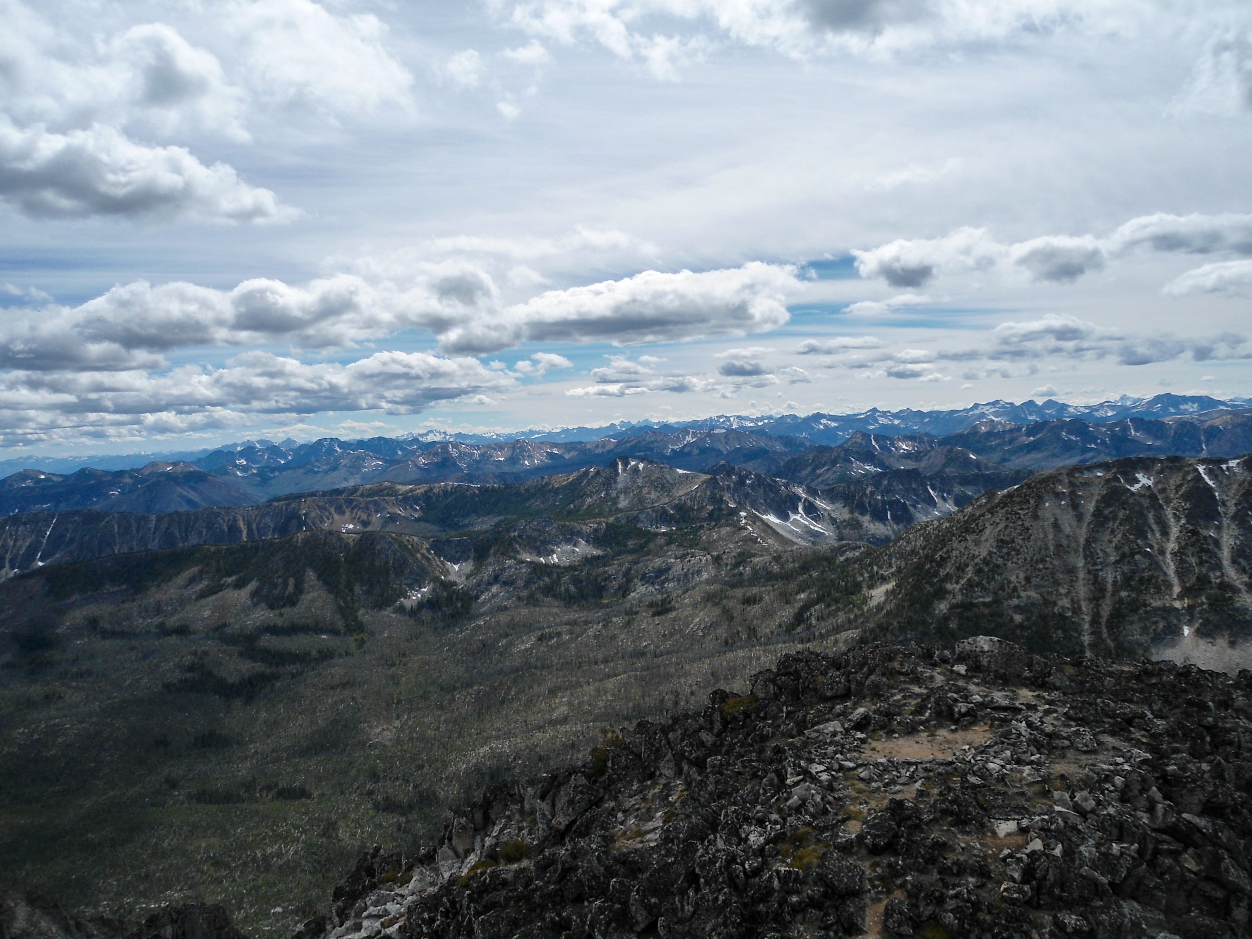
North Cascades
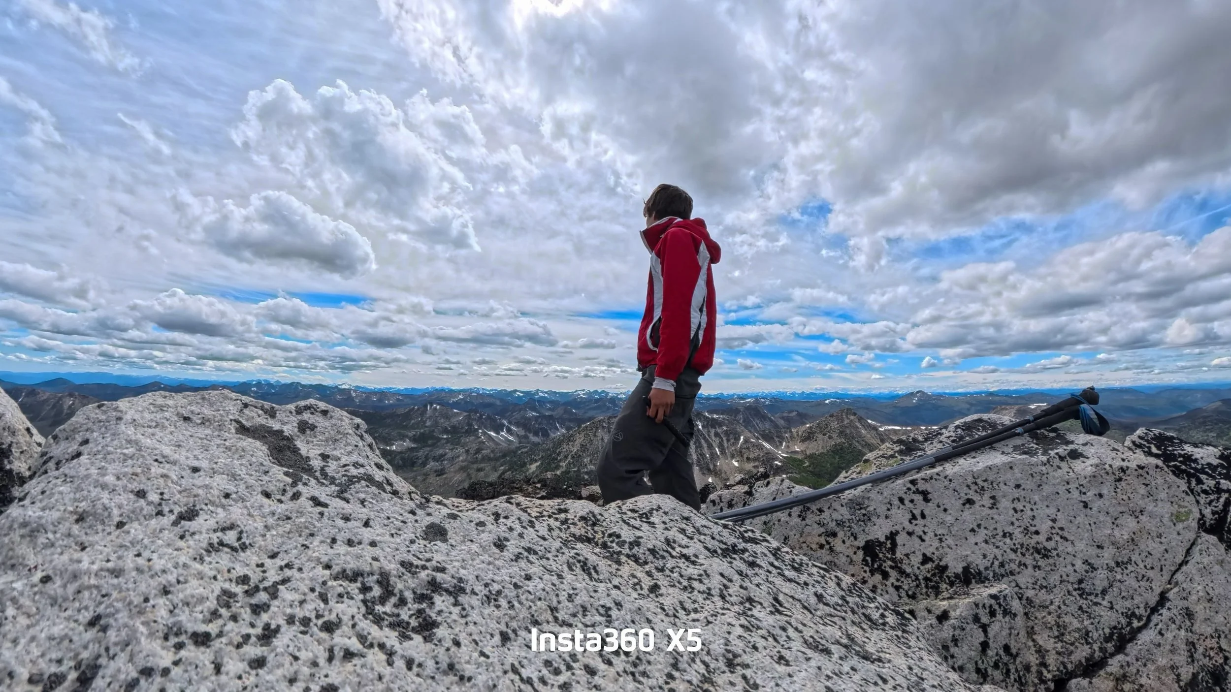
8,688’
The descent was brisk as I chose the trail down instead of boulder-hopping, then hustled through the meadows back to the 4-Point Lake cutoff. Since I was all the way up here, I figured I’d check out the lake. 4 Point Lake, while pretty, was one of the buggiest places I’ve been; the second I stopped, I was swarmed by hordes of mosquitoes. From the lake, it was just a simple slog back to my campsite. I arrived just after 7 pm, 10 hours after I left.
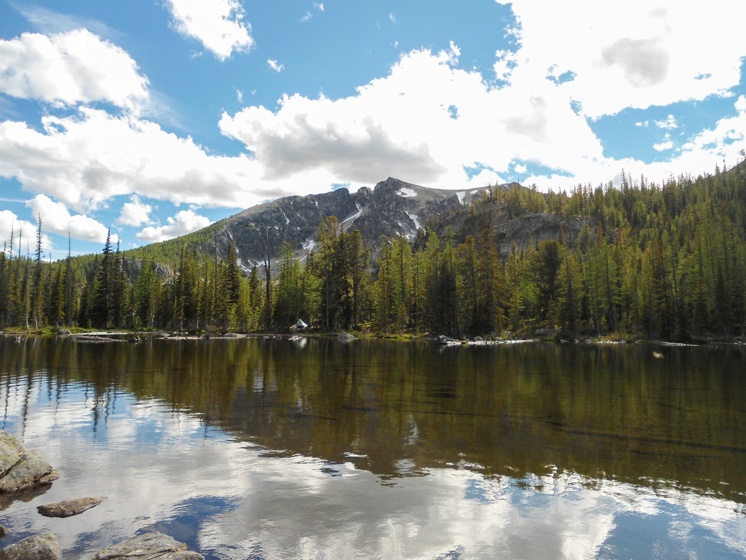
Four Point Lake
Day 2 Stats: 19 Miles – 5,000’ Elev Gain
Day 3: After another slow morning of struggling to leave my warm sleeping bag, I got up, packed my tent and items, and got on the trail just after 7am. 2 and a half hours and 8 miles later, I rolled into the Thirty-Mile Trailhead, completing my journey.
Day 3 Stats: 8 Miles – 550’ Gain
Overall, this was a great 3 days as I headed through one of Washington’s most stunning and isolated areas. The section between my campsite and Four-Point Lake was quite dull, but it’s a bit unrealistic to expect every section of a 35-mile hike to be riveting. I would consider this the perfect backpacking training trip for more intense climbs such as Glacier Peak, as it's long.
Final Stats 35 Miles – 6,600’ Gain – 14:30 C2C
As Always Happy Hiking and Stay Safe
