Goat Mountain Mount Baker
6/30/26
Goat Mountain 6,893’ is a semi-prominent peak along the Skagit Range, which is accessed via the Hannagan Pass Road. There are 3 different destinations to go to from the Goat Mountain Trail: Goat Mountain Lookout (5,100’ ), West Goat Mountain (6,722’), and Goat Mountain (6,893’). I did Goat Mountain, which is the longest and toughest of the three.
I rolled into the Goat Mountain Trailhead around 9:30. The weather was overcast, and the forecast called for light showers throughout the day. The trail up to Goat Mountain Lookout was straightforward as I ascended two switchback sections. The first was in the woods, and the second was through meadowy brush as I broke out. Unfortunately, the 2nd section was a bit overgrown, and I got completely soaked. 3.5 miles in, I reached the lookout; unfortunately, there wasn’t much to see. Just as I was leaving, the clouds parted for a split second, and I got a glimpse of the rugged Mount Sefrit across the valley.
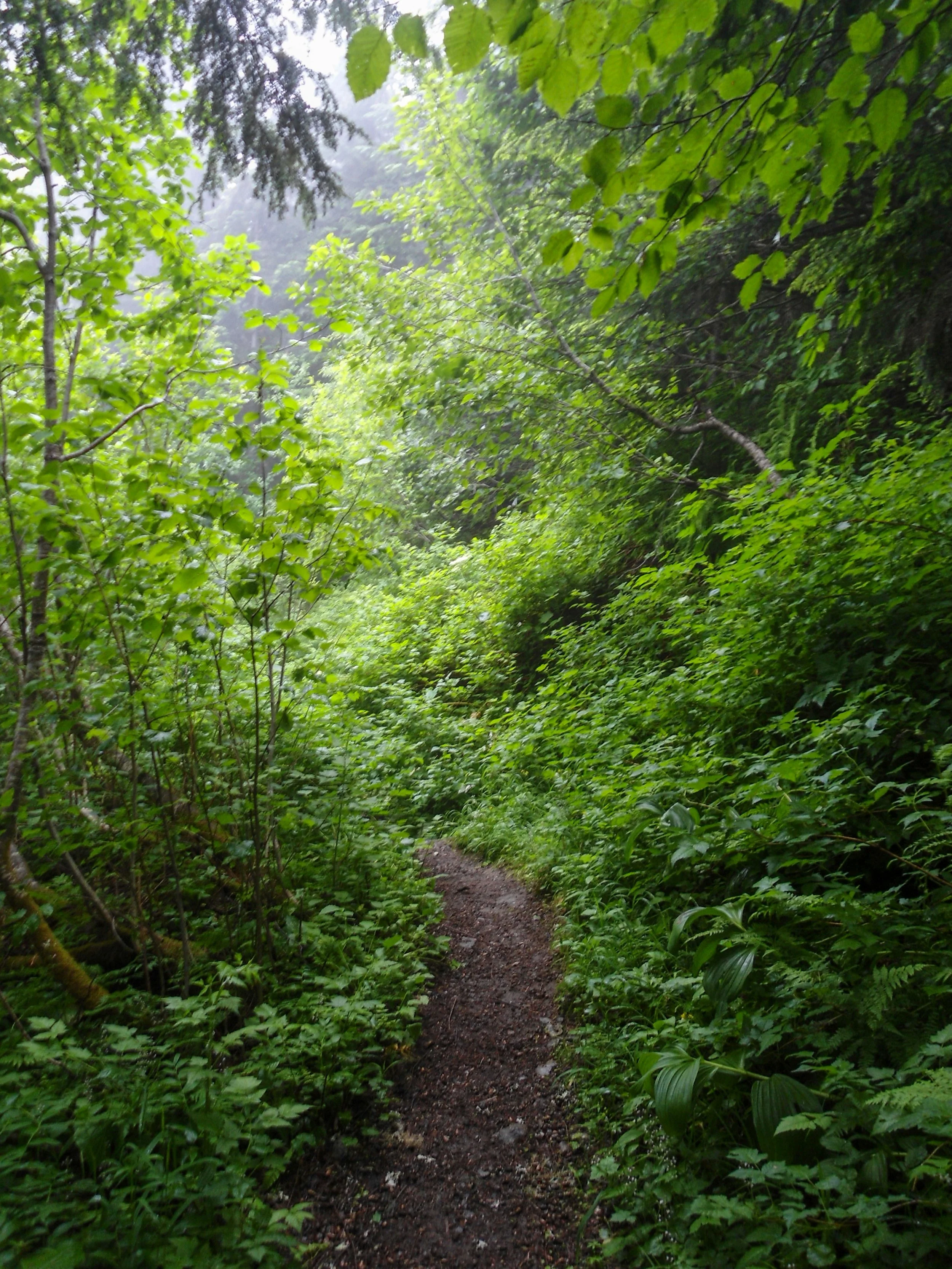
I got soaked heading through here
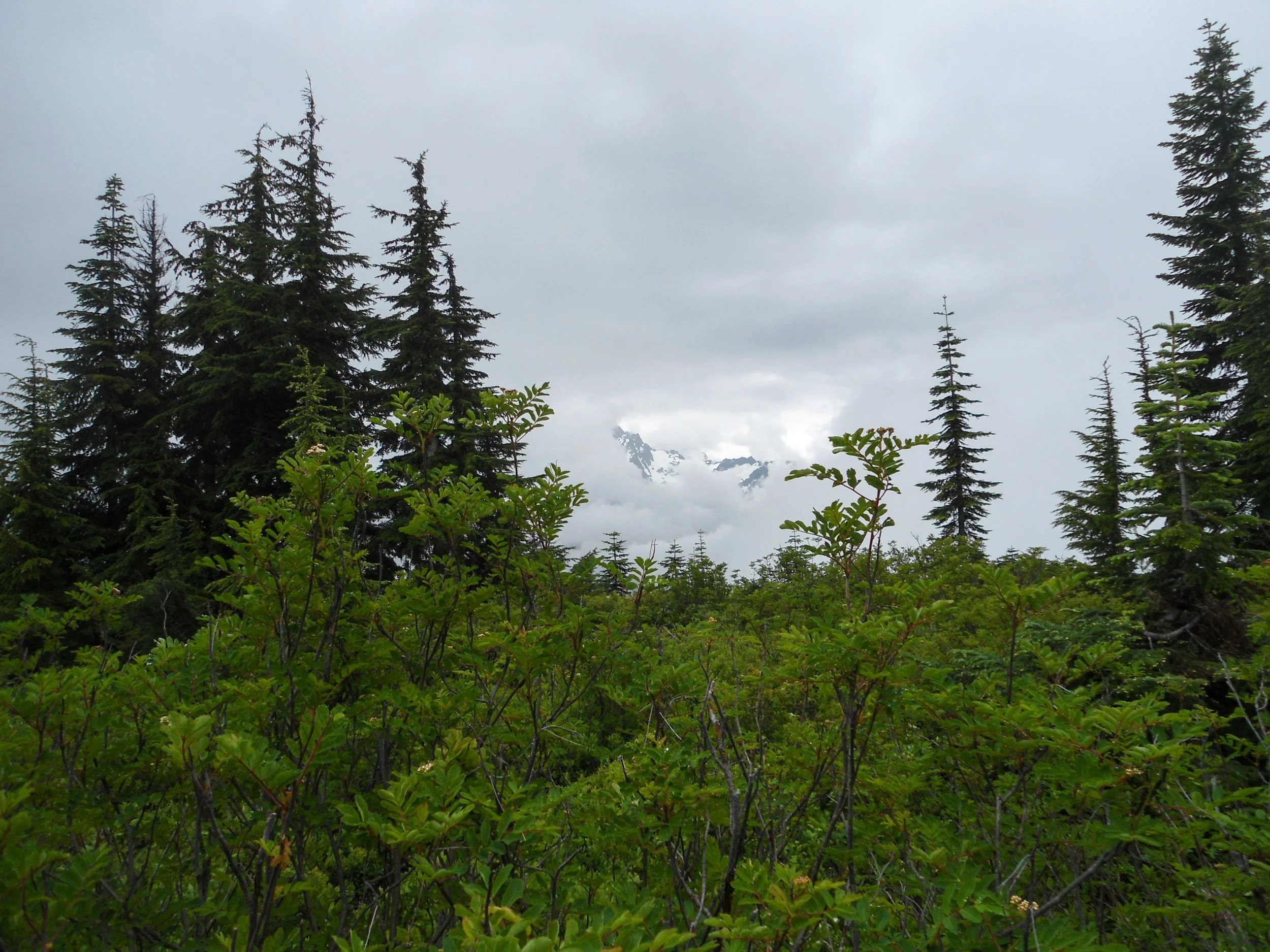
Kinda a view
From the lookout, I got back on the Goat Mountain Trail and followed it up half a mile to 5,600’. From there, I left the trail behind and began following a faint path that descended into a mini bowl before ascending on the other side. Don’t try to stay high; the side hilling up there is terrible. Stay low. Once on the other side, I began to ascend up a stream bed before running into the only lingering snow section left. I trudged on up before getting off the snow and heading up some seriously steep, brushy slopes. Everything was soaked, and I had a good deal of trouble finding any traction, though I was mostly worried about the descent. At 6,100’ the slope grade lessened as I continued my trajectory of heading northeast. The upper section of Goat Mountain was fairly rocky, which normally wouldn’t be a problem, but due to the recent weather, the rocks were now extremely slick. I made sure to take my time as I bypassed a steep snow finger by traversing a rock shelf above. Once past it, it was just a steep dirt/brush ascent all the way to the summit.
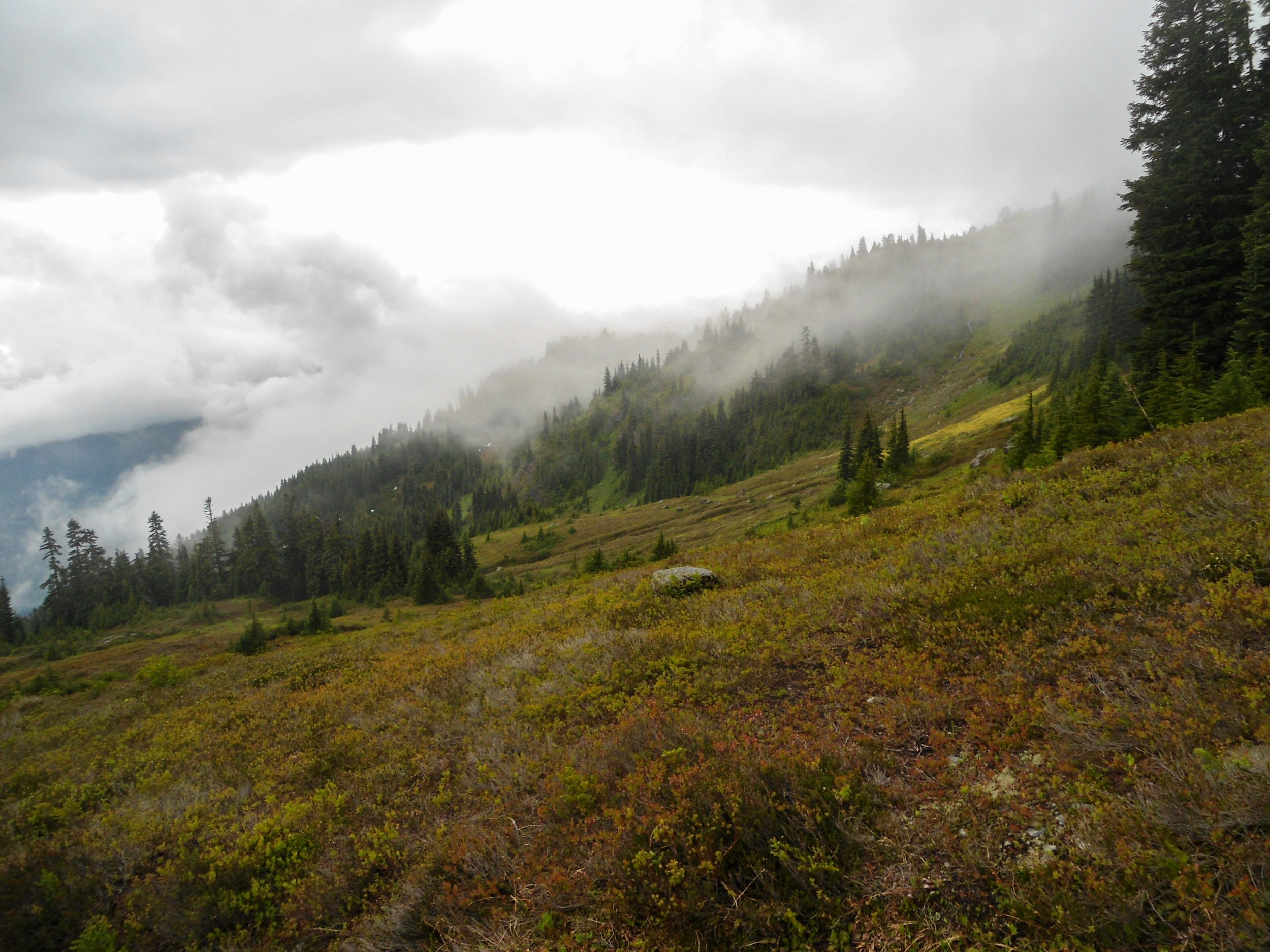
Entering the meadows
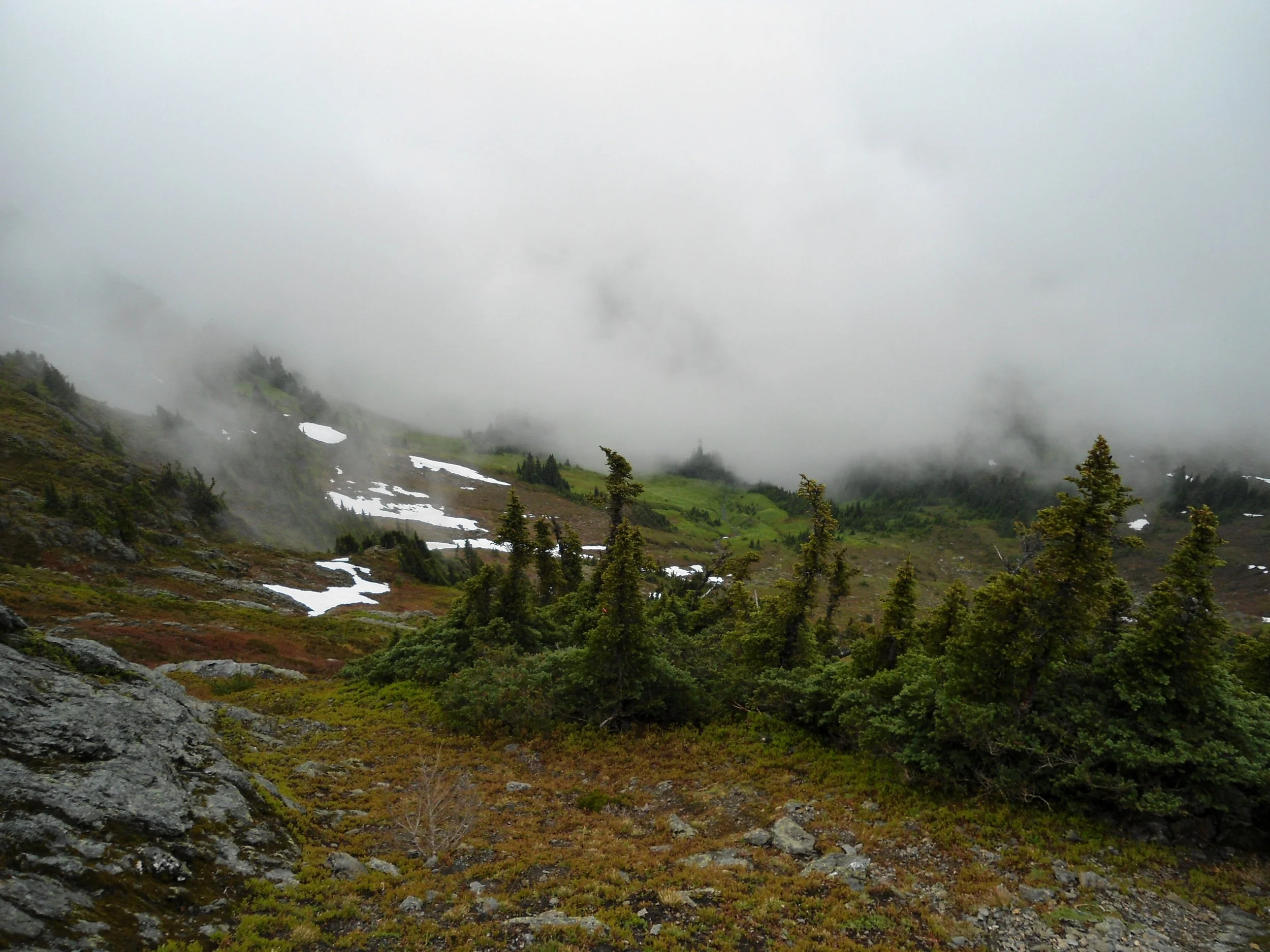
Higher I go
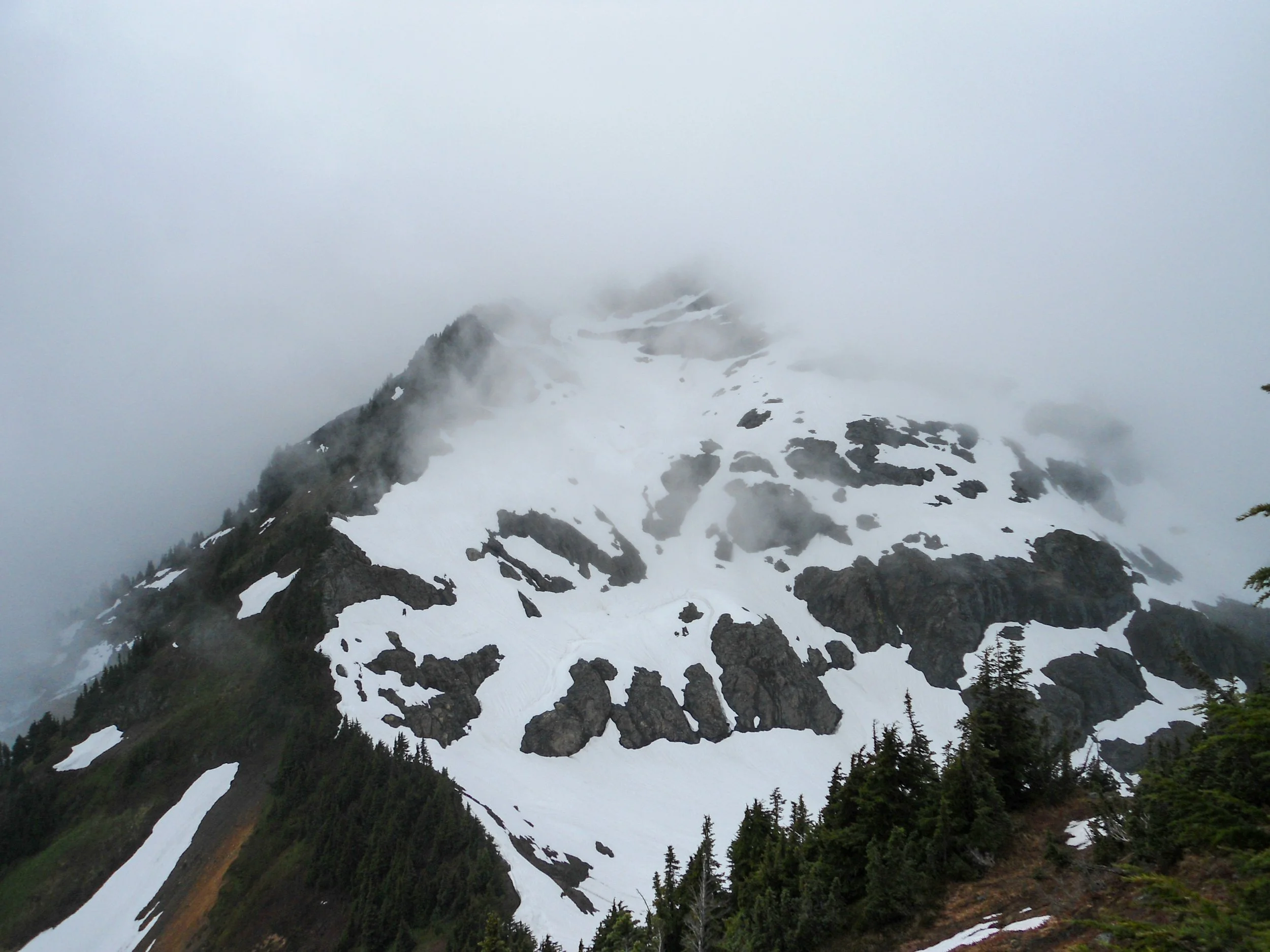
Best shot all day - West Goat Mountain
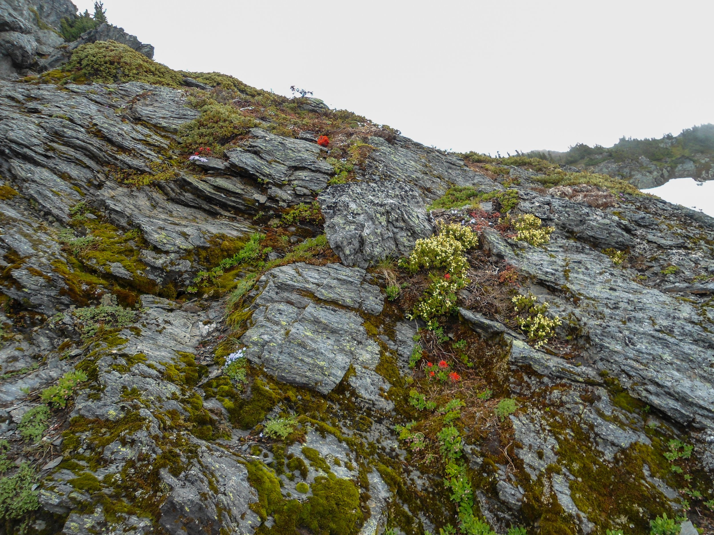
Rock shelf
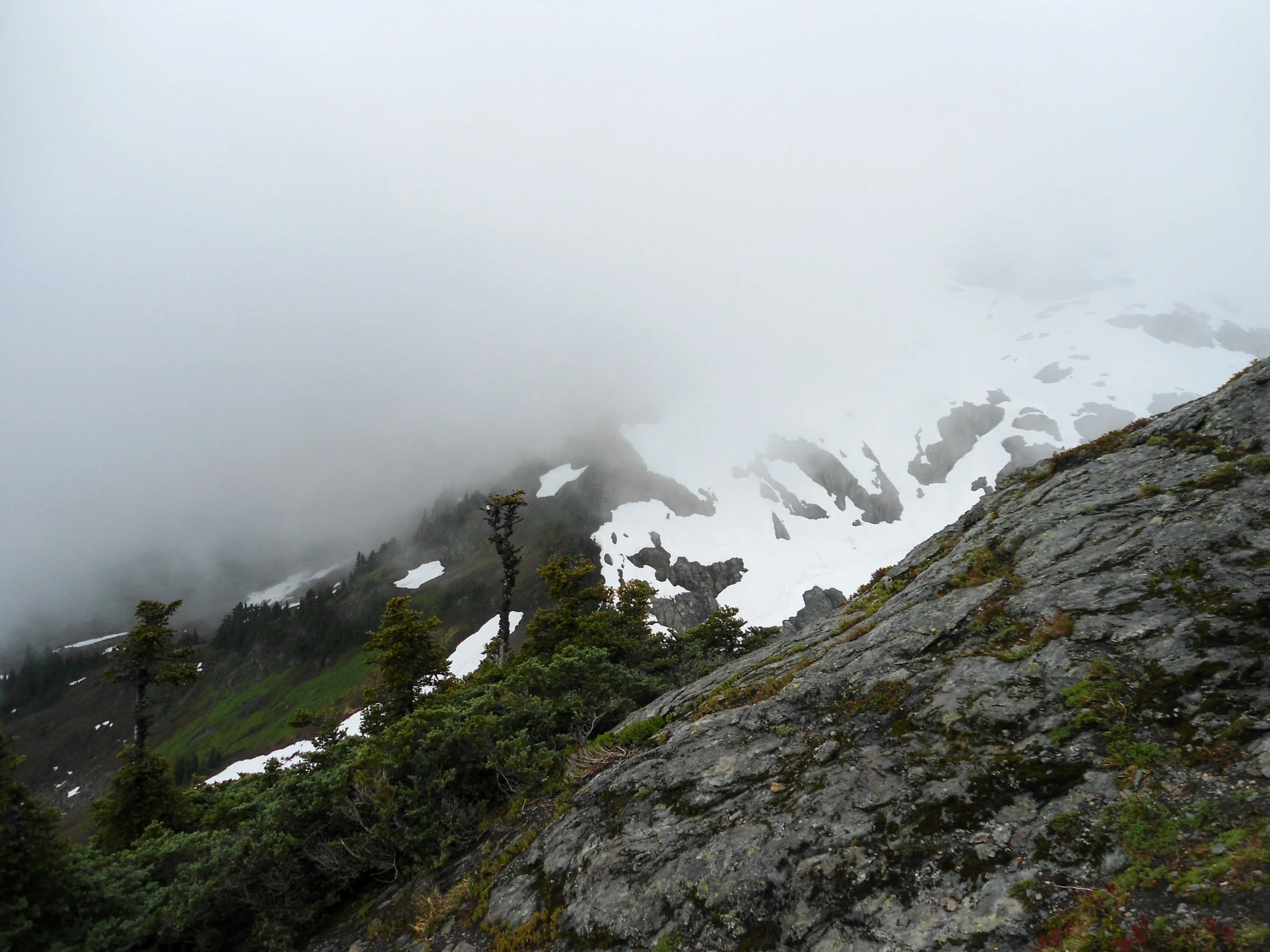
Looking down, yikes
There were no views up top; even West Goat Mountain, which was visible around 6,200’ was now lost behind the clouds. I was a bit nervous about the descent, so I only spent a few minutes up top.
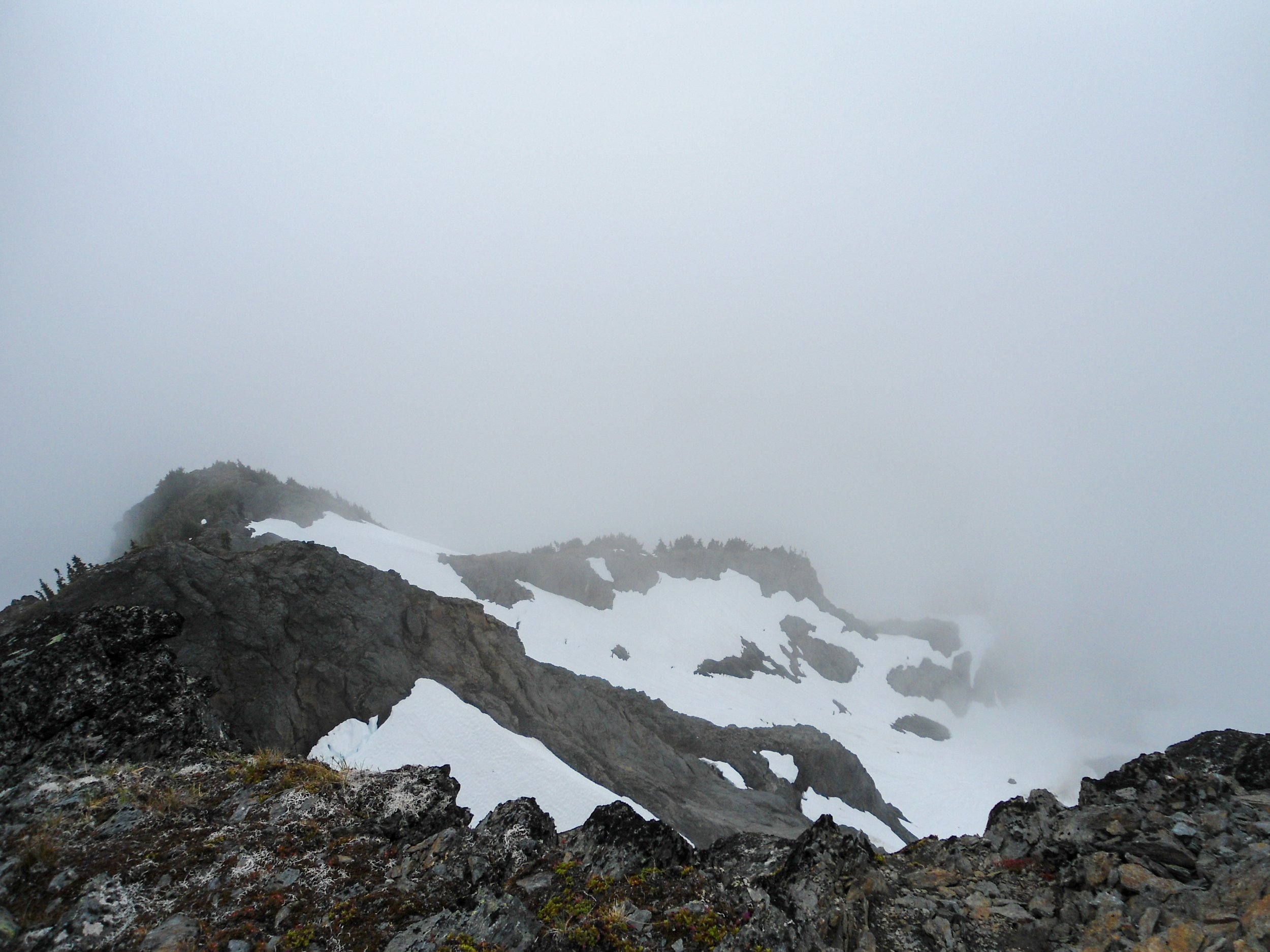
Goat Mountain’s snowy backside
The descent wasn’t terrible; I definitely had to focus on the section up top, as a fall would be unfortunate. Once back at 6,100 ’, I actually popped on my micro-spikes for traction down the steep, wet,brushy slopes, which worked like a charm. Once I was back on the snow, it was smooth sailing all the way back down to the car. Not once did the views open up.
Overall, this was a great hike given the weather, which limited options, although I wouldn’t recommend this mountain when everything is wet. I got absolutely soaked, and the wet rock up top wasn’t ideal. That said, this would be an amazing hike on a nicer day, as I know the views would’ve been absolutely killer.
Final Stats: 11 Miles – 4,900’ Elev Gain – 7:20 C2C
