Russian Butte WA
July 18th, 2025
Hi, we're the Mountain Goats (Terrence and Nathan), and yesterday I solo climbed Russian Butte via the Revolution traverse. Russian Butte has long been on my to-do list as one of the toughest peaks in the area because no official trails lead to the summit.
There are 3 routes to the summit: via the Pratt River Trail, via Gifford Lakes, and via Revolution Peak. I decided to attempt the Revolution Peak route as I've done Revolution before. This is the longest route, but this route allowed me to gain the majority of the elevation needed on a maintained trail.
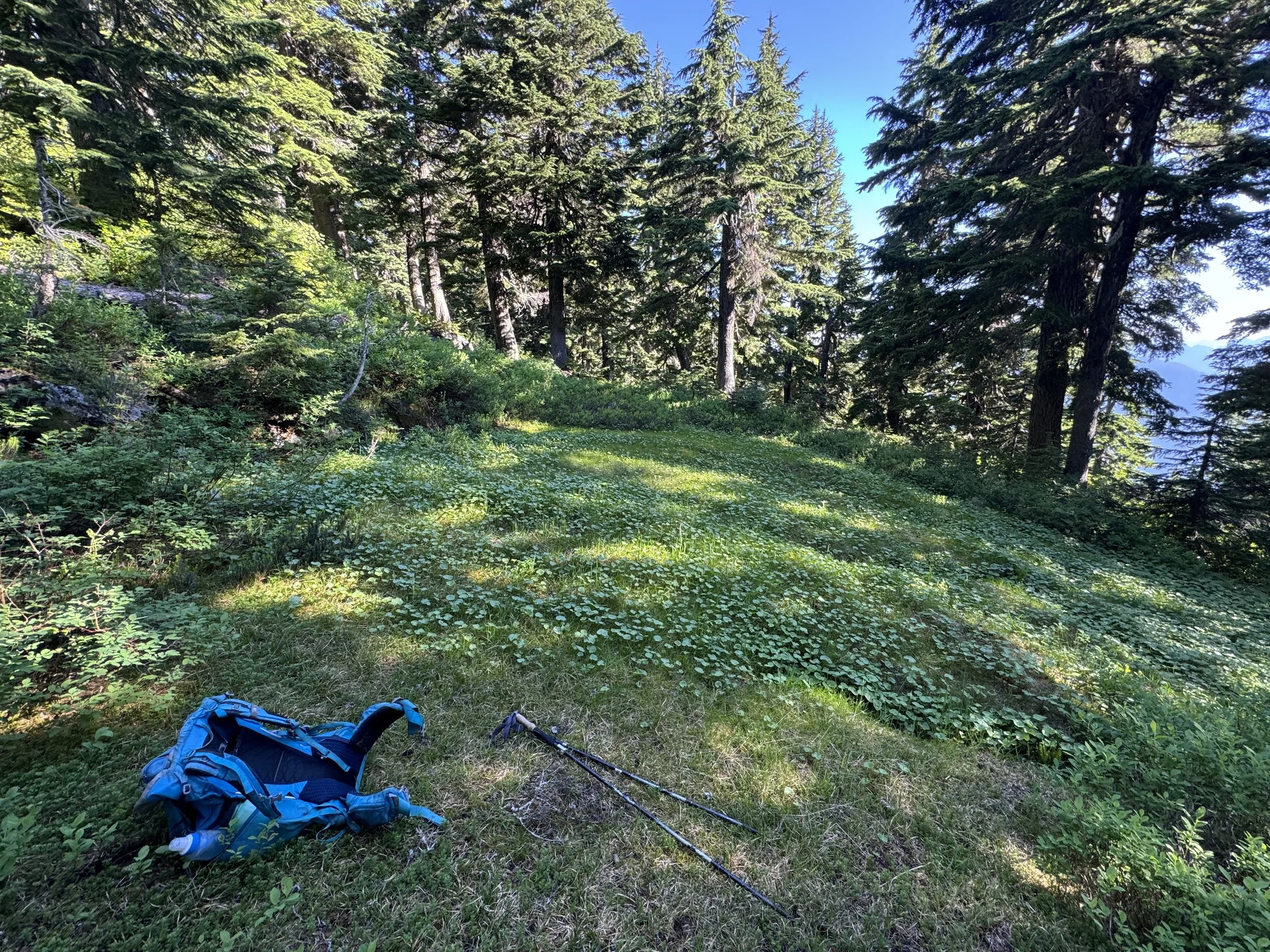
To beat the heat, I got an alpine start, leaving the Granite Lakes trailhead at 3:30 AM. I knew water was going to be a serious issue up top, so I brought four liters of water. I ended up pumping water from Granite Creek 2.3 miles in, following an old logging road, but this proved unnecessary as there were four seasonal creeks which I would've been comfortable pumping from across the trail. I followed the trail past the Granite Lakes cutoff heading up to the Thompson Lake cutoff. Here, take a left and continue on the Thompson Point trail. 5 minutes after the cutoff, I reached the final water source.
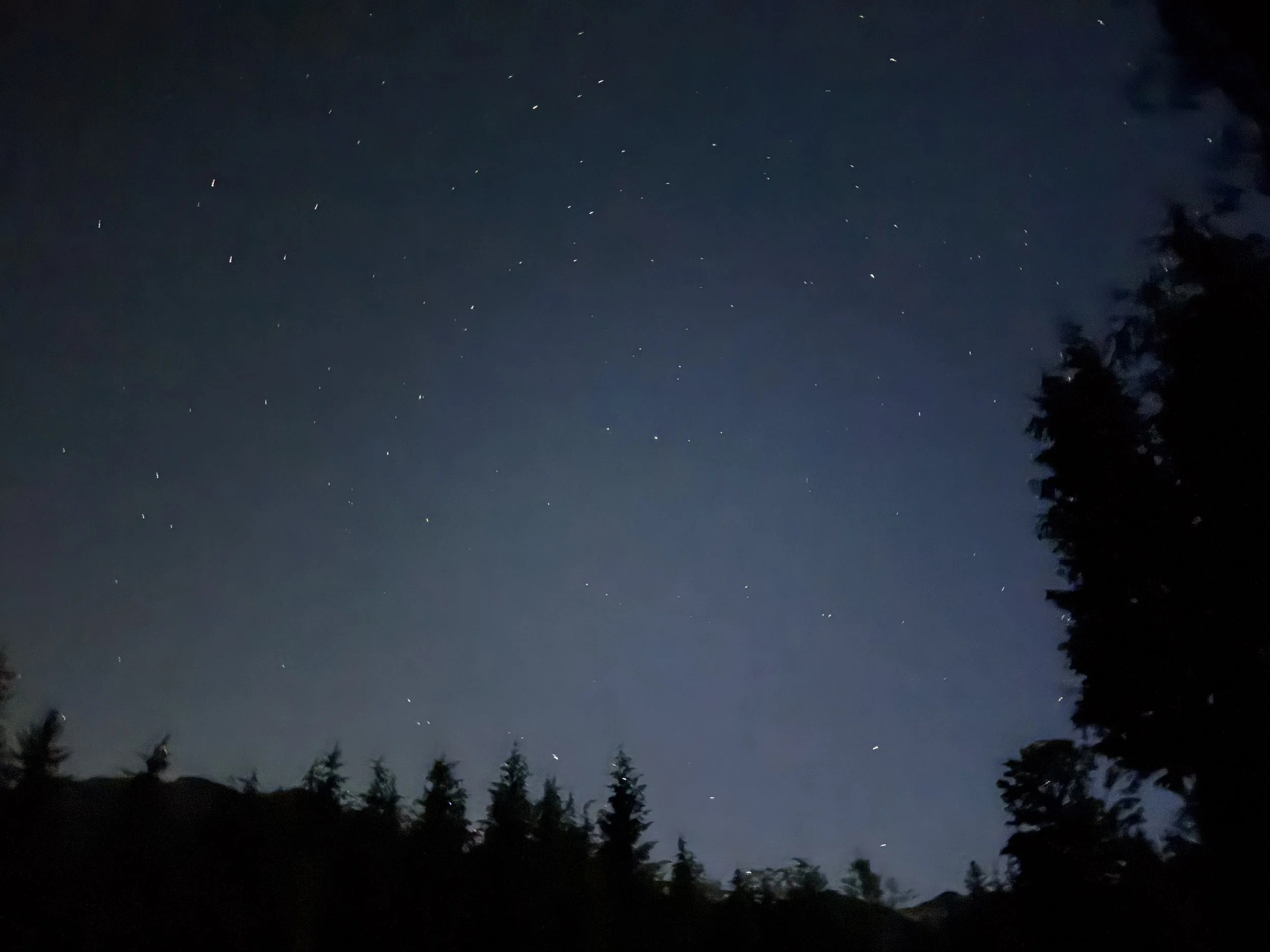
Early start
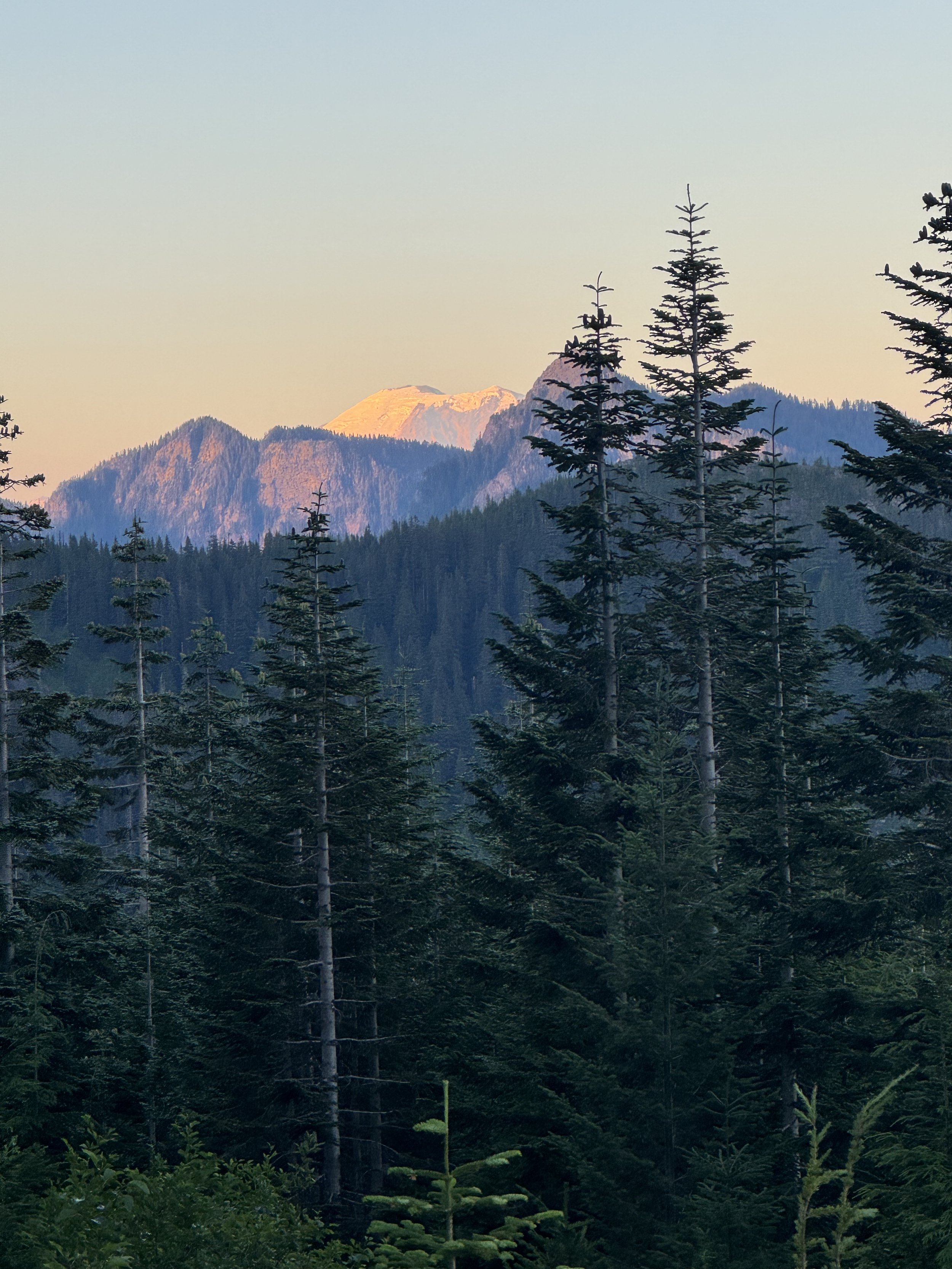
Ranier in the morning sun
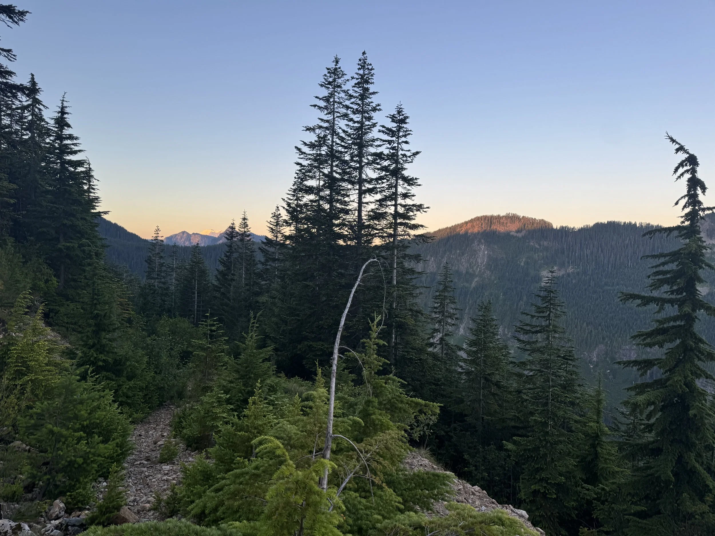
Up I go
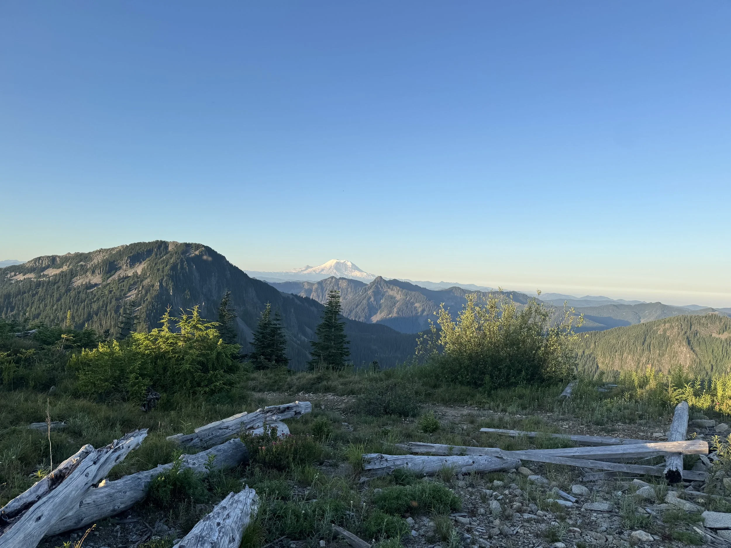
Thompson Point
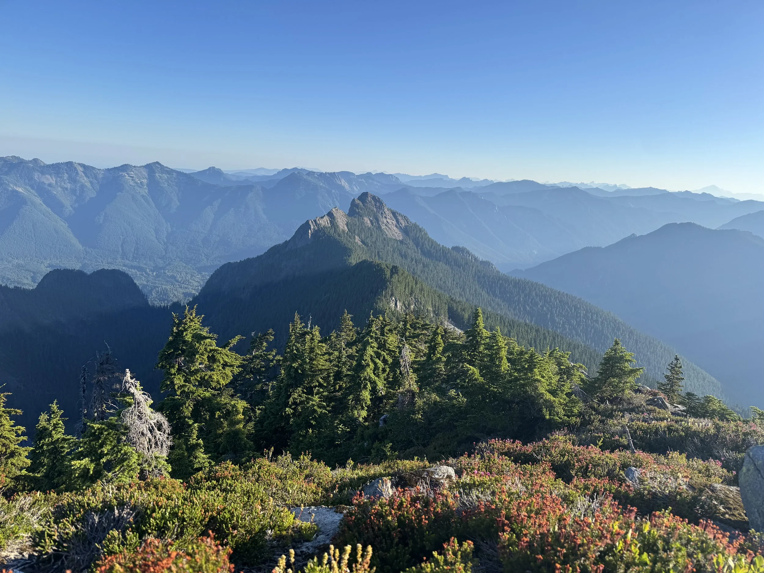
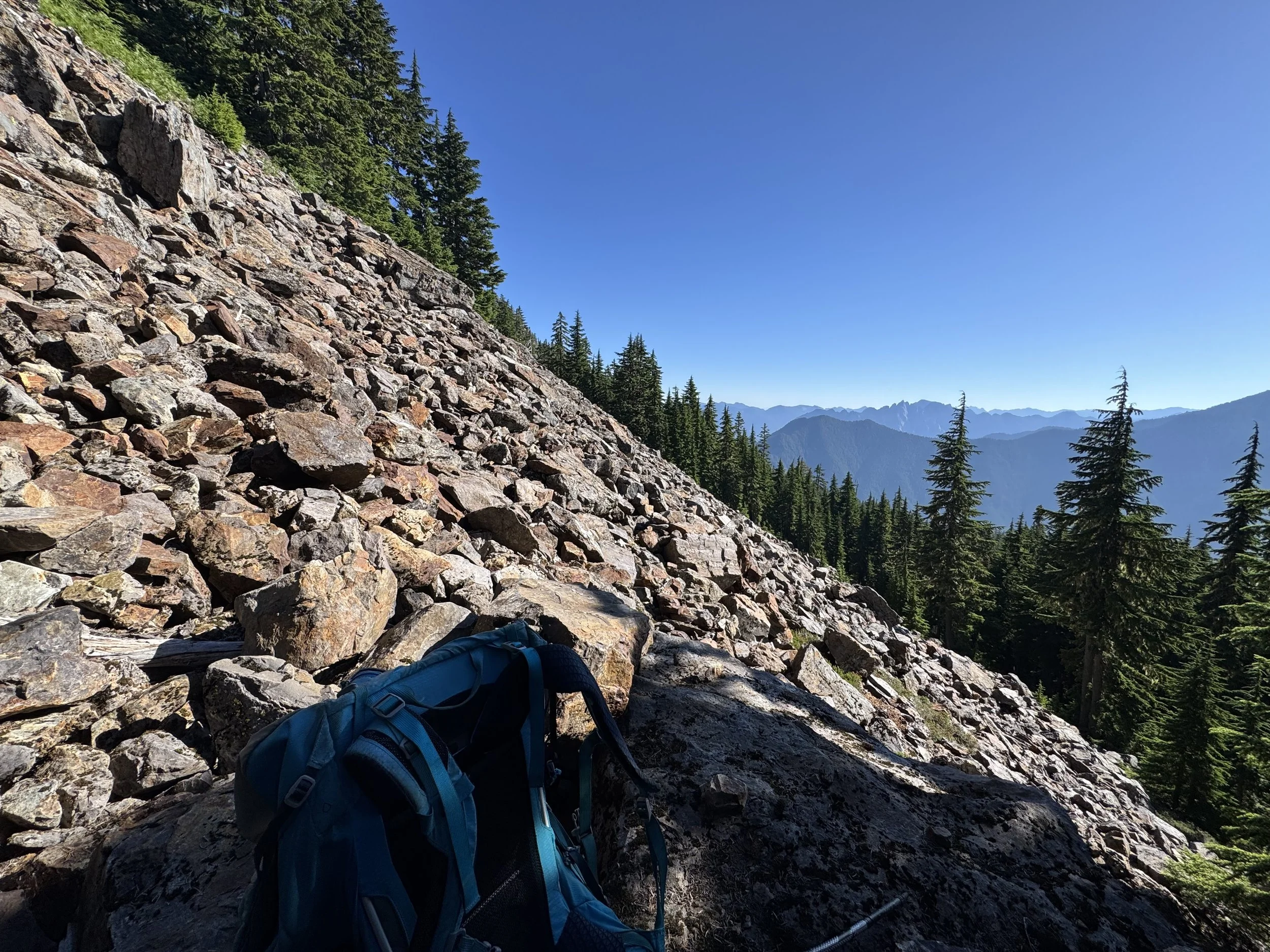
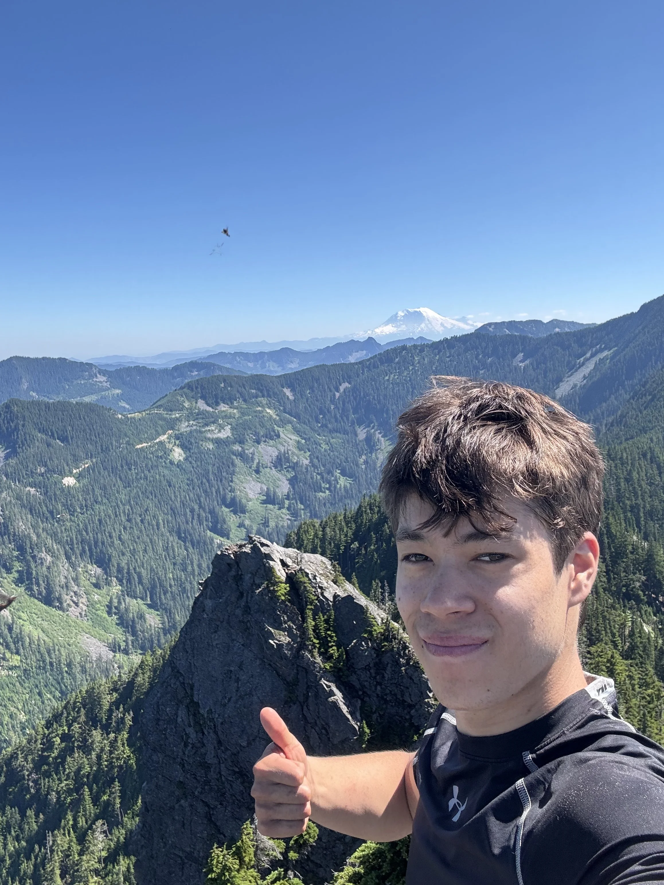
2.5 hours after leaving the trailhead, I arrived at Thompson Point (5,000 ft). At this point, I had already gone 5.8 miles and gained 4,100 feet. Rainer was beyond stunning in the early morning sun and dominated the skyline. After a quick rest, it was on to Revolution. Follow the Thompson Point Trail 500 feet to a clearing with some wooden seats. Here, the climbers' trail to Revolution Peak begins. I immediately dropped a few hundred feet before traversing NE towards revolution, occasionally straddling the ridgeline. There's the famous spot where a rope has been placed to help you down climb (not sure if it's necessary, but it's a great trail marker. Right before the summit, I broke out onto a boulder field and boulder hopped 200 vertical feet to the top. At this point, it was just before 7 AM, about 3 hours and 15 minutes after leaving the trailhead. Revolution offers great views of Rainier and Adams, but more importantly, of the ridgeline to the NE and Russian Butte.
There she lies
There is no trail from here on out, so to help with route finding I used the Peakbagger app. They have a feature that allows you to download the 10 most recent tracks for any mountain, which is essential for a climb like this.
The first order of business was to drop off Revolution Peak and get below Point 4930. Following other people's tracks, I descended heading North, down rocks before getting cliffed out. I was forced to descend some pretty steep and slick dirt with a lack of trees to support myself. Once I got off this, I traversed a mini boulder field before ascending the ridge. Once on the ridge, things got way easier. I simply followed the ridgeline towards Point 4930. After about .4 miles of this, I got cliffed out again. The route drops down onto a boulder field to bypass the ridgeline. Having stayed on the ridge a tad too long, I belayed myself down some steep terrain using branches. Once across the boulder field, I reascend the ridgeline before dropping off onto a massive boulder field underneath some steep rock faces. From here on out, stay on the East side of the ridgeline.
Meadows
Boulder Field
Once across the boulder field, it was decision time; I could either hop onto a boulder field and drop 200 feet before regaining all on the summit push, or I could ascend a steep and extremely slippery chute before traversing over to said boulder field, saving myself 300 feet of elevation gain. I chose the 2nd. This part was a no-fall zone, and the lack of handholds and vegetation to grab onto near the top wasn't ideal. Nonetheless, I carefully made my way to the top before traversing some steep slopes onto the boulder field at 4,600 feet. Once in the boulder field, head west towards the summit. I stayed on the boulder field too long and got stuck under some slabby rocks, which caused me to backtrack. If you're on route, you should leave the boulder field around 4,780 feet. Once off the boulder field, you ascend some extremely steep dirt to the summit ridge. Good shoes are vital for this section as there's no vegetation to hold onto.
At 5,000 feet, I finally popped onto the summit ridge and followed the ridge to the summit. 4 Hours after leaving Revolution and over 7 hours after leaving the car, I summited Russian Butte. Unfortunately, a colony of flying ants had made the summit their home, and their incessant nagging was annoying. I jotted my name into the summit register (first summit of the year) and enjoyed the stunning views. Ranier, Adams, and Garfield stood out.
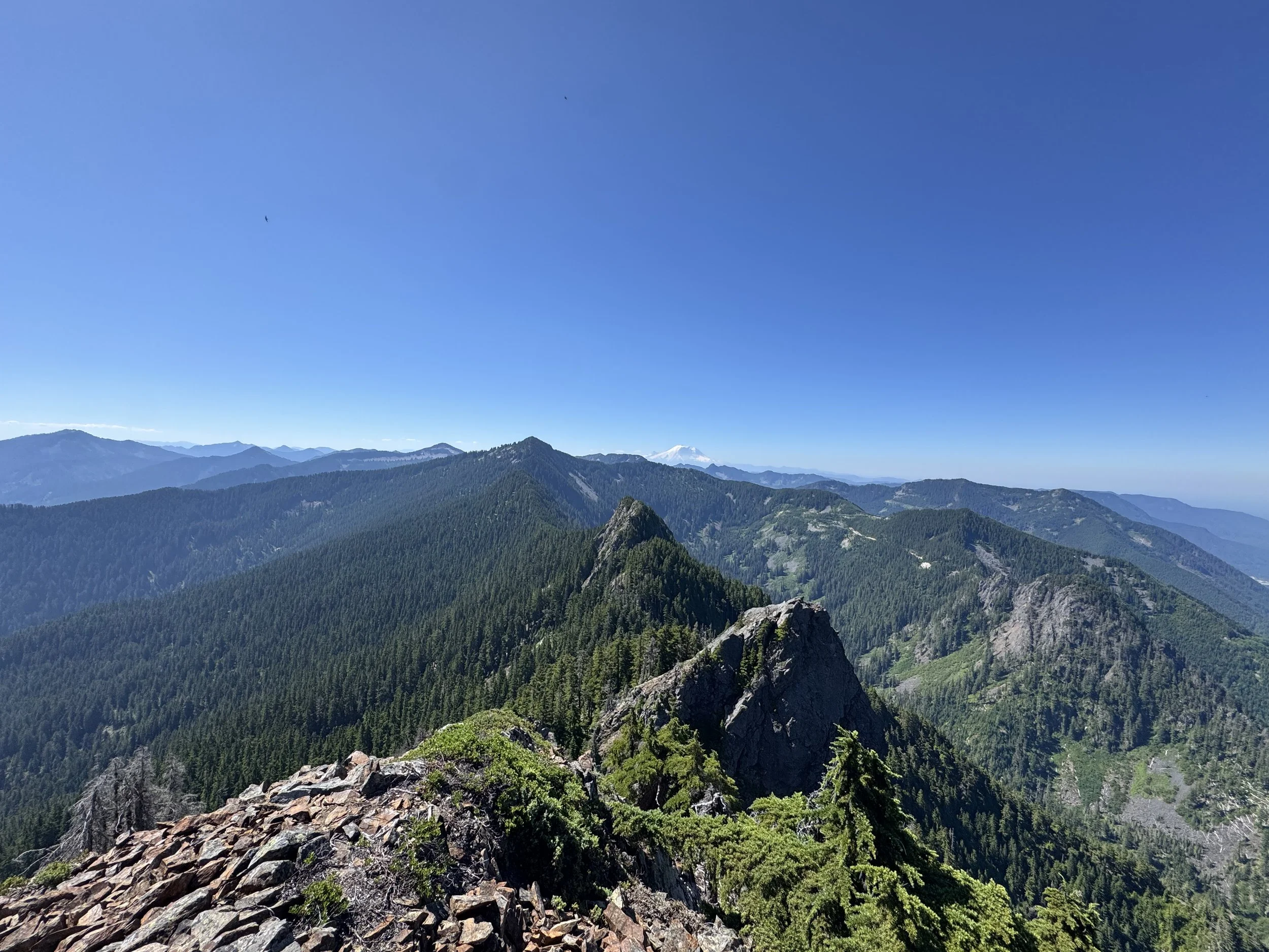
Revolution looks pretty far away
Summit!
After hanging on the summit for 30 minutes, it was time to head down. I failed to mention that I broke one of my poles during the traverse (the lock broke, so it was only usable on boulder fields, the resistance from dirt just pulled the pole apart), so I knew the trip back was going to be tedious. I put on my helmet for the descent and carefully climbed off the summit and onto the boulder field. I wasn't comfortable taking the shortcut down, so I ended up just dropping down to 4,300 feet on the boulder field before ascending back up. This is what most people do. At this point, the dangerous section was over, so I popped off my helmet and began the long journey back to Revolution. 4 hours after leaving Russian Butte, I was back on Revolution. At this point, I was running low on water, so I hustled off Revolution and down to Thompson Point. I stopped once to pump water on the Thompson Point trail before jogging down to the trailhead. I got back to the trailhead at 6:00, over 14 hours after leaving it.
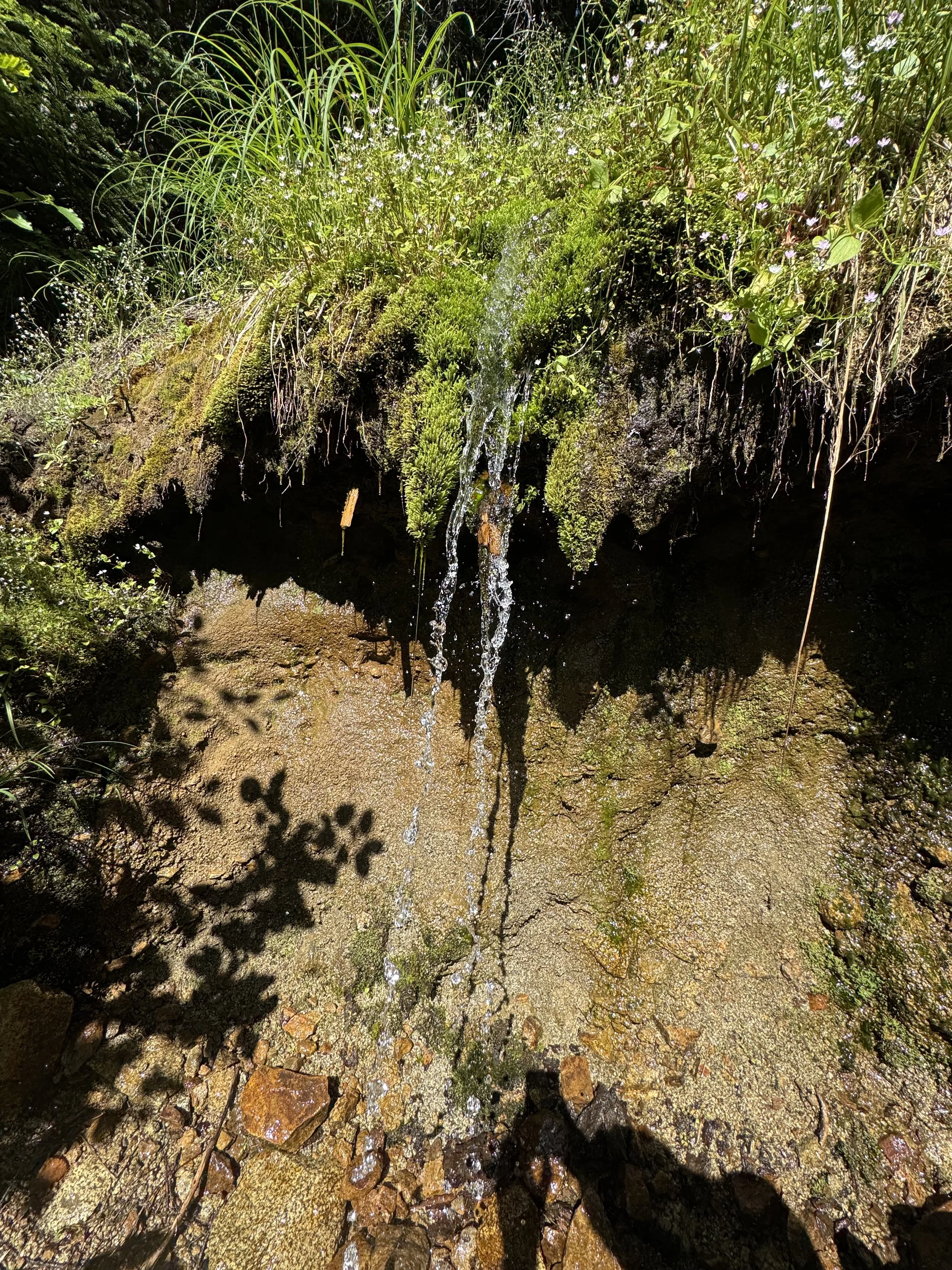
Water Source!
Overall, it was an awesome day. The Ridgeline Traverse is some pretty legit terrain, and you're out there. I ran into quails, woodpeckers, and various other birds I had never seen before. Water is a serious issue. I would recommend you bring at least 4 liters per person if doing this route. I don't drink a lot of water, and I had drunk through all 4 liters by the time I got back to Thompson Point. Serious route-finding and bushwacking experience is needed for this peak, along with a willingness to fight through trees (each of my arms got about 15 new scratches). But for those who are willing to deal with all that, may I recommend Russian Butte! As always, Happy Hiking and stay safe.
Final Stats: 19 Miles - 7000 Elev Gain - 14:30 Car to Car