Mount Howard/Mastiff WA
July 24, 2025
Hi, we're the Mountain Goats (Terrence), and today I solo climbed Mount Howard and Mount Mastiff, stopping at Crescent Lake along the way. My original idea was to do Mount Mastiff, Mount Howard, and Rock Mountain in that order, but this required around 8,000 feet of elevation gain, so I ended up just doing Howard and Mastiff.
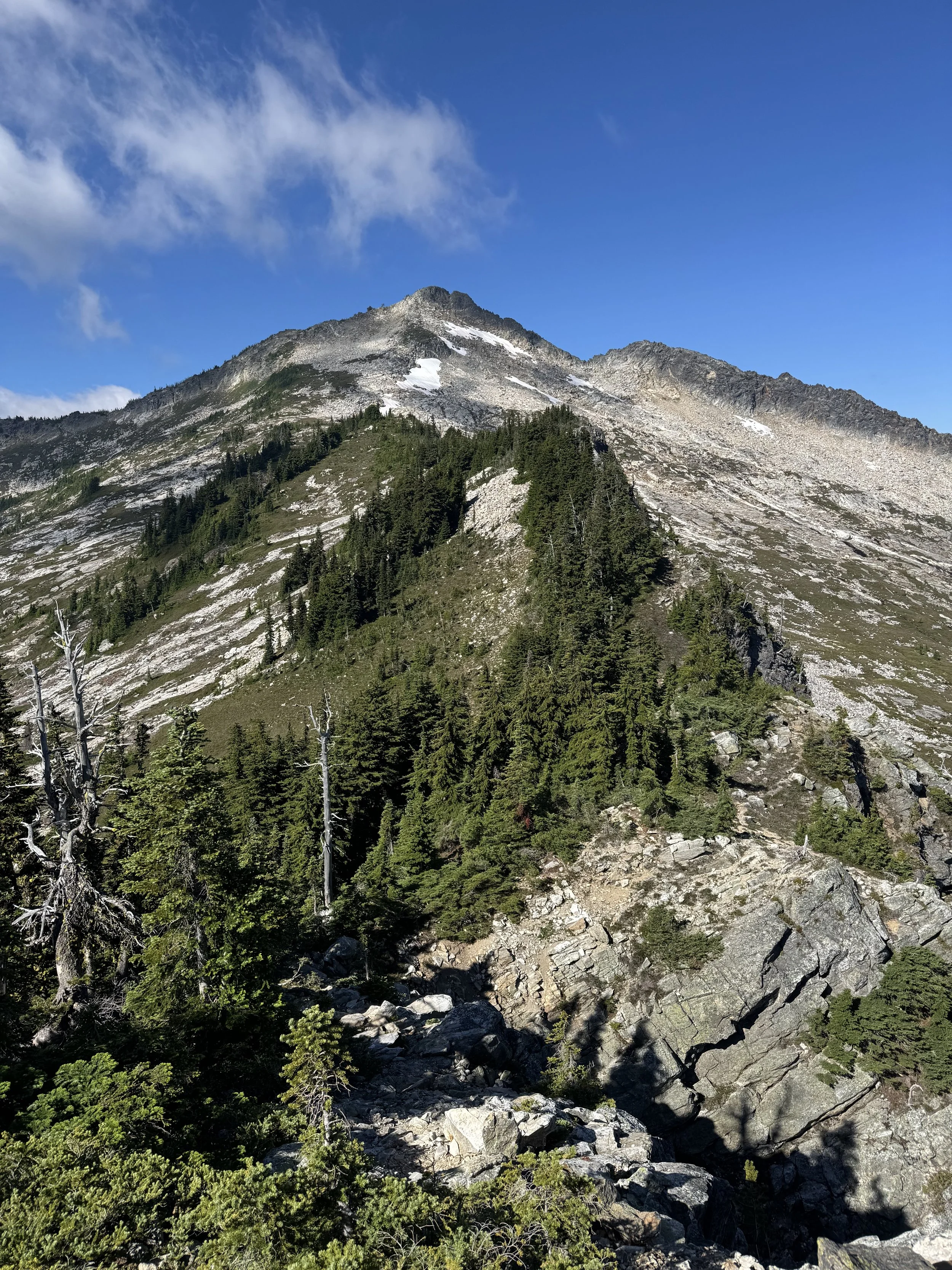
I left the Merritt Lake trailhead just after 5:00 AM, as the first light began to shine through the trees. The trail immediately begins to steeply ascend through a series of steep switchbacks as you ascend the valley towards the ridgeline. 2.1 Miles in and I reached the Merrit Lake trail split (4,800'), at this point I had already gained 1,800 vertical feet. Stay left and get onto the Nason Ridge Trail and continue to ascend as you leave the valley and get onto the ridgeline. .7 Miles later and you've reached another trail split (5,400'), to your right, a climber's trail continues to climb the ridgeline towards Mount Mastiff. I stayed on the Nason Ridge Trail and began to drop off the ridgeline into a new valley.
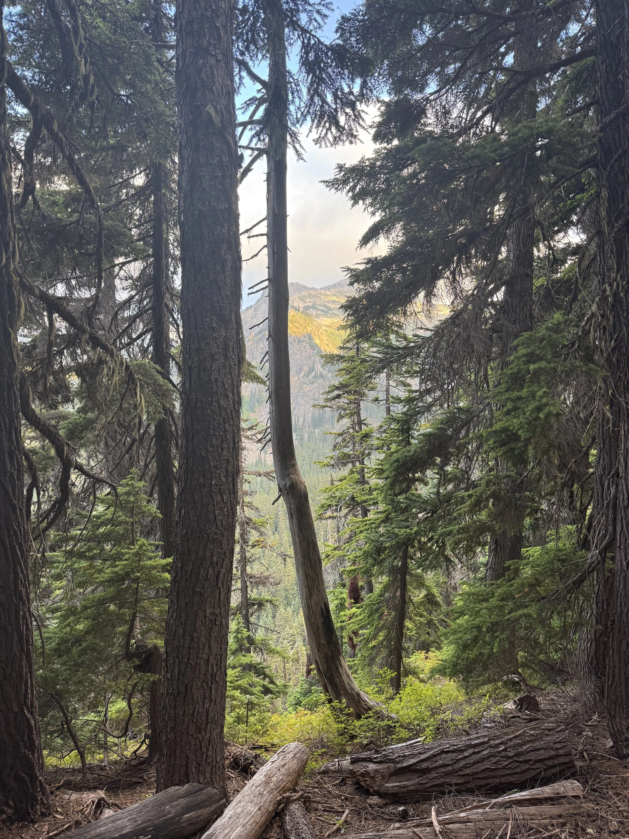
Rock Mountain peeking through the trees
You began to slowly descend for half a mile before steeply dropping 400 feet in about .3 miles down to Royal Creek. Rock Mountain dominates your views from across the valley as you descend. Once at Royal Creek (4,900'), the terrain gets quite swampy and buggy. Luckily, this is short-lived as you begin to ascend through the forest towards Crescent Lake.
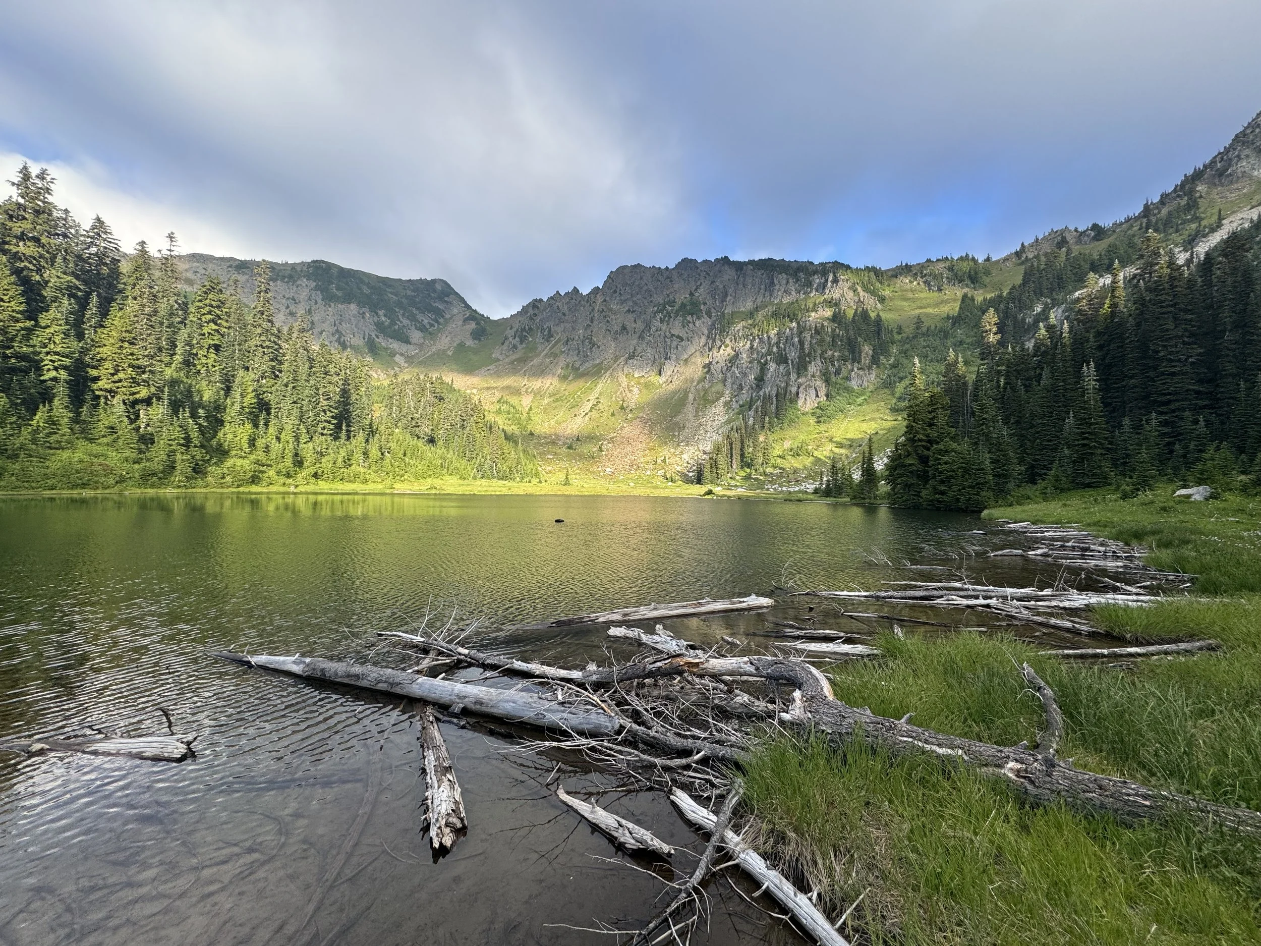
Cresent Lake
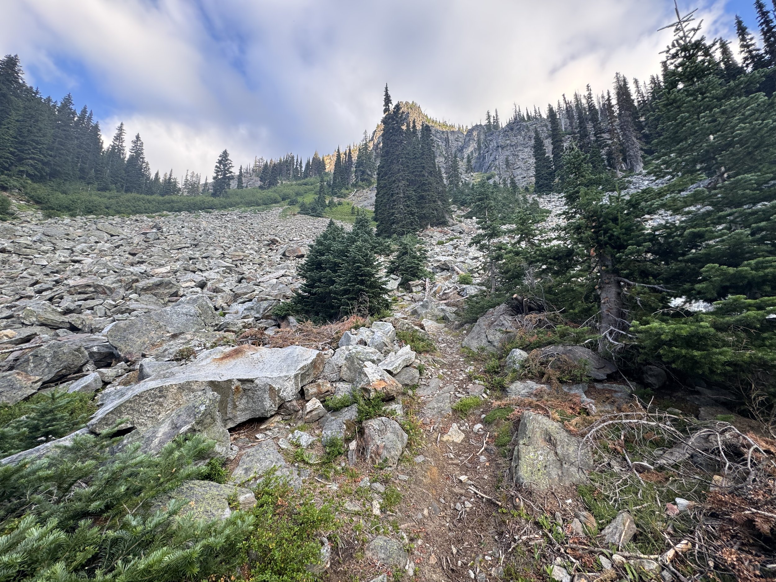
Up I go
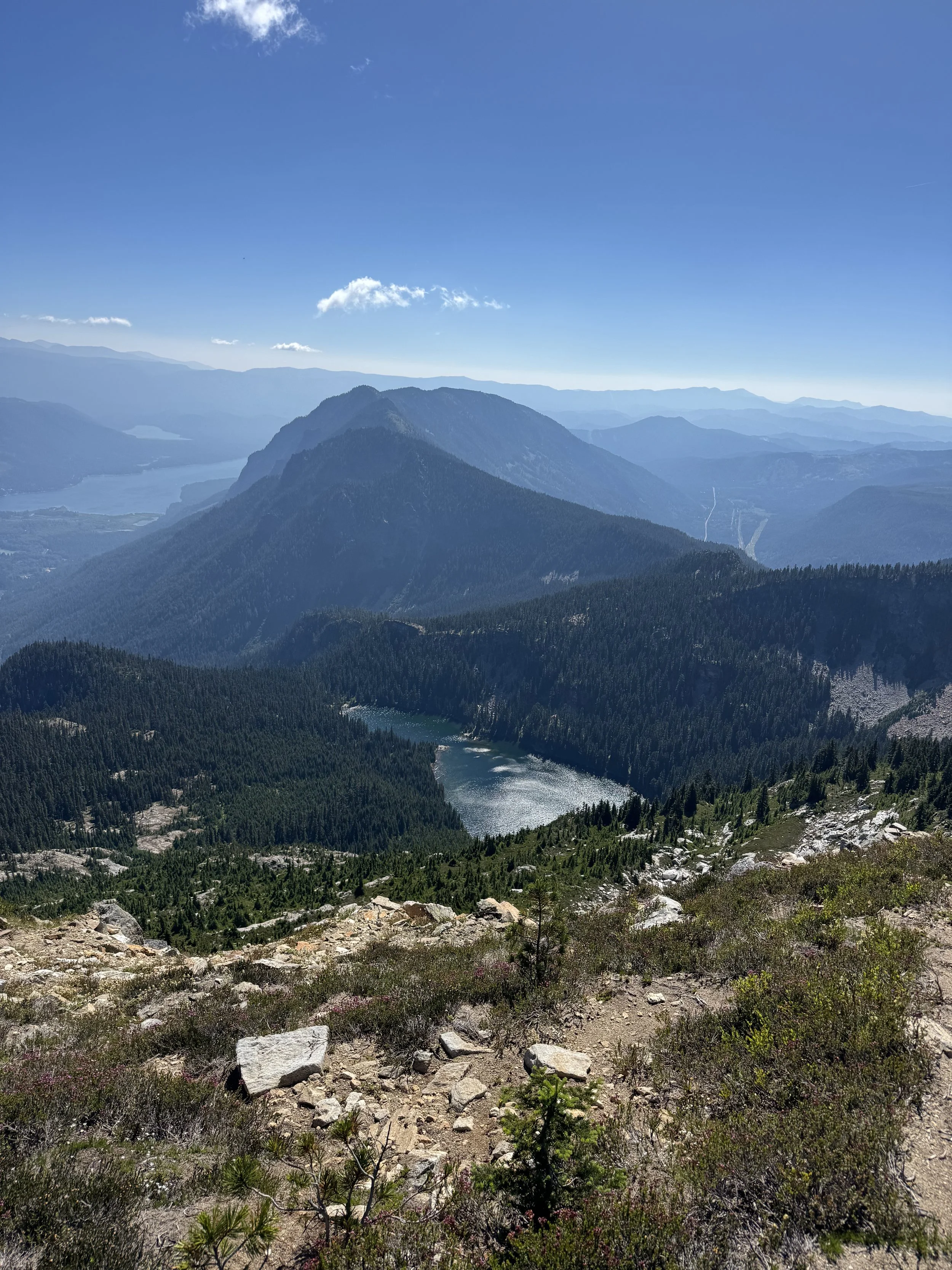
Just over 5 Miles after leaving the trailhead, I arrived at Crescent Lake, a murky green lake nestled between Mount Howard and Rock Mountain. Crescent Lake, the area surrounding it (nice meadows and grassy fields), is quite stunning. Unfortunately, this type of terrain breeds mosquitoes, making it almost impossible to enjoy the scenery. From the lake, I attempted to locate the climbers' trail North of the Lake. After a bit of bushwacking and boulder hopping, I was able to find a way under a band of cliffs and followed it, and it steeply ascended through a chute where there were plenty of handholds. At around 6,000 feet, the slopes became more gradual, and I was easily able to follow the trail upwards. By this point, visibility was 0. Mount Howard was completely hidden in the clouds. Before everything disappeared, I was able to see Rainier, Big Chimakum, Daniel, and Hinman. Daniel stole the show as usual.
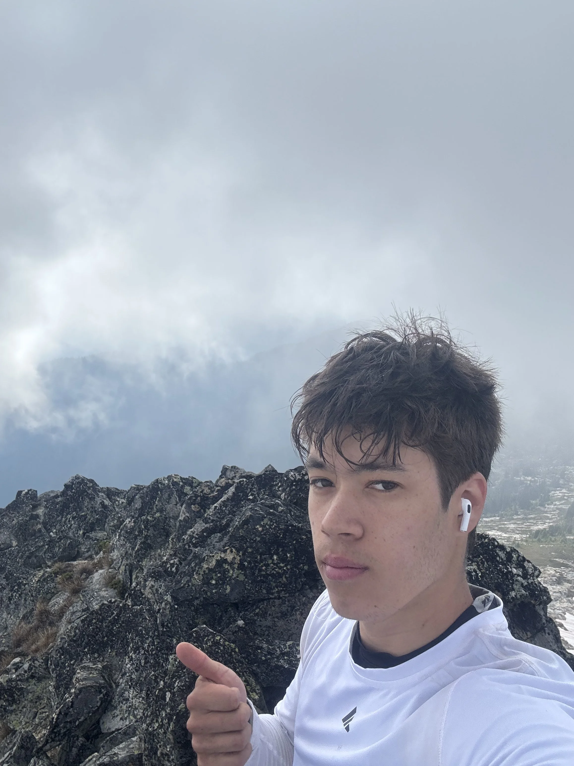
Wow what a view
At around 6,500 feet, the route hits a boulder field, and I simply boulder-hopped to the summit. Luckily, looking North, the weather was a lot clearer and I was able to see the whole ridgeline towards Mount Mastiff. After signing the summit register, I dropped off the East side of the peak and made my way down to the ridgeline. Once I was able to get off the boulder field below Mount Howard and onto the more meadowy ridgeline down below the traverse towards Mastiff, it was a blast. By this point, the weather had cleared up, and Glacier, Rainier, and all the surrounding mountains were now visible.
Looking back at Howard from just under Mastiff
The ridgeline got a bit cliffy as I neared Mastiff, so I dropped off it down to 6,250' before reascending it and following a fairly prominent climbers' trail past some cliff bands. Once past the cliffs, I simply followed the climbers' trail through brush and a few small boulder fields to the summit.
Mastiff has a nice flat summit that's great for sitting. Lake Wenatchee and Lost Lake are visible from the summit, as well as every mountain previously mentioned. From Mastiff, I continued along the climber's trail towards the ridgeline and the Nason Ridge Trail. The trail is pretty basic until you get close to Point 6,125 along the ridgeline. The trail is quite hard to follow here, and I ended up going too low, which caused me to have to climb up some pretty slippery, steep dirt to get back on route. One past this section, the route flattens out as you gradually descend the ridgeline to the Nason Ridge Trail. Once back on the trail, it's a simple walk in the park back to the car. I was able to make solid time down from the Merrit Lake trail, getting to the trailhead at 12:30.
Meritt Lake
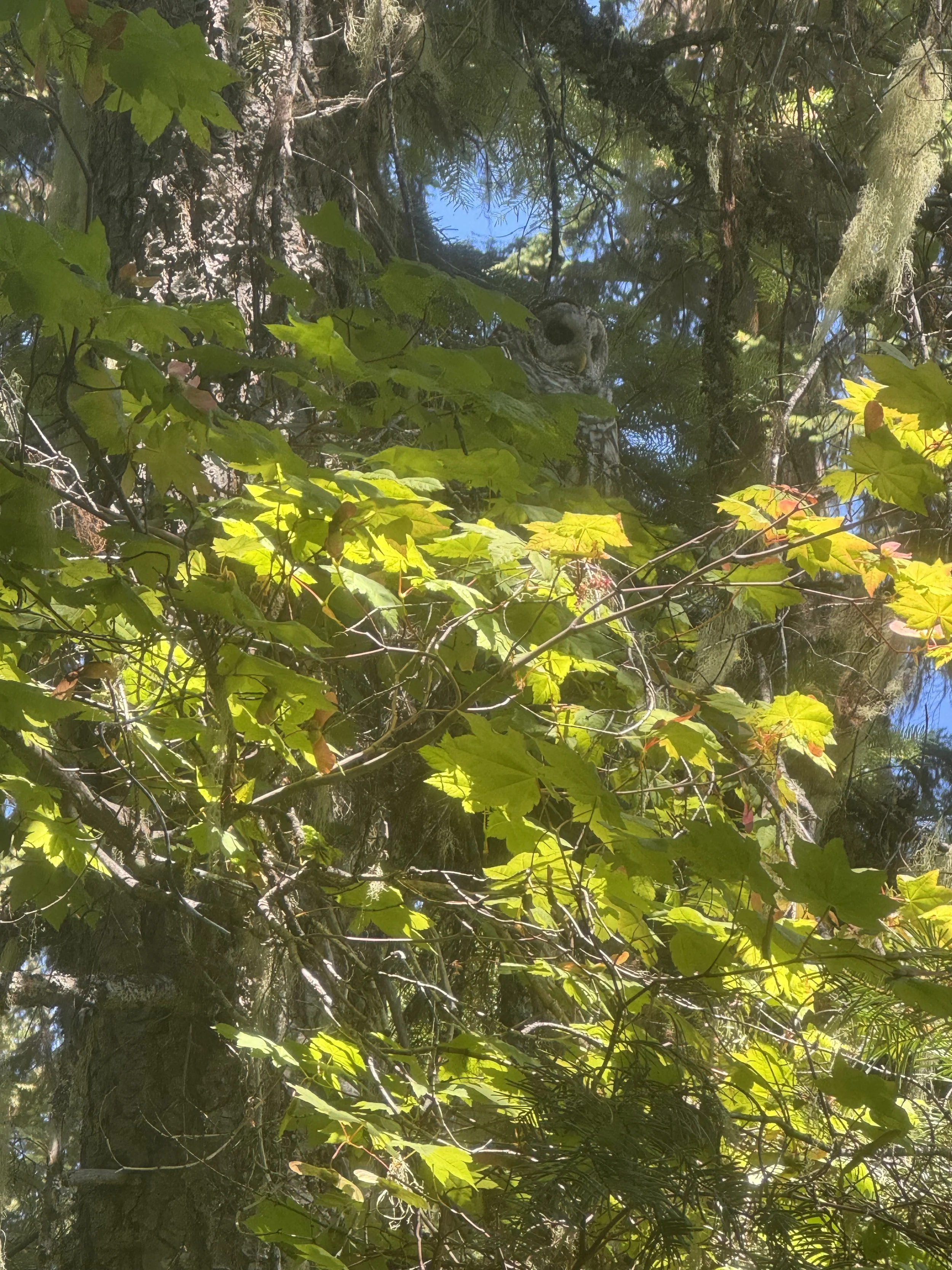
Spot the owl!
Overall, the traverse makes this hike well worthwhile. Doing Mount Howard first allows you to bypass regaining 600 vertical feet, which is great. If you stay on route, this is a simple class 2+ day, although it's quite easy to find yourself off trail and in some class 3 situations. As always, Happy Hiking and Stay Safe!