Treen Peak WA
6/26/26
Treen Peak is a seldom-visited mountain within the Alpine Lakes Wilderness. The easiest route consists of steeply ascending 3,500’ up to Green Ridge before hitting a tarn with stunning views of Mount Garfield. From there, one must drop 800’ down to Upper Garfield Lake before bushwacking over to Charlie Brown Lake and ascending the last 1400’ to the summit of Treen. Sounds easy enough, right?
I rolled into the “trailhead,” a pullout about 100’ away from the trail, just before 8am. I walked back down the road before hopping onto the unmaintained “Green Ridge Trail”, which immediately steeply ascended the lower forested slopes. The trail is shockingly nice; the only sign of being unmaintained was a few blowdowns across it. At around 2,800,’ the views behind me began to open up as Preacher Mountain and Stegosaurs Butte became visible. At around 3,400, I hit a cutoff as the Green Ridge Lake Trail veered off to the right while the Green Ridge Trail continued upwards. At 4,100’, I reached the ridgeline and followed it to 4,800’; at some point, the Green Ridge Trail ended, but an unmarked climbers' trail continued in its place. Just stay on top of the ridge. Once at 4,800’ I broke out and descended through some meadows onto the tarn. The emerald tarn, at 4,600, is located between Mount Garfield and Treen Peak. One could sit here for hours and just gaze at Garfield's vast rock walls.
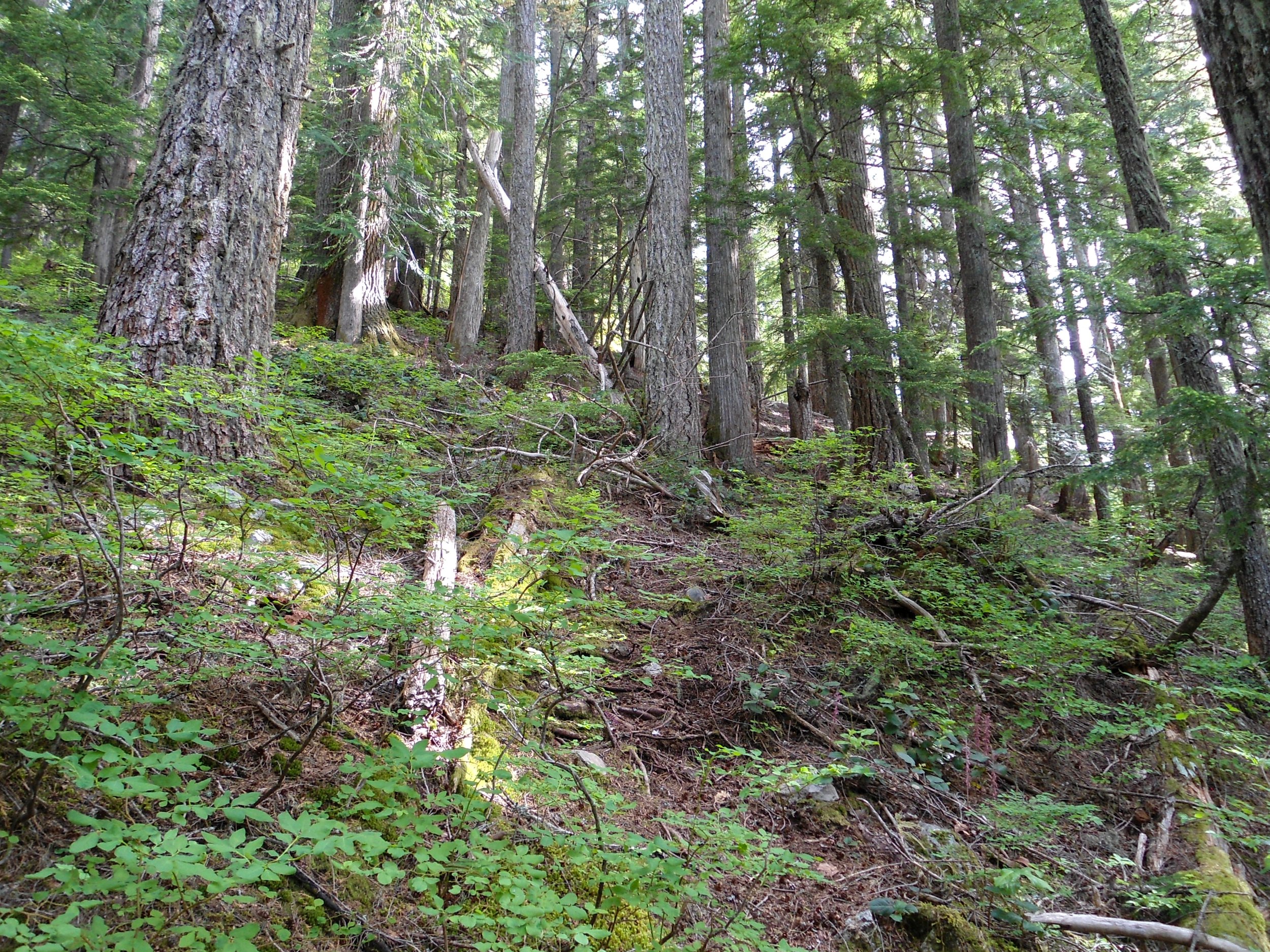
Ascending the lower slopes
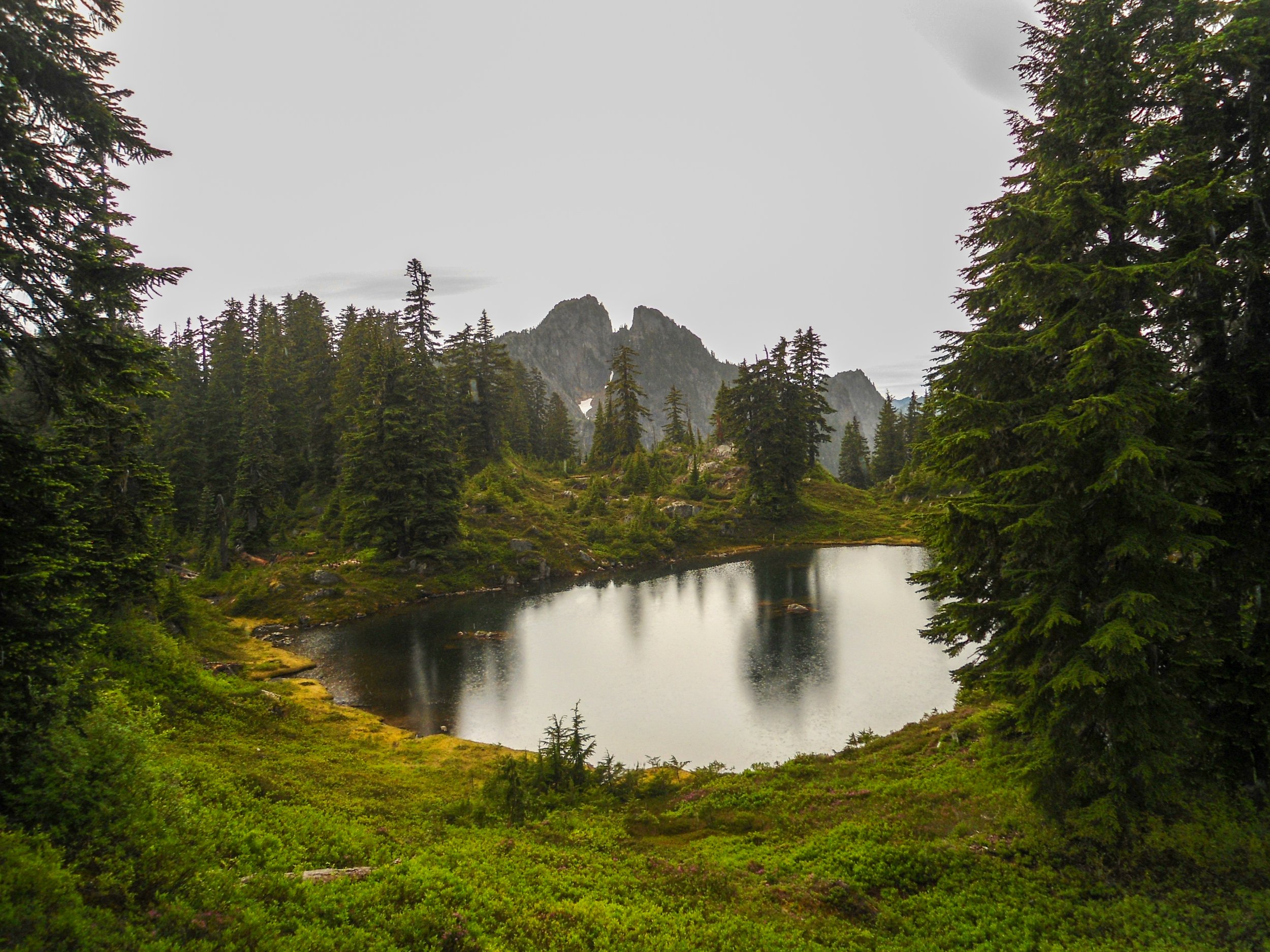
Garfield and the tarn
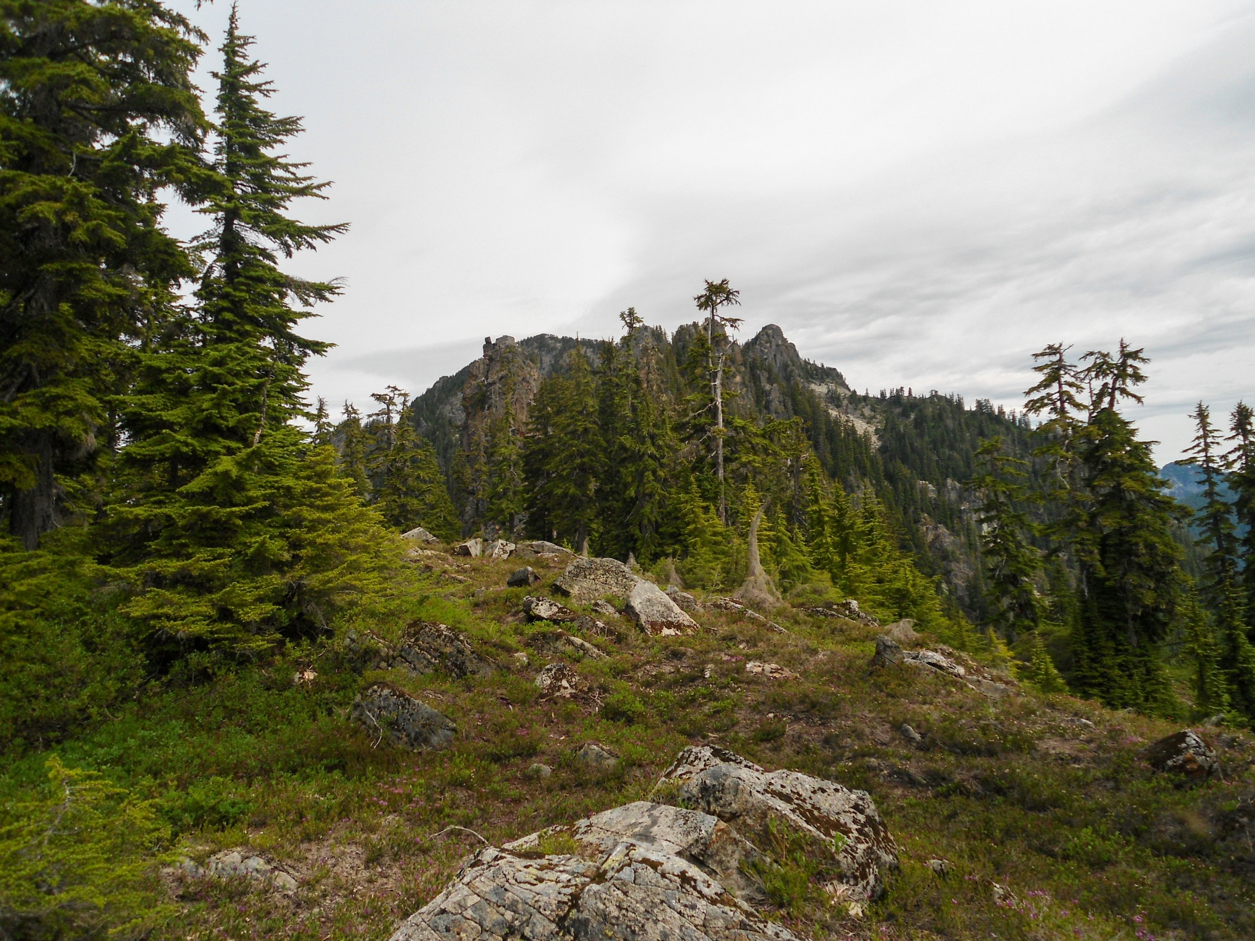
Treen Peak
Following the tarn, I began the steep descent to Upper Garfield Lake. After originally getting cliffed out, I got on route as I followed a dry creek bed down to the lake before traversing through an alder patch onto a boulder field just before the shoreline. Upper Garfield Lake is a medium-sized lake, with Mount Garfield acting as a stunning backdrop. Once on the boulder field, I continued to traverse northwest through meadows until I hit a creek that flowed from Charlie Brown Lake. Here I turned northeast and followed the creek up to the lake. Charlie Brown Lake is a small green lake located at the foot of Treen Peak. The lake, while small, was clearly stocked with trout, as fish were jumping every 30 seconds the whole time, I was there. I ate lunch and filtered water here, which was shockingly good.
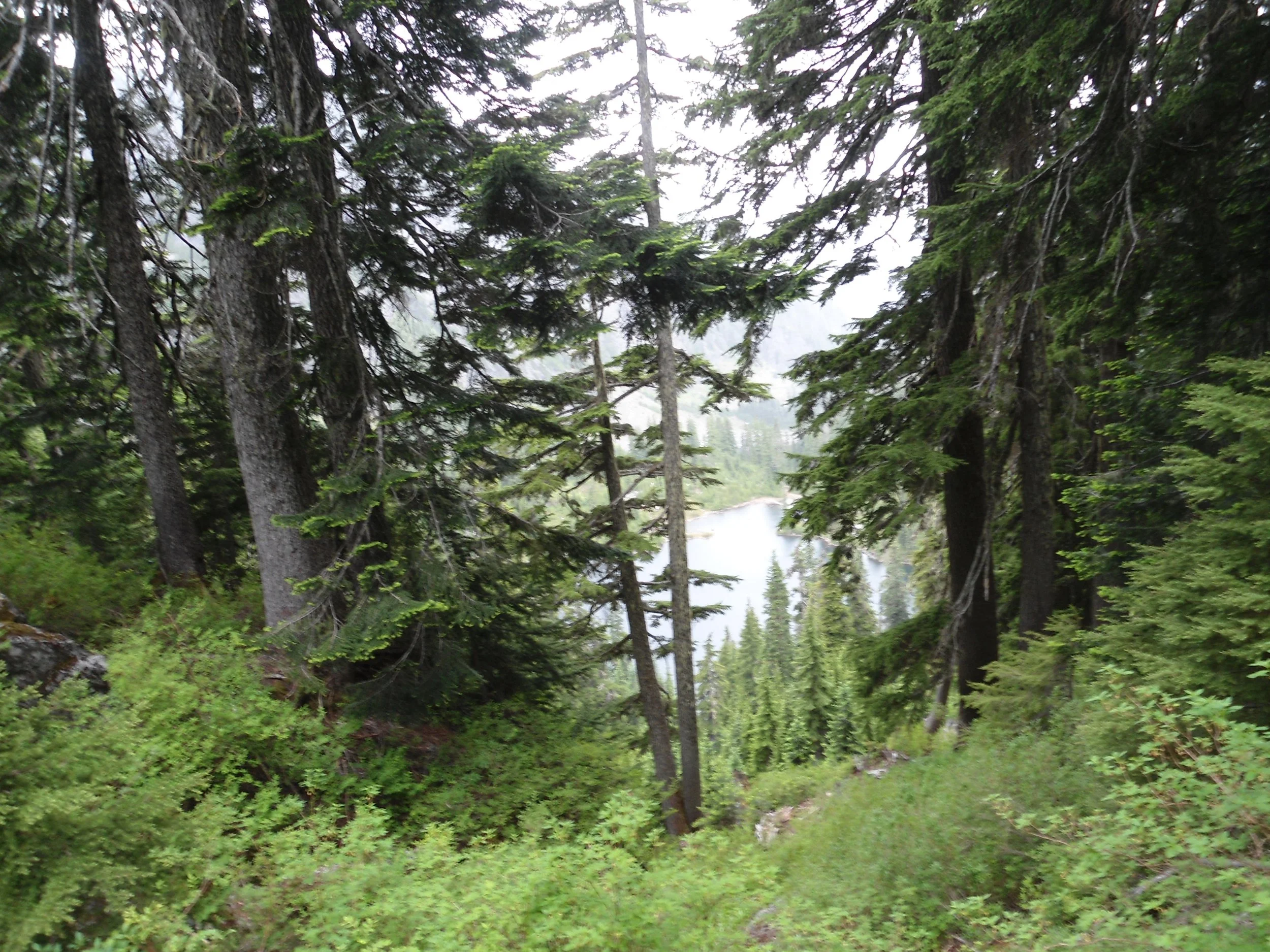
Descending down to Upper Garfield
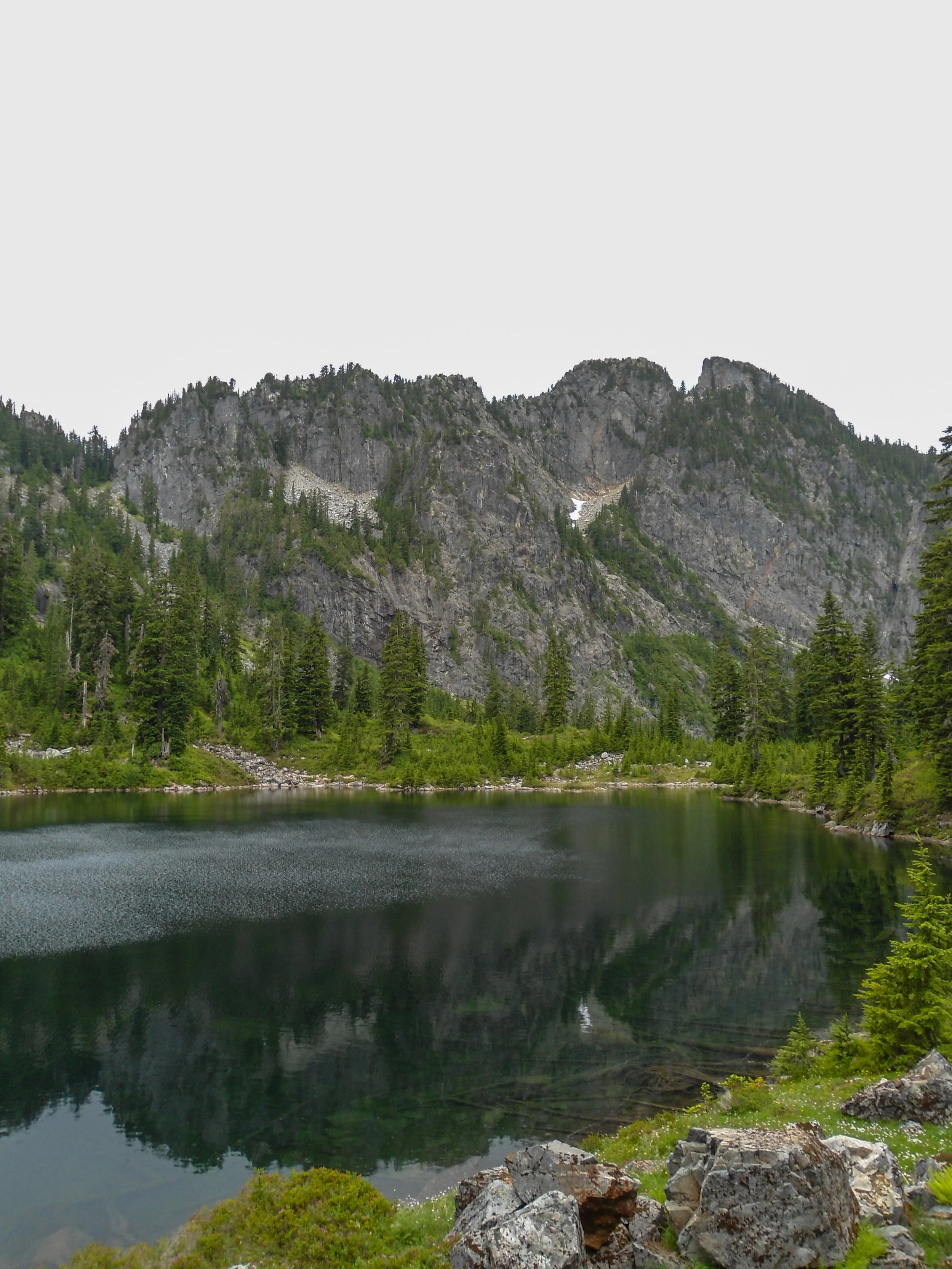
Upper Garfield Lake
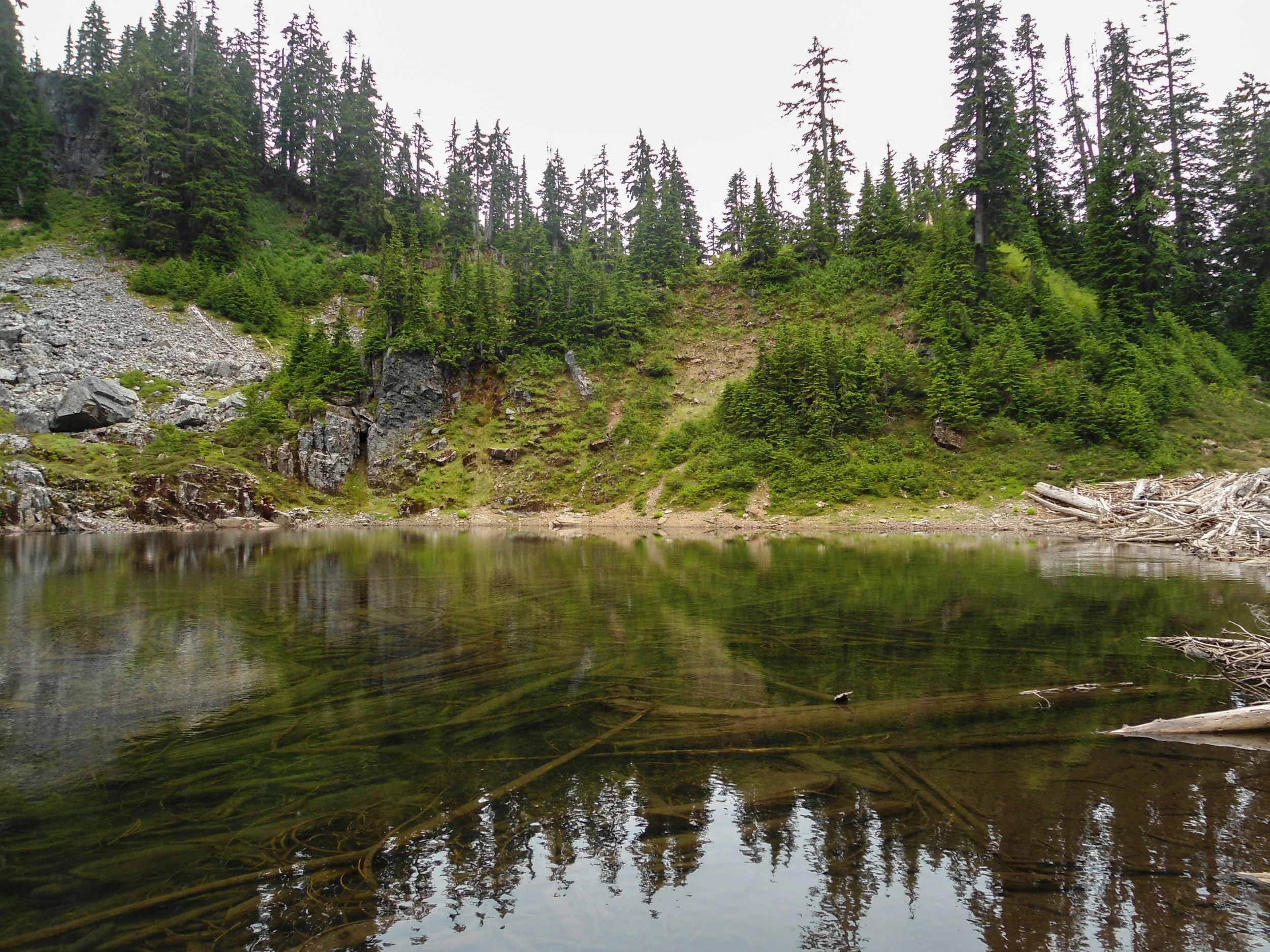
Charlie Brown Lake
From Charlie Brown Lake, the route continues to the left, ascending a boulder towards a jagged rock formation. 100 feet below it, turn right and ascend past it, and gain a mini ridgeline at 5,100. There, I came face to face with another rock formation. Stay to the left and bypass it by either tiptoeing along a rock ledge or by dropping down to the boulder field and traversing. I chose the rock ledge. Once past this obstacle, I veered slightly northeast and ascended some extremely steep dirt slopes all the way up to the summit ridge at 5,600’. From there, I simply walked to the summit, which is marked by a Nalgene summit register.
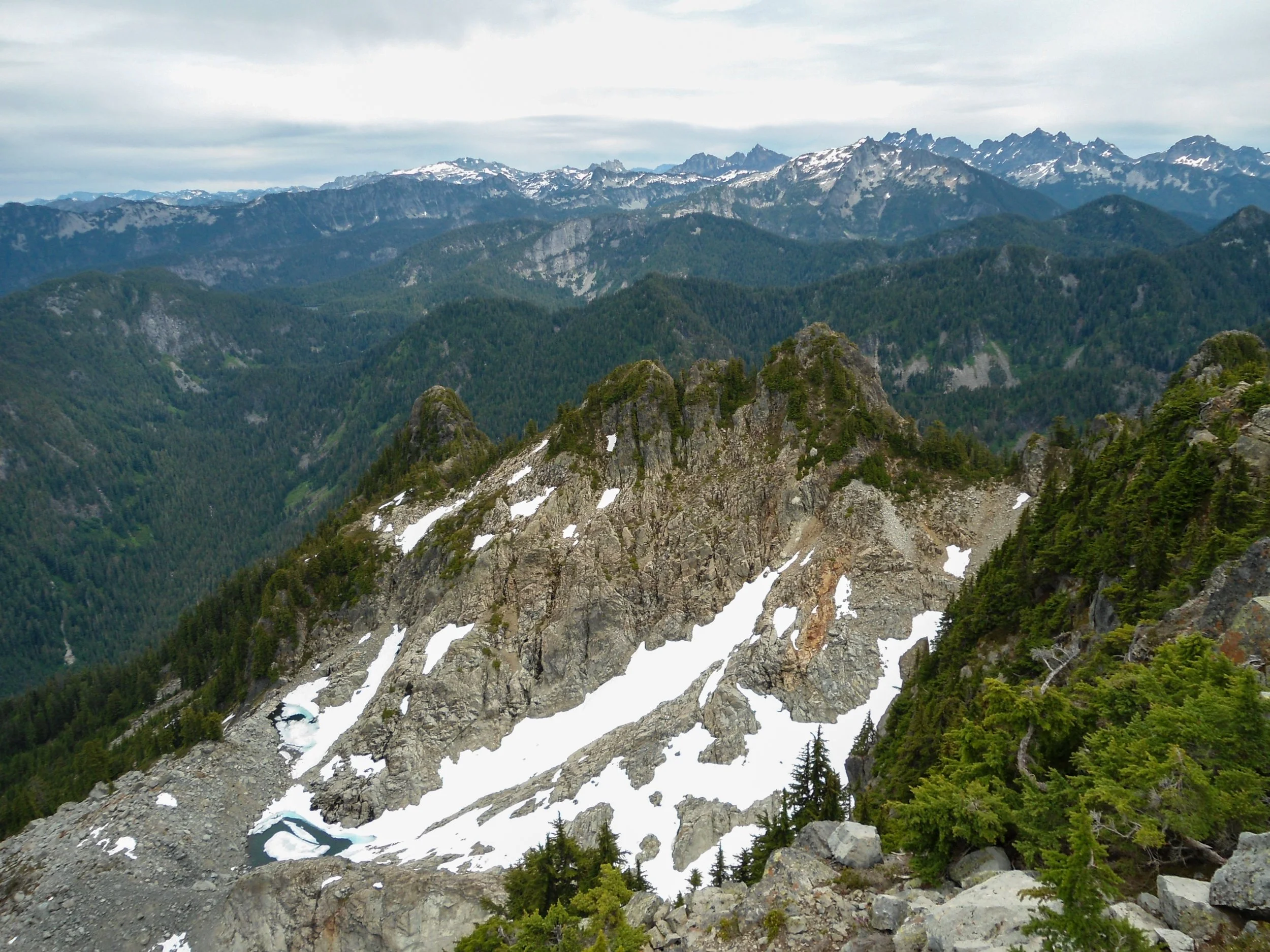
Backside of Treen
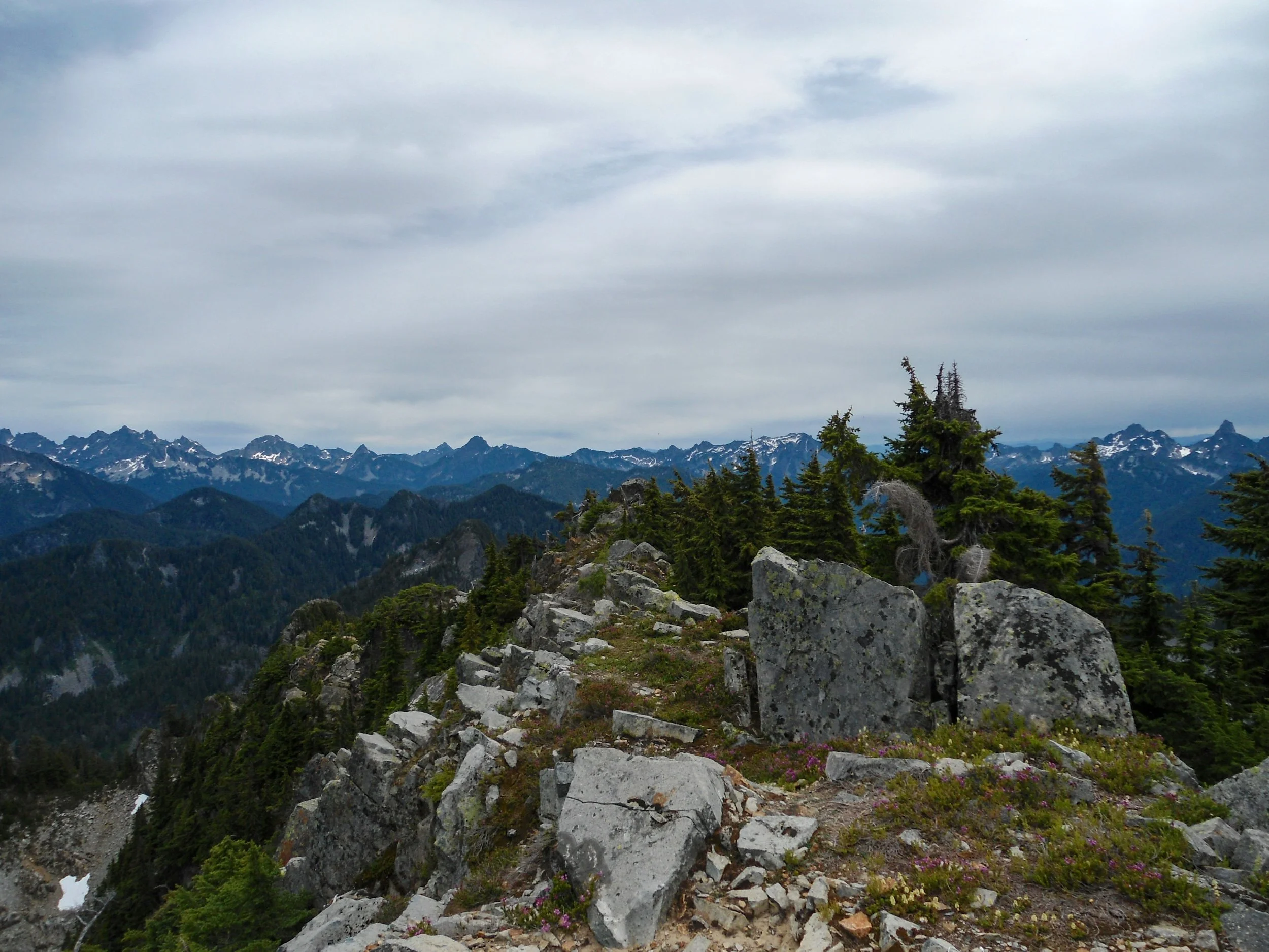
Summit shot
The views were awesome; there is no nearby higher peak, so Treen has true 360-degree views into the Alpine Lakes and Snoqualmie Pass Peaks. Baker, Rainer, and Glacier were also visible. The summit was the only place where I didn’t get swarmed by bugs, so I made sure to take my sweet time up top before starting the descent.
The descent down to Charlie Brown Lake was rough. The sheer steepness and lack of traction on the dirt led to a few minor slips, but I took my time and made it down in one piece. Once I made it back to Upper Garfield Lake, the rain began to come down, so I hustled back up to the tarn and the trail. Once back on Green Ridge, I flew down the trail making to my car just before 6pm.
Overall, this hike is definitely not for everyone; the steepness and lack of trail will definitely deter most people. However, if this is your thing, I’d recommend Treen Peak. The trail up to the tarn is in great condition, and once there, it isn’t terrible getting to Treen Peak. That said, I would highly recommend some experience with backcountry travel and bushwalking. The area is rugged and beautiful, with some seriously jaw-dropping vantage points of Mount Garfield. As always, Stay Safe and Happy Hiking.
9 Miles – 6,500’ Gain – 9:40 C2C
