Whitecap Mountain BC
July 30th, 2025
Hi, we are the Mountain Goats (Terrence and Nathan), and from July 29-30th, I (Terrence) climbed Whitecap Mountain, the highest point of the Bendor Range in the Coastal Mountains of BC. I know this is a site for hikes in Washington. However, since I left my house in Bellevue and hiked to the campsite the same day, I figured it was fair game.
The first obstacle was getting to the trailhead. According to Apple Maps, it would take over 7 hours to arrive there. I left just before 6 am with hopes of reaching the trailhead around 2 pm. After sitting through rush hour traffic in Vancouver, I got on the Sea-to-Sky Highway and headed north towards Whistler and Pemberton. The views to the west were jaw-dropping. The mountains of Bowen, Gambier, and Anvil Islands pierced the skyline, but the views got better as I entered Squamish. Mount Garibaldi immediately stole the show from the NE. Its twin peaks and snowy ridgeline reminded me of the rugged North Cascades peaks. But the real show-stopper was the Tantalus Range to the North, some of the most stunning mountains I've ever seen in person; the photos don't do them justice. 5 hours after leaving Bellevue, I arrived in Pemberton. I filled up on gas and headed through Pemberton Meadows towards the forest road. Wedge Mountain (9,482) sat behind me, creating an impressive visual on the drive back.
15 miles from Pemberton, I turned onto the Upper Lillooet FSR for about 6 miles before heading onto the Hurley FSR for 20. The Hurley FSR was washboard central and slow going. It's one saving grace, a lack of potholes, something that the roads further up wouldn't have. After gaining an astounding 3000 vertical feet and dropping into another valley, I turned off the Hurley FSR and onto the East Hurley FSR, which I would take into the mining town of Bralorne with under 100 residents. This road was less bumpy but had some serious potholes that came out of nowhere. Luckily, as I neared the town, the road improved.
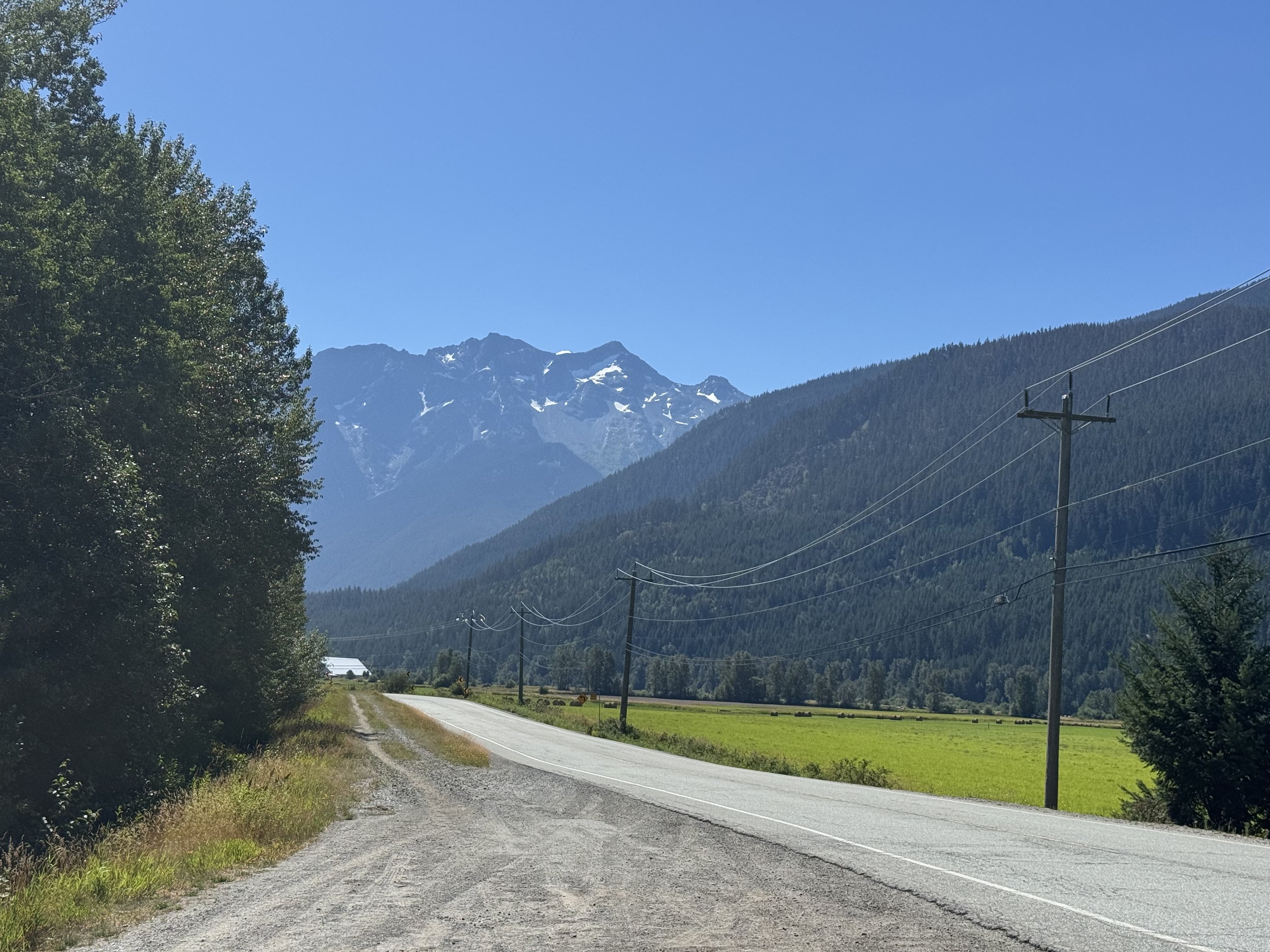
Outside of Pemberton
The town of Bralorne, which peaked at 1000 people in the 30s/40s, is now a much smaller but cool mining town with a bar and a museum. I took the Pioneer Mine Road through the town before cutting off onto an unnamed road that connected to the Kingdom Lake FSR. This would lead me to the TH. The connector road was extremely windy, rocky, and steep. My Subaru Outback did fine, but an SUV is needed to climb safely. Once on the Kingdom Lake FSR, it was just 8 miles to the end of the road and the trailhead. 1.5 miles from the trailhead, there's a washout section, but it was easy to navigate. Over 8 and a half hours after leaving Bellevue, I finally made it to the Whitecap Mountain trailhead. I got on the trail around 2:30.
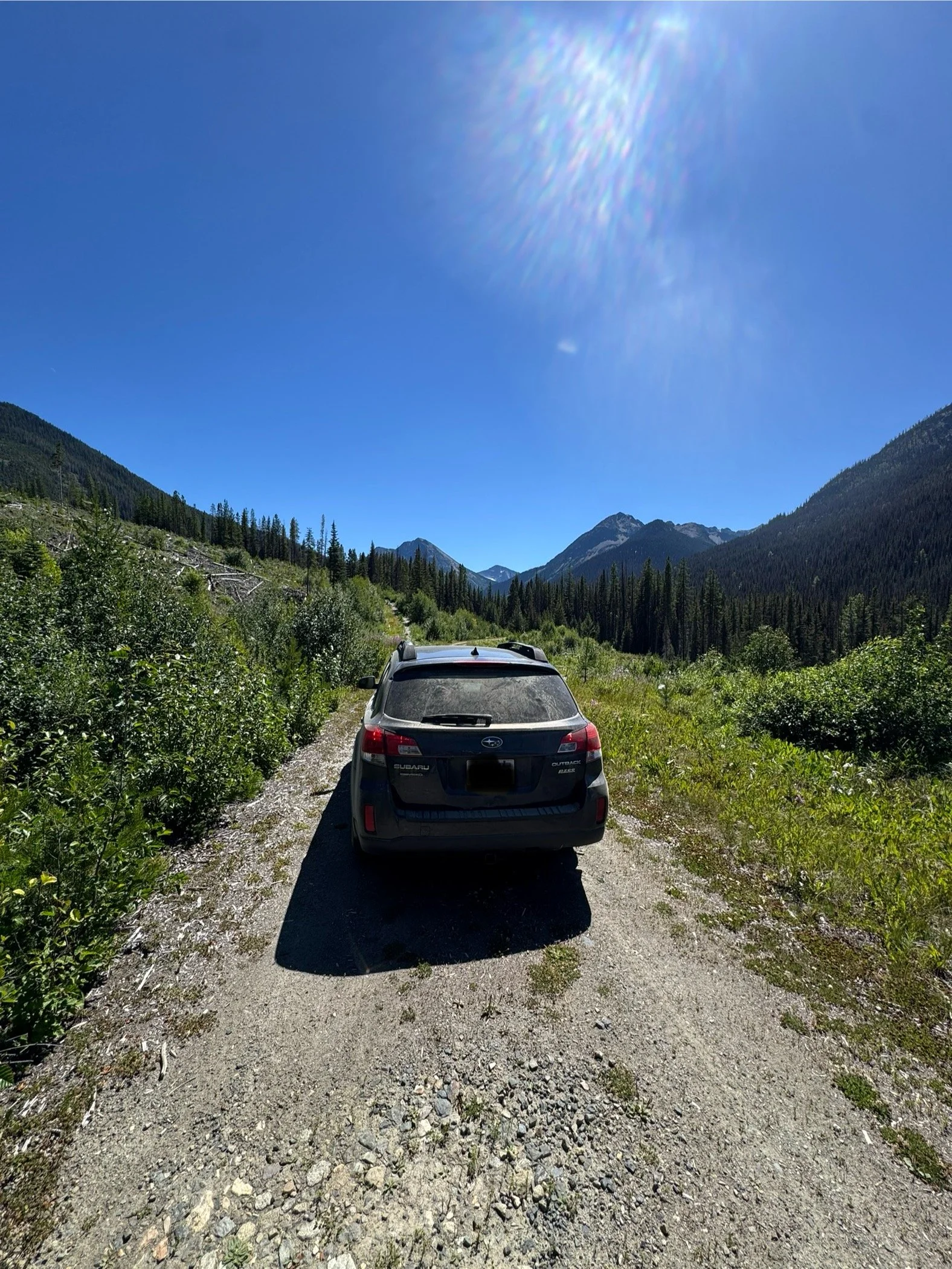
Just before the “TH”
There are 2 routes that I could take to the valley where I'd spend the night. The first route stayed low down on the valley floor parallel to Standard Creek before ascending McGilvary Pass and another ridgeline. It then drops down into the previously mentioned valley. The 2nd route and the one I took stayed high, ascending the upper valley slopes before traversing to said ridgeline and dropping into the valley.
The trail starts up the valley floor, gaining 1000 feet in 1.7 miles. The part of the trail navigates through the forest and is heavily overgrown in some spots, with constant blowdowns. 1.7 miles in, I hit the cutoff. I took a sharp left and got on the climber's trail, aiming at the upper valley slopes and meadows. After heading north for 500 feet, the trail turns East, running parallel to the 1st trail. At about 6,000 feet, I finally broke out of the tree line and onto the lower meadows. The trail through the meadows can get quite faint and tricky to follow. Luckily, the terrain is easy to navigate, so if you get off the trail, getting back on is easy. At around 6,500 feet, the meadows get rockier as you leave off the lower meadow's brushy plants and onto grass and small talus fields.
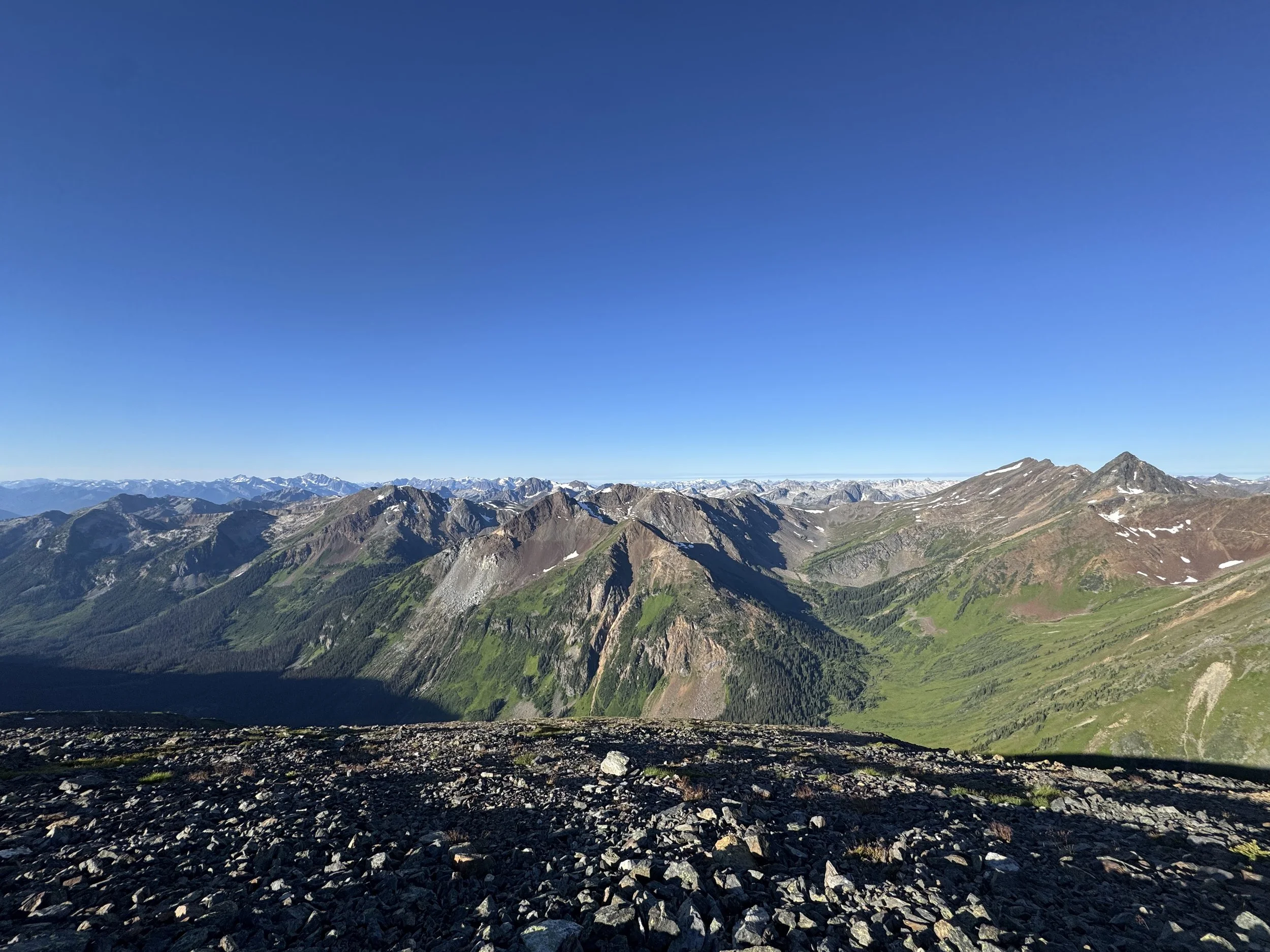
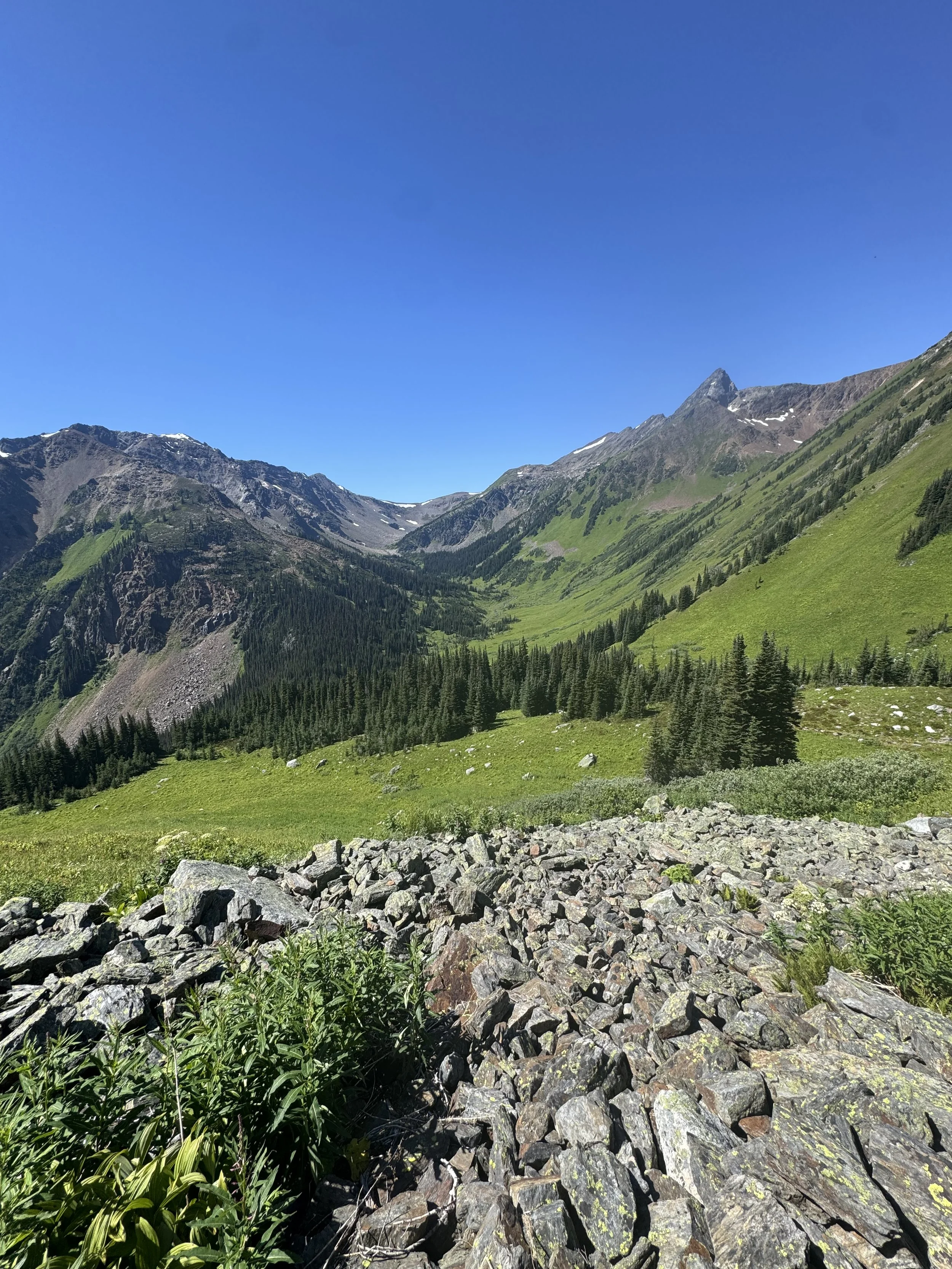
Views really beginning to open up
Whitecap in all her glory
As I began ascending higher and higher, the views opened up. The views to the south across the valley were unbelievable. The rugged rocky peaks of Taillefer, Prospector, Weinhold, and a few unnamed peaks are all around 7500-8100 feet tall. After about 2 miles of traversing east through the meadows, I had finally topped off at 7,400 feet. Below, sparkling in the distance, was a vast valley with bubbling streams and creeks. Above in the distance stood Whitecap Mountain (9573') dominating the horizon with its vast slopes and ridgelines.
I followed the trail as it dropped off the ridgeline before steeply descending to the upper valley floor through a series of switchbacks. Once on the valley floor, the trail follows Connel Creek as you descend heading towards Whitecap Mountain. Around 6,400 feet, I spotted a nice flat spot about 30 feet from Connel Creek that would work perfectly for my one-person tent. The sunset views of Whitecap were insane, as camping in the upper valley gave me an unobstructed line of sight to tomorrow's goal.
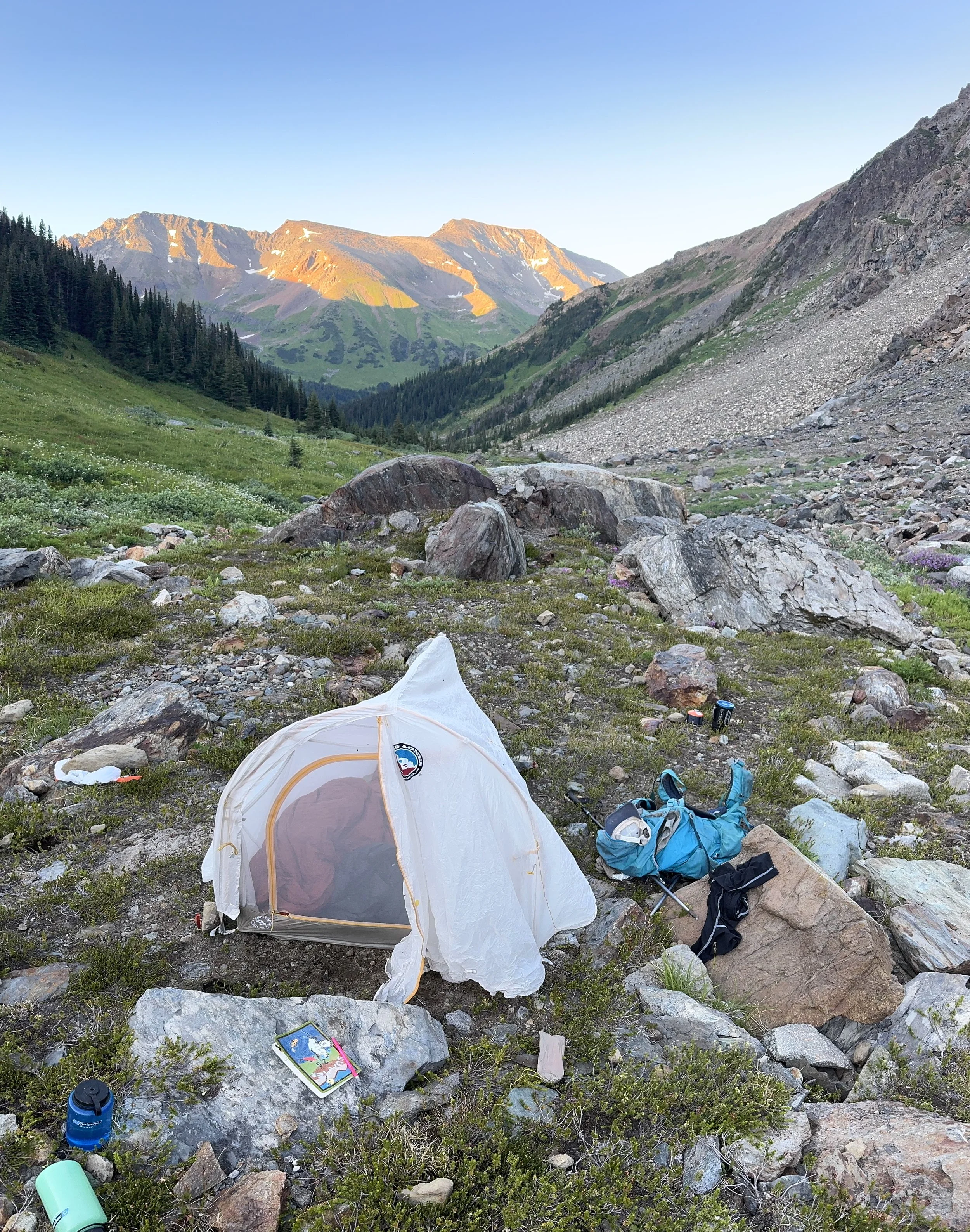
Camping spot
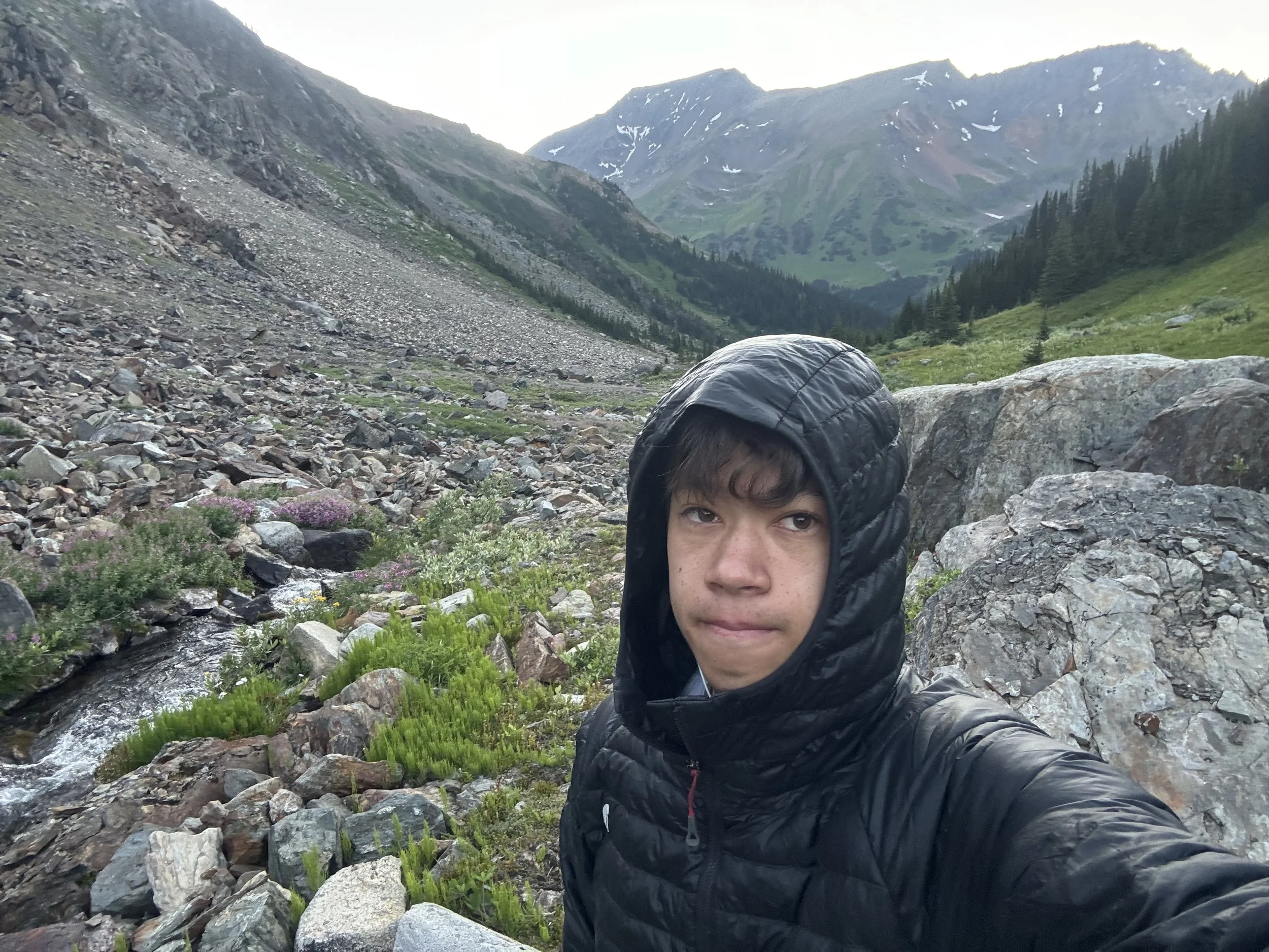
Morning Selfie
I woke up to my alarm around 5 am, made breakfast, and got on the trail around 5:45. I followed the trail as it descended to the bottom of the valley at around 5,700 feet. As I got lower and lower, the terrain turned wetter and wetter as I entered a swamp. This section wasn't fun. The trail must have been a magician - the way it kept disappearing and reappearing. Based on the routes I downloaded from previous ascents, other hikers were having similar problems. None of the tracks were in the same spot, which tells me finding the trail in this section is quite difficult.
After splashing my way through the swamp, the terrain dried up as I climbed towards Whitecap Mountain's lower slopes. After crossing Connell Creek one last time (6150' feet) (the trail was no longer existent at this point - just chose the path of least resistance), I was finally off the valley floor. I headed up through the meadows and picked my way through a few talus fields, and the slopes got steeper and steeper. At around 6400 feet, I reached the steepest section of the climb. The route took me straight up the meadowy chute, gaining about 800 feet in .2 miles. To your left is a grove of hemlock trees; this is where the climbers' trail is. Most people and I opt to head up through the meadows, as the climber's trail heads up into more slippery dirt and rock. The morning dew made the plants quite slick, and I was unprepared for how steep this section was; mostly, I was worried about getting down.
Looking down the valley
Summit coming into view
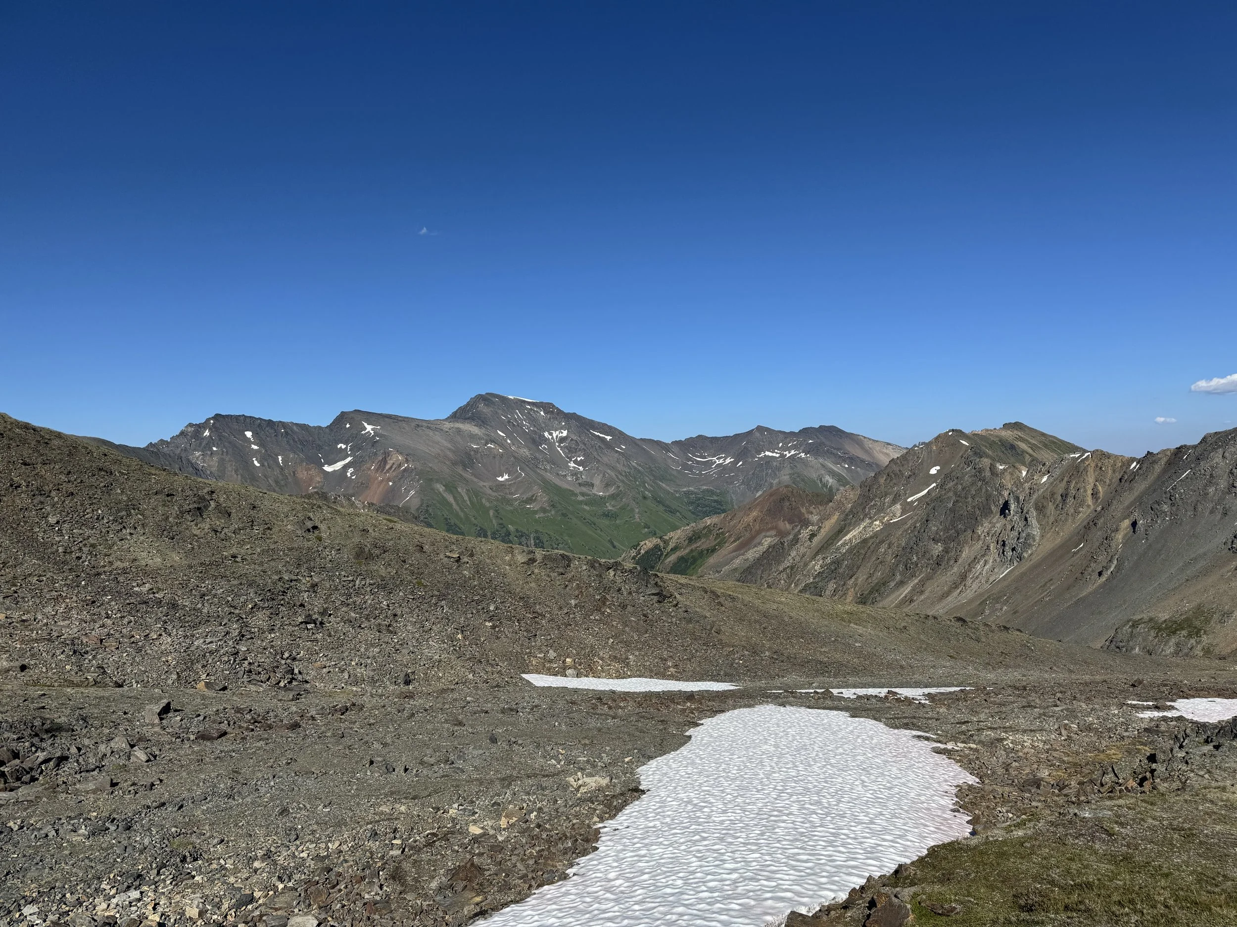
At 7,200 feet, the grade of the slope decreased as the meadows shifted from tall plants and grass to short grass and rocks. The terrain was quite similar to the upper meadows I traversed yesterday. At this point, I hopped on the climbers' trails as they headed NE. The views from this point are incredible. All the Southern Mountains (behind me as I ascend) are visible now (Wedge, Garibaldi, Skihist, and so many more). The sheer vastness of the BC mountains is jaw-dropping.
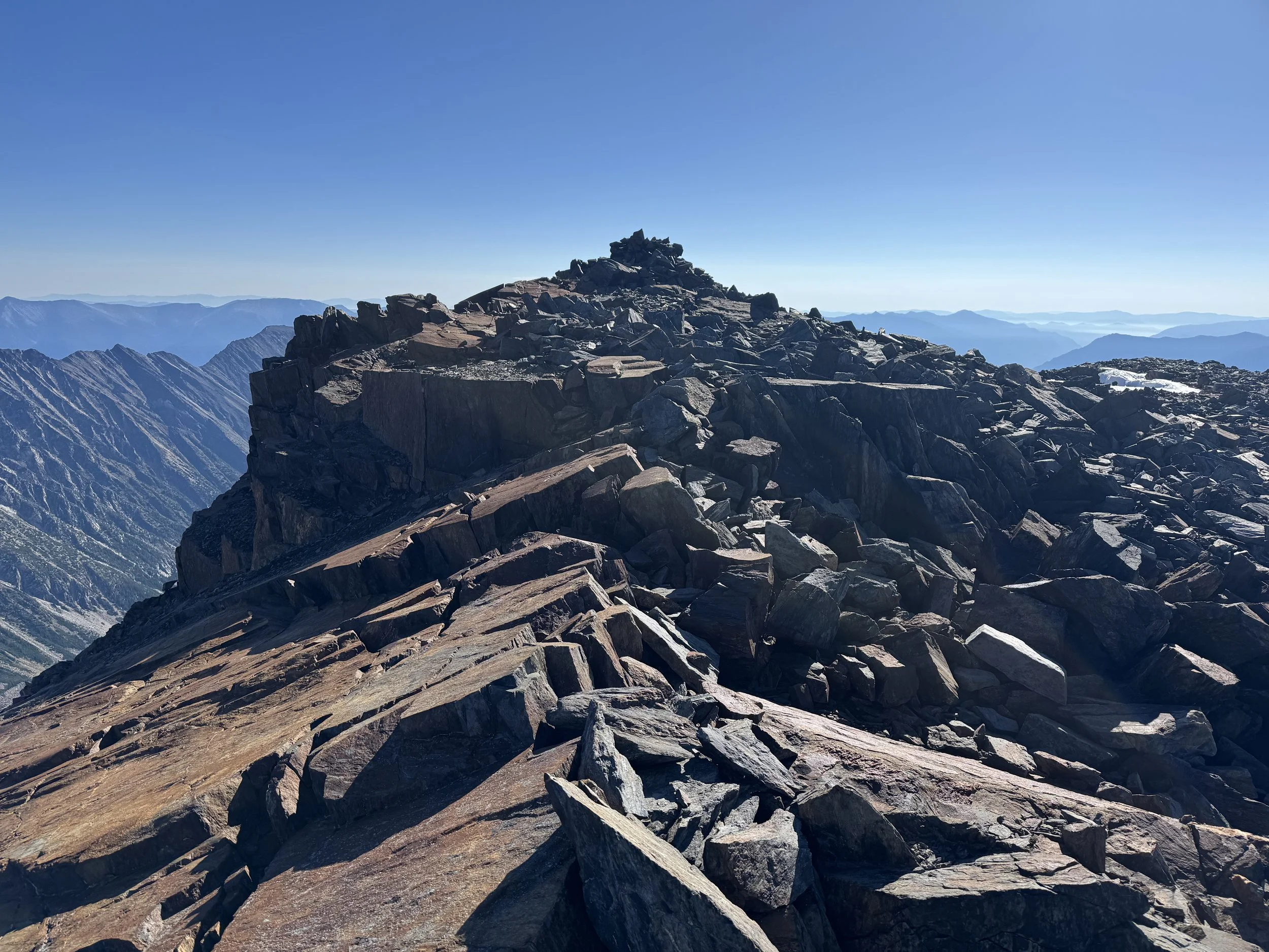
The Talus fields start at 8,100 feet. I suppose there's a trail somewhere, but I just boulder hopped East towards the ridgeline and a saddle underneath the summit at around 8,800 feet. Once at the saddle, I took a quick break to shoot some texts before continuing to ascend, always heading East. At around 9,200 feet, the route heads NE towards a false summit at 9,525. Once there, I simply walked East across some rocks to the true summit of Whitecap Mountain at 9,573 feet. I reached the summit just before 9 am, 3 hours and 15 minutes after leaving the campsite.
The views from the top are otherworldly. Whitecap is an ultra-prominent peak, with over 5000 feet of prominence. In simple terms, I could see everything from the top. The real stars of the show were the mountains to the Northwest, looking towards Waddington and Queen Bess. Unfortunately, neither were visible, but the rugged mountains and glaciers of the Homathko and Lillooet Icefields were breathtaking even from a distance. After signing the summit register and enjoying some summit trail mix and salami, it was time to head back down.
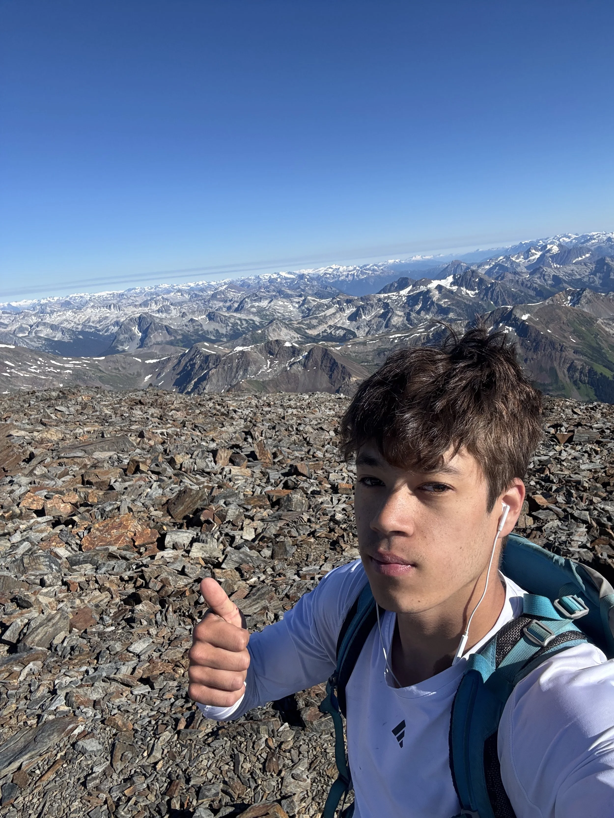
Summit selfie
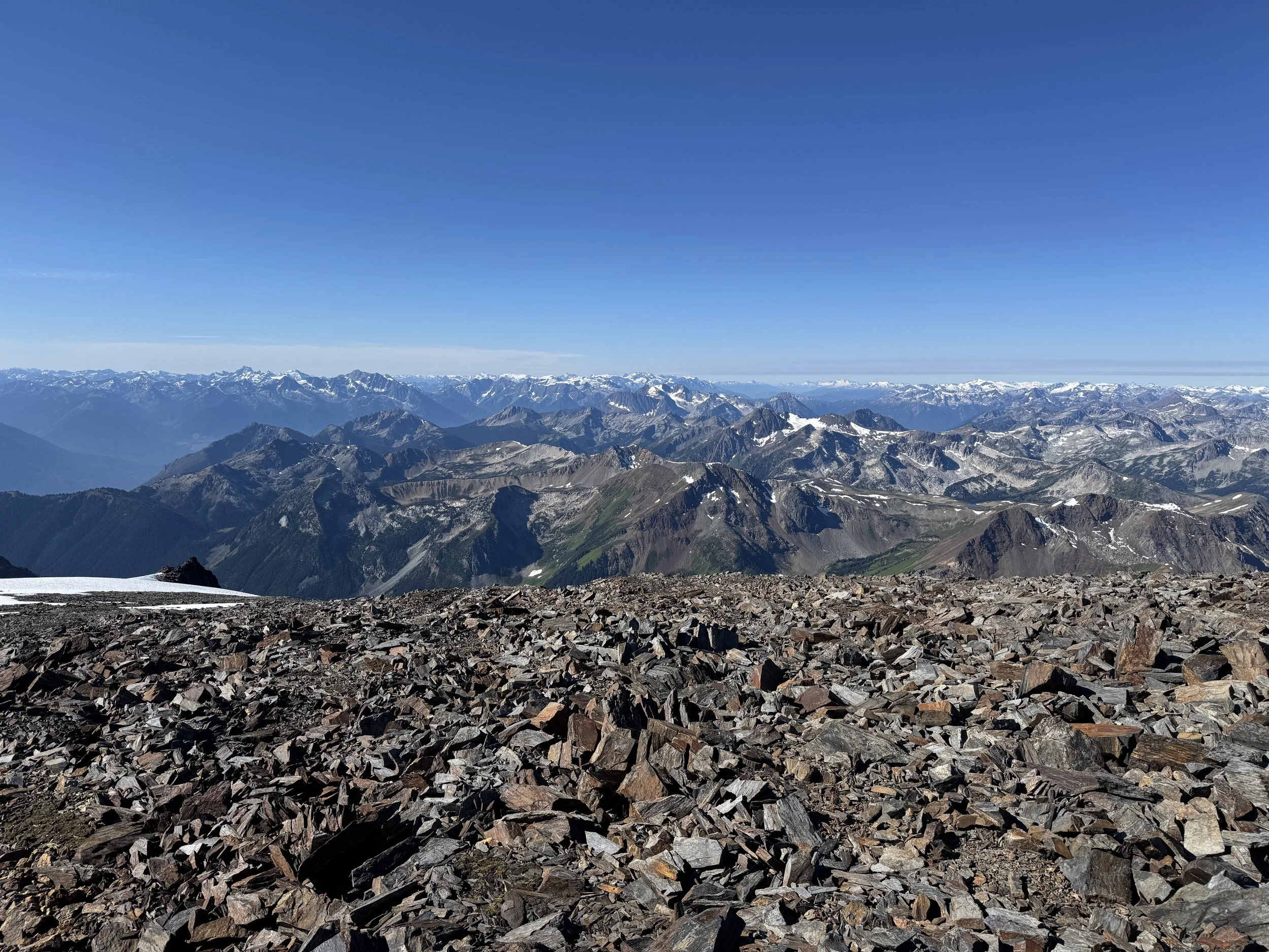
Whole lotta mountains
I made quick work of the talus fields and rocky meadows before reaching the steep lower slopes. I carefully descended the meadows before traversing onto the climber's trail, which runs next to the hemlock patch. Although descending steep dirt isn't my favorite, tree rappelling is, so I simply tree repelled down to the talus field at 6,400 feet. From there, it was smooth sailing back to camp. I found a trail that bypassed a solid chunk of the swampy section. It passed an old cabin used for ski tours. Just before 1 pm, I rolled back into camp, packed up, and began the hike out.
Just under 11 hours after leaving for Whitecap Mountain, I returned to the trailhead before 5 pm. Only 7.5 hours of driving ahead! The mountain views heading back down the Hurley River FSR were unbelievable. Truly 1 of 1, it's just a spectacular area. Just over 19 hours after waking up, I finally arrived home.
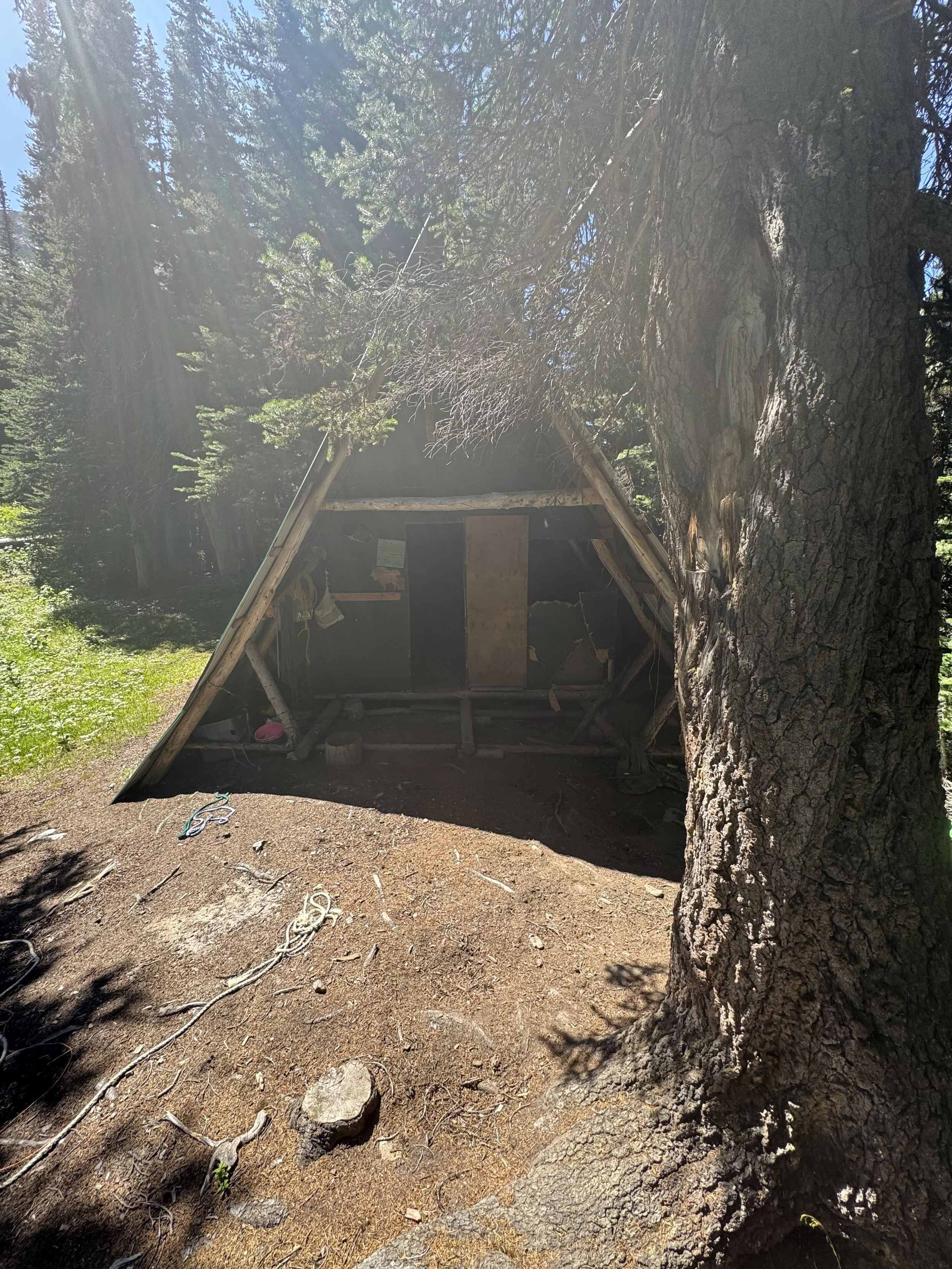
Old cabin
Overall, this was a trip for the ages, and I'll be back to climb Wedge Mountain later this summer. It's hard to justify driving over 7 hours for anything, but I'd say it was worth it just for the sheer natural beauty. If you want a long class 2+ walk up through the British Columbian wilderness with the end goal being an ultra-prominent mountain with 360-degree views of 100s of mountains, Whitecap Mountain may be for you. Thanks for reading! And as always, Happy Hiking and Stay Safe.
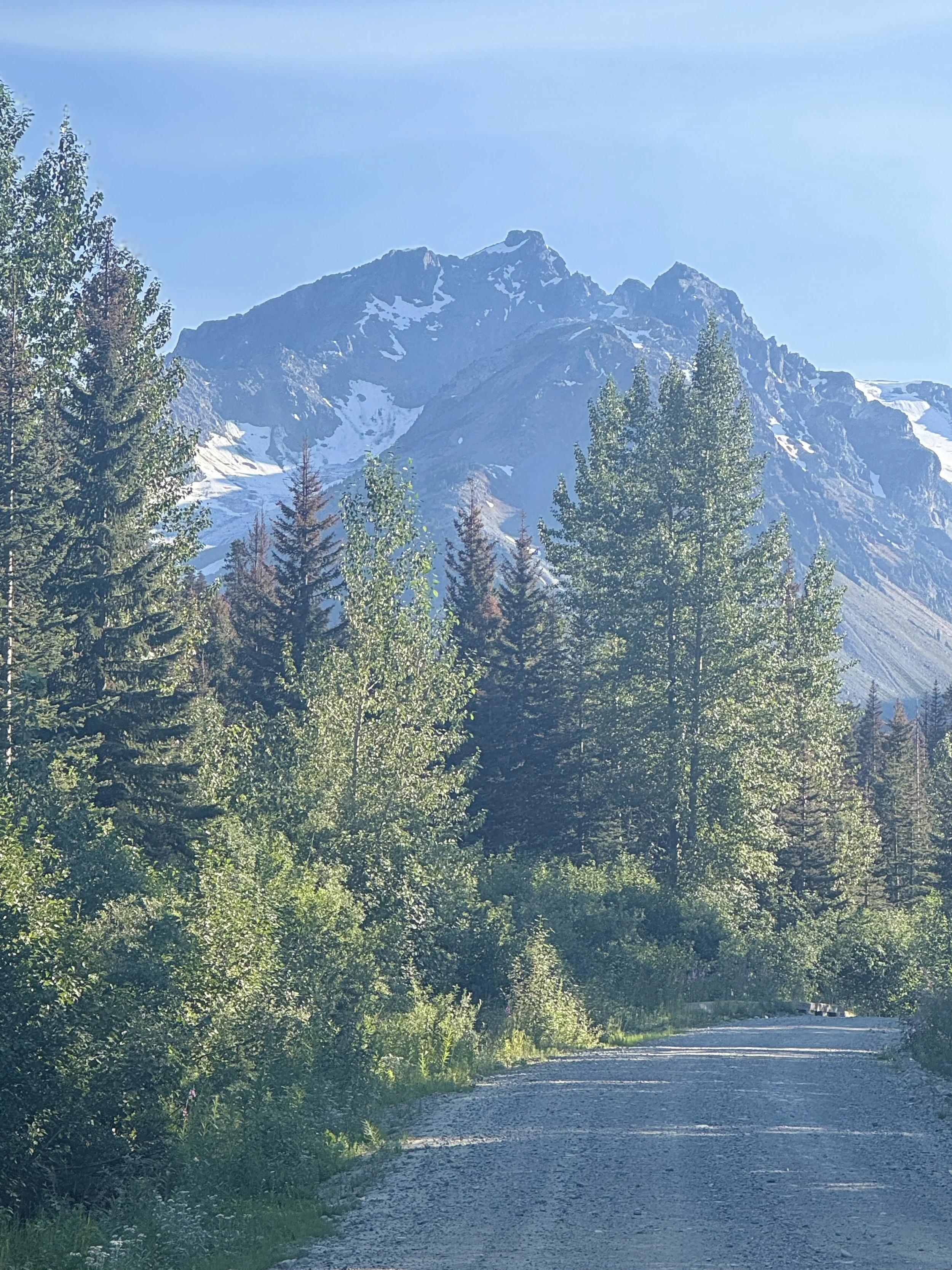
On the drive out