Big Craggy WA
7/25/22
Hi, we're the Mountain Goats, and yesterday I climbed Big Craggy in the Okanogan Range of Washington. With the weather not looking great on the western side of the Cascades, I decided to take Highway 20 to the east side. As I passed through Washington Pass, I was surprised to see just how smoggy the east side was. I stupidly didn't check the fire map; if I did, I would have noticed that Big Craggy was surrounded by multiple fires, with the closest being the Ptarmigan Fire 10 miles to the NE.
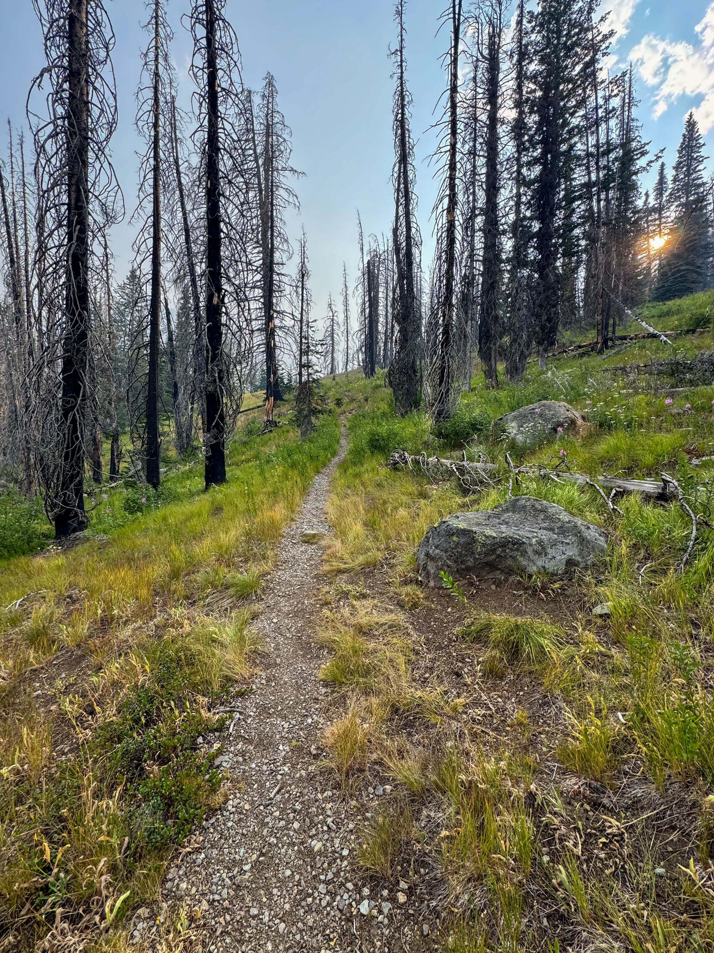
Through the meadows I go
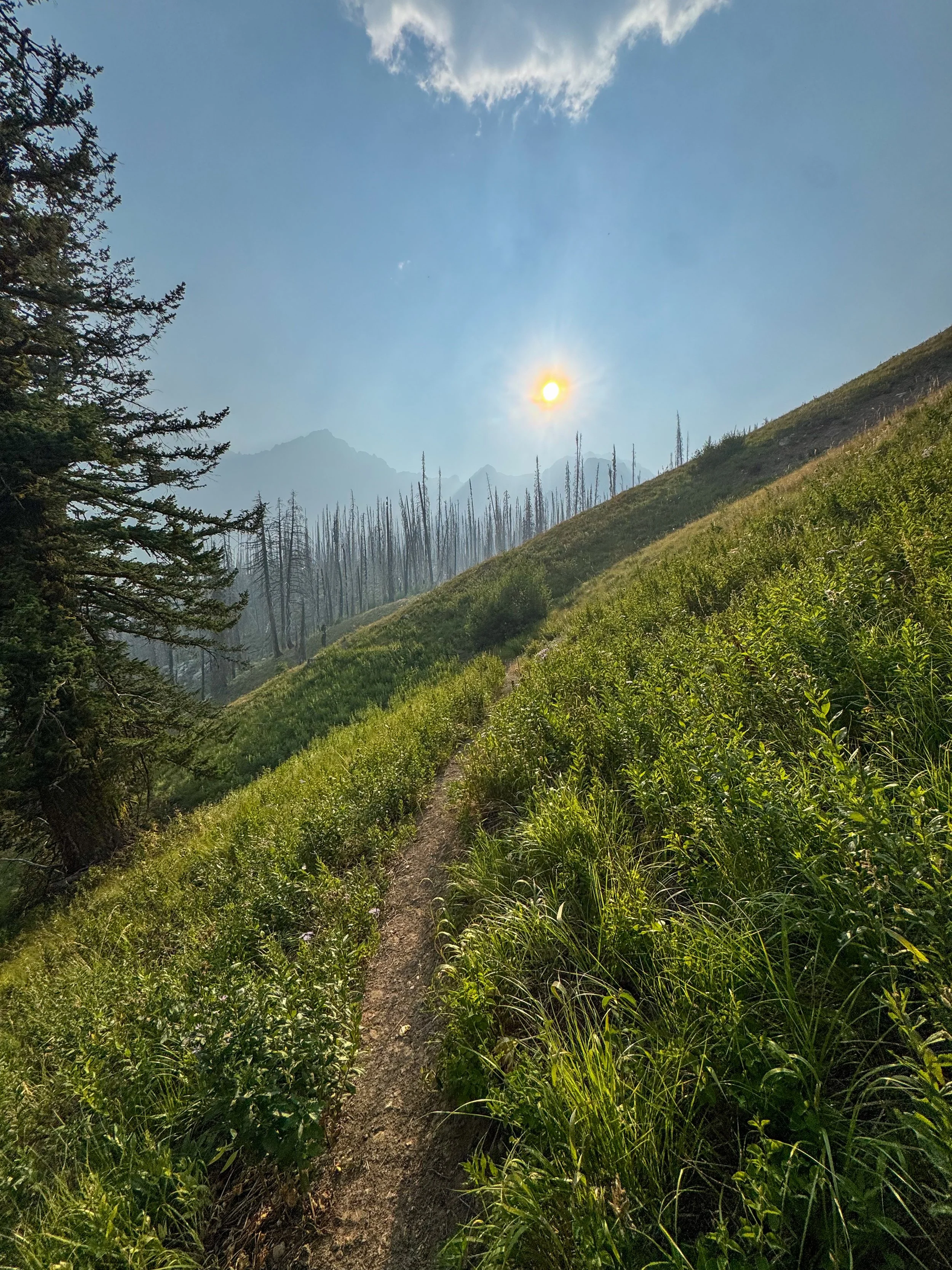
Breaking into the meadows
I rolled into the Copper Glance Trailhead just before 5 pm. I planned to spend 1 night up at Cooper Glance Lake and then summit West and Big Craggy the following day, completing a loop. The trail starts straight from the road and begins its unrelenting ascent as I headed northeast. The smoke quickly began to bother me, and about 1.5 miles in I decided to dump my overnight gear and make a summit push to reach Big Craggy's top just before sunset. With my pack lighter, I flew up to 5,800' and the cutoff up to Big Craggy. Once off the Copper Glance trail, I began to steeply ascend a grassy slope as I made a beeline towards the base of Big Craggy; the rugged Sherman Peak stood behind, creating a stunning backdrop. I soon left the grassy fields behind and entered an upper burn zone around 6,500'. From here I picked my way through the debris continuing to head northeast. At around 7,400 ', the terrain changed from dirt to scree as I reached Craggy's rocky summit block. I took a quick break here and popped on my helmet before trudging up loose scree and rock to the summit ridge. The true summit of Big Craggy is big and hard to find, but I followed the ridge until I hit what seemed like the highpoint.
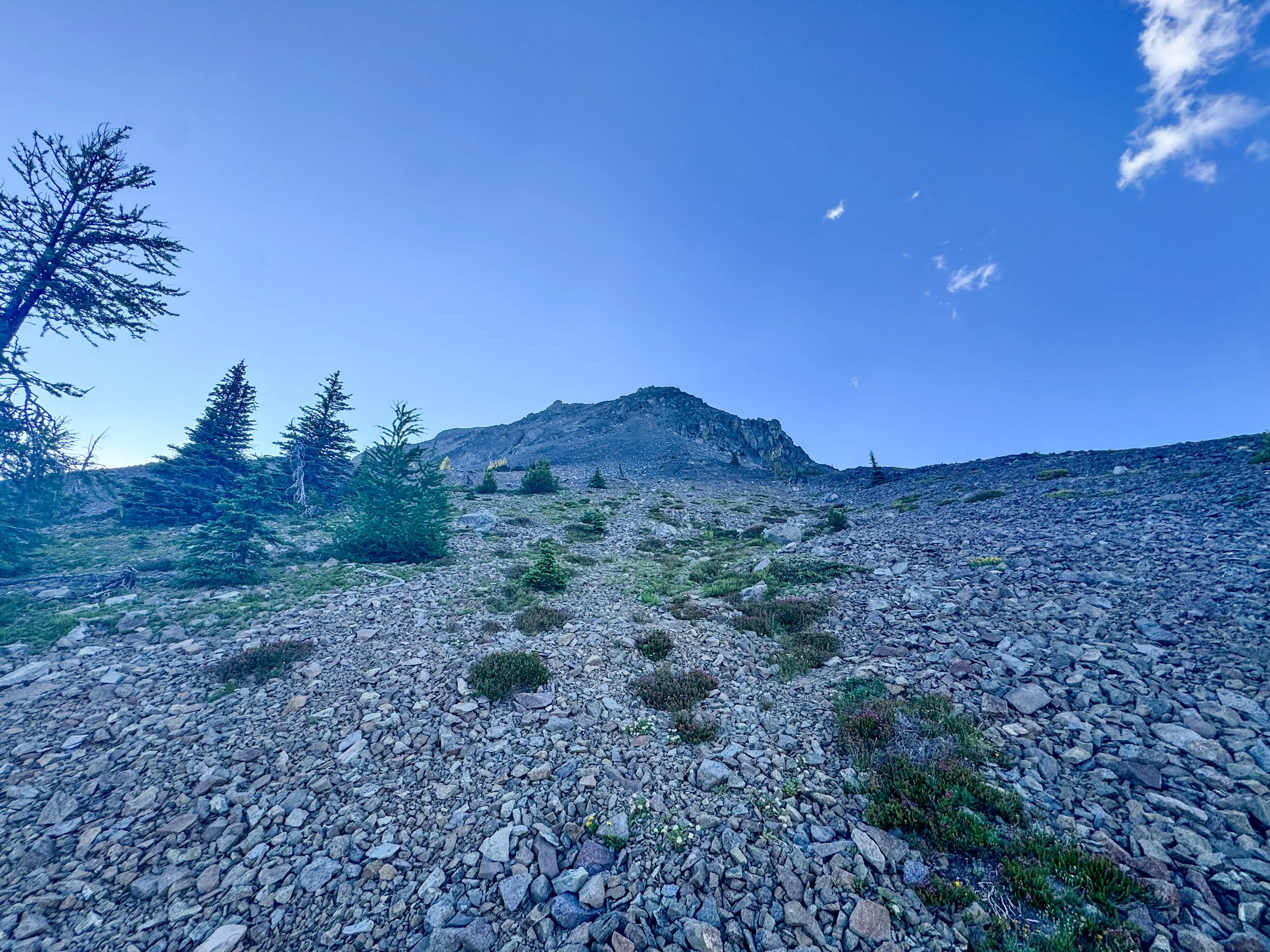
Looking up at the summit block
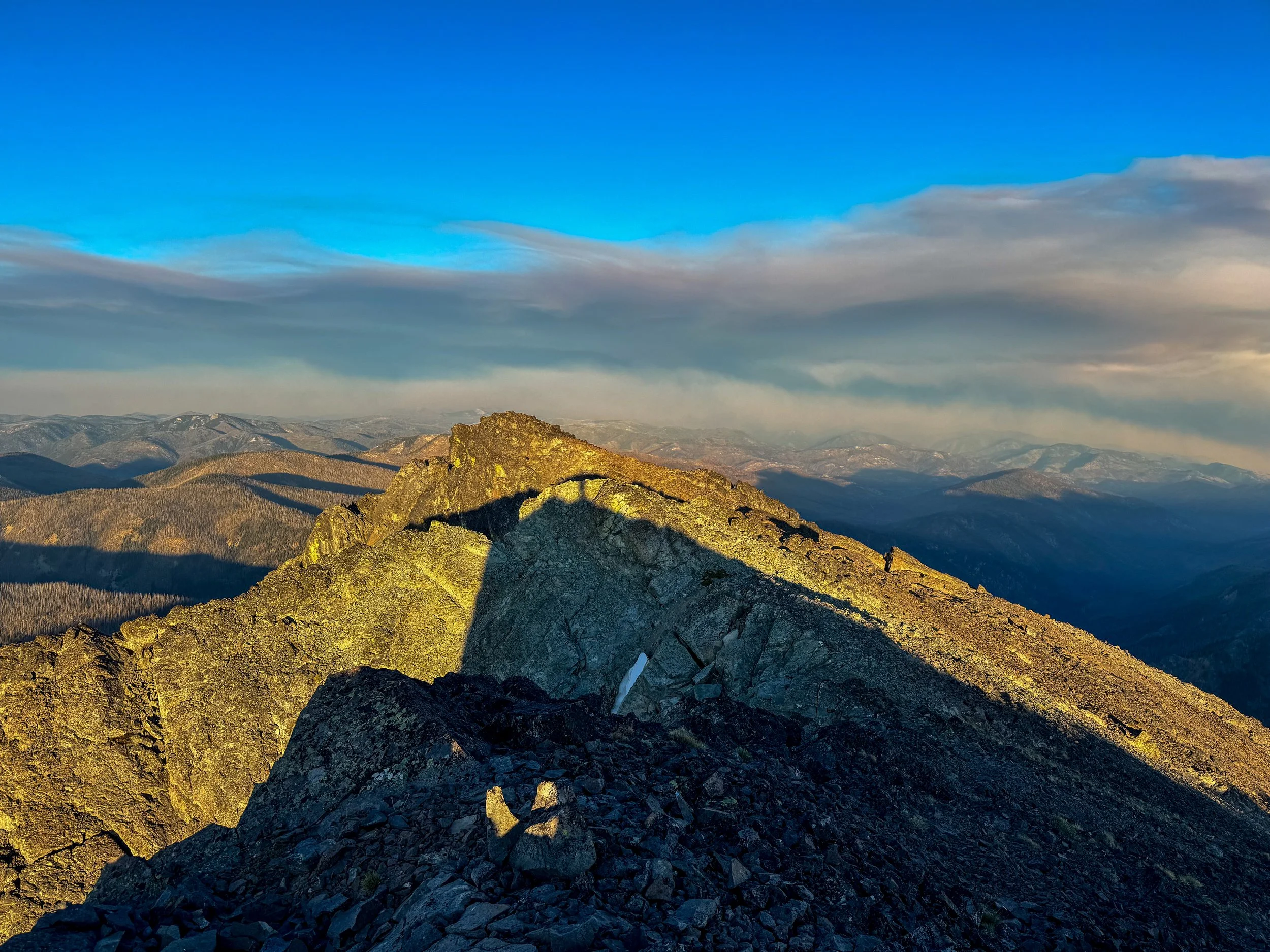
Ridgeline shot
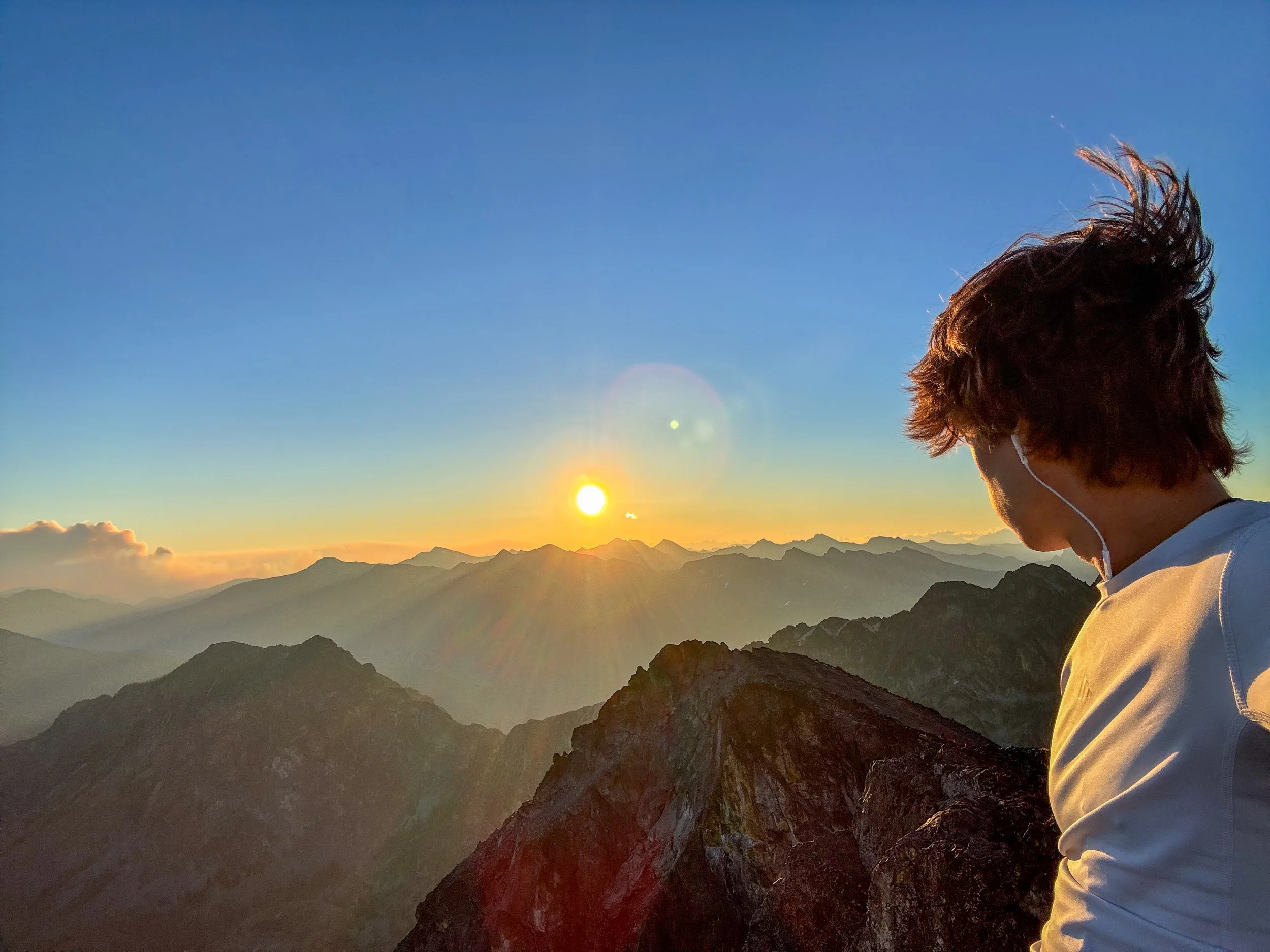
Summit shot
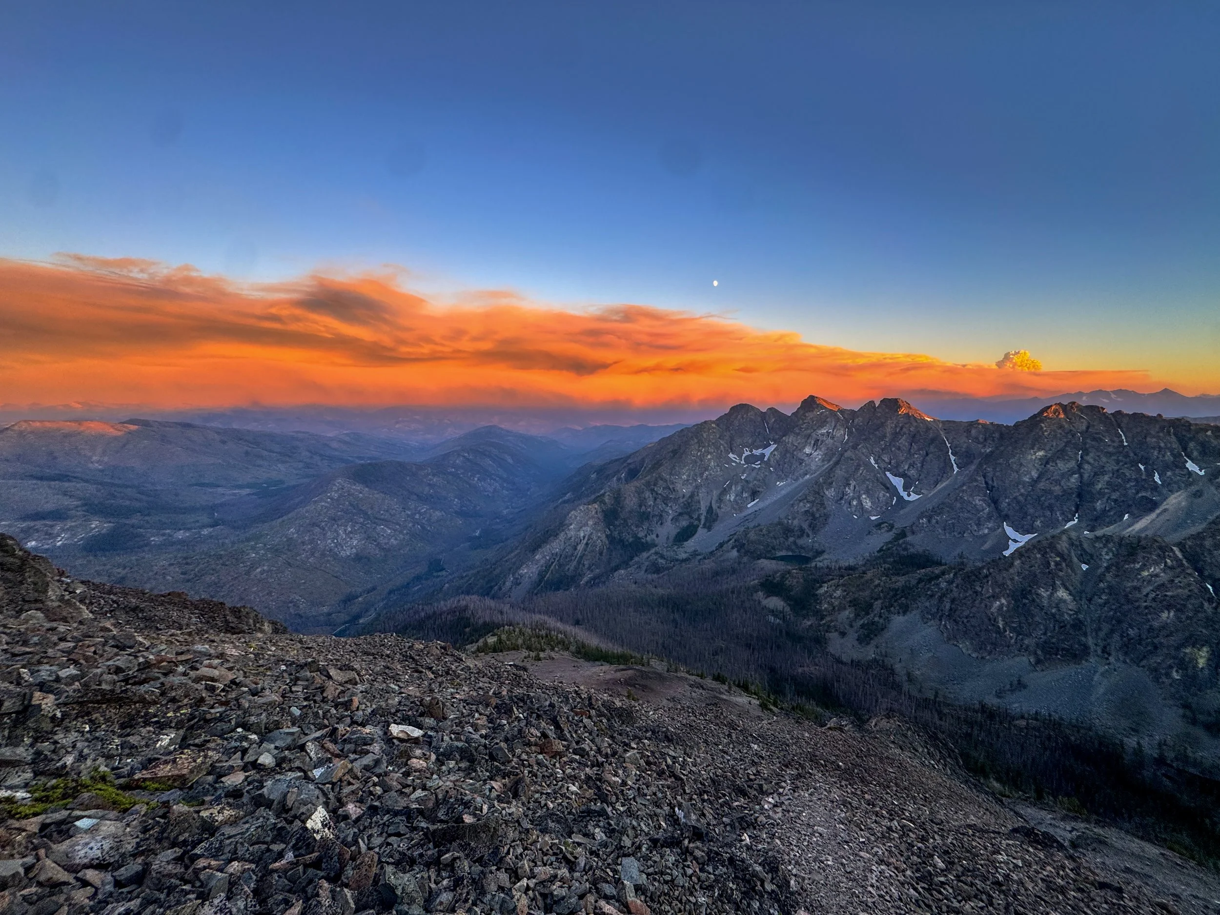
Insane Colors
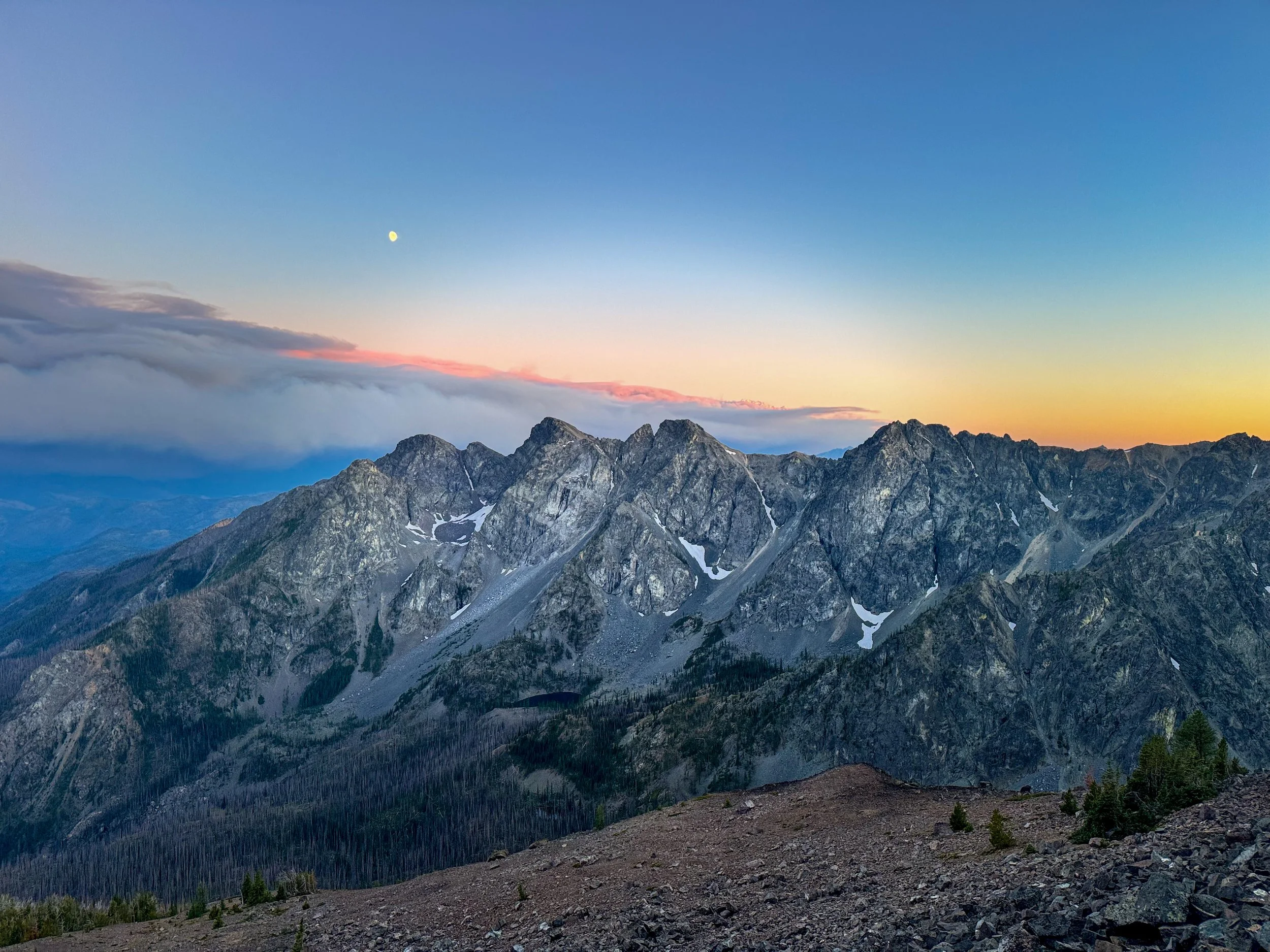
Final shot
The views and colors were stunning; smoke sure creates beautiful sunsets. After a few minutes up top, it was time to make a speedy descent as I wanted to get through the rocky section before the sun went down. Once off the rock, I popped off my helmet and put on my headlamp before descending back down to the official trail, grabbing my overnight gear, and making my way back to the car. I reached my car just before 11 pm, only 4 hours of driving to go.
Overall, this was a fun, impromptu sunset hike and a bulger at that. If I were to do it again, I'd spend a full day in the area, hitting Copper Glance Lake and completing the West Craggy/Big Craggy Traverse. That said, this is an enjoyable, fairly easy hike, just making sure to check the forest fire maps before driving 4 hours. As always, Stay Safe and Happy Hiking.
7 Miles - 4,700' Gain - 6:00 C2C
