Mount Stuart WA
July 28th, 2026
Hi, we're the Mountain Goats, and yesterday I climbed Mount Stuart C2C via the Cascadian Couloir with my buddy Thomas. This was my second time up Stuart, although the first time was during whiteout conditions.
After stopping in Cle Elum for dinner, we rolled into the Esmeralda Basin TH around 8:00 pm. After sitting by the North Fork of the Teanaway and gazing up at the imposing East Esmeralda Peak as the sun set, it was time to call it for the night. My alarm went off at 4:30, and we were on the trail just before 5 am. We started on the Esmeralda Basin trail before turning right onto the Ingalls Way trail before once again turning right onto the Longs Pass trail. Under the cover of darkness, we quickly covered the 3 miles and 2000' up to Longs Pass which offered the iconic shot of Stuart, which towers 4,500' above Ingalls Creek and the valley below. After a quick break, we dropped the 1,200' down to Ingalls Creek as we watched almost all of our progress vanish.
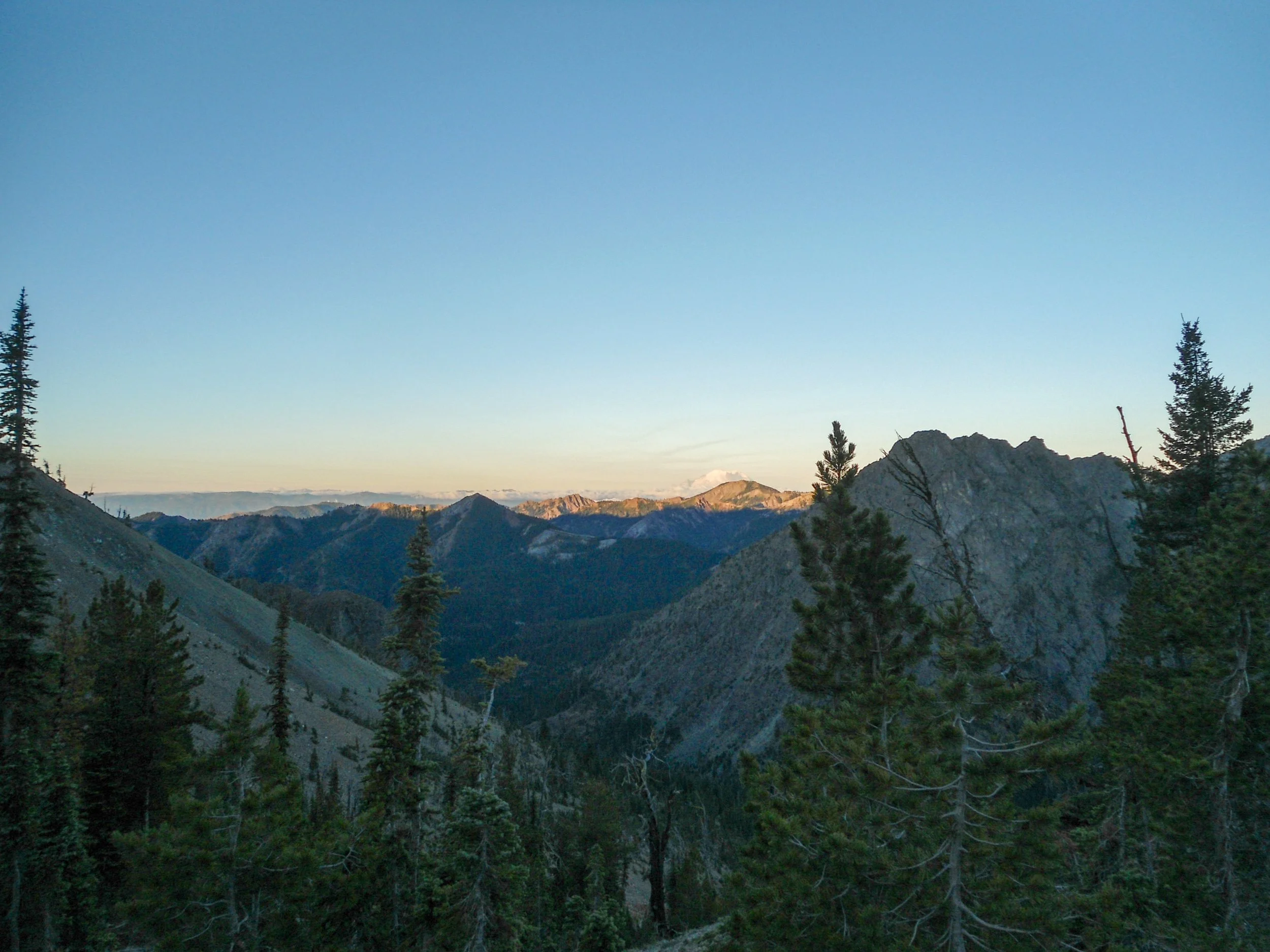
At Longs Pass looking back
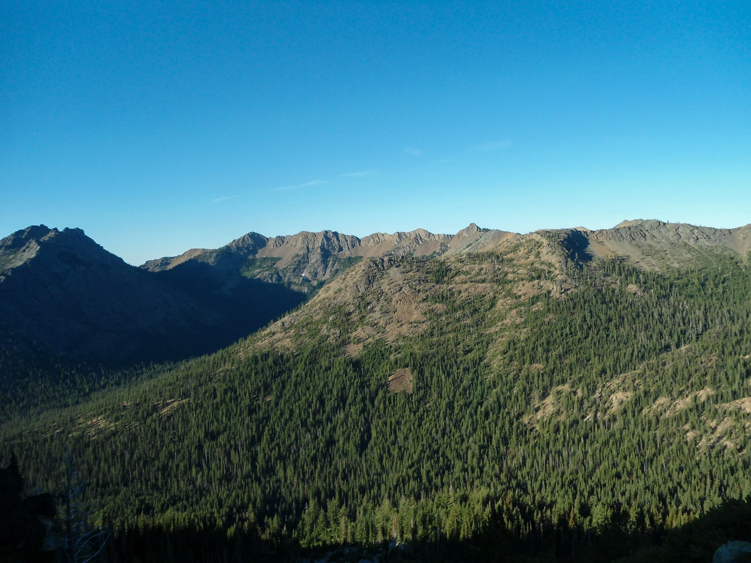
Looking back at Longs Pass
Once at Ingalls, it was time to hydrate and refill our water as this would be the last running water source. From Ingalls Creek we hopped on an unmaintained trail following it, as it steeply ascended through rocky meadows before turning onto the Couloir at 6,000'. The Couloir takes one from 6,000' all the way up to 8,200' as one ascends a steep sandy chute full of loose rock. Luckily, this was my second time up here, so I was able to easily navigate the Couloir, leading us away from the loose rock and keeping us on more stable rock when possible. We made great time as we shot up to 7,600' before taking a break before continuing upwards as we exited the Couloir and got onto boulder fields around 8,200'. Once on the more stable boulder fields, we picked our way up towards the only remaining snow field at 8,700' which was now visible. The views behind us were awesome the whole way up; Rainier and Adams dominated the skyline southwards.
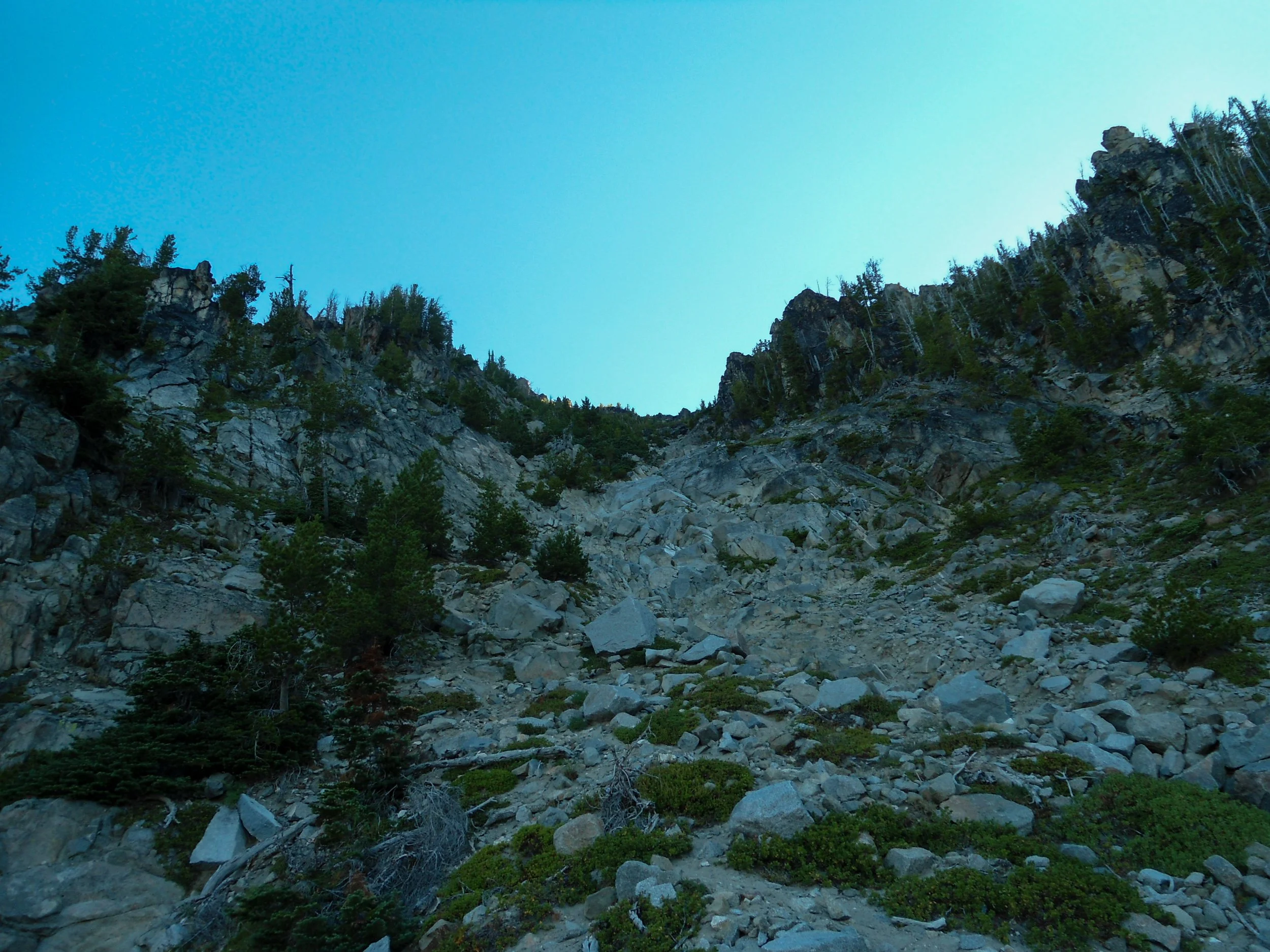
Looking up the Couloir
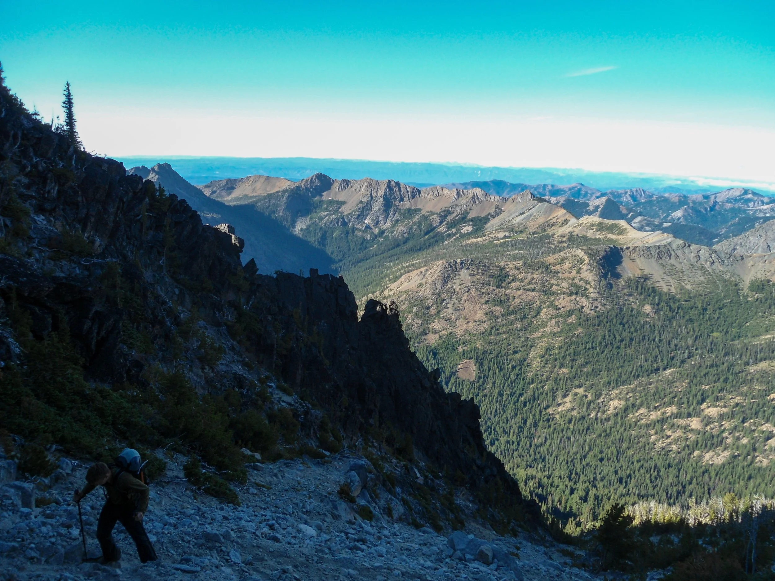
Up we go
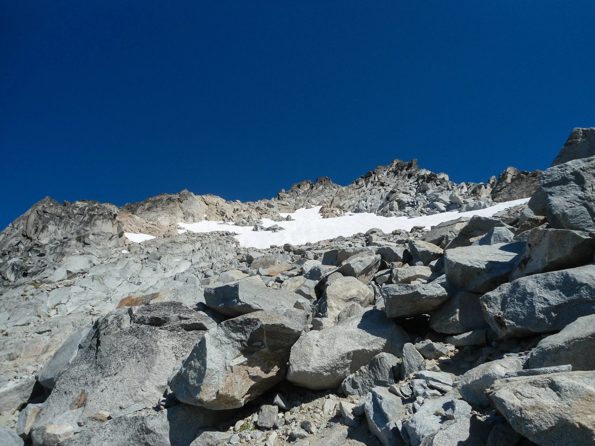
The lingering snowfield above
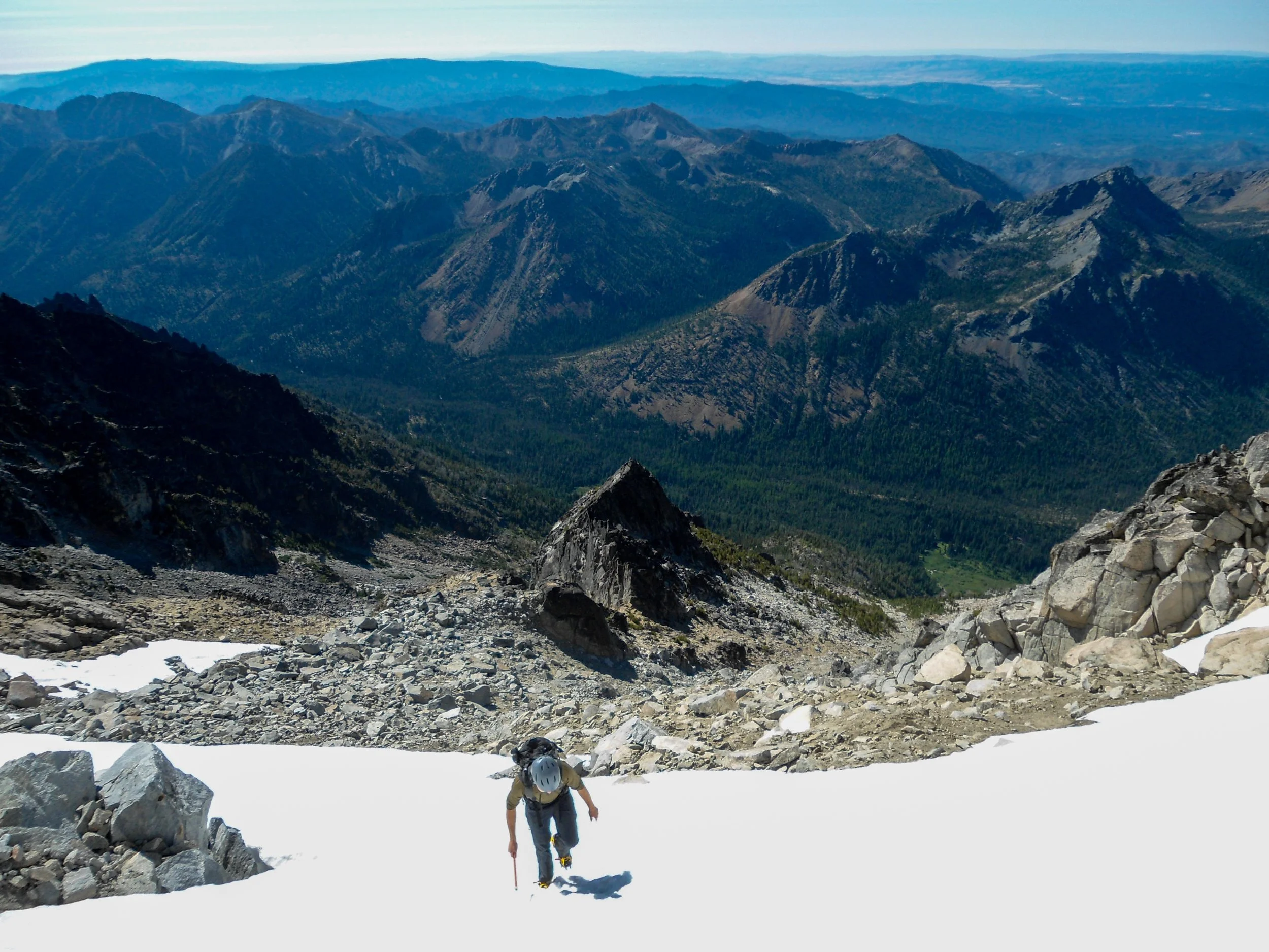
Up we go
At 8,700' we found ourselves looking up at an awfully steep section of snow. It's worth noting that one could stay on the rocks and bypass this section per recent trip reports. Since we brought crampons and our axes, we decided to take the snow route as I attached our crampons to our approach shoes and continued up. The snow section is about 150'-250' vertical feet depending on which route you take, and although steep, I felt fine even with just my approach shoes. Once off the snow, we popped off our gear before scrambling a few hundred feet up to an upper ridgeline at 9,000'. From there we got our first glance of the true summit of Stuart, which stood 1500' to the East. From here to the summit is easily the toughest section of route finding, as one must traverse beneath the ridge before ascending to Stuart. Luckily, I was able to keep us exactly on route as we followed cairns along the ridge, navigated the crux of the climb, a tough class 3+ section, and made our way up to the famous Stuart Granite slabs that make up the summit block.
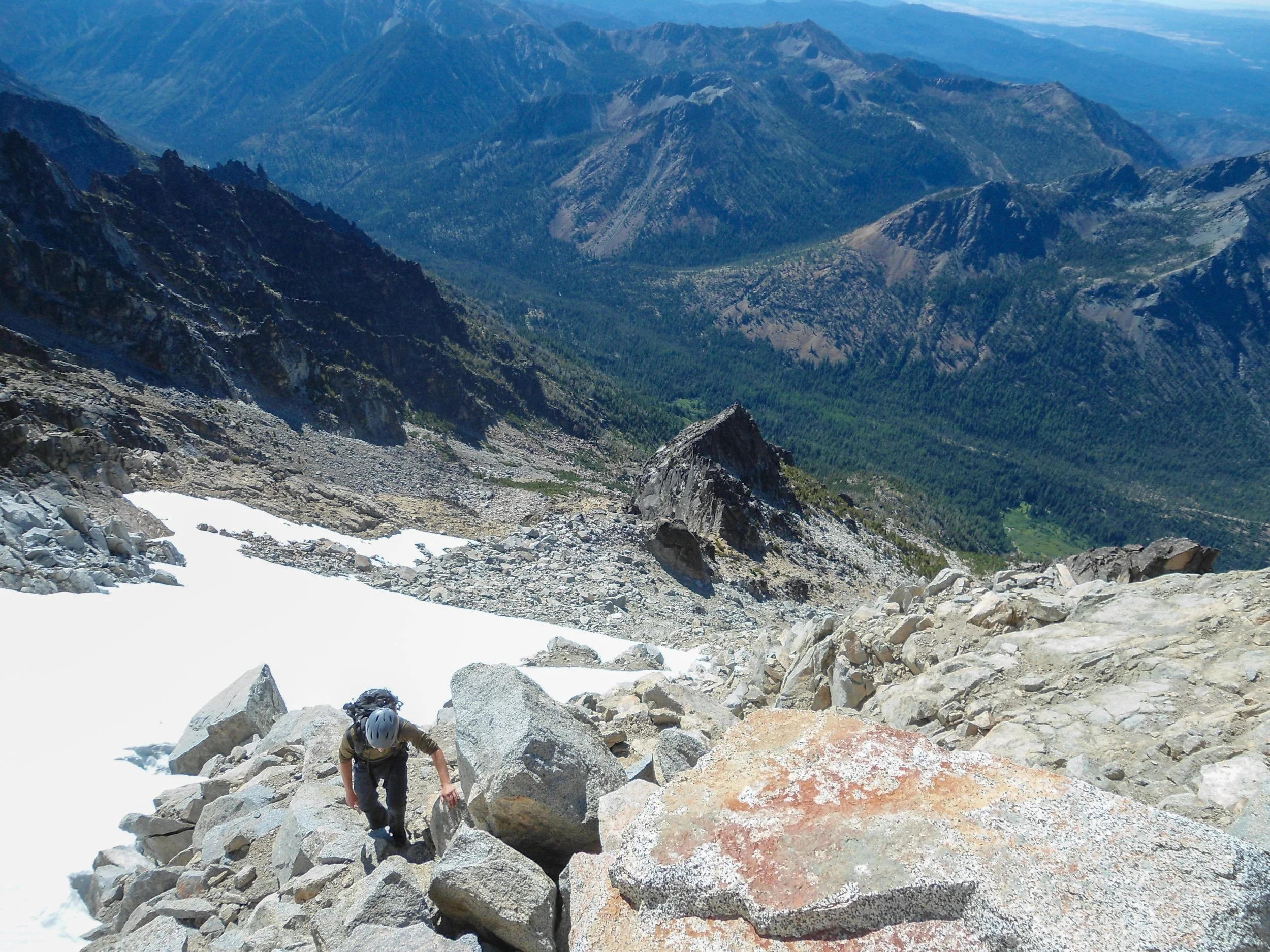
Above the snowfield
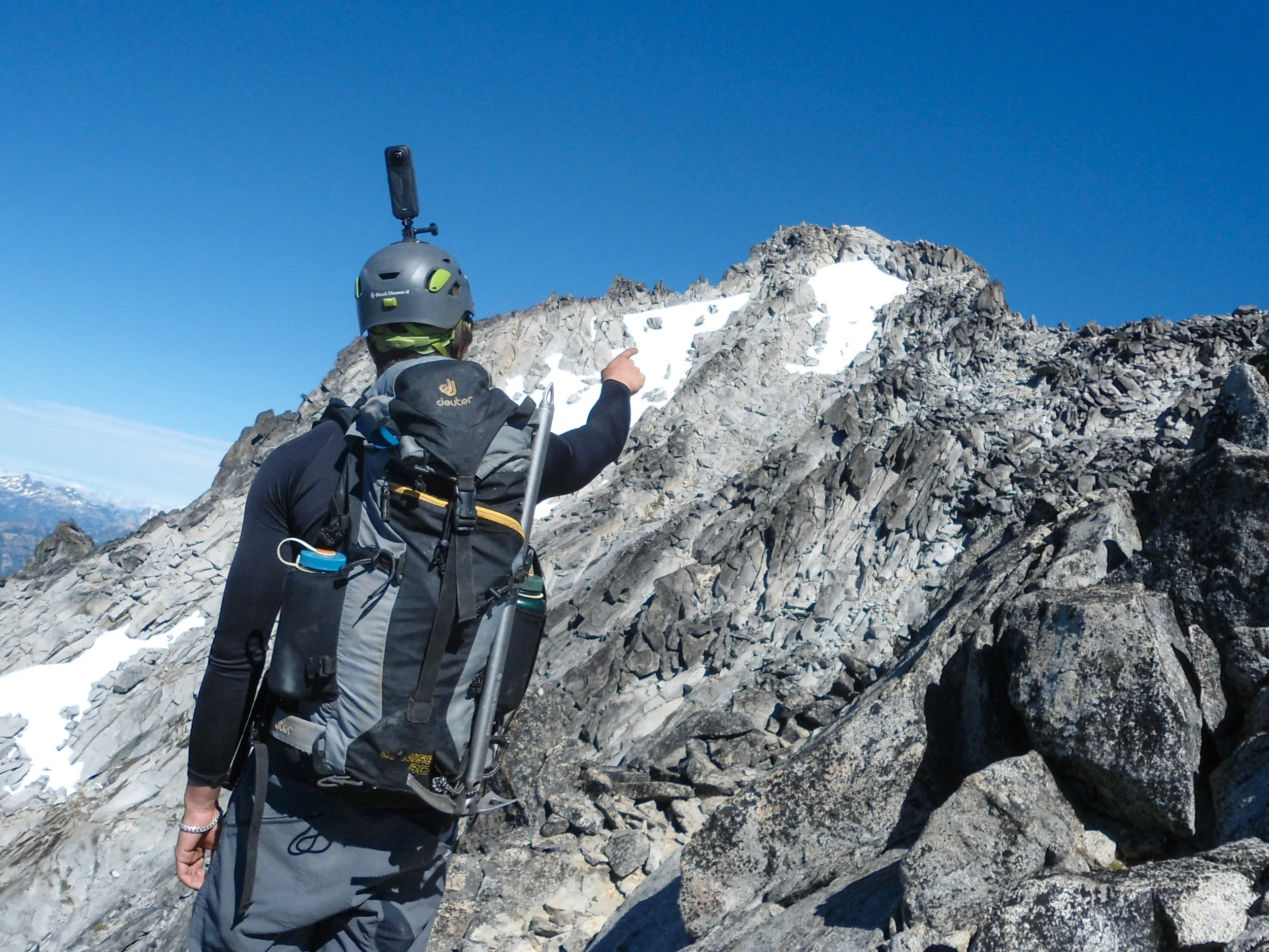
Summit!
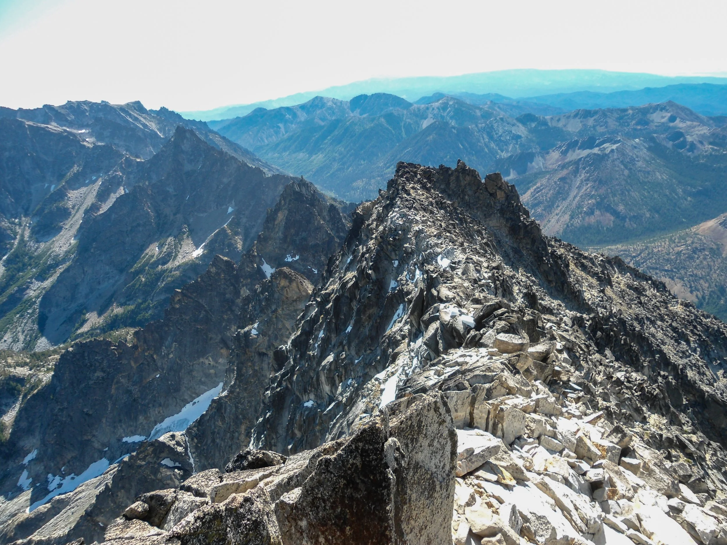
Upper Ridgeline
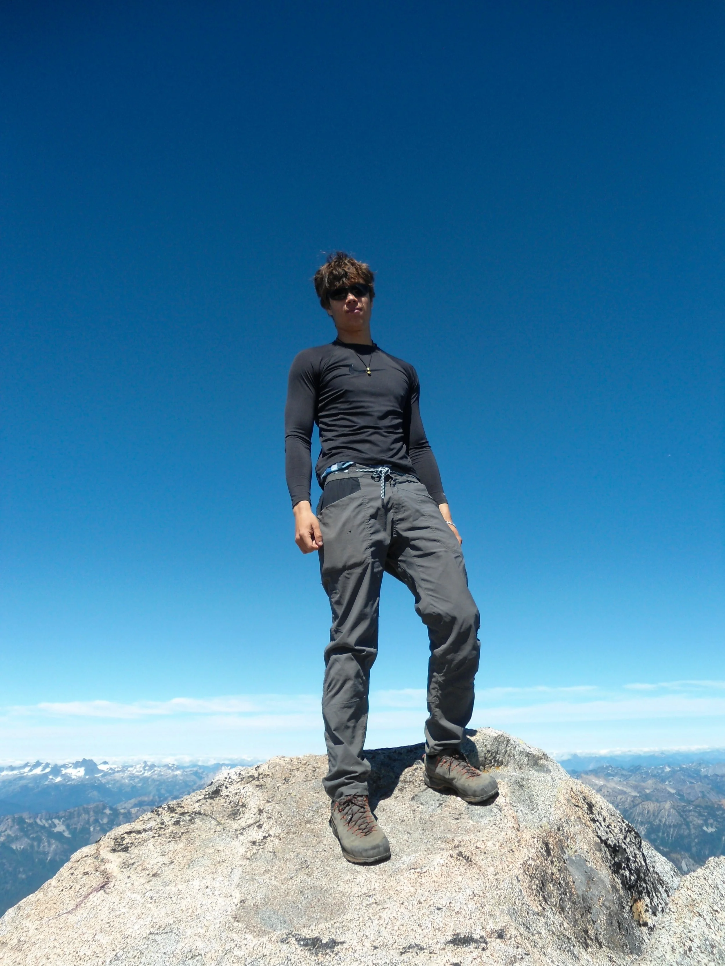
BOOM
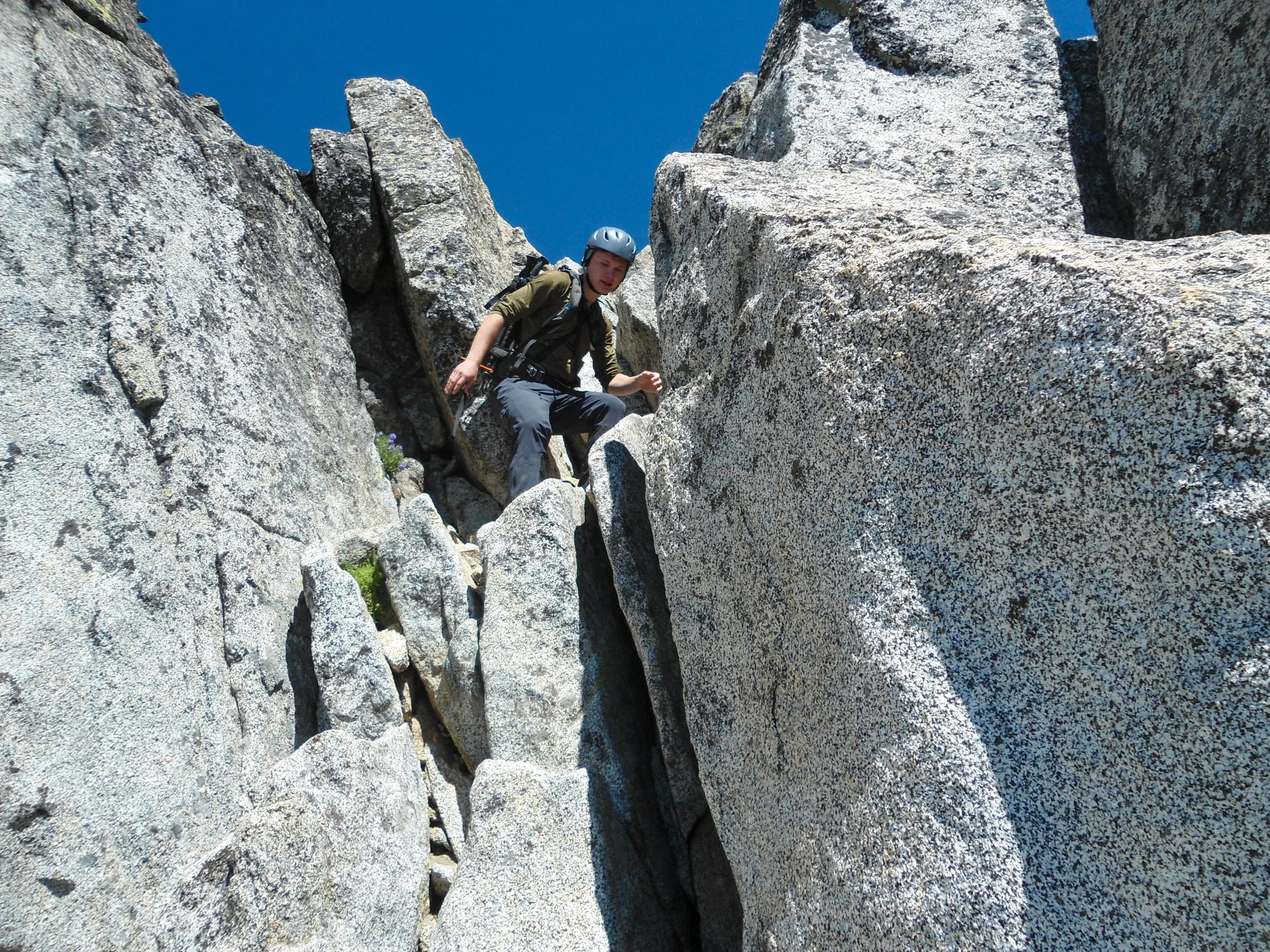
Coming down
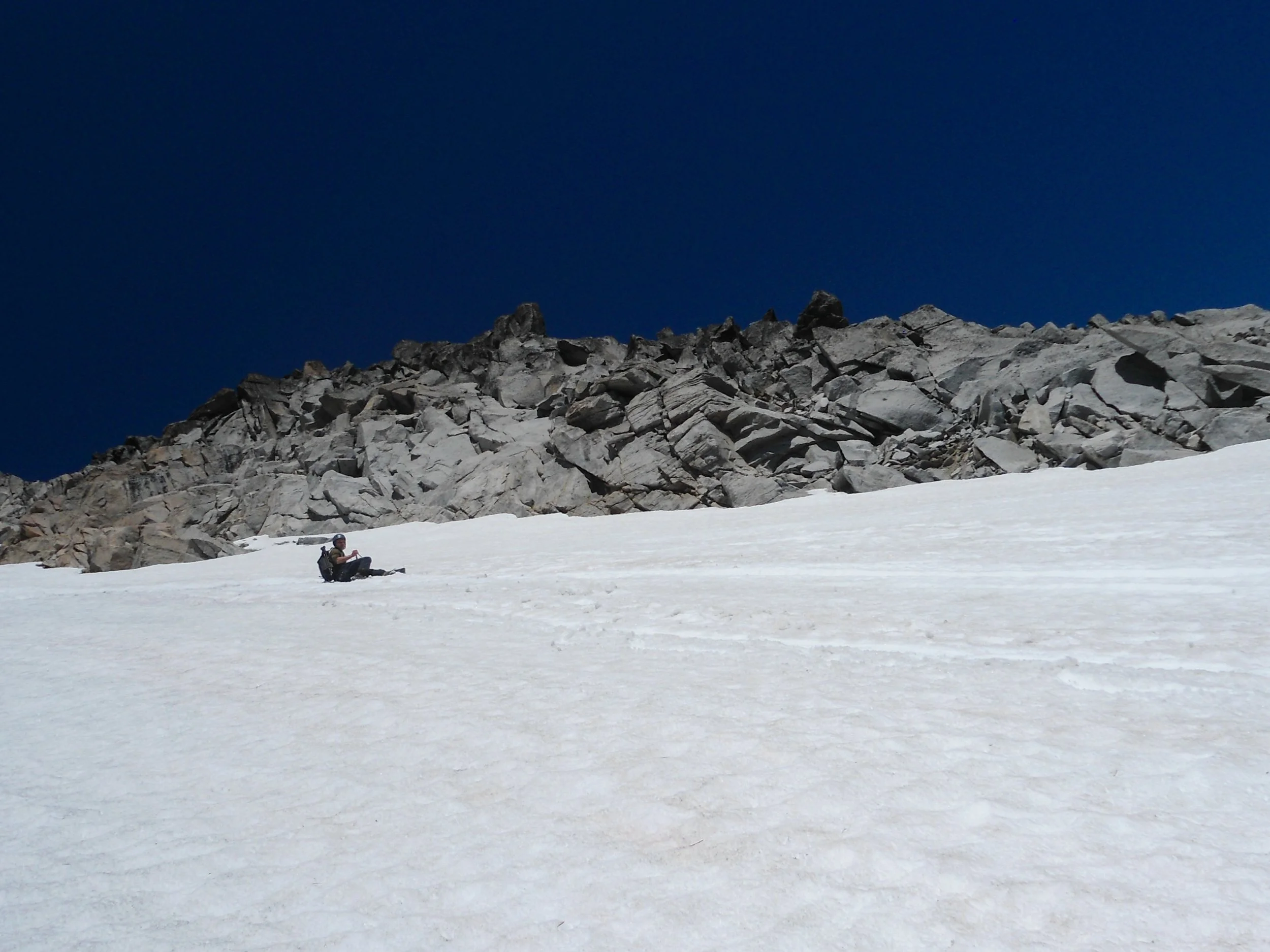
Maybe not the smartest thing we’ve done
The views from the summit were unbelievable; the famed North Ridge of Stuart was ridiculous to see; there truly are levels to this. Glacier, Rainier, Adams, and the entirety of the Central Cascades were also visible. After a nice break on the summit, it was time to descend to safety. The only tricky section came at the snowfield as we decided to glissade down. This wasn't the smartest decision due to the steepness and slickness of the snow; nonetheless, we were fine as we hyper focused on watching our speed. Once past the snowfield, it was smooth sailing back to the car.
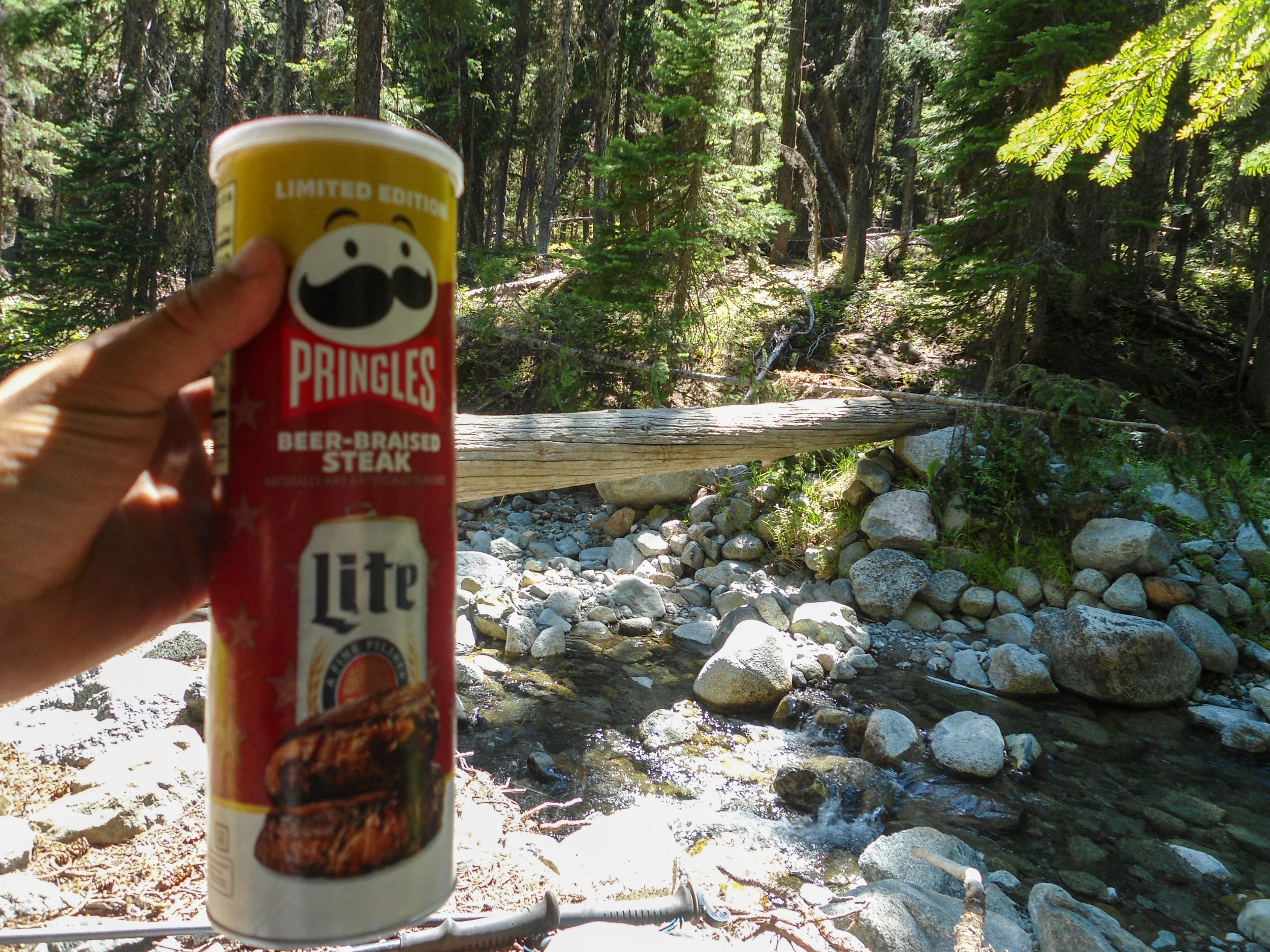
The Real MVP
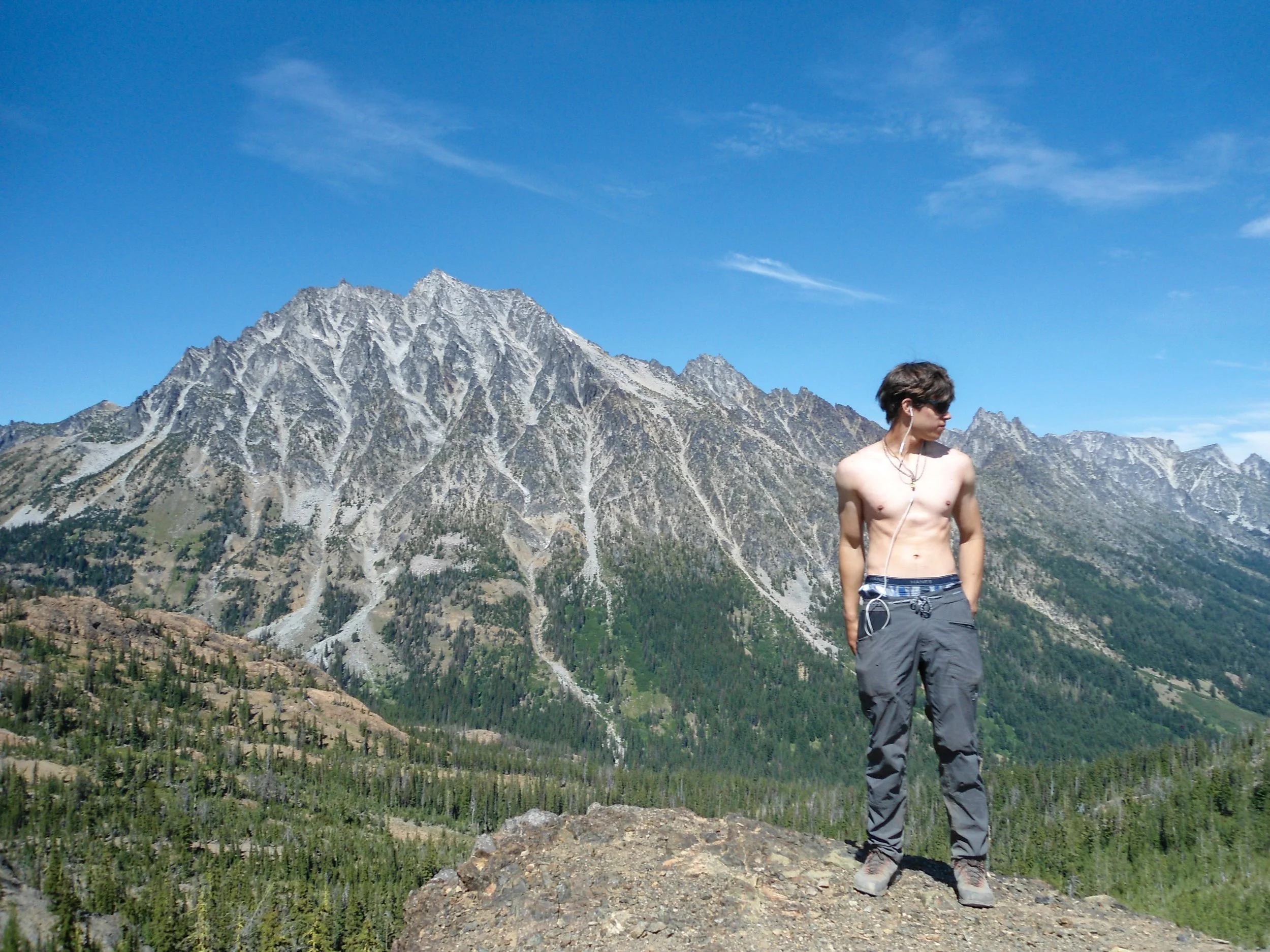
Bye Staurt
Stuart is a classic for a reason. Even the Cascade Couloir is an awesome route and doesn't feel tedious. This was Thomas's first scramble, and we handled it like a champ. This is definitely a class 3 scramble and nothing more. As far as the loose rock, if you know what you're doing, you really shouldn't kick down any rocks; Thomas and I managed to kick a total of 0 rocks down on the ascent and descent. All that said, this is a legit mountain; don't underestimate it. As always, Happy Hiking and Stay Safe.
Final Stats: 12 Miles - 7,500' Gain - 11:20 C2C
