Silvertip Mountain BC
7/22/26
Silvertip Mountain is a major peak within the Canadian Cascades and the only ultra-prominent peak in the range. While Silvertip is just a walk-up, the approach up to the alpine meadows is steep and overgrown, as one fights through scree, brush, and a massive burn zone before reaching the lush meadows. Those willing to take the approach will be rewarded with unobstructed views southward into the North Cascades and some of Washington's most isolated and rarely seen peaks.
After leaving Bellingham at 4:30, I rolled into the "trailhead", a little turnoff from the Skagit River Road, around 6:30. After tossing on my approach shoes, I began the steep ascent through scree and alder trees. I gained 1,400' through the first .4 miles, ridiculous. The crux of the climb came at the end of this section, as I ascended up a steep rock gully and lifted myself over a blowdown. There is a long rope draped down a rock wall to the left of the gully; most people use it. I simply missed it. Once above the gully, the grade of the route lessened as I began to enter a burn zone. Here is where the route-finding problems began, as the climbers' trail I had been following disappeared. Luckily, I picked one up and stayed on it through the burn zone. As the trees became sparser, the views began to really open up. Hozomeen, Spickard, Redbout, and Jack Mountain all became visible behind me. The rarely seen Nohokomeen Glacier of Jack Mountain is visible from the north. At 6,000' I finally broke out of the trees and entered the alpine meadows situated underneath Silvertip Mountain, which towered above, now visible.
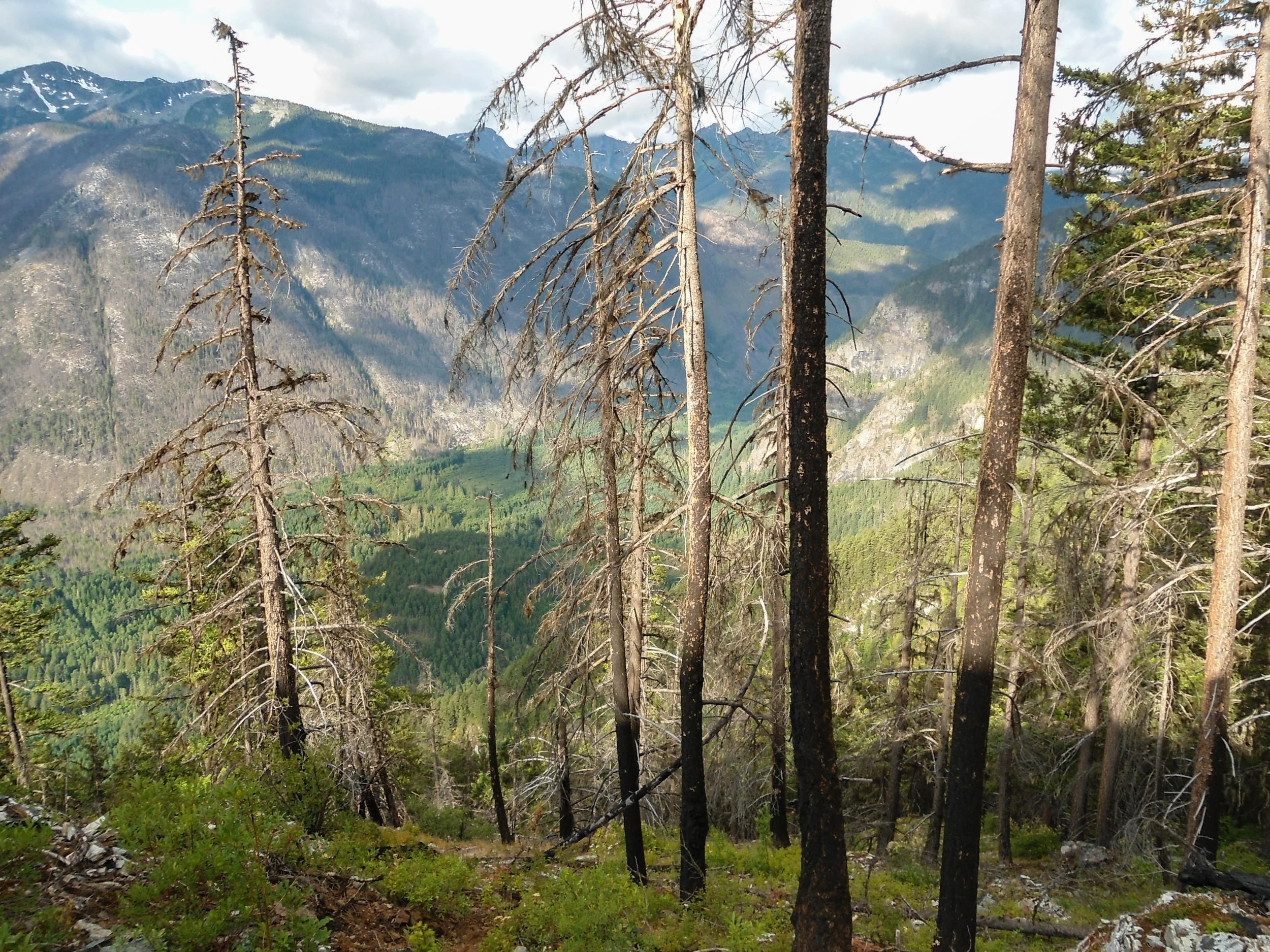
Looking down the steep valley
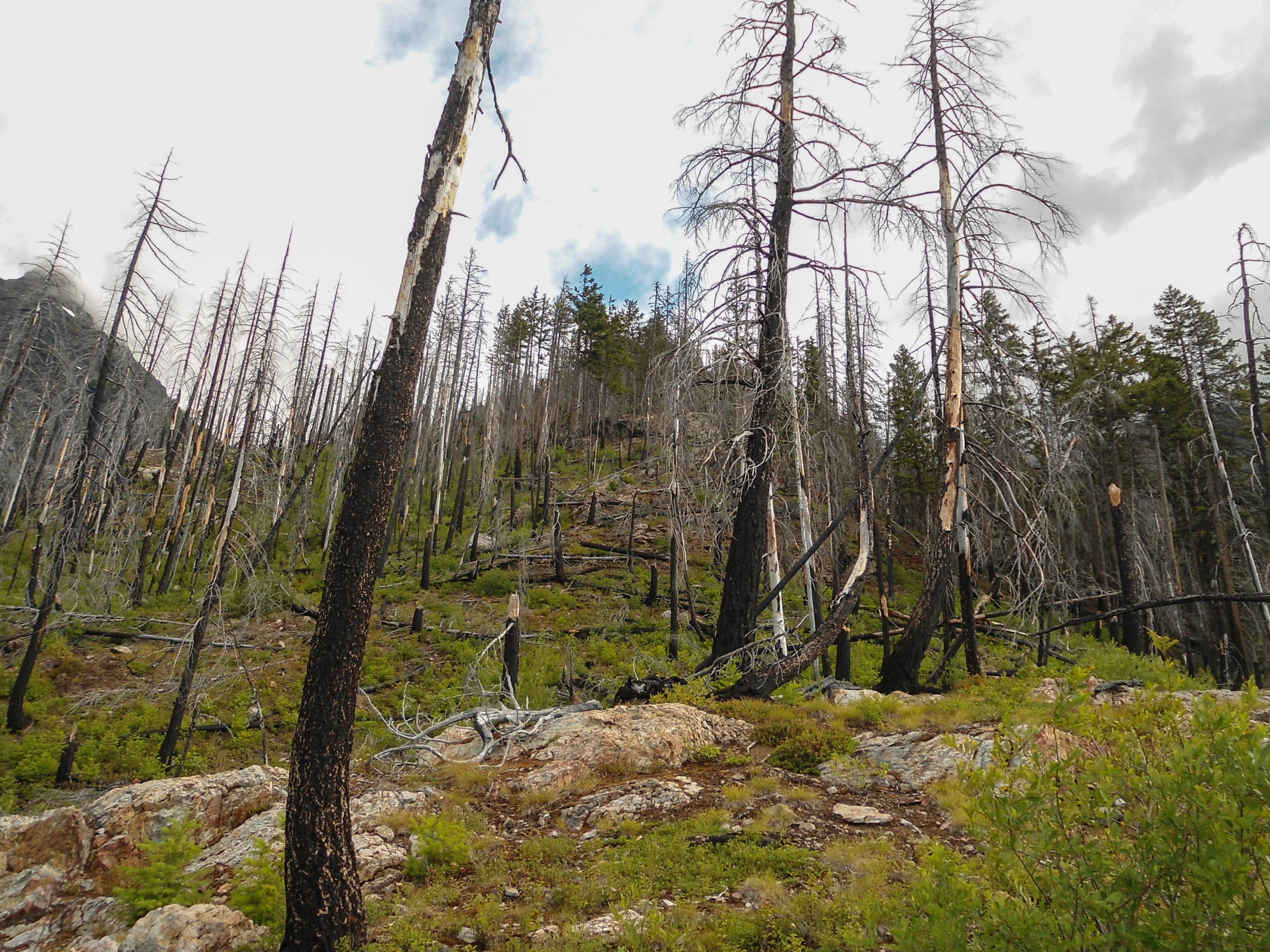
Lots of dead trees
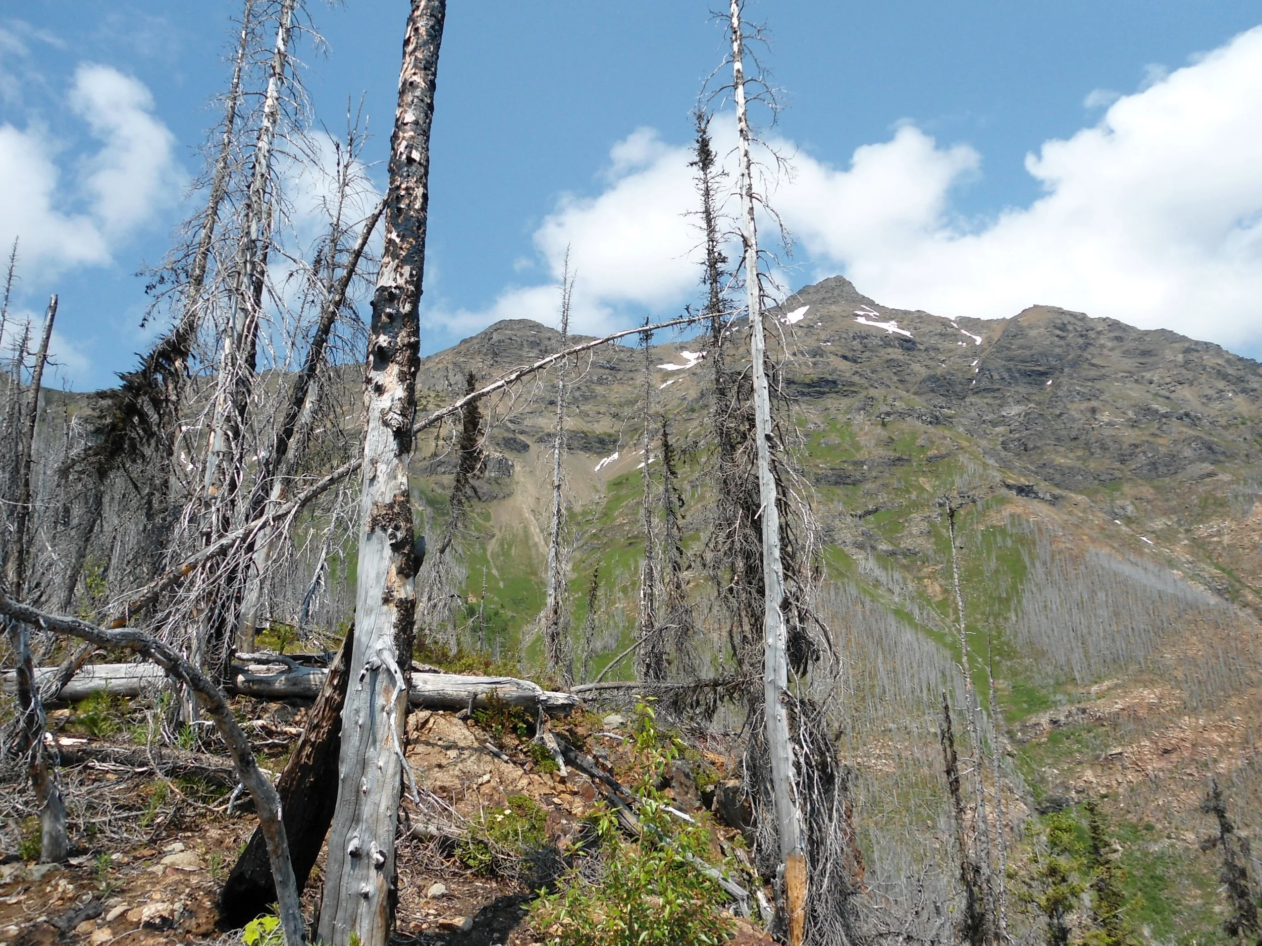
Silvertip Mountain from far away
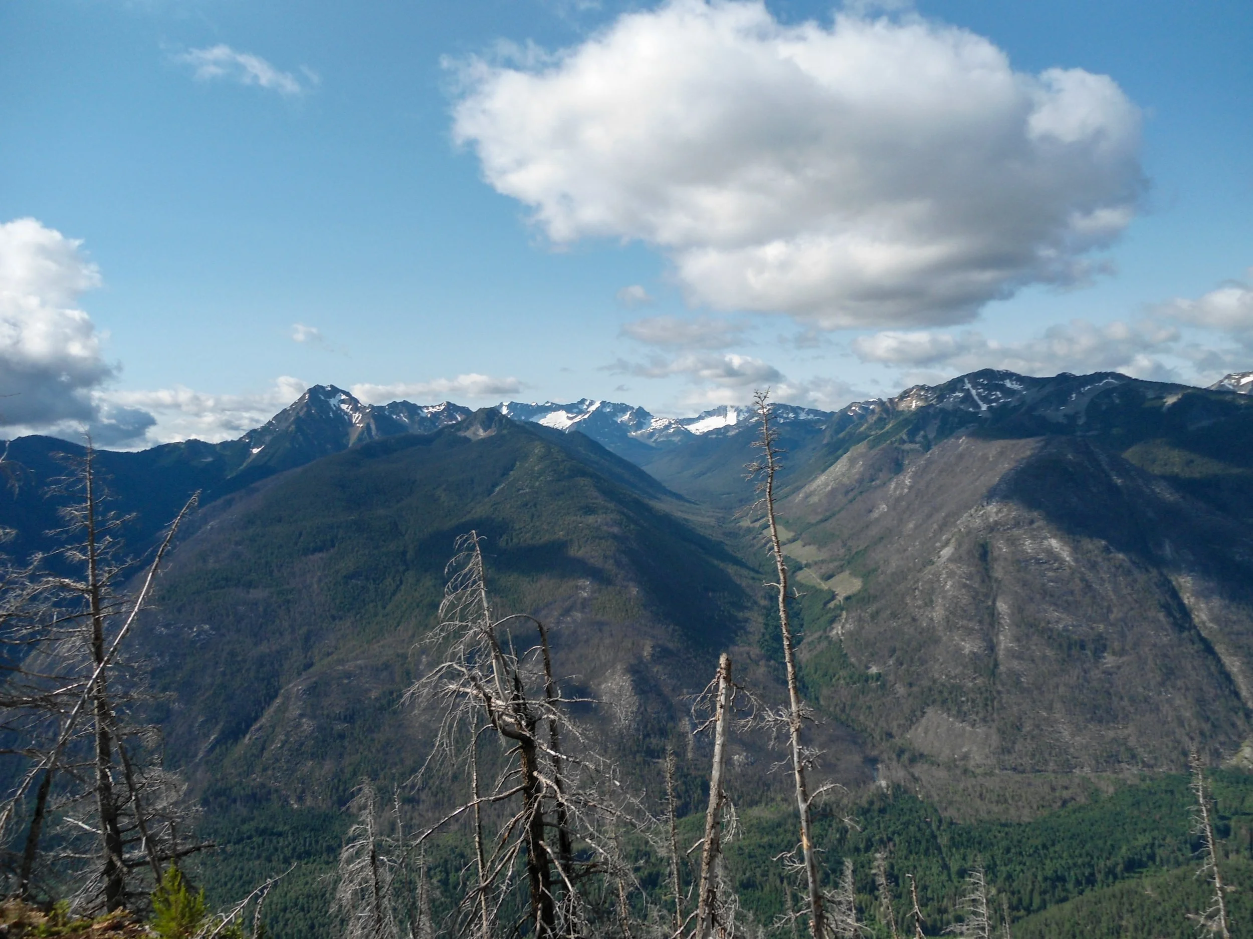
The far North Cascades of WA
After the steep section, it was now time for the side hilling section as I traversed steep, meadowy slopes heading north towards the base of Silvertip. I was able to follow a faint boot path, which was life-saving. At around 6,300' I hit 2 creeks which acted as the only water sources along the route. After refilling my water, I continued north as I began to ascend towards a ridgeline above. At this point, I didn't even bother attempting to find a bootpath as I picked my way upwards. Luckily, the soft grassy dirt was great, and I had no problem ascending to 7,300'. From there, I turned right and traversed the ridgeline all the way to a false summit at 7,800'. Some cool but scary cornices covered the upper ridge near the false summit. After ascending the false summit, I finally got a clear view of Silertip's rocky summit. After descending down the other side of the false summit, I traversed underneath the summit block before picking my way to the top with the occasional class 2+ move.
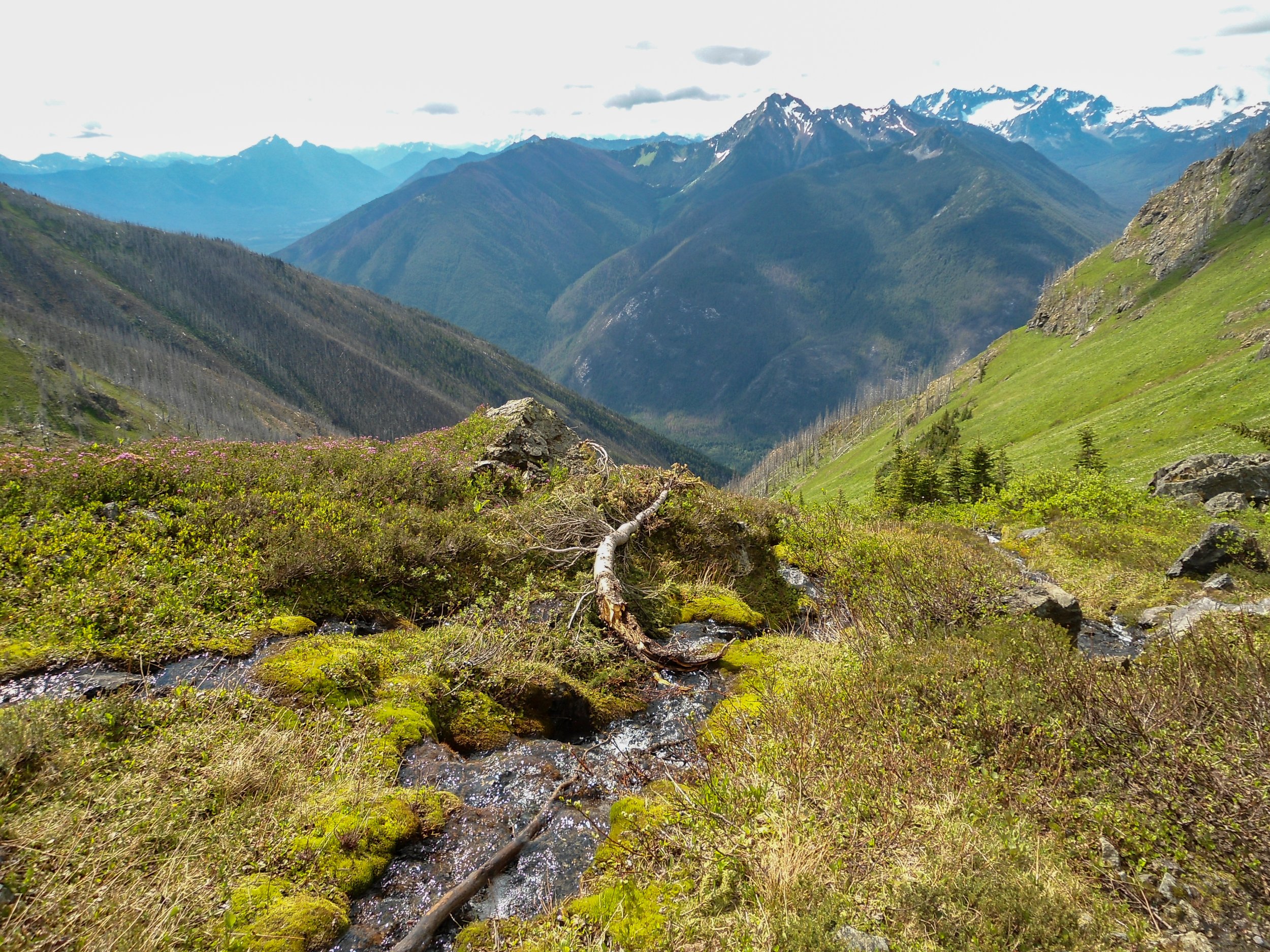
Looking down the valley
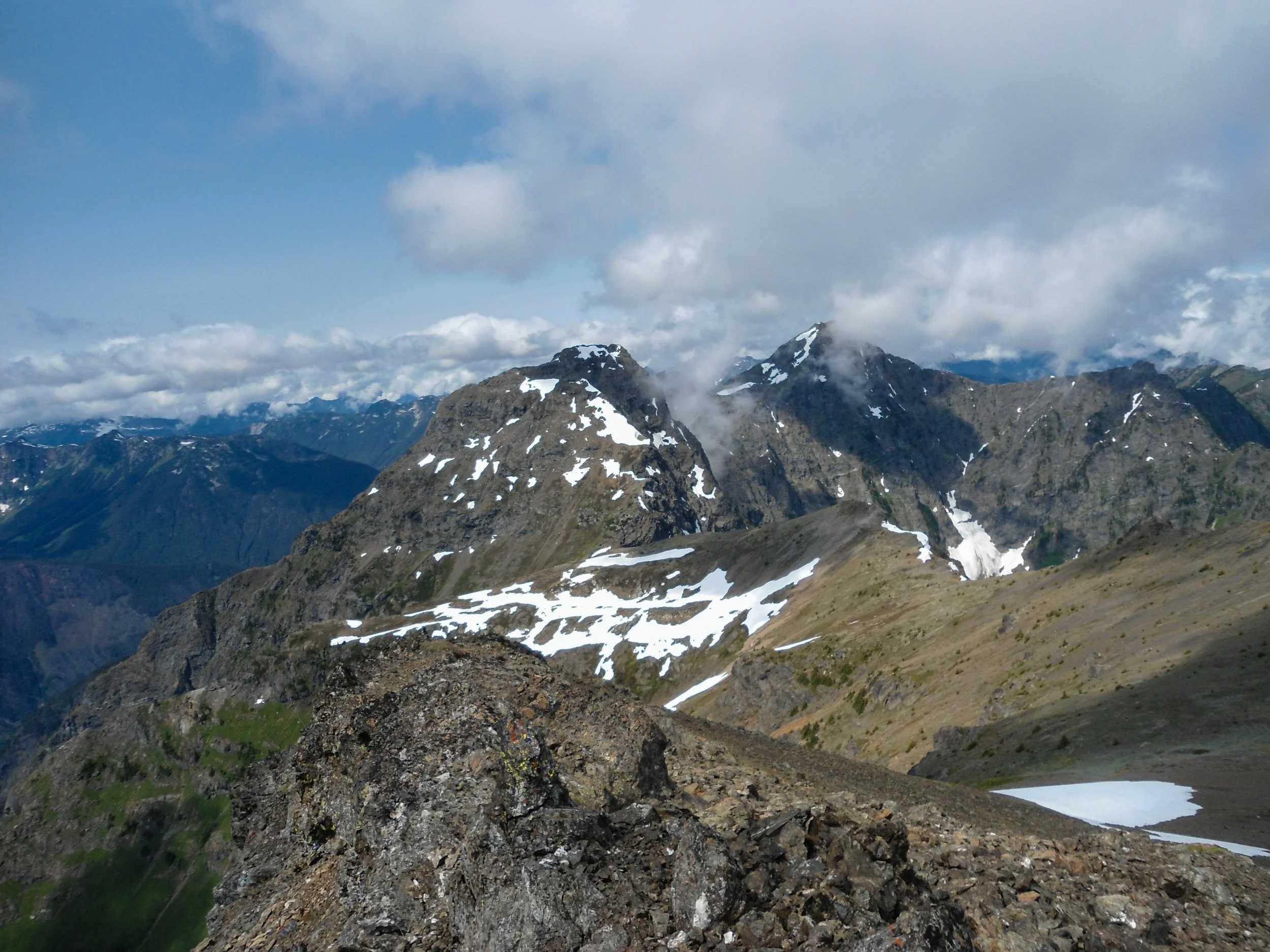
The rocky summit of Rideout
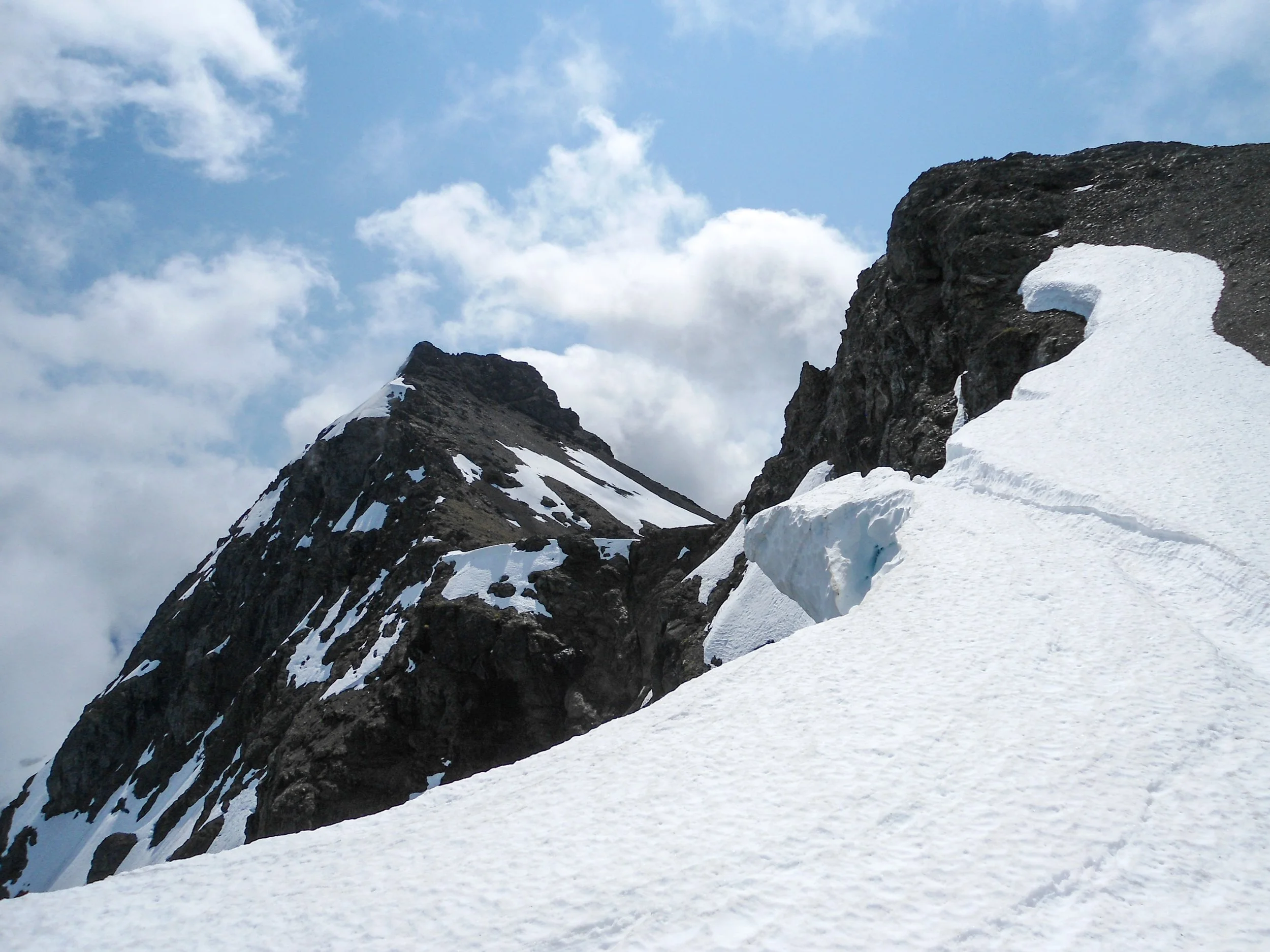
Looking at the true summit
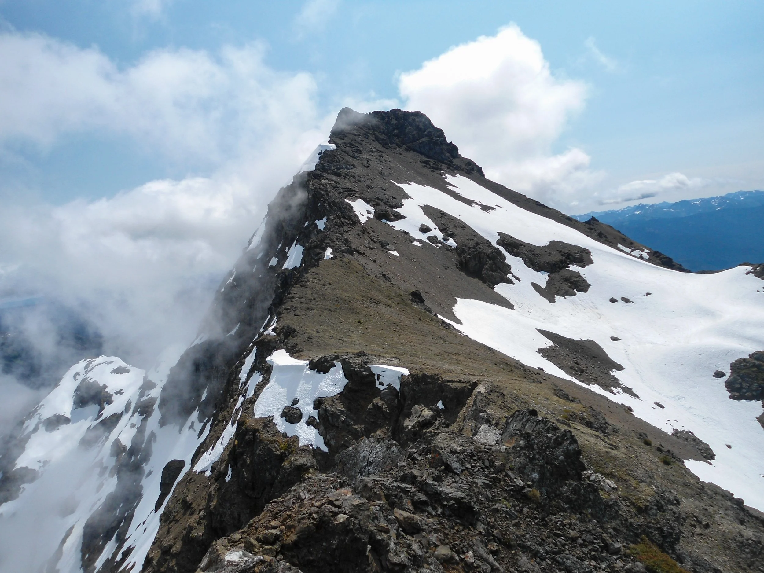
True summit
The views from the summit were unreal; the 6,000+ feet of prominence were definitely felt. Unfortunately, it wasn't a bluebird day, but even so, the North Cascadian peaks along the US/Canadian border were all visible, which was awesome.
The descent down to the meadows was pleasant, and I even glissaded down a late-season snowfield. The fun, however, ended as I entered the burn zone. The descent from the burn zone to the car was one of the most unpleasant few hours of my life. Glad I submitted, but I will not be back; the approach is that bad.
Overall, I would only recommend this one if you're into peakbagging. The mountain's prominence makes it a must-do for someone like me who cares about prominence and a mountain's elevation. If you're not like me, I’d skip this one. The meadows and views up top are awesome, but the section down below is horrible. But hey, gotta do a character-building climb at least once a year. As always, Stay Safe and Happy Hiking.
Final Stats: 8 Miles - 6,750’ Gain - 10:40 C2C
